American Maps
3
to
1
2
1
3
3
3
1
2
1
2
1
1
1
5
3
3
3
3
1
Place of Origin: American
Recognized Seller Listings
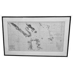
Scarce U.S. Coast Survey Map Depicting Entrance to San Francisco Bay Dated 1856
Located in San Francisco, CA
A fine example of the 1856 U.S. Coast lithographic survey nautical chart of the entrance to San Francisco bay and the city. Published in 1856 by the Office of the Coast Survey the of...
Category
Mid-19th Century Antique American Maps
Materials
Paper
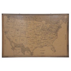
Vintage Framed United States Map
Located in New York, NY
Vintage aged paper map of the United States mounted on particle board and framed in a simple wooden frame.
Category
20th Century Mid-Century Modern American Maps
Materials
Wood, Paper
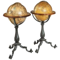
Pair of Floor Standing Globes by Gilman Joslin
By Gilman Joslin
Located in Lymington, Hampshire
A pair of 16-inch floor standing globes by Gilman Joslin, each set into a cast-iron tripod base with an acanthus-leaf baluster support on three b...
Category
19th Century Antique American Maps
Materials
Iron
Related Items
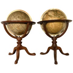
Pair of 19th Century English J & W Cary Celestial/Terrestrial Table Model Globes
By John & William Cary
Located in Milford, NH
A fine assembled pair of 12-inch English table model globes on stands manufactured by J & W. Cary, the left globe with cartouche labeled “The New Celestial Globe, on which are correc...
Category
Early 19th Century Antique American Maps
Materials
Brass
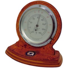
S.S. United States Thermometer
Located in Hanover, MA
Vintage SS United States Thermometer by the British Rototherm Co. Ltd. London, England About 4.75" high and 5.25" wide. This table/desk top thermometer is in a leather clad wood case...
Category
1950s Mid-Century Modern Vintage American Maps
Materials
Leather
18-inch Globe, Cary's, London, 1840
By Cary’s
Located in Milano, IT
John and William Cary
Updated by George and John Cary
Terrestrial Globe
London, 1840
lb 22 (kg 10)
Slight surface abrasions due to use. A small crack on the horizon circle.
The globe rests in its original Dutch style stand with four supporting turned wood columns.
It measures 26 in in height x 23.6 in in diameter with the diameter of the sphere measuring 18 in; 66 cm in height x 60 cm in diameter with the diameter of the sphere measuring 45.72 cm.
The 18 inch...
Category
1840s Early Victorian Antique American Maps
Materials
Wood, Paper
Antique World Globe From Fleet Street London 1923 on Wooden Stand
Located in High Wycombe, GB
Antique Terrestrial Geographia of Fleet Street London 12"inch World Globe on handcrafted Wooden Three Legged Base 1923
Made 55 Fleet Street, London
Beautiful desktop globe, sho...
Category
1920s Art Deco Vintage American Maps
Materials
Wood, Paper
19th Century German Miniature Pocket Terrestrial Globe
By C. Abel-Klinger
Located in Essex, MA
A miniature 19th century 3.5 inch diameter pocket terrestrial globe by C. Abel-Klinger, Nuremberg, Germany, in English for the English speaking markets. Signed with cartouche reading...
Category
1880s Antique American Maps
Materials
Brass
World Globe With Wooden Foot, and Brass 20th Century
Located in Mombuey, Zamora
Beautiful and elegant ball of the world to decorate any studio, living room or bedroom, it is small, with the base about 26 cm high and 10 wide.
Category
20th Century Other American Maps
Materials
Brass
1889s Antique Celestial Globe Signed Gussoni e Dotti Milano Papier Maché Sphere
Located in Milan, IT
Celestial globe compiled on the Hesi & Gould catalogs by Eng. Pini and published in 1889 by Gussoni & Dotti Milano piazza del Duomo. Sphere in paper mache covered with paper printed by engraving on copper plate and hand watercolored, base in turned and ebonized wood.
Good condition, conservative restoration at the base. Measures: Height 45 cm, inche 17.8, sphere diameter 22 cm 8.7.
Giovanni Gussoni in 1874 bought the business of Antonio Ronchi typographer in Via Unione 5 in Milan, and then moved in 1883 to the shop of the Southern Porticoes in Piazza Duomo. Giovanni Gussoni was followed by his son Vittorio, who on April 16, 1907 sold the company to a collaborator, Giovanni Serra, who continued the business until November 1914.
Man has always wanted to know the world in which he lives and has used all the means available to measure the space that surrounds him to expand his knowledge more and more. The conditions that allowed man to develop models of the world and space were probably realized only after...
Category
1880s Antique American Maps
Materials
Paper
Reproduction Giovanni Maria Cassini 1790 Terrestrial Globe And 1792 Celestial Gl
Located in Bridgeport, CT
Cassini terrestrial globe- Roma 1790. Observations of the voyages and new discoveries of Englishman Captain Cook.
Along with the 1792 Cassini celestial globe with charts of the heav...
Category
20th Century Renaissance American Maps
Materials
Wood, Paper
H 18.5 in W 17.5 in D 17.5 in
Floor Standing Globe On A Turned Hardwood & Brass Stand Model No 16
By Cram's
Located in High Wycombe, GB
Crams Imperial World Globe
Floor Standing Globe On A Turned Hardwood & Brass Stand Model No 16
Manufactured by George F Cram Co. Indiana, U.S.A
Sizes are guesstimates
Category
Early 20th Century Victorian American Maps
Materials
Brass
H 34.26 in W 15.75 in D 14.97 in
Antique Map of The United States of North America, 1882
Located in Langweer, NL
This is a historical map titled "The United States of North America, Central Part" from the 1882 Blackie Atlas. It depicts the continental United States with a high level of detail, ...
Category
1880s Antique American Maps
Materials
Paper
"San Francisco, Upper California” 1851 Antique Map of San Francisco
Located in Colorado Springs, CO
This is a pictorial lettersheet view of the city and harbor of San Francisco. This lithograph was printed on grey wove paper, across a double sheet, by famed lithographers Britton & ...
Category
1850s Antique American Maps
Materials
Paper
Antique Hammond's 6-Inch Terrestrial Globe on Stand
By C.S. Hammond & Co.
Located in Philadelphia, PA
Offered here for your consideration is, A fine antique 6-inch terrestrial globe.
Additional Details:
By C.S. Hammond & Co.
The globe likely dates from 1927 to 1930 due to the ...
Category
20th Century Art Deco American Maps
Materials
Wood, Paper
Previously Available Items
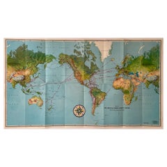
Pan American Airways 1952 World Route Map
By Pan American Airways
Located in New York, NY
World Route Map published in 1952 by Pan American World Airways and printed by Jeppesen and Company, showing the worldwide destinations on six continents ser...
Category
1950s Mid-Century Modern Vintage American Maps
Materials
Paper
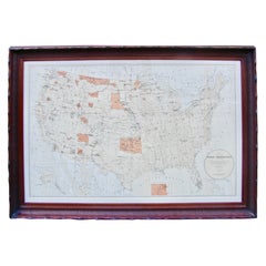
Map of American Indian Reservations 1884 in Period Walnut Frame
Located in San Francisco, CA
Washington: Department of the Interior. This interesting 1884 map presents the Indian Reservations in the United States and its territories covering the entire United States with Ala...
Category
1880s Antique American Maps
Materials
Walnut, Paper
World Map by J.H. Colton 1860 Custom Framed with French Mat
Located in San Francisco, CA
A highly decorative colored engraving depicting the world published by J.H. Colton & Co. in 1860, the map beautifully hand colored and rendered. French matted and custom framed.
Category
Mid-19th Century Antique American Maps
1913 Map of Long Island, NY
By Julius Bien
Located in Sagaponack, NY
1913 topographic map of Long Island N.Y. "Engraved from U.S. Geological Survey Topographic Sheets". Custom made frame in solid oak with natural leat...
Category
Early 20th Century American Maps
Materials
Paper, Oak, Glass, Leather
Extremely Rare French and Indian War Period Powder Horn
Located in Greenwich, CT
Extremely rare Circa 1760 French and Indian War period powderhorn with a map of the water routes of New York depicting New York harbor, the Royal Block House Fort, Fort Stanwix and Fort Hartman, showing the Hudson and Mohawk rivers
Category
18th Century and Earlier Antique American Maps
Recently Viewed
View AllMore Ways To Browse
Greek Asia Minor
Antique Maps Canada
Antique Map Canada
Canada Antique Map
West Indies Map
Antique Portuguese Plates
Map Huge
Antique Maps Of Canada
Bali Map
Antique Map South Africa
Antique Map Of South Africa
South Africa Antique Map
Map Of West Indies
Belgium Army
Sweden Antique Map
Belgian Army
Cornelius Company
Antique Nautical Maps
