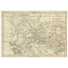
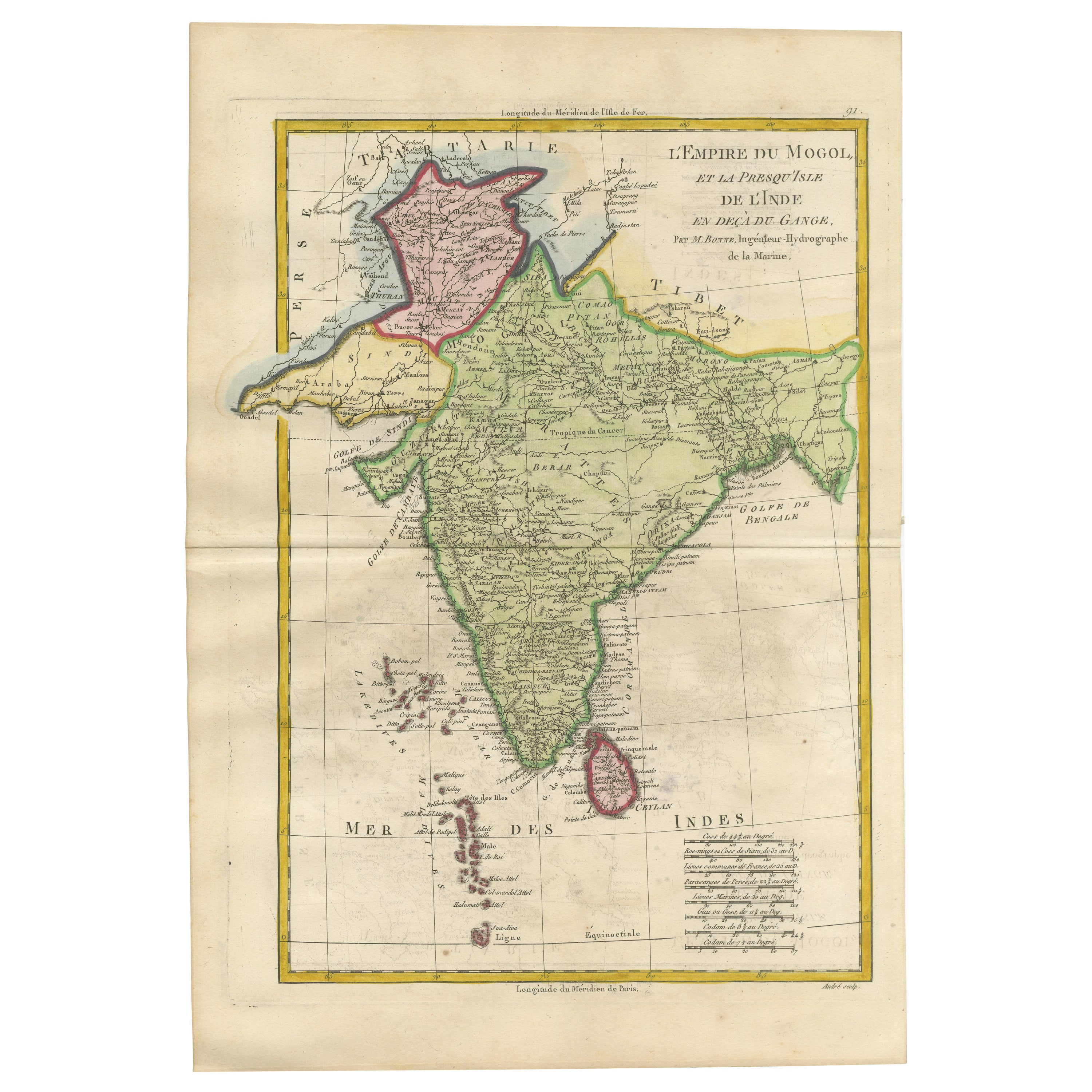
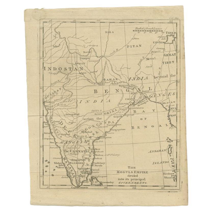
Original Antique Map of Hindustan or the Mughal Empire
View Similar Items


Want more images or videos?
Request additional images or videos from the seller
1 of 6
Original Antique Map of Hindustan or the Mughal Empire
About the Item
- Dimensions:Height: 10.16 in (25.8 cm)Width: 14.57 in (37 cm)Depth: 0.02 in (0.5 mm)
- Materials and Techniques:
- Period:
- Date of Manufacture:1782
- Condition:General age-related toning. Original folding lines. Minor losses in right margin. Some wear and soiling. Blank verso. Please study image carefully.
- Seller Location:Langweer, NL
- Reference Number:Seller: BG-13507-61stDibs: LU3054335845782
About the Seller
5.0
Platinum Seller
These expertly vetted sellers are 1stDibs' most experienced sellers and are rated highest by our customers.
Established in 2009
1stDibs seller since 2017
1,949 sales on 1stDibs
More From This SellerView All
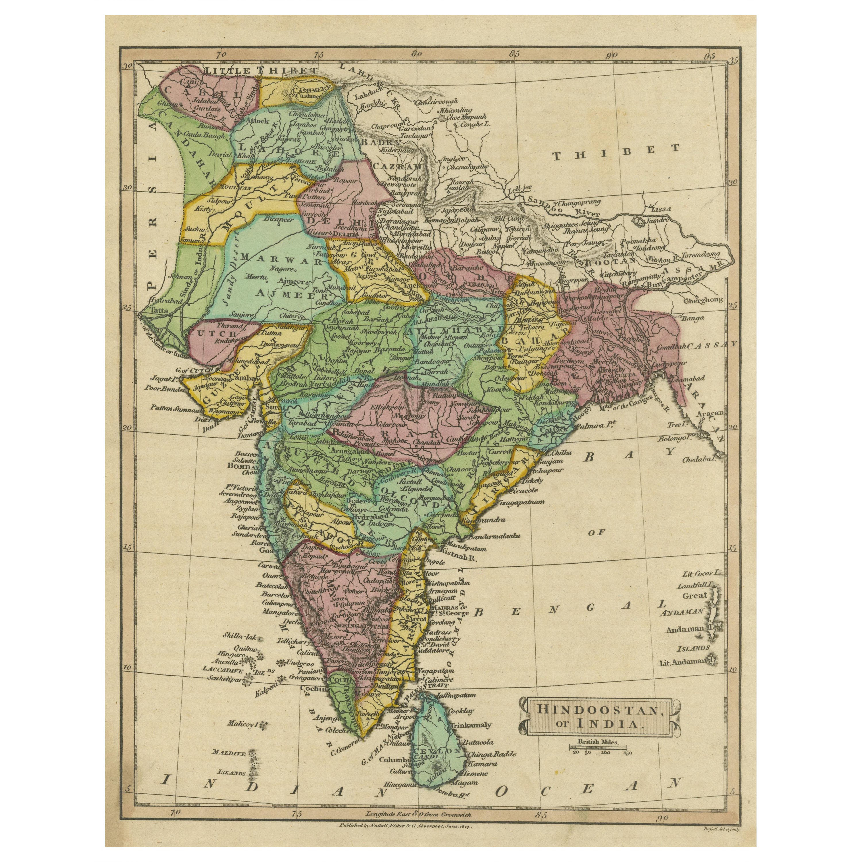
- Antique Map of Hindustan, or IndiaLocated in Langweer, NLAntique map titled 'Hindoostan, or India'. Original antique map of India (Hindustan) and Sri Lanka (Ceylon). Engraved by Russell. Published by Nuttall, Fisher & Co, 1814.Category
Antique Early 19th Century Maps
MaterialsPaper
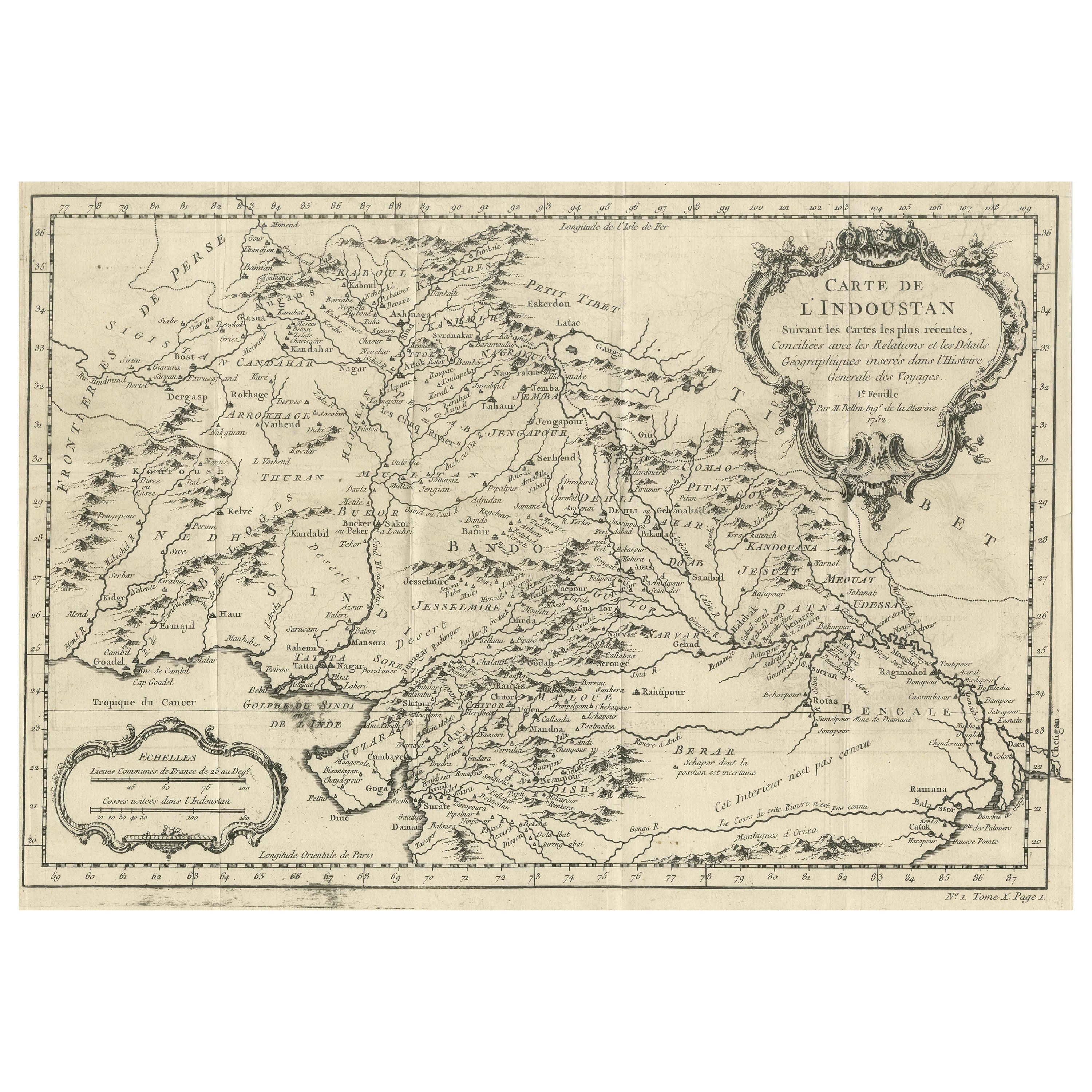
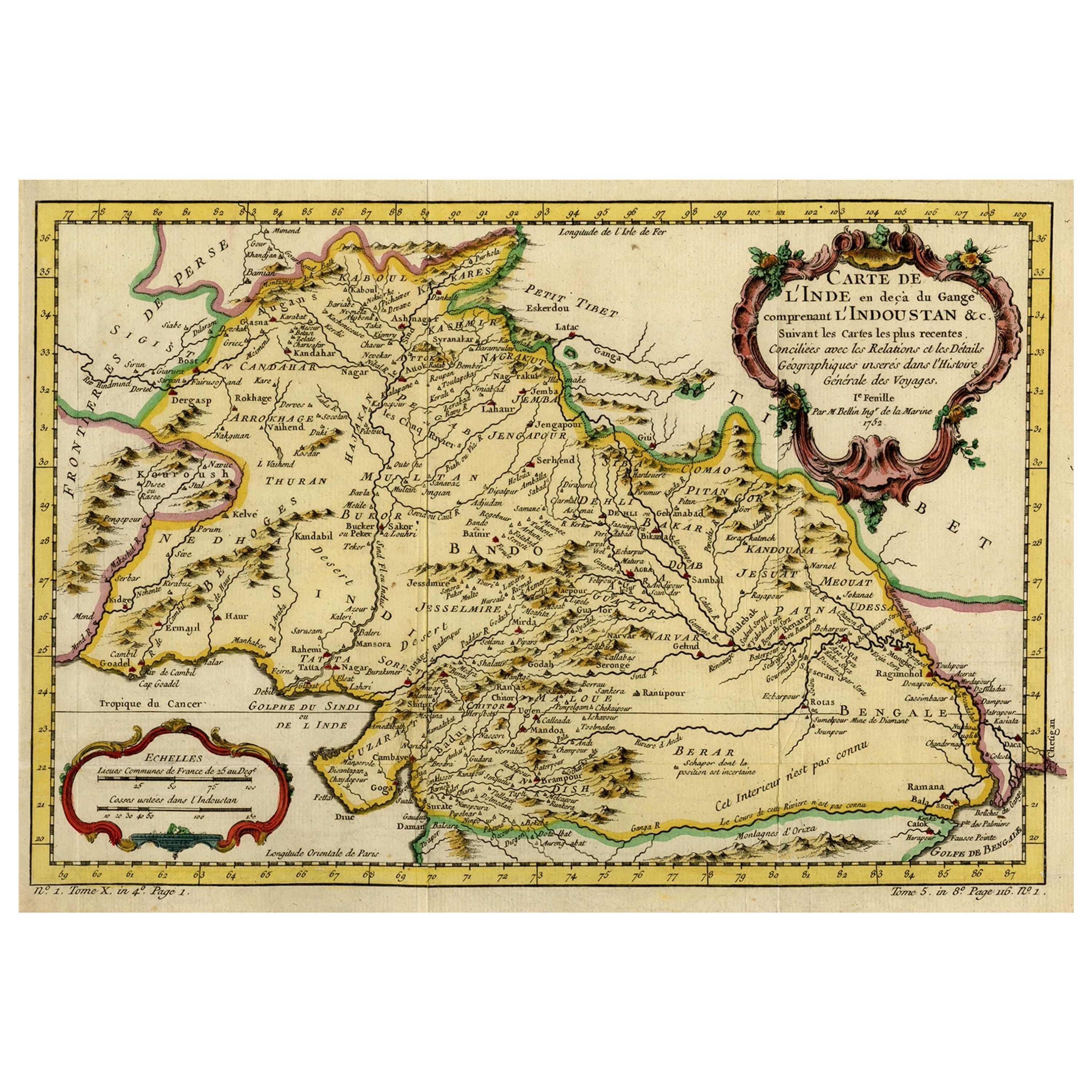
- Antique Map of part of India, the Ganges and HindustanLocated in Langweer, NLAntique map titled 'Carte de l'Indoustan'. Original antique map of part of India, the Ganges and Hindustan. This map originates from 'Histoire Generale Des Voyages' by Antoine Franco...Category
Antique Mid-18th Century Maps
MaterialsPaper
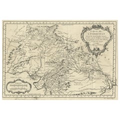
- Antique Map of the Mughal Empire by Van der Aa, C.1725By Pieter Van Der AaLocated in Langweer, NLAntique map titled 'Royaume de Grand Mogol (..).' This map shows the extend of the Mughal Empire, which includes northern India, from Golconda to Afghanistan and eastwards to Bengal....Category
Antique 18th Century Maps
MaterialsPaper
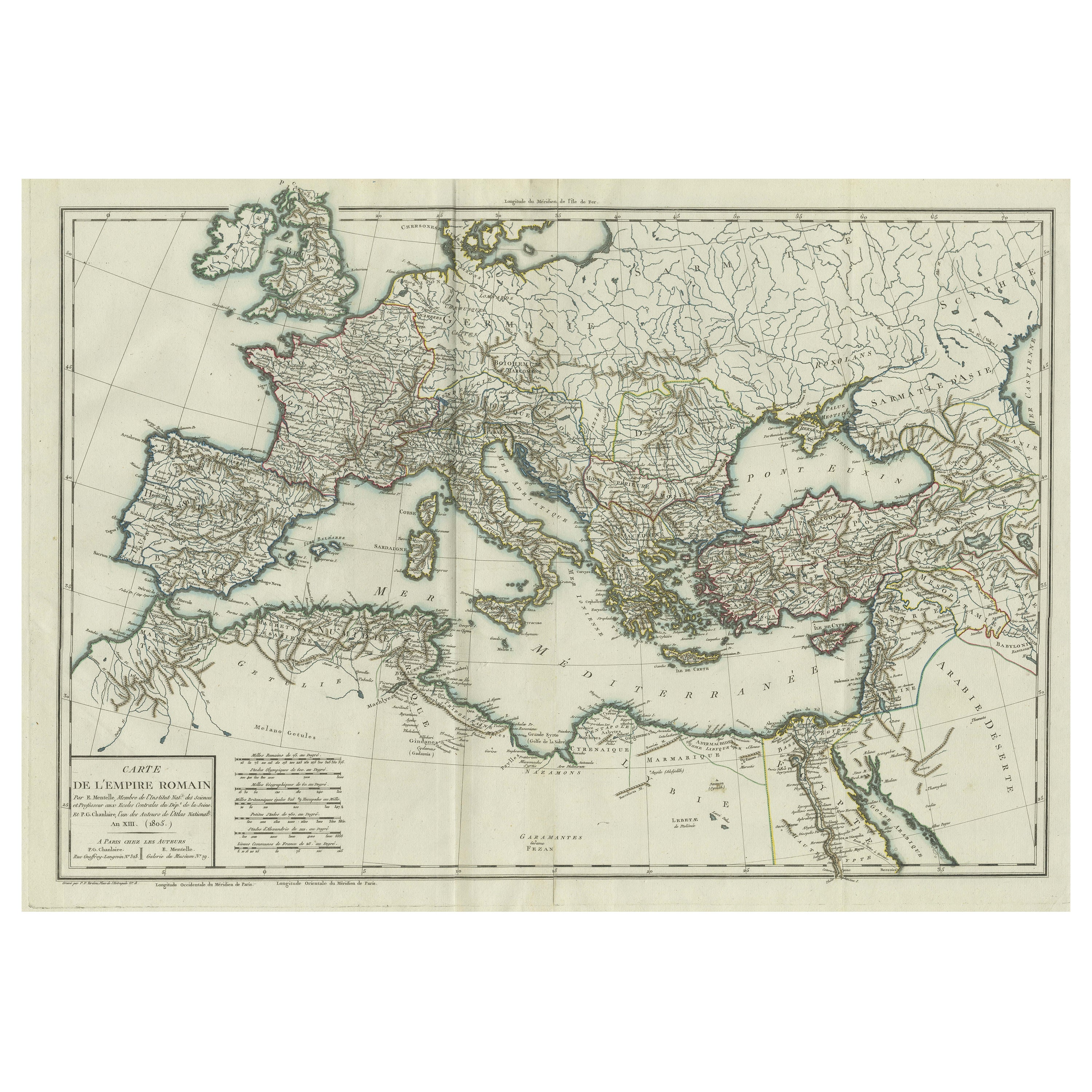
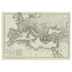
- Original Antique Map of the Roman EmpireLocated in Langweer, NLAntique map titled 'Carte de l'Empire Romain'. Original antique map of the Roman Empire, two sheets joined. Engraved by Pierre Francois Tardieu and published by Edme Mentelle, circa ...Category
Antique Late 18th Century Maps
MaterialsPaper
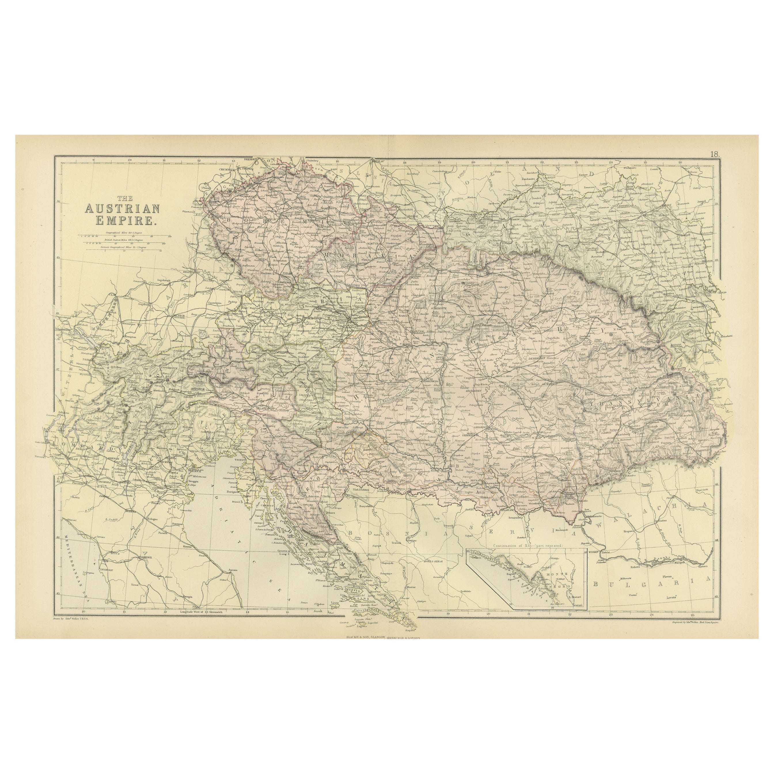
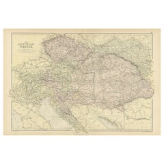
- Original Antique Map of The Austrian Empire, 1882Located in Langweer, NLStep into the past with an original Antique Map of The Austrian Empire from the esteemed 'Comprehensive Atlas and Geography of the World,' meticulously crafted in 1882. This intricat...Category
Antique 1880s Maps
MaterialsPaper
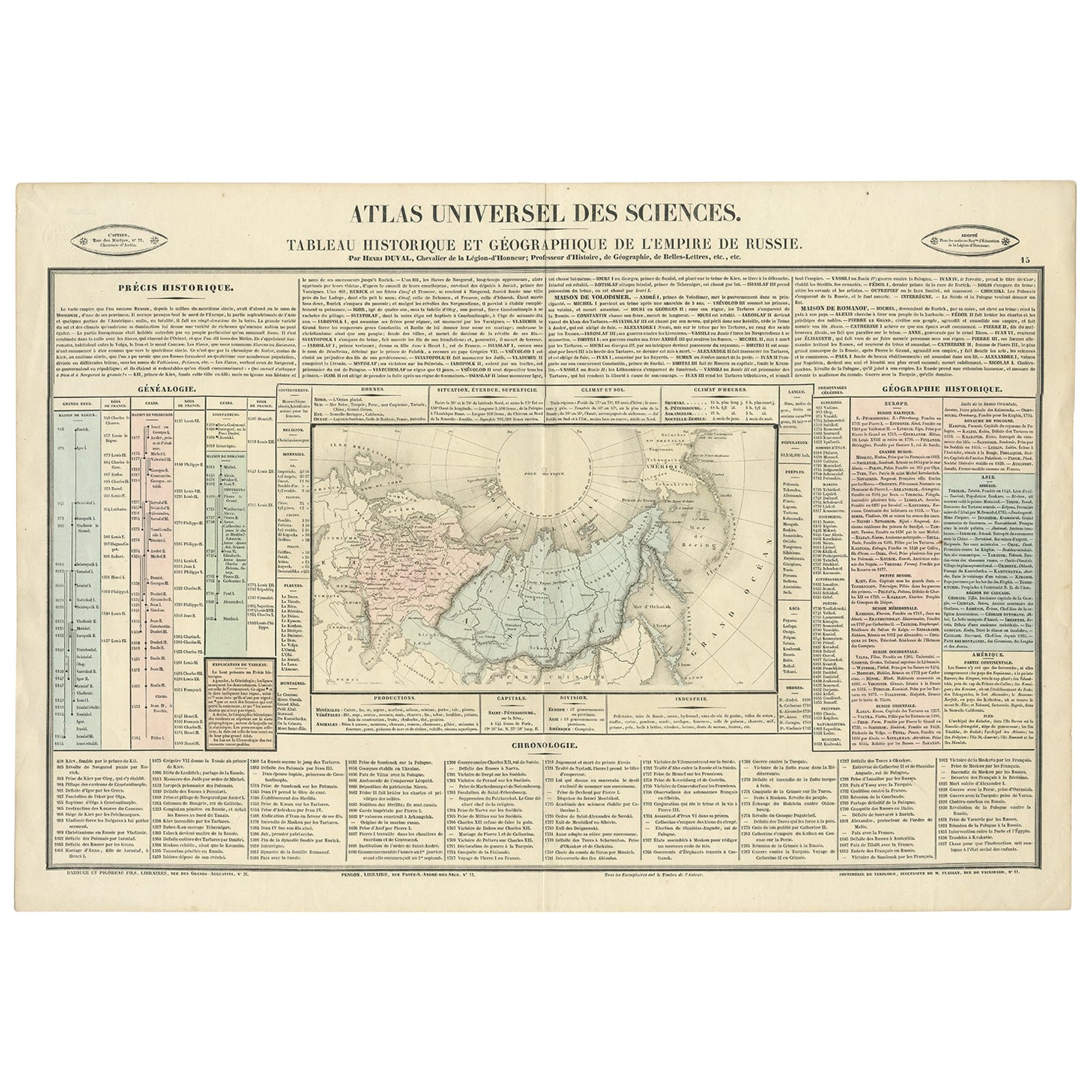
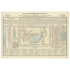
- Original French Antique Map of the Russian Empire, 1837Located in Langweer, NLAntique map titled 'Tableau Historique et Géographique de L'Empire de Russie'. Original antique map of the Russian Empire will detailed written information about the chronology, ...Category
Antique 1830s Maps
MaterialsPaper


You May Also Like
- Large Original Antique Map of The World, Fullarton, C.1870Located in St Annes, LancashireGreat map of the World. Showing both hemispheres From the celebrated Royal Illustrated Atlas Lithograph. Original color. Published by Fullarton, Edinburgh, C.1870 Unframed. Rep...Category
Antique 1870s Scottish Maps
MaterialsPaper
- Original Antique Map of the American State of Pennsylvania, 1889Located in St Annes, LancashireGreat map of Pennsylvania Drawn and Engraved by W. & A.K. Johnston Published By A & C Black, Edinburgh. Original colour Unframed. Repair to a minor tear on bottom edge.Category
Antique 1880s Scottish Victorian Maps
MaterialsPaper
- Original Antique Map of the American State of Washington, 1889Located in St Annes, LancashireGreat map of Washington Drawn and Engraved by W. & A.K. Johnston Published By A & C Black, Edinburgh. Original colour Unframed.Category
Antique 1880s Scottish Victorian Maps
MaterialsPaper
- Original Antique Map of the American State of Oregon, 1889Located in St Annes, LancashireGreat map of Oregon Drawn and Engraved by W. & A.K. Johnston Published By A & C Black, Edinburgh. Original colour Unframed.Category
Antique 1880s Scottish Victorian Maps
MaterialsPaper
- Original Antique Map of Italy. C.1780Located in St Annes, LancashireGreat map of Italy Copper-plate engraving Published C.1780 Unframed.Category
Antique Early 1800s English Georgian Maps
MaterialsPaper

- Original Antique Map of Asia. C.1780Located in St Annes, LancashireGreat map of Asia Copper-plate engraving Published C.1780 Two small worm holes to right side of map Unframed.Category
Antique Early 1800s English Georgian Maps
MaterialsPaper


Recently Viewed
View AllMore Ways To Browse
Atlas 42
Large Old Map
Map Collection
Antique Kiel Furniture
Collectible Barbies
Jackson Hole Map
Miles Johnston
Native American Mountie
Toledo Scale Company Antique
Vintage Marthas Vineyard Map
Charente Map
F Colton
Ian Maguire
Ithaca Antique Map
Rand McNally & Co. On Sale
Vintage Butcher Shop Posters
Antique Ornamental Map
Asian Centric World Map