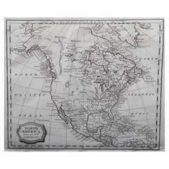
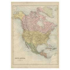
Original Antique Map of North America, Engraved By Barlow, 1806
View Similar Items


Want more images or videos?
Request additional images or videos from the seller
1 of 5
Auction endedBrowse Current Auctions
Original Antique Map of North America, Engraved By Barlow, 1806
About the Item
About the Seller
4.9
Platinum Seller
These expertly vetted sellers are 1stDibs' most experienced sellers and are rated highest by our customers.
1stDibs seller since 2016
2,597 sales on 1stDibs
Associations
International Confederation of Art and Antique Dealers' Associations
More From This SellerView All
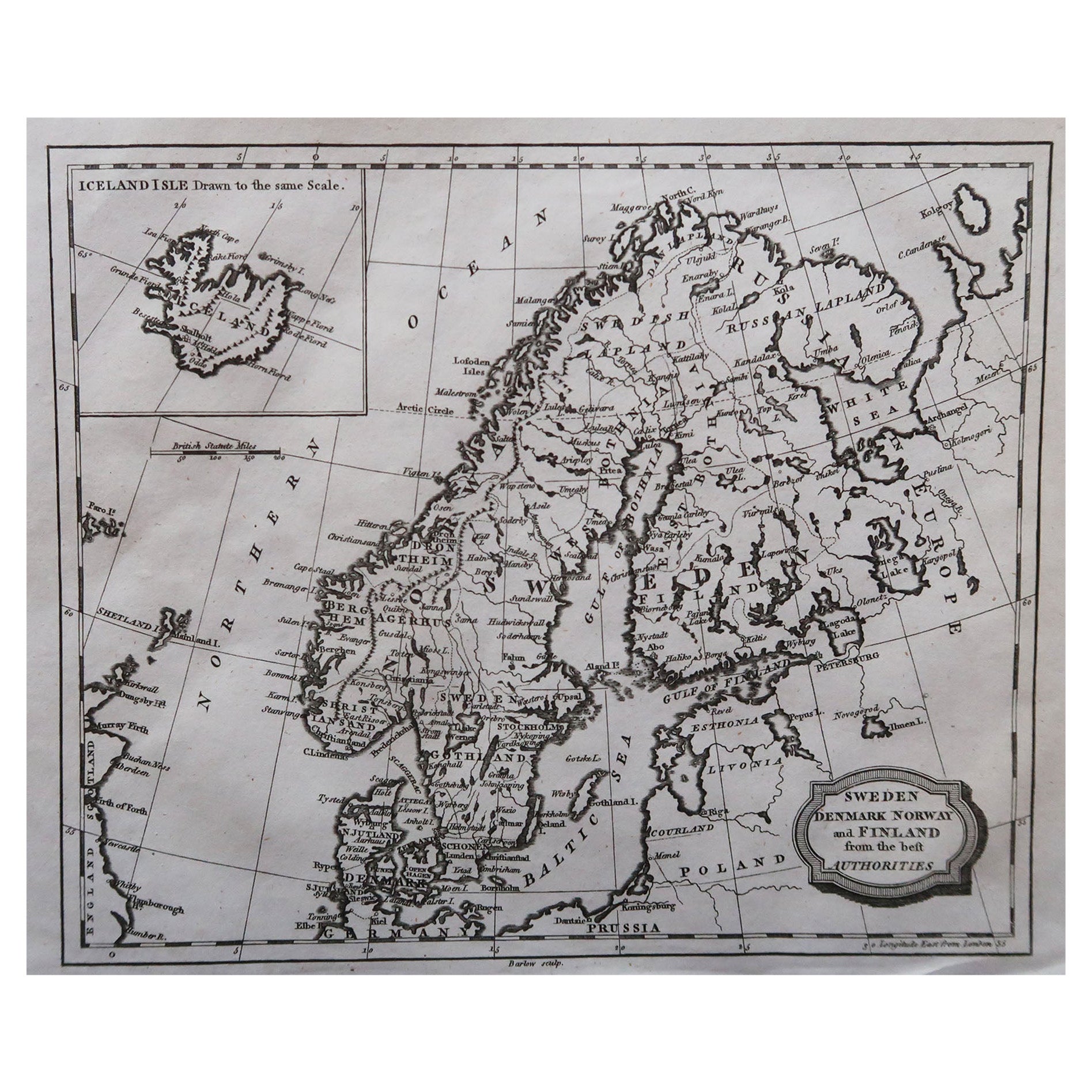
- Original Antique Map of Sweden, Engraved by Barlow, 1806Located in St Annes, LancashireGreat map of Sweden Copper-plate engraving by Barlow Published by Brightly & Kinnersly, Bungay, Suffolk. 1806 Unframed.Category
Antique Early 1800s English Maps
MaterialsPaper
- Original Antique Map of Spain and Portugal, Engraved By Barlow, 1806Located in St Annes, LancashireGreat map of Spain And Portugal Copper-plate engraving by Barlow Published by Brightly & Kinnersly, Bungay, Suffolk. 1806 Unframed.Category
Antique Early 1800s English Maps
MaterialsPaper
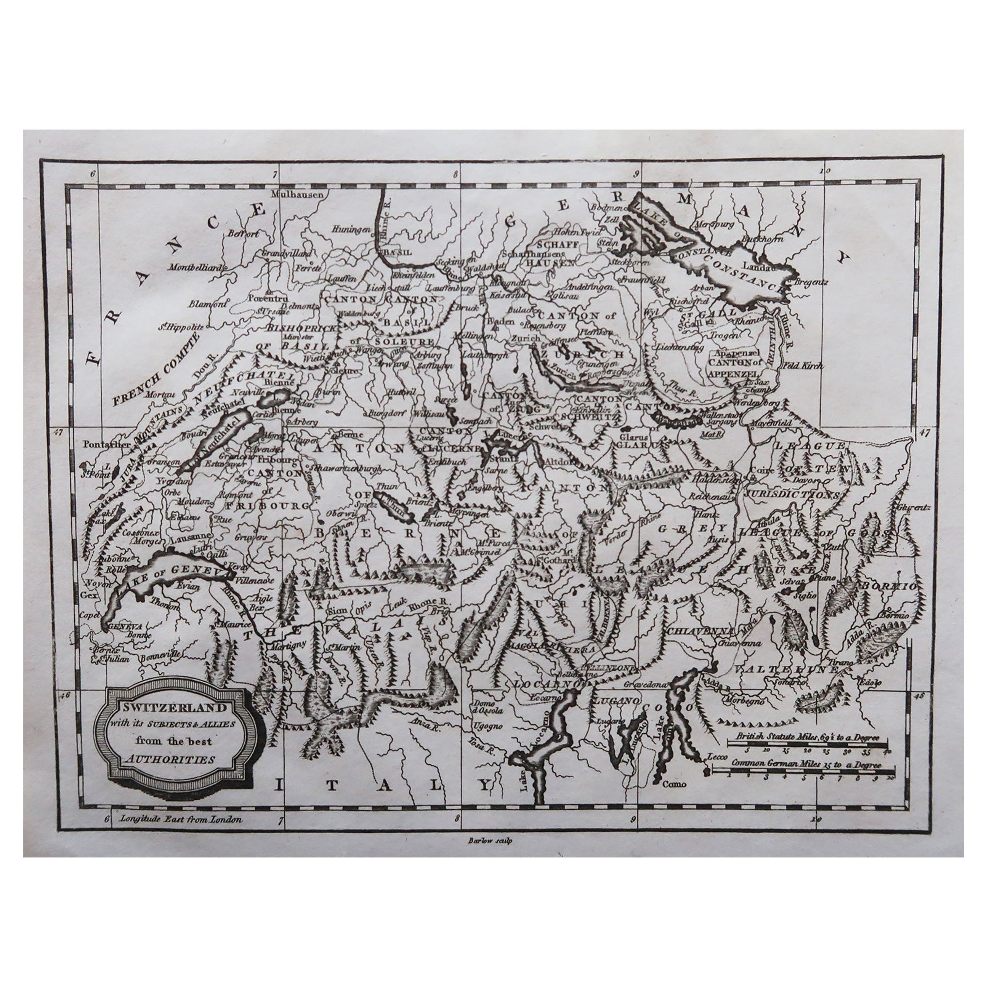
- Original Antique Map of Switzerland, Engraved By Barlow, Dated 1807Located in St Annes, LancashireGreat map of Switzerland Copper-plate engraving by Barlow Published by Brightly & Kinnersly, Bungay, Suffolk. Dated 1807 Unframed.Category
Antique Early 1800s English Maps
MaterialsPaper
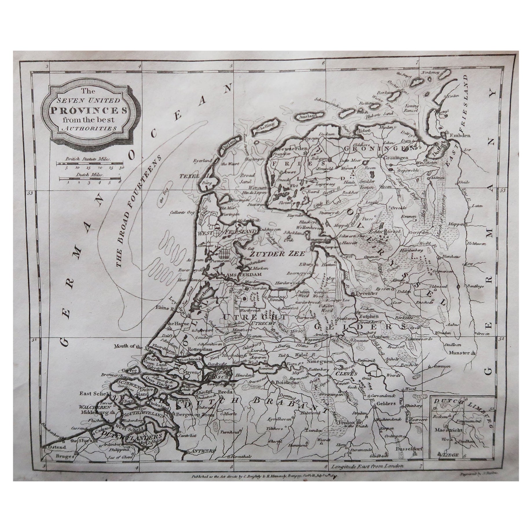
- Original Antique Map of The Netherlands, Engraved by Barlow, Dated 1807Located in St Annes, LancashireGreat map of Netherlands Copper-plate engraving by Barlow Published by Brightly & Kinnersly, Bungay, Suffolk. Dated 1807 Unframed.Category
Antique Early 1800s English Maps
MaterialsPaper
- Original Antique Map of South America. C.1780Located in St Annes, LancashireGreat map of South America Copper-plate engraving Published C.1780 Two small worm holes to left side of map Unframed.Category
Antique Early 1800s English Georgian Maps
MaterialsPaper

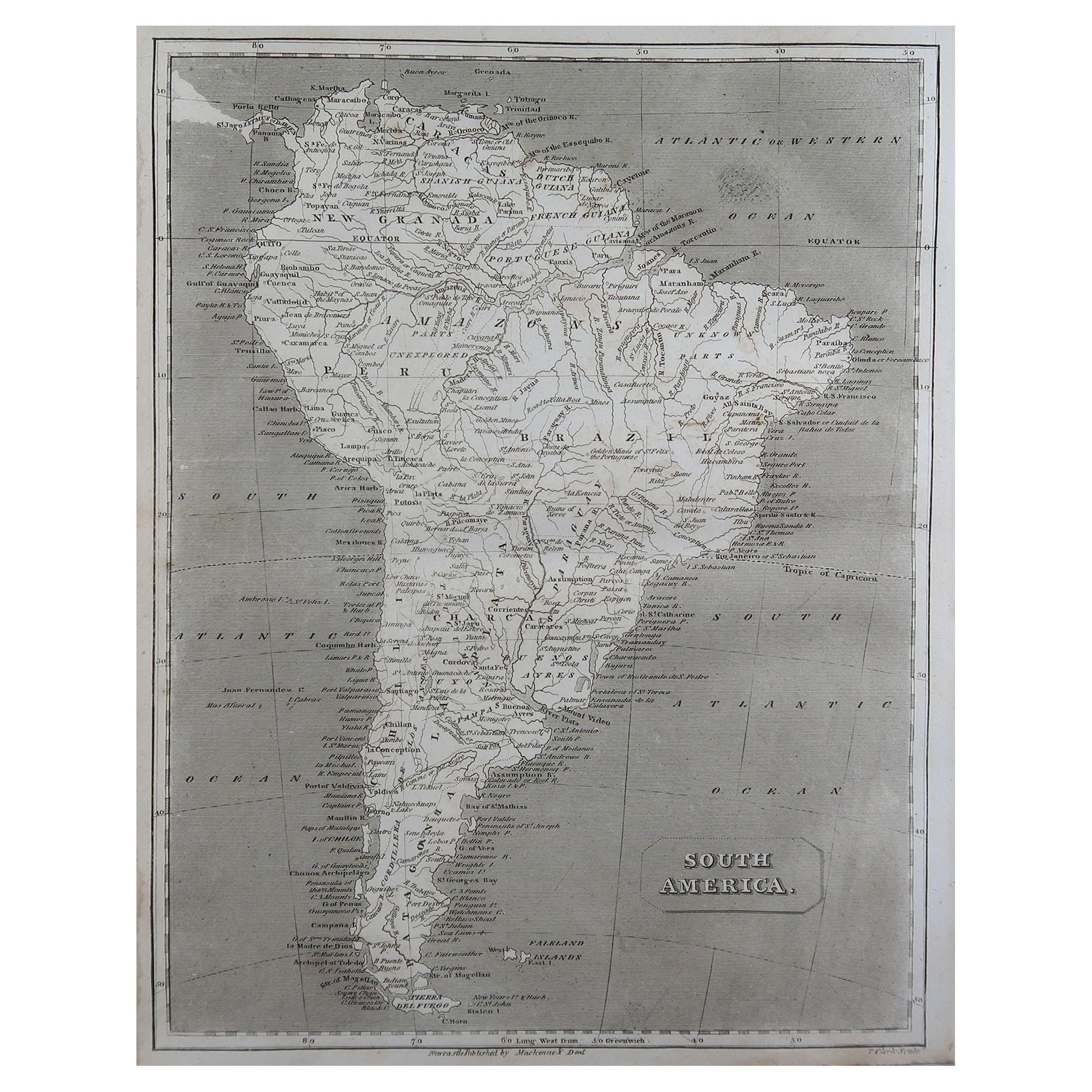
- Original Antique Map of South America by Thomas Clerk, 1817Located in St Annes, LancashireGreat map of South America Copper-plate engraving Drawn and engraved by Thomas Clerk, Edinburgh. Published by Mackenzie And Dent, 1817 Unframed.Category
Antique 1810s English Maps
MaterialsPaper


You May Also Like
- Antique Map of North America, 1821Located in Langweer, NLAntique map of America titled 'Carte de l'Amerique septentrionale'. Scarce map of North America, shortly after the Louisiana Purchase and the first ...Category
Antique 19th Century Maps
MaterialsPaper
- Antique Map of North America by Johnson, '1872'Located in Langweer, NLAntique map titled 'Johnson's North America'. Original map of North America, with an inset map of the Hawaiian group or Sandwich Islands. This map originates from 'Johnson's New Illu...Category
Antique Late 19th Century Maps
MaterialsPaper
 $351 Sale Price20% Off
 - Antique Map of North America by Wyld '1845'Located in Langweer, NLAntique map titled 'North America'. Original antique map of North America. This map originates from 'An Atlas of the World, Comprehending ...Category
Antique Mid-19th Century Maps
MaterialsPaper
 $179 Sale Price34% Off
 - Antique Map of North America by Levasseur '1875'Located in Langweer, NLAntique map titled 'Carte générale de l'Amérique Septentrionale'. Large map of North America. This map originates from 'Atlas de Géographie Modern...Category
Antique Late 19th Century Maps
MaterialsPaper
- Antique Map of North America by Lapie '1842'Located in Langweer, NLAntique map titled 'Carte de l'Amérique septentrionale'. Map of North America, with an inset map of the Aleutian Islands. This map originates from 'Atlas universel de géographie anci...Category
Antique Mid-19th Century Maps
MaterialsPaper
- Antique Map of North America by A & C. Black, 1870Located in Langweer, NLAntique map titled 'North America'. Original antique map of North America. This map originates from ‘Black's General Atlas of The World’. Published by A & C. Black, 1870.Category
Antique Late 19th Century Maps
MaterialsPaper


Recently Viewed
View AllMore Ways To Browse
Large Antique Compass
Antique New England Maps
Antique Map New England
Antique Map Of New England
Antique Maps New England
Antique Map Of Greece
Antique Greek Map
Antique Greece Map
Antique Maps Greece
Antique Map Greece
Nautical Chart Nautical Chart
Used Nautical Charts
Hemispheres Map
Portugal Map
Antique Travel Map
Turkish Map
Antique World Chart
Map Of Portugal