Items Similar to Original Antique Map of Pennsylvania Showing Interesting Statistics Etc, 1825
Want more images or videos?
Request additional images or videos from the seller
1 of 5
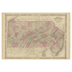
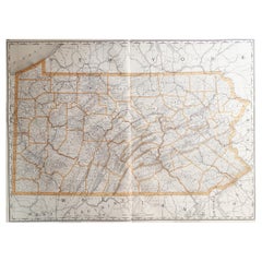
Original Antique Map of Pennsylvania Showing Interesting Statistics Etc, 1825
$333.53
$416.9120% Off
£249.76
£312.2020% Off
€280
€35020% Off
CA$464.84
CA$581.0520% Off
A$509.81
A$637.2720% Off
CHF 266.62
CHF 333.2820% Off
MX$6,159.96
MX$7,699.9520% Off
NOK 3,345.35
NOK 4,181.6820% Off
SEK 3,153.40
SEK 3,941.7420% Off
DKK 2,131.58
DKK 2,664.4720% Off
About the Item
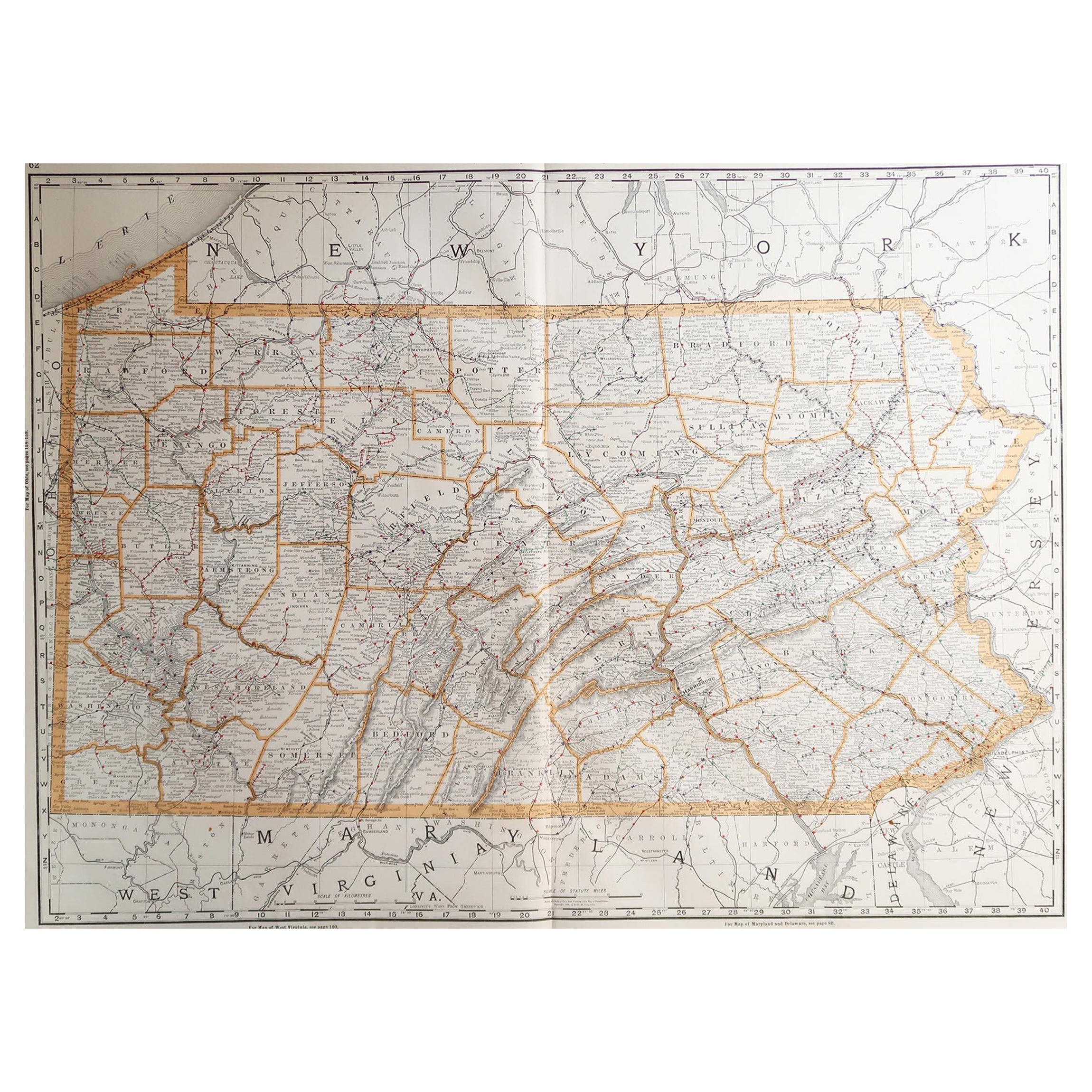
Attractive map of Pennsylvania with bordercoloring of the county and showing the various towns, roads, rivers, bridges, and a host of other details.
The map is surrounded by French text describing the statistics of the state, its population, governors, religion, education, commerce, climate topography and more. This map comes from the French edition of Carey & Lea's American Atlas. The French edition is a superior work, using better paper and a superior engraving technique.
Condition: Good to very good. Strong and clean paper. Original colouring. In the top margins a few faint stains due to handling. Study image carefully.
About the Seller
5.0
Recognized Seller
These prestigious sellers are industry leaders and represent the highest echelon for item quality and design.
Platinum Seller
Premium sellers with a 4.7+ rating and 24-hour response times
Established in 2009
1stDibs seller since 2017
2,647 sales on 1stDibs
Typical response time: <1 hour
- ShippingRetrieving quote...Shipping from: Langweer, Netherlands
- Return Policy
Authenticity Guarantee
In the unlikely event there’s an issue with an item’s authenticity, contact us within 1 year for a full refund. DetailsMoney-Back Guarantee
If your item is not as described, is damaged in transit, or does not arrive, contact us within 7 days for a full refund. Details24-Hour Cancellation
You have a 24-hour grace period in which to reconsider your purchase, with no questions asked.Vetted Professional Sellers
Our world-class sellers must adhere to strict standards for service and quality, maintaining the integrity of our listings.Price-Match Guarantee
If you find that a seller listed the same item for a lower price elsewhere, we’ll match it.Trusted Global Delivery
Our best-in-class carrier network provides specialized shipping options worldwide, including custom delivery.More From This Seller
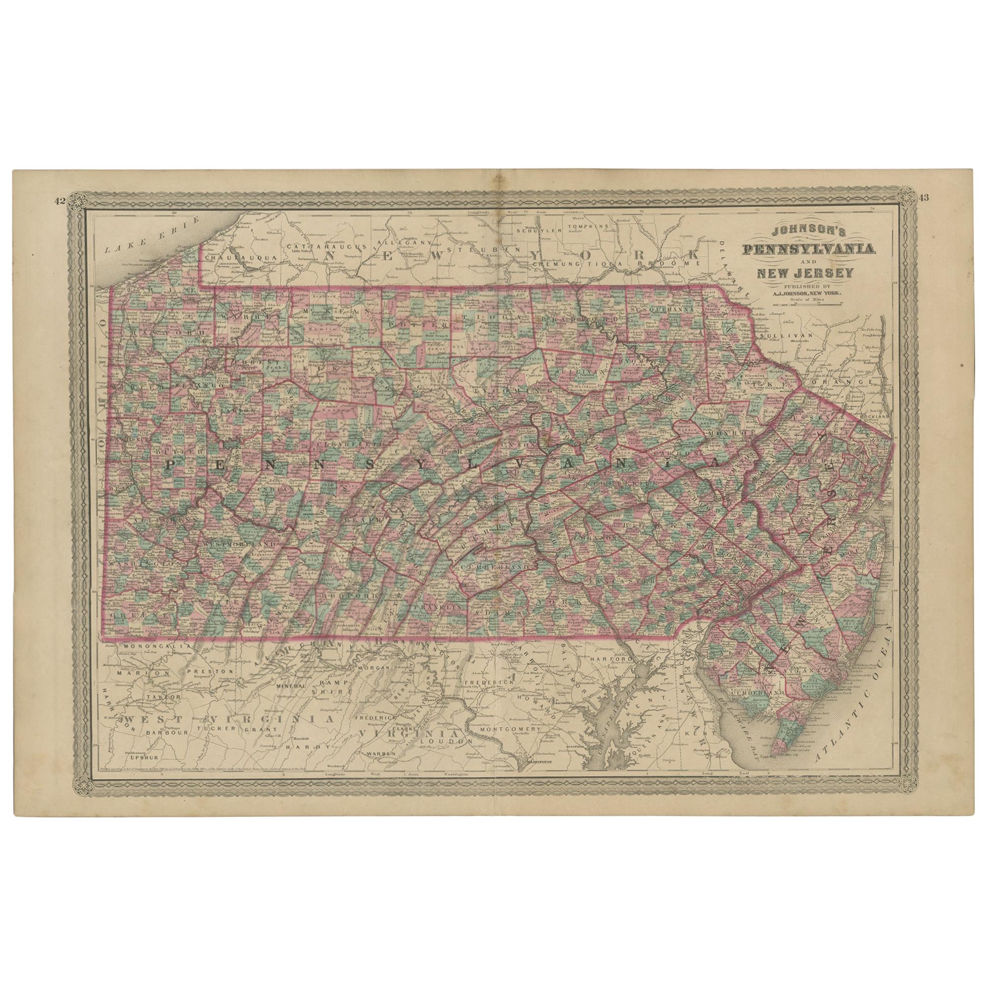
View AllAntique Map of Pennsylvania and New Jersey by Johnson, 1872
Located in Langweer, NL
Antique map titled 'Johnson's Pennsylvania and New Jersey'. Original map showing Pennsylvania and New Jersey. This map originates from 'Johnson's New Illustrated Family Atlas of the ...
Category
Antique Late 19th Century Maps
Materials
Paper

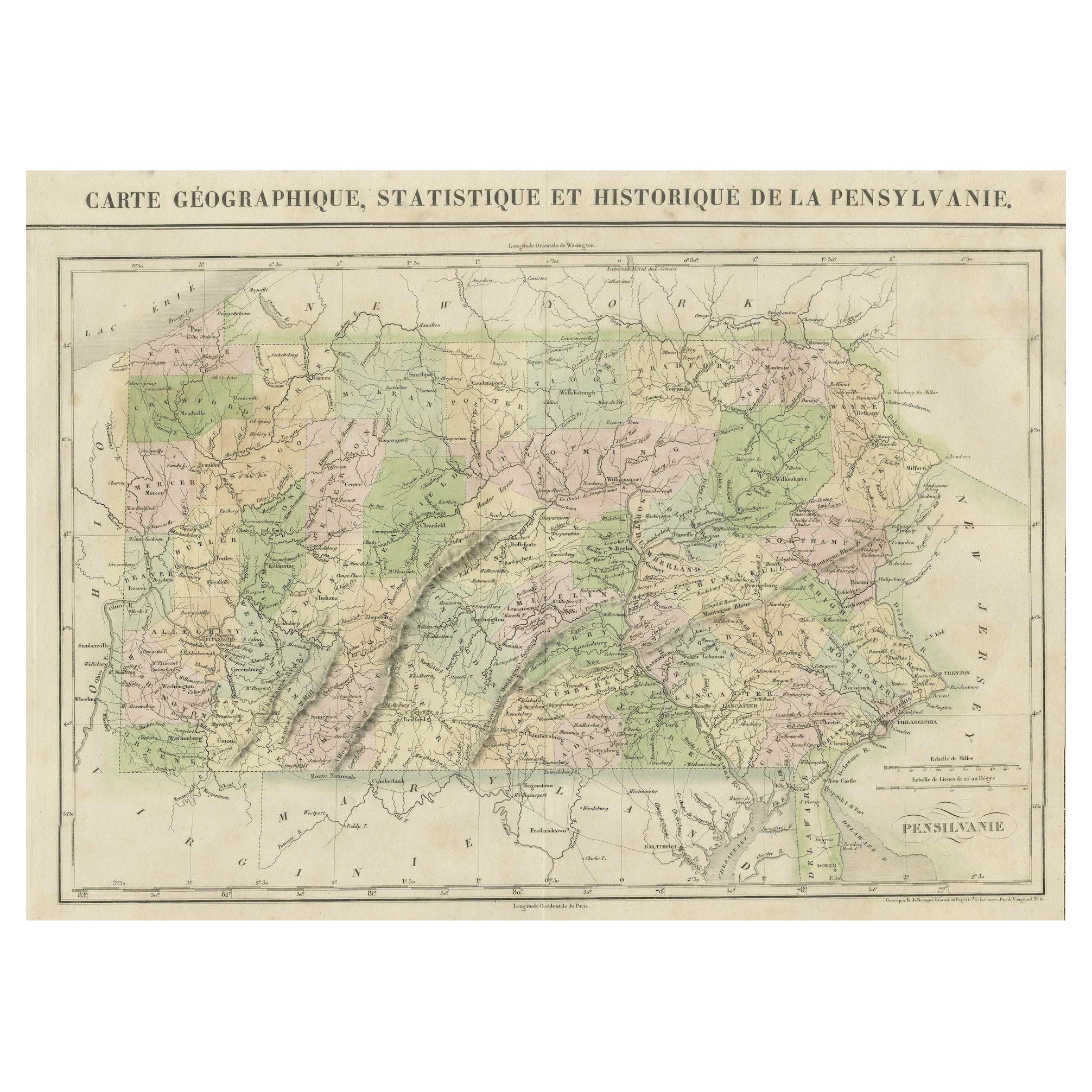
French Geographical, Statistical and Historical Map of Pensylvania, 1825
Located in Langweer, NL
Title: Carte geographique, statistique et historique de la Pensylvanie.
Beautiful Hand-Colored 1825 French Map of Pennsylvania, with a List of Prominent Rivers, Descriptions of Mountains, Climate and Government as well as a list of Colonial and post-American Revolution Governors
Produced by: J. Carez in Paris. (1825)
Hand colored engraved map. Relief shown by hachures. Text and tables at sides and bottom. Prime meridians: Washington and Paris.
A very interesting 1825 French hand-colored map of Pennsylvania from Lucas' 1822 map, which breaks down county populations by Whites and Free Blacks. "Carte Geographique, Statistique et Historique de la Pensylvanie" Originally published in 1822 by Carey and Lea and then revised and republished in 1825 by J. A. C. Buchon (1791-1846 ) in a French edition entitled Atlas Geographique des Deux Ameriques, printed by J. Carez. Fielding Lucas, Jr. (1781-1854), a Baltimore mapmaker and publisher, drew the map. original hand-coloring.
Shown on the map are parts of Maryland, Delaware, New York and New jersey. Printed on the same page as the map is geographical, statistical, and historical information about Pennsylvania, such as descriptions of the state's important rivers, a list of Governors since its founding as well as important French and Indian...
Category
Antique 1820s Maps
Materials
Paper
$457 Sale Price
20% Off
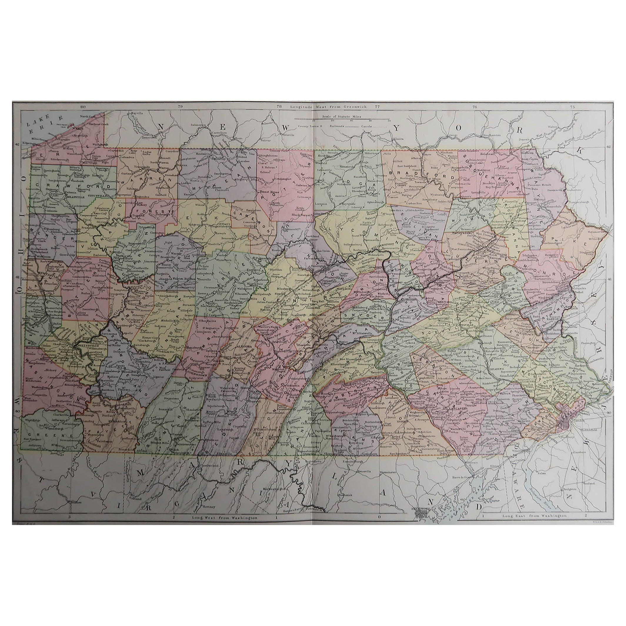
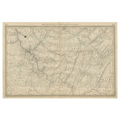
Pennsylvania 1888 Antique Map – The Keystone State, Southeastern Railroads
Located in Langweer, NL
Antique Map of Southeastern Pennsylvania – Rand McNally, circa 1888
This antique map of southeastern Pennsylvania was published by Rand, McNally & Co. around 1888, taken from one of...
Category
Antique Late 19th Century American Maps
Materials
Paper
Historic 1864 Civil War Map of Pennsylvania and New Jersey with Coastal Focus
Located in Langweer, NL
Title: Historic 1864 Civil War Map of Pennsylvania and New Jersey with Coastal Focus
Description: This meticulously crafted antique map, titled "Johnson's Pennsylvania and New Jerse...
Category
Antique 1860s Maps
Materials
Paper
Southwestern Pennsylvania Antique Map c.1888 – Keystone State Counties & Cities
Located in Langweer, NL
Antique Map of Southwestern Pennsylvania – Rand McNally, circa 1888
This antique map of southwestern Pennsylvania was published by Rand, McNally & Co. around 1888. It comes from the...
Category
Antique Late 19th Century American Maps
Materials
Paper
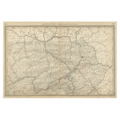
Northeastern Pennsylvania Antique Map c.1888 – Keystone State Cities & Counties
Located in Langweer, NL
Antique Map of Northeastern Pennsylvania – Rand McNally, circa 1888
This antique map of northeastern Pennsylvania was published by Rand, McNally & Co. around 1888. Taken from one of...
Category
Antique Late 19th Century American Maps
Materials
Paper
You May Also Like
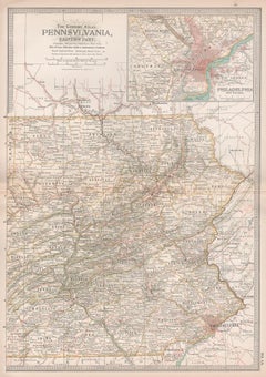
Original Antique Map of the American State of Pennsylvania( Eastern Part ), 1903
Located in St Annes, Lancashire
Antique map of Pennsylvania ( Eastern part )
Published By A & C Black. 1903
Original colour
Good condition
Unframed.
Free shipping
Category
Antique Early 1900s English Maps
Materials
Paper

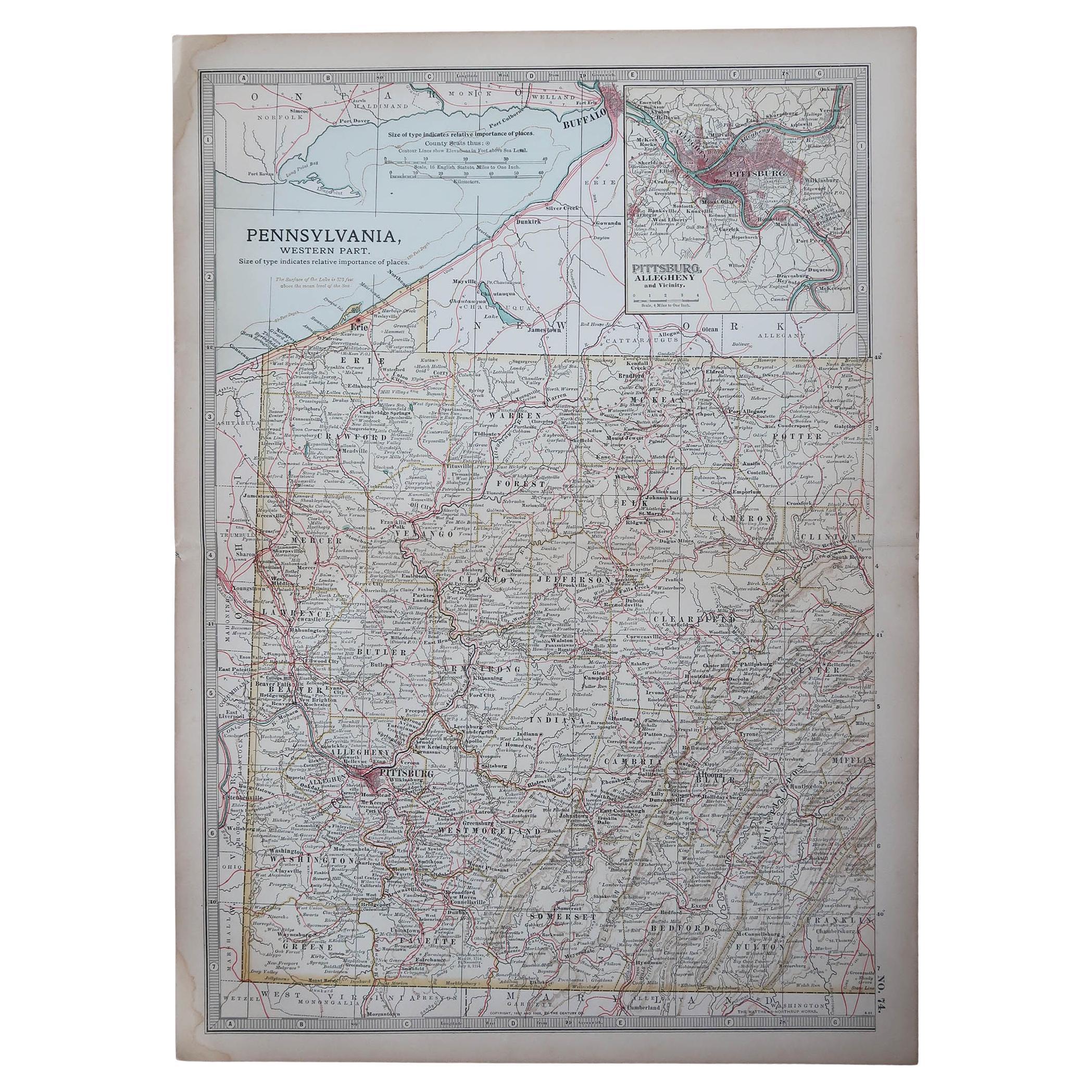
Original Antique Map of the American State of Pennsylvania( Western Part ), 1903
Located in St Annes, Lancashire
Antique map of Pennsylvania ( Western part )
Published By A & C Black. 1903
Original colour
Good condition
Unframed.
Free shipping
Category
Antique Early 1900s English Maps
Materials
Paper

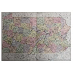
Original Antique Map of the American State of Pennsylvania, 1889
Located in St Annes, Lancashire
Great map of Pennsylvania
Drawn and Engraved by W. & A.K. Johnston
Published By A & C Black, Edinburgh.
Original colour
Unframed.
Repair to a minor tear on bottom edge.
Category
Antique 1880s Scottish Victorian Maps
Materials
Paper
Large Original Antique Map of Pennsylvania, USA, 1894
By Rand McNally & Co.
Located in St Annes, Lancashire
Fabulous map of Pennsylvania
Original color.
By Rand, McNally & Co.
Published, 1894.
Unframed.
Free shipping.
Category
Antique 1890s American Maps
Materials
Paper
Antique 18th Century Map of the Province of Pensilvania 'Pennsylvania State'
Located in Philadelphia, PA
A fine antique of the colony of Pennsylvania.
Noted at the top of the sheet as a 'Map of the province of Pensilvania'.
This undated and anonymous map is thought to be from the Gentleman's Magazine, London, circa 1775, although the general appearance could date it to the 1760's.
The southern boundary reflects the Mason-Dixon survey (1768), the western boundary is placed just west of Pittsburgh, and the northern boundary is not marked.
The map has a number of reference points that likely refer to companion text and appear to be connected to boundaries. The western and southern boundaries are marked Q, R, S, for example. A diagonal line runs from the Susquehanna R to the Lake Erie P. A broken line marked by many letters A, B, N, O, etc., appears in the east.
There are no latitude or longitude markings, blank verso.
Framed in a shaped contemporary gilt wooden frame and matted under a cream colored matte.
Bearing an old Graham Arader Gallery...
Category
Antique 18th Century British American Colonial Maps
Materials
Paper

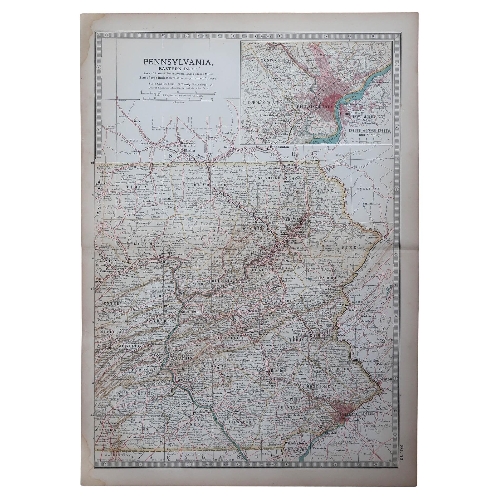
Pennsylvania, Eastern Part. USA. Century Atlas state antique vintage map
Located in Melbourne, Victoria
'The Century Atlas. Pennsylvania, Eastern Part.'
Original antique map, 1903.
Central fold as issued. Map name and number printed on the reverse corners.
Sheet 40cm by 29.5cm.
Category
Early 20th Century Victorian More Prints
Materials
Lithograph
More Ways To Browse
Pennsylvania Antiques
Antique Pennsylvania Furniture
Map Of Middle East
17th Century American Furniture
Afghanistan Map
Antique Celestial Maps
Antique Maps Virginia
Hand Drawn Map
Map Of Israel
Map Of Poland
Sicily Map
Used Durham Furniture
Antique Maps Of Israel
Antique Maps Of Russian Empire
J C Walker Map
Massachusetts Antiques
Persian Maps
Afghanistan Antique Map