Late 19th Century Maps
to
287
398
15
413
10
1
2,926
2,181
476
3
289
34
10
127
7
35
9
2
5
3
4
2
409
5
4
4
3
55
52
37
25
14
413
413
413
24
6
1
1
1
Period: Late 19th Century
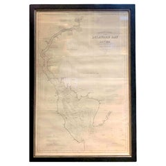
1889 Sea Chart Map of Delaware Bay by George Eldridge, Chart No. 11
Located in Colorado Springs, CO
Presented is an original Eldridge's Chart No. 11, Delaware Bay and River, from The United States Coast and George Eldridge's Surveys, published in 1889. The sea chart shows the Delaw...
Category
Antique Late 19th Century Maps
Materials
Paper
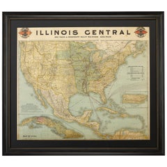
1899 Poole Brothers Antique Railroad Map of the Illinois Central Railroad
Located in Colorado Springs, CO
This is an 1899 railroad map of the Illinois Central and Yazoo and Mississippi Valley Railroads, published by the Poole Brothers. The map focuses on the continuous United States from the Atlantic to the Pacific Oceans, the Gulf of Mexico, and the Antilles. Remarkably detailed, the rail routes of the Illinois Central RR are marked in red, which each stop labeled. Major stops are overprinted in red, bold letters, with the short rail distances to New York listed above the stop and short rail distances to New Orleans listed below the name.
In addition to the Illinois Central network, numerous different rail lines are illustrated and the company running that line is noted along with many stops along each route. Sea routes from New Orleans to locations in Central America, the Caribbean, and Europe are marked and labeled with destination and distance, along with routes originating from Havana. Inset at bottom left is a map of Cuba; an inset map of Puerto Rico...
Category
American Antique Late 19th Century Maps
Materials
Paper
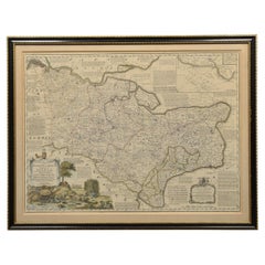
Map of Essex by Emanuel Bowen
Located in Cheshire, GB
Map of part of Essex and part of Kent, hand-coloured. Encased in an ebonized and gilded frame.
Dimensions
Height 25.5 Inches
Length 32.5 Inches
width 1 Inches.
Category
British Antique Late 19th Century Maps
Materials
Paper
Antique Map of Principality of Monaco
Located in Alessandria, Piemonte
ST/619 - "Old Geographical Atlas of Italy - Topographic map of ex-Principality of Monaco" -
ediz Vallardi - Milano -
A somewhat special edition ---
Category
Italian Other Antique Late 19th Century Maps
Materials
Paper
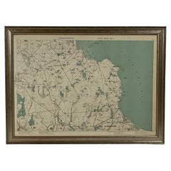
1891 Map of Plymouth County Mass
Located in Norwell, MA
Original 1891 map showing Sandwich, Bourne, Plymouth Carver, Middleborough, Plympton and Kingston. Showing Long Beach in Plymouth also as well as all shore points. Cape Cod Bay is ma...
Category
North American Antique Late 19th Century Maps
Materials
Paper
Wychmere Harbor Allens Harbor Map Circa 1890
Located in Norwell, MA
Map of Harwich Mass showing Wychmere Harbor, Doane's Creek, Allens Harbor, Herring River, Pleasant Lake, Grassy Pond, Paddocks Pond, Hinkleys Pond, etc., This is an original period m...
Category
North American Antique Late 19th Century Maps
Materials
Paper
Globe Table Terrestrial Swedish
Located in BUNGAY, SUFFOLK
A Swedish 12 inch terrestrial globe, circa 1900. Measure: height 59cm
Just purchased more information to follow.
Category
Swedish Baroque Revival Antique Late 19th Century Maps
Materials
Paper
