Items Similar to The Principality of Dombes: A 17th-Century Cartographic Jewel by Jan Jansson

Want more images or videos?
Request additional images or videos from the seller
1 of 7
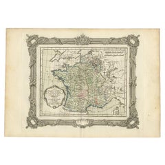
The Principality of Dombes: A 17th-Century Cartographic Jewel by Jan Jansson
About the Item
The text on the map "La principaute de Dombes; J. van den Eynde sculpit.; La Principavte de Dombes" indicates that it is a map of the principality of Dombes, engraved by J. van den Eynde (which is a Latinized name, standing for Jan van den Ende, a known engraver of the time). The map was published by Johannes Jansonius, more commonly known as Jan Jansson or Johann Jansson in Amsterdam. Jan Jansson was a famous Dutch cartographer and publisher active in the 17th century.
This original antique map has old hand-coloring on printed on strong hand pressed paper.
The Dombes region is located in what is now the eastern part of France, within the larger Auvergne-Rhône-Alpes administrative region. It is situated northeast of Lyon and is known historically for its unique form of government as a principality. Today, the area is recognized for its natural beauty, including the Dombes plateau, which is famous for its thousand ponds that have a significant ecological importance for birdlife, making it a popular spot for birdwatching.
Given that Jan Jansson lived from 1588 to 1664, the map would have been published sometime within his active years. Jansson's maps are often dated to the first half of the 17th century.
This region is also known for its historical significance. The Dombes had its own parliament and monetary system, and it was a sovereign principality until it was ceded to France in 1762.
- Dimensions:Height: 19.18 in (48.7 cm)Width: 22.05 in (56 cm)Depth: 0 in (0.02 mm)
- Materials and Techniques:Paper,Engraved
- Period:1630-1639
- Date of Manufacture:1636
- Condition:Condition: Good, given age, general age-related toning to the sheet edges, some small spots. Folding line as issued and some light offset. Dutch text on the reverse. Please study scan carefully.
- Seller Location:Langweer, NL
- Reference Number:
About the Seller
5.0
Platinum Seller
These expertly vetted sellers are 1stDibs' most experienced sellers and are rated highest by our customers.
Established in 2009
1stDibs seller since 2017
1,919 sales on 1stDibs
Typical response time: <1 hour
- ShippingRetrieving quote...Ships From: Langweer, Netherlands
- Return PolicyA return for this item may be initiated within 14 days of delivery.
More From This SellerView All
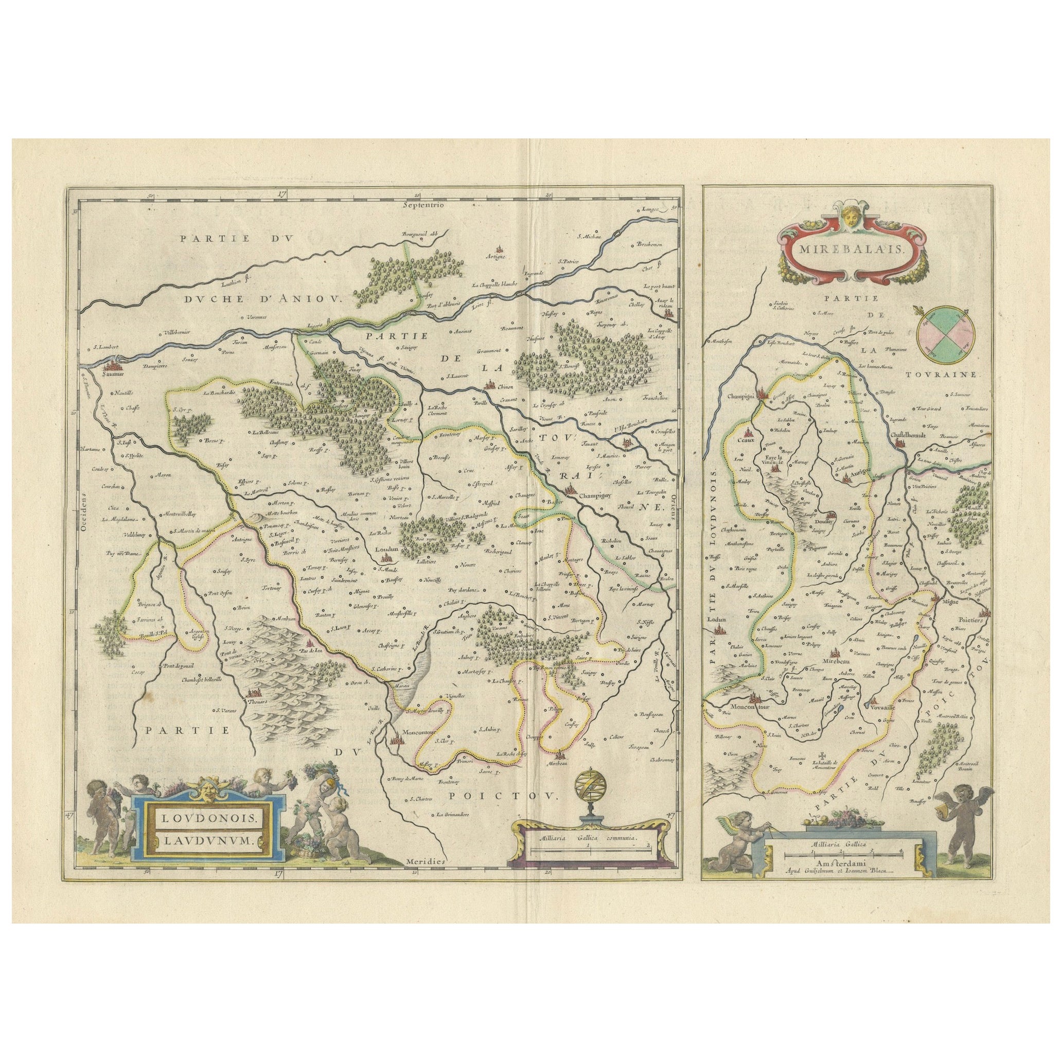
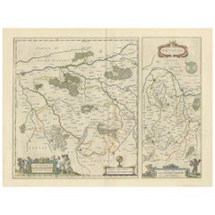
- Loudun and Mirebeau: A Cartographic Masterpiece of 17th Century France by BlaeuLocated in Langweer, NLCartography, 17th century. Willem (1571-1638) and Joan Blaeu (1596-1673), Theatrum Orbis Terrarum sive Atlas Novus..., 1635. Figure: Loudonois. Laudunum (Loudun); Mirebalais (Mirebea...Category
Antique 1650s Maps
MaterialsPaper
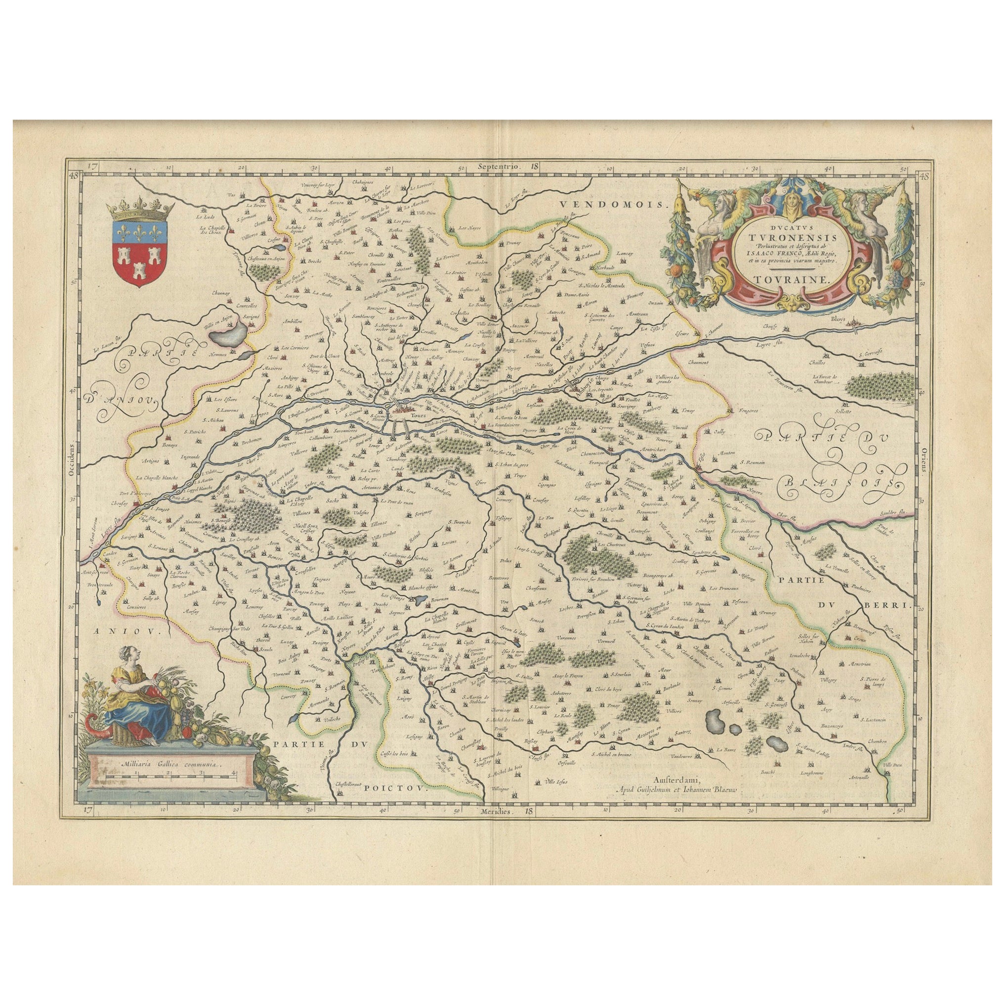
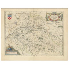
- Cartographic Elegance of Touraine: A 17th-Century Map Showing French HeritageLocated in Langweer, NL"Ducatus Turonensis - Touraine," is a original antique historical map of the Touraine region, which is located in the heart of France, centered...Category
Antique 1630s Maps
MaterialsPaper
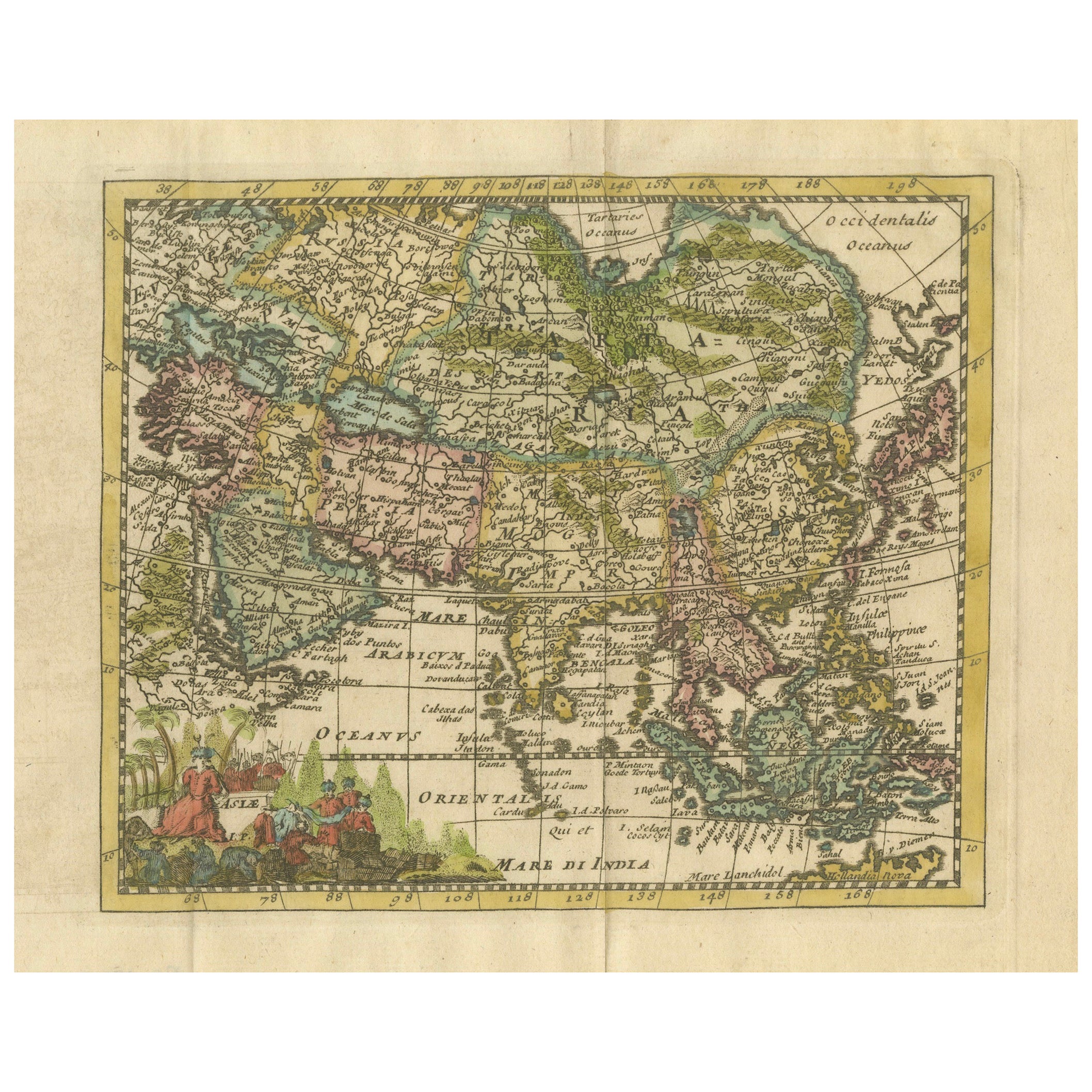
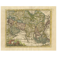
- Cartographic Elegance: The Art and Science of 17th-Century Asian Maps, ca.1681Located in Langweer, NLThis original antique map is an artifact from a pivotal era in cartography, reflecting not only the geographical knowledge of its time but also the intertwining of art and science in...Category
Antique 1680s Maps
MaterialsPaper
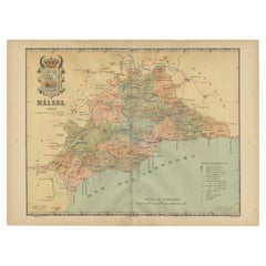
- Málaga 1901: A Cartographic Detailing of Andalusia's Coastal JewelLocated in Langweer, NLThe map depicts the province of Málaga, located in the autonomous community of Andalusia in southern Spain, as it was in 1901. Here are the key features illustrated on the map: - **...Category
Antique Early 1900s Maps
MaterialsPaper
- Antique Map of France at the Beginning of the 17th Century by Zannoni, 1765By G. A. Rizzi-zannoniLocated in Langweer, NLAntique map France titled 'Carte pour servir à intelligence de l'Histoire de France (..)'. Beautiful old map of France. This map originates from 'At...Category
Antique 18th Century Maps
MaterialsPaper
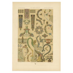
- Antique Print of Decorative Art in the 16th and 17th Century, 1869Located in Langweer, NLOld print of decorative art in the 16th and 17th century. This print originates from 'L'Ornement polychrome'. A beautiful work containing about 2000 patterns of all the styles of Art...Category
Antique 19th Century Prints
MaterialsPaper
You May Also Like
- Vintage Reproduction 17th Century Map of Europe, American, Cartography, BlaeuwLocated in Hele, Devon, GBThis is a vintage reproduction map of Europe. An American, paper stock cartography print in frame after the work by Blaeuw, dating to the late 20t...Category
Late 20th Century Central American Mid-Century Modern Maps
MaterialsGlass, Wood, Paper
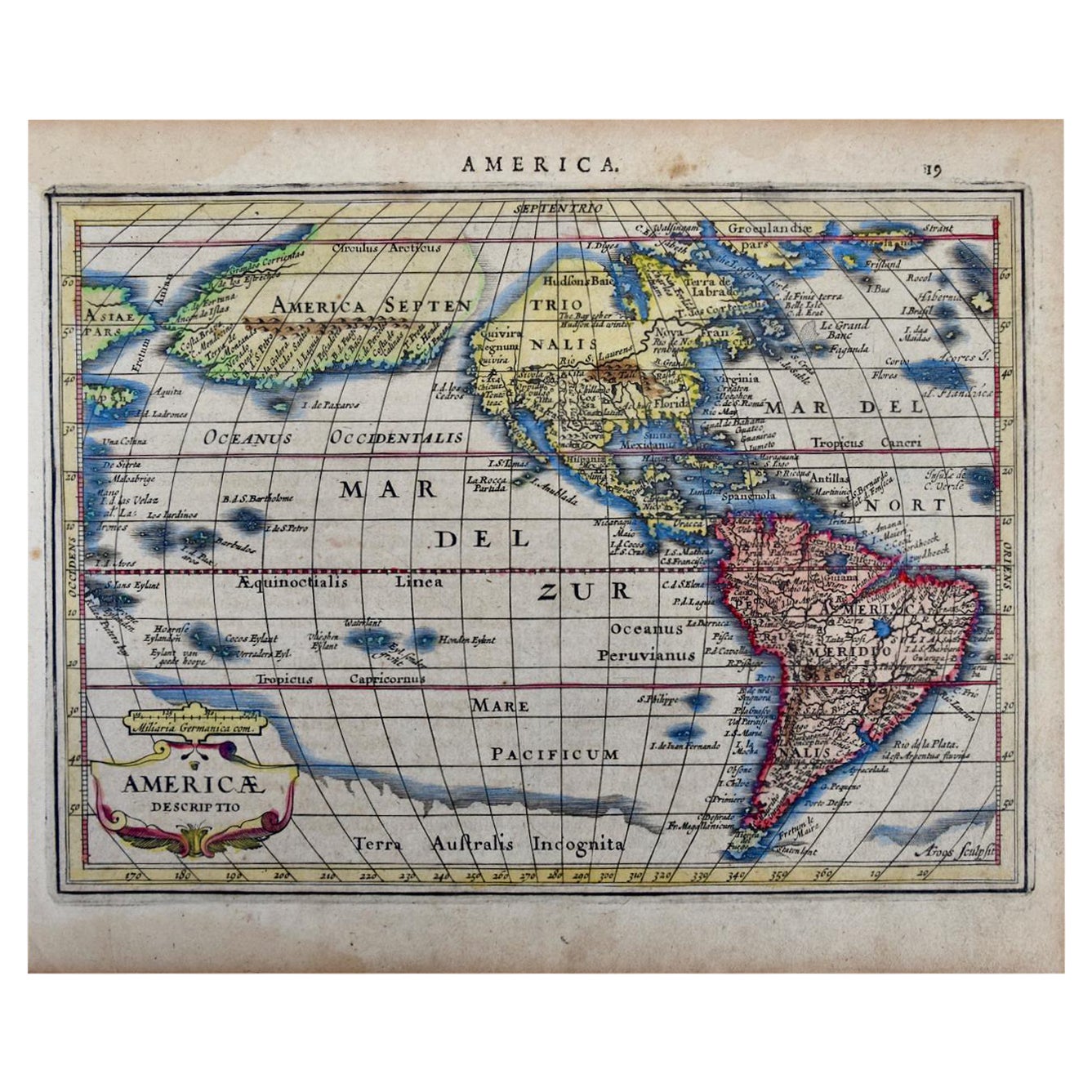
- North & South America: A 17th Century Hand-colored Map by Jansson & GoosBy Johannes JanssoniusLocated in Alamo, CAA 17th century hand-colored map of North & South America entitled "Americae Descriptio" by the cartographer Johannes Jansson, published in Jansson's Atlas Minor in Amsterdam in 1628....Category
Antique 1620s Dutch Maps
MaterialsPaper
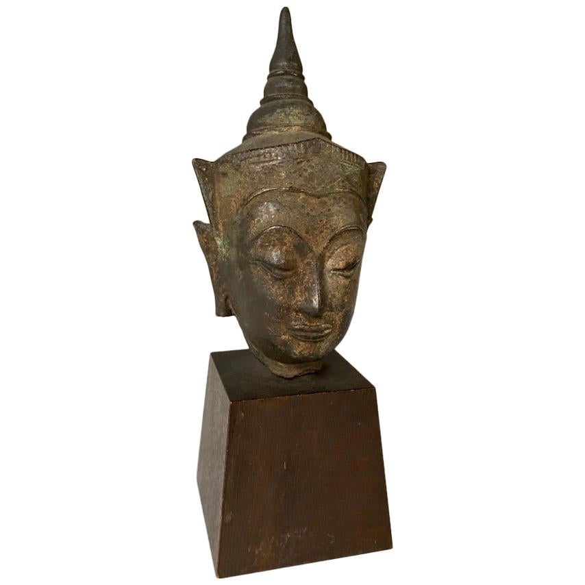
- 17th Century Thai Bronze Bust Of The BuddhaLocated in Stamford, CTA Thai bronze head of the Buddha. Sukothai period, late 16th-early 17th century. His face with serene expression, arched eyebrows above incised eyes a...Category
Antique Early 17th Century Thai Other Figurative Sculptures
MaterialsBronze
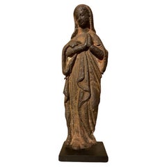
- 17th French Century Iron Figure of The VirginLocated in Stamford, CTWonderful 17th century French Baroque cast iron figure of the Virgin praying. Likely originally part of an outdoor shrine as it has been exposed to the elements. The weathered surfac...Category
Antique Early 17th Century French Baroque Religious Items
MaterialsIron
- Cross of Caravaca 17th CenturyBy Europa AntiquesLocated in Madrid, ESCross of caravaca xvii century Very beautiful cross of Caravaca made in bronze. 17th century. Measurements: 12 x 6cm Good condition.Category
Antique 17th Century Italian Gothic Religious Items
MaterialsBronze
- Cross of Caravaca 17th CenturyBy Europa AntiquesLocated in Madrid, ESCross of caravaca XVII century. Very beautiful cross of caravaca made in bronze. 17th Century. Measurements: 15x6 cm. Good condition.Category
Antique 17th Century Italian Gothic Religious Items
MaterialsBronze


Recently Viewed
View AllMore Ways To Browse
1859 Asia Map
Antique Map Antilles
Antique Alabama Map
Antique Furniture Oklahoma City
J Beringer
Old Sicily Map
Antique Map Of Tuscany
Map Of Washington Dc
Washington Dc Map
Aigue Marine
Furniture Sellers In Israel
Inland Empire
Map Of Native American Tribes
Montana Maps
Op Ocean Pacific
1847 Rio
A Plan City And Castle Of Batavia
Carl Probst