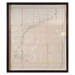
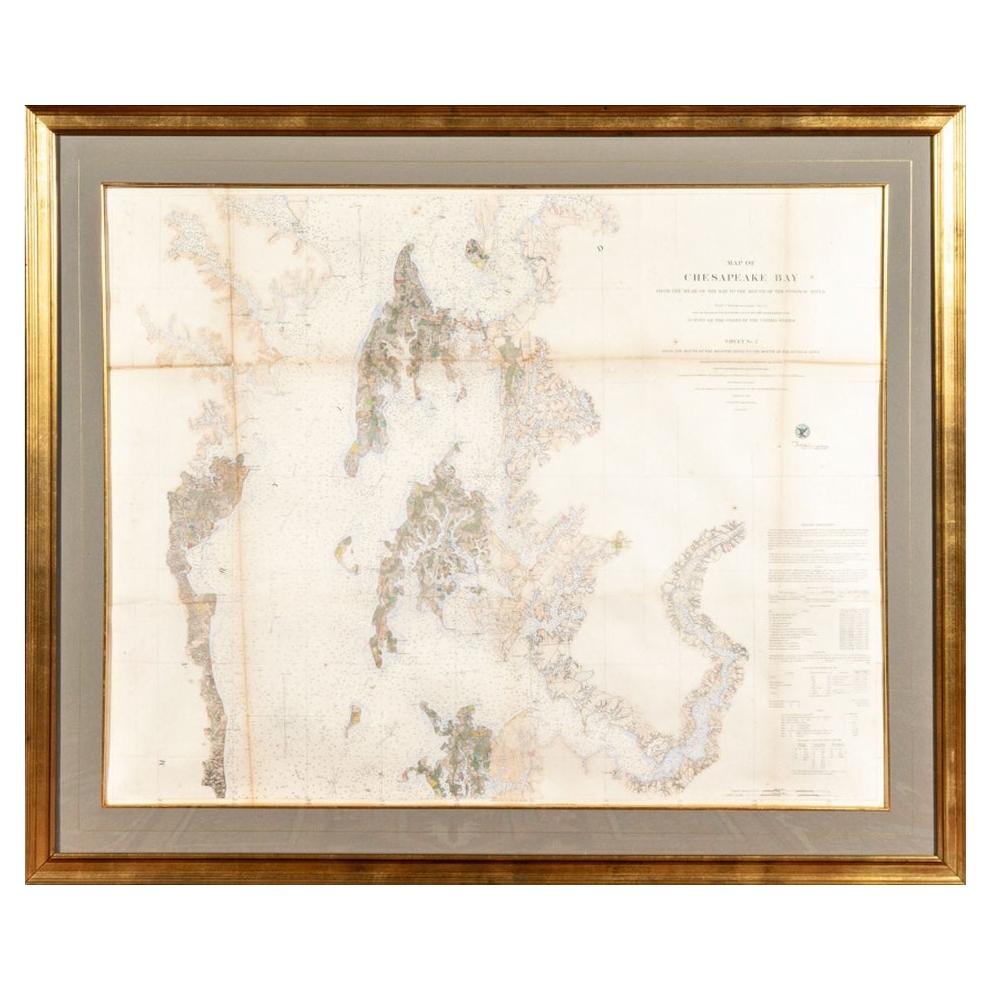
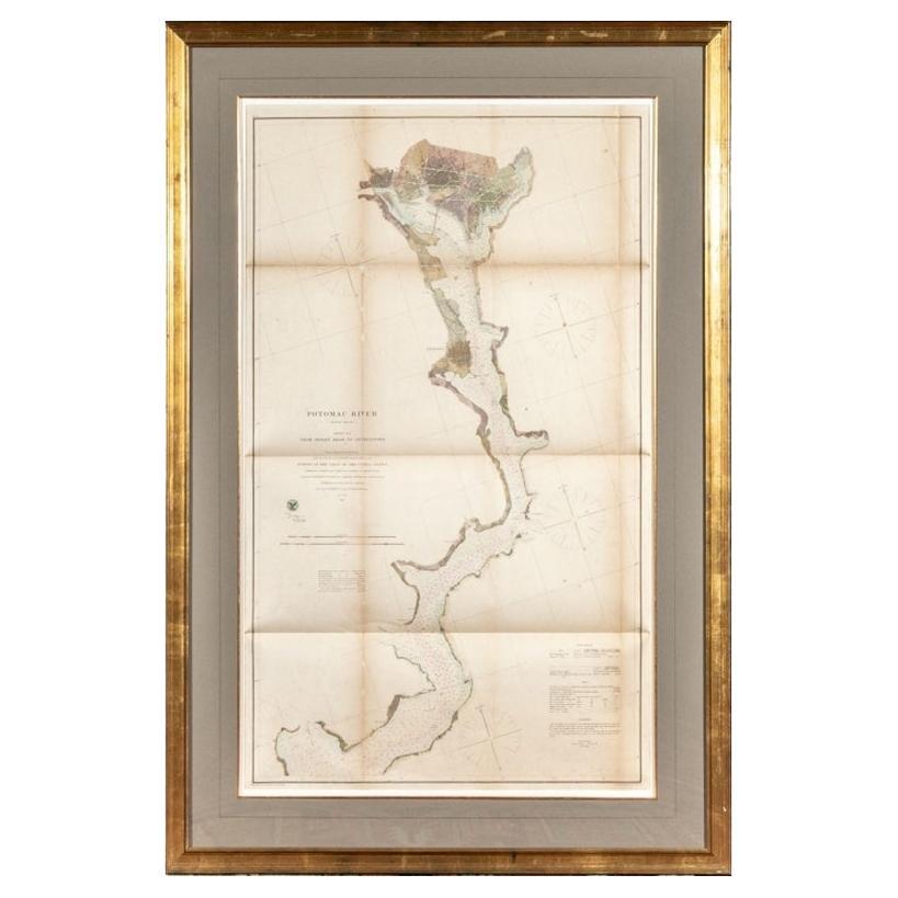
US Coast Survey Map
View Similar Items

1 of 2
US Coast Survey Map
About the Item
- Dimensions:Height: 38.5 in (97.79 cm)Width: 34 in (86.36 cm)
- Materials and Techniques:
- Place of Origin:
- Period:
- Date of Manufacture:20th Century
- Condition:
- Seller Location:West Hollywood, CA
- Reference Number:Seller: NTAI3371stDibs: LU85691056280
You May Also Like
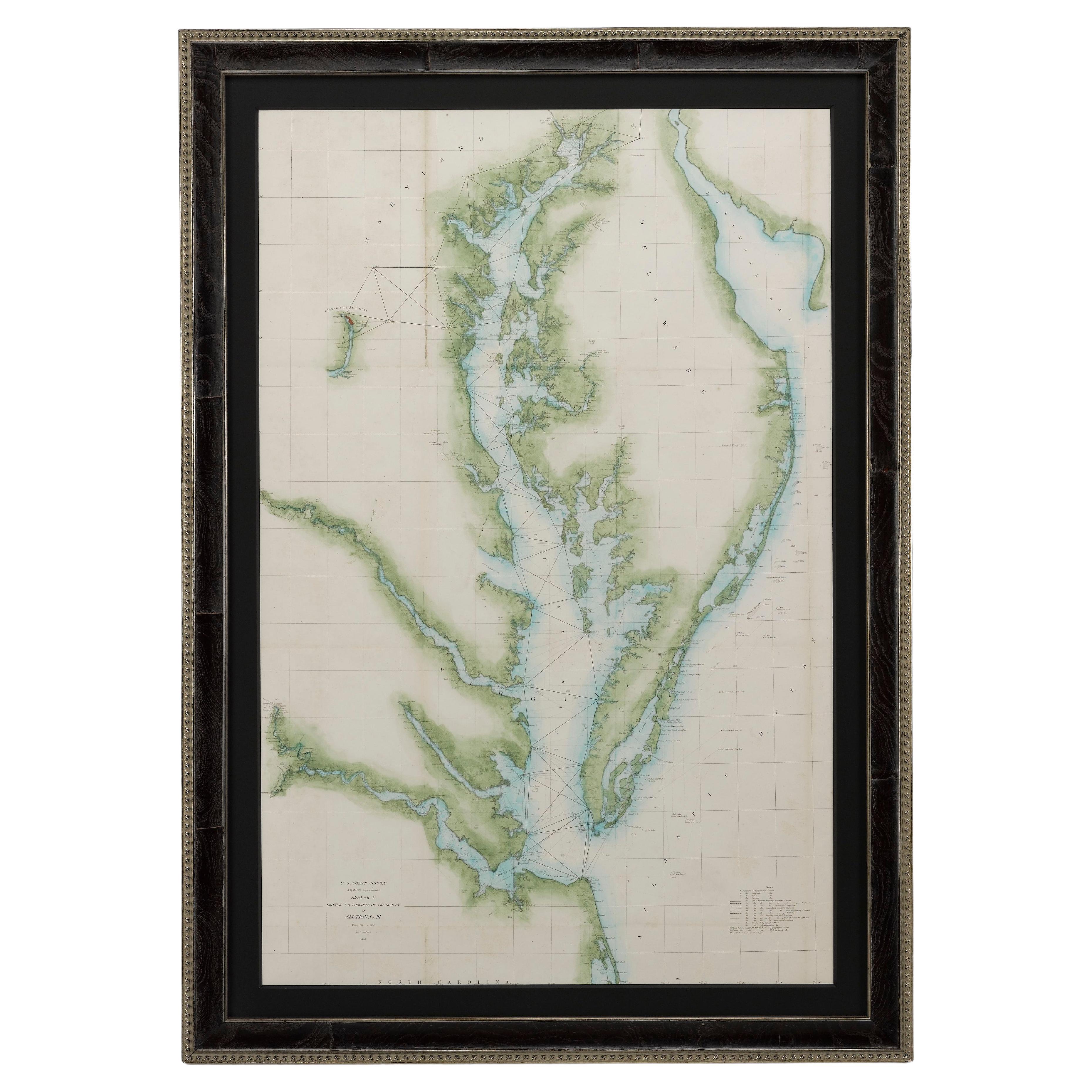
- 1856 U.S. Coast Survey Map of Chesapeake Bay and Delaware BayLocated in Colorado Springs, COPresented is U.S. Coast Survey nautical chart or maritime map of Chesapeake Bay and Delaware Bay from 1856. The map depicts the region from Susquehanna, Maryland to the northern Oute...Category
Antique 1850s American Maps
MaterialsPaper
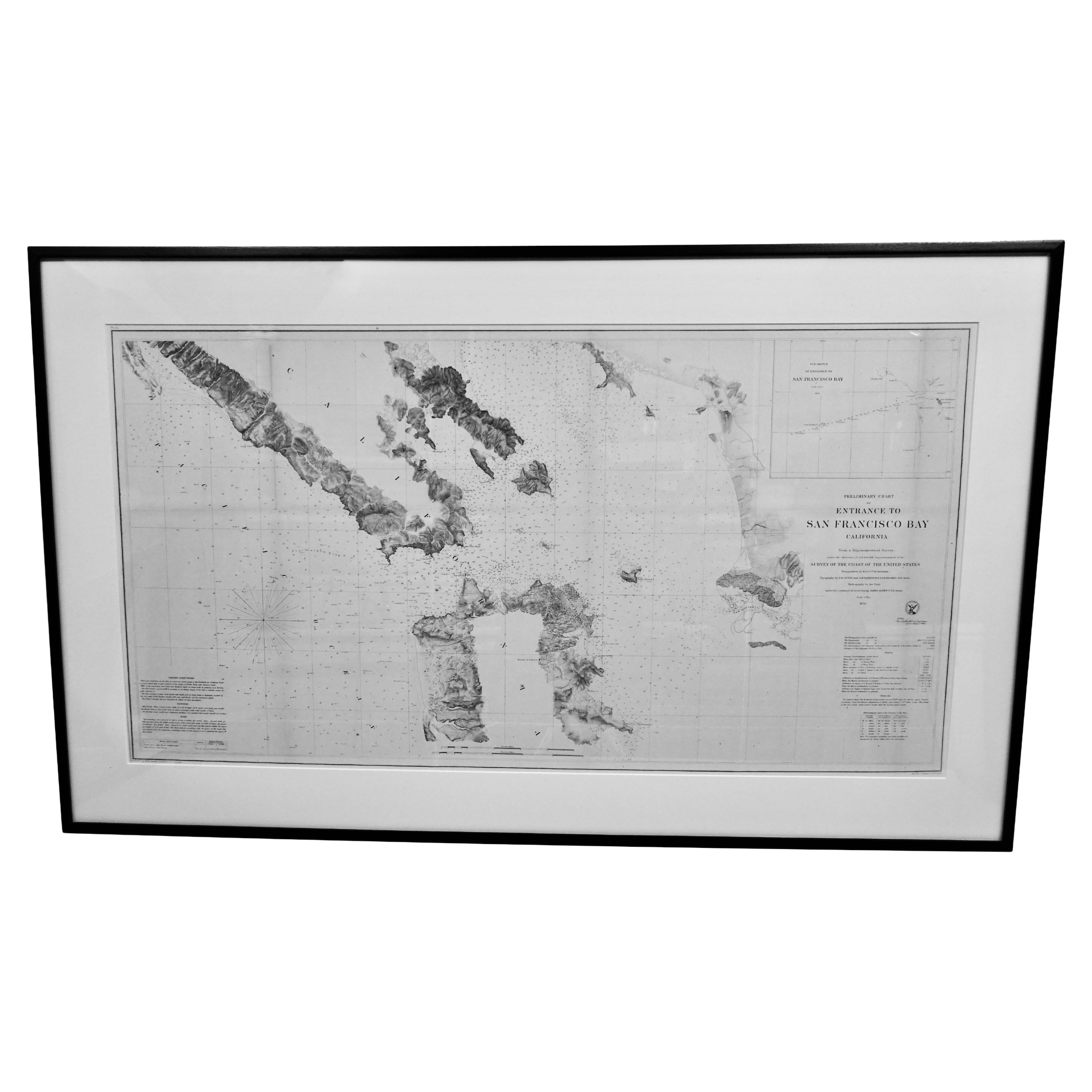
- Scarce U.S. Coast Survey Map Depicting Entrance to San Francisco Bay Dated 1856Located in San Francisco, CAA fine example of the 1856 U.S. Coast lithographic survey nautical chart of the entrance to San Francisco bay and the city. Published in 1856 by the Office of the Coast Survey the of...Category
Antique Mid-19th Century American Maps
MaterialsPaper
 $1,036 Sale Price30% Off
 - Large Custom Framed 1857 U.S. Coast Survey of the Chesapeake BayLocated in Bridgeport, CTAn antique 1850's nautical map with hand-painted color accents entitled “Chesapeake Bay; Sheet no. 2: Head of the Bay to the Mouth of the Potomac River”....Category
Antique 1850s American American Classical Maps
MaterialsPaper
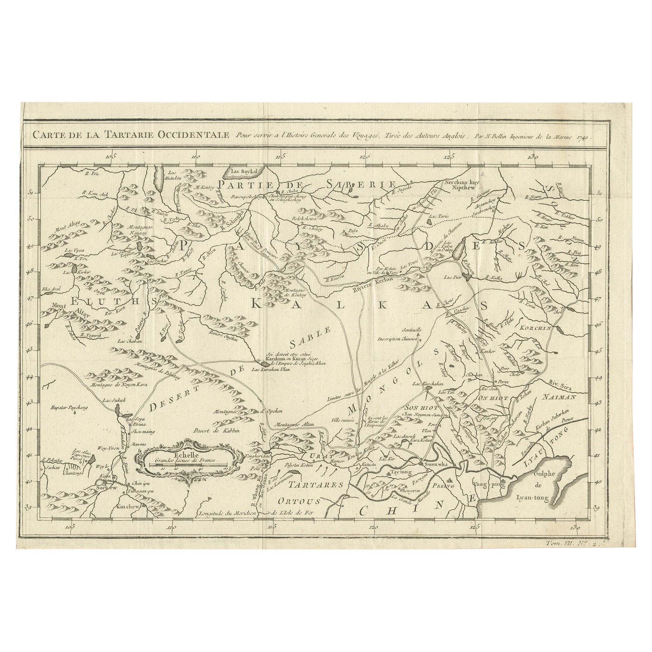
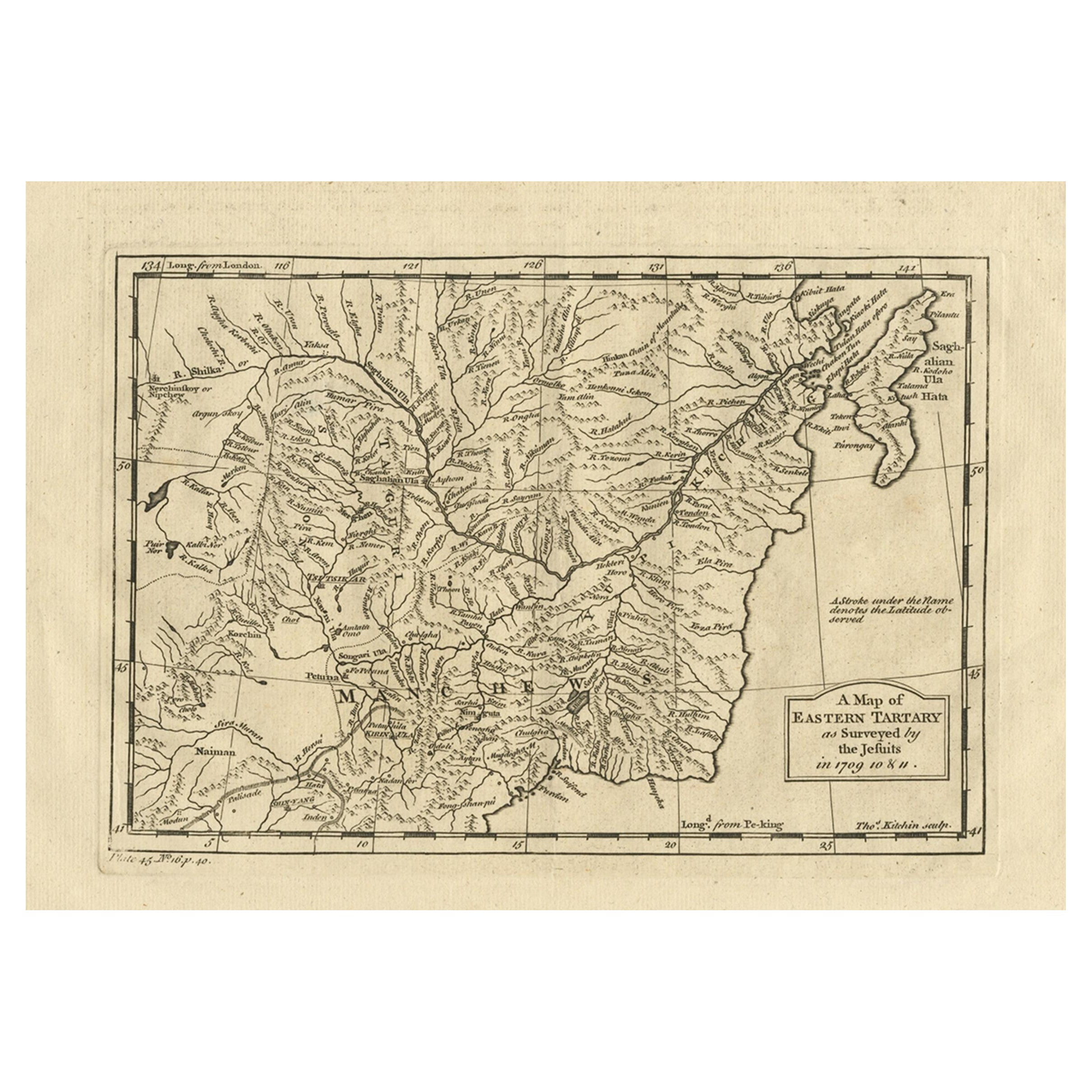
- Antique Map of Western Tartary, with Information from Kyrkov's SurveysLocated in Langweer, NLAntique map titled 'Carte de la Tartarie Occidentale'. This map covers western Tartary with a focus on the region of present-day Mongolia. This map includes information from Kyrkov's...Category
Antique Mid-18th Century Maps
MaterialsPaper
 $272 Sale Price20% Off
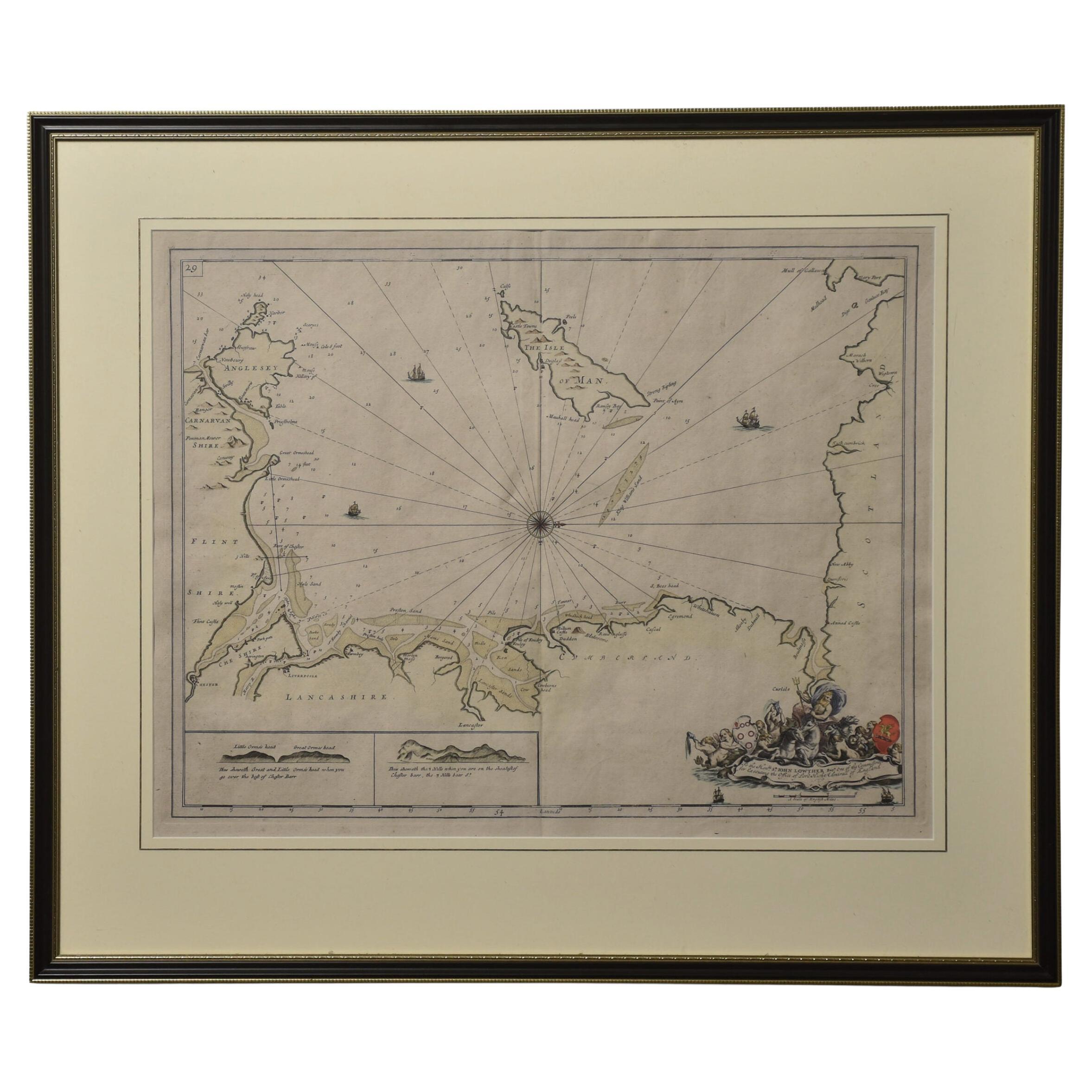
 - Northwest Coast and Isle of Man MapLocated in Cheshire, GBGreenville Collins Northwest Coast and Isle of Man. hand coloured chart, encased in an ebonised frame. Dimensions Height 26.5 Inches Width 30 Inches Depth 1 InchesCategory
Early 20th Century British Maps
MaterialsPaper
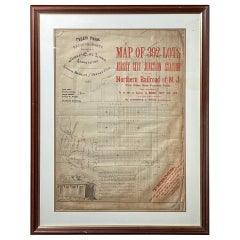
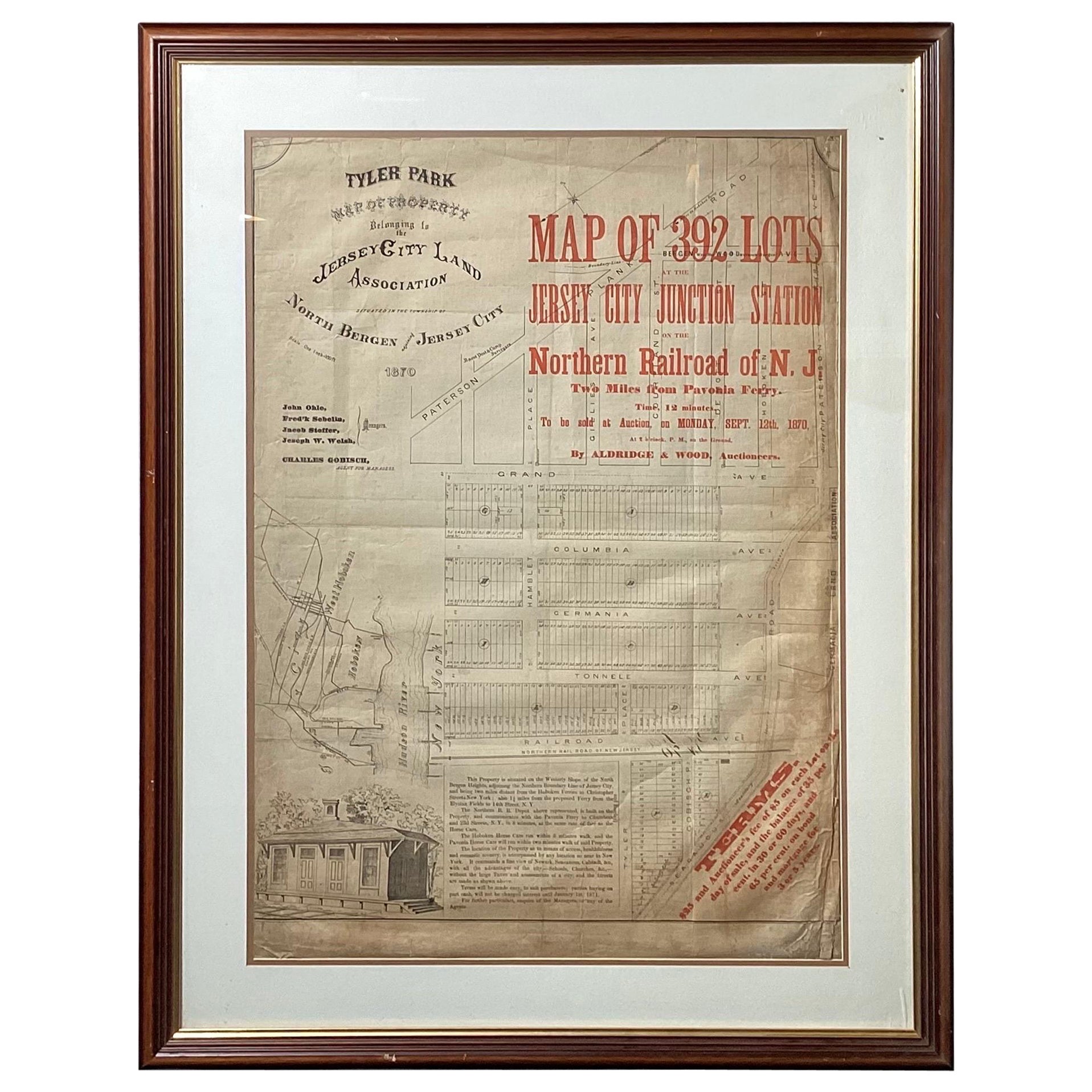
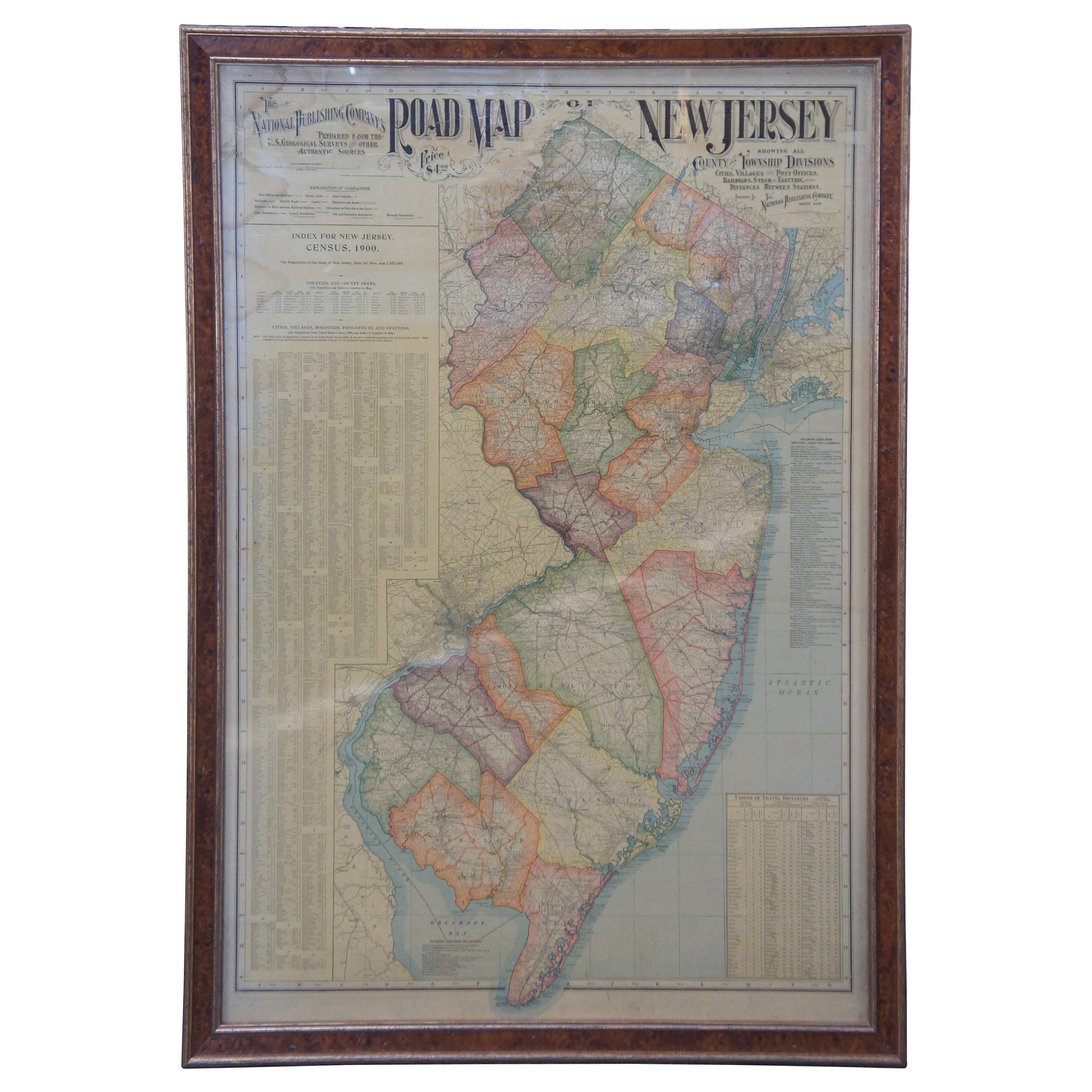
- Framed Original Land Map Survey of Tyler Park, Jersey City RailroadLocated in Lambertville, NJA framed and matted historical map of Tyler park jersey city New Jersey Railroad. The paper on canvas in later appropriate frame. Good condition with some creasing and age discolorat...Category
Antique 1870s American Posters
MaterialsCanvas, Glass, Wood