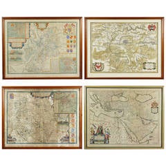
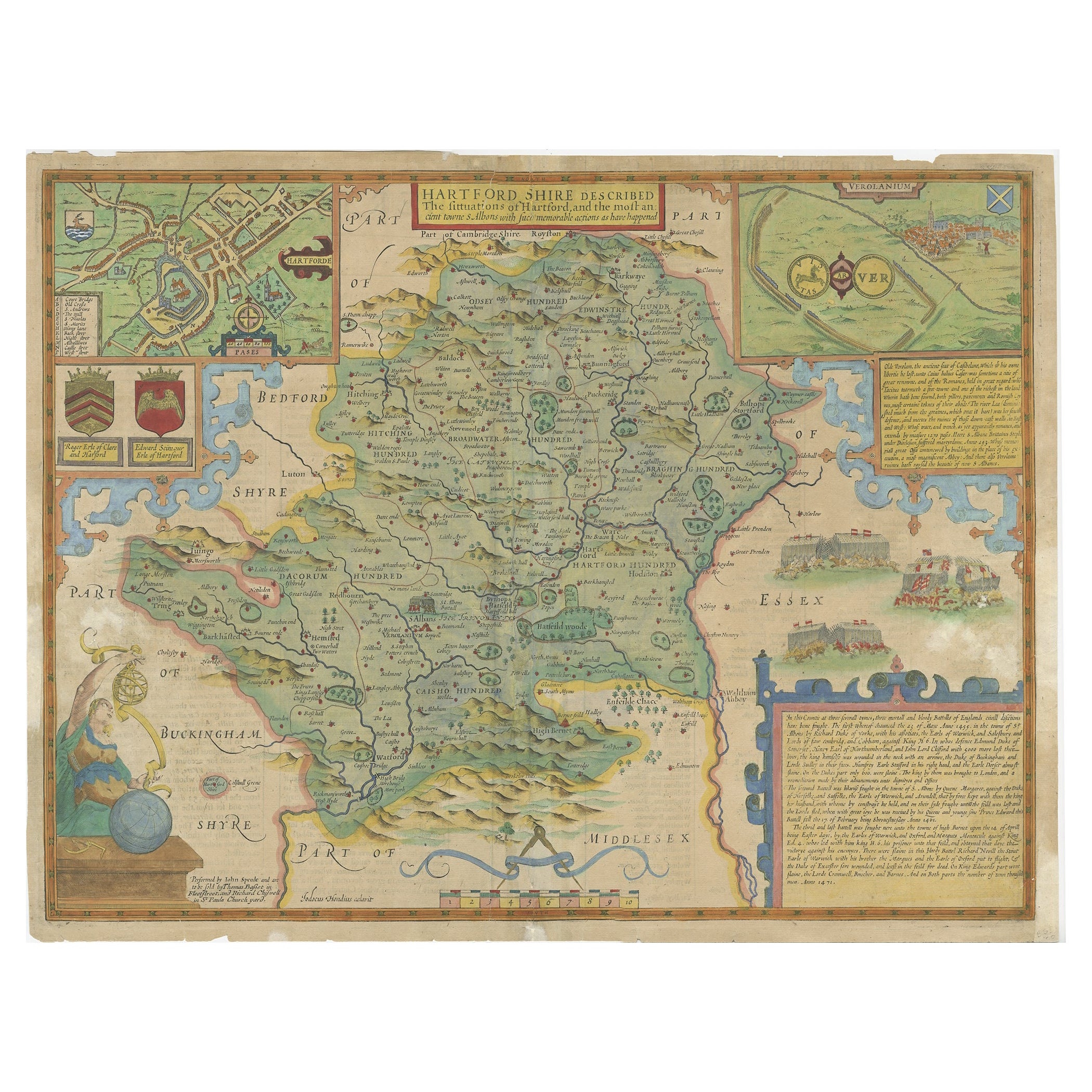
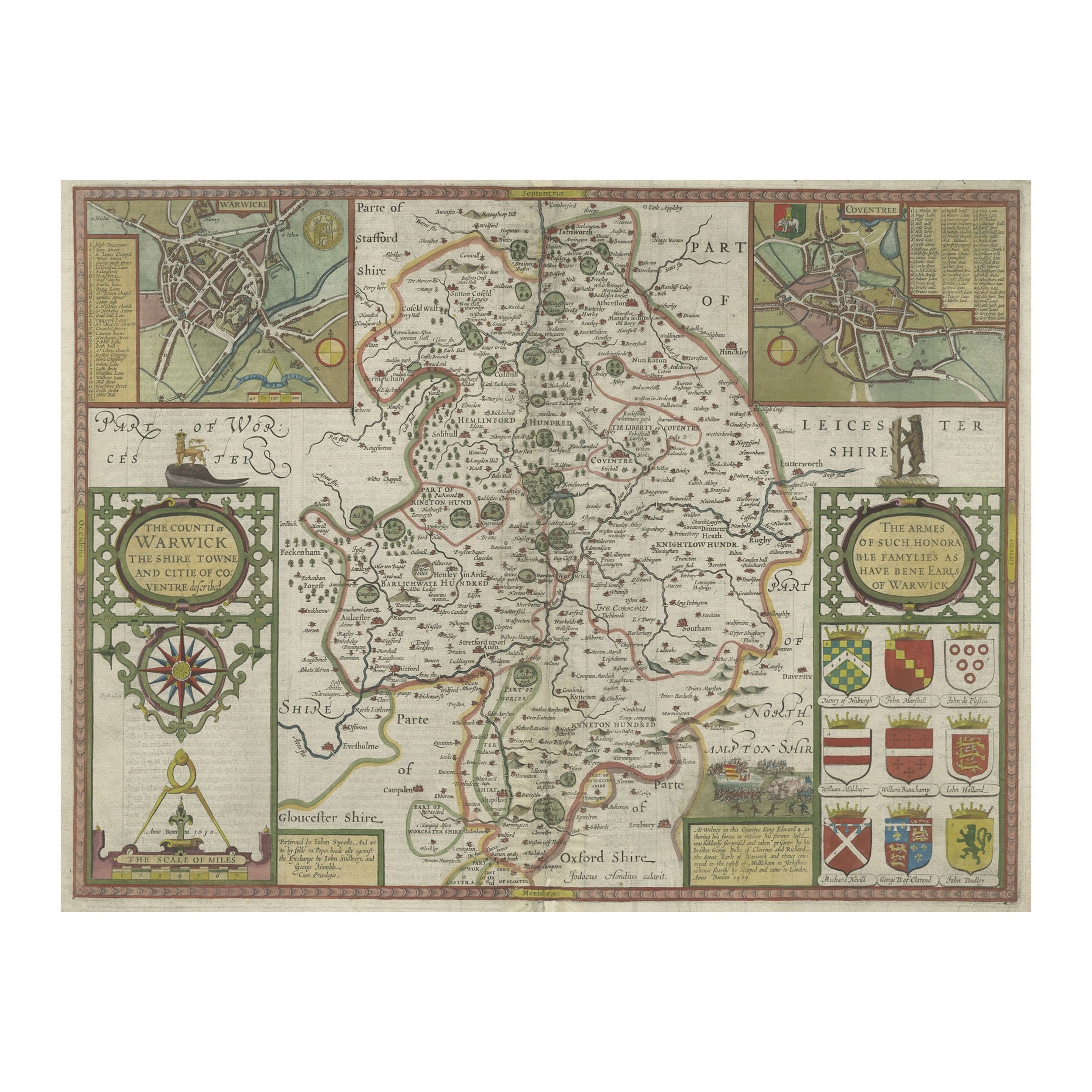
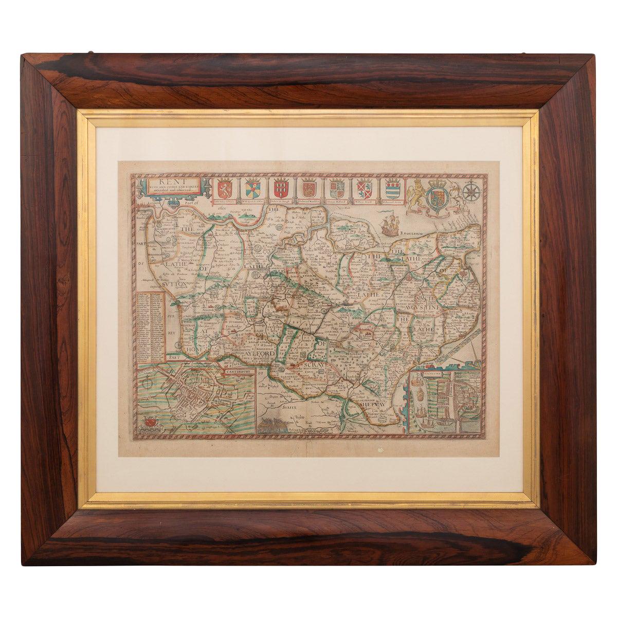
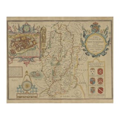
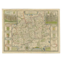
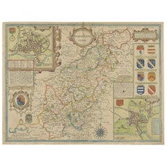
Collection of 12 Early Framed Maps Mostly by John Speed
View Similar Items

Want more images or videos?
Request additional images or videos from the seller
1 of 11
Collection of 12 Early Framed Maps Mostly by John Speed
About the Item
- Dimensions:Height: 16 in (40.64 cm)Width: 22 in (55.88 cm)Depth: 0.25 in (6.35 mm)
- Sold As:Set of 12
- Place of Origin:
- Period:
- Date of Manufacture:1600s
- Condition:Some are good and some are fair . can use a re matting and framing. Foxing etc. Email for detailed condition.
- Seller Location:Essex, MA
- Reference Number:1stDibs: LU83812612862
About the Seller
4.9
Gold Seller
These expertly vetted sellers are highly rated and consistently exceed customer expectations.
Established in 1985
1stDibs seller since 2007
813 sales on 1stDibs
Typical response time: 2 hours
Associations
The Art and Antique Dealers League of America
More From This SellerView All
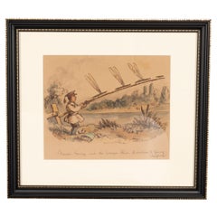
- Framed Watercolor By Illustrator John LeechLocated in Essex, MAA famous illustrator and caricaturist best known for his illustrations for Punch magazine. He died at age 47 in 1864. Titled " Master George and The Dragon Flies". "A Caution to Youn...Category
Antique 1850s English Books
MaterialsGlass, Paper
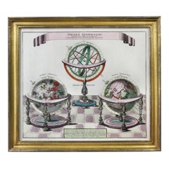
- Framed Engraving By Matthaus Seutter Of Sphaerae ArtificialesLocated in Essex, MACartographer from Germany 1678-1757. Hand colored. Gilt wood frame. Estate of William Hodgins.Category
Antique Early 1700s German Prints
MaterialsPaper
- Pair of Road Maps of England by John OgilbyLocated in Essex, MAThe first road maps of England. London to Holyhead and London to Carlisle. Nicely framed and matted. These are plates removed from a book. These are fir...Category
Antique 1690s English Prints
MaterialsPaper
 $1,850 / set
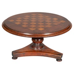
 - Early Victorian Mahogany Candle Riser In The Form Of A Games TableLocated in Essex, MAWith tilt top with checkerboard inlay on a turned support and tripartite base and bun feet.Category
Antique 1830s English Early Victorian Models and Miniatures
MaterialsMahogany, Maple, Rosewood
- Set of Twelve Colored Engravings of the Defeat of the Spanish Armada by J. PineLocated in Essex, MABy John Pine considered the foremost heraldic and decorative engraver of his generation. Depicting the defeat of the Spanish by the English Fleet in 1588. These are after a set of tapestries that hung in the House of Commons...Category
Antique 1740s English Prints
MaterialsPaper
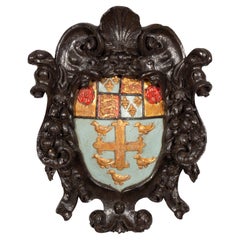
- Charles II Carved Crest Of The Arms Of Westminster SchoolLocated in Essex, MAA large crest with shell and scroll carved frame enclosing an azure ground with gilded coat of arms featuring a cross with four birds over lions and fleur de lis and Tudor roses. Onl...Category
Antique 1670s English Baroque Historical Memorabilia
MaterialsWood, Giltwood

You May Also Like
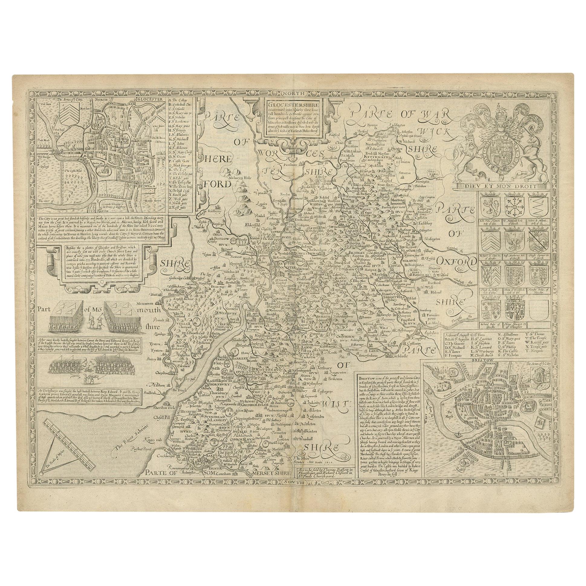
- Antique Map of Gloucestershire by John Speed, '1676'Located in Langweer, NLAntique map titled 'Glocestershire'. Original 17th century map of Gloucestershire, South West England, by John Speed. With inset town plans of G...Category
Antique Mid-17th Century Maps
MaterialsPaper
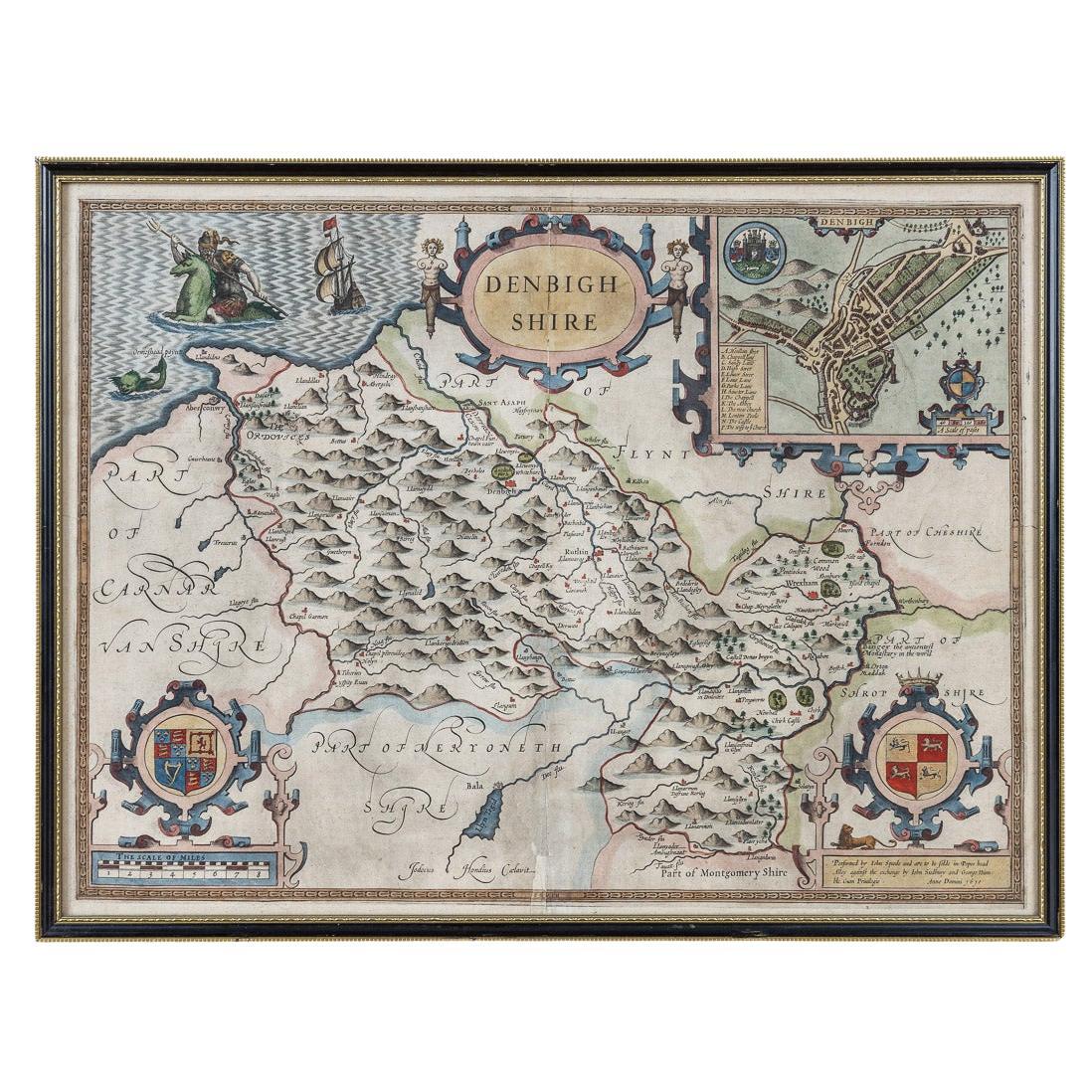
- 17th Century John Speed Map of Denbighshire, c.1610By John SpeedLocated in Royal Tunbridge Wells, KentAntique early 17th century British very rare and original John Speed, hand coloured map of Denbighshire, dated 1610, by John Sunbury and George Humble. John...Category
Antique 17th Century British Maps
MaterialsWood, Paper
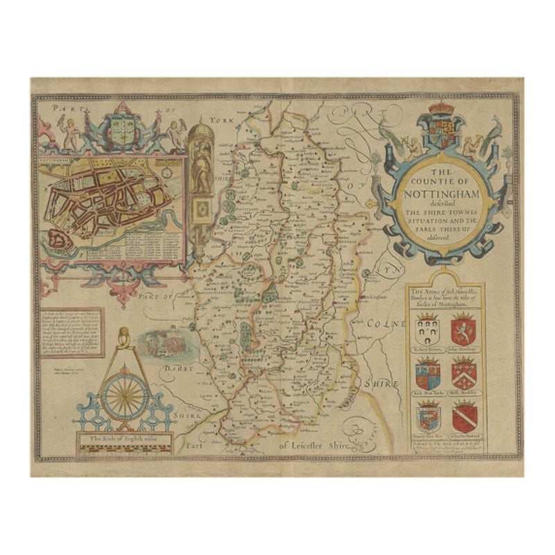
- Antique Map of Nottinghamshire by Speed, 1676Located in Langweer, NLAntique map titled 'The Countie of Nottingham (..)'. Map of Nottinghamshire, England. Includes an inset town plan of Nottingham. This map originates from 'Theatre of Great Britaine' ...Category
Antique 17th Century Maps
MaterialsPaper
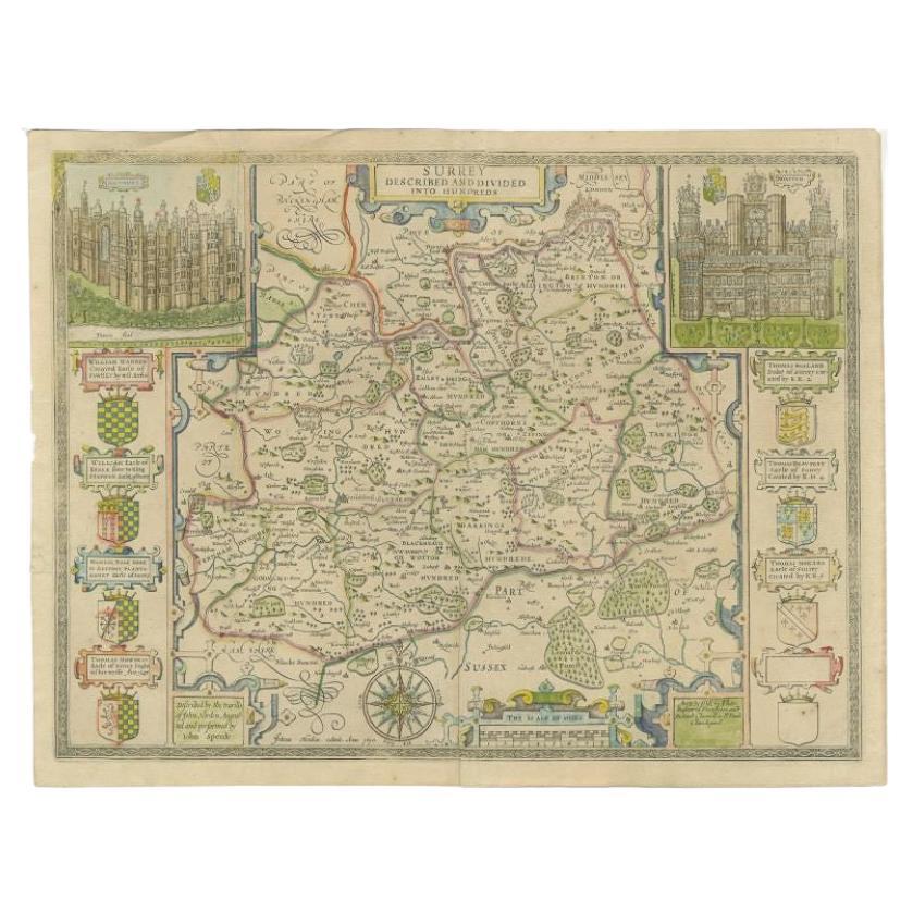
- Antique Map of Surrey by Speed, 1676Located in Langweer, NLAntique map titled 'Surrey described and divided into hundreds'. Map of Surrey, England. Includes inset elevations of Richmond and Nonsuch Palaces. This map originates from 'Theatre ...Category
Antique 17th Century Maps
MaterialsPaper
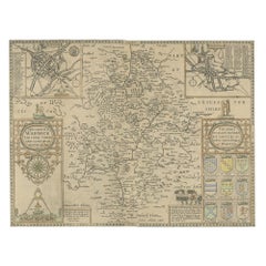
- Antique Map of Northamptonshire by Speed, 1676Located in Langweer, NLAntique map titled 'Norhamtonshire'. Map of Norhamptonshire, England. Includes inset town plans of Peterborough and Northampton. This map originates from 'Theatre of Great Britaine' ...Category
Antique 17th Century Maps
MaterialsPaper
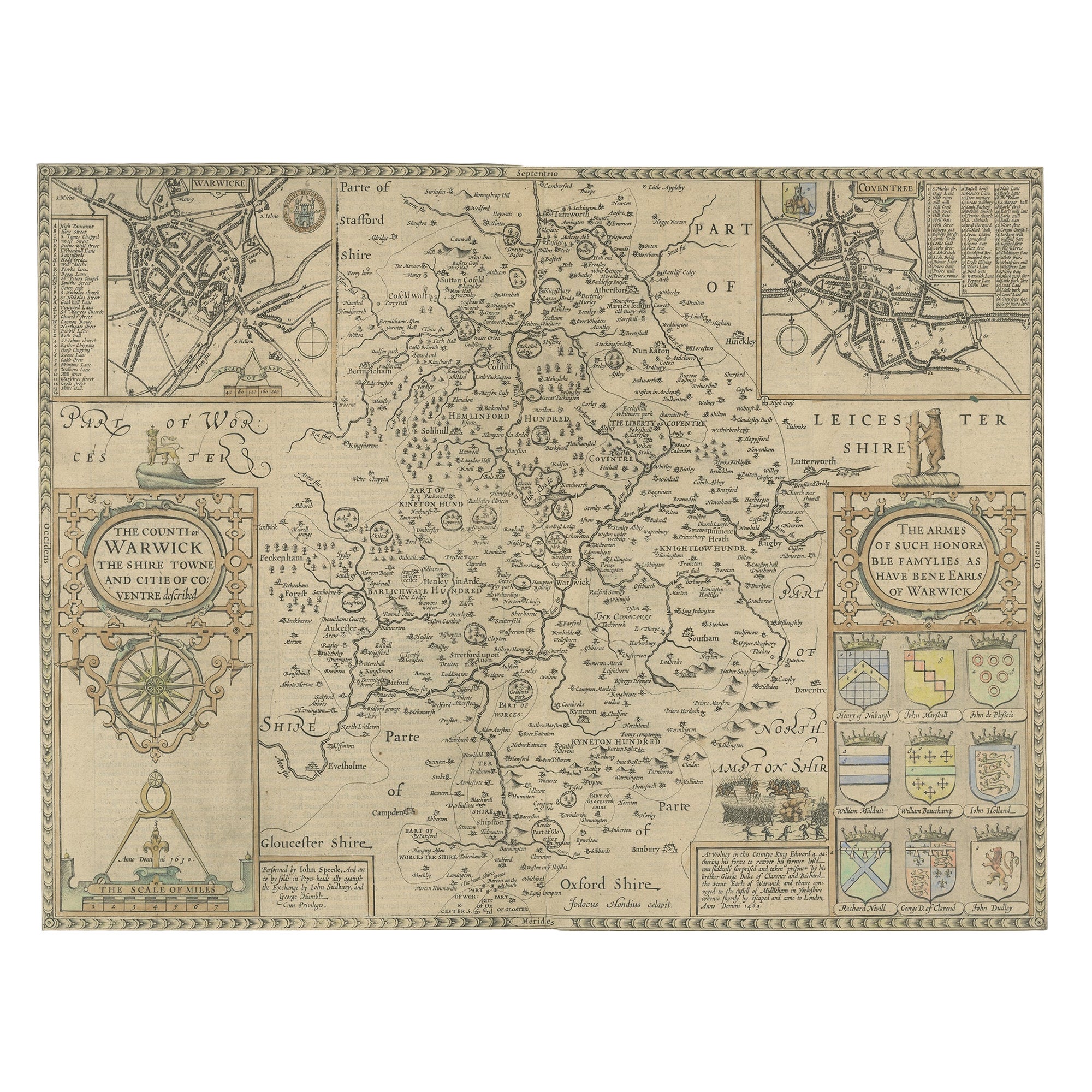
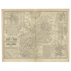
- Antique Map of Warwickshire by Speed, c.1614Located in Langweer, NLAntique map titled 'The Counti of Warwick (..)'. Map of Warwickshire, England. Includes inset town plans of Warwick and Coventry. This map originates from 'Theatre of Great Britaine'...Category
Antique 17th Century Maps
MaterialsPaper

Recently Viewed
View AllMore Ways To Browse
Speed Map
John Speed Maps
John Speed Map
John Speed Antique Maps
Texas Antique Furniture
Antique Texas Furniture
Cross Decor
American West Antiques
Antique Furniture Long Island
Antique London Maps
Antique London Map
Antique Map London
London Antique Maps
London Antique Map
London Map Antique
Antique Maps London
Ship Map
Map Of Britain