Items Similar to 18th Century Map of Paris

Want more images or videos?
Request additional images or videos from the seller
1 of 7
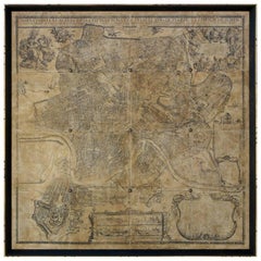
18th Century Map of Paris
$3,200
£2,418.58
€2,787.51
CA$4,515.20
A$4,976.07
CHF 2,605.14
MX$61,121.81
NOK 32,734.09
SEK 30,636.51
DKK 20,812.68
About the Item
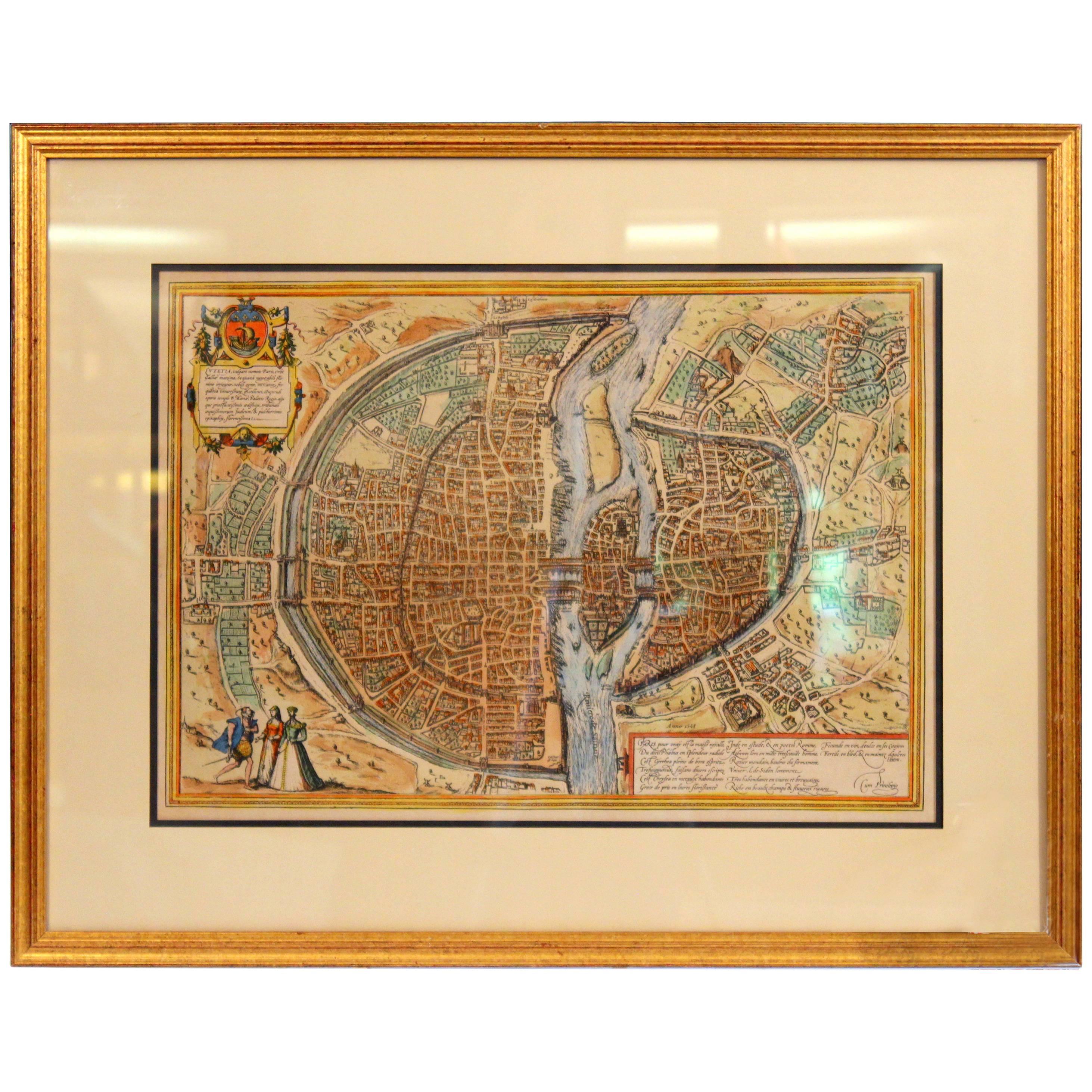
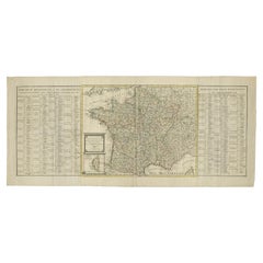
18th century map of Paris.
- Dimensions:Height: 23 in (58.42 cm)Width: 32 in (81.28 cm)Depth: 1 in (2.54 cm)
- Materials and Techniques:
- Place of Origin:
- Period:
- Date of Manufacture:1775
- Condition:Wear consistent with age and use.
- Seller Location:Washington, DC
- Reference Number:Seller: CJ18011671stDibs: LU869822532282
About the Seller
4.7
Vetted Professional Seller
Every seller passes strict standards for authenticity and reliability
1stDibs seller since 2009
162 sales on 1stDibs
Typical response time: 4 hours
- ShippingRetrieving quote...Shipping from: Washington , DC
- Return Policy
Authenticity Guarantee
In the unlikely event there’s an issue with an item’s authenticity, contact us within 1 year for a full refund. DetailsMoney-Back Guarantee
If your item is not as described, is damaged in transit, or does not arrive, contact us within 7 days for a full refund. Details24-Hour Cancellation
You have a 24-hour grace period in which to reconsider your purchase, with no questions asked.Vetted Professional Sellers
Our world-class sellers must adhere to strict standards for service and quality, maintaining the integrity of our listings.Price-Match Guarantee
If you find that a seller listed the same item for a lower price elsewhere, we’ll match it.Trusted Global Delivery
Our best-in-class carrier network provides specialized shipping options worldwide, including custom delivery.More From This Seller
View AllTrumeau Mirror
Located in Washington, DC
Gilt Directoire Trumeau Mirror with a scene of Diana walking up to Eros
Category
Antique 19th Century French Trumeau Mirrors
Materials
Mirror, Wood
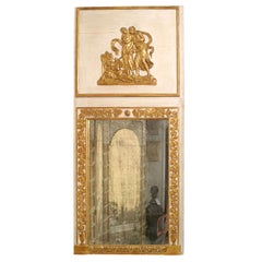
$6,500 Sale Price
23% Off
Antique Alter Table 'Bar'
Located in Washington, DC
A very interesting hand-painted antique alter table which would make a great bar.
It’s made of pine and has the original paintwork which has som...
Category
Antique Late 18th Century French French Provincial Carts and Bar Carts
Materials
Wood
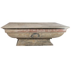
$10,700
Dany Lartigue Oil Painting
By Dany Lartique
Located in Washington, DC
Dany Lartigue Oil Painting depicting Provencal life and culture activity around St. Tropez, France.
Signed "Dany"
Category
20th Century French French Provincial Paintings
Materials
Canvas, Wood

$22,500
Still Life Painting
Located in Washington, DC
Still life painting of fruit in a basket. Oil on silk.
Category
Antique 19th Century French French Provincial Paintings
Materials
Silk, Wood
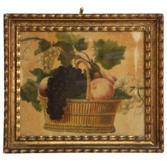
$2,700
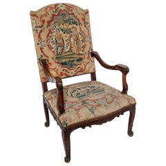
Regency Fauteuil with Petit Point Upholstery
Located in Washington, DC
A Regency fauteuil with petit point upholstery.
Category
Antique 18th Century French Regency Armchairs
Materials
Upholstery, Wood
Gilt Louis XVI Trumeau
Located in Washington, DC
Gilt Louis XVI Trumeau with a musical theme decoration
Category
Antique Mid-18th Century French Louis XVI Trumeau Mirrors
Materials
Mirror, Wood, Paint
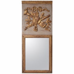
$4,850
You May Also Like
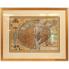
Antique Map of the City of Paris by Tirion '1763'
Located in Langweer, NL
Antique map titled 'Nieuwe Kaart der platte Grond van de Stad Parys (..)'. Beautiful city plan of Paris, France. This map originates from 'Nieuwe en Beknopte Hand-Atlas, bestaande in...
Category
Antique Mid-18th Century Maps
Materials
Paper

Old Engraving Map of Paris French Munster 16th Century Walled City Framed
Located in Wilton, CT
Old or antique colored engraving of Munster's 1572 map of Paris, circa 19th or 20th century (Frame was not opened to look for a publication ...
Category
20th Century French Renaissance Prints
Materials
Paper
$950 Sale Price
36% Off
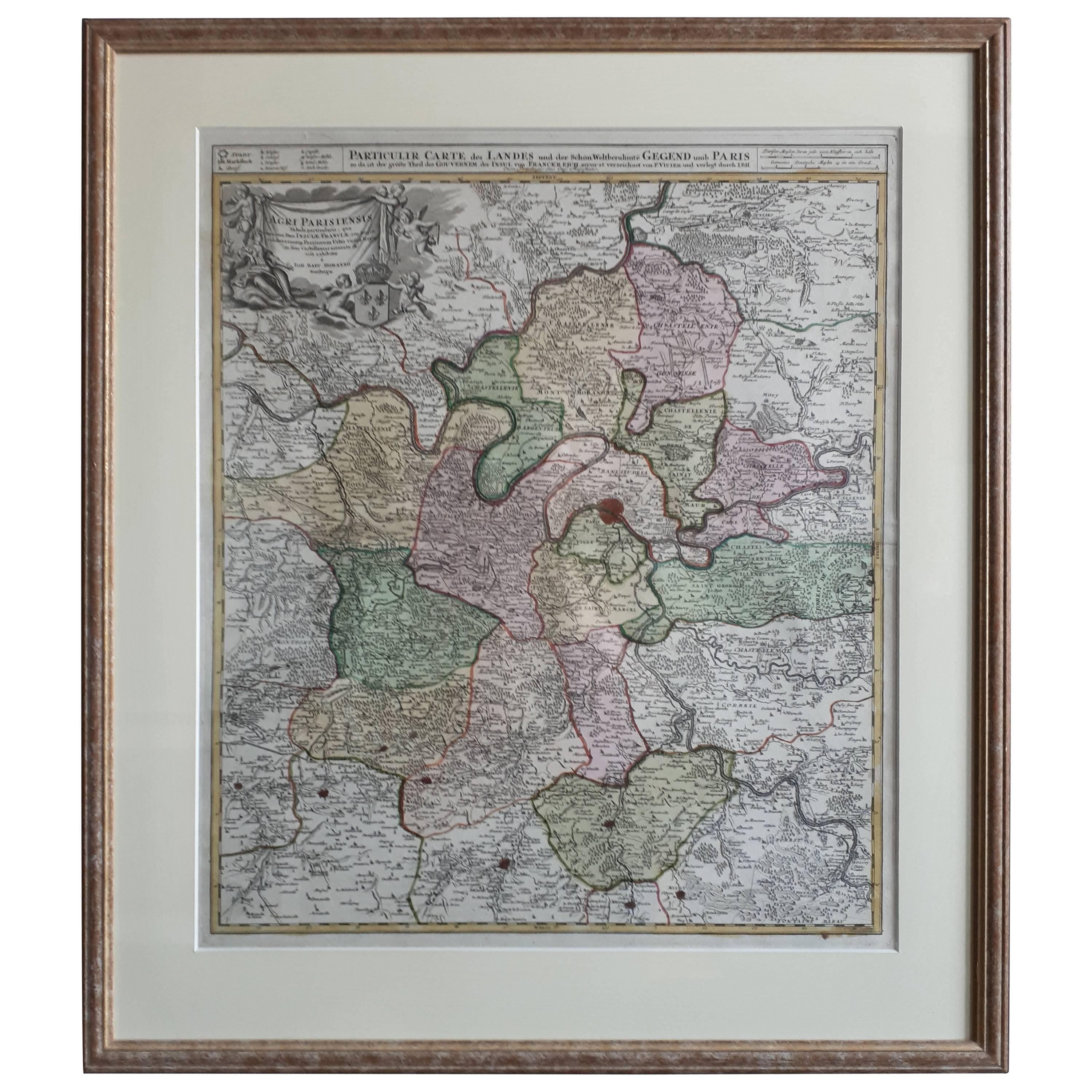
Antique Map of the Region of Paris ‘France’ by H. Heirs, circa 1720
Located in Langweer, NL
Antique map titled 'Agri Parisiensis Tabula particularis, qua maxima Pars Insulae Franciae (..)'. Incredibly detailed map showing everything from tiny villages to forests, farmland, ...
Category
Antique Early 18th Century Maps
Materials
Paper

$1,051 Sale Price
20% Off
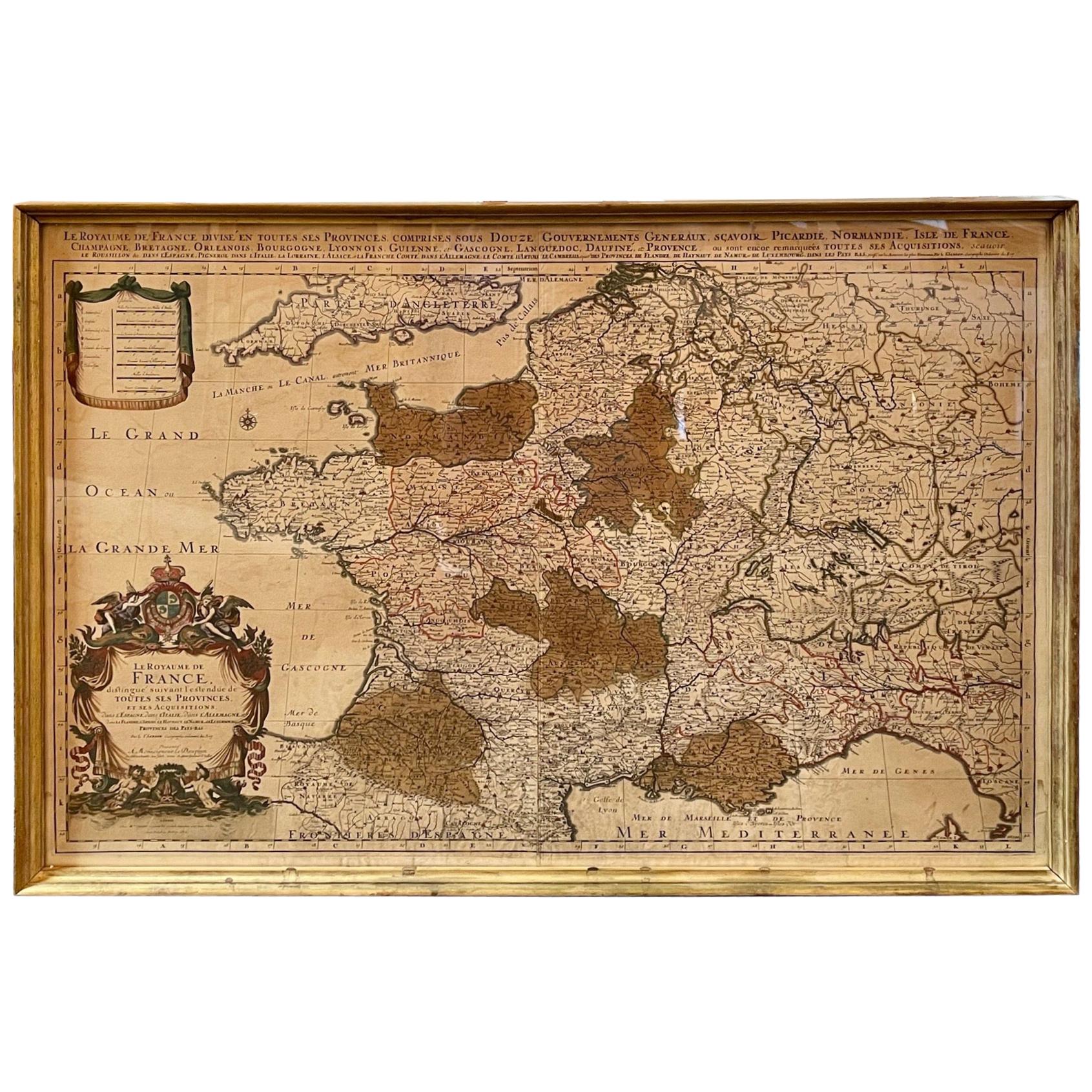
Antique Map of France
Located in Dallas, TX
Nice antique map of France in wood frame. This would make a great gift for a collector. A wonderful accessory!
Category
Early 20th Century Decorative Art
Materials
Glass, Wood, Paper

$1,760
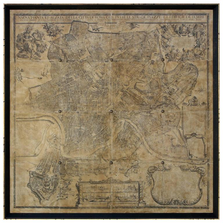
Map of Rome
Located in Los Angeles, CA
A beautifully reproduced antique map of Rome. A work of remarkable lithographic skill and artistry, the work features a delicate yet bold latin he...
Category
2010s American Victorian Drawings
Materials
Wood, Paper
$2,875 / item
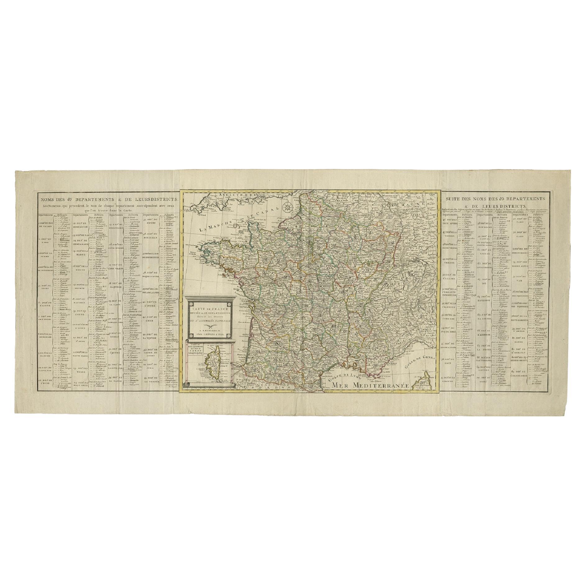
Antique Map of France by Covens & Son, c.1790
Located in Langweer, NL
A detailed description of the 'Carte de France divisée en 83 Departements (..)', an antique map circa 1790, along with information about its publishers, Covens & Mortier:
**Title**:...
Category
Antique 18th Century Maps
Materials
Paper
$429 Sale Price
20% Off
More Ways To Browse
Vintage Fox Hunting Print
Antique Cecil Aldin Signed Print
Antique Tulip Prints
Bearded Vulture
Bertoia Monotype
Carl Hahn
Cecil Aldin Golf
Corporal Punishment
Engraving Of Hercules
George Cook
Hunting Dog Prints
J Hinton
Munting Botanical Prints
Picasso Lithograph Black Paper
R Havell
Raphael Loggia
Ruff Bird
Sister Kent