
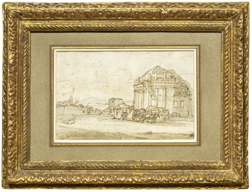
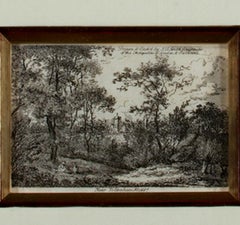
"Harbour Scene, " Engraving Landscape signed by Claude Gellee (Le Lorrain)
View Similar Items


Claude Lorrain"Harbour Scene, " Engraving Landscape signed by Claude Gellee (Le Lorrain)1668
1668
About the Item
- Creator:Claude Lorrain (1604 - 1682, French)
- Creation Year:1668
- Dimensions:Height: 18.125 in (46.04 cm)Width: 20.25 in (51.44 cm)
- Medium:
- Movement & Style:
- Period:Mid-17th Century
- Condition:
- Gallery Location:Milwaukee, WI
- Reference Number:Seller: 12378c1stDibs: LU60533169961
Claude Lorrain
Claude Lorrain, born Claude Gellée, was a French painter, draughtsman and engraver of the Baroque era. He spent most of his life in Italy and is admired for his achievements in landscape painting. He painted a pastoral world of fields and valleys not distant from castles and towns that entered into these quiet scenes. Landscape as a subject was distinctly nontraditional and secular during this time of religious and mythical iconography, and Gellée was certainly breaking with tradition. John Constable described the artist as the most perfect landscape painter the world ever saw and declared that in Claude’s landscape, “all is lovely, all amiable, all is amenity and repose; the calm sunshine of the heart." He passed away on November 23, 1682.
More From This Seller
View All1650s Old Masters Landscape Prints
Paper, Ink, Engraving
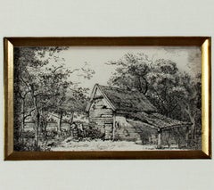
Mid-17th Century Old Masters Landscape Prints
Engraving
1790s Old Masters Landscape Prints
Paper, Etching

1790s Old Masters Landscape Prints
Paper, Ink, Etching
1790s Old Masters Landscape Prints
Paper, Ink, Etching
1790s Old Masters Landscape Prints
Paper, Ink, Etching
You May Also Like
Mid-18th Century Old Masters Landscape Prints
Engraving

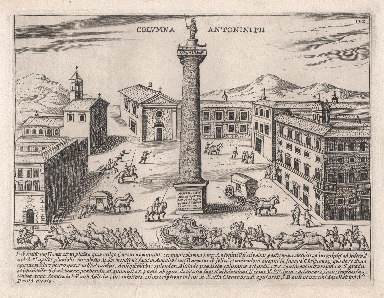
16th Century Old Masters Landscape Prints
Engraving

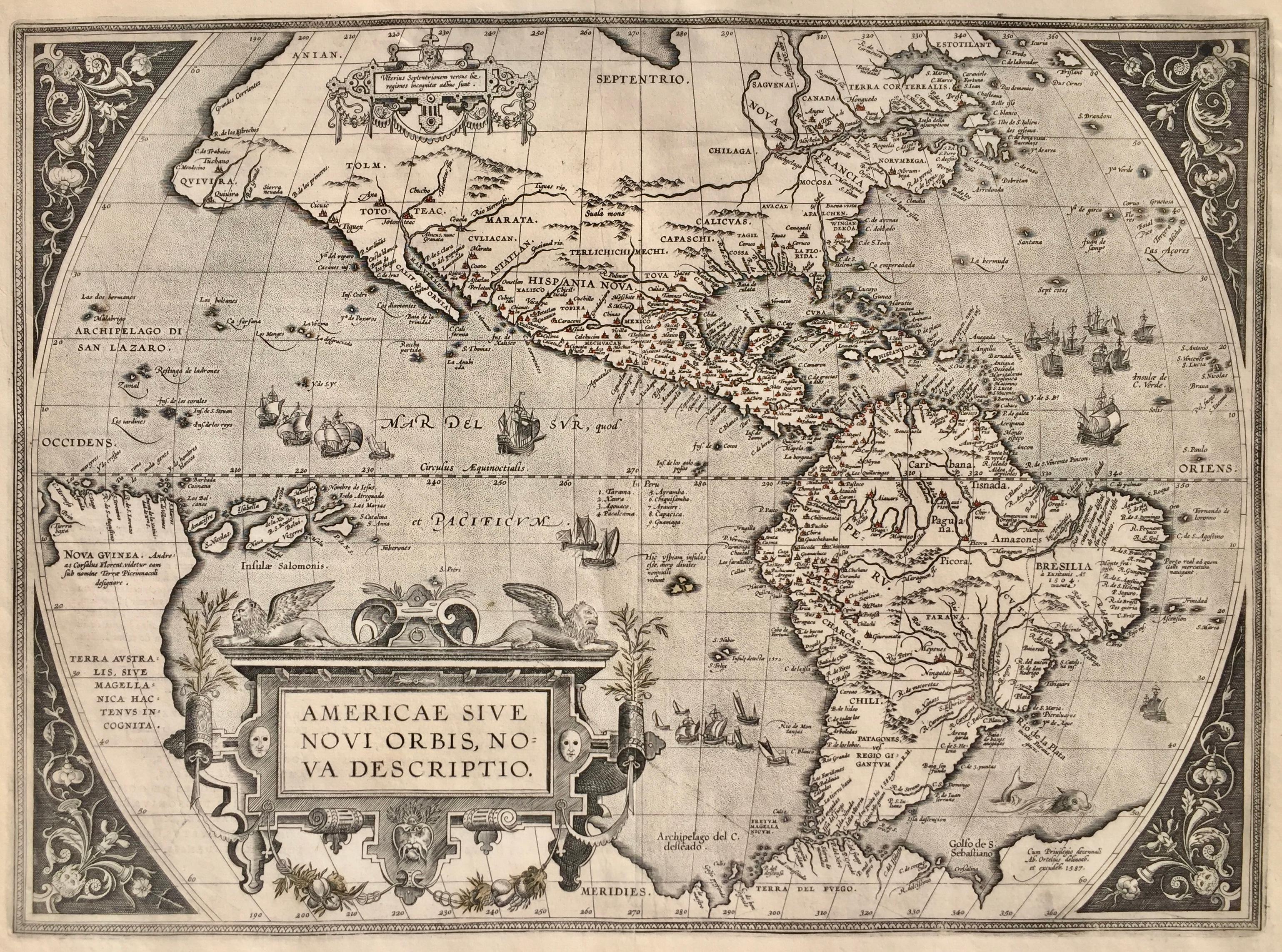
16th Century Old Masters Landscape Prints
Engraving

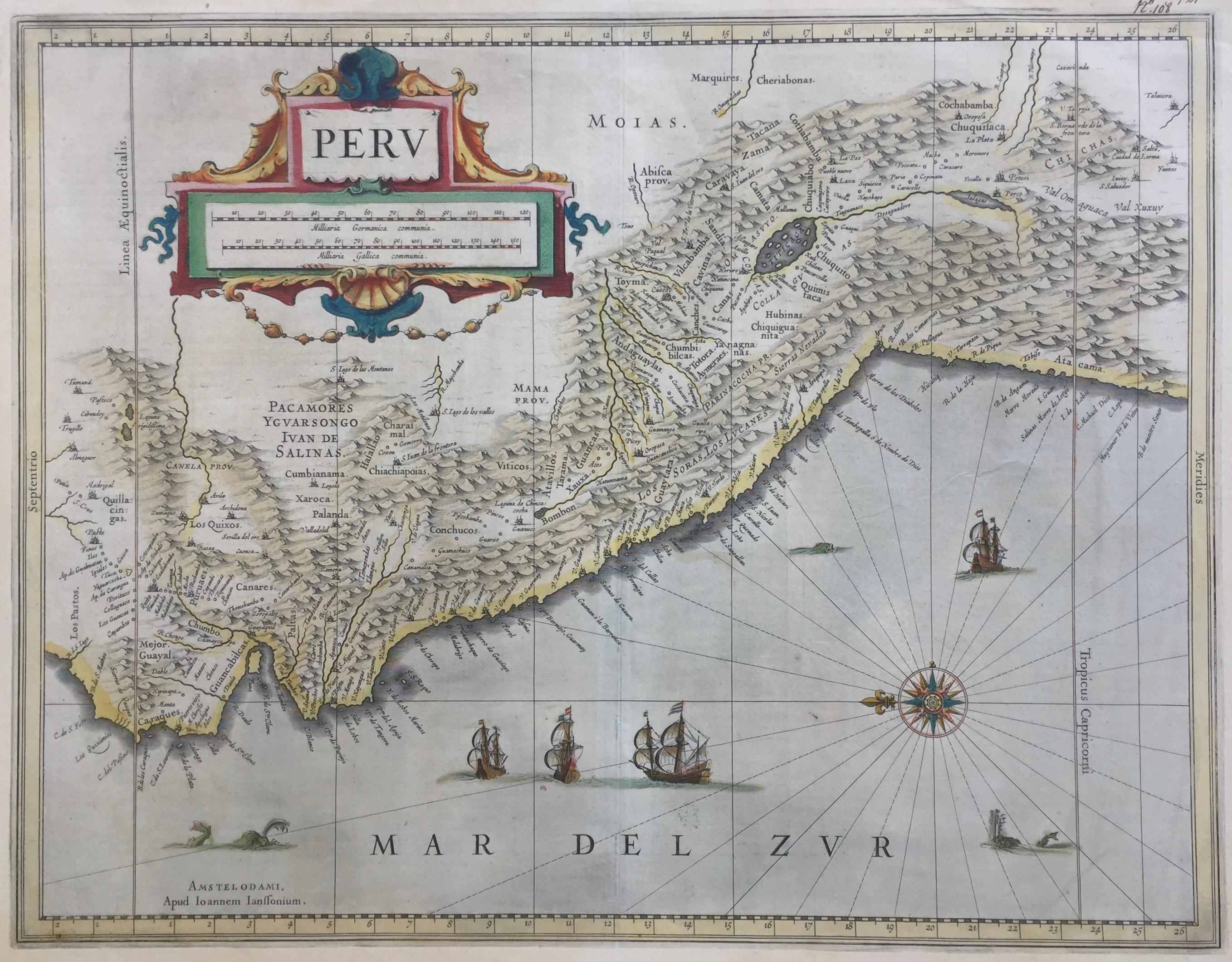
Early 17th Century Old Masters Landscape Prints
Engraving, Etching
16th Century Old Masters Landscape Prints
Engraving

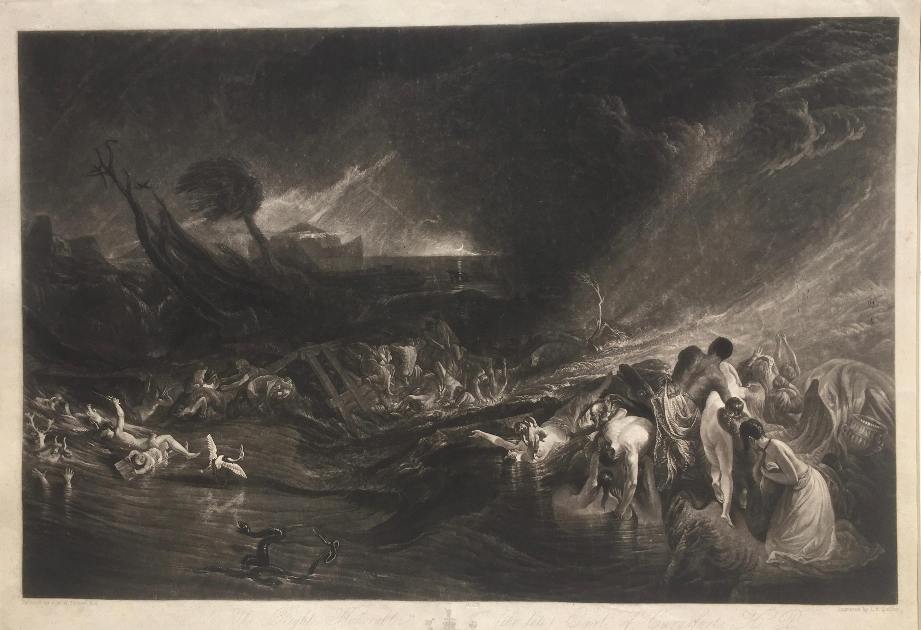
1820s Old Masters Landscape Prints
Mezzotint
