Old Turkey Map
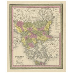
Old Colourful Decorative Map of Turkey in Europe, 1846
Located in Langweer, NL
Antique map titled 'Turkey in Europe'. Old map of Turkey in Europe.
This map originates from 'A
Category
Antique 1840s Maps
Materials
Paper
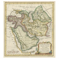
Old Map Depicting Turkey, Persia, Arab and Black Sea Etc, 1778
Located in Langweer, NL
Antique map titled 'Turquie d'Asie, Arabie, Perse, Tartarie Independante'.
Old map of Turkey in
Category
Antique 1770s Maps
Materials
Paper
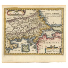
Original Old Map of Northeastern Greece & Northwestern Turkey, Published in 1661
Located in Langweer, NL
covers the ancient region of Thrace, present-day European Turkey and part of Greece. The map is graced
Category
Antique 1660s Maps
Materials
Paper
H 6.42 in W 8 in D 0 in
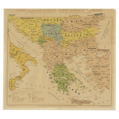
Old Map of the Balkans Incl Greece, Turkey, Serbia, Montenegro, Bulgaria, C.1900
Located in Langweer, NL
antique map of the Balkans including Greece, Turkey, Serbia, Montenegro, Bulgaria and surroundings
Category
Antique Early 1900s Maps
Materials
Paper
H 45 in W 49 in D 0.002 in
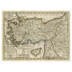
Old Map of Anatolia, part of modern-day Turkey, Armenia and Syria, 1745
Located in Langweer, NL
andere auteuren" translates to "Map of Anatolia and Syria compiled by Mr. Lucas and Mr. Guillaume de
Category
Antique 1740s Maps
Materials
Paper
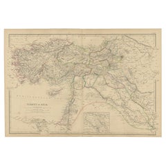
Old Map of Turkey in Asia with Mosul Environs and Assyrian Ruins Inset , 1859
Located in Langweer, NL
Ottoman Empire, known as 'Turkey in Asia', during the mid-19th century.
Key features of this map include
Category
Antique Mid-19th Century Maps
Materials
Paper
H 14.57 in W 21.26 in D 0.02 in
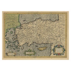
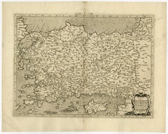
Original Antique Map of Turkey, Asia Minor and Cyprus
By Gerard Mercator
Located in Langweer, NL
Antique map titled 'Natoliae sive Asia Minor'. Original old map of Turkey, Asia Minor and Cyprus
Category
Antique Early 17th Century Maps
Materials
Paper
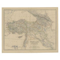
Antique Map of Turkey in Asia by Johnston, 1882
Located in Langweer, NL
Antique map titled 'Turkey in Asia (Asia Minor) and Transcaucasia'. Old map of Turkey in Asia (Asia
Category
Antique 19th Century Maps
Materials
Paper
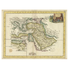
Orginal Antique Handcolored Map of the Turkish Empire, 1748
Located in Langweer, NL
Antique map titled 'L'Empire des Turcs'. Old map of the Turkish Empire with an inset of the North
Category
Antique 18th Century Maps
Materials
Paper
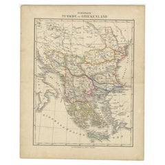
Antique Map of Turkey and Greece by Petri, c.1873
Located in Langweer, NL
Antique map titled 'Europisch Turkije en Griekenland'. Old map depicting Turkey in Europe and
Category
Antique 19th Century Maps
Materials
Paper
Recent Sales
Ptolemaic map of Turkey and Cyprus - Tab I - by Mercator - Engraving - 17th c.
By Gerard Mercator
Located in Zeeland, Noord-Brabant
Minor, Pamphylia, Lycia ac Cilicia, (…).' - A beautiful Ptolemaic map of Turkey and Cyprus showing its
Category
1690s Old Masters More Prints
Materials
Engraving
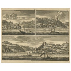
Old Engraving with Views of the Bosphorus and the Black Sea, Turkey, c.1700
Located in Langweer, NL
Untitled print. This print shows views of the Bosphorus and the Black Sea, Turkey. This print
Category
Antique Early 1700s Maps
Materials
Paper
H 12.8 in W 15.95 in D 0 in
Old Map of Turkey in Europe, incl Romania, Servia, Montenegro & Bulgaria, 1882
Located in Langweer, NL
Antique map titled 'Turkey in Europe'.
Old map of Turkey in Europe, also depicting part of
Category
Antique 1880s Maps
Materials
Paper
H 19.53 in W 24.14 in D 0 in
People Also Browsed
Old Map of the Mughal Empire, Persia in the West to Lake Chimay etc., ca.1685
Located in Langweer, NL
Antique map titled 'L'Empire du Grand Mogol'. Old map of India and Central Asia.
The map extends from Persia in the West to Lake Chimay and the Bay of Bengal, with the Himalaya M...
Category
Antique 1680s Maps
Materials
Paper
H 9.85 in W 14.57 in D 0 in
Original Antique Map of Arabia and the Red Sea
Located in Langweer, NL
Antique map titled 'Carte de la Coste d'Arabie (..) - Kaart van de Kust van Arabië (..)'. This is a Dutch version, engraved by J. van Schley, of Bellin's map of Arabia and the Red Se...
Category
Antique Mid-18th Century Maps
Materials
Paper
16th Century Map of Saudi Arabia, the Persian Gulf and Red Sea, ca. 1574
Located in Langweer, NL
Ptolemaic map of the Arabian Peninsula based on the 1548 map of Giacomo Gastaldi. It covers nearly all of the peninsula, but does not include the head of the Red Sea. The coastlines ...
Category
Antique 16th Century Maps
Materials
Paper
H 7.1 in W 9.8 in D 0.002 in
Detailed Original Antique Map of the Turkish Empire with Arabia, 1778
Located in Langweer, NL
Title: Etats Due Grand-Seigneur En Asie, Empire De Perse, Pays Des Usbecs, Arabie et Egypte . . . 1753
Detailed map of the Turkish Empire, extending to the Black Sea, Georgia, the...
Category
Antique 1770s Maps
Materials
Paper
Antique Map of the Persian Gulf and Caspian Sea Region by R. Bonne, 1780
Located in Langweer, NL
Antique print titled 'Carte de la Perse, de la Georgie, et de la Tartarie Independante'. Shows the region from the Persian Gulf and Caspian Sea in the west to the edges of China/Tibe...
Category
Antique Late 18th Century Maps
Materials
Paper
H 10.24 in W 15.12 in D 0.02 in
Antique Map of Turkey, Persia and Afghanistan, 1842
By Pierre M. Lapie
Located in Langweer, NL
Antique map titled 'Carte de la Turquie d'Asia, de la Perse, de l'Afghanistan'. Map of Turkey, Persia and Afghanistan. This map originates from 'Atlas universel de géographie ancienn...
Category
Antique 19th Century Maps
Materials
Paper
Antique Map of the Empire of the Great Mogul
Located in Langweer, NL
Antique map titled 'Magni Mogolis Imperium'. This map depicts the Empire of the Great Mogul in northern India including the region from Iran to Burma. The Indus and Ganges Rivers are...
Category
Antique Late 17th Century Maps
Materials
Paper
Get Updated with New Arrivals
Save "Old Turkey Map", and we’ll notify you when there are new listings in this category.
Old Turkey Map For Sale on 1stDibs
Choose from an assortment of styles, material and more with respect to the old turkey map you’re looking for at 1stDibs. Frequently made of paper, canvas and fabric, every old turkey map was constructed with great care. Your living room may not be complete without an old turkey map — find older editions for sale from the 18th Century and newer versions made as recently as the 20th Century. You’ll likely find more than one old turkey map that is appealing in its simplicity, but Gerard Mercator produced versions that are worth a look.
How Much is an Old Turkey Map?
Prices for an old turkey map can differ depending upon size, time period and other attributes — at 1stDibs, they begin at $68 and can go as high as $4,000, while the average can fetch as much as $476.
