Items Similar to Large Antique Chart of The White Sea, Russa 1854


Want more images or videos?
Request additional images or videos from the seller
1 of 6
Large Antique Chart of The White Sea, Russa 1854
About the Item
Antique map titled 'The White Sea Index Chart'. Large uncommon map of the White Sea with a smaller inset map of the entrance to the White Sea. The white sea is a southern inlet of the Barents Sea located on the northwest coast of Russia. It is surrounded by Karelia to the west, the Kola Peninsula to the north, and the Kanin Peninsula to the northeast.
The White Sea (Russian: ????? ????, Béloye móre; Karelian and Finnish: Vienanmeri, lit. Dvina Sea; Nenets: ?????? ??', Serako yam) is a southern inlet of the Barents Sea located on the northwest coast of Russia. It is surrounded by Karelia to the west, the Kola Peninsula to the north, and the Kanin Peninsula to the northeast. The whole of the White Sea is under Russian sovereignty and considered to be part of the internal waters of Russia. Administratively, it is divided between Arkhangelsk and Murmansk oblasts and the Republic of Karelia.
The major port of Arkhangelsk is located on the White Sea. For much of Russia's history this was Russia's main centre of international maritime trade, conducted by the Pomors ("seaside settlers") from Kholmogory. In the modern era it became an important Soviet naval and submarine base. The White Sea–Baltic Canal connects the White Sea with the Baltic Sea.
The White Sea is one of the four seas named in English after common colour terms—the others being the Black, Red and Yellow Seas.
Artists and Engravers: Engraved by J. & C. Walker. Published according to Act of Parliament at the Hydrographic Office of the Admiralty. Sold by J. D. Potter.
Condition: Good, general age-related toning. Minor wear, blank verso. Please study image carefully.
Date: 1854
Overall size: 102 x 68 cm
Image size: 94 x 65 cm
We also offer thousands of antique prints covering fields of interest as diverse as architecture, natural history, religion, ethnology and many more. Antique prints have long been appreciated for both their aesthetic and investment value. They were the product of engraved, etched or lithographed plates. These plates were handmade out of wood or metal, which required an incredible level of skill, patience and craftsmanship. Whether you have a house with Victorian furniture or more contemporary decor an old engraving can enhance your living space.
- Dimensions:Height: 26.78 in (68 cm)Width: 40.16 in (102 cm)Depth: 0 in (0.01 mm)
- Materials and Techniques:
- Period:
- Date of Manufacture:1854
- Condition:
- Seller Location:Langweer, NL
- Reference Number:
About the Seller
5.0
Platinum Seller
These expertly vetted sellers are 1stDibs' most experienced sellers and are rated highest by our customers.
Established in 2009
1stDibs seller since 2017
1,933 sales on 1stDibs
Typical response time: <1 hour
- ShippingRetrieving quote...Ships From: Langweer, Netherlands
- Return PolicyA return for this item may be initiated within 14 days of delivery.
More From This SellerView All
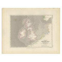
- Large Sea Chart of the British Islands, 1918Located in Langweer, NLAntique map titled 'The British Islands'. Large sea chart of the British Islands. It shows Ireland, Scotland, England, the Shetland Islands and part of Fra...Category
Vintage 1910s Maps
MaterialsPaper
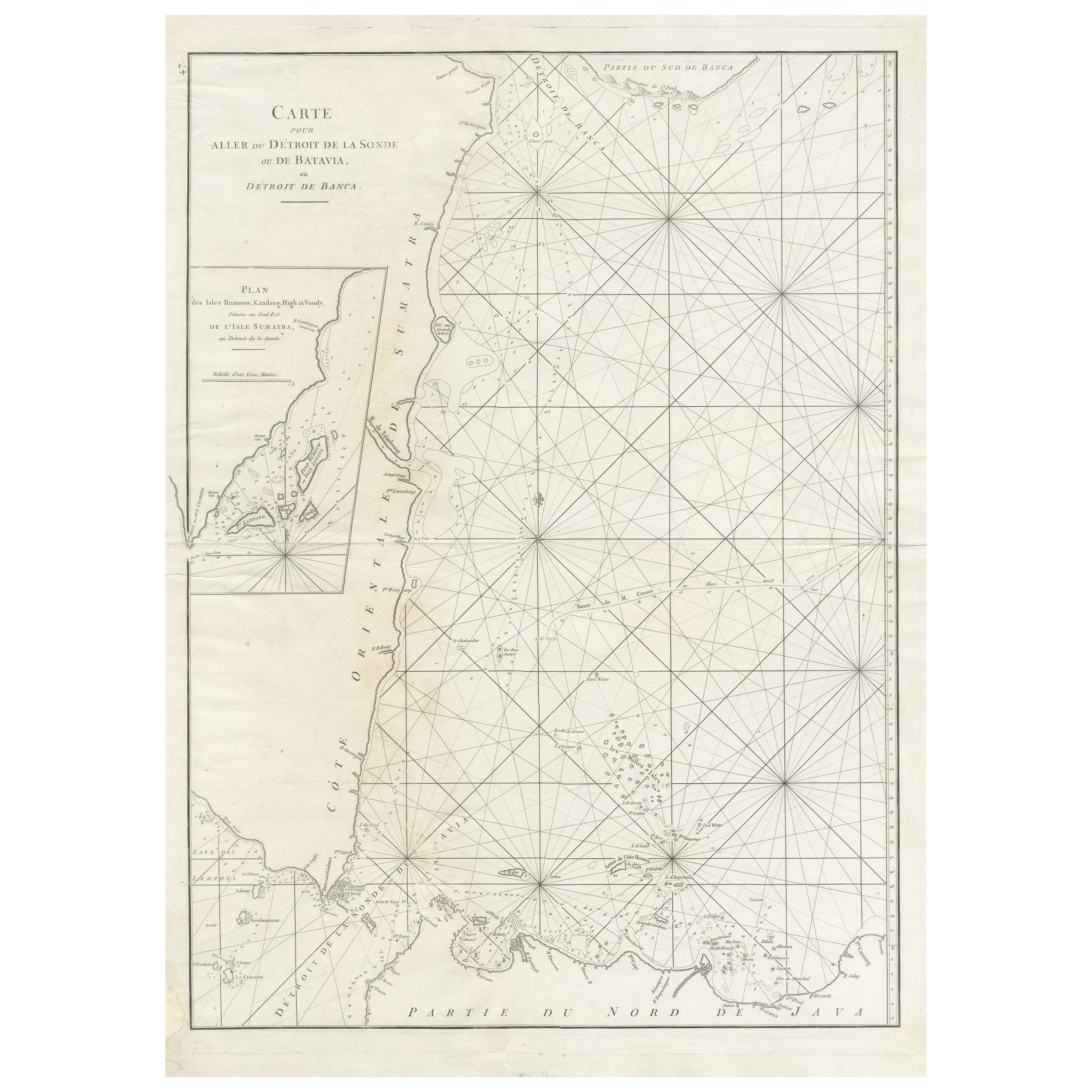
- Large Antique Sea Chart of the South-Eastern Coast of Sumatra, IndonesiaLocated in Langweer, NLAntique map titled 'Carte pour aller du Détroit de la Sonde ou de Batavia, au Détroit de Banca'. This uncommon sea chart shows northern Java and eastern Sumatra along with an inset of the small islands in the Detroit Sound. The handsome chart provides detailed navigational information, including the route of Julien Crozet in April 1772, who led a French expedition to the South Pacific after the voyage's commander, Marion De Fresne, and 26 crew members were killed (and allegedly eaten) by a Maori tribe in the Bay of Islands off the coast of New Zealand. With title upper left corner and small inset map of the small isles nearby the south-eastern coast of Sumatra. J. B. d'Apres de Mannevillette, from his atlas "Neptune orientale". French sailor...Category
Antique Late 18th Century Maps
MaterialsPaper
- Large Chart of the island and sea of Java, IndonesiaLocated in Langweer, NLAntique map titled 'Carte Esférica de la Isla Y Mar de Java'. Large chart of the island and sea of Java, Indonesia. Beautiful nautical chart, published 1863 in Spain.Category
Antique Mid-19th Century Maps
MaterialsPaper
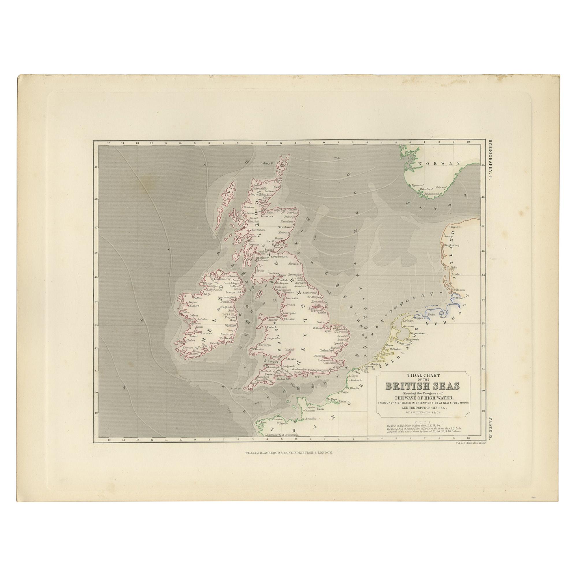
- Antique Tidal Chart of the British Seas by Johnston, '1850'Located in Langweer, NLAntique map titled 'Tidal Chart of the British Seas showing the progress of the wave of high water'. Original antique tidal chart of the British Seas. This map originates from 'The P...Category
Antique Mid-19th Century Maps
MaterialsPaper
- Antique Sea Chart of the Shetland Islands, Scotland, ca.1745Located in Langweer, NLAntique map of Scotland titled 'Nieuwe Paskaard van Hitland met de daar omleggende eylanden na de nieuwe aftekening gemaakt by den Lofwaarden en onvermoeyden Hit en Zeeman Ian Bruyst...Category
Antique 1740s Maps
MaterialsPaper
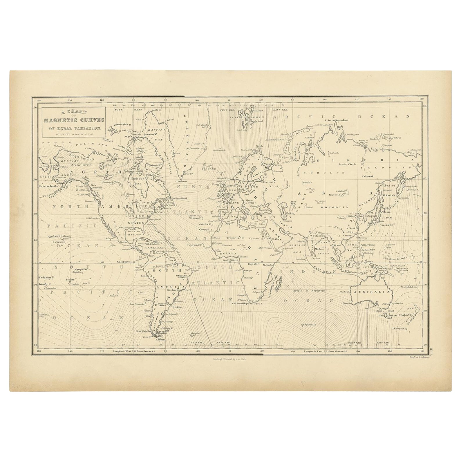
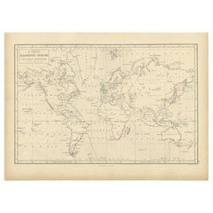
- Antique Chart with Isomagnetic Lines by Black, 1854Located in Langweer, NLAntique map titled 'A Chart of Magnetic Curves of Equal Variation'. Chart with isomagnetic lines on continents, except for North America. This map orginates from 'General Atlas Of Th...Category
Antique 19th Century Prints
MaterialsPaper


You May Also Like
- Antique Anatomical Wall Chart Depicting the Human SkeletonLocated in Berghuelen, DEA rare 19th century anatomical wall chart depicting the human skeleton. On the sides On the sides are detailed description in German language. The wall...Category
Early 20th Century German Victorian Prints
MaterialsPaper
- Antique Foldable Anatomical Wall Chart Depicting Human MusculatureLocated in Berghuelen, DEAntique Foldable Anatomical Wall Chart Depicting Human Musculature The rare 19th century anatomical wall chart depicts the human musculature and inter...Category
Early 20th Century German Victorian Prints
MaterialsWood, Paper
- Anatomical Wall Chart Depicting the Human Lymphatic and Blood VesselsLocated in Berghuelen, DEA rare 19-carat anatomical wall chart depicting the human lymphatic and blood vessels. On the sides with detailed description in German language. Print...Category
Early 20th Century German Victorian Prints
MaterialsPaper
- Large Antique 1859 Map of North AmericaLocated in Sag Harbor, NYThis Map was made by Augustus Mitchell in 1859 It is in amazing condition for being 163 years old. This price is for the rolled up easy to ship version of this piece. I will be Frami...Category
Antique Mid-19th Century American Maps
MaterialsCanvas, Paper

- Genito-Urinary Anatomical Chart Fritz FrohseBy Nystrom / Frohse Art, Fritz FrohseLocated in Philadelphia, PAGenito-Urinary Anatomical Chart by Fritz Frohse. Dated 1922. Paper mounted on canvas. Shows wear but still presents very well!Category
Vintage 1920s German American Classical Prints
MaterialsCanvas, Paper
- Foldable Anatomical Wall Chart Depicting Human MusculatureLocated in Berghuelen, DEA rare 19th century anatomical wall chart depicting human musculature and internal organs. With removable multicolored human organs like lung, heart, l...Category
Early 20th Century German Victorian Prints
MaterialsPaper


Recently Viewed
View AllMore Ways To Browse
Sea Antique
Toner Chart
Finnish Antiques
Antique Chart
Antique Charts
Large Antique Russian
Maritime Antiques
Antique Red And White Plates
Chart Antique
Antique Maps And Charts
Russian Baltic
Large Maritime
Russian And Baltic
English Maritime
Antique Russian Wood Furniture
Antique Russian Wood
Soviet Antique
Antique Soviet