Items Similar to Old Map of Russia Originating from the 'Weekly Dispatch Atlas', ca.1865

Want more images or videos?
Request additional images or videos from the seller
1 of 5
Old Map of Russia Originating from the 'Weekly Dispatch Atlas', ca.1865
About the Item
Antique map titled 'Russia in Asia, E Sheet'.
Old map of Russia originating from the 'Weekly Dispatch Atlas'.
Artists and Engravers: Engraved by J.W. Lowry.
- Dimensions:Height: 19.3 in (49 cm)Width: 13.39 in (34 cm)Depth: 0 in (0.02 mm)
- Materials and Techniques:
- Period:
- Date of Manufacture:circa 1865
- Condition:Wear consistent with age and use. Condition: Good, minor defects from handling. Few holes and tears. Please study image carefully.
- Seller Location:Langweer, NL
- Reference Number:Seller: BGJC-0781stDibs: LU3054327571472
About the Seller
5.0
Recognized Seller
These prestigious sellers are industry leaders and represent the highest echelon for item quality and design.
Platinum Seller
Premium sellers with a 4.7+ rating and 24-hour response times
Established in 2009
1stDibs seller since 2017
2,430 sales on 1stDibs
Typical response time: 1 hour
- ShippingRetrieving quote...Shipping from: Langweer, Netherlands
- Return Policy
Authenticity Guarantee
In the unlikely event there’s an issue with an item’s authenticity, contact us within 1 year for a full refund. DetailsMoney-Back Guarantee
If your item is not as described, is damaged in transit, or does not arrive, contact us within 7 days for a full refund. Details24-Hour Cancellation
You have a 24-hour grace period in which to reconsider your purchase, with no questions asked.Vetted Professional Sellers
Our world-class sellers must adhere to strict standards for service and quality, maintaining the integrity of our listings.Price-Match Guarantee
If you find that a seller listed the same item for a lower price elsewhere, we’ll match it.Trusted Global Delivery
Our best-in-class carrier network provides specialized shipping options worldwide, including custom delivery.More From This Seller
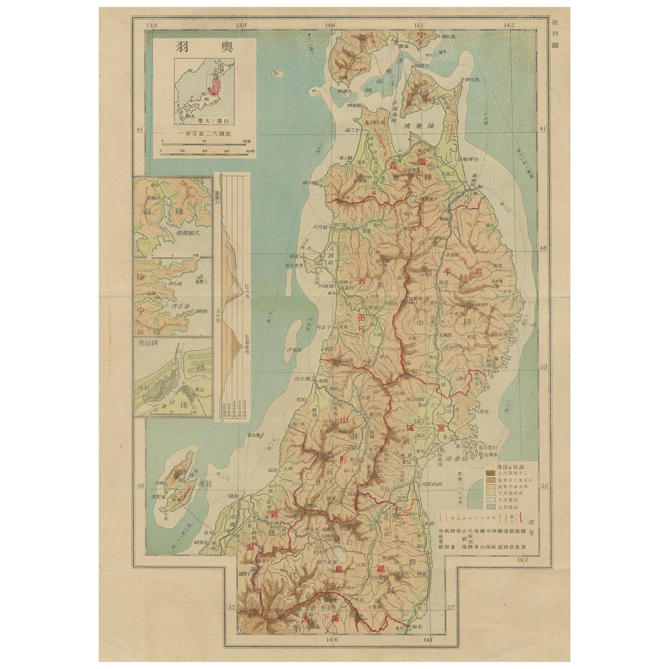
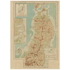
View AllSet of 11 Antique Maps of Japan Originating from a Japanese Atlas, 1906
Located in Langweer, NL
Set of 11 antique maps depicting various regions of Japan. These maps originate from a Japanese atlas, dated 1906. All text is in Japanese.
Category
20th Century Maps
Materials
Paper
$458 Sale Price / set
20% Off
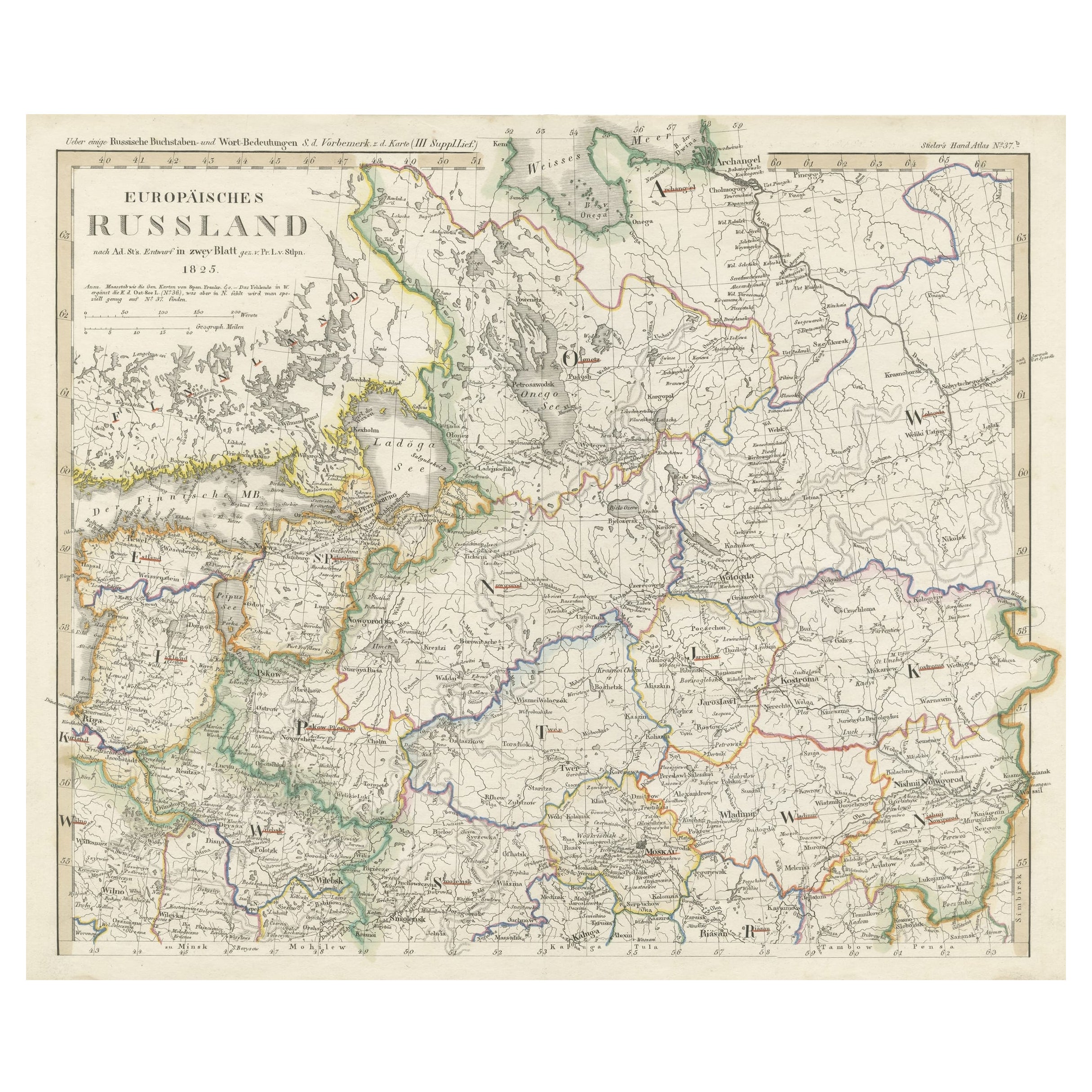
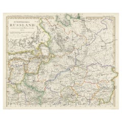
Antique Map of Russia in Europe on Two Sheets from an Old German Atlas, Ca.1825
Located in Langweer, NL
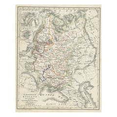
Description: Antique map titled 'Europäisches Russland'.
Two individuel sheets, joined together they depict Russia in Europe. These maps originate from 'Stielers Handatlas'. Publis...
Category
Antique 1820s Maps
Materials
Paper
$412 Sale Price
20% Off
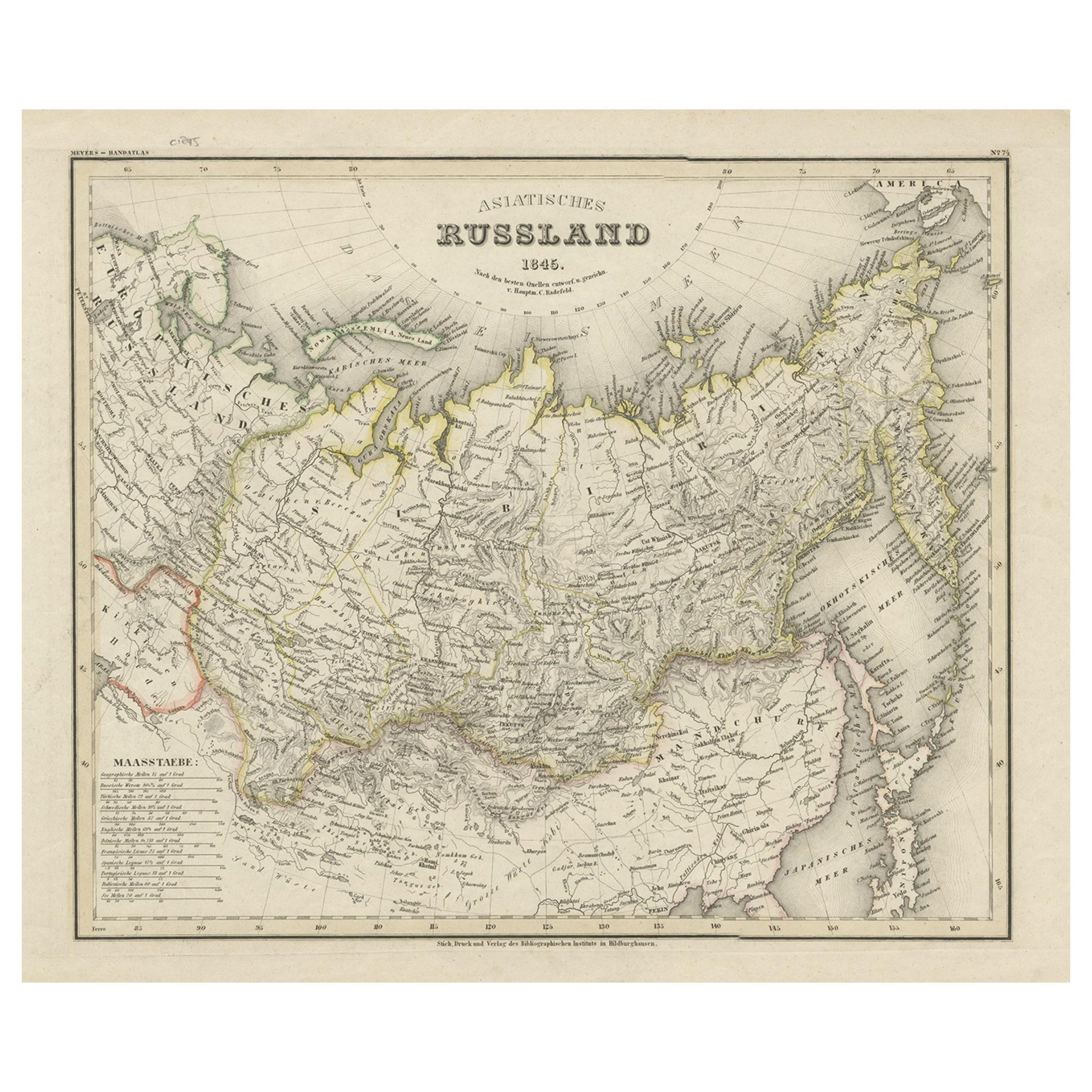
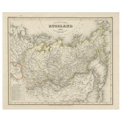
Antique Map of Russia in Asia from An Old German Atlas, 1845
By Meyer
Located in Langweer, NL
Antique map titled 'Asiatisches Russland'. This map depicts Russia in Asia and originates from 'Meyers Handatlas'.
Artists and Engravers: Engraved and published by 'Bibliographis...
Category
Antique 19th Century Maps
Materials
Paper
$82 Sale Price
20% Off
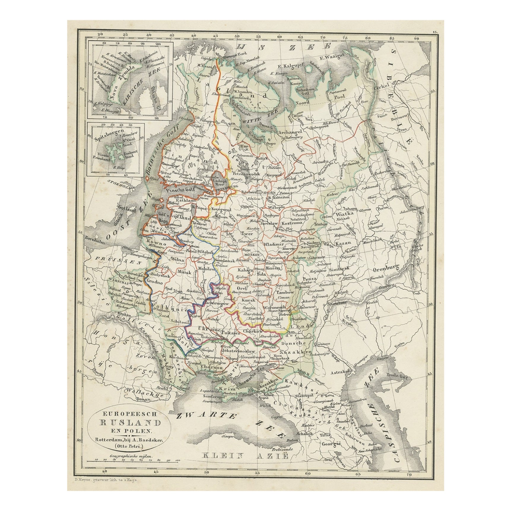
Antique Map of Russia in Europe and Poland from an d Old Dutch Atlas, 1852
Located in Langweer, NL
Description: Antique map titled 'Europeesch Rusland en Polen'.
Map of Russia in Europe and Poland. This map originates from 'School-Atlas van alle deelen der Aarde' by Otto Petri...
Category
Antique 1850s Maps
Materials
Paper
$110 Sale Price
20% Off
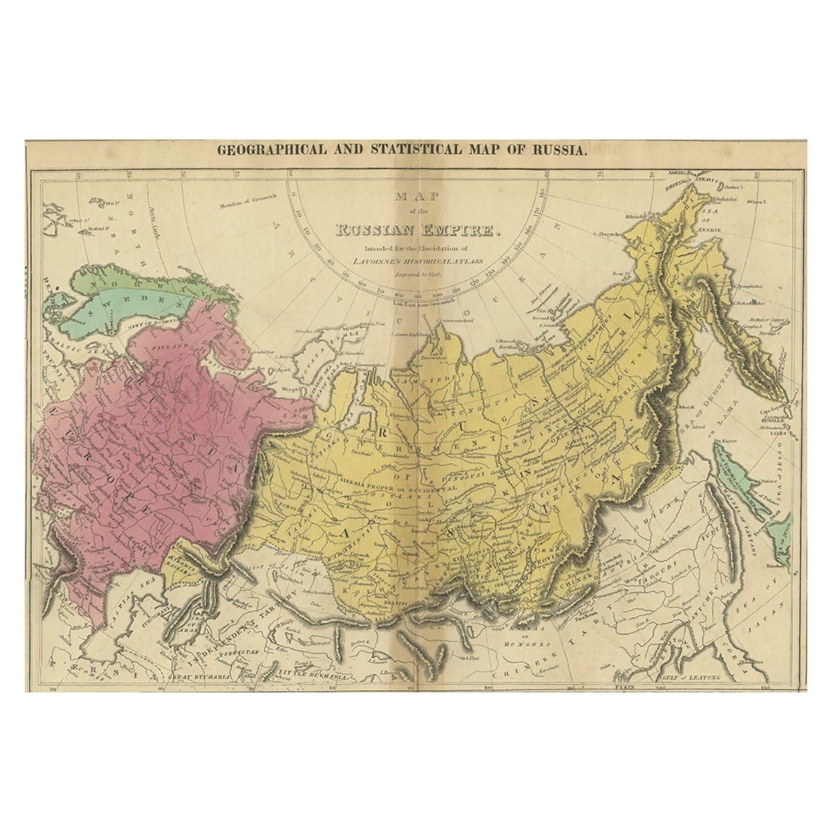
Old Map of the Russian Empire, with English Language Text, Ca.1820
Located in Langweer, NL
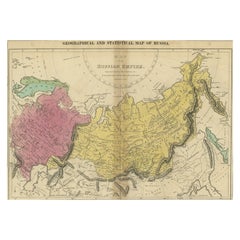
Antique map titled 'Geographical, Statistical and Historical Map of Russia'.
Old map of the Russian Empire, encompassed on three sides by English language text. Originates from L...
Category
Antique 1820s Maps
Materials
Paper
Decorative Original Old Map of Nova Zembla and the Russian Mainland, ca.1760
Located in Langweer, NL
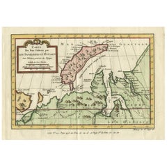
Antique map titled 'Carte Des Pais Habites par les Samojedes et Ostiacs.'
Map of Novaya Zemlya and the Russian mainland. Source unknown, to be determined.
Artists and Engraver...
Category
Antique 1760s Maps
Materials
Paper
$412 Sale Price
20% Off
You May Also Like
Old Horizontal Map of England
By Tasso
Located in Alessandria, Piemonte
ST/520 - Old rare Italian map of England, dated 1826-1827 - by Girolamo Tasso, editor in Venise, for the atlas of M.r Le-Sage.
Category
Antique Early 19th Century Italian Other Prints
Materials
Paper

“The Restaurant of the House of Representatives” Engraving by Harper's Weekly
Located in Colorado Springs, CO
This original wood engraving is titled “The Restaurant of the House of Representatives, Washington, DC.” It was published as a double-page image, in the August 12, 1893 issue of the famous 19th century newspaper Harper’s Weekly. The print was illustrated by Charles Stanley Reinhardt.
The House Restaurant, a unique part of life in the Capitol, has been in the same location since the 1857 Capitol Expansion. Congressional members’ busy work schedule made the availability of food on site a necessity. But the restaurant also served as an informal meeting spot for members to continue conversations and deal making.
This 1893 print illustrates the convivial atmosphere. Details including elegantly dressed tables...
Category
Antique 1890s American Prints
Materials
Paper

Lithographic print on paper, depicting the atlas of the hand, France 1850 ca.
Located in Milan, IT
An anatomical lithographic print on paper, depicting the anatomical atlas of the hand. Black lacquered fir wood frame with golden ramin wood batting. N. H. Ja...
Category
Antique Mid-19th Century French Prints
Materials
Glass, Wood, Paper

New Map of North America from the Latest Discoveries, 1763
Located in Philadelphia, PA
A fine antique 18th century map of the North American seaboard.
Entitled "A New Map of North America from the Latest Discoveries 1763".
By the Cartographer/Engraver - John Spil...
Category
Antique Mid-18th Century English Georgian Maps
Materials
Paper

Vintage "View of the Center of Paris Taken from the Air" Lithograph Map
Located in San Diego, CA
A very stylish "View of the Center of Paris Taken from the Air" lithograph map published by the Paris Ministry of Tourism, circa early 1950s. The piece measures 27" x 43" and shows...
Category
20th Century French Mid-Century Modern Prints
Materials
Paper

$680 Sale Price
20% Off
Map of the Republic of Genoa
Located in New York, NY
Framed antique hand-coloured map of the Republic of Genoa including the duchies of Mantua, Modena, and Parma.
Europe, late 18th century.
Dimension: 25...
Category
Antique Late 18th Century European Maps

Recently Viewed
View AllMore Ways To Browse
French Art Nouveau Armchair
Garden Dining Oval Table
Gear Table
Glass Top Side Tables Rattan
Glass Turtle
Gold Gilded Console Table
Gothic Library
Green Majolica Platter
Hand Knotted Rug Lion
Hans Wegner Chairs Red
Harrys Bar
Hat Hooks Brass
Hexagon Pedestal
High Back Velvet Lounge Chair
Hoof Brass Feet
House Of Hackney
India Heriz Rug
Indian Botanical Art