Items Similar to Antique Map of Paris, "Carte Routiere des Environs de Paris" 1841
Want more images or videos?
Request additional images or videos from the seller
1 of 5
Antique Map of Paris, "Carte Routiere des Environs de Paris" 1841
About the Item
This beautiful hand-colored road map of Paris was published in 1841. The map shows Paris and the surrounding area in a folding pocket map. Organized and detailed for travelers, this map shows rivers, towns, parks, and numbered roadways. Along the edges are depictions of the most famous tourist attractions around the city including Notre Dame, The Palace of Versailles, and the Hermitage of Jean-Jacques Rousseau. Originally, this map would have neatly folded into the small and portable cover on the left titled, “The New Road Map.”
Published during the July Monarchy, this map shows the city as it was in between two revolutions: the July Revolution and the 1848 Revolution. The Wall of the Ferme Générale surrounds the gray center of Paris, as the map clearly shows, however, that wall was soon replaced by the planned Thiers Wall shown in red. The Ferme Générale wall was not defensive, but meant to enforce import tax on goods entering the city. In 1841, the same year this map was published, construction began for the Thiers Wall that served as the last defensive wall around Paris. When the wall was proposed to the French Parliament, many saw it as a way to protect the monarchy in the event of another revolution rather than a way to protect the French people. Only seven years after this pocket map included the plans for the wall, the 1848 Revolution overthrew the monarchy despite the fortification. After WWI, the Thiers wall was rendered useless in the face of modern warfare technology and was dismantled between 1919 and 1929.
This map is not only an interesting snapshot amidst the rapid changes of the 19th century, but it would also have been extremely useful to all travelers at the time. Numbered road systems and recommended attractions helped the average tourist navigate the city and make the most of their visit to one of the largest cities in Europe.
Condition:
Overall very good condition. The 1841 map has some very light soiling as expected with age, but the colors are still vibrant. Horizontal and vertical creases throughout from where the map would have folded into the booklet. The booklet shows some signs of use with minor stains and distressed edges. Presented with the booklet cover, this map is archivally framed and protected with non-acidic matting and UV protective glass.
Framed dimensions: 38 1/8" H x 47 1/8" W x 1 1/4" D.
- Dimensions:Height: 38.13 in (96.86 cm)Width: 47.13 in (119.72 cm)Depth: 1.25 in (3.18 cm)
- Materials and Techniques:
- Place of Origin:
- Period:
- Date of Manufacture:1841
- Condition:Wear consistent with age and use. Overall very good condition. The 1841 map has some very light soiling as expected with age, but the colors are still vibrant. Horizontal and vertical creases throughout from where the map would have folded into the booklet.
- Seller Location:Colorado Springs, CO
- Reference Number:
About the Seller
4.9
Platinum Seller
These expertly vetted sellers are 1stDibs' most experienced sellers and are rated highest by our customers.
Established in 2010
1stDibs seller since 2011
400 sales on 1stDibs
Typical response time: <1 hour
- ShippingRetrieving quote...Ships From: Colorado Springs, CO
- Return PolicyA return for this item may be initiated within 10 days of delivery.
More From This SellerView All
- "San Francisco, Upper California” 1851 Antique Map of San FranciscoLocated in Colorado Springs, COThis is a pictorial lettersheet view of the city and harbor of San Francisco. This lithograph was printed on grey wove paper, across a double sheet, by famed lithographers Britton & ...Category
Antique 1850s American Prints
MaterialsPaper
- Plan of Paris, France, by A. Vuillemin, Antique Map, 1845Located in Colorado Springs, COThis large and detailed plan of Paris was published by Alexandre Vuillemin in 1845. The map conveys a wonderful amount of information and is decorated throughout with pictorial vigne...Category
Antique 1840s American Maps
MaterialsPaper
- “A Football Match, Scotland v. England” Antique Engraving, Proof Edition of 100By Overend and SmytheLocated in Colorado Springs, COThis is the 1889 William H. Overend (1851-1898) and Lionel Smythe (1839-1918) first edition, photogravure of the Calcutta Cup – a Rugby match between Scotland and England, that has been played over 100 times, the first match...Category
Antique 19th Century English Prints
MaterialsPaper
- 1864 "Proclamation of Emancipation, " Antique Engraving by Charles ShoberLocated in Colorado Springs, COThis 1865 engraving features the Emancipation Proclamation in elaborate calligraphic text, with five patriotic vignettes and a small portrait...Category
Antique 1860s American Historical Memorabilia
MaterialsPaper
- Civil War Panorama of the Seat of War by John Bachmann, Antique Print circa 1864Located in Colorado Springs, COPanorama of the seat of war. Bird's-eye View of Virginia, Maryland, Delaware and the District of Columbia. This third state of this fascinating bird's eye view of the northernmost p...Category
Antique 1860s American Maps
MaterialsPaper
- N.E. View of the United States Capitol, Washington, DC Antique Proof Print 1858Located in Colorado Springs, COThis engraved print shows a view of the United States Capitol Building, in Washington, D.C. The print depicts the neoclassical building from the northeast orientation, with a bustling street scene in front. The steel engraving is a proof printing, drawn and engraved by Henry Sartain and published in 1858. Plans began in May 1854 to build a new cast-iron dome for the United States Capitol. The then-architect of the Capitol Thomas Walter and his team were sold on the aesthetics of a new dome, as well as the utility of a fire-proof one. A year later, on March 3, 1855, President Franklin Pierce...Category
Antique 1850s American Prints
MaterialsPaper


You May Also Like
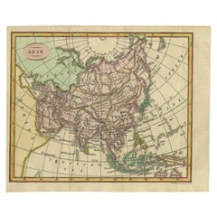
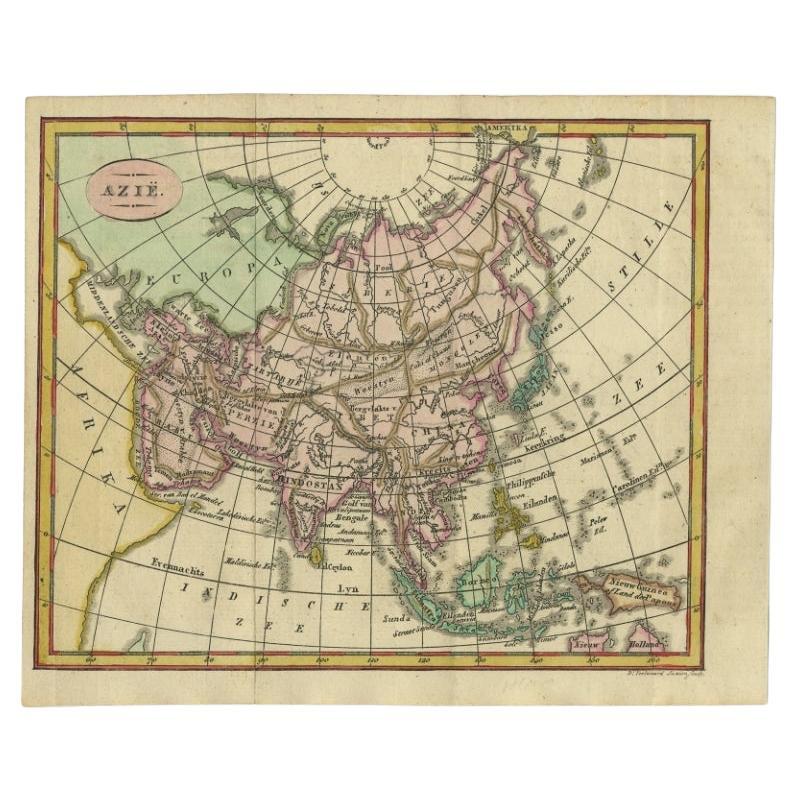
- Small Antique Map of the Asian Continent, 1841Located in Langweer, NLAntique map titled 'Azie.' Small map of the Asian continent. This map originates from 'De Aarde, beschouwd in haren Natuurlijken Toestand en Verdeeling (..)' by N.G. van Kampen. Publ...Category
Antique 19th Century Maps
MaterialsPaper
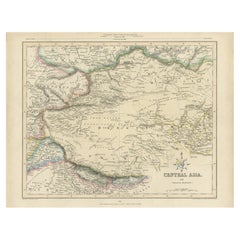
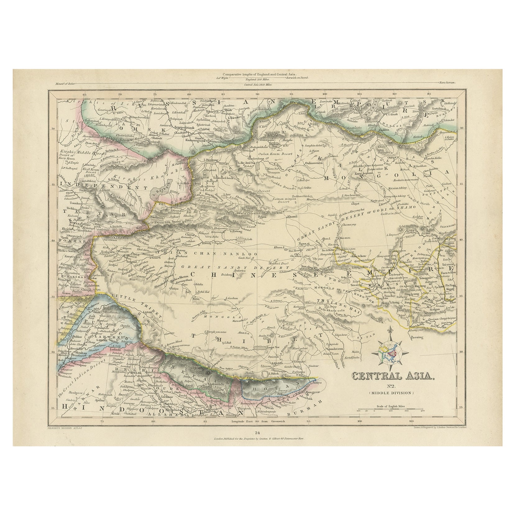
- Antique Map of Central Asia, Finely Engraved, 1841Located in Langweer, NLAntique map titled 'Central Asia, Middle Division'. A finely engraved and attractive mid 19th Century map of Central Asia which was drawn and engraved by Joshua Archer and published ...Category
Antique 19th Century Maps
MaterialsPaper
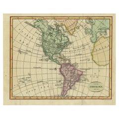
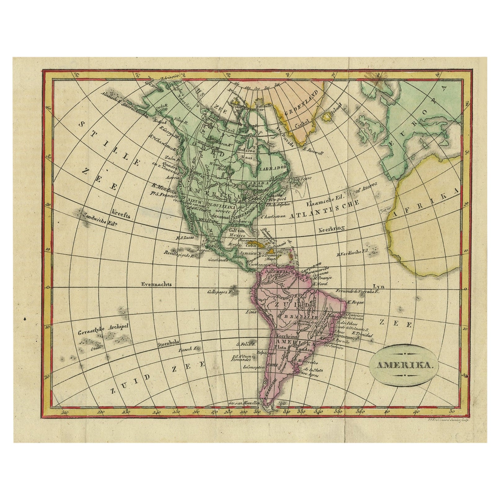
- Decorative Dutch Antique Map of North and South America, 1841Located in Langweer, NLDescription: Antique map titled 'Amerika'. Small map of North and South America. This map originates from the Dutch publication 'De Aarde, beschouwd in haren Natuurlijken Toestan...Category
Antique 1840s Maps
MaterialsPaper
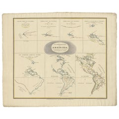
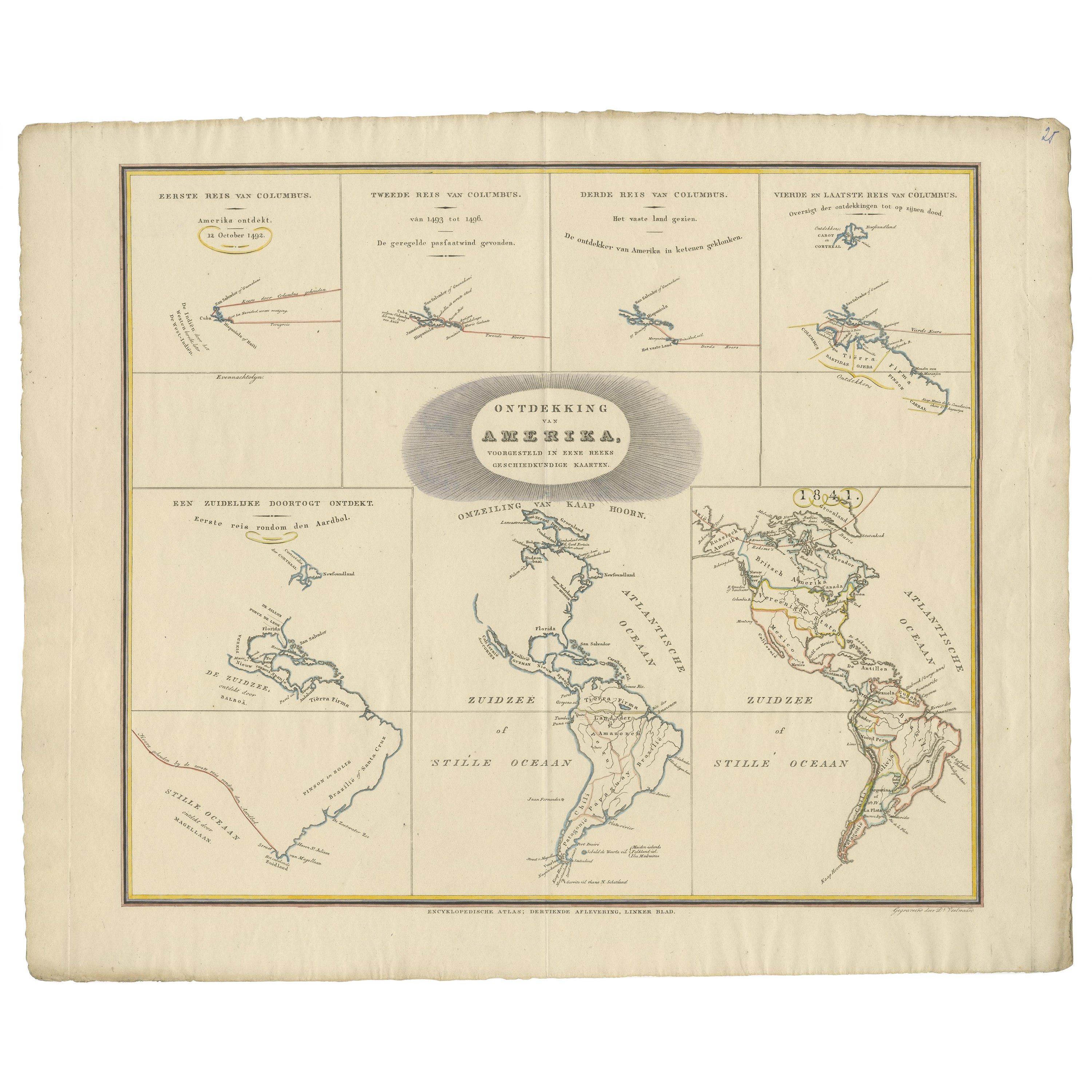
- Interesting Antique Map of the Development of the Mapping of the America's, 1841Located in Langweer, NLTitle: "De ontdekking van Amerika. Voorgesteld in eene reeks geschiedkundige kaarten". Collection of hand-colored engraved maps by D. VEELWAARD on 1 sheet, "Dertiende aflevering,...Category
Antique 1840s Maps
MaterialsPaper
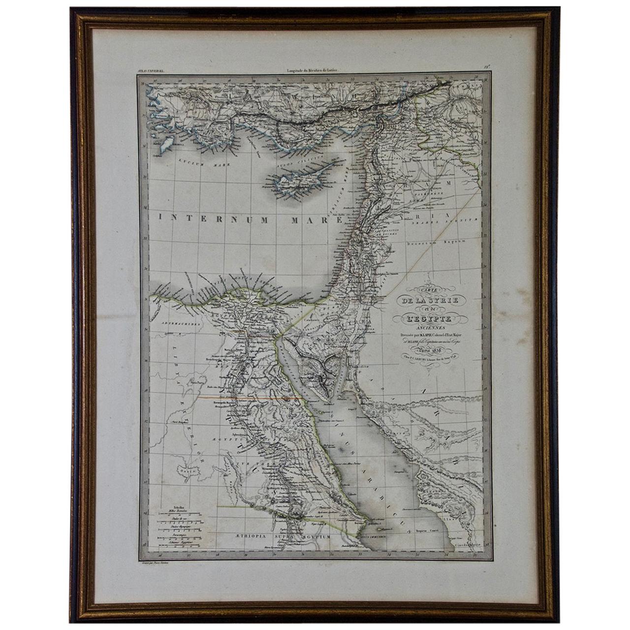
- Map of the Holy Land "Carte de la Syrie et de l'Egypte" by Pierre M. LapieBy Pierre M. LapieLocated in Alamo, CAAn early 19th century map of ancient Syria and Egypt entitled "Carte de la Syrie et de l'Egypte anciennes/dressée par M. Lapie, Colonel d'Etat Major, et...Category
Antique Early 19th Century French Maps
MaterialsPaper
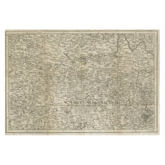
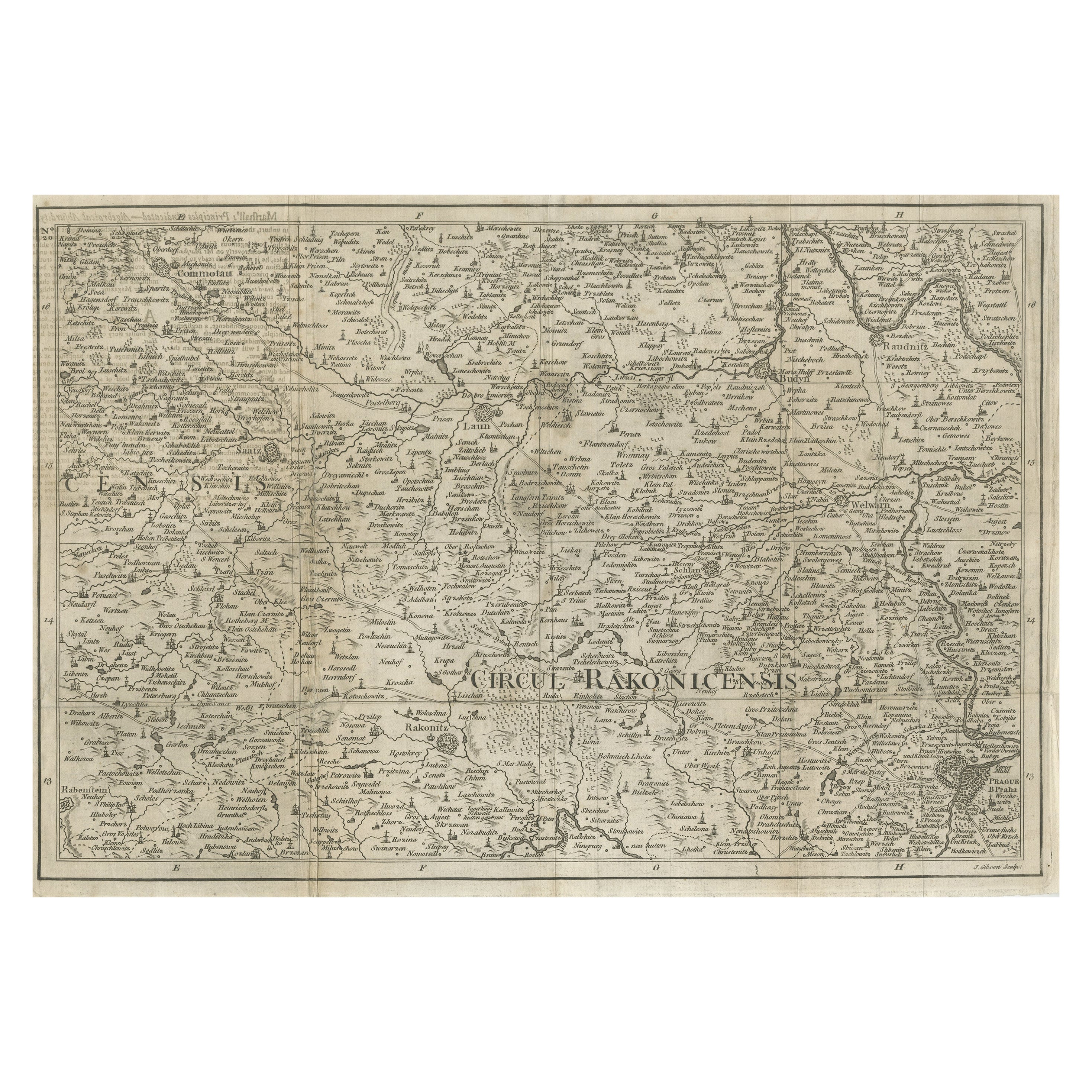
- Rare Detailed Antique Map of Prague and Its North West Environs, ca.1760Located in Langweer, NLDescription: original antique map of the environs of North West Prague. This map originates from the 'Gentlemans Magazine'. Published circa 1760. Artists and Engravers: Engraved ...Category
Antique 1760s Maps
MaterialsPaper