
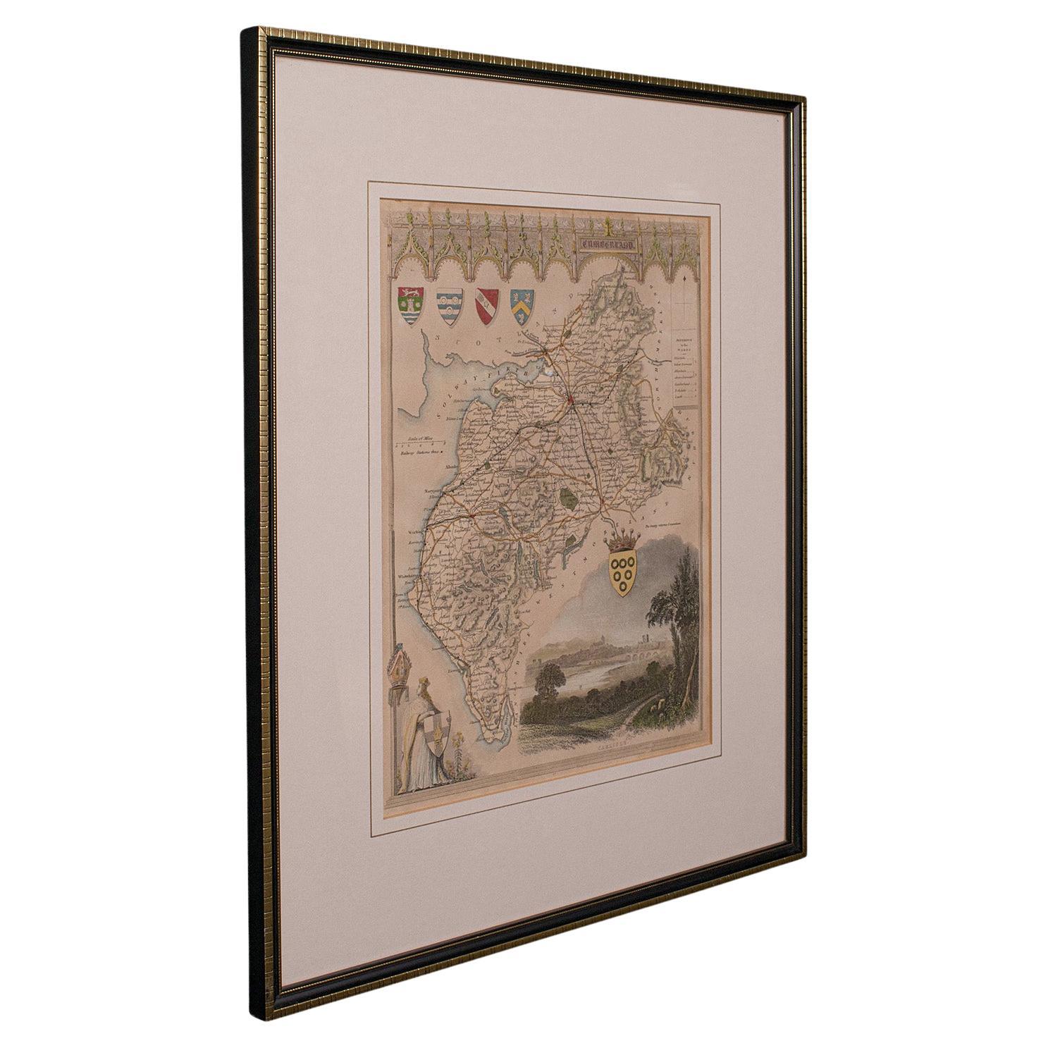
Antique Lithography Map, Isle of Wight, English, Framed, Engraving, Cartography
View Similar Items


Want more images or videos?
Request additional images or videos from the seller
1 of 11
Antique Lithography Map, Isle of Wight, English, Framed, Engraving, Cartography
About the Item
- Dimensions:Height: 13.59 in (34.5 cm)Width: 15.56 in (39.5 cm)Depth: 0.6 in (1.5 cm)
- Style:Regency (Of the Period)
- Materials and Techniques:
- Place of Origin:
- Period:
- Date of Manufacture:circa 1820
- Condition:Wear consistent with age and use. Presented in very good antique condition.
- Seller Location:Hele, Devon, GB
- Reference Number:Seller: 240191stDibs: LU2645338433132
About the Seller
5.0
Platinum Seller
Premium sellers with a 4.7+ rating and 24-hour response times
Established in 2005
1stDibs seller since 2017
995 sales on 1stDibs
Typical response time: 2 hours
Authenticity Guarantee
In the unlikely event there’s an issue with an item’s authenticity, contact us within 1 year for a full refund. DetailsMoney-Back Guarantee
If your item is not as described, is damaged in transit, or does not arrive, contact us within 7 days for a full refund. Details24-Hour Cancellation
You have a 24-hour grace period in which to reconsider your purchase, with no questions asked.Vetted Professional Sellers
Our world-class sellers must adhere to strict standards for service and quality, maintaining the integrity of our listings.Price-Match Guarantee
If you find that a seller listed the same item for a lower price elsewhere, we’ll match it.Trusted Global Delivery
Our best-in-class carrier network provides specialized shipping options worldwide, including custom delivery.More From This Seller
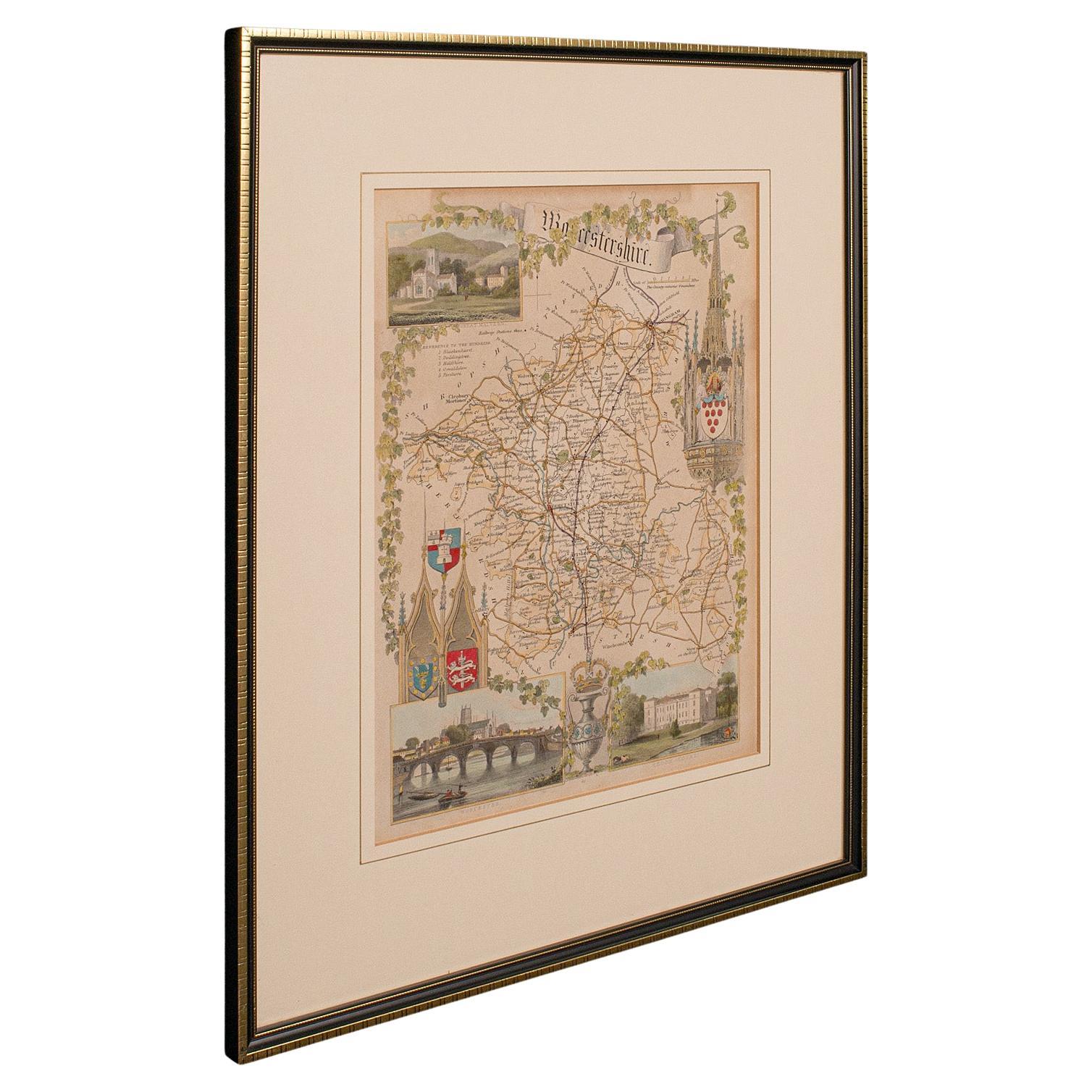
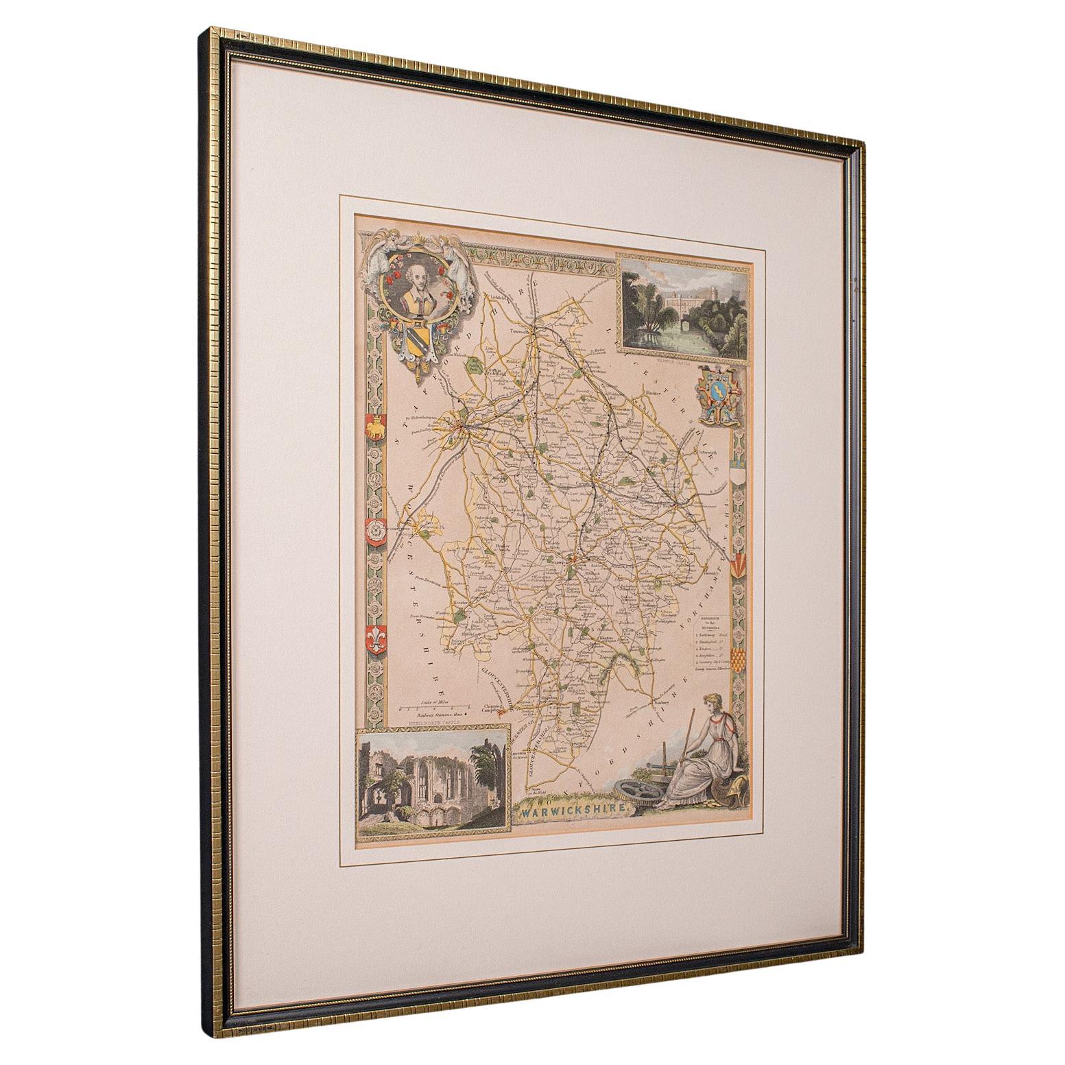
View AllAntique Lithography Map, Worcestershire, English, Framed Engraving, Cartography
Located in Hele, Devon, GB
This is an antique lithography map of Worcestershire. An English, framed atlas engraving of cartographic interest, dating to the early 19th centur...
Category
Antique Early 19th Century British Regency Maps
Materials
Wood

Antique Lithography Map, Gloucestershire, English, Framed Engraving, Cartography
Located in Hele, Devon, GB
This is an antique lithography map of Gloucestershire. An English, framed atlas engraving of cartographic interest, dating to the mid 19th century ...
Category
Antique Mid-19th Century British Victorian Maps
Materials
Wood

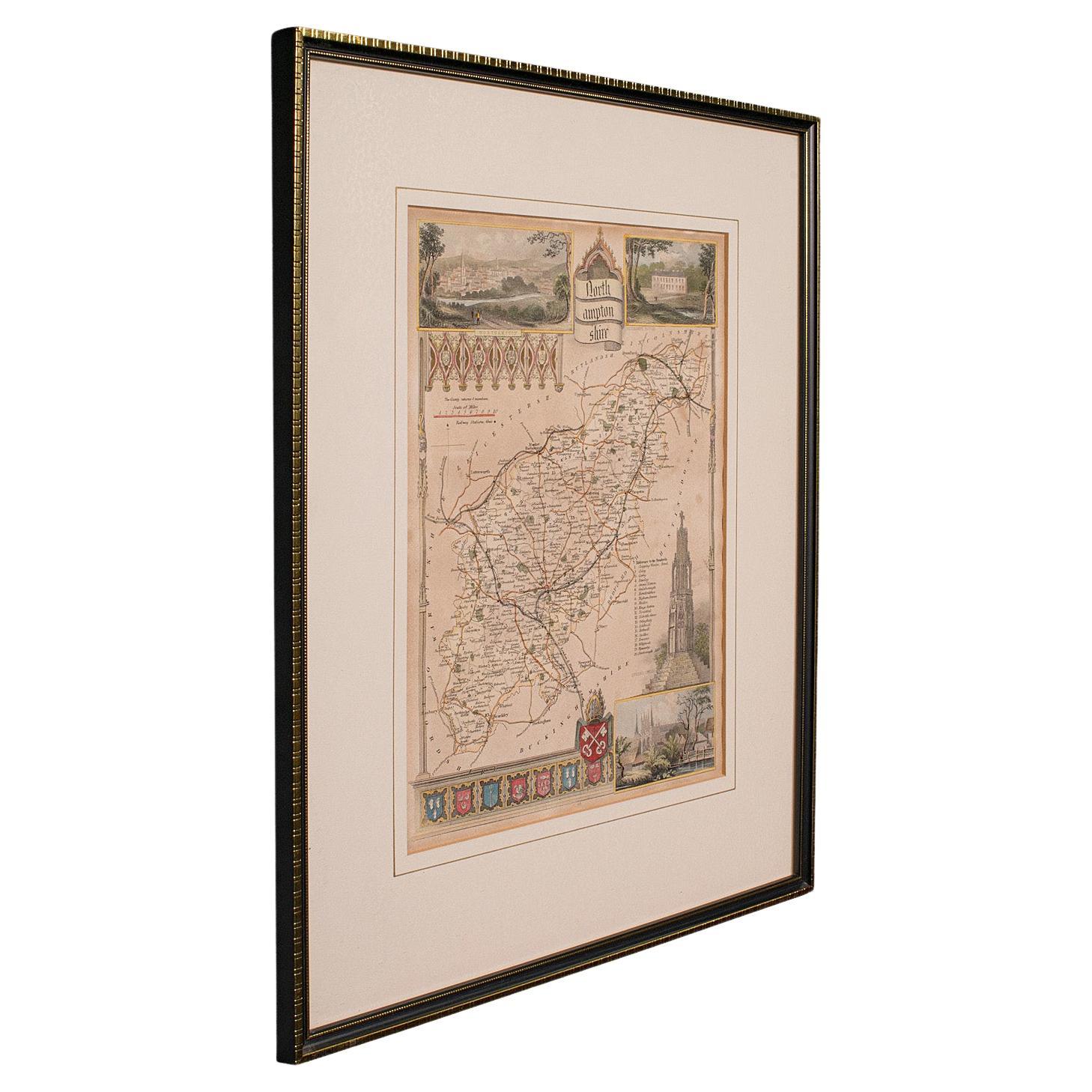
Antique Lithography Map, Northumberland, English, Framed, Engraving, Cartography
Located in Hele, Devon, GB
This is an antique lithography map of Northumberland. An English, framed atlas engraving of cartographic interest, dating to the mid 19th century a...
Category
Antique Mid-19th Century British Victorian Maps
Materials
Wood

Antique Lithography Map, Hertfordshire, English, Framed Engraving, Cartography
Located in Hele, Devon, GB
This is an antique lithography map of Hertfordshire. An English, framed atlas engraving of cartographic interest, dating to the mid 19th century an...
Category
Antique Mid-19th Century British Victorian Maps
Materials
Wood

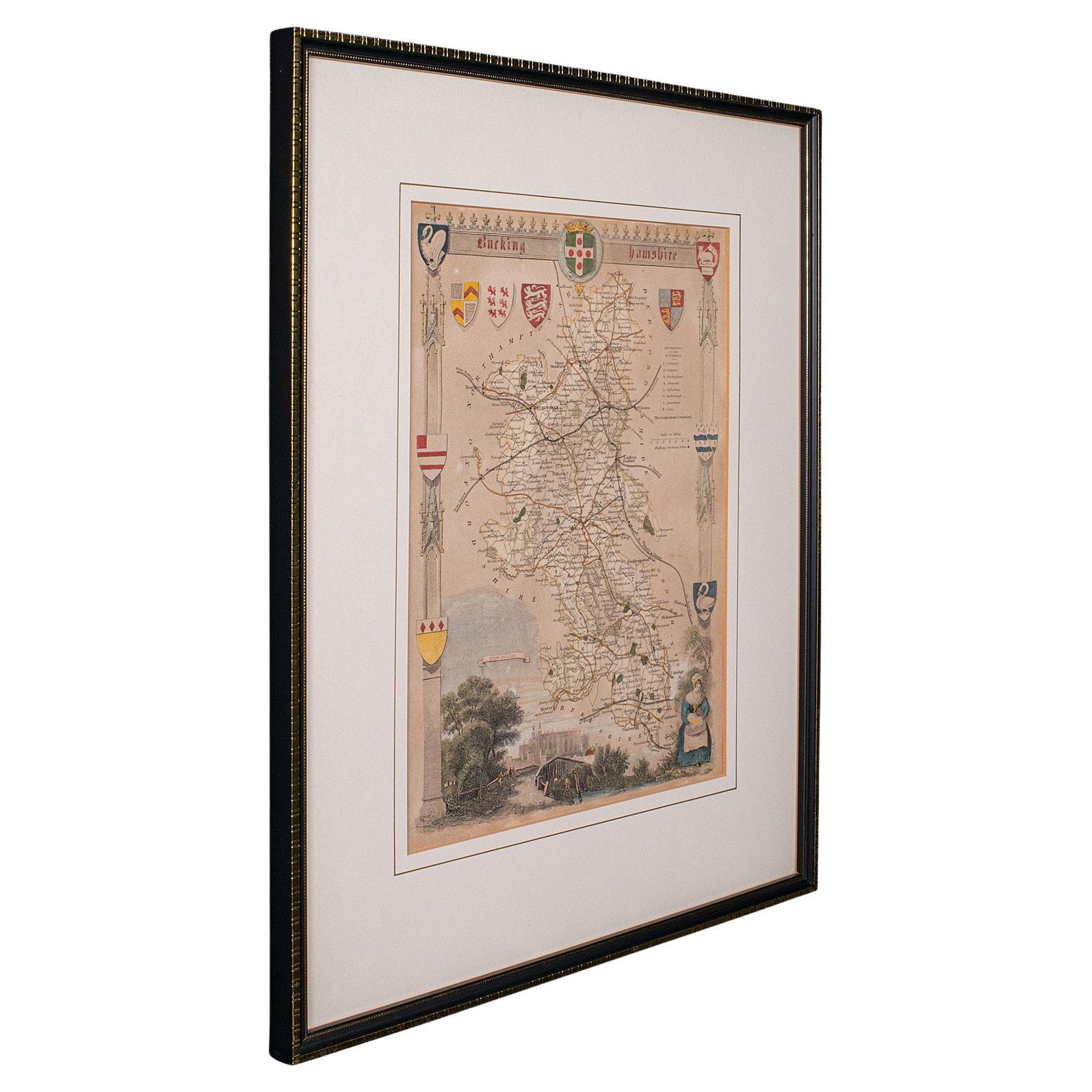
Antique Lithography Map, Bedfordshire, English, Framed Engraving, Cartography
Located in Hele, Devon, GB
This is an antique lithography map of Bedfordshire. An English, framed atlas engraving of cartographic interest, dating to the mid 19th century and...
Category
Antique Mid-19th Century British Victorian Maps
Materials
Wood

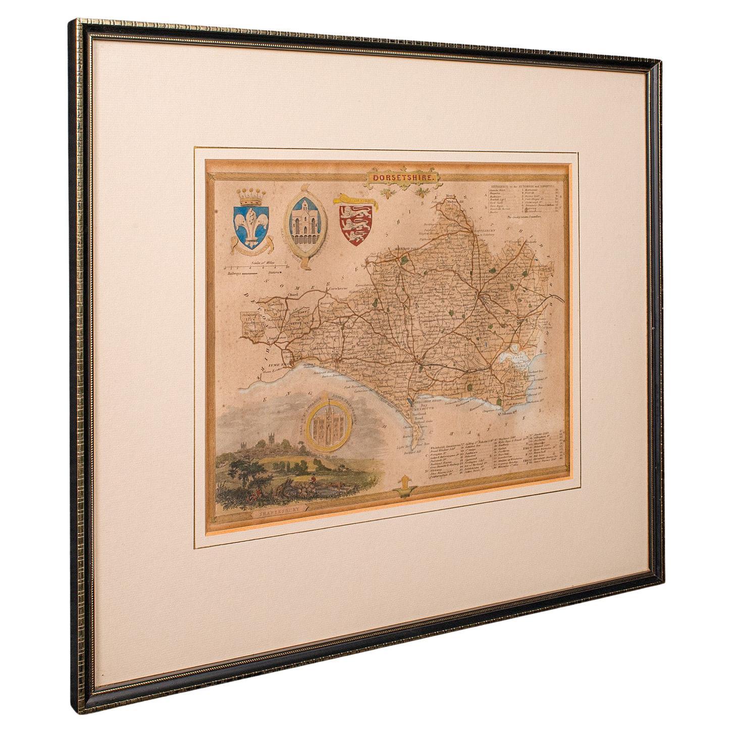
Antique County Map, Dorset, English, Framed Engraving, Cartography, Lithography
Located in Hele, Devon, GB
This is an antique lithography map of Dorset. An English, framed atlas engraving of cartographic interest, dating to the mid 19th century and later.
Superb lithography of Dorsetshi...
Category
Antique Mid-19th Century British Victorian Maps
Materials
Glass, Wood, Paper

You May Also Like
Cartographic Tapestry: Antique Map of Asia Minor, circa 1640
Located in Langweer, NL
Title: "Historical Tapestry: Antique Map of Asia Minor, circa 1640"
Description:
This authentic antique map, created by Willem Blaeu and published in Amsterdam circa 1640, is a capt...
Category
Antique Mid-17th Century Maps
Materials
Paper

$1,015 Sale Price
20% Off
1584 Ortelius Map of Switzerland: A Cartographic Reversal
Located in Langweer, NL
This is a fine example of Ortelius' map of Switzerland from his *Theatrum Orbis Terrarum*, recognized as the first modern atlas of the world. The map is oriented with south at the top, which reverses the typical north-up orientation seen in most modern maps. It highlights significant geographical features such as Lake Geneva (Lemanus Lacus) to the right of the map and the Rhine river entering Switzerland near the center.
The *Theatrum Orbis Terrarum*, first published in 1570 by Abraham Ortelius in Antwerp, was groundbreaking as it compiled uniform maps with supporting text in a single volume, marking a departure from earlier collections of maps that were custom-assembled on demand. This atlas included a wealth of sixteenth-century cartographic knowledge, reflecting the extensive global explorations occurring after the discovery of America...
Category
Antique 16th Century Maps
Materials
Paper
$888 Sale Price
30% Off
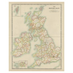
Antique Map of the British Isles by Johnston '1909'
Located in Langweer, NL
Antique map titled 'The British Isles'. Original antique map of the British Isles. With inset maps of the Shetland Islands, Chanel Islands, and London. T...
Category
Early 20th Century Maps
Materials
Paper
Antique Map of the British Isles by Delamarche, 1806
Located in Langweer, NL
Antique map titled 'Les Isles Britanniques.' Decorative map of the British Isles by Robert de Vaugondy, revised and published by Delamarche. Source unkno...
Category
Antique 19th Century Maps
Materials
Paper

Antique Map of the British Isles by Balbi '1847'
Located in Langweer, NL
Antique map titled 'Iles Britanniques'. Original antique map of the British Isles. This map originates from 'Abrégé de Géographie (..)' by Adrien Balbi. ...
Category
Antique Mid-19th Century Maps
Materials
Paper

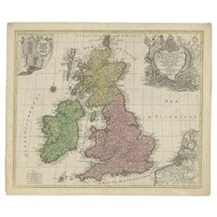
Antique Map of the British Isles by Lotter, 1764
Located in Langweer, NL
Antique map titled 'Le Grand Bretagne ou les Royaumes d'Angleterre et d'Ecosse'. Old engraved map of the British Isles (main islands United Kingdom & Ire...
Category
Antique 18th Century Maps
Materials
Paper
Recently Viewed
View AllMore Ways To Browse
19th Century Carpet Bag
3 Piece Sterling Silver Tea Set
48 Round Coffee Table
7 Foot Sofa
Antique Cherry Chair
Antique Mason Plates
Antique Measuring Jugs
Antique Red Trunk
Antique Table 4 Drawers
Antique Work Stool
Antique Yolk
Art Nouveau Silver Overlay
Axe Table
Ball And Claw Chippendale Chair
Baroque Writing Desk
Beautiful Ladies Paintings
Beech Folding Chair
Belgian Stone Top Tables