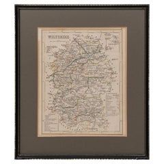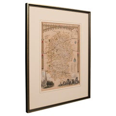
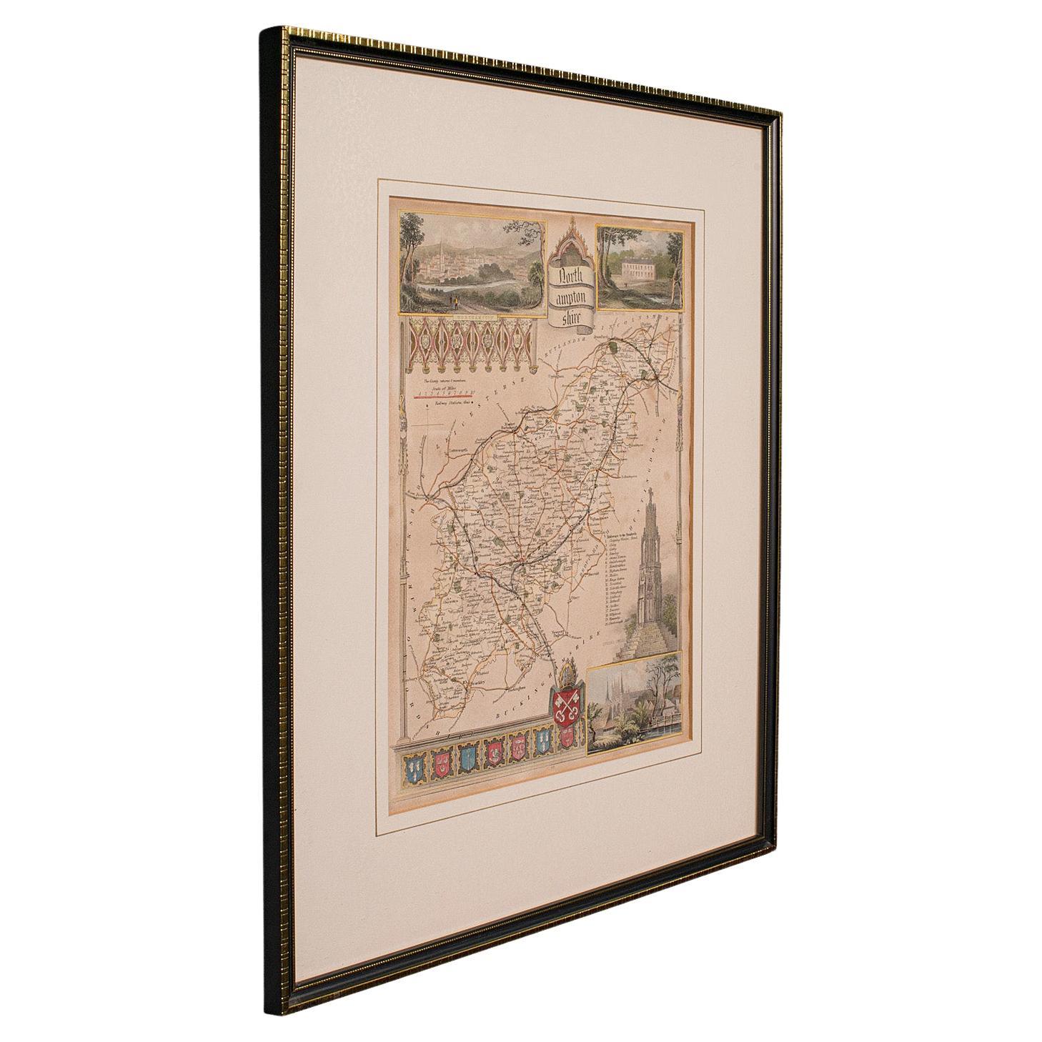
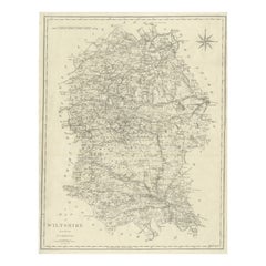
Antique Lithography Map, Wiltshire, English, Framed Engraving, Cartography
View Similar Items


Want more images or videos?
Request additional images or videos from the seller
1 of 11
Antique Lithography Map, Wiltshire, English, Framed Engraving, Cartography
About the Item
- Dimensions:Height: 15.95 in (40.5 cm)Width: 13.19 in (33.5 cm)Depth: 0.6 in (1.5 cm)
- Style:Regency (Of the Period)
- Materials and Techniques:
- Place of Origin:
- Period:
- Date of Manufacture:circa 1800
- Condition:Wear consistent with age and use. Presented in very good antique condition.
- Seller Location:Hele, Devon, GB
- Reference Number:Seller: 240091stDibs: LU2645338433372
About the Seller
5.0
Platinum Seller
These expertly vetted sellers are 1stDibs' most experienced sellers and are rated highest by our customers.
Established in 2005
1stDibs seller since 2017
833 sales on 1stDibs
Typical response time: 1 hour
More From This SellerView All
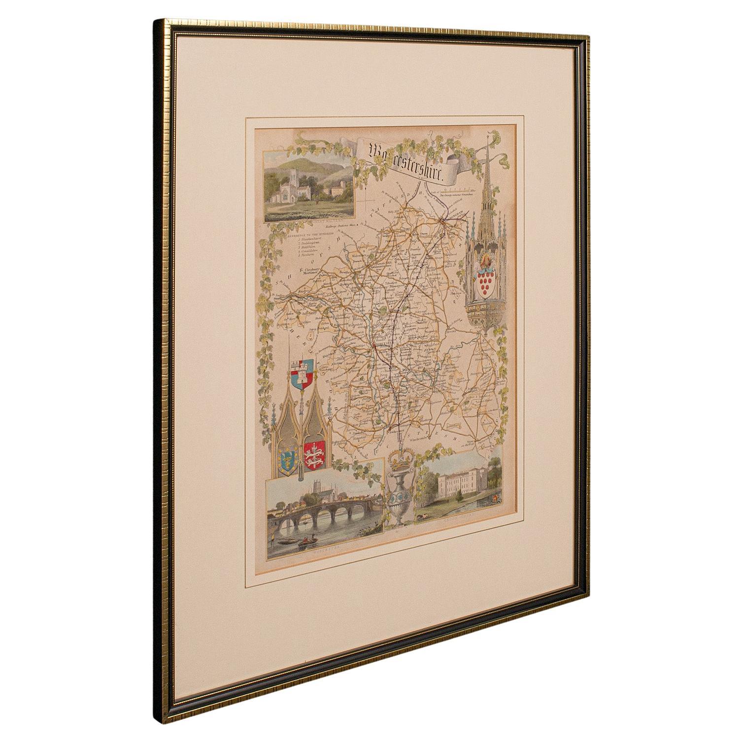
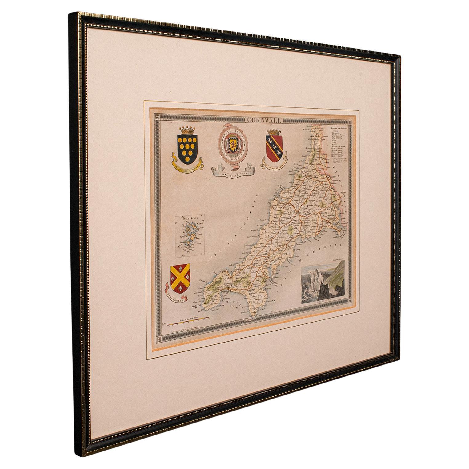
- Antique Lithography Map, Worcestershire, English, Framed Engraving, CartographyLocated in Hele, Devon, GBThis is an antique lithography map of Worcestershire. An English, framed atlas engraving of cartographic interest, dating to the early 19th centur...Category
Antique Early 19th Century British Regency Maps
MaterialsWood
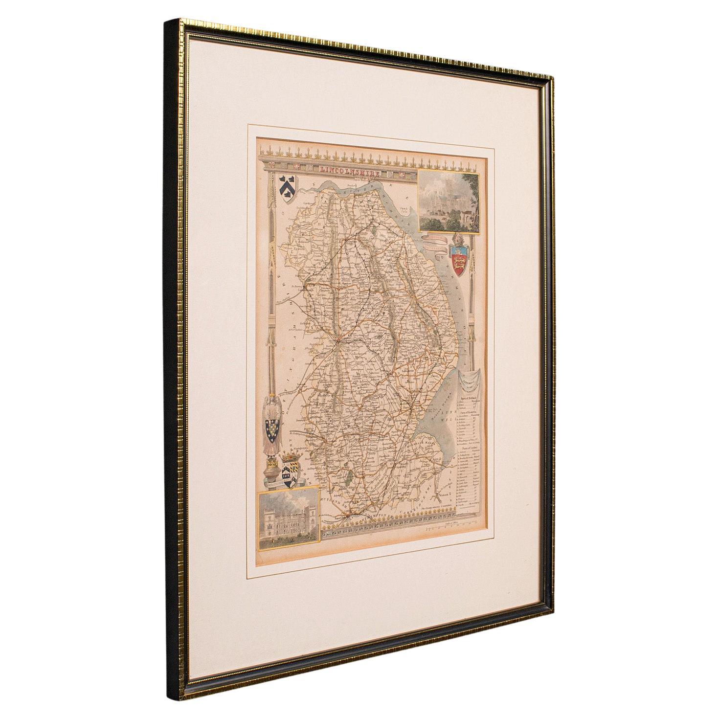
- Antique Lithography Map, Lincolnshire, English, Framed, Engraving, CartographyLocated in Hele, Devon, GBThis is an antique lithography map of Lincolnshire. An English, framed atlas engraving of cartographic interest, dating to the mid 19th century and...Category
Antique Mid-19th Century British Victorian Maps
MaterialsWood
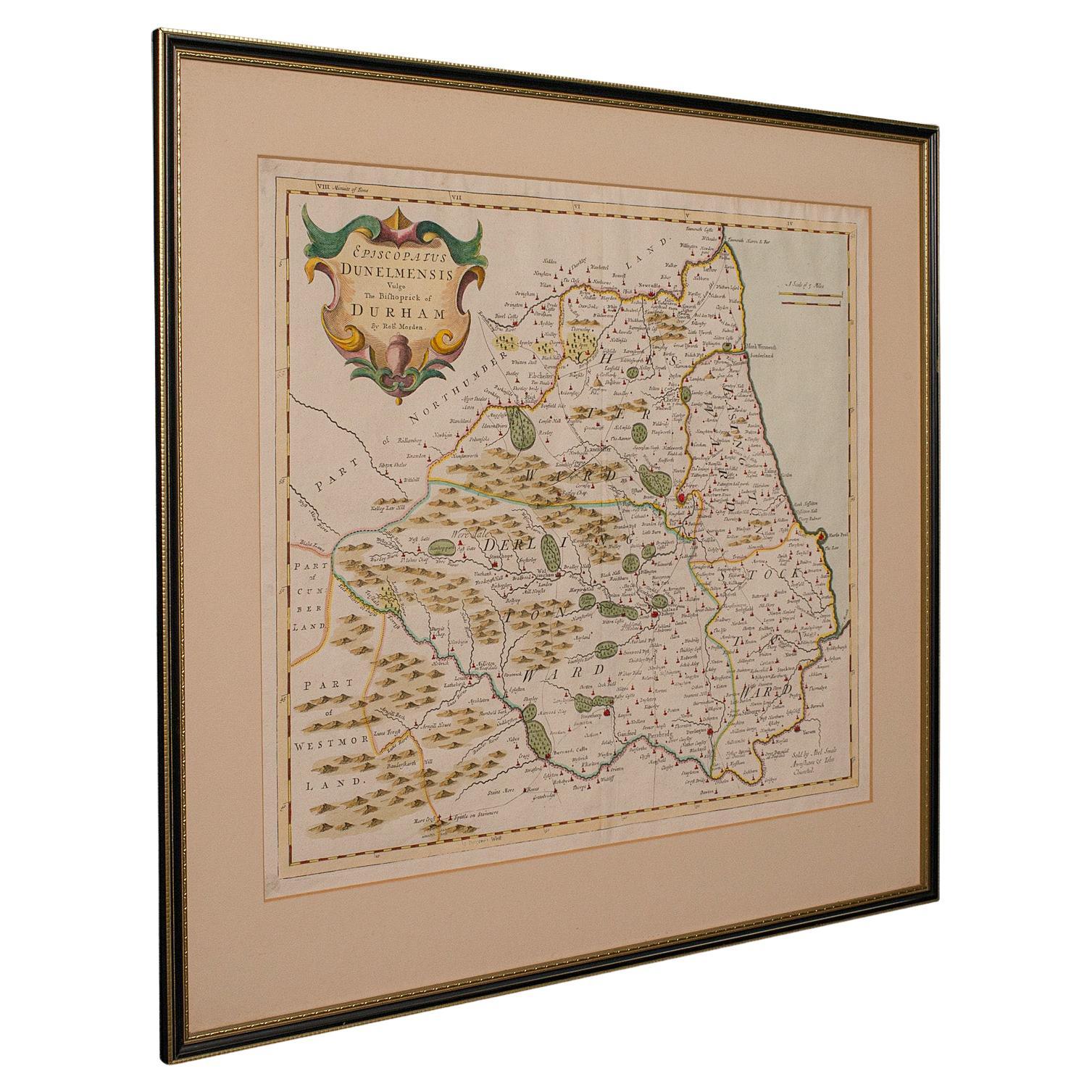
- Antique Lithography Map, Northumberland, English, Framed, Engraving, CartographyLocated in Hele, Devon, GBThis is an antique lithography map of Northumberland. An English, framed atlas engraving of cartographic interest, dating to the mid 19th century a...Category
Antique Mid-19th Century British Victorian Maps
MaterialsWood
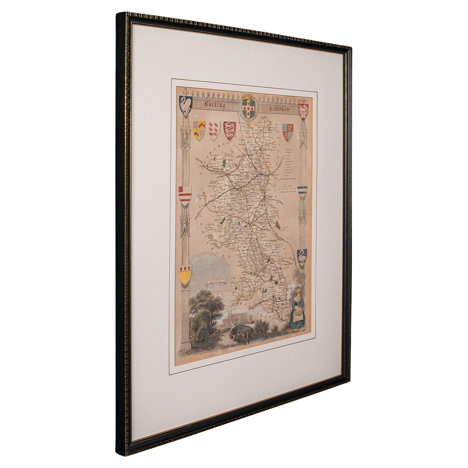
- Antique Lithography Map, Bedfordshire, English, Framed Engraving, CartographyLocated in Hele, Devon, GBThis is an antique lithography map of Bedfordshire. An English, framed atlas engraving of cartographic interest, dating to the mid 19th century and...Category
Antique Mid-19th Century British Victorian Maps
MaterialsWood
- Antique Lithography Map, Hertfordshire, English, Framed Engraving, CartographyLocated in Hele, Devon, GBThis is an antique lithography map of Hertfordshire. An English, framed atlas engraving of cartographic interest, dating to the mid 19th century an...Category
Antique Mid-19th Century British Victorian Maps
MaterialsWood
- Antique Lithography Map, Gloucestershire, English, Framed Engraving, CartographyLocated in Hele, Devon, GBThis is an antique lithography map of Gloucestershire. An English, framed atlas engraving of cartographic interest, dating to the mid 19th century ...Category
Antique Mid-19th Century British Victorian Maps
MaterialsWood


You May Also Like
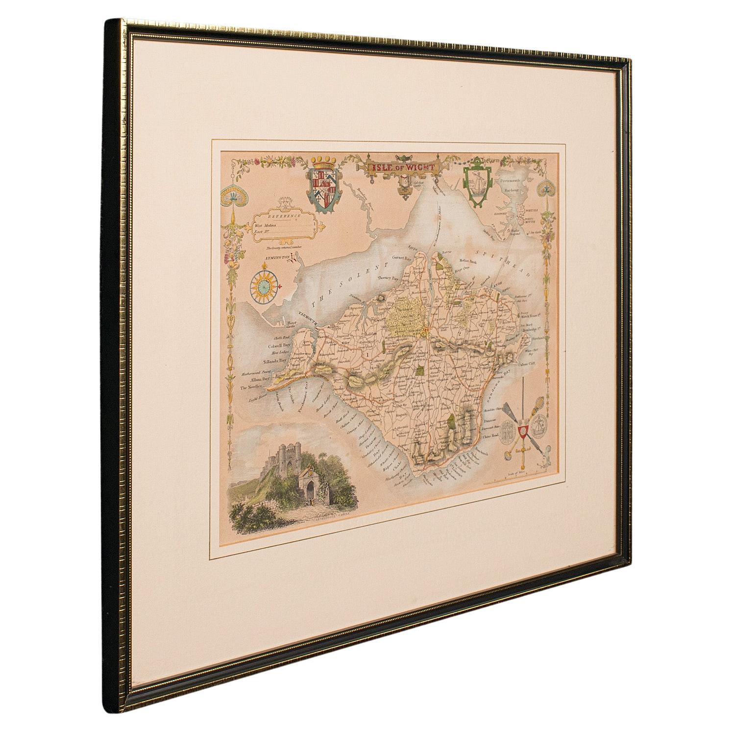
- Large Antique County Map of Wiltshire, England, 1805Located in Langweer, NLAntique map titled 'A Map of Wiltshire from the best Authorities'. Original old county map of Wiltshire, England. Engraved by John Cary. Originates from 'New British Atlas' by John S...Category
Antique Early 19th Century Maps
MaterialsPaper
- Cartographic Tapestry: Antique Map of Asia Minor, circa 1640Located in Langweer, NLTitle: "Historical Tapestry: Antique Map of Asia Minor, circa 1640" Description: This authentic antique map, created by Willem Blaeu and published in Amsterdam circa 1640, is a capt...Category
Antique Mid-17th Century Maps
MaterialsPaper
 $839 Sale Price30% Off
 - Map Wiltshire Joshua Archer Pentonville London framed 35cm 14" highLocated in BUNGAY, SUFFOLKMap of Wiltshire Drawn & Engraved by Joshua Archer Pentonville London Window Parts of Wiltshire in Berkshire Explanation of Salisbury County DivisionsCategory
Antique 19th Century English Georgian Maps
MaterialsPaper
- Cartographic Elegance of the Mughal Dominion in a Hand-Colored Antique Map, 1705Located in Langweer, NLThis original antique map titled “'T Ryk van den Grooten Mogol” by Nicolas Sanson from 1705 is an interesting historical artifact. It depicts the extent of the Mughal Empire in North...Category
Antique Early 1700s Maps
MaterialsPaper
- Burgundy's Viticultural Landscape: A 1640 Cartographic Engraving by Willem BlaeuLocated in Langweer, NLAn hand-colored original antique map with the title "Utriusque Burgundiae tum Ducatus tum Comitatus Descriptio," which translates to "A Description of Both Burgundies, both the Duchy...Category
Antique 1640s Maps
MaterialsPaper
- Matthaus Seutter, Framed 1730 Color Engraving Map of "Belgium Fonderatum"Located in Bridgeport, CTLabel on verso. From Grosser Atlas. The name Belgium comes from the ancient designation "Gallis Belgica". Figural decoration upper left. M. Seutter was a famed German mapmaker in the...Category
Antique 18th Century European Renaissance Maps
MaterialsBrass