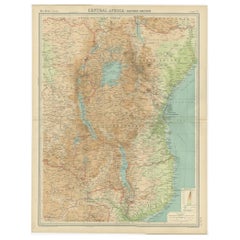
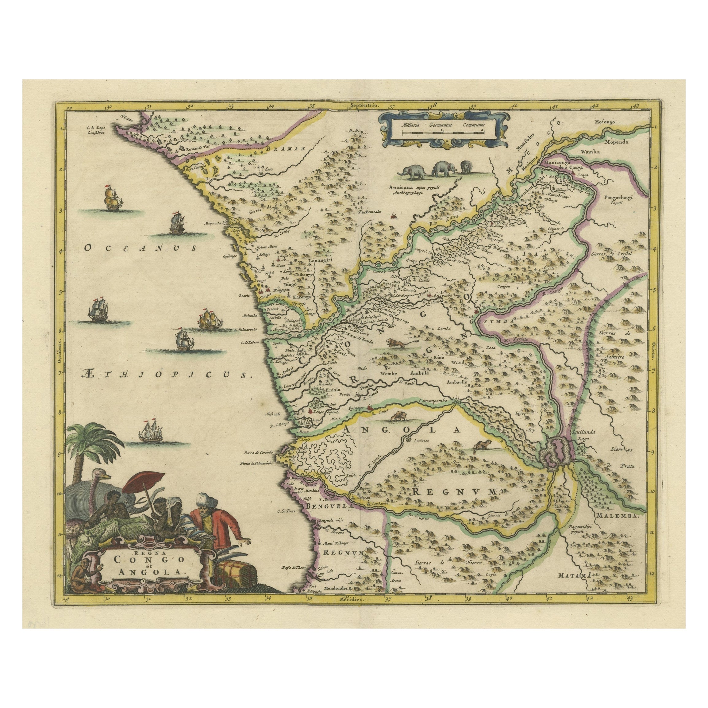
Antique Map of Central Africa 'East' Depicting Belgian Congo, Kenya etc, 1922
View Similar Items


Want more images or videos?
Request additional images or videos from the seller
1 of 5
Antique Map of Central Africa 'East' Depicting Belgian Congo, Kenya etc, 1922
About the Item
- Dimensions:Height: 23.23 in (59 cm)Width: 17.92 in (45.5 cm)Depth: 0 in (0.01 mm)
- Materials and Techniques:
- Period:
- Date of Manufacture:1922
- Condition:
- Seller Location:Langweer, NL
- Reference Number:Seller: BG-11805-31stDibs: LU3054326164172
About the Seller
5.0
Platinum Seller
These expertly vetted sellers are 1stDibs' most experienced sellers and are rated highest by our customers.
Established in 2009
1stDibs seller since 2017
1,947 sales on 1stDibs
More From This SellerView All
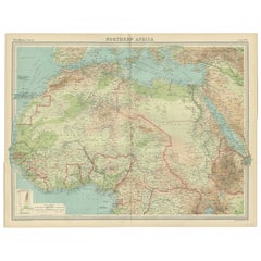
- Old Map of North Africa Depicting Libya, Morocco, Algeria, Tunis Etc, 1922Located in Langweer, NLAntique map of Africa titled 'Northern Africa'. Old map of North Africa depicting Libya, Morocco, Algeria, Tunis and surroundings. This map originates from 'The Times' atlas. ...Category
Vintage 1920s Maps
MaterialsPaper
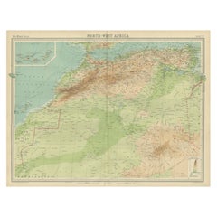
- Antique Map of Northwest Africa by Bartholomew, 1922Located in Langweer, NLAntique map of Africa titled 'North-West Africa'. Old map of north-west Africa depicting Morocco, Algeria, Tunis and surroundings. This map originates from 'The Times' atlas. Artists...Category
20th Century Maps
MaterialsPaper
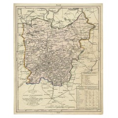
- Antique Map of East Flanders, Belgium, c.1840Located in Langweer, NLAntique map titled 'Kaart van Oost Vlaanderen'. Original antique map of East Flanders, Belgium. Source unkown, to be determined. Published circa 1840. Artists and Engravers: Engr...Category
Antique 19th Century Maps
MaterialsPaper
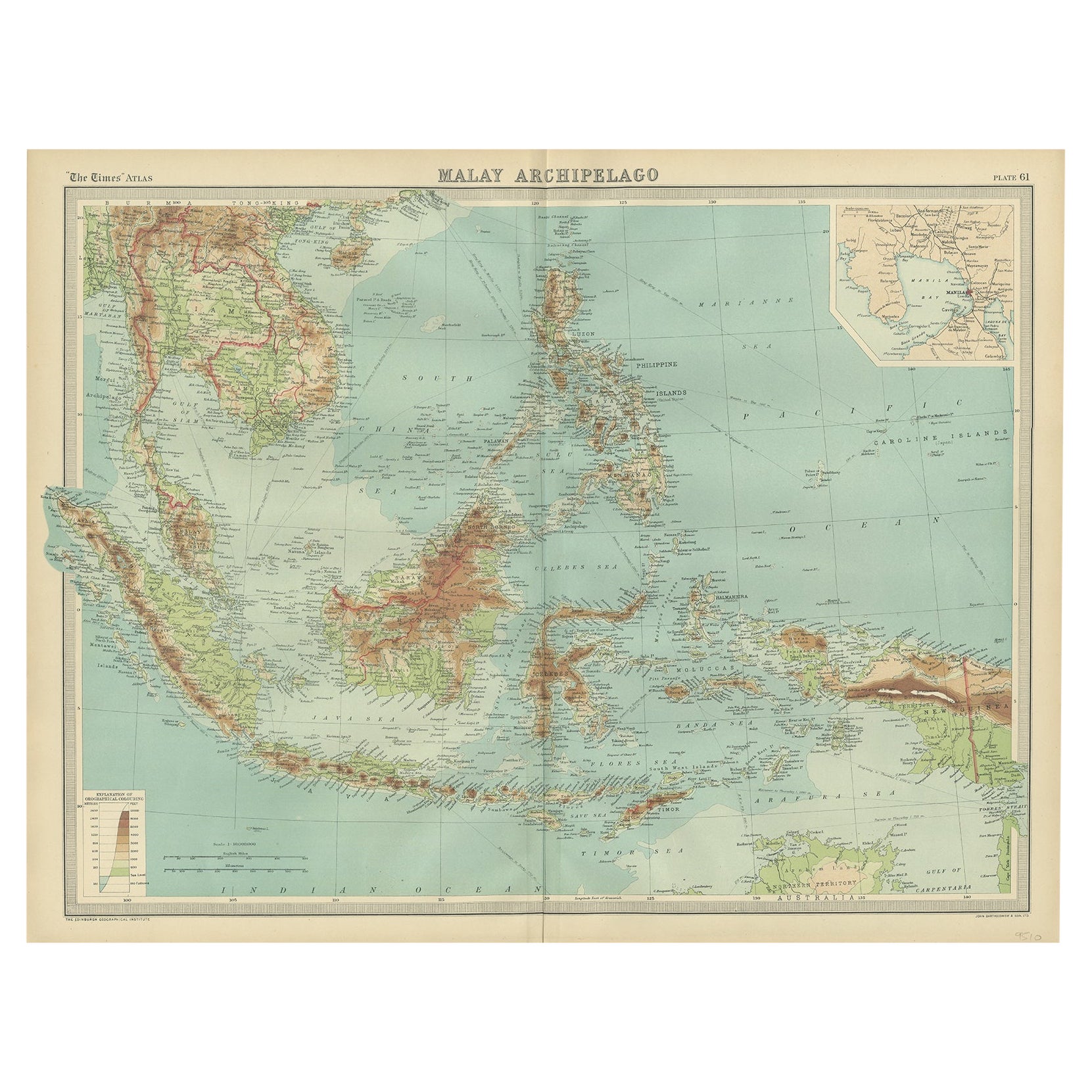
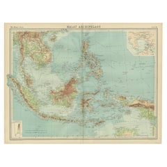
- Old Map of South East Asia Showing the Malay Archipelago, incl Borneo etc, 1922Located in Langweer, NLAntique map of South East Asia titled 'Malay Archipelago'. Old map of South East Asia depicting the Malay Archipelago including Sumatra, Java...Category
Vintage 1920s Maps
MaterialsPaper
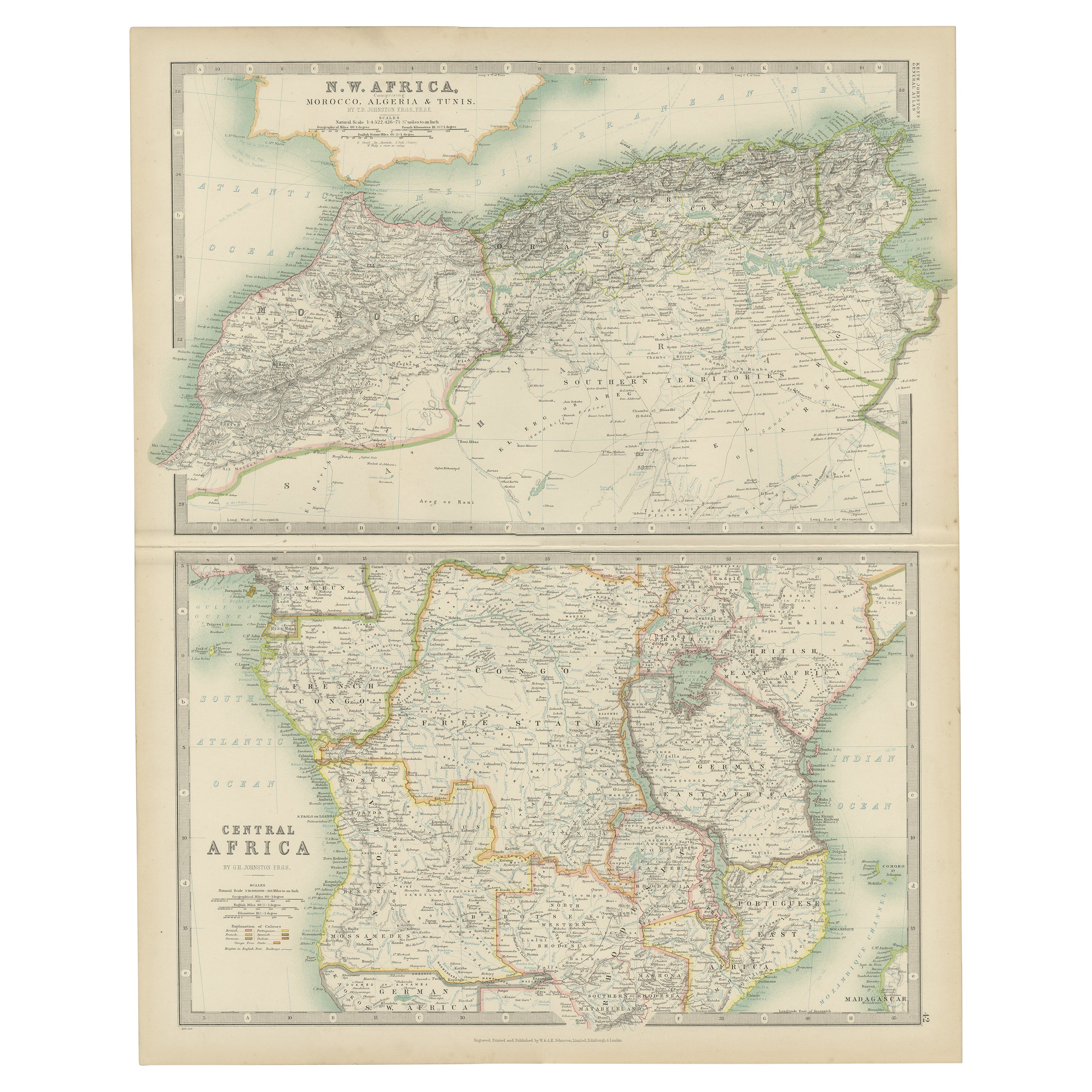
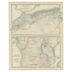
- Antique Map of N.W. Africa & Central Africa by Johnston (1909)Located in Langweer, NLAntique map titled 'N.W. Africa & Central Africa'. Original antique map of N.W. Africa & Central Africa. This map originates from the ‘Royal Atlas of Modern Geography’. Published by ...Category
Early 20th Century Maps
MaterialsPaper
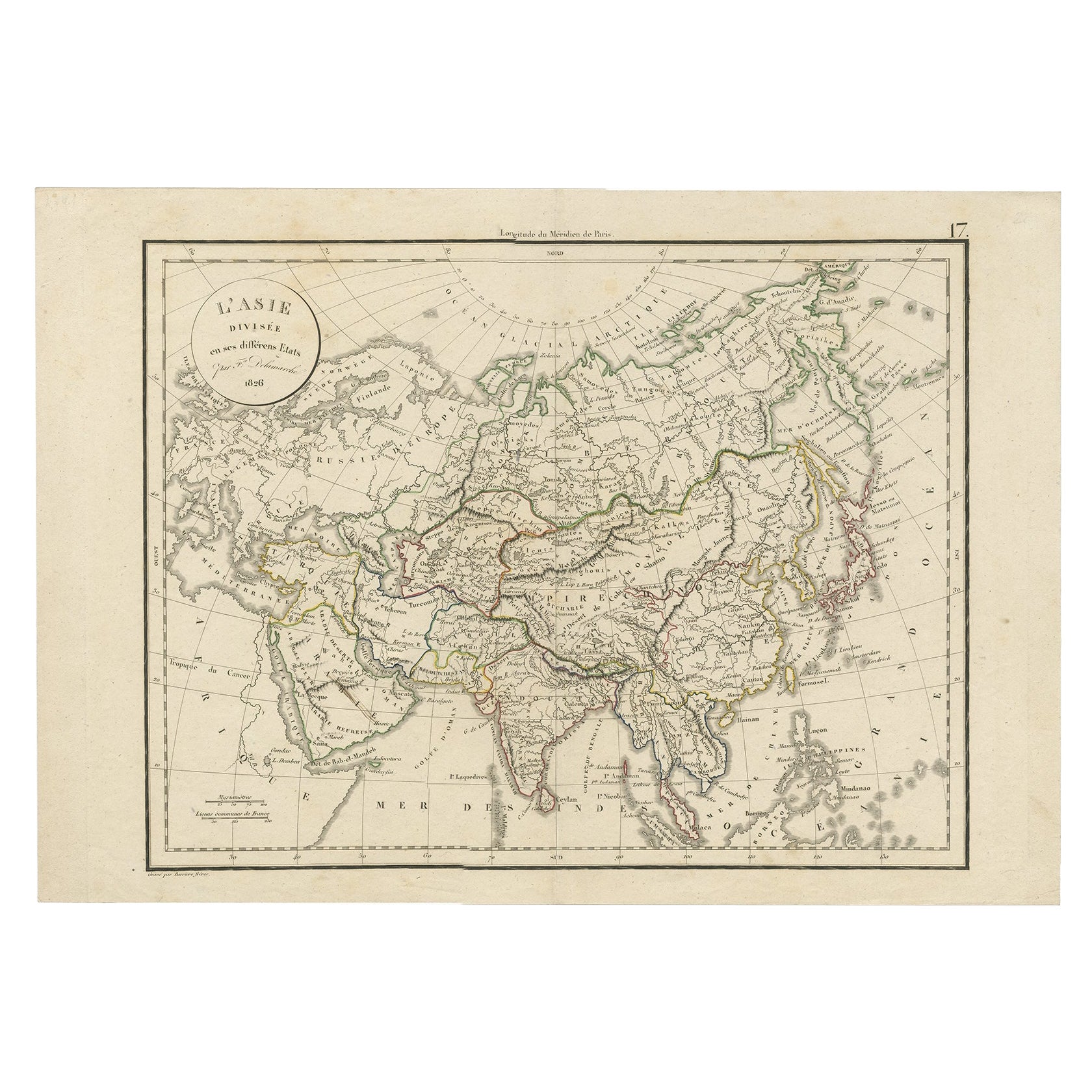
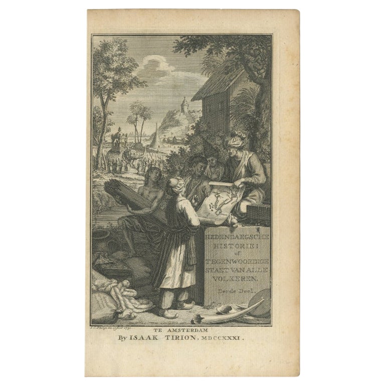
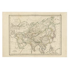
- Antique Map of Asia by Delamarche, 1826Located in Langweer, NLVaugondy's map plates and copyrights and later addes many plates from other sources as well. Charles Delamarche eventually passed control of the firm to his son Felix Delamarche (18t...Category
Antique 19th Century Maps
MaterialsPaper
You May Also Like
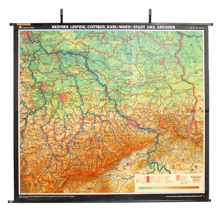
- East German MapBy VEB Hermann HaackLocated in Baltimore, MDA brilliantly colourful map of the Leipzig, Karl Marx Stadt and Dresden area in the former German Democratic Republic by VEB Hermann Haack of Gotha.Category
Vintage 1970s German Maps
 $295 Sale Price25% Off
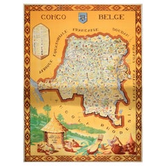
 - Original Vintage Africa Travel Poster Belgian Congo Congo Belge Illustrated MapLocated in London, GBOriginal vintage Africa travel poster for the Belgian Congo / Congo Belge including a pictorial map of French Equatorial Africa, Sudan, Uganda, Tanganyika, Rhodesia and Angola. Desig...Category
Vintage 1940s Belgian Posters
MaterialsPaper
- Large University Chart “Physical Map of Africa” by BaconLocated in Chillerton, Isle of WightLarge university chart “Physical Map of Africa” by Bacon W&A K Johnston’s Charts of Physical Maps By G W Bacon, This is colorful Physical map of North America, it is large lithograph set...Category
Early 20th Century Folk Art Posters
MaterialsLinen
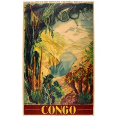
- Original Vintage Africa Travel Poster Belgian Congo Leopoldville Kinshasa ZaireBy Jean van NotenLocated in London, GBOriginal vintage Africa travel poster for the Congo issued by the Belgian Colonial Tourist Office / Office du Tourisme Colonial Belge featuring artwork by Jean van Noten...Category
Vintage 1930s Belgian Posters
MaterialsPaper
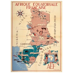
- Original Vintage Poster French Equatorial Africa Map Afrique Chad Congo FrancaisLocated in London, GBOriginal vintage pictorial map poster of French Equatorial Africa / Afrique Equatoriale Francaise featuring and illustrated design by J. Choain A...Category
Vintage 1950s French Posters
MaterialsPaper
- London 1744 Published Watercolour Antique Map of East Africa by Eman BowenLocated in GBWe are delighted to offer for sale this New and Accurate Map of Nubia & Abissinia, together with all the Kingdoms Tributary Thereto, and bordering upon them published in 1744 by Emanuel Bowen This is a decorative antique engraved map of East Africa...Category
Antique 1740s English George III Maps
MaterialsPaper
 $849 Sale Price30% Off

Recently Viewed
View AllMore Ways To Browse
Eastern King
Vintage Furniture Kenya
Old Colony Furniture
East Africa Map
Map Holder
Map Antarctica
Kenya Map
Vintage Map Holder
Vintage Bartholomew Maps
Vintage Bartholomews Maps
Antique Furniture Long Island
Antique Map London
Antique London Maps
Antique London Map
London Antique Maps
London Antique Map
London Map Antique
Antique Maps London