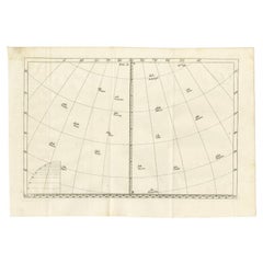
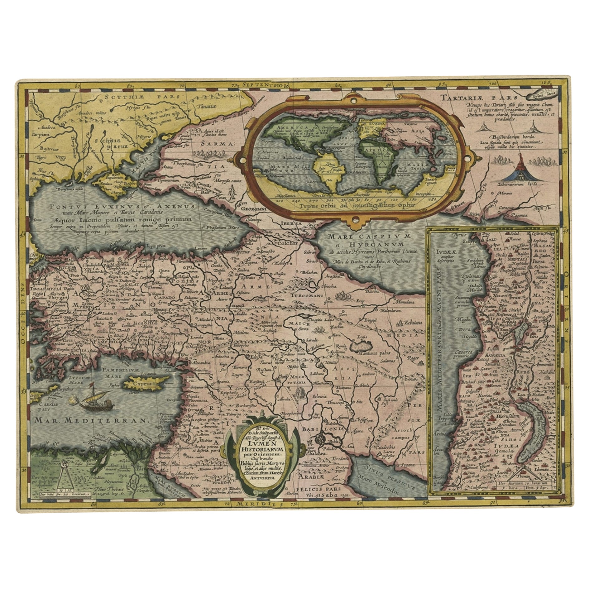
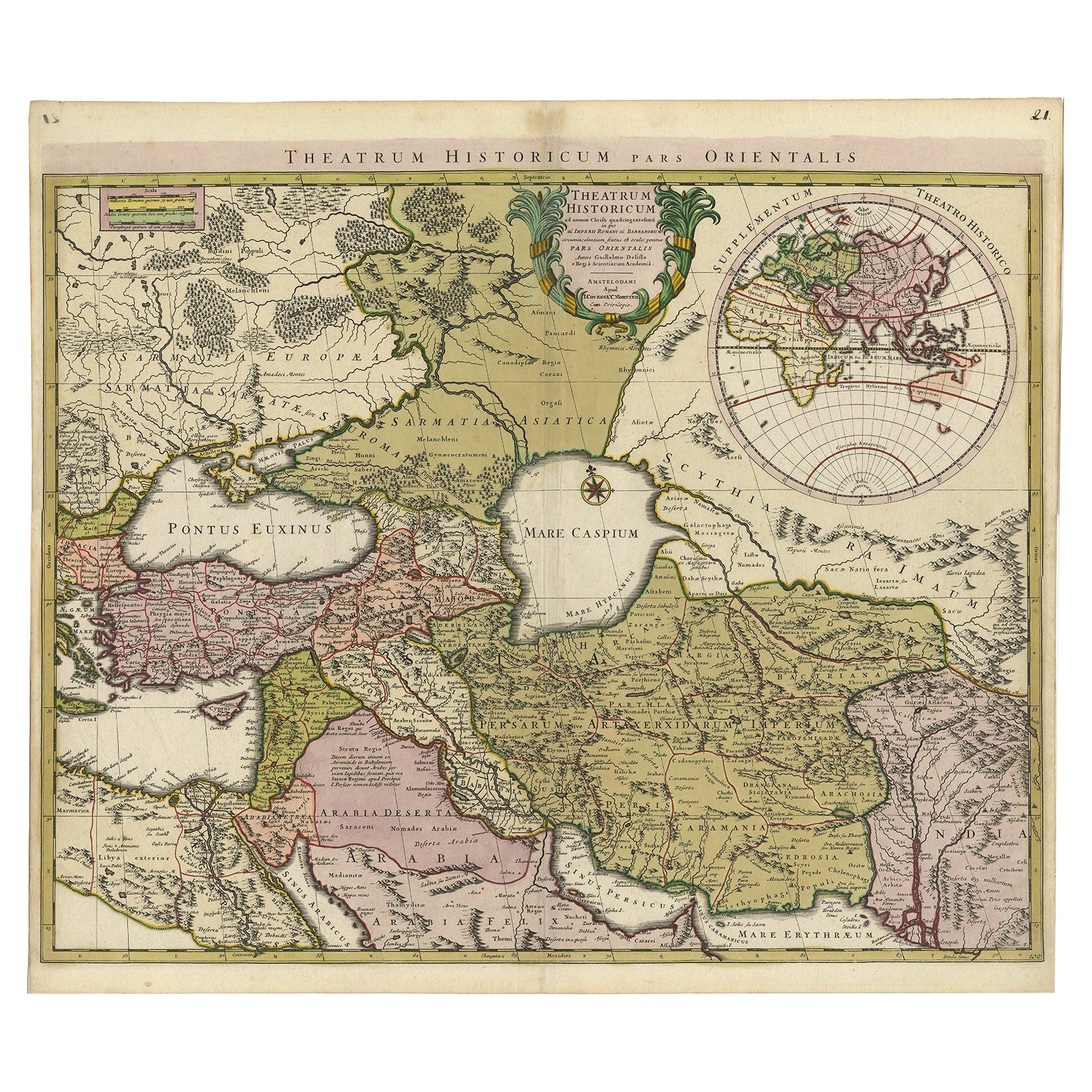
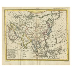
Antique Map of Europe and the Middle East with Many Cities Positioned, c.1703
View Similar Items


Want more images or videos?
Request additional images or videos from the seller
1 of 5
Antique Map of Europe and the Middle East with Many Cities Positioned, c.1703
About the Item
- Dimensions:Height: 10.75 in (27.3 cm)Width: 15.52 in (39.4 cm)Depth: 0 in (0.01 mm)
- Materials and Techniques:
- Period:
- Date of Manufacture:circa 1703
- Condition:
- Seller Location:Langweer, NL
- Reference Number:Seller: BGI-005991stDibs: LU3054326173192
About the Seller
5.0
Platinum Seller
These expertly vetted sellers are 1stDibs' most experienced sellers and are rated highest by our customers.
Established in 2009
1stDibs seller since 2017
1,933 sales on 1stDibs
More From This SellerView All
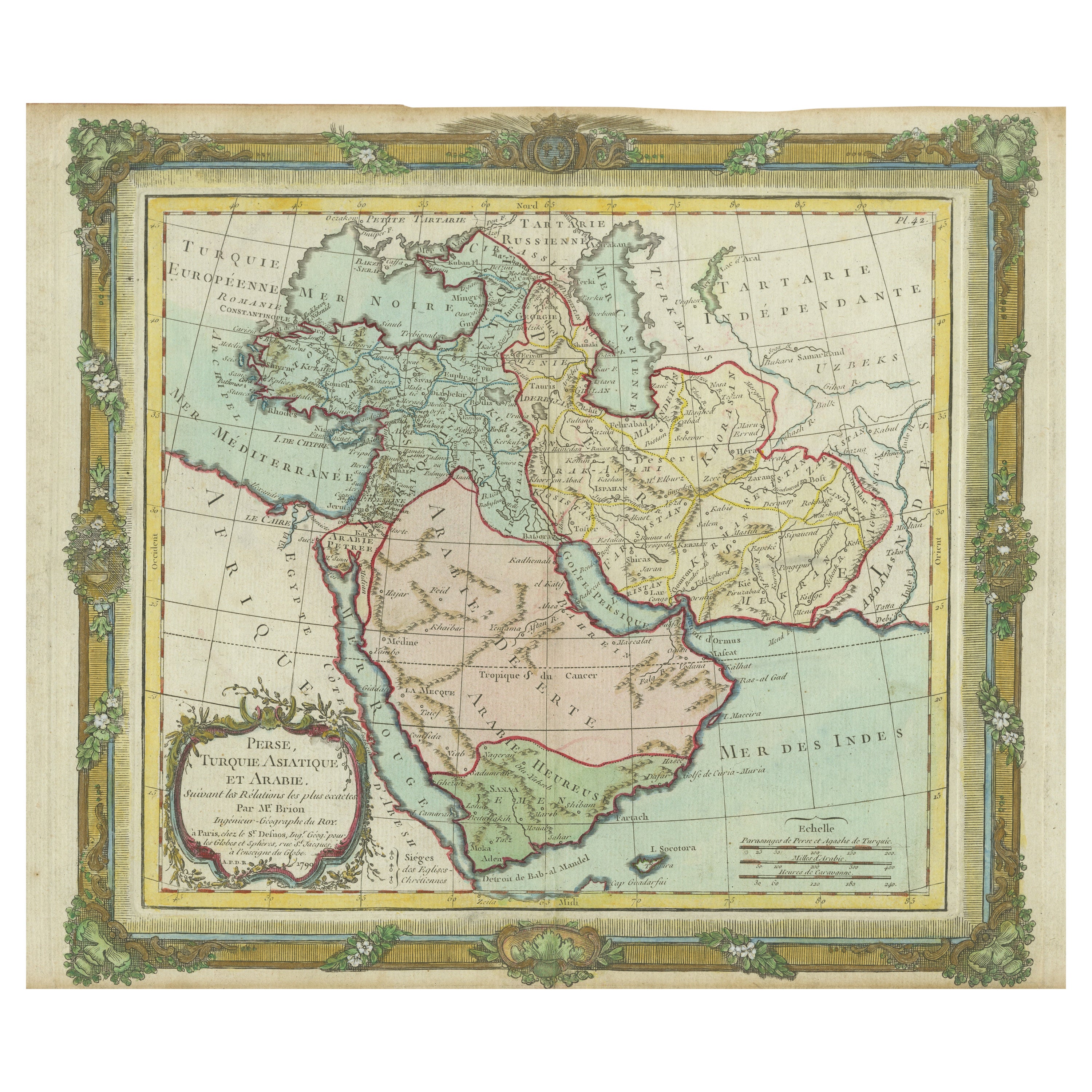
- Antique Map of the Middle East with a Large Arabia, 1799Located in Langweer, NLAntique map titled 'Perse, Turquie Asiatique et Arabie (..)'. Map of the Middle East with a large Arabia, extending from the Black Sea to the In...Category
Antique Late 18th Century Maps
MaterialsPaper
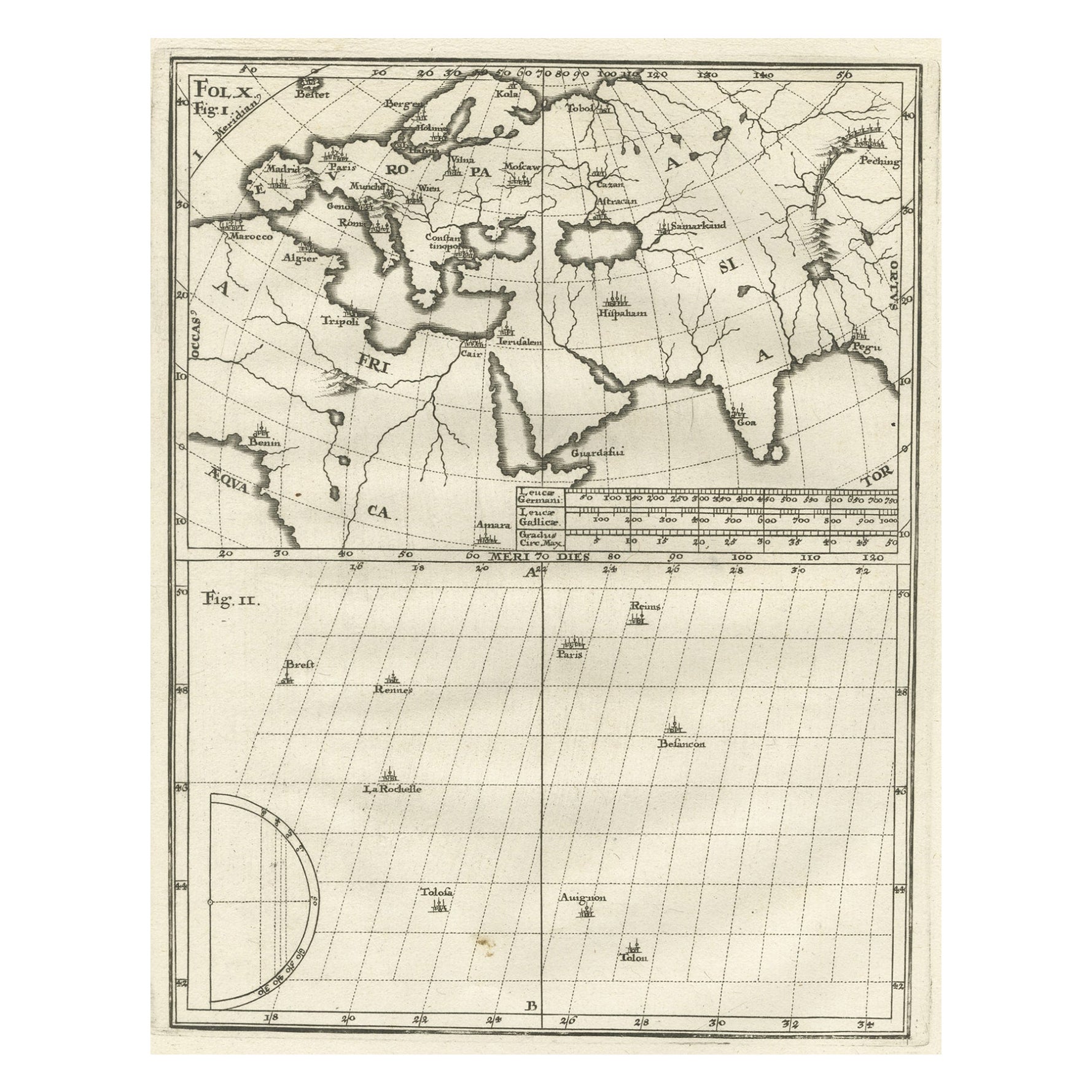
- Rare Antique Map of the Middle East, ca.1690Located in Langweer, NLDescription: Antique print, untitled. Two decorative maps on one sheet of the middle east in biblical times. Source unknown, to be determined. Artists and Engravers: Anonymous...Category
Antique 1690s Prints
MaterialsPaper
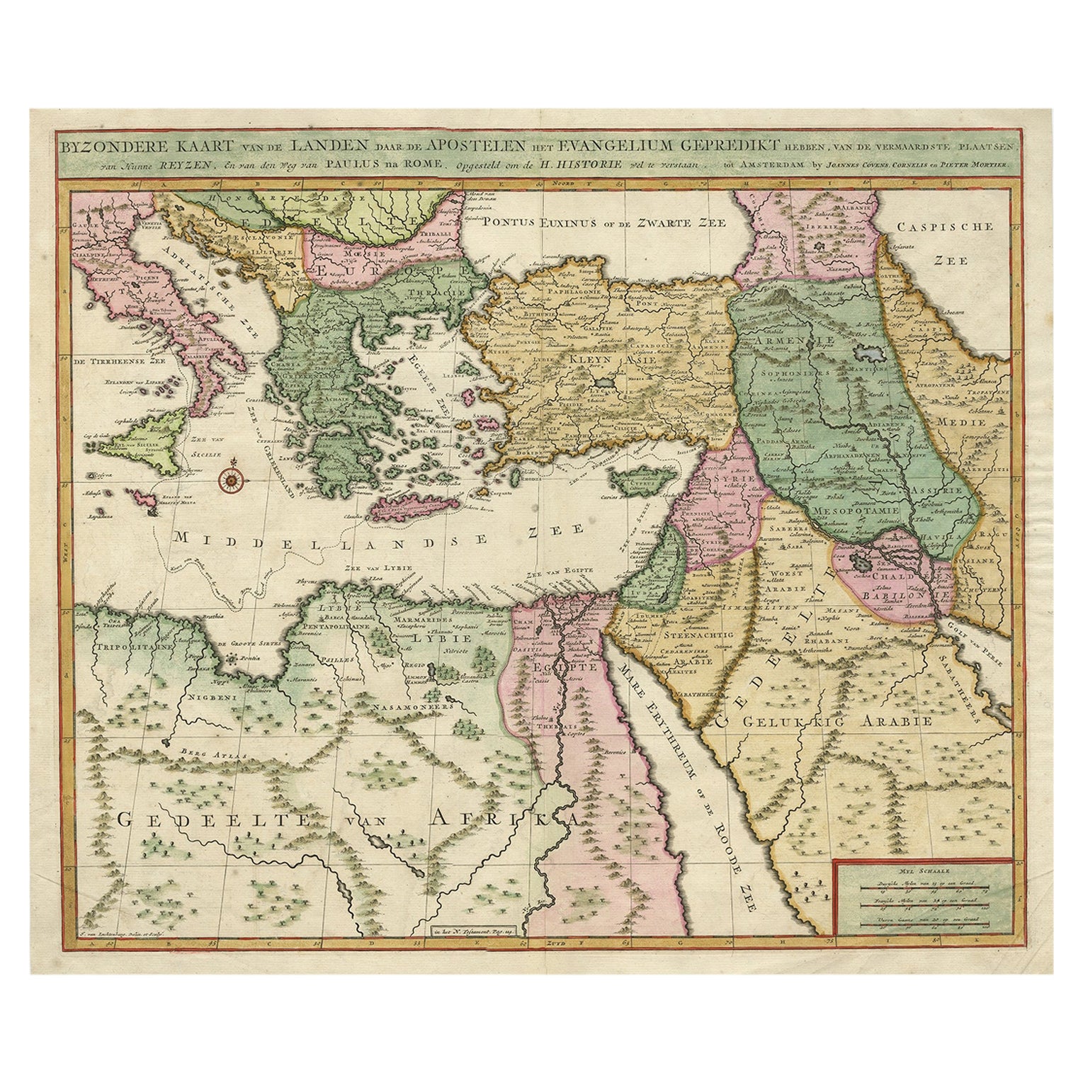
- Intriguing Antique Map of Europe, the Middle East and Africa by Scherer, c.1703Located in Langweer, NLAntique map depicting part of Africa, Europe and the Middle East. Also showing various cities in the lower chart. Printed for Scherer's 'Atlas Novus' (1702-1710). Artists and Eng...Category
Antique 18th Century Maps
MaterialsPaper
- Antique Bible Map of the Middle East by A. Schut, 1743Located in Langweer, NLAntique map titled 'De Gelegentheyt van 't Paradys en 't Landt Canaan'. Dutch Bible map covering the region between the Mediterranean and the Persian Gulf, ...Category
Antique Mid-18th Century Maps
MaterialsPaper
 $453 Sale Price24% Off
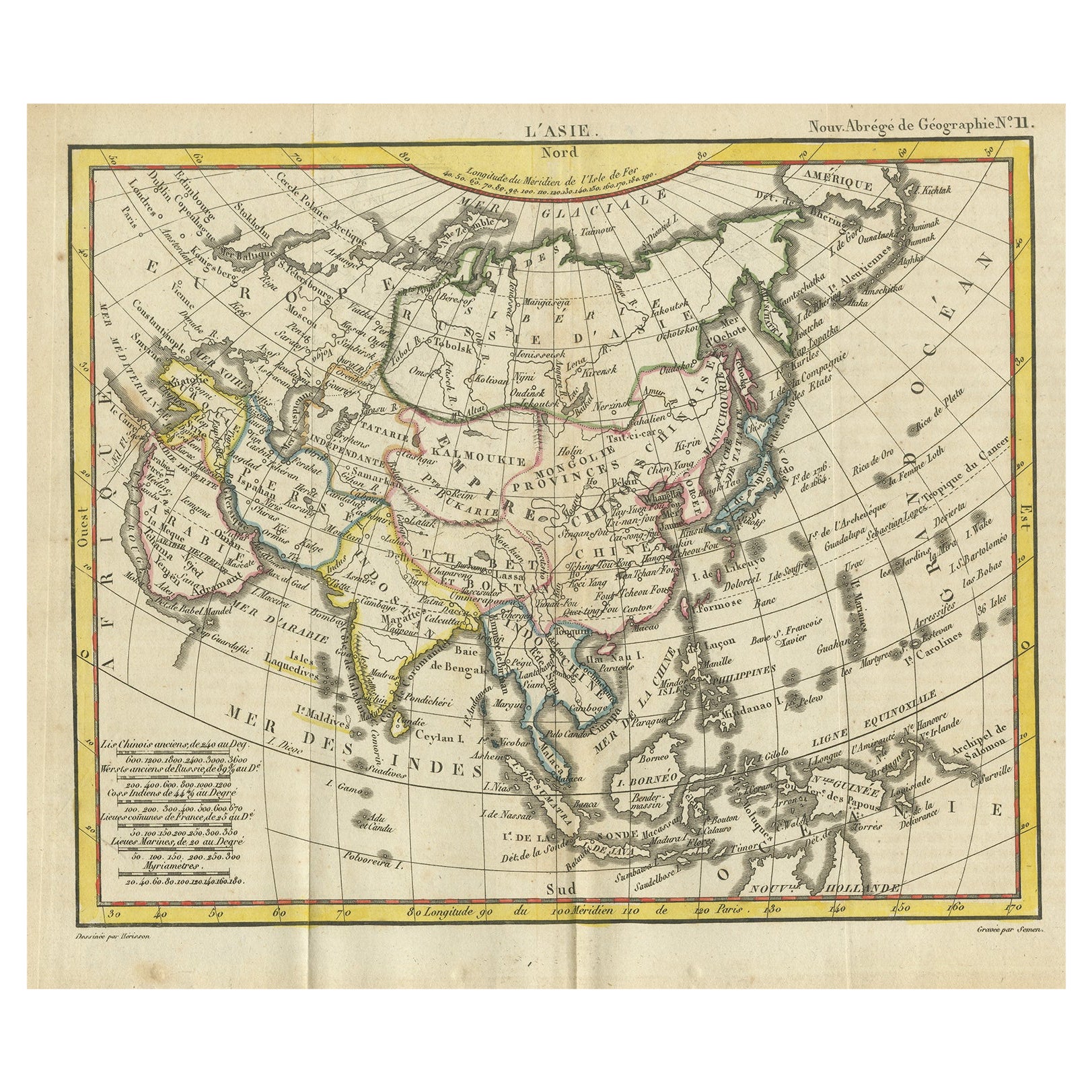
 - Antique Map of Asia from the Middle East to the Coast of Alaska, 1816Located in Langweer, NLAntique map titled ‘L’Asie‘. This is an original antique map of Asia, by Hérisson, taken from atlas ""Nouv. Abrége de Géographie"". An engraved map with coloring of Asia from the Mid...Category
Antique 19th Century Maps
MaterialsPaper
- Antique Map of the Middle East by Brion de la Tour '1772'Located in Langweer, NLAntique map titled 'Carte des Pays et Principaux Lieux (..)'. Original antique map of Middle East, extending to the Red Sea, Egypt, the Eastern Medi...Category
Antique Late 18th Century Maps
MaterialsPaper

You May Also Like
- Original Antique Map of Europe, Arrowsmith, 1820Located in St Annes, LancashireGreat map of Europe Drawn under the direction of Arrowsmith. Copper-plate engraving. Published by Longman, Hurst, Rees, Orme and Brown, 1820 ...Category
Antique 1820s English Maps
MaterialsPaper

- Original Antique Map of South East Asia by Becker, circa 1840Located in St Annes, LancashireGreat map of South East Asia Steel engraving with original color outline Engraved by Becker Published by Virtue, circa 1840. Unframed.Category
Antique 1840s English Other Maps
MaterialsPaper
- Original Antique Map of South East Asia by Thomas Clerk, 1817Located in St Annes, LancashireGreat map of South East Asia Copper-plate engraving Drawn and engraved by Thomas Clerk, Edinburgh. Published by Mackenzie And Dent, 1817 Unframed.Category
Antique 1810s English Maps
MaterialsPaper
- Original Antique English County Map, East Yorkshire, J & C Walker, 1851Located in St Annes, LancashireGreat map of The East Riding of Yorkshire Original colour By J & C Walker Published by Longman, Rees, Orme, Brown & Co. 1851 Unframed.Category
Antique 1850s English Other Maps
MaterialsPaper
- Original Antique Map / City Plan of Brussels by Tallis, circa 1850Located in St Annes, LancashireGreat map of Brussels. Steel engraving. Published by London Printing & Publishing Co. (Formerly Tallis), C.1850 Free shipping.Category
Antique 1850s English Maps
MaterialsPaper
- Map of the Republic of GenoaLocated in New York, NYFramed antique hand-coloured map of the Republic of Genoa including the duchies of Mantua, Modena, and Parma. Europe, late 18th century. Dimension: 25...Category
Antique Late 18th Century European Maps


Recently Viewed
View AllMore Ways To Browse
Middle East Furniture
Unusual Antique Collectables
Antique Prince And
Munich Antiques
City Of Rome Furniture
Middle East Antiques
Antique Maps Of Europe
Middle Eastern Antiques
Bavaria Antique
Antique Eastern European Furniture
Madrid Antique
Antique Map Europe
Antique Map Of Europe
Eastern European Antiques
Map Of Rome
Map Rome
Rome Maps
Antique Paris Map Print