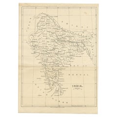
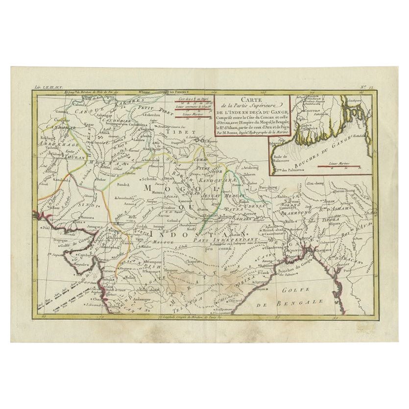
Antique Map of India, c.1850
View Similar Items


Want more images or videos?
Request additional images or videos from the seller
1 of 5
Antique Map of India, c.1850
About the Item
- Dimensions:Height: 9.06 in (23 cm)Width: 12.41 in (31.5 cm)Depth: 0 in (0.01 mm)
- Materials and Techniques:
- Period:
- Date of Manufacture:circa 1850
- Condition:
- Seller Location:Langweer, NL
- Reference Number:Seller: BGJC-002681stDibs: LU3054326359142
About the Seller
5.0
Platinum Seller
These expertly vetted sellers are 1stDibs' most experienced sellers and are rated highest by our customers.
Established in 2009
1stDibs seller since 2017
1,946 sales on 1stDibs
More From This SellerView All
- Original Antique Map of Northern IndiaBy Jakob van der SchleyLocated in Langweer, NLAntique map titled 'Carte de l'Indoustan (..) - Kaart van Hindoestan (..)'. Original antique map of northern India. This map originates from 'His...Category
Antique Mid-18th Century Maps
MaterialsPaper
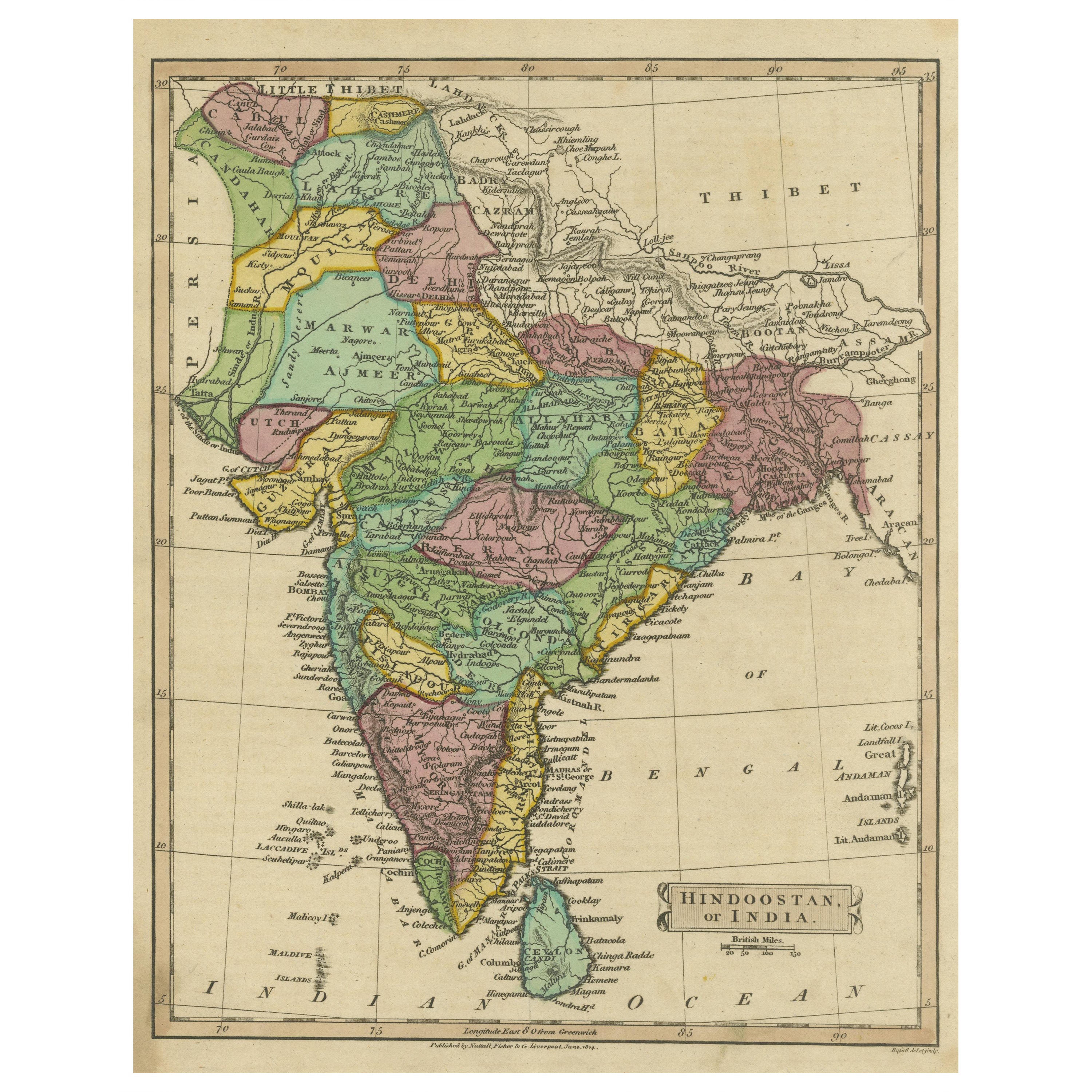
- Antique Map of Hindustan, or IndiaLocated in Langweer, NLAntique map titled 'Hindoostan, or India'. Original antique map of India (Hindustan) and Sri Lanka (Ceylon). Engraved by Russell. Published by Nuttall, Fisher & Co, 1814.Category
Antique Early 19th Century Maps
MaterialsPaper
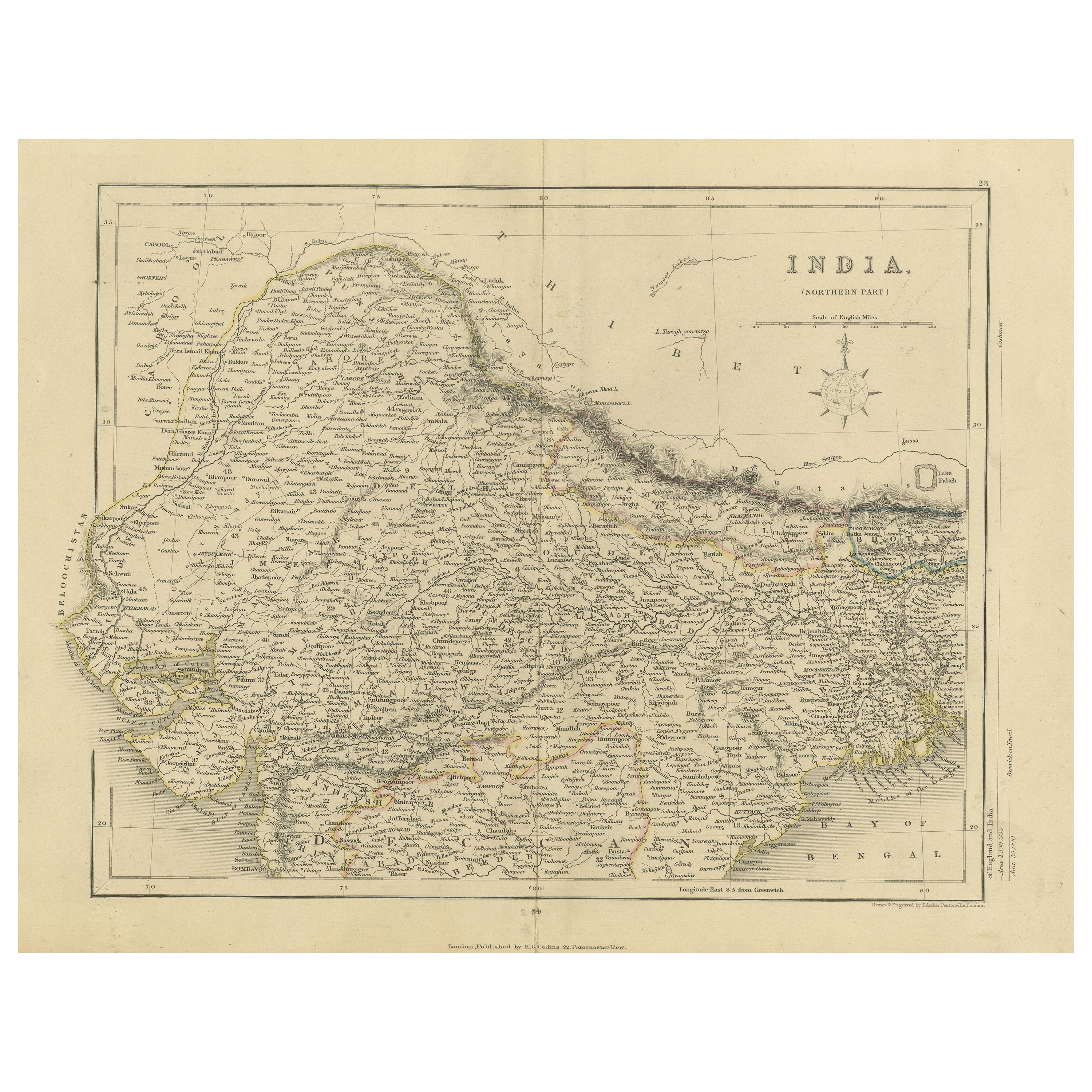
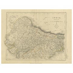
- Original Antique Map of Northern IndiaLocated in Langweer, NLAntique map titled 'India. Northern Part'. Original antique map of Northern India. Drawn and engraved by J. Archer. Publishes by H.G. Collins, ci...Category
Antique Mid-19th Century Maps
MaterialsPaper
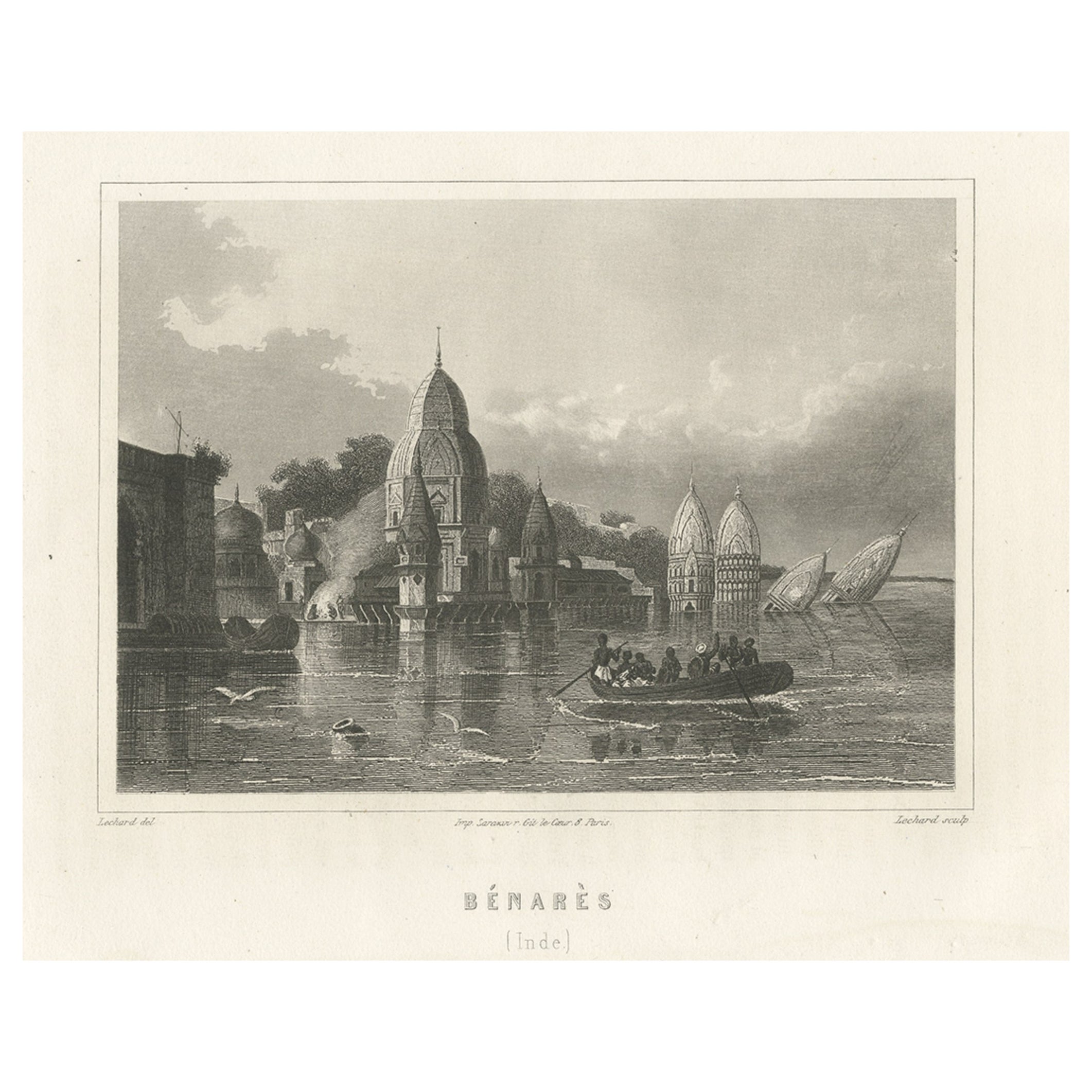
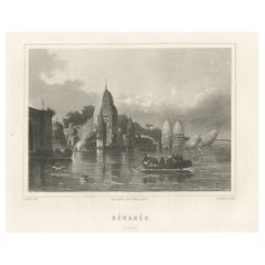
- Antique Print of Varanasi in India, c.1850Located in Langweer, NLAntique print titled 'Bénarès (Inde)'. View of Varanasi, also known as Benares, Banaras or Kashi. Varanasi a city on the banks of the river Ganges in Uttar Pradesh, India. Source unk...Category
Antique 19th Century Prints
MaterialsPaper
 $184 Sale Price20% Off
 - Antique Map of India to Southeast AsiaLocated in Langweer, NLAntique map titled 'Indes en-decà et au-delà du Gange'. Original old map of India to Southeast Asia, showing India, Nepal, Bhutan, Sri Lanka (Ceylon), Myanmar (Birma), part of Indone...Category
Antique Mid-19th Century Maps
MaterialsPaper
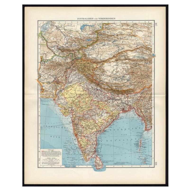
- Antique Map of Central Asia and India, 1904Located in Langweer, NLAntique map titled 'Zentralasien und Vorderindien'. Map of Central Asia and India. This large antique map is taken from; 'Andrees Allgemeiner Handatlas in 126 Haupt-Und 139 Nebenkart...Category
20th Century Maps
MaterialsPaper
 $118 Sale Price20% Off


You May Also Like
- Original Antique Map of India. C.1780Located in St Annes, LancashireGreat map of India Copper-plate engraving Published C.1780 Three small worm holes to right side of map and one bottom left corner Unframed.Category
Antique Early 1800s English Georgian Maps
MaterialsPaper

- Antique 1803 Italian Map of Asia Including China Indoneseia IndiaLocated in Amsterdam, Noord HollandAntique 1803 Italian Map of Asia Including China Indoneseia India Very nice map of Asia. 1803. Additional information: Type: Map Country of Manufacturing: Europe Period: 19th centu...Category
Antique 19th Century European Maps
MaterialsPaper
 $584 Sale Price20% Off
 - Antique French Map of Asia Including China Indoneseia India, 1783Located in Amsterdam, Noord HollandVery nice map of Asia. 1783 Dedie au Roy. Additional information: Country of Manufacturing: Europe Period: 18th century Qing (1661 - 1912) Condition: Overall Condition B (Good Used)...Category
Antique 18th Century European Maps
MaterialsPaper
 $648 Sale Price20% Off
 - Original Antique Map / City Plan of Brussels by Tallis, circa 1850Located in St Annes, LancashireGreat map of Brussels. Steel engraving. Published by London Printing & Publishing Co. (Formerly Tallis), C.1850 Free shipping.Category
Antique 1850s English Maps
MaterialsPaper
- Antique Lithography Map, Cornwall, English Framed Engraving, Cartography, C.1850Located in Hele, Devon, GBThis is an antique lithography map of the Duchy of Cornwall. An English, framed atlas engraving of cartographic interest, dating to the early 19th century and later. Superb lithogra...Category
Antique Mid-19th Century British Victorian Maps
MaterialsWood
- Large Original Vintage Map of India, circa 1920Located in St Annes, LancashireGreat map of India Original color. Good condition / repair to some minor damage just above Sri Lanka. Shown in the last image. Published by Alexander Gross Unframed.Category
Vintage 1920s English Maps
MaterialsPaper


Recently Viewed
View AllMore Ways To Browse
Ceylon Map
Antique Map Ceylon
Lanka Map
Sri Lanka Maps
Sri Lankan Map
Sri Lanka Map
Antique Sri Lanka Map
Antique Maps Of United States
Antique Collectible Bears
United States Map Vintage
United States Vintage Map
Amsterdam Map
Map Of Amsterdam
Old World Antique Maps
Antique Old World Map
Old World Antique Map
Old Antique World Map
Antique Old Map Of The World