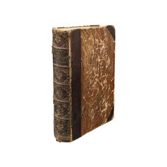
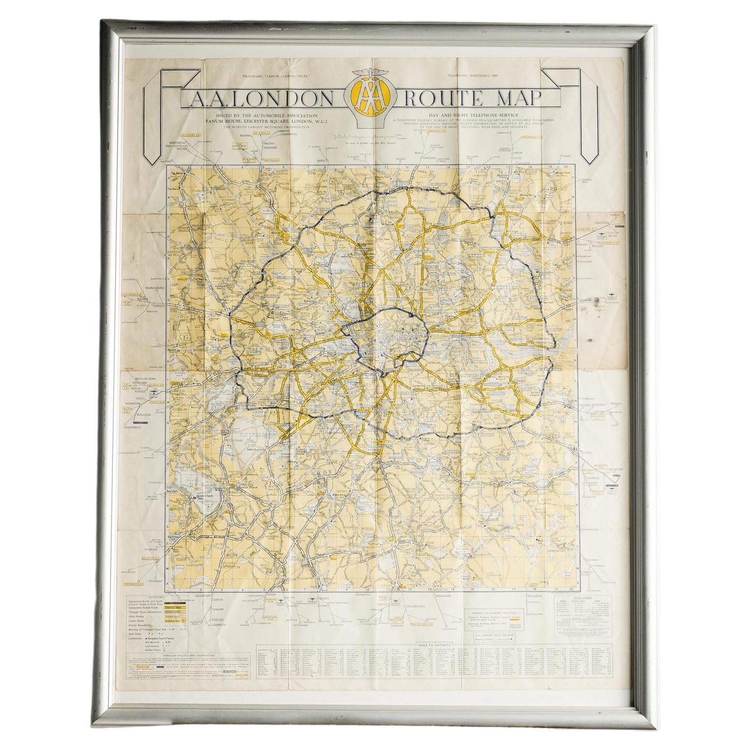
Bacon's New Shilling Map of London and Illustrated Guide, circa 1890
View Similar Items


1 of 14
Bacon's New Shilling Map of London and Illustrated Guide, circa 1890
About the Item
- Creator:George Washington Bacon (Maker)
- Dimensions:Height: 7.49 in (19 cm)Width: 4.73 in (12 cm)Depth: 0.4 in (1 cm)
- Style:Victorian (Of the Period)
- Materials and Techniques:
- Place of Origin:
- Period:
- Date of Manufacture:circa 1890
- Condition:Wear consistent with age and use. Please, ask for more pictures!
- Seller Location:Unteriberg, CH
- Reference Number:Seller: 486201stDibs: LU4518114049982
You May Also Like
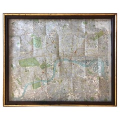
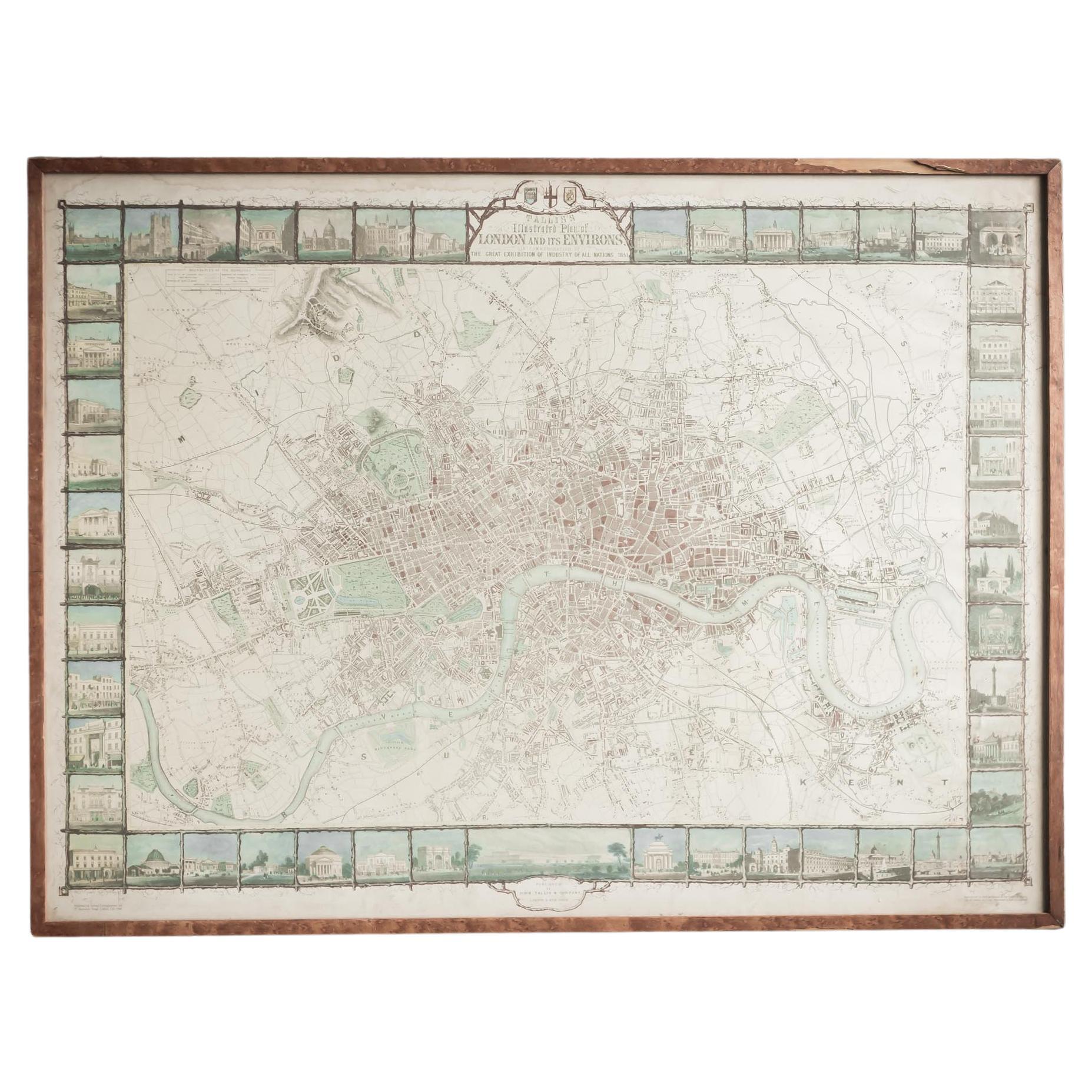
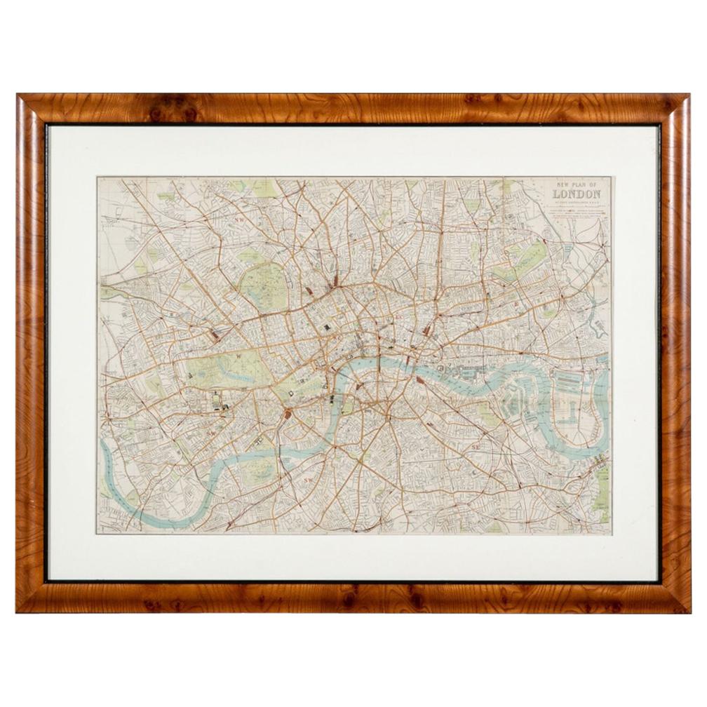
- Illustrated Map of London from ExhibtionLocated in Alton, GBDetailed illustrated map of London from the great exhibition of industry of all nations 1851.Category
Antique 19th Century Maps
MaterialsPaper
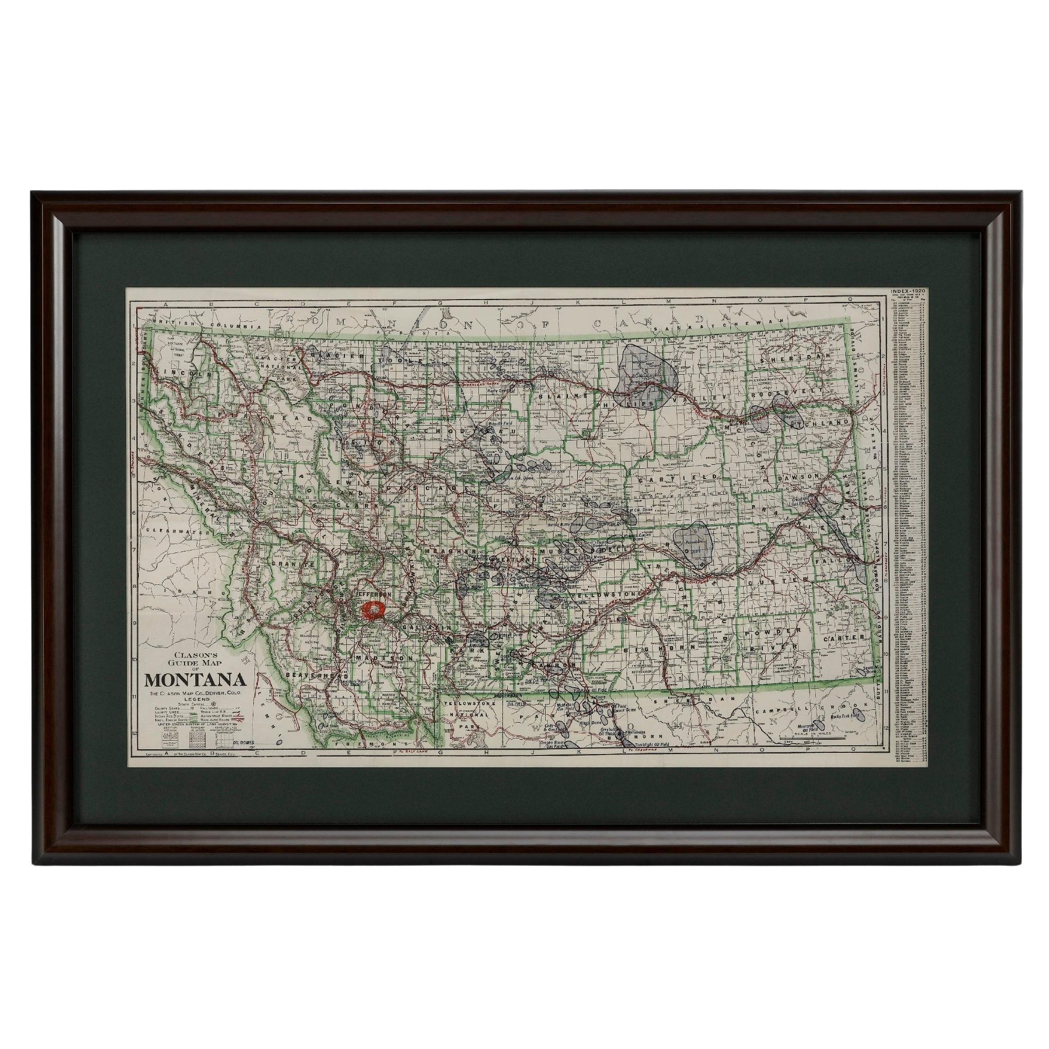
- "Clason's Guide Map of Montana" by The Clason Map Company, Circa 1920sLocated in Colorado Springs, COPresented is “Clason's Guide Map of Montana,” published in the early 1920s by the Clason Map Company. Issued as a folding map, this map identifies county boundaries, county seats, Na...Category
Vintage 1920s American Art Deco Maps
MaterialsPaper
- Antique "New Plan of London" Map by John Bartholomew, 1900Located in Bridgeport, CTProduced for the W.H. Smith guide, folded in the original. The map here is unfolded and framed flat, with transportation routes shown and color details. sight 22 x 32" (original ful...Category
Antique Early 1900s English Victorian Maps
MaterialsPaper
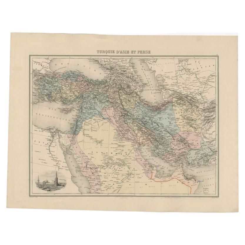
- Antique Map of the Turkish Empire and Persia, circa 1890By J. MigeonLocated in Langweer, NLAntique map Turkish Emprie titled 'Turquie d'Asie et Perse'. Beautiful map depicting the Turkish Empire and Persia. With vignette depicting Damascus. This map originates from 'Nouvel...Category
Antique 19th Century Maps
MaterialsPaper
 $332 Sale Price20% Off
 - Original Antique Map of The United States of America, circa 1890Located in St Annes, LancashireGreat map of the USA By The Stanford's Geographical Establishment Original colour Unframed.Category
Antique 1890s English Victorian Maps
MaterialsPaper
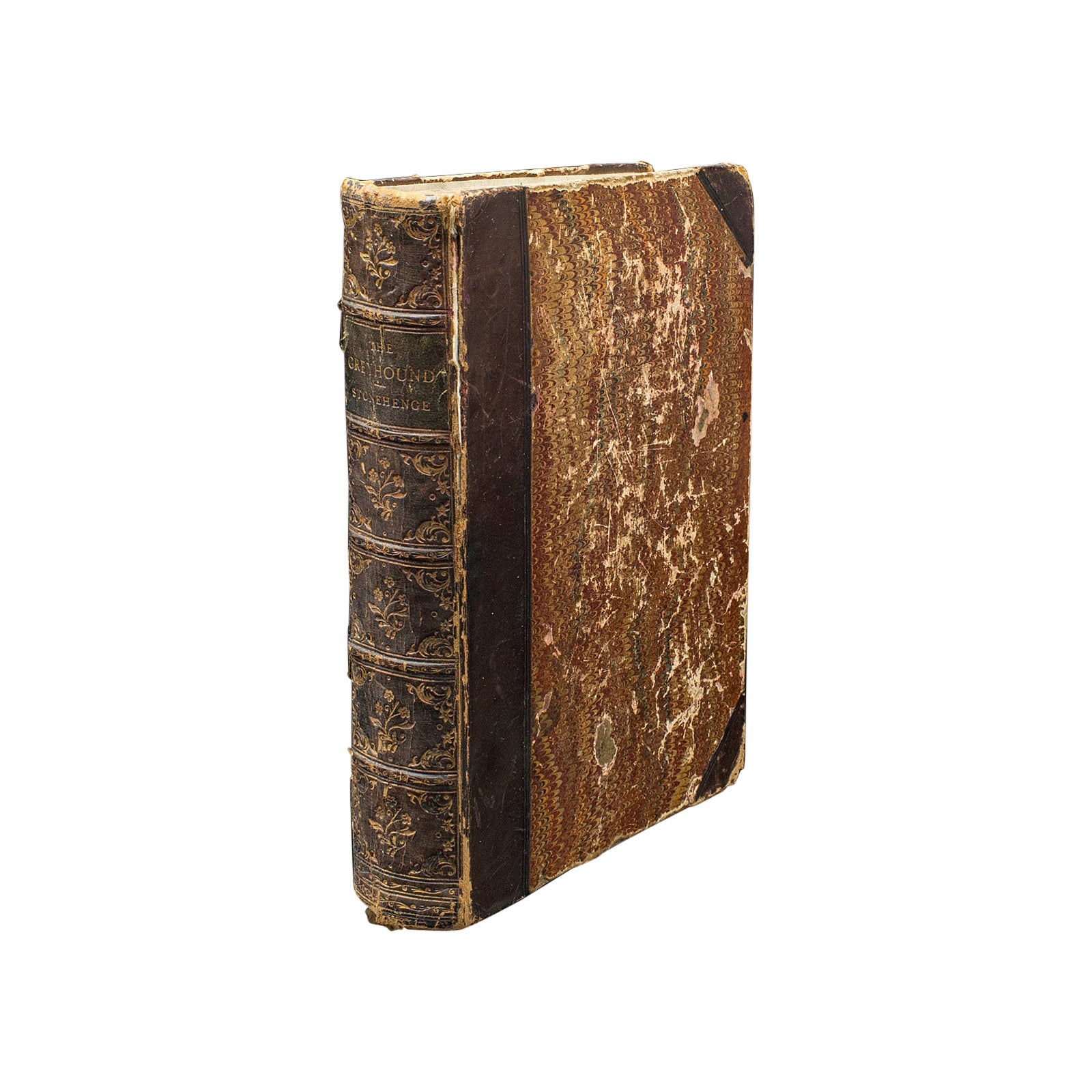
- Antique Reference Book, The Greyhound, English, Illustrated Guide, VictorianLocated in Hele, Devon, GBThis is an antique reference book, The Greyhound by Stonehenge. An English language, bound and illustrated guide to the breed, dating to the Victorian period, published 1875. Using ...Category
Antique Late 19th Century British Victorian Books
MaterialsPaper