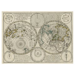
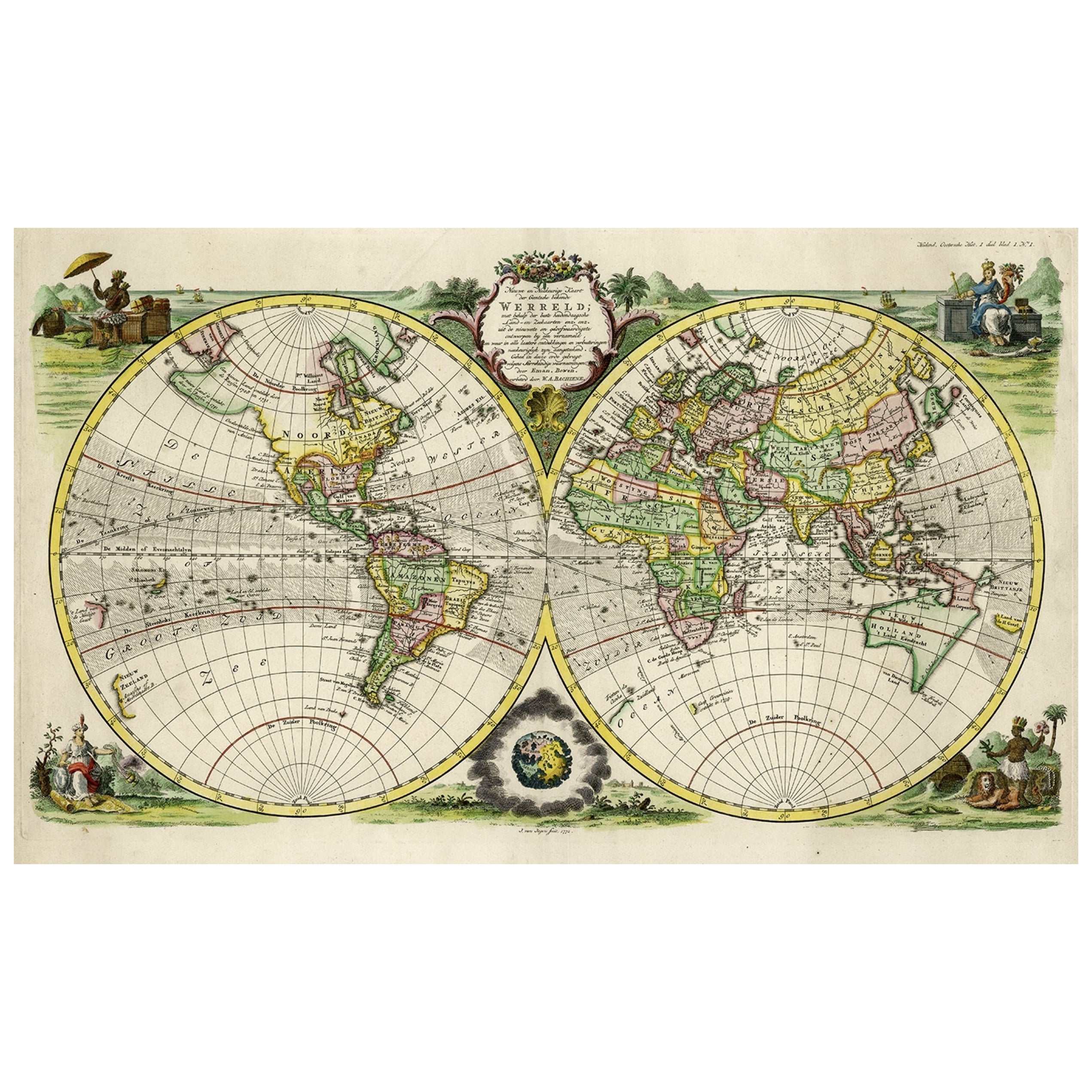
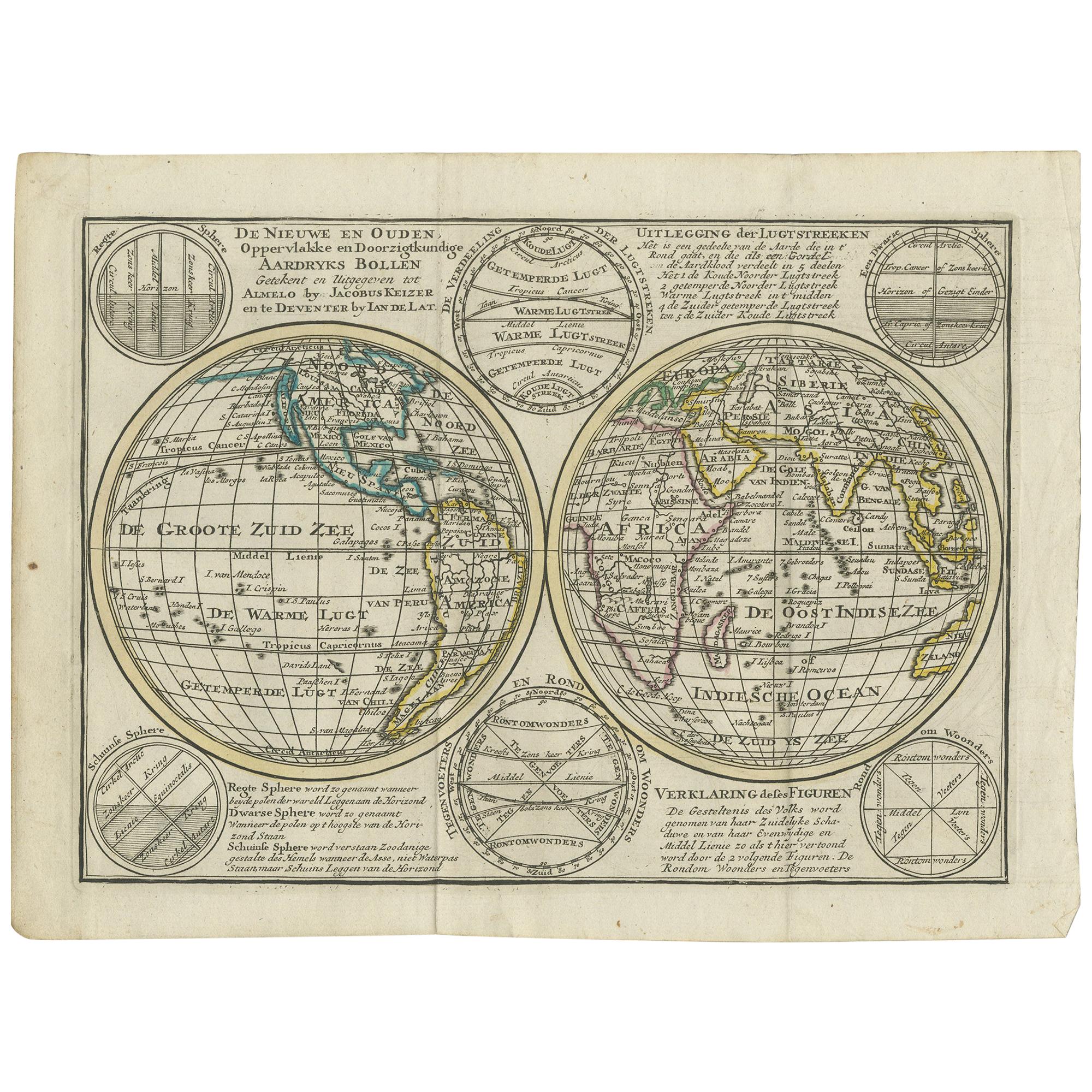
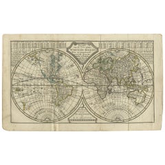
Double Hemisphere World Map on Polar Projections & California Island, 1788
View Similar Items


Want more images or videos?
Request additional images or videos from the seller
1 of 5
Double Hemisphere World Map on Polar Projections & California Island, 1788
About the Item
- Dimensions:Height: 8.08 in (20.5 cm)Width: 10.83 in (27.5 cm)Depth: 0 in (0.02 mm)
- Materials and Techniques:
- Period:1780-1789
- Date of Manufacture:1788
- Condition:Condition: General age-related toning. Original folding lines. Original/contemporary hand coloring, blank verso. Minor wear, please study image carefully.
- Seller Location:Langweer, NL
- Reference Number:Seller: BG-12854-21 1stDibs: LU3054326906652
About the Seller
5.0
Platinum Seller
These expertly vetted sellers are 1stDibs' most experienced sellers and are rated highest by our customers.
Established in 2009
1stDibs seller since 2017
1,949 sales on 1stDibs
More From This SellerView All
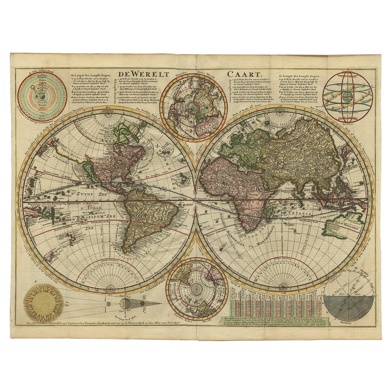
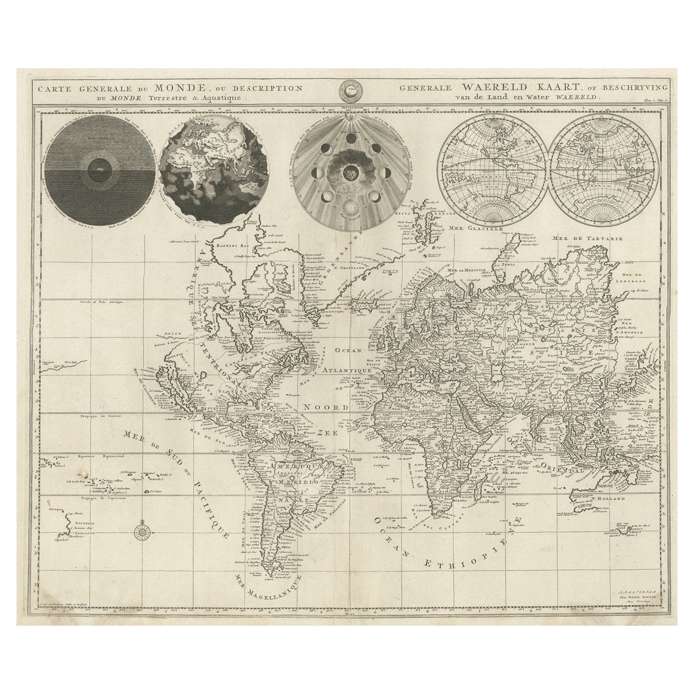
- Antique Double Hemisphere World Map with California as an Island, 1710Located in Langweer, NLDescription: Antique map titled 'De Werelt Caart'. First state (out of three) antique double hemisphere world map from a Dutch bible by Cornelis D...Category
Antique 1710s Maps
MaterialsPaper
 $3,036 Sale Price20% Off
 - Antique Map of the World on Mercator's Projection, 1788Located in Langweer, NLAntique map titled 'Kaart van de Geheele Wereld (..)'. Uncommon small world map on Mercator's projection. Nice detail of the islands throughout the wor...Category
Antique Late 18th Century Maps
MaterialsPaper
 $660 Sale Price20% Off
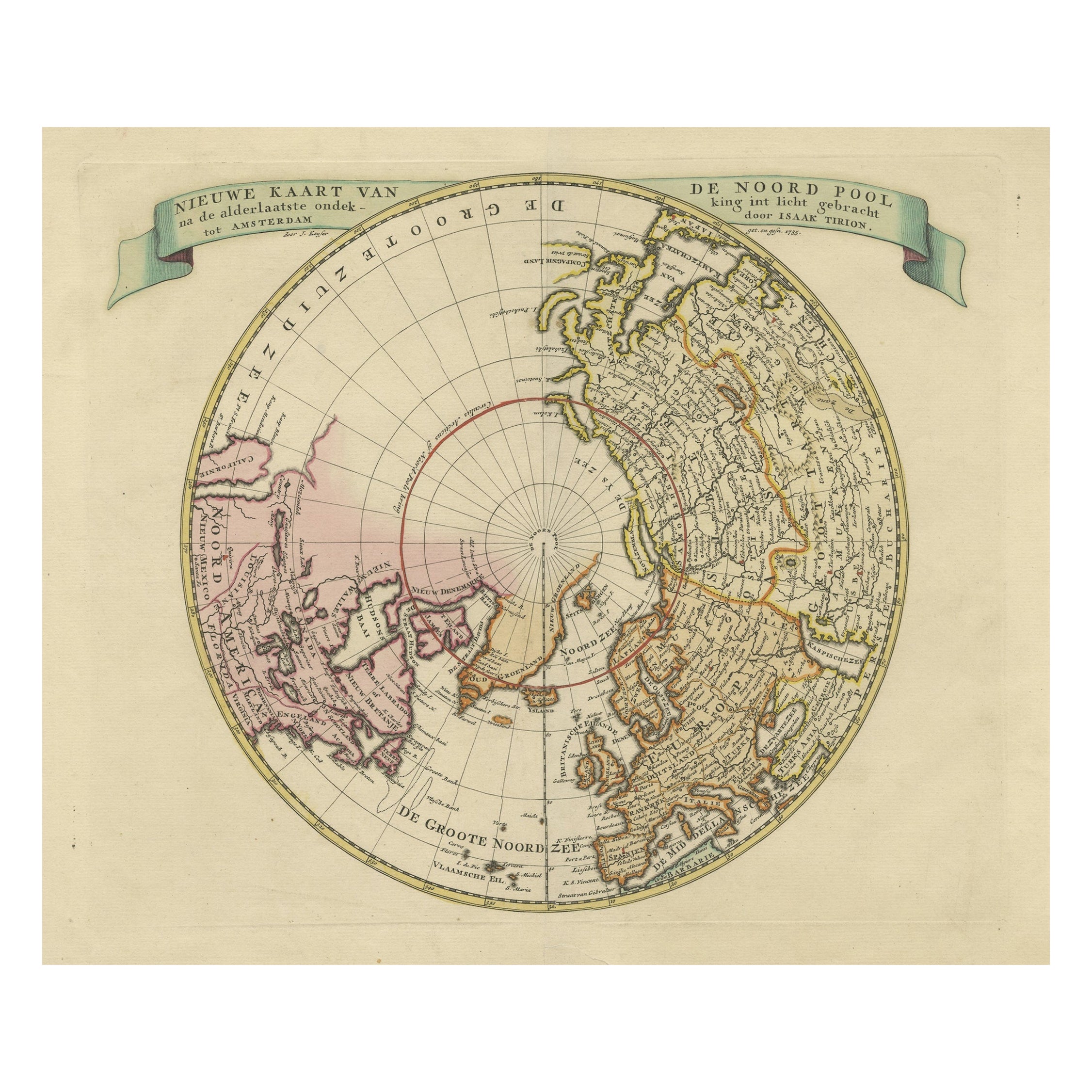
 - Antique Map of the World with Polar Projections by Keizer & de Lat, 1788Located in Langweer, NLAntique map titled 'Schuine Ronde Aard-Klooten (..)'. Interesting double hemisphere world map with polar projections. In North America, there is a...Category
Antique Late 18th Century Maps
MaterialsPaper
 $412 Sale Price25% Off
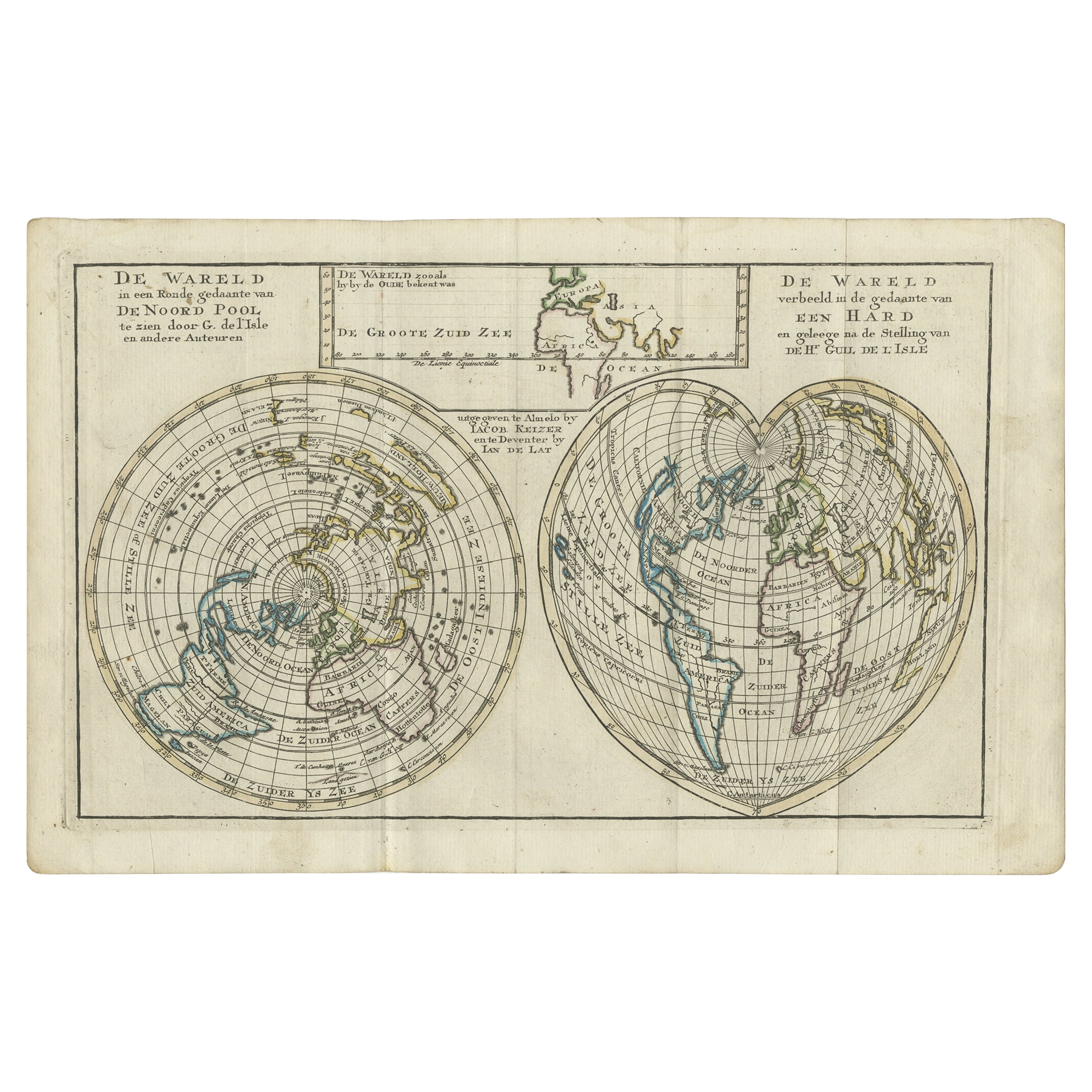
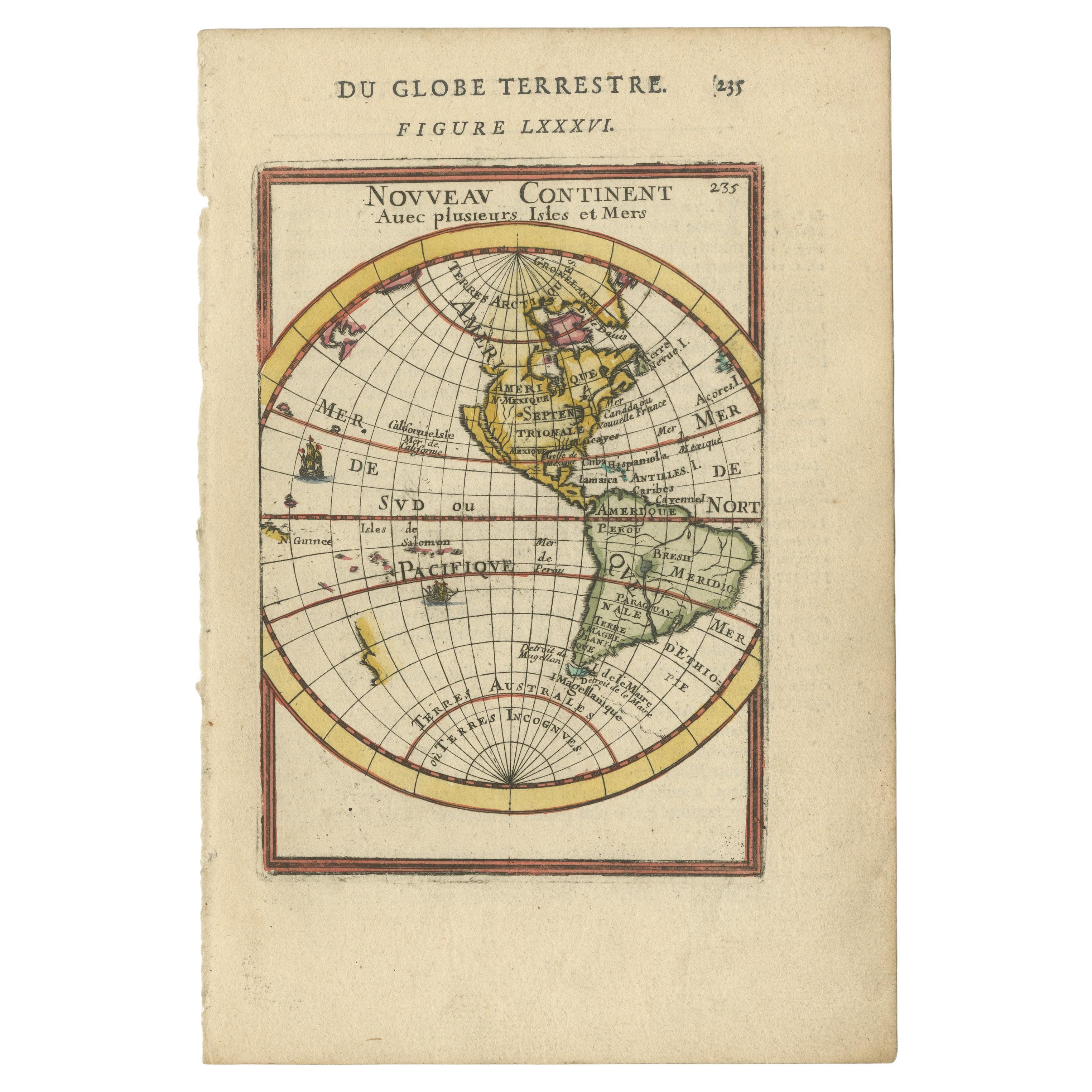
 - Antique Map of the World with California as an Island, 1788Located in Langweer, NLDescription: Antique map titled 'De wareld in een ronde gedaante van de Noord Pool te zien - De Wareld verbeeld in de gedaante van een hard'. This interesting composition contains three world maps on the sheet. At left is a northern projection showing all the landmasses. At right is a cordiform projection (heart-shaped). At top is a map of the world as known to the ancients. Both the polar and cordiform projections show California as an island...Category
Antique 1780s Maps
MaterialsPaper
 $465 Sale Price34% Off
 - Antique Map of the World in Hemispheres by Keizer & de Lat, 1788Located in Langweer, NLAntique map titled 'Schuine Ronde Aard-Bolle waar van 't Middelpunt is Amsterdam (..)'. Interesting double hemisphere world map on polar projections. In North America, there is a large Island of California. Australia and New Zealand are shown with incomplete coastlines. The map contains six smaller astronomical...Category
Antique Late 18th Century Maps
MaterialsPaper
 $440 Sale Price20% Off
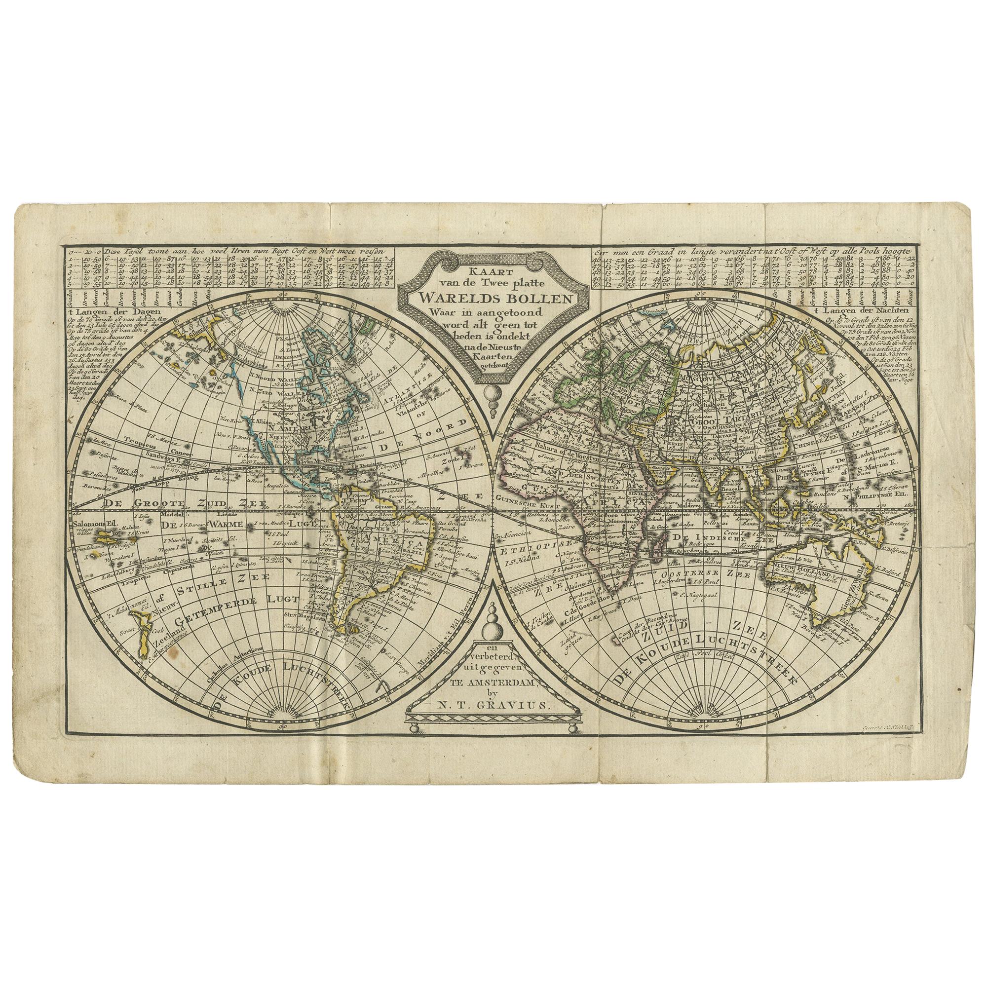
 - Antique Map of the World in two Hemispheres by Keizer & de Lat, 1788Located in Langweer, NLAntique map titled 'Kaart van de Twee platte Warelds Bollen (..)'. Interesting world map in two hemispheres. California shown as a labeled island with place names and an indented nor...Category
Antique Late 18th Century Maps
MaterialsPaper
 $577 Sale Price30% Off
You May Also Like
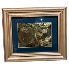
- Late 20th Century Gold Foil World Map Double HemisphereLocated in Chula Vista, CALate 20th Century Gold Foil Ancient World Map Double Hemisphere Gold Foil Old World Framed Map information on reverse of the print. Original vintage ...Category
Late 20th Century English Mid-Century Modern Prints
MaterialsGold
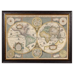
- Framed World Map print showing double hemisphere dating to 1642 originally, NewLocated in Lincoln, LincolnshireThis is a digitally remastered World Map Conjuring up the golden age of exploration, from an original 1642 double hemisphere map of the world. It...Category
2010s British Charles II Prints
MaterialsGlass, Wood, Paper
- Original Antique Map of The World by Thomas Clerk, 1817Located in St Annes, LancashireGreat map of The Eastern and Western Hemispheres On 2 sheets Copper-plate engraving Drawn and engraved by Thomas Clerk, Edinburgh. Published by Mackenzie And Dent, 1817 ...Category
Antique 1810s English Maps
MaterialsPaper
- "San Francisco, Upper California” 1851 Antique Map of San FranciscoLocated in Colorado Springs, COThis is a pictorial lettersheet view of the city and harbor of San Francisco. This lithograph was printed on grey wove paper, across a double sheet, by famed lithographers Britton & ...Category
Antique 1850s American Prints
MaterialsPaper
 $1,200 Sale Price20% Off
 - St. Christophe 'St. Kitts' Island: An 18th Century Hand-colored Map by BellinBy Jacques-Nicolas BellinLocated in Alamo, CAJacques Bellin's copper-plate map of the Caribbean island of Saint Kitts entitled "Carte De De l'Isle St. Christophe Pour servir á l'Histoire Genle. des V...Category
Antique Mid-18th Century French Maps
MaterialsPaper
- California, Alaska and Mexico: 18th Century Hand-Colored Map by de VaugondyBy Didier Robert de VaugondyLocated in Alamo, CAThis an 18th century hand-colored map of the western portions of North America entitled "Carte de la Californie et des Pays Nord-Ouest separés de l'Asie par le détroit d'Anian, extra...Category
Antique 1770s French Maps
MaterialsPaper


Recently Viewed
View AllMore Ways To Browse
New Zealand Map
Large Antique Maps North America
Map Of New Zealand
Hemisphere World Map
California Island Map
New Zealand Antique Map
Antique New Zealand Map
Antique Maps New Zealand
Antique Map Of New Zealand
Map New Amsterdam
Antique Solar System
Antique Map New Zealand
Heir Antiques
Route Map
Marine 18th Century
Copper Map
Antique English Maps
Atlas Metal