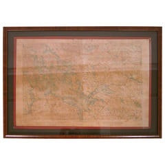
Framed Map of Lake Winnipesaukee Region, NH
View Similar Items


Want more images or videos?
Request additional images or videos from the seller
1 of 8
Framed Map of Lake Winnipesaukee Region, NH
About the Item
- Creator:United States Geological Survey (Author)
- Dimensions:Height: 25.5 in (64.77 cm)Width: 34.25 in (87 cm)Depth: 1.75 in (4.45 cm)
- Materials and Techniques:
- Place of Origin:
- Period:
- Date of Manufacture:circa 1925
- Condition:Wear consistent with age and use. Minor fading. Some toning and browning to the map and age appropriate wear. New, museum quality framing.
- Seller Location:Essex, MA
- Reference Number:1stDibs: LU83771390262
About the Seller
5.0
Vetted Seller
These experienced sellers undergo a comprehensive evaluation by our team of in-house experts.
Established in 1998
1stDibs seller since 2007
192 sales on 1stDibs
More From This SellerView All
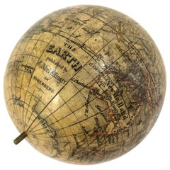
- 19th Century German Miniature Pocket Terrestrial GlobeBy C. Abel-KlingerLocated in Essex, MAA miniature 19th century 3.5 inch diameter pocket terrestrial globe by C. Abel-Klinger, Nuremberg, Germany, in English for the English speaking markets. Signed with cartouche reading...Category
Antique 1880s German Scientific Instruments
MaterialsBrass
 $1,875 Sale Price25% Off
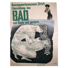
 - Herbert Matter Swiss Exhibition Poster on the History of Bathing and SwimmingBy Herbert MatterLocated in Essex, MAA large, original vintage Swiss exhibition poster by celebrated graphic designer, Herbert Matter, for an exhibition at the Museum of Art & Craft in Zu...Category
Mid-20th Century Swiss Mid-Century Modern Posters
MaterialsPaper
- 1970s Vintage Lucite Lamp by Marlee in the Manner of Charles Hollis JonesBy MarleeLocated in Essex, MAA very well made Lucite lamp, in the manner of Charles Hollis Jones, signed Marlee, circa 1970s, with thick, solid, stacked squares of alternating sizes on a square base. Original rectangular Lucite finial included. Includes optional rectangular silver lined white paper lamp shade...Category
Vintage 1970s American Mid-Century Modern Table Lamps
MaterialsMetal
 $768 Sale Price20% Off
 - Louis XV Style Grey Painted Buffet a Deux Corps CabinetLocated in Essex, MAA very functional and attractive 19th century French Louis XV style grey and white painted two-part cabinet, a buffet a deux corps, great as a bar, china or linen cupboard, the remov...Category
Antique 19th Century French Louis XV Cabinets
MaterialsIron
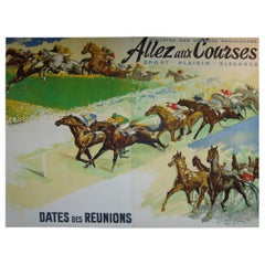
- Giant French Horse Racing Poster Mural by Jacquot, circa 1930sBy Michel JacquotLocated in Essex, MAA rare, giant original French horse racing poster or mural, lithograph on paper, mounted on linen, in four panels joined to form one large image b...Category
Vintage 1930s French Art Deco Posters
MaterialsLinen, Paper
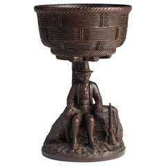
- Black Forest Carved Walnut Hunting Presentation CupLocated in Essex, MAA beautifully crafted Black Forest hand carved walnut hunting presentation cup, the basket weave bowl supported by the figure of a gentleman hunter l...Category
Antique 1870s German Black Forest Decorative Bowls
MaterialsWalnut

You May Also Like
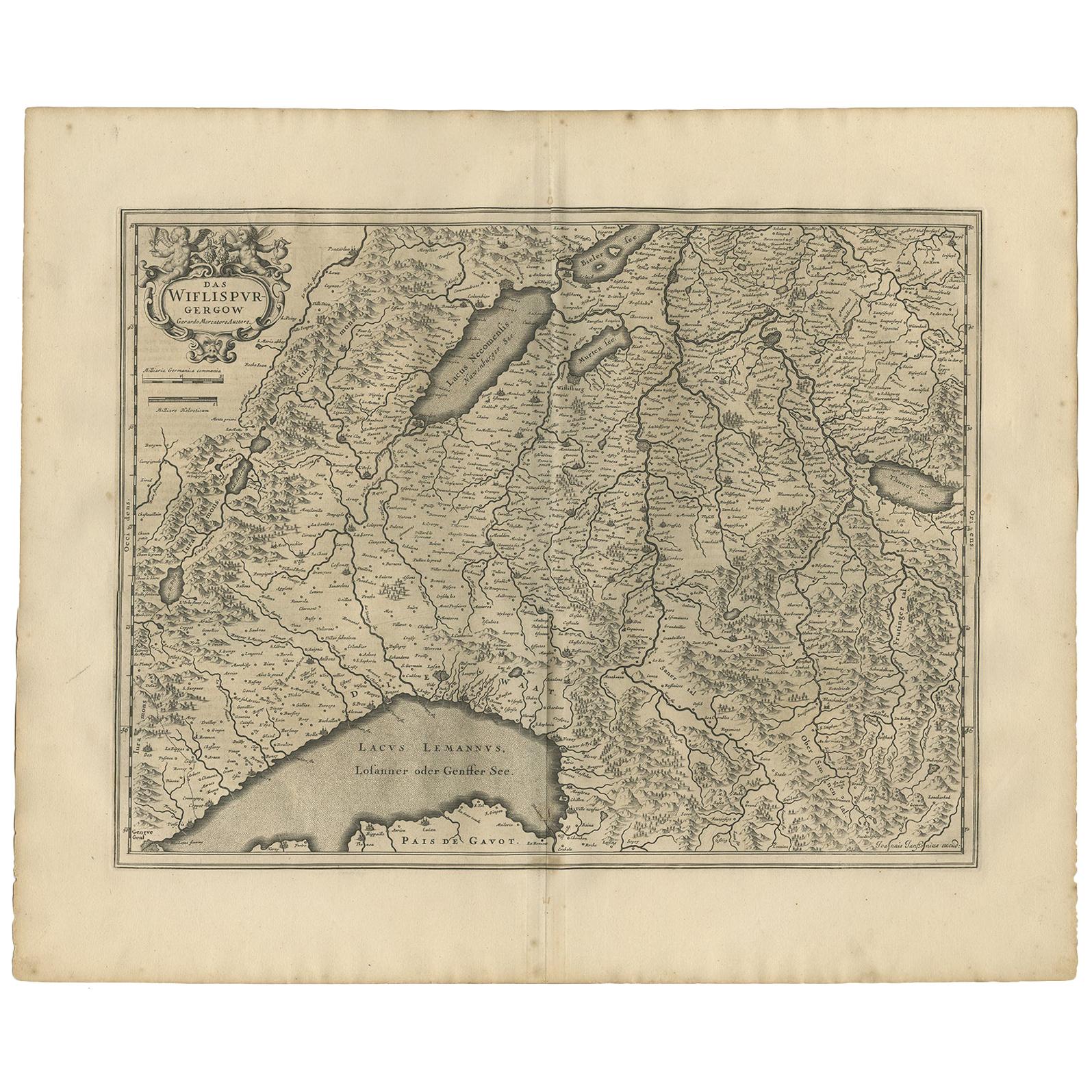
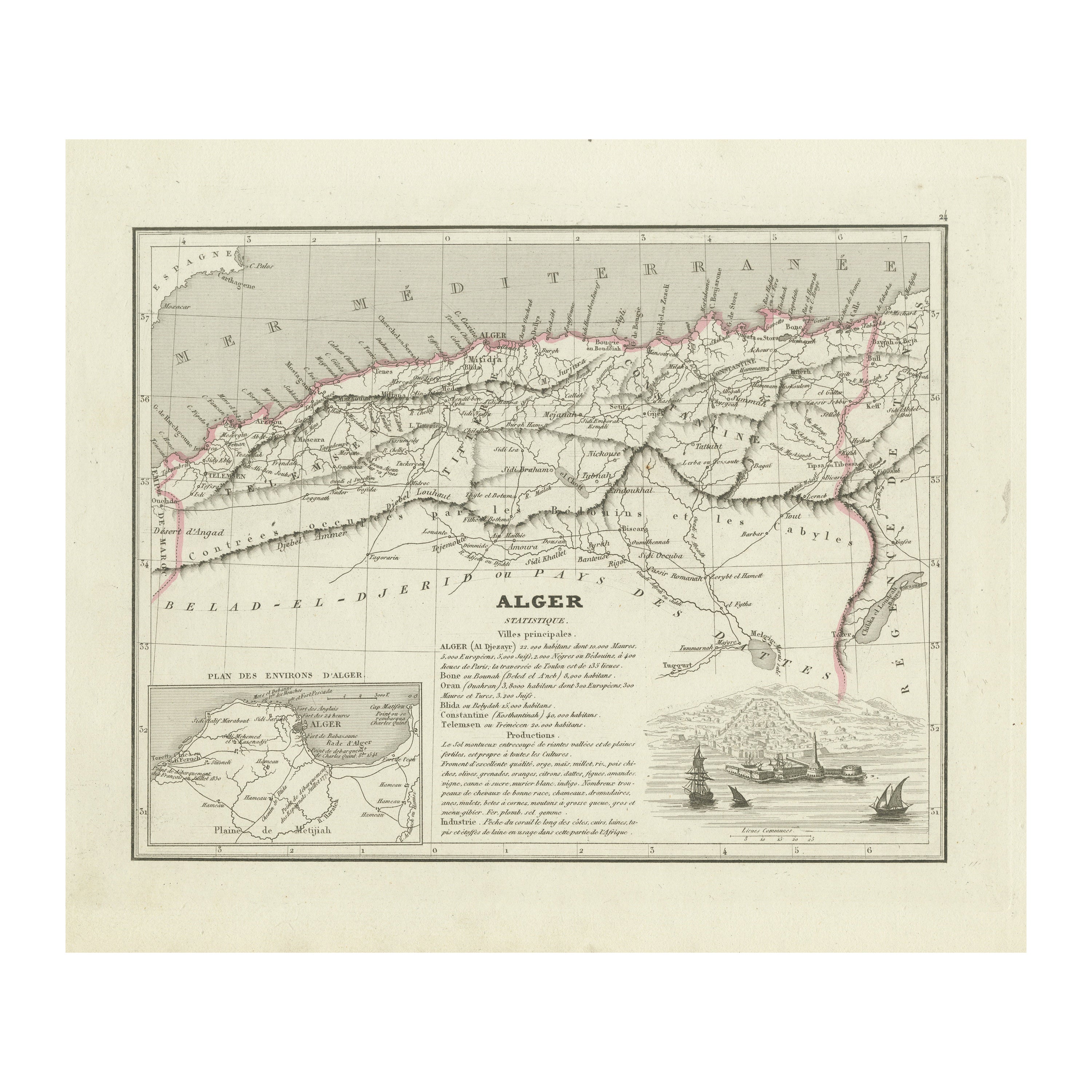
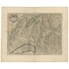
- Antique Map of the Region of Lake Geneva by Janssonius '1657'By Johannes JanssoniusLocated in Langweer, NLAntique map 'Das Wiflispur Gergow'. Detailed map of Switzerland showing Waadt and the Lake of Geneva and the city of Geneva, Fribourg and partly Bern. This map originates from 'Atlas...Category
Antique Mid-17th Century Maps
MaterialsPaper
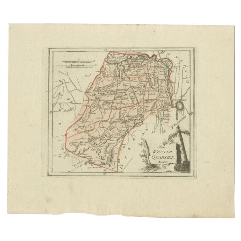
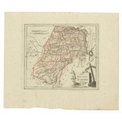
- Antique Map of the Westerkwartier Region, a Region in Groningen, 1791Located in Langweer, NLAntique map titled 'Das Wester Quartier'. Original antique map of Westerkwartier, a region in the province of Groningen, the Netherlands. This map orginates from 'Schauplatz der fünf...Category
Antique 18th Century Maps
MaterialsPaper
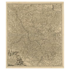
- Antique Map of the Lorraine Region, c.1760Located in Langweer, NLUntitled antique map of the Lorraine region, France. A cultural and historical region in north-eastern France, now located in the administrative region of Grand Est. Lorraine's name ...Category
Antique 18th Century Maps
MaterialsPaper
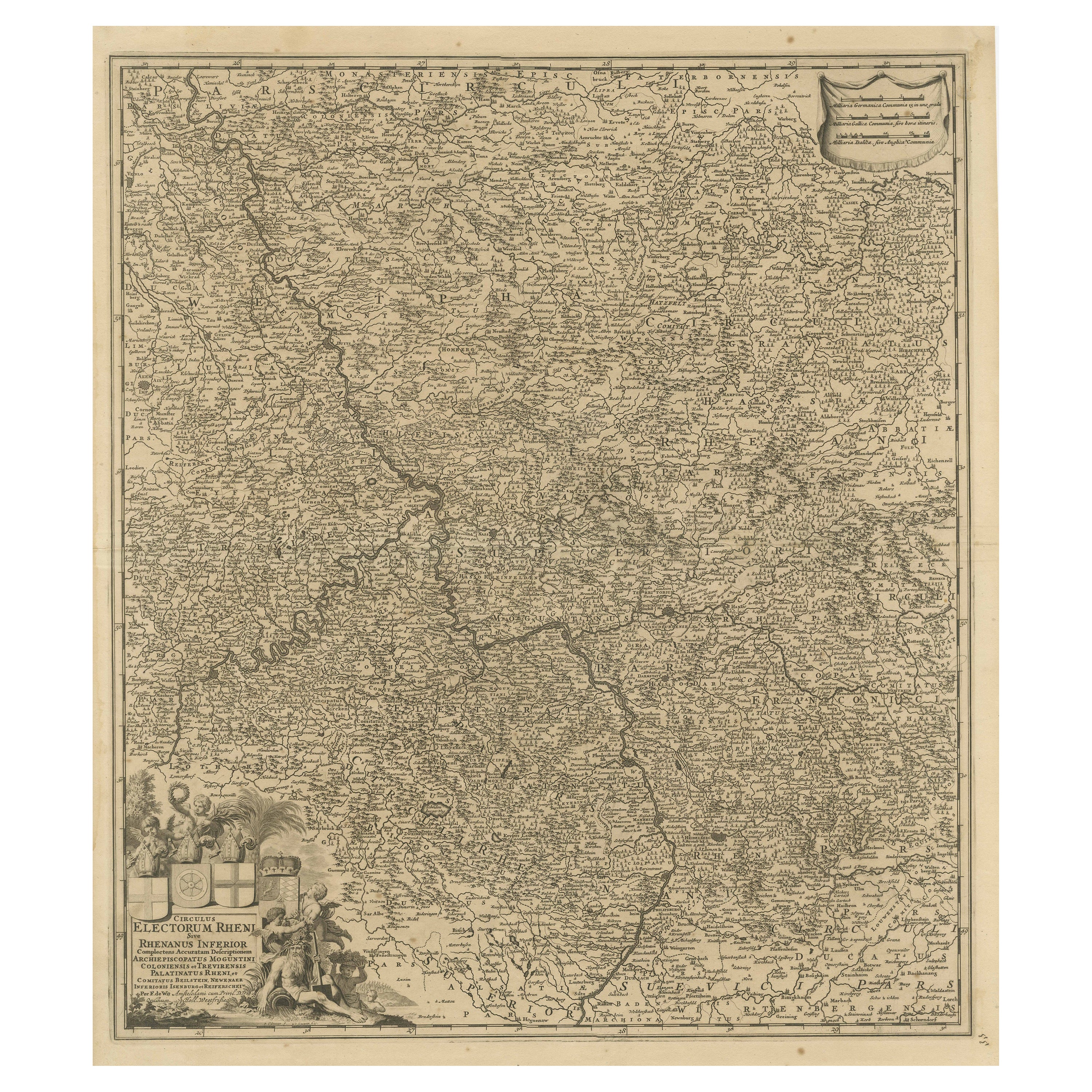
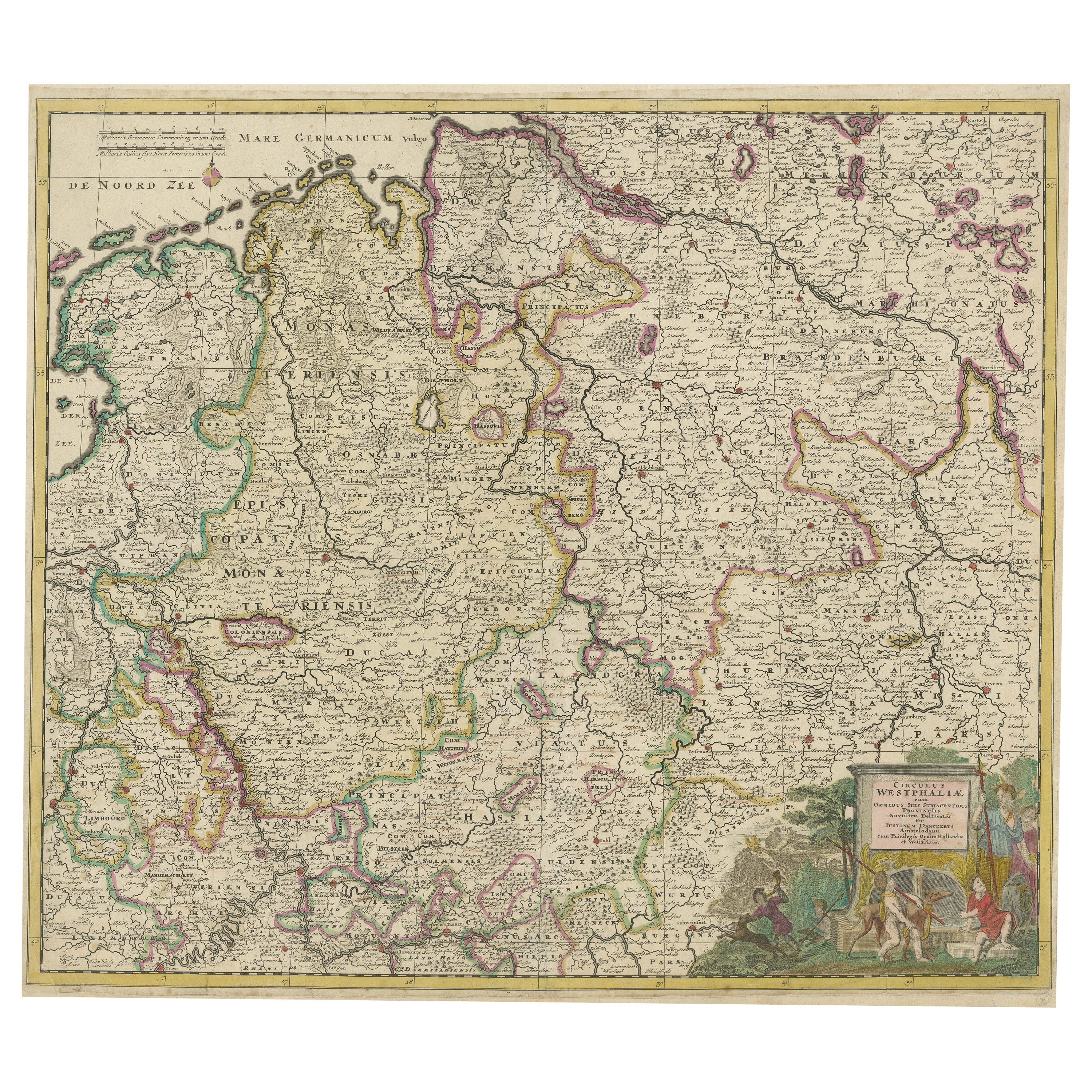
- Antique Map of the Niederrhein region, GermanyLocated in Langweer, NLAntique map titled 'Circulus Electorum Rheni sive Rhenanus Inferior (..)'. Original antique map of the Niederrhein region, Germany. By F. de Wit, circa 1690. Frederick de Wit (1629-...Category
Antique Late 17th Century Maps
MaterialsPaper
- Antique Map of Franconia, a region of Germany, '1811'By John CaryLocated in Langweer, NLAntique map titled 'A New Map of the Circle of Franconia'. Detailed map of Franconia in Northwestern Germany. Covers from Upper Saxony south to Swabia, west to the Lower Rhine and we...Category
Antique Early 19th Century Maps
MaterialsPaper
 $219 Sale Price20% Off
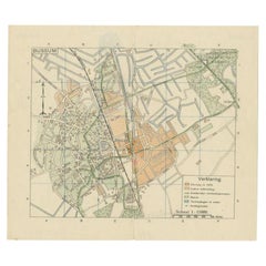
 - Antique Map of the Region of Bussum, c.1910Located in Langweer, NLAntique map titled 'Bussum'. Map of the region of Bussum, the Netherlands. Published by the 'ANWB', circa 1910. Artists and Engravers: Anonymous. Condition: Fair/good, general...Category
20th Century Maps
MaterialsPaper

Recently Viewed
View AllMore Ways To Browse
Nh Furniture
Geological Survey
Triangle Box
Burl Hanging
Original World Map
World Atlas
Map Of Itsly
Antique World Map
World Antique Map
World Map Antique
Antique Map World
Antique Maps World
Antique World Map World Maps
Antique World Maps
Antique World Maps World Maps
Old Map
French Antique Decorative Collectibles
Antique Map Of World