
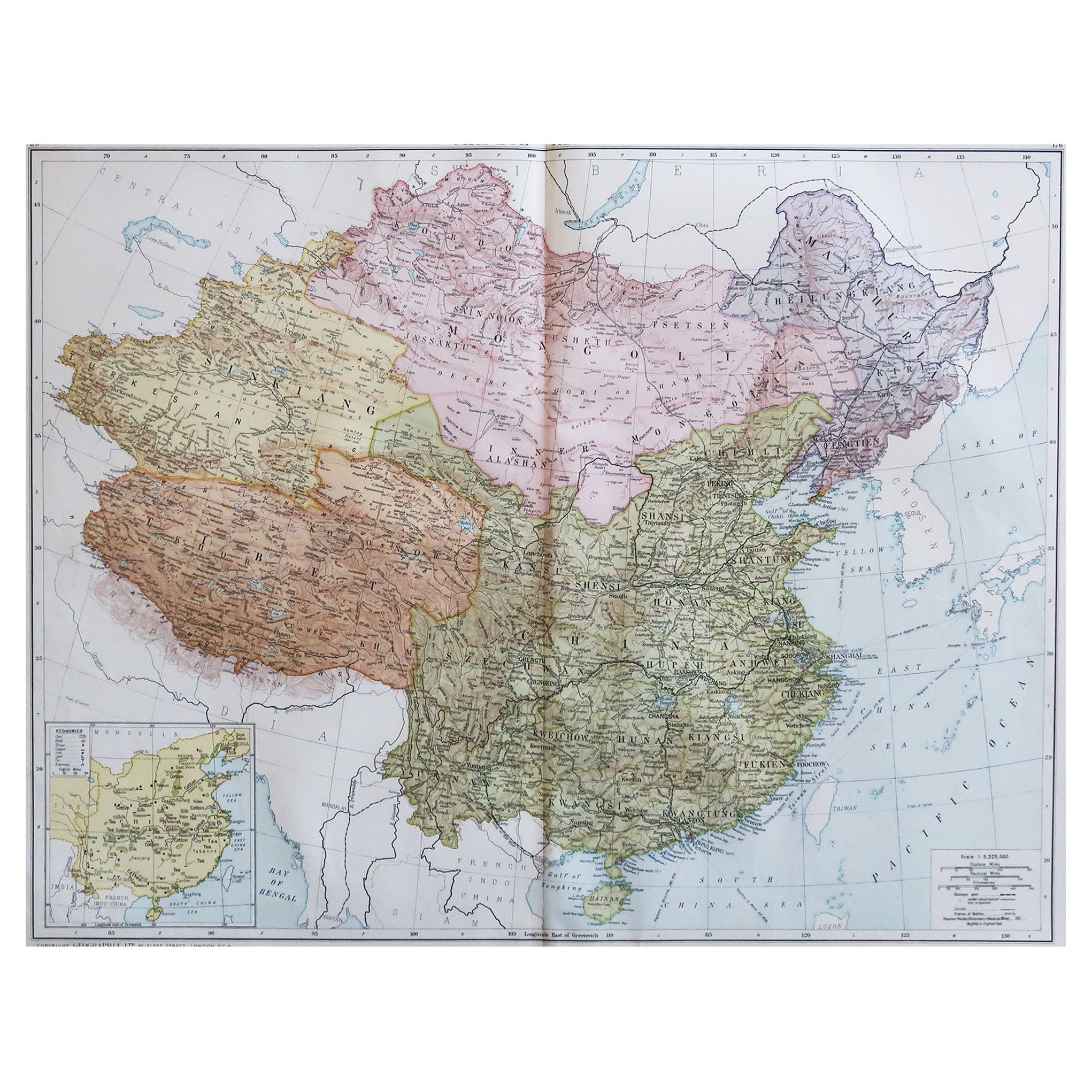
Large Original Antique Map of China, Fullarton, C.1870
View Similar Items


Want more images or videos?
Request additional images or videos from the seller
1 of 5
Large Original Antique Map of China, Fullarton, C.1870
$235List Price
About the Item
- Dimensions:Height: 18.5 in (46.99 cm)Width: 22.5 in (57.15 cm)Depth: 0.07 in (1.78 mm)
- Materials and Techniques:Paper,Other
- Place of Origin:
- Period:
- Date of Manufacture:1870
- Condition:Wear consistent with age and use.
- Seller Location:St Annes, GB
- Reference Number:1stDibs: LU1836324006482
About the Seller
4.9
Platinum Seller
Premium sellers with a 4.7+ rating and 24-hour response times
1stDibs seller since 2016
3,138 sales on 1stDibs
Typical response time: 1 hour
Associations
International Confederation of Art and Antique Dealers' Associations
Authenticity Guarantee
In the unlikely event there’s an issue with an item’s authenticity, contact us within 1 year for a full refund. DetailsMoney-Back Guarantee
If your item is not as described, is damaged in transit, or does not arrive, contact us within 7 days for a full refund. Details24-Hour Cancellation
You have a 24-hour grace period in which to reconsider your purchase, with no questions asked.Vetted Professional Sellers
Our world-class sellers must adhere to strict standards for service and quality, maintaining the integrity of our listings.Price-Match Guarantee
If you find that a seller listed the same item for a lower price elsewhere, we’ll match it.Trusted Global Delivery
Our best-in-class carrier network provides specialized shipping options worldwide, including custom delivery.More From This Seller
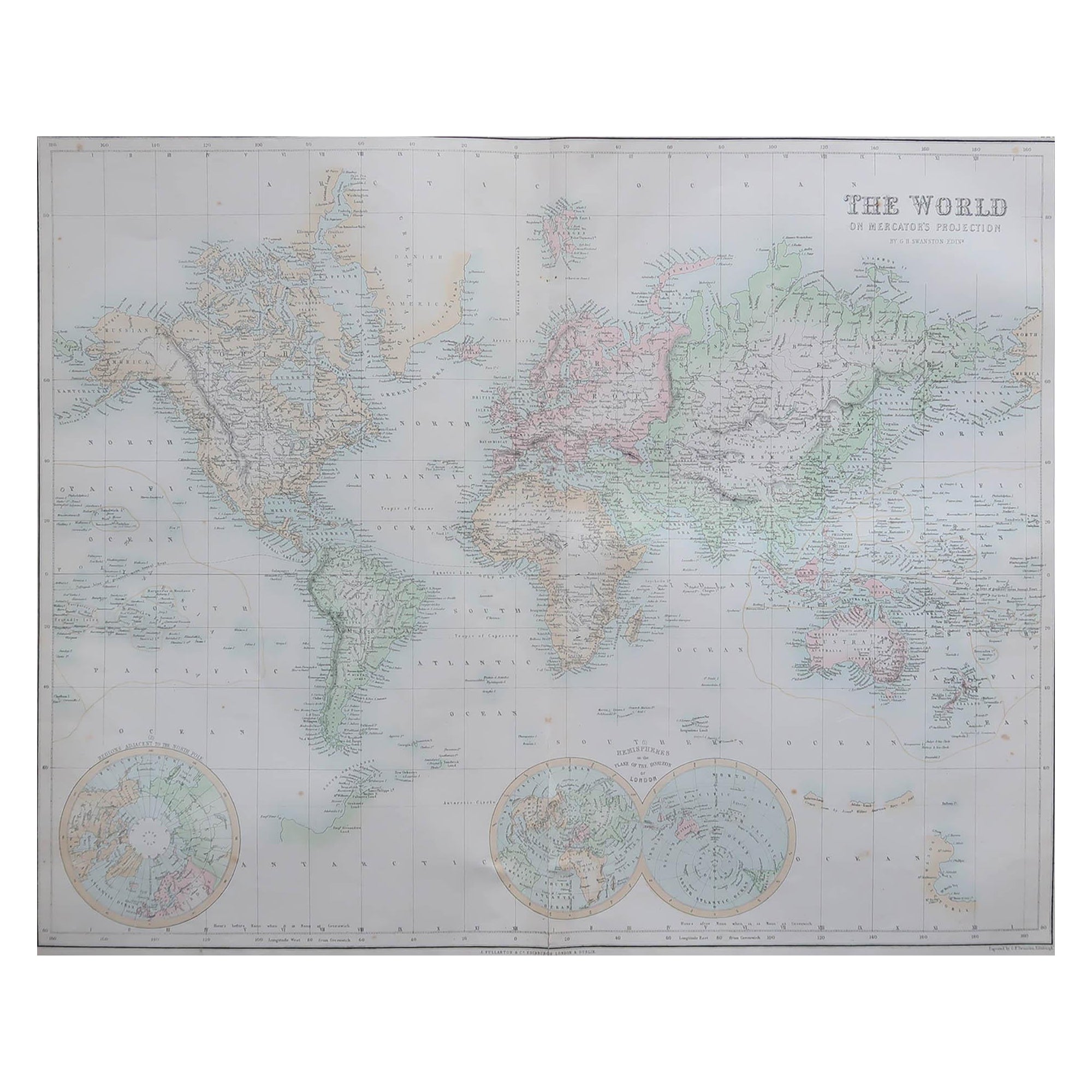
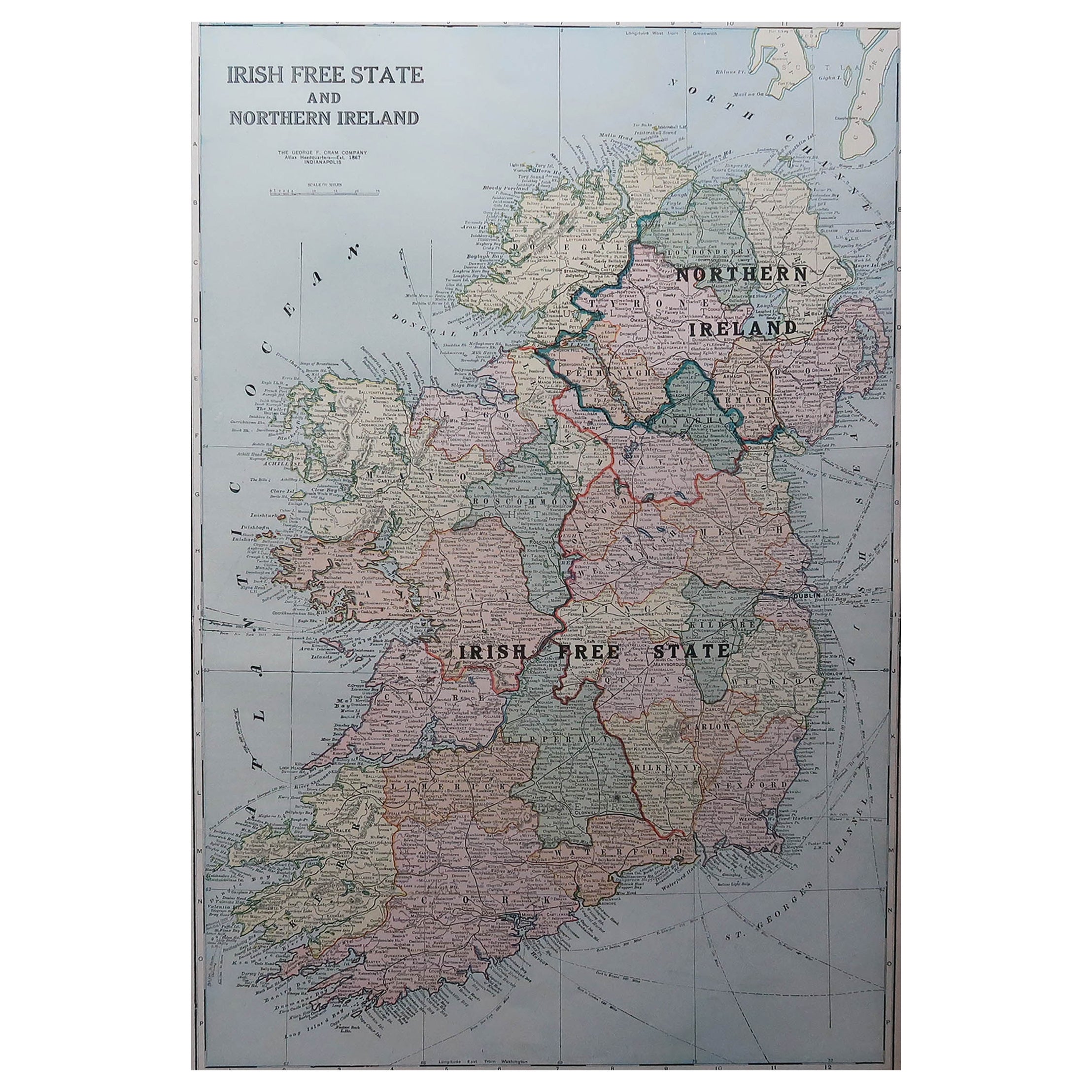
View AllLarge Original Antique Map of The World, Fullarton, C.1870
Located in St Annes, Lancashire
Great map of the World. Showing both hemispheres
From the celebrated Royal Illustrated Atlas
Lithograph. Original color.
Published by Fullarton, Edinburgh, C.1870
Unframed.
Rep...
Category
Antique 1870s Scottish Maps
Materials
Paper

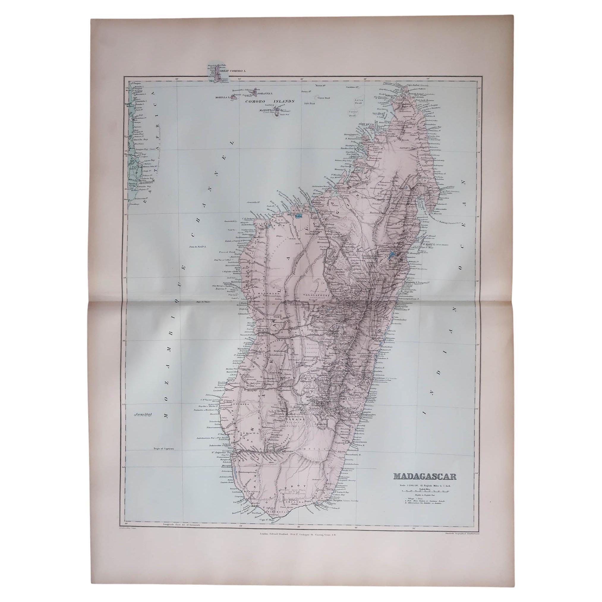
Large Original Antique Map of The Pacific Ocean, Fullarton, C.1870
Located in St Annes, Lancashire
Great map of The Pacific Ocean
From the celebrated Royal Illustrated Atlas
Lithograph by Swanston. Original color.
Published by Fullarton,...
Category
Antique 1870s Scottish Maps
Materials
Paper

Large Original Antique Map of the World, Fullarton, circa 1870
Located in St Annes, Lancashire
Great map of the World.
From the celebrated Royal Illustrated Atlas
Lithograph. Original color.
Published by Fullarton, Edinburgh, circa 1870.
Unframed.
Category
Antique 1870s Scottish Maps
Materials
Paper

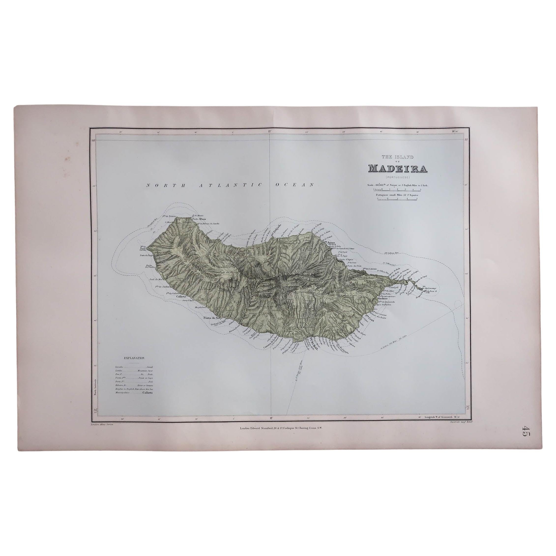
Large Original Antique Map of Java and Borneo, Fullarton, C.1870
Located in St Annes, Lancashire
Great map of Java and Borneo
Wonderful figurative borders
From the celebrated Royal Illustrated Atlas
Lithograph. Original color.
Published by Fullarton, Edinburgh. C.1870
Unfr...
Category
Antique 1870s Scottish Maps
Materials
Paper

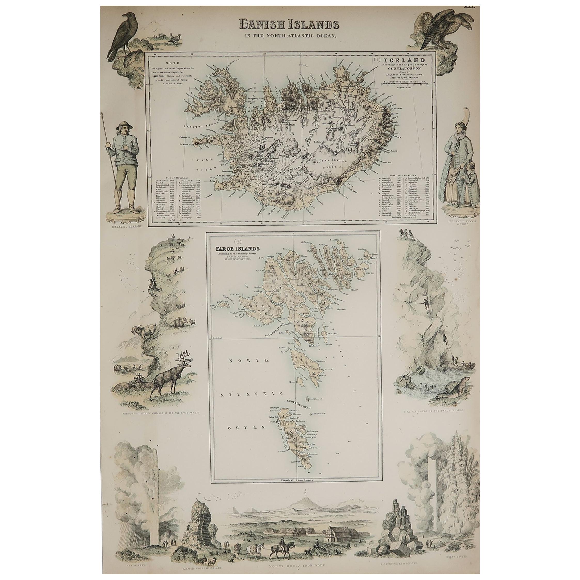
Original Antique Decorative Map of Iceland & Faroe, Fullarton, C.1870
Located in St Annes, Lancashire
Great map of Iceland and The Faroe Islands
Wonderful figural border
From the celebrated Royal Illustrated Atlas
Lithograph. Original color.
Published by Fullarton, Edinb...
Category
Antique 1870s Scottish Maps
Materials
Paper

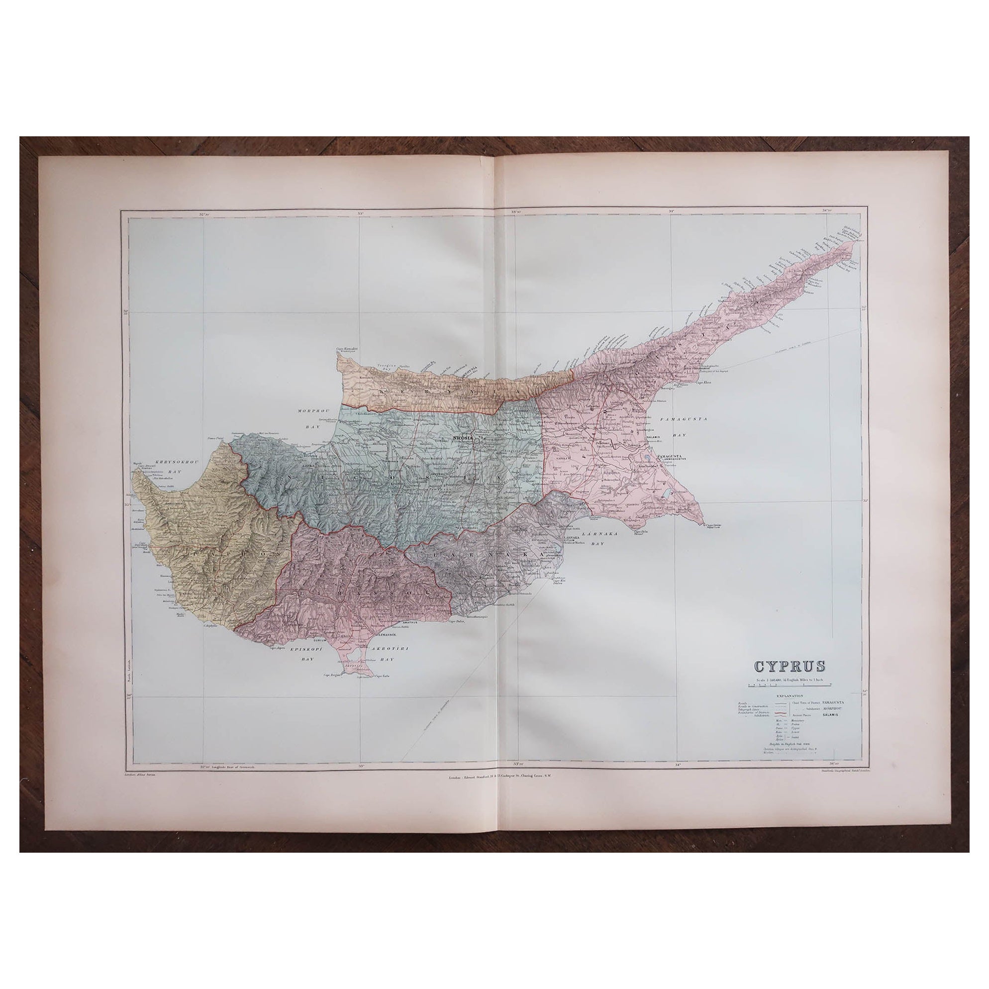
Original Antique Decorative Map of South America-West Coast, Fullarton, C.1870
Located in St Annes, Lancashire
Great map of Chili, Peru and part of Bolivia
Wonderful figural border
From the celebrated Royal Illustrated Atlas
Lithograph. Original color.
Published by Fullarton, Edi...
Category
Antique 1870s Scottish Maps
Materials
Paper

You May Also Like
Antique Map of the Region Near the Gulf of Zula, 1870
Located in Langweer, NL
Antique map titled 'Map of the Country between Annesley Bay and the Plain of Salt'. Lithographed map of the region near the Gulf of Zula, also known as Annesley Bay, Baia di Arafali ...
Category
Antique Mid-19th Century Maps
Materials
Paper

$114 Sale Price
20% Off
Antique Map of China by A & C, Black, 1870
Located in Langweer, NL
Antique map titled 'China'. Original antique map of China. This map originates from ‘Black's General Atlas of The World’. Published by A & C. Black, 1870.
Category
Antique Late 19th Century Maps
Materials
Paper

$263 Sale Price
20% Off
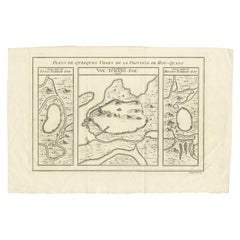
Antique Map of Three Cities of China's Hubei and Hunan Provinces by Bellin
By Jacques-Nicolas Bellin
Located in Langweer, NL
Antique print titled 'Plans de Quelques villes de la province de Hou-Quang.' Three bird's-eye view plans of walled cities in what are now China's Hubei (Hou-Quang) and Hunan Province...
Category
Antique Mid-18th Century Maps
Materials
Paper
$157 Sale Price
20% Off
Original Engraved Antique Map of the World, Colorful and Decorative, C.1780
By Pierre François Tardieu
Located in Langweer, NL
Antique map titled 'Mappemonde en Deux Hemispheres ou l'on a Indique les Nouvelles Decouvertes' - This handsome double hemisphere map presents a ...
Category
Antique 18th Century Maps
Materials
Paper

$449 Sale Price
20% Off
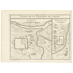
Antique Map of Si-Ngan-fu and Tchang Lan 'China' by Bellin '1748'
By Jacques-Nicolas Bellin
Located in Langweer, NL
Antique map China titled ‘Villes de la Province de Chensi’. Interesting set of two local town plans of "Si-Ngan-Fu: Capitale, Hoofdstad." and "Tchang...
Category
Antique Mid-18th Century Maps
Materials
Paper
$143 Sale Price
20% Off
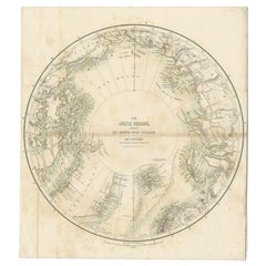
Antique Map of the North Pole by Fullarton, 1856
Located in Langweer, NL
Antique map titled 'The Arctic Regions showing the North-West Passage of Captain R. McClure'. Old map of the North Pole, displaying the Northwest Passage di...
Category
Antique 19th Century Maps
Materials
Paper
$121 Sale Price
20% Off