Items Similar to Original Historical Map of L'Ile De La Martinique by Vaugondy, 1749


Want more images or videos?
Request additional images or videos from the seller
1 of 6
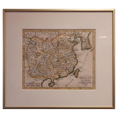
Original Historical Map of L'Ile De La Martinique by Vaugondy, 1749
About the Item
Description: De Vaugondy's map of Martinique, initially published in Paris in 1748 within his Atlas Portatif, Universel et Militaire, stands as a striking representation of the island's topography.
This cartographic masterpiece offers a detailed and comprehensive view of Martinique's geographical features. From its coastlines to its interior landscapes, the map intricately illustrates the island's topography with remarkable precision and detail.
De Vaugondy's work in this map exemplifies a mastery of cartography, presenting a thorough depiction of the terrain, rivers, mountains, and other notable geographical elements of Martinique. This map serves as a valuable historical reference, providing an in-depth understanding of the island's physical characteristics during the 18th century.
With its meticulous attention to detail and accuracy, De Vaugondy's map of Martinique remains a remarkable testament to the art and science of cartography, offering an invaluable resource for studying the island's geography and landscape in the context of the mid-18th century.
- Dimensions:Height: 8.27 in (21 cm)Width: 11.42 in (29 cm)Depth: 0 in (0.02 mm)
- Materials and Techniques:Paper,Engraved
- Period:1740-1749
- Date of Manufacture:1749
- Condition:Good condition. Minor wear due to handling and aging. Please study image carefully.
- Seller Location:Langweer, NL
- Reference Number:Seller: BG-13618-421stDibs: LU3054337505692
About the Seller
5.0
Platinum Seller
These expertly vetted sellers are 1stDibs' most experienced sellers and are rated highest by our customers.
Established in 2009
1stDibs seller since 2017
1,922 sales on 1stDibs
Typical response time: <1 hour
- ShippingRetrieving quote...Ships From: Langweer, Netherlands
- Return PolicyA return for this item may be initiated within 14 days of delivery.
Auctions on 1stDibs
Our timed auctions are an opportunity to bid on extraordinary design. We do not charge a Buyer's Premium and shipping is facilitated by 1stDibs and/or the seller. Plus, all auction purchases are covered by our comprehensive Buyer Protection. Learn More
More From This SellerView All
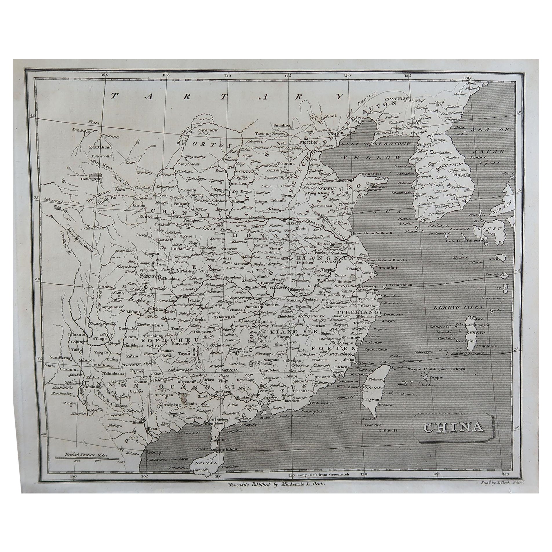
- Antique Map of China Including Korea and Taiwan by Vaugondy, 1749Located in Langweer, NLAntique map titled 'Empire de la Chine'. Beautiful map of China including Korea and Taiwan (Formosa). This map originates from 'Atlas Universel (..)' by Gilles Robert de Vaugondy, 17...Category
Antique Mid-18th Century Maps
MaterialsPaper
- Antique Map of the World by R. de Vaugondy, 1795Located in Langweer, NLAttractive world map by Vaugondy but corrected and issued by Lamarche in year 3 of the French Revolution. Decorative cartouches.Category
Antique Late 18th Century Maps
MaterialsPaper
- Antique Map of America by Vaugondy, 1778Located in Langweer, NLAntique map titled 'Amerique ou Indes Occidentales (..)'. Vaugondy's map of America, pre-dating information from any of the Cook Voyages. The NW Coast of Amer...Category
Antique Late 18th Century Maps
MaterialsPaper
- Antique Map of the Indonesian and Philippine Archipelagos by R. de VaugondyLocated in Langweer, NLStriking and highly detailed map of the region from Sumatra and Malaca and Southern China to the Philipines, New Guinea and Northern Australia, centered on Borneo. Includes a large i...Category
Antique Mid-18th Century Maps
MaterialsPaper
- Original Antique Map of Egypt by Van Dùren '1749'Located in Langweer, NLDecorative German antique engraving with titled 'Neue Vorstellung von Aegypten (..)'. It concerns a rare original antique map of Egypt. This map o...Category
Antique Mid-18th Century Maps
MaterialsPaper
- Antique Map of Île de Ré and Île d'Oléron by Janssonius, 1657By Johannes JanssoniusLocated in Langweer, NLAntique map 'Insulae Divimartini et Vliarus vulgo l'isle de Re et Oleron'. Decorative map of Île de Ré and Île d'Oléron. This map originates from 'Atlas Novu...Category
Antique Mid-17th Century Maps
MaterialsPaper


You May Also Like
- Map Colonies Francaises Martinique, 1845Located in BUNGAY, SUFFOLKColonies Francaises, Martinique, Amerique DU SUD Geographie et Statistique par V.Levasseur. Ing'r Geographe. Illustre par Raymond Bonheur, peintre. Grave par Laguihermie, Rue St...Category
Antique 19th Century French Maps
MaterialsPaper
- California, Alaska and Mexico: 18th Century Hand-Colored Map by de VaugondyBy Didier Robert de VaugondyLocated in Alamo, CAThis an 18th century hand-colored map of the western portions of North America entitled "Carte de la Californie et des Pays Nord-Ouest separés de l'Asie par le détroit d'Anian, extra...Category
Antique 1770s French Maps
MaterialsPaper
- 1751 Map of Spain Castilla Robert De Vaugondy 1st Edition, Ric.a001Located in Norton, MALarge Spain Castilla Robert De Vaugondy 1751 1st Edition -Colored- Ric.a001 Coming from a family of cartographers, a descendant of the famous Nicolas Sanson and ordinary geographer of the king, Gilles Robert de Vaugondy makes himself known by his maps of the French provinces. He published an Essay on the History of Geography (1755) from which he excluded the physical geography "too systematic". After a Small Atlas (1748), he draws a universal Atlas (1758), a portable Atlas (1762). His Atlas of the revolutions of the globe remains unpublished. His warnings and prefaces, his book reviews reveal a Cartesian mind and solid knowledge. Very early, he associates with his works his son Didier who publishes, since 1742, the methodical tables of Nicolas Sanson, two Globes, one terrestrial, the other celestial (1752). He is credited with a map of Poland...Category
Antique 18th Century Unknown Maps
MaterialsPaper
- Map Kyle Carrick Aireshire Thomas Kitchen 1749By Thomas KitchinLocated in BUNGAY, SUFFOLKA Map of Kyle & Carrick Aireshire Thomas Kitchen 1749 In original black and gold frame Just purchased more information to follow MAKER Thomas Kitchin (1718-1784) English engrave...Category
Antique 18th Century English Georgian Maps
MaterialsPaper
- 1633 map, entitled "La douche de Berry, " Original Hand Colored Ric.0005Located in Norton, MA1633 map, entitled "La douche de Berry," Hand Colored Ric.0005 Description: 1633 map, entitled "La douche de Berry," Dimension: Paper: 23.3" W x 20.3" H (59 cm W x 51.7 cm H) ; ...Category
Antique 17th Century Dutch Maps
MaterialsPaper
- 1633 Map, Entitled "La Douche De Berry, " Original Hand Colored Ric.0005Located in Norton, MA1633 map, entitled. "La douche de Berry," Hand Colored Ric.0005 Description: 1633 map, entitled "La douche de Berry,". Dimension: Paper: 23.3" W x 20.3" H (59 cm W x 51.7...Category
Antique 17th Century Unknown Maps
MaterialsPaper


Recently Viewed
View AllMore Ways To Browse
Antique Compass France
John Speed Isle Of Wight Maps
Compass France
Isle Of Wight Maps
Old French Map
Ancient Map Of Israel
John Tallis Map
Austria Hungary Map
Kiribati Islands Map
Map Of Kiribati Islands
Montana Maps
Oman Map
Palliser Furniture
Barbados Map
Map Of Barbados
Britton And Rey Lithograph
Christoph Weigel On Sale
Clivia Ducatus Et Ravestein Dominium