American Classical Maps
6
to
5
1
6
6
6
48
34
15
9
7
6
5
4
4
2
1
1
1
5
1
1
1
6
3
3
1
1
4
4
1
1
1
1
Style: American Classical
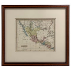
Framed 1838 Mexico & Gulf of Mexico Map
Located in Stamford, CT
Framed 1838 Mexico & Gulf of Mexico map. Printed by Fisher, Son & Co. of London in 1838. As found framed condition. Map has not been examined outside of th...
Category
1830s English Antique American Classical Maps
Materials
Glass, Wood, Paper
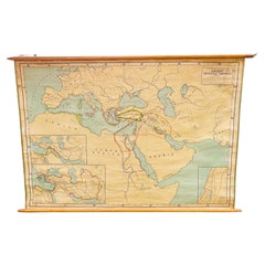
Antique Rand McNally & Company Schoolmap. Ancient Oriental Empires. Historical
Located in ROTTERDAM, ZH
This is a real unique map made by the famous Rand McNally Company. This rare schoolmap is probably made in the late 1920's. The map of all the ...
Category
1920s American Vintage American Classical Maps
Materials
Fabric, Paper
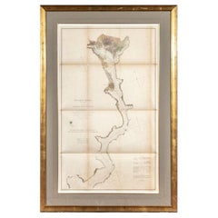
1864 U.S. Coast Survey of the Potomac River, from Indian Head to Georgetown
Located in Bridgeport, CT
An antique nautical map with hand-painted color accents entitled "Potomac River (in four sheets): Sheet no. 4, from Indian Head to Georgetown". Created b...
Category
19th Century Antique American Classical Maps
Materials
Paper
Framed 1839 Hand Colored Map of the United States
Located in Stamford, CT
Framed hand colored map of the United States of America from 1839. Newly framed in a giltwood frame.
Category
1830s American Antique American Classical Maps
Materials
Giltwood, Paper, Glass
Large Custom Framed 1857 U.S. Coast Survey of the Chesapeake Bay
Located in Bridgeport, CT
An antique 1850's nautical map with hand-painted color accents entitled “Chesapeake Bay; Sheet no. 2: Head of the Bay to the Mouth of the Potomac River”....
Category
1850s American Antique American Classical Maps
Materials
Paper
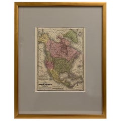
1830 Mexico and United States Framed Map
Located in Stamford, CT
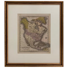
Map of North America published circa 1830. Map shows United States into Canada. Mexico extending into the upper California territory. Texas appears in name but prior to the period of...
Category
1830s American Antique American Classical Maps
Materials
Glass, Wood, Paper
Related Items
Antique Map of the United States of America, also showing the Caribbean
Located in Langweer, NL
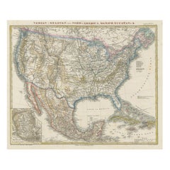
Antique map titled 'Verein-Staaten von Nord-America, Mexico, Yucatan u.a.'. Very detailed map of the United States of America showing the ...
Category
Mid-19th Century Antique American Classical Maps
Materials
Paper
H 14.38 in W 17.88 in D 0.02 in
Original Antique Map of The United States of America, circa 1890
Located in St Annes, Lancashire
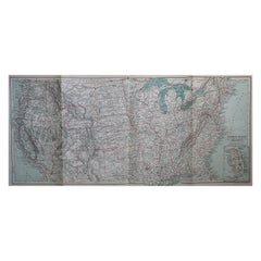
Great map of the USA
By The Stanford's Geographical Establishment
Original colour
Unframed.
Category
1890s English Antique American Classical Maps
Materials
Paper
Ancient Italy: Regions and Rome in the Roman Empire, Published in 1880
Located in Langweer, NL
This print is an original detailed map titled "ITALIAE REGIONES I VII VIII IX XI," representing the regions of ancient Italy.
Key Features of the Print:
1. **Regional Demarcations...
Category
1880s Antique American Classical Maps
Materials
Paper
No Reserve
H 15.56 in W 18.51 in D 0 in
Large Original Vintage Map of The World, circa 1920
Located in St Annes, Lancashire
Great map of The World
Original color.
Good condition / minor foxing
Published by Alexander Gross
Unframed.
Category
1920s English Vintage American Classical Maps
Materials
Paper
Large Original Antique Map of the World, Fullarton, circa 1870
Located in St Annes, Lancashire
Great map of the World.
From the celebrated Royal Illustrated Atlas
Lithograph. Original color.
Published by Fullarton, Edinburgh, circa 1870.
Unframed.
Category
1870s Scottish Antique American Classical Maps
Materials
Paper
No Reserve
H 18.5 in W 22.5 in D 0.07 in
2 Large Vols Antique Reference Book, Egypt - Historical and Picturesque, English
Located in Hele, Devon, GB
This is 2 large volumes of the antique reference book 'Egypt - Descriptive, Historical and Picturesque by G. Ebers. An English translation by Clara Bell, wi...
Category
Late 19th Century British Antique American Classical Maps
Materials
Textile, Paper
H 14.97 in W 12.01 in D 1.38 in
Antique Ophthalmometer Eye Machine by General Optical Company
Located in Norwalk, CT
This Antique Universal Ophthalmometer Eye Exam Machine by General Optical Company is stamped “Pat Oct 24th 1911”. This is an optical optometrist device to mea...
Category
Early 20th Century American Classical Maps
The World in the Assyrian Empire's Era: A Historical Map, Published in 1880
Located in Langweer, NL
This map from the "Spruner-Menke Atlas Antiquus" is titled "ORBIS TERRARVM regni Assyrii tempore," which translates to "The World at the Time of the Assyrian Kingdom." It depicts the...
Category
1880s Antique American Classical Maps
Materials
Paper
Free Shipping
H 15.56 in W 18.51 in D 0 in
Engraving of a Map of Florida, the Gulf Coast, Caribbean & Central America, 1728
Located in Langweer, NL
This exceptional antique map, titled "Nouvelle Carte Marine de Toute les Cotes de l´Amerique" and alternatively known as "Nieuwe groote en seer Curieuse Paskaart van Geheel-WestIndie...
Category
Mid-18th Century European Antique American Classical Maps
Materials
Paper
Free Shipping
H 24.61 in W 40.56 in D 0.02 in
Museum Replica Fragment of a Marble Votive Relief from the Acropolis of Athens
Located in Nuernberg, DE
Offered is a reproduction of a relief piece made from a cast of the original marble relief and hand finished by skilled artisans to ensure its accuracy and authenticity. It is a beautiful representation of the original and gives an insight into the culture of ancient Greece.
The Certificate of Authenticity certifies that the marble votive...
Category
1960s Greek Vintage American Classical Maps
Materials
Plaster
H 12 in W 6.25 in D 2 in
Original Engraving of the West Indies, Gulf of Mexico, Antilles, Caribbean, 1780
Located in Langweer, NL
Rigobert Bonne and G. Raynal's 1780 map of the West Indies, Gulf of Mexico, Antilles, and the Caribbean stands as a remarkable cartographic piece, offering a detailed and expansive v...
Category
Late 18th Century Antique American Classical Maps
Materials
Paper
H 9.85 in W 15.16 in D 0 in
Cased Ship Model of the United States Frigate "Essex" 1799
Located in Bridgeport, CT
Finely made three masted ship model (1/8” inch =1 ‘ Scale) with carved wood details and painted with string details. Includes Masthead Sculpture, two Anchor...
Category
20th Century American Classical Maps
Materials
Wood
American Classical maps for sale on 1stDibs.
Find a broad range of unique American Classical maps for sale on 1stDibs. Many of these items were first offered in the Early 20th Century, but contemporary artisans have continued to produce works inspired by this style. If you’re looking to add vintage maps created in this style to your space, the works available on 1stDibs include more furniture and collectibles, wall decorations and other home furnishings, frequently crafted with paper, glass and other materials. If you’re shopping for used American Classical maps made in a specific country, there are North America, and United States pieces for sale on 1stDibs. While there are many designers and brands associated with original maps, popular names associated with this style include and Rand McNally & Co.. It’s true that these talented designers have at times inspired knockoffs, but our experienced specialists have partnered with only top vetted sellers to offer authentic pieces that come with a buyer protection guarantee. Prices for maps differ depending upon multiple factors, including designer, materials, construction methods, condition and provenance. On 1stDibs, the price for these items starts at $472 and tops out at $3,600 while the average work can sell for $1,450.
Recently Viewed
View AllMore Ways To Browse
Antique Mexican Maps
Antique Nautical Map
Antique Classroom
Antique Map Box
Sea Chart Map
Antique Nautical Maps
Mexican Antique Map
Antique Nautical Charts
King Charles I Of England
17th Century Corpus
Antique Celestial Maps
Antique Celestial Map
Celestial Maps Antique
Antique Map Middle East
Vintage Wooden Roller
Middle East Antique Map
Topographical Plate
Central America Map
