Items Similar to Title: Mid-19th Century Map of Australasia by Carl Flemming - 1855

Want more images or videos?
Request additional images or videos from the seller
1 of 8
Title: Mid-19th Century Map of Australasia by Carl Flemming - 1855
About the Item
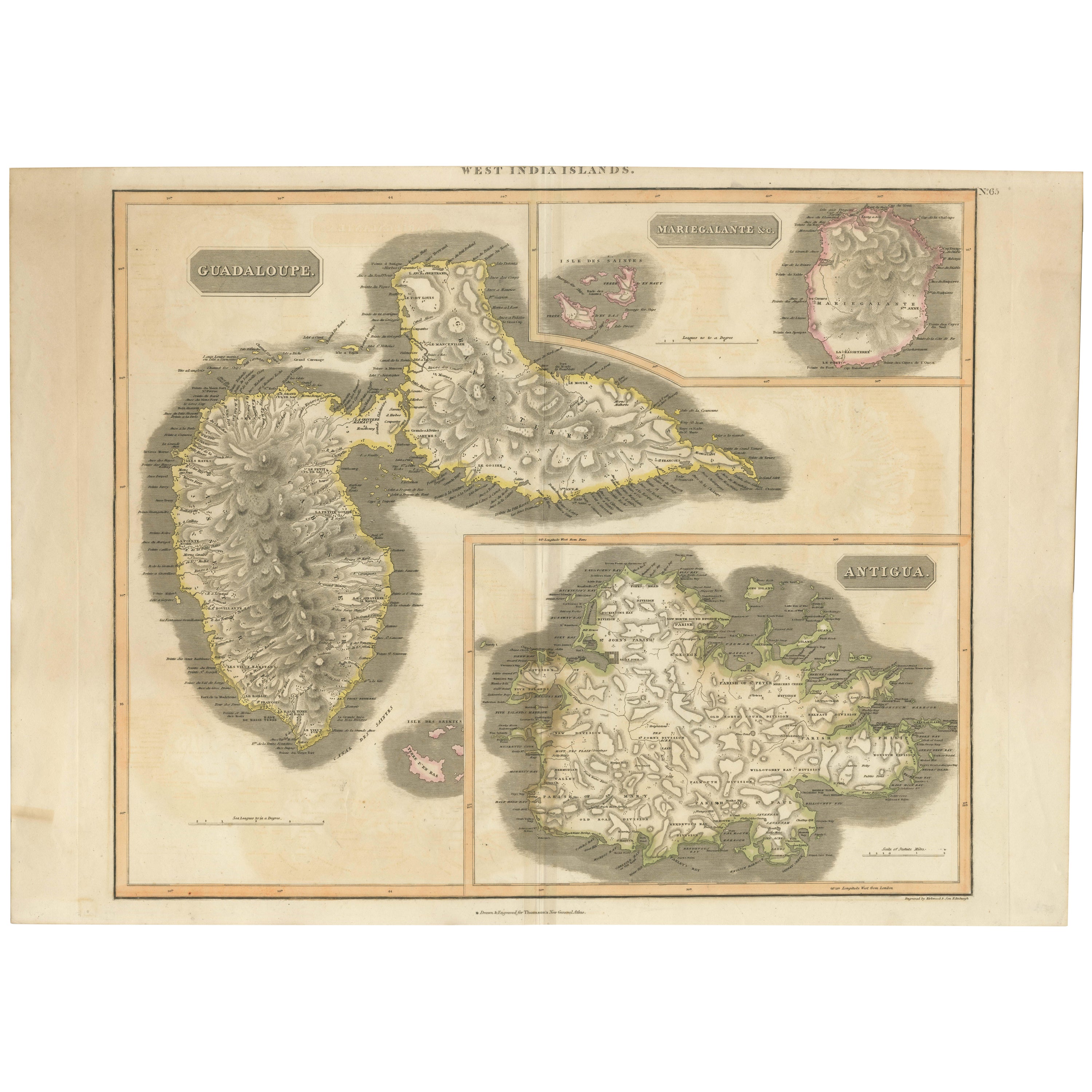
Title: "Mid-19th Century Map of Australasia by Carl Flemming - 1855"
Description: This original 1855 antique map from the Sohr-Berghaus Atlas, created by Carl Flemming, is a detailed cartographic representation of Australasia, encompassing Australia, New Zealand, parts of Indonesia and Polynesia, as well as the broader Pacific Ocean. The map is annotated in German, with "Australië" indicating the focus on the Australian continent, which is depicted with its major geographical features, including mountain ranges, rivers, and regional boundaries.
Australia is centrally highlighted, with "AUSTRAL-LAND" boldly marked, showing the territories as they were known in the mid-19th century. The map's detail extends to the surrounding regions, noting significant islands, the expanse of the Pacific Ocean, and parts of the East Indies and the Far East, including China.
At the bottom, the map includes meticulously crafted diagrams and charts. These likely represent the comparative lengths of rivers and mountain elevations, common inclusions for maps of this era to provide additional context and understanding of the region's topography.
The map's historical value is notable, as it would have been used for educational purposes and by those with interests in geography, navigation, and colonial activities during that time. It serves as a historical snapshot, capturing the state of geographical knowledge and territorial understanding of Australasia in the 1850s.
- Dimensions:Height: 14.06 in (35.7 cm)Width: 17.52 in (44.5 cm)Depth: 0 in (0.02 mm)
- Materials and Techniques:
- Period:
- Date of Manufacture:1855
- Condition:Very good. General age-related toning and/or occasional minor defects from handling. Please study scan carefully.
- Seller Location:Langweer, NL
- Reference Number:Seller: BG-13700-21stDibs: LU3054338390322
About the Seller
5.0
Platinum Seller
These expertly vetted sellers are 1stDibs' most experienced sellers and are rated highest by our customers.
Established in 2009
1stDibs seller since 2017
1,932 sales on 1stDibs
Typical response time: <1 hour
- ShippingRetrieving quote...Ships From: Langweer, Netherlands
- Return PolicyA return for this item may be initiated within 14 days of delivery.
Auctions on 1stDibs
Our timed auctions are an opportunity to bid on extraordinary design. We do not charge a Buyer's Premium and shipping is facilitated by 1stDibs and/or the seller. Plus, all auction purchases are covered by our comprehensive Buyer Protection. Learn More
More From This SellerView All
- Antique Map of Australasia by Lowry, 1852Located in Langweer, NLAntique map titled 'Australasia'. Original map of Australasia. This map originates from 'Lowry's Table Atlas constructed and engraved from the most recent Authorities' by J.W. Lowry....Category
Antique Mid-19th Century Maps
MaterialsPaper
- Antique Map of Polynesia and Australasia by Neele, 1825Located in Langweer, NLAntique map titled 'Polynesia and Australasia'. It shows Australia (New Holland), part of Asia, New Zealand and many islands. This map originates from 'Encyclopedia Londinensis'.Category
Antique Early 19th Century Maps
MaterialsPaper
- Antique Map of Italy by Andriveau-Goujon, 1855Located in Langweer, NLAntique folding map of Italy titled 'Italie'. Detailed map of Italy. The map originates from 'Atlas Universel' and is mounted on linen.Category
Antique Mid-19th Century Maps
MaterialsPaper
- Antique 19th Century Map of China by Blackie & Son, 1882Located in Langweer, NLThis map is an 1882 Blackie & Son map of China. The title "CHINA." is prominently displayed at the bottom. The map is colored to differentiate various regions, possibly indicating di...Category
Antique 1880s Maps
MaterialsPaper
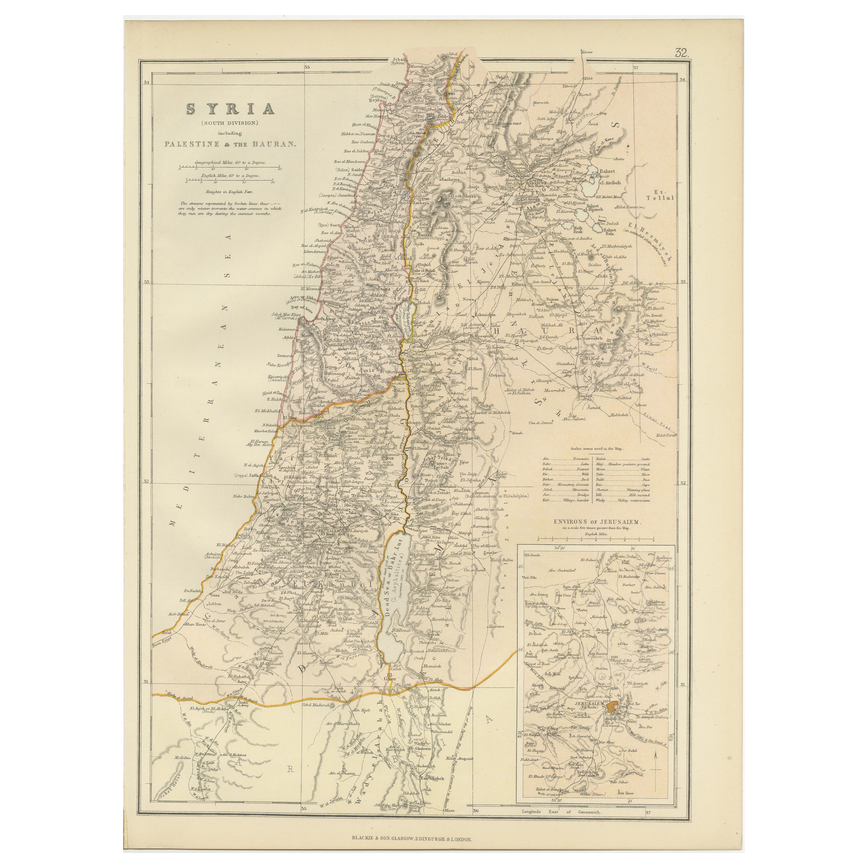
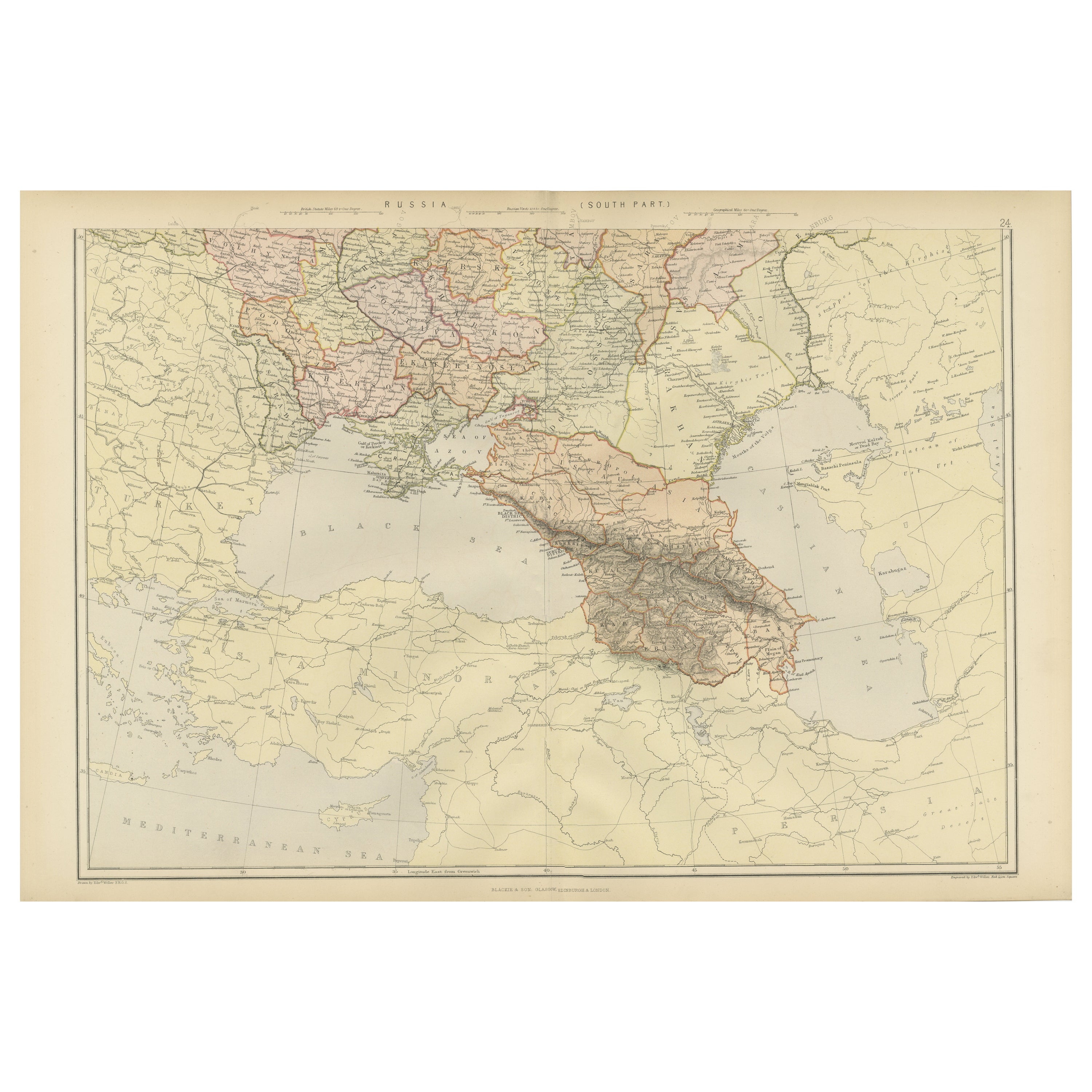
- Mid 19th Century Map of the Black Sea with Decorative Vignettes, 1851Located in Langweer, NLMap of the Black Sea and contingent lands, including Turkey, Russia, Georgia, Azerbaijan, Bulgaria, Crimea and Armenia, with decorative vignettes views of Sebastopol, Varna, Odessa, Sinope, Constantinople and Silistria. Fine antique map...Category
Antique Mid-19th Century Maps
MaterialsPaper
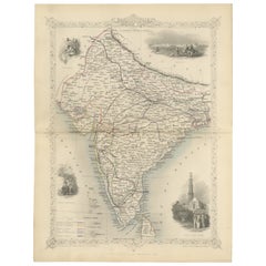
- Mid-19th Century Decorative Map of India with Cultural and Natural VignettesLocated in Langweer, NLThe Tallis maps, including the one of India, are known for their detailed and ornamental style. They were produced during the mid-19th century, a time when cartographic publishing be...Category
Antique 1850s Maps
MaterialsPaper


You May Also Like
- Louisiana: A Framed 19th Century Map by O. W. GrayBy Gray and CoLocated in Alamo, CAThis framed 19th century map of the Louisiana territory was published in "Gray's Atlas of the United States with General Maps of the World, accompanied by Descriptions Geographical, Historical, Scientific and Statistica" published in 1873 in Philadelphia by O.W. Gray and Son and Stedman, Brown and Lyon. It is a highly detailed map of Louisiana...Category
Antique Mid-19th Century American Other Maps
MaterialsPaper
- Framed Mid-19th Century Wall Map of Long Island, the HamptonsLocated in Sag Harbor, NYA Framed museum quality find. This large wall map dates to the mid-1800s. Detailed inset maps of, Sag Harbor, East Hampton, Amagansett, Shelter Island and most villages in Long Islan...Category
Antique Mid-19th Century American Maps
MaterialsLinen, Paper
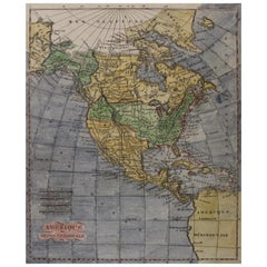
- America "Amérique Septentrionale": A 19th Century French Map by DelamarcheBy Maison Delamarche 1Located in Alamo, CAThis framed mid 19th century map of North America entitled "Amérique Septentrionale" by Felix Delamarche was published in Paris in 1854 by Quay de l'Horloge du Palais, avec les Carte...Category
Antique Mid-19th Century American Other Maps
MaterialsPaper
- Early 19th Century Hand Coloured Map of North America by Aaron ArrowsmithBy Aaron ArrowsmithLocated in Hamilton, OntarioHand coloured map in French by English cartographer Aaron Arrowsmith (1750–1823) titled "Amerique Septentionale" (North America). Map size: 9.5" x 8" Mat size: 20.5" x 14.25".Category
Antique Early 19th Century English Maps
MaterialsPaper
- William Gladstone Antique Signed Title Page, 19th CenturyLocated in Jersey, GBA William Gladstone signed and inscribed title page. William Gladstone is the only person to serve four terms as Prime Minister of the United Kingdom. He was first elected in 1868 and turned 84 during his final term in 1894. In that time he pushed for fundamental reforms, including votes for women and independence for Ireland. He remains one of Britain’s most inspirational leaders. This is the front page of an auction catalogue dated January 30, 1893 – Gladstone’s final year as Prime Minister. Along the left hand margin Gladstsone has written “Please send … lots as usual and c.o. 10 Downing St.” Gladstone autographs that mention 10 Downing Street, his Prime Ministerial address, are highly prized. Below you’ll find an excellent Gladstone signature and the date. Gladstone was a keen antiquarian and amassed a vast library of books...Category
Antique 1890s English Historical Memorabilia
MaterialsPaper
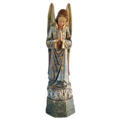
- Mid 19th Century Angel SculptureLocated in HEVERLEE, BEMid 19th century French, parcel gilt and polychrome wood carved angel, coming from a convent near Ghent (Lede). Winged Gabriel kneeling on it's faux marble painted base, still in goo...Category
Antique 19th Century French Statues
MaterialsWood


Recently Viewed
View AllMore Ways To Browse
Greek Map 1920
Marne Map
Antique Slovenia
Galicia Map
Antique Maps Sumatra
Santa Cruz Solomon Islands
Georg Barque
F V Hayden
Original Antique Map Of World
Map Zanzibar
Matthew Seutter On Sale
Minature Map
Vincenzo Coronelli On Sale
1681 Moses Pitt
Anguilla Map
Antique Cabbage Cutter
Antique Maps Denver
Antique Maps Washington Dc