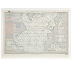
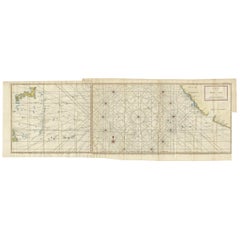
Vintage Pilot Chart of the North Atlantic Ocean
View Similar Items

1 of 2
Vintage Pilot Chart of the North Atlantic Ocean
About the Item
- Dimensions:Height: 22 in (55.88 cm)Width: 30 in (76.2 cm)Depth: 1.25 in (3.18 cm)
- Place of Origin:
- Period:
- Date of Manufacture:20th Century
- Condition:Wear consistent with age and use.
- Seller Location:Chicago, IL
- Reference Number:Seller: HG1470131stDibs: LU87766603473
You May Also Like
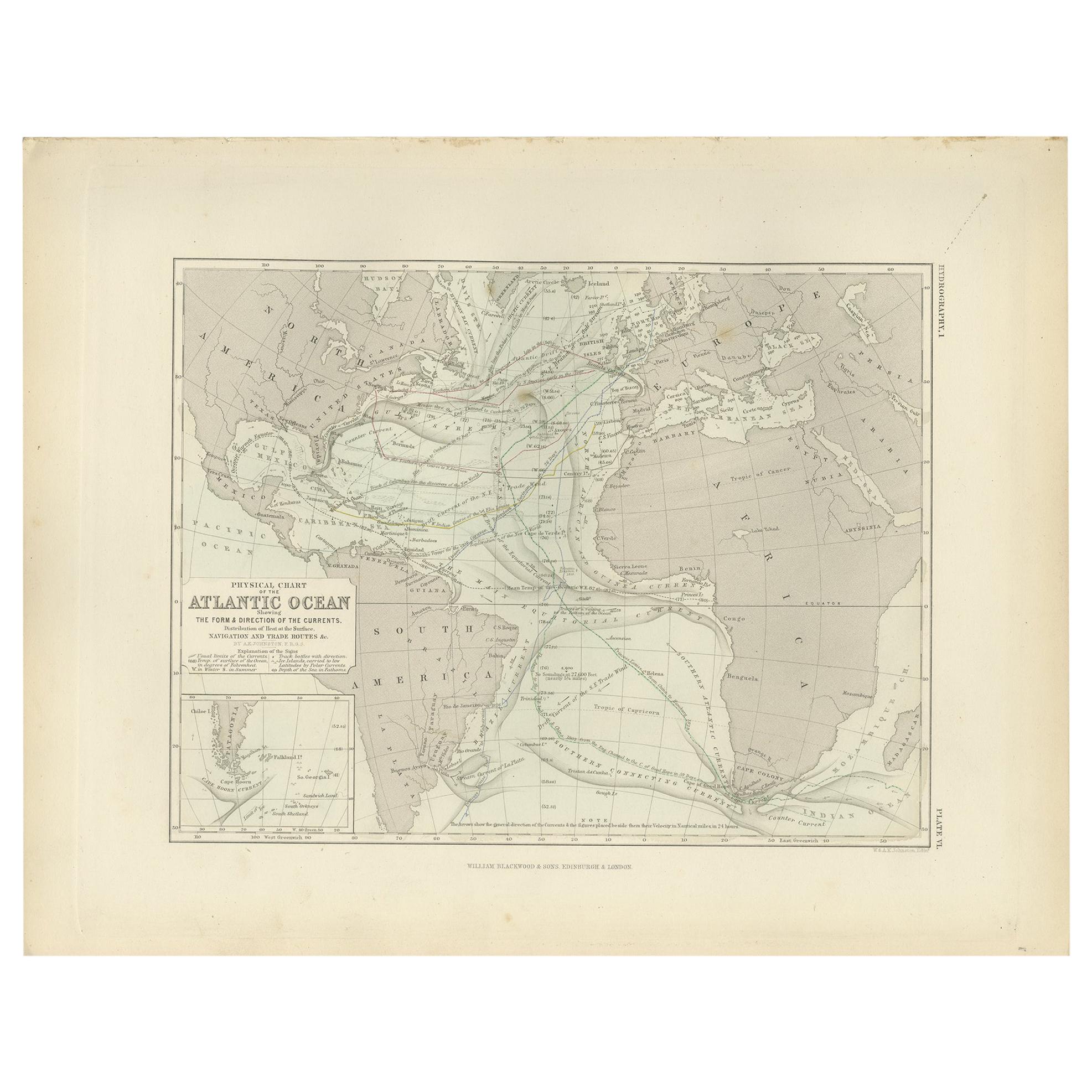
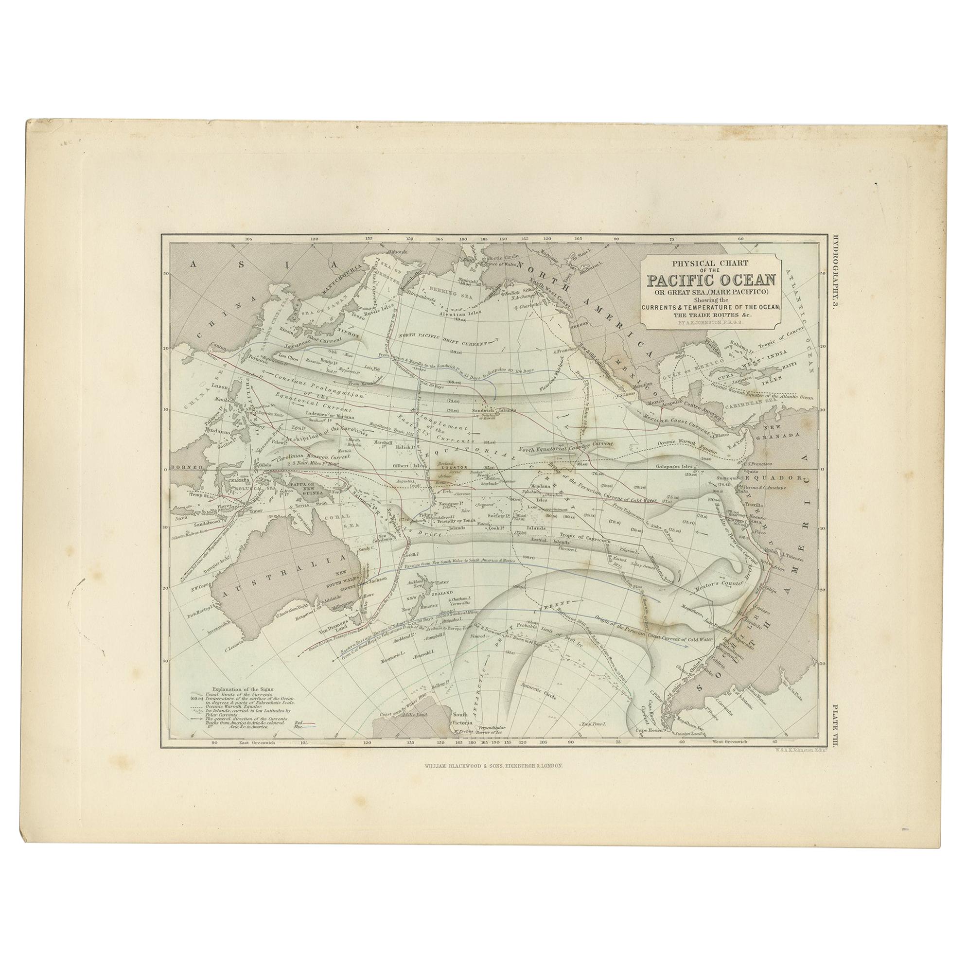
- Antique Physical Chart of the Atlantic Ocean by Johnston '1850'Located in Langweer, NLAntique map titled 'Physical Chart of the Atlantic Ocean showing the form and direction of the currents'. Original antique chart of the Atlantic Ocean. This map originates from 'The ...Category
Antique Mid-19th Century Maps
MaterialsPaper
- Original Imray & Son Chart of North Atlantic, 1876Located in Norwell, MANautical chart of the North Atlantic showing the Eastern United States coast, Caribbean Islands, South America (Venezuela and ), British Possessions (Canada - Gulf of Lawrence, Newfo...Category
Antique 1870s Nautical Objects
MaterialsPaper
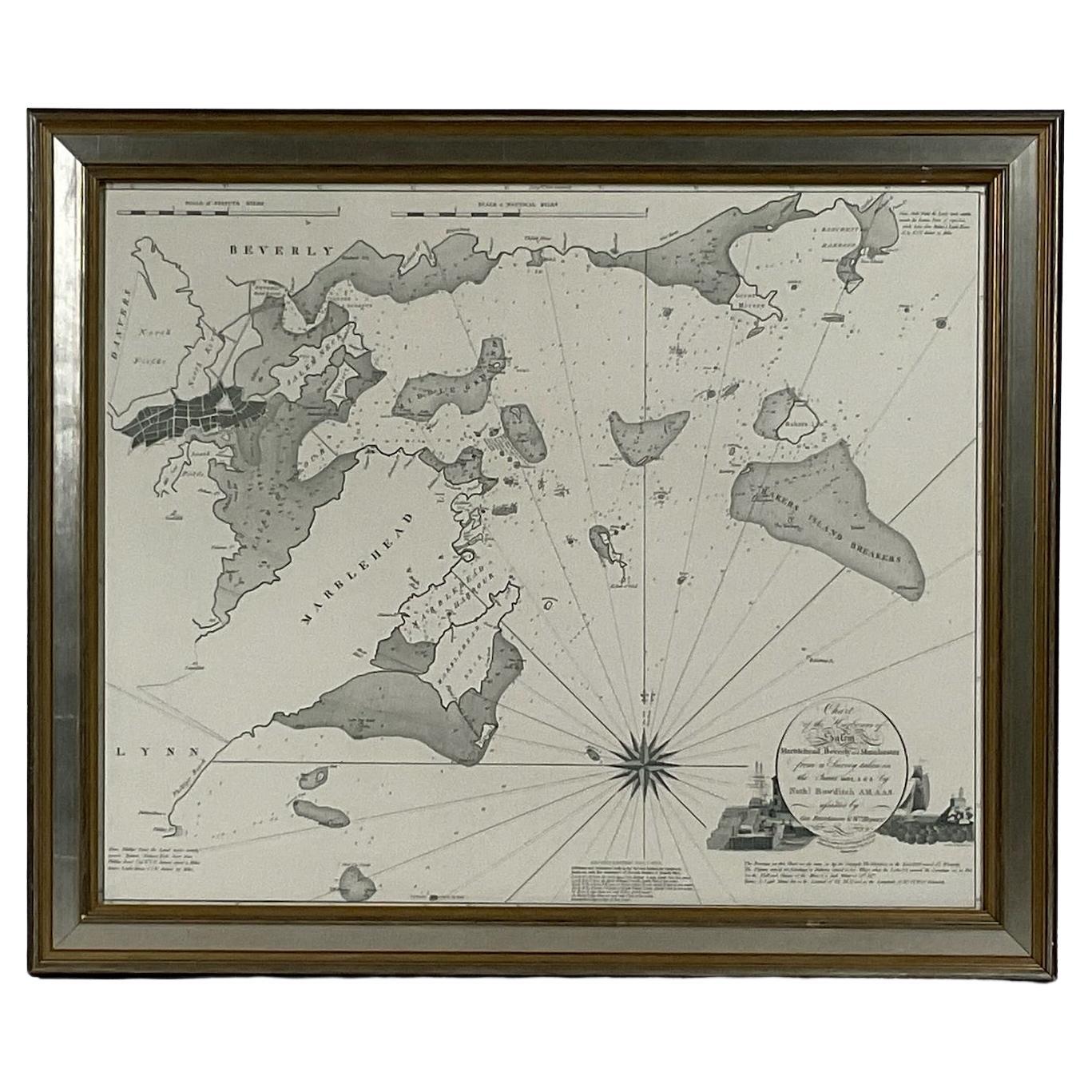
- Chart of Boston's North ShoreLocated in Norwell, MARarely found restrike of an 1804 chart by Nathanael Bowditch of the Harbors of Salem, Marblehead, Beverly, and Manchester. Showing the Islands of Great Misery, Satan, Cuney, Winter,...Category
Vintage 1980s North American Maps
MaterialsPaper
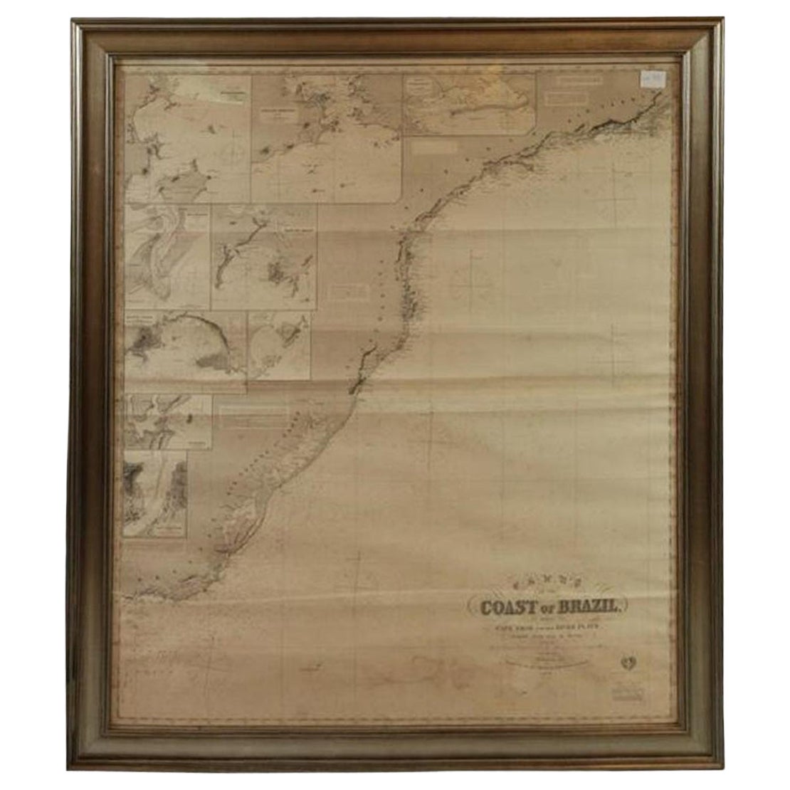
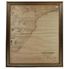
- Imray Ocean Chart of the Coast of Brazil 1876Located in Norwell, MAImray & Son 1876 Nautical chart of the Coast of Brazil between Cape Frio and the River Plate. Nicely framed. Overall Dimensions: 46" H x 56" W.Category
Antique 1870s Nautical Objects
MaterialsPaper
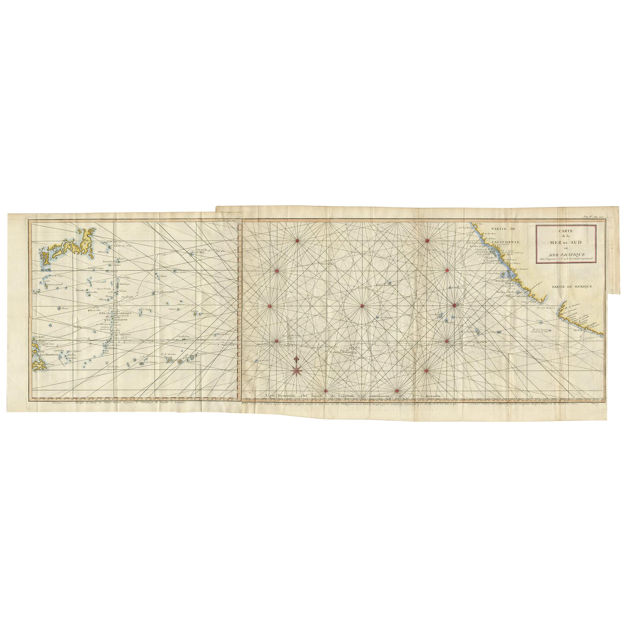
- Antique Chart of the Mid-Pacific Ocean by Anson, 'c.1784'Located in Langweer, NLAntique map titled 'Carte de la Mer du Sud ou Mer Pacifique'. Original chart of the mid-Pacific Ocean, includes voyage tracks of Anson’s Centurion and the ship he stalked, the Spanish treasure...Category
Antique Late 18th Century Maps
MaterialsPaper
 $1,235 Sale Price25% Off
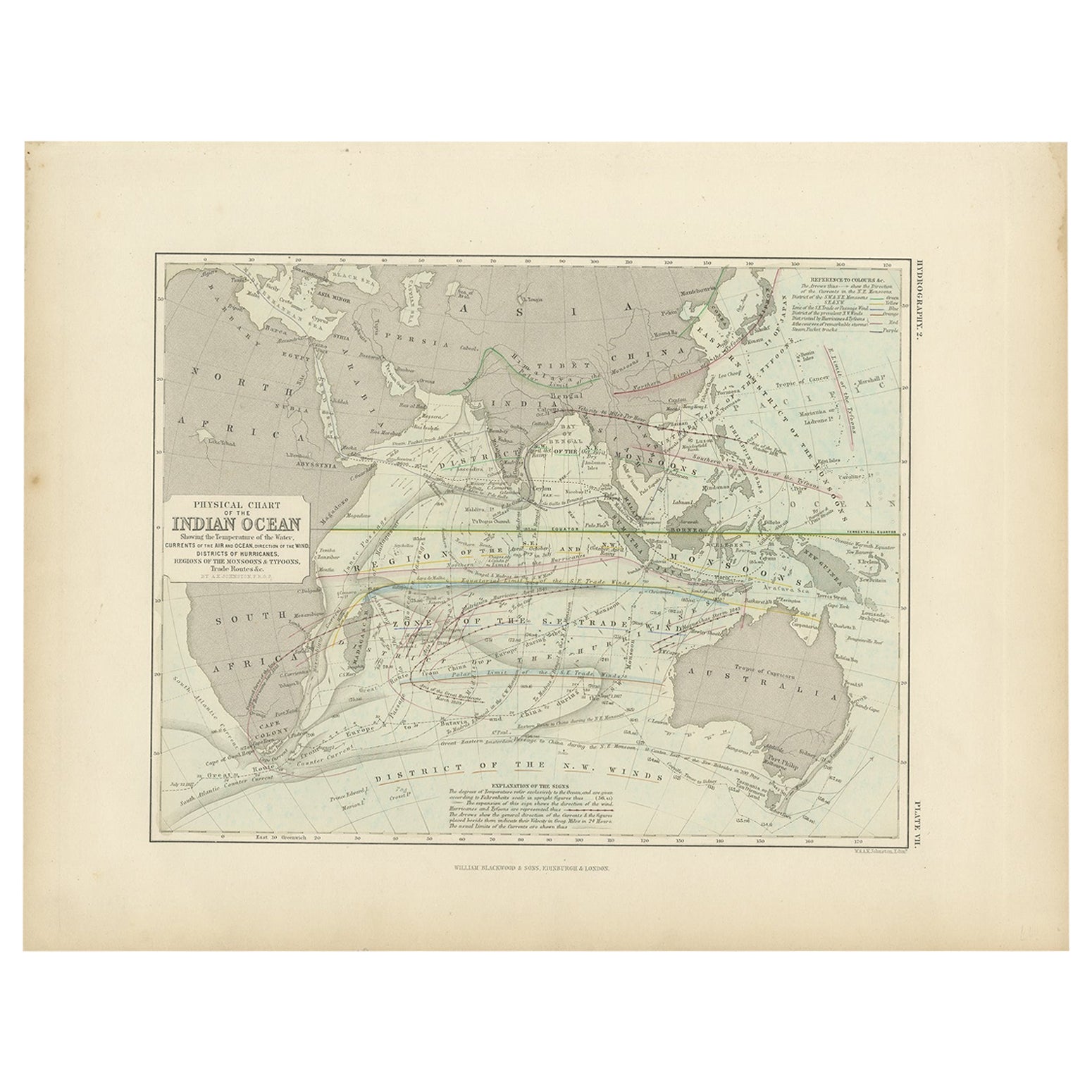
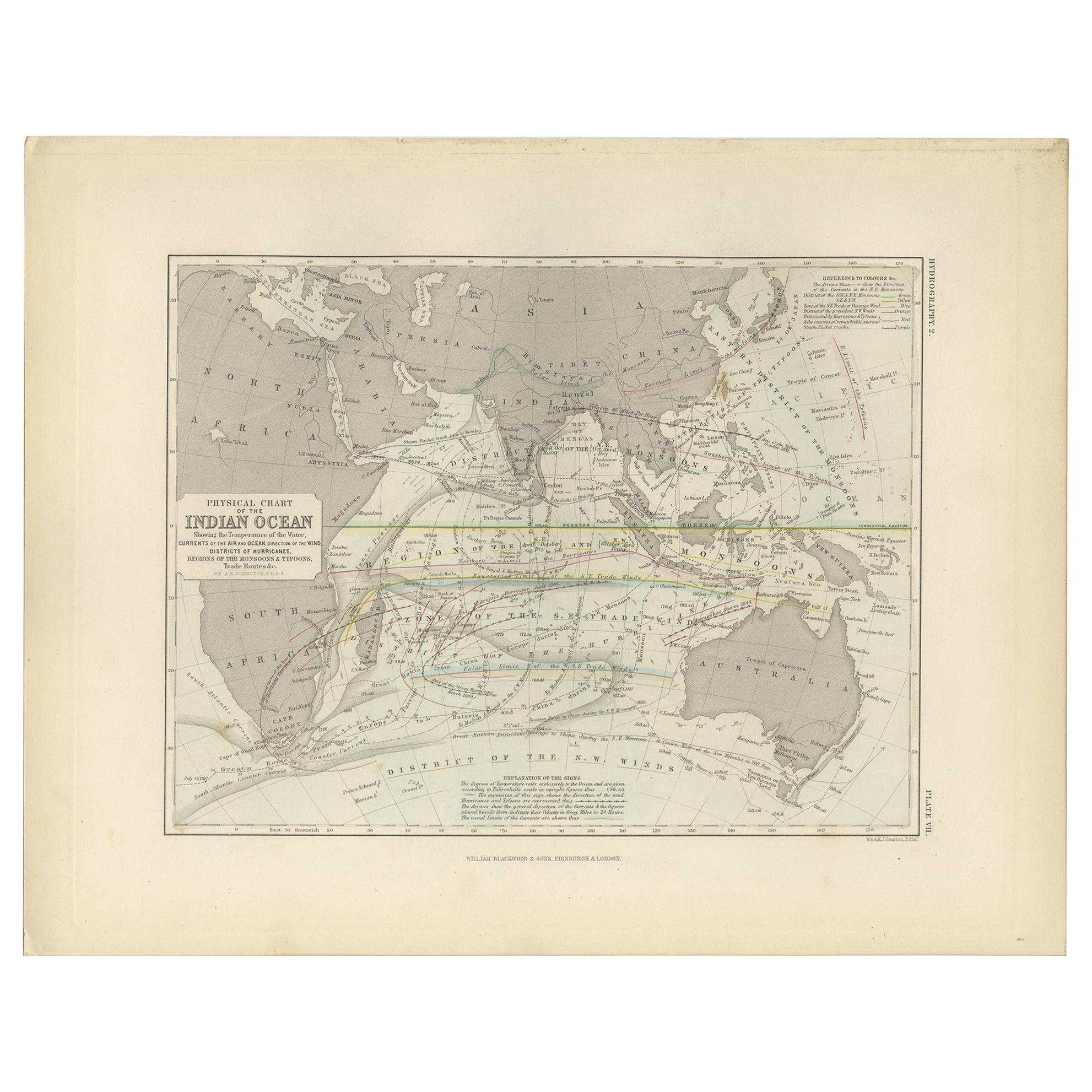
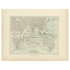
 - Antique Physical Chart of the Indian Ocean by Johnston, 1850Located in Langweer, NLAntique map titled 'Physical Chart of the Indian Ocean'. This map shows the temperature of the water, currents of the air and ocean, direction of the wind, districts of hurricanes, t...Category
Antique 19th Century Maps
MaterialsPaper


Recently Viewed
View AllMore Ways To Browse
Vintage Map Framed
Atlas China
Antique Maps Wales
Antique Furniture South East London
Antique Map Of Wales
Antique Maps Of Wales
Antique Island Caribbean
Antique Map Wales
Teak Sphere
Atlas Stand
Map Of Virginia
Antique Battle Maps
Us Map Antique
Reclaimed Lumber
Antique Us Maps
Antique Us Map
17th Century Italian Map
17th Century Italy Map