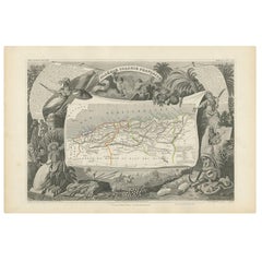
Algeria Map
to
4
23
10
7
6
5
4
4
4
3
3
2
2
2
1
1
1
1
1
1
1
2
1
1
Sort By
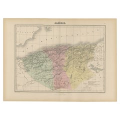
Antique Map of Algeria, 1880
Located in Langweer, NL
Antique map titled 'Algérie. Old map of Algeria. This map originates from 'Géographie Universelle
Category
Antique 19th Century Maps
Materials
Paper
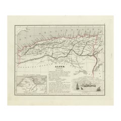
Antique Map of the Region of Algiers, Algeria
Located in Langweer, NL
Antique map titled 'Alger'. This map shows the region of Algiers, Algeria. With a small inset map
Category
Antique Mid-19th Century Maps
Materials
Paper
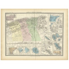
Antique Map of Algeria and the French Colonies, 1875
Located in Langweer, NL
Antique map titled 'Algérie et Colonies Francaises'. Large map of Algeria and the French Colonies
Category
Antique Late 19th Century Maps
Materials
Paper
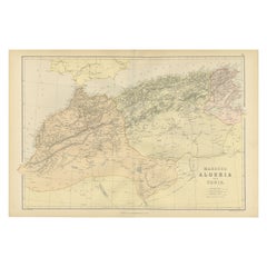
Antique Decorative Coloured Map Marocco, Algeria and Tunis, 1882
Located in Langweer, NL
regions as understood in the late 19th century.
**Map of Morocco, Algeria, and Tunis:**
This map details
Category
Antique 1880s Maps
Materials
Paper
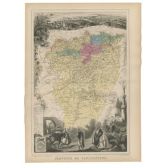
Antique Map of the Province of Constantine, Algeria by Migeon, 1880
Located in Langweer, NL
Antique map titled 'Province de Constantine'. Old map of the province of Constantine, Algeria. The
Category
Antique 19th Century Maps
Materials
Paper
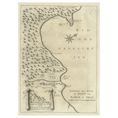
Old Dutch Map of the City of Oran 'Warran', Algeria, 1773
Located in Langweer, NL
Antique print titled 'Ligging der Stad en Haven van Warran of Oran'.
Old map of the city of
Category
Antique 1770s Maps
Materials
Paper
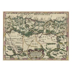
Copper-Engraved Map Showing the Algerian Coast of North Africa, Published 1683
Located in Langweer, NL
Antique map titled 'Partie de Barbarie, ou est le Royaume d'Alger (..)'.
Copper-engraved map
Category
Antique 1680s Maps
Materials
Paper
H 8.51 in W 11.78 in D 0 in
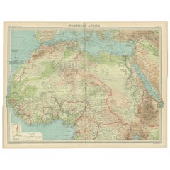
Old Map of North Africa Depicting Libya, Morocco, Algeria, Tunis Etc, 1922
Located in Langweer, NL
, Morocco, Algeria, Tunis and surroundings. This map originates from 'The Times' atlas.
Artists and
Category
Vintage 1920s Maps
Materials
Paper
H 17.92 in W 23.23 in D 0 in
Antique Map of the French Colony of Algeria by V. Levasseur, 1854
By Victor Levasseur
Located in Langweer, NL
Antique map titled 'Algérie, Colonie Francaise'. Shows the region divided into the administrative
Category
Antique Mid-19th Century Maps
Materials
Paper
Old Map of the Western Region of the Kingdom of Algiers, Algeria, 1773
Located in Langweer, NL
Antique map titled 'Kaart van het Westelyk Gedeelte van het Ryk van Algiers'.
Old map of the
Category
Antique 1770s Maps
Materials
Paper
Old Map of the Eastern Region of the Kingdom of Algiers, Algeria, 1773
Located in Langweer, NL
Antique map titled 'Kaart van het Oostelyke Deel van het Ryk van Algiers'.
Old map of the
Category
Antique 1770s Maps
Materials
Paper
Antique Map of Northwest Africa by Bartholomew, 1922
Located in Langweer, NL
, Algeria, Tunis and surroundings. This map originates from 'The Times' atlas. Artists and Engravers: John
Category
20th Century Maps
Materials
Paper
Antique Map of North Africa and South Africa by Black, 1854
Located in Langweer, NL
Morocco, Algeria and South Africa. This map orginates from 'General Atlas Of The World: Containing Upwards
Category
Antique 19th Century Maps
Materials
Paper
18th-Century Biblical Map of the Colonies of Ham: Africa, Middle East and Beyond
Located in Langweer, NL
, including Libya, Tunisia, and parts of Algeria.
- Egypt and Ethiopia: The map highlights Egypt and
Category
Antique 1790s Maps
Materials
Paper
H 9.06 in W 11.03 in D 0 in
Circa 1950 poster Air Algérie regular line network
Located in PARIS, FR
Algeria held for French and international travelers during this period. The map effectively positions
Category
1950s Prints and Multiples
Materials
Linen, Paper, Lithograph
Ptolemaic map of NW Africa, Morocco and Algeria by Mercator - Engraving - 17th c
By Gerard Mercator
Located in Zeeland, Noord-Brabant
map covering ancient northwestern Africa, including present day Morocco and Algeria. The interior
Category
1690s Old Masters More Prints
Materials
Engraving
Antique Map of the Province of Alger Algeria by Migeon, 1880
Located in Langweer, NL
Antique map titled 'Province de Constantine'. Old map of the province of Alger, Algeria. This map
Category
Antique 19th Century Maps
Materials
Paper
Original Vintage Paris Orleans Railway Poster France Algeria Morocco Travel Map
Located in London, GB
Relations France Algerie Maroc / Good Relations France Algeria Morocco - featuring a dynamic Art Deco design
Category
Vintage 1930s French Art Deco Posters
Materials
Paper
H 38.98 in W 24.22 in D 0.04 in
Original Vintage PLM Railway Poster Paris Algeria Europe North Africa Route Map
By Robert Falcucci
Located in London, GB
80 trains par jour Chemins de Fer P.L.M. Cie Gle Transatlantique - Paris Algeria fast connection via
Category
Vintage 1930s French Art Deco Posters
Materials
Paper
H 38.98 in W 24.81 in D 0.04 in
Antique Map of the Province of Oran Algeria by Migeon, 1880
Located in Langweer, NL
Antique map titled 'Province d'Oran'. Old map of the province of Oran, Algeria. The Department of
Category
Antique 19th Century Maps
Materials
Paper
Antique Map of Morocco, Algeria and Tunisia by W. G. Blackie, 1859
Located in Langweer, NL
Antique map titled 'Morocco, Algeria and Tunis'. Original antique map of Morocco, Algeria and
Category
Antique Mid-19th Century Maps
Materials
Paper
Original Vintage Paris Orleans Railway Poster France Algeria Morocco Travel Map
Located in London, GB
Relations France Algerie Maroc / Good Relations France Algeria Morocco - featuring a dynamic Art Deco design
Category
1930s Art Deco More Prints
Materials
Paper
Original Vintage PLM Railway Poster Paris Algeria Europe North Africa Route Map
By Robert Falcucci
Located in London, GB
80 trains par jour Chemins de Fer P.L.M. Cie Gle Transatlantique - Paris Algeria fast connection via
Category
1930s Art Deco More Prints
Materials
Paper
Get Updated with New Arrivals
Save "Algeria Map", and we’ll notify you when there are new listings in this category.
Algeria Map For Sale on 1stDibs
On 1stDibs, you can find the most appropriate algeria map for your needs in our varied inventory. There are many modern, Old Masters and Surrealist versions of these works for sale. Finding the perfect algeria map may mean sifting through those created during different time periods — you can find an early version that dates to the 18th Century and a newer variation that were made as recently as the 20th Century. Adding a algeria map to a room that is mostly decorated in warm neutral tones can yield a welcome change — find a piece on 1stDibs that incorporates elements of gray, blue, beige, purple and more. A algeria map from (after) Henri Matisse, Henri Matisse, Robert Falcucci, Jean Pierre Serrier and James Bennett — each of whom created distinctive versions of this kind of work — is worth considering. Artworks like these of any era or style can make for thoughtful decor in any space, but a selection from our variety of those made in lithograph, linocut and engraving can add an especially memorable touch.
How Much is a Algeria Map?
A algeria map can differ in price owing to various characteristics — the average selling price for items in our inventory is $1,421, while the lowest priced sells for $104 and the highest can go for as much as $44,243.
