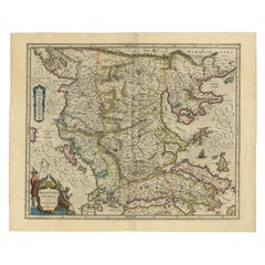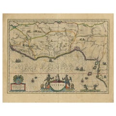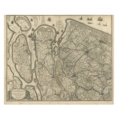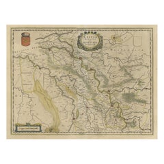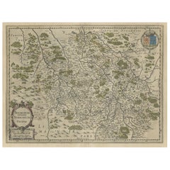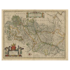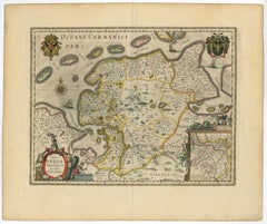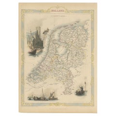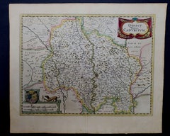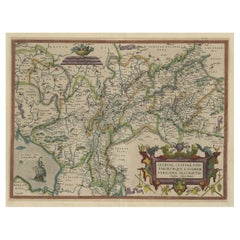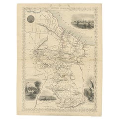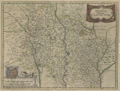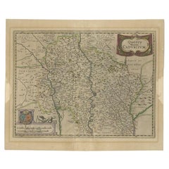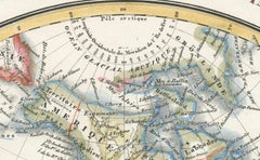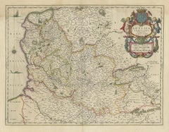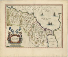
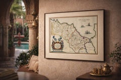
Antique Map Morocco Fez & Marrakesh, Blaeu Map, Hand-Colored c.1642
$5,326
H 19.69 in W 23.23 in D 0.01 in
Antique Map Morocco Fez & Marrakesh, Blaeu Map, Hand-Colored c.1642
Located in Langweer, NL
A slightly darker wall tone (taupe, olive, or deep neutral) will elevate the warm tones and create a refined, gallery-style presentation. Keywords: Morocco map, Fez, Fes, Marrakesh,...
Category
Mid-17th Century Dutch Antique World Maps
Materials
Paper