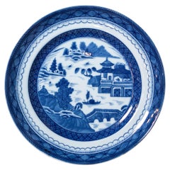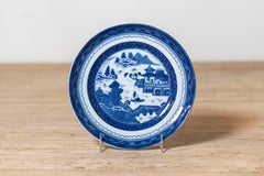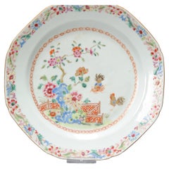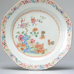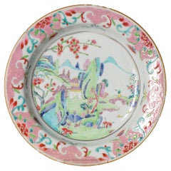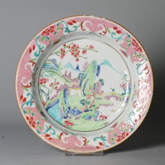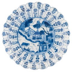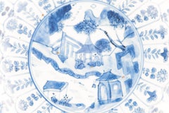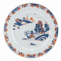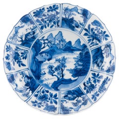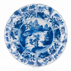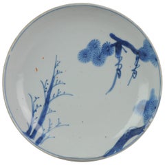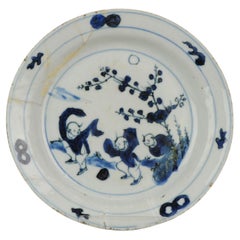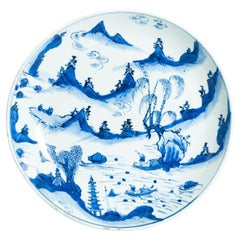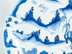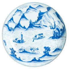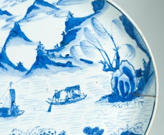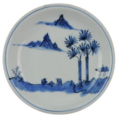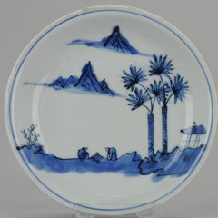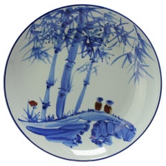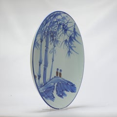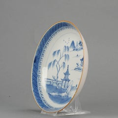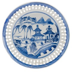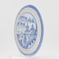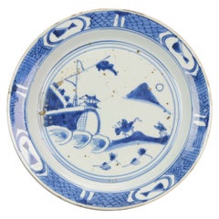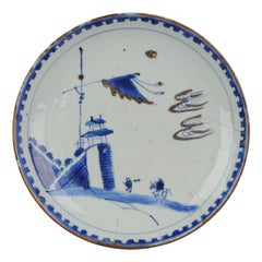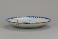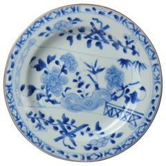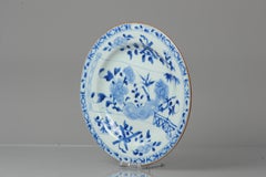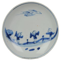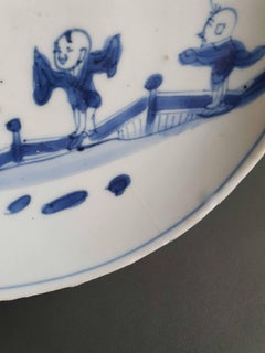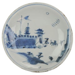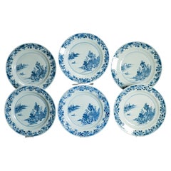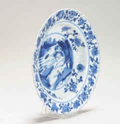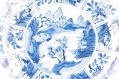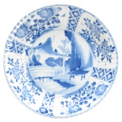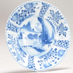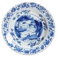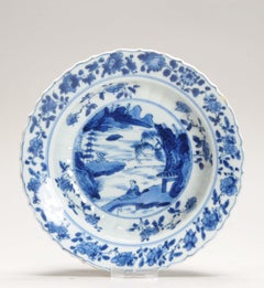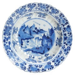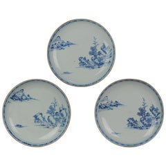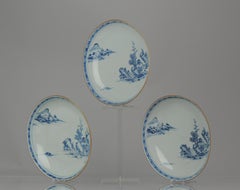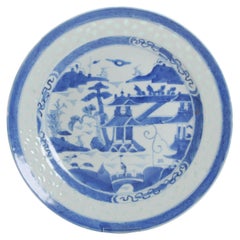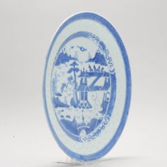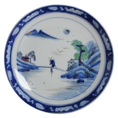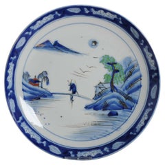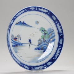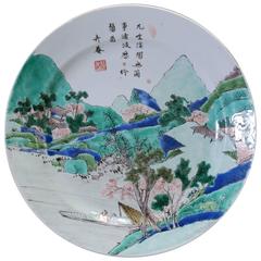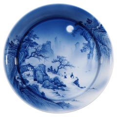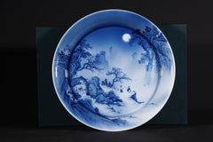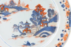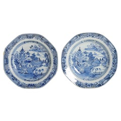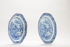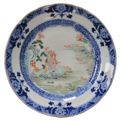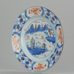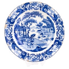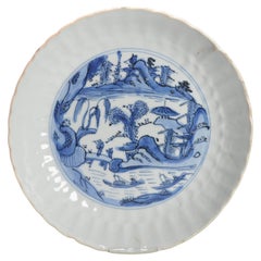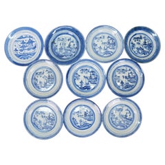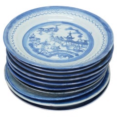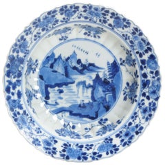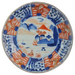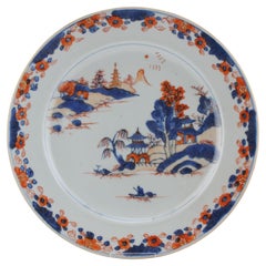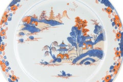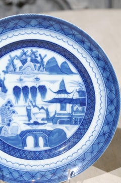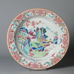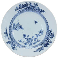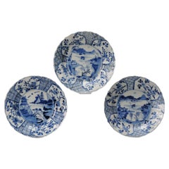
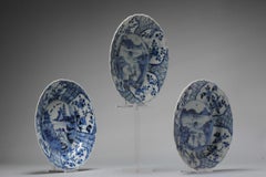
Set of 3 Kangxi Period Chinese Porcelain Landscape Blue White Plates
Located in Amsterdam, Noord Holland
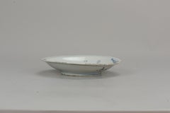
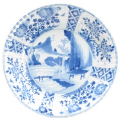
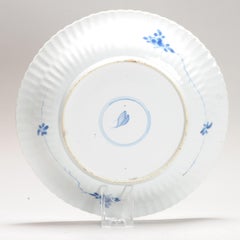
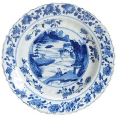
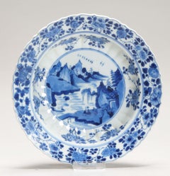
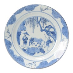
An absolute top quality large Kangxi cobalt blue dishes, all with similar landscape scenes and moulded in a nice shape. These dishes tend toward the earlier parts of the Kangxi reign...
Category
Antique 17th Century Chinese Dinner Plates
Materials
Porcelain