Items Similar to The Overland Guide From the Missouri River to the Pacific Ocean, Revised, 1883
Want more images or videos?
Request additional images or videos from the seller
1 of 15
The Overland Guide From the Missouri River to the Pacific Ocean, Revised, 1883
$1,500
£1,139.37
€1,312.94
CA$2,112.37
A$2,341.88
CHF 1,230.75
MX$28,660.72
NOK 15,370.78
SEK 14,427.02
DKK 9,800.31
About the Item
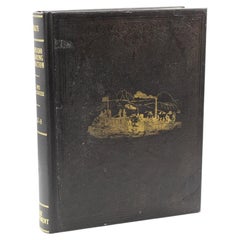
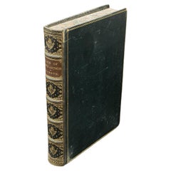
Gleed, Charles S, ed. Rand, McNally & Co.'s Overland Guide From the Missouri River to the Pacific Ocean Via Kansas, Colorado, New Mexico, Arizona and California. Chicago: Rand, McNally & Co., 1883. Revised Edition. Rebound in ¼ red leather and cloth boards, with original cloth gilt-stamped pictorial front board saved, new marbled endpapers, and a custom archival slipcase to match. Illustrated throughout with engravings.
This is a “Revised Edition” of the Rand, McNally & Co.'s Overland Guide From the Missouri River to the Pacific Ocean, via Kansas, Colorado, New Mexico, Arizona and California. The book was edited by Charles S. Gleed and published by Rand, McNally & Co., in Chicago in 1883. It has been artfully rebound in ¼ red leather and cloth boards, with the original gilt-stamped pictorial front cloth board saved, new marbled endpapers, and a matching archival cloth slipcase.
As explained in the beginning of the guidebook, the purpose of the book is “to give the reader a satisfactory general idea of the States and Territories of Kansas, Colorado, New Mexico, Arizona, and California, through which the traveler passes in going from the Missouri river to the Pacific ocean, or vice versa, entering or leaving California at its southern extremity.” Following the southern route of railways, editor Charles Gleed lays out in extensive detail information on each state, including population numbers, key industries, important towns and railway stations, farming and agriculture, mining opportunities, and weather patterns.
Throughout the guidebook are countless engravings, both full page and in-text, from well known engravers of the time. Meant to further entice readers to take this overland journey, the illustrations offer views of key tourist spots, townviews, and scenic destinations, throughout the featured states of Kansas, Colorado, New Mexico, Arizona, and California. The guidebook is also supplemented by pages of printed advertisements in the beginning of the book, showcasing local businesses, services, and wares.
Charles Sumner Gleed (1856–1920) was a Kansas businessman involved in a number of ventures, including railroads, newspapers, law, mining, banking, and communications. He was a member of the first class at the law school of State University of Kansas, a subsequent teacher at the University, and founder of the school’s newspaper. He later worked as a reporter and editor, contributing to the Lawrence Journal, Lawrence Tribune, Kansas Spirit, Kansas Collegiate, the Denver Tribune, the Kansas City Journal, the Chicago Tribune, and the New York Herald. He worked in business development and marketing of three transcontinental railroad companies, the Kansas Pacific, the Union Pacific, and the Atchison, Topeka & Santa Fe.
In 1884, Charles and his brother started a successful law practice together in Topeka, Kansas. Their clients included many of the largest railroads, telephone companies, banks, and other business corporations, as well as the State of Kansas in numerous contentions. In 1896, he co-bought the Kansas City Journal and became the company's president. He was director and president of the Kansas Historical Society and was a member of the commission that established the Kansas State Printing and Publishing House. Gleed wrote and edited numerous books and pamphlets on Kansas history and the history of the Santa Fe Railway System and frequently lectured on the topics.
CONDITION:
Very good condition. Rebound in ¼ red leather and cloth boards, with original cloth gilt-stamped pictorial front board saved and pasted to front, new marbled endpapers, and a custom red archival slipcase to match. Wear and fading of gilt to original front cloth. The interior pages are very clean and healthy. Illustrated throughout with black and white engravings, full page and in-text. 16 pp of printed advertisement pages in the beginning. Issued without a map.
Book Dimensions: 8" H x 5 11/16" W x 1 3/16" D. Slipcase Dimensions: 8 3/8" H x 6" W x 1 5/8" D.
Accompanied by our company's letter of authenticity.
- Dimensions:Height: 8.38 in (21.29 cm)Width: 6 in (15.24 cm)Depth: 1.63 in (4.15 cm)
- Style:Late Victorian (Of the Period)
- Materials and Techniques:
- Place of Origin:
- Period:
- Date of Manufacture:1883
- Condition:Additions or alterations made to the original: Rebound in ¼ red leather and cloth boards, with original cloth gilt-stamped pictorial front board saved and pasted to front, new marbled endpapers, and a custom red archival slipcase to match. By Felton Bookbinding Ltd. in Ontario, Canada, in Novembe. Wear consistent with age and use. Minor fading.
- Seller Location:Colorado Springs, CO
- Reference Number:Seller: BK11061stDibs: LU909742435572
About the Seller
4.9
Vetted Professional Seller
Every seller passes strict standards for authenticity and reliability
Established in 2010
1stDibs seller since 2011
464 sales on 1stDibs
- ShippingRetrieving quote...Shipping from: Colorado Springs, CO
- Return Policy
Authenticity Guarantee
In the unlikely event there’s an issue with an item’s authenticity, contact us within 1 year for a full refund. DetailsMoney-Back Guarantee
If your item is not as described, is damaged in transit, or does not arrive, contact us within 7 days for a full refund. Details24-Hour Cancellation
You have a 24-hour grace period in which to reconsider your purchase, with no questions asked.Vetted Professional Sellers
Our world-class sellers must adhere to strict standards for service and quality, maintaining the integrity of our listings.Price-Match Guarantee
If you find that a seller listed the same item for a lower price elsewhere, we’ll match it.Trusted Global Delivery
Our best-in-class carrier network provides specialized shipping options worldwide, including custom delivery.More From This Seller
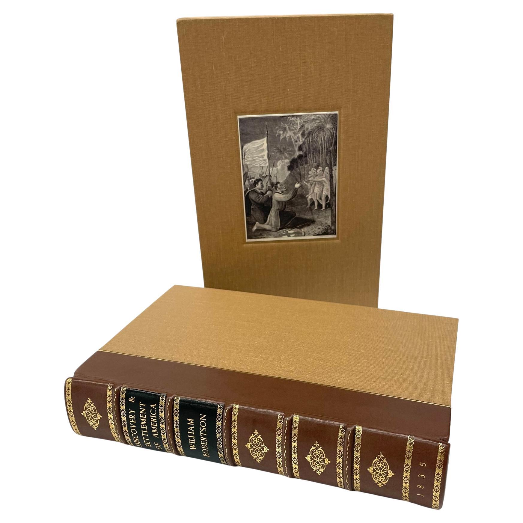
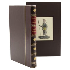
View AllThe History of the Discovery and Settlement of America by W. Robertson, 1835
By William Robertson
Located in Colorado Springs, CO
Robertson, William, Frost, John. The History of the Discovery and Settlement of America, With an Account of His Life and Writings, To which are added Questions for the Examination of...
Category
Antique 1830s American Early Victorian Books
Materials
Leather, Fabric, Paper

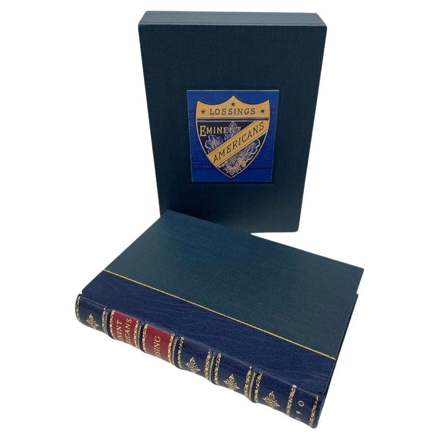
Eminent Americans by Benson J. Lossing, Illustrated, 1890
Located in Colorado Springs, CO
Lossing, Benson J. Eminent Americans: Comprising Brief Biographies of Leading Statesmen, Patriots, Orators and Others, Men and Women, Who Have Made American History. New York: John W...
Category
Antique 1890s American American Classical Books
Materials
Leather, Fabric, Paper

The Crack Shot; or, Young Rifleman's Complete Guide by Edward C. Barber, 1868
Located in Colorado Springs, CO
Barber, Edward C. The Crack Shot; or, Young Rifleman's Complete Guide: Being a Treatise on the Use of the Rifle, With Rudimentary and Finishing Lessons; Including a Full Description ...
Category
Antique 1860s American Late Victorian Books
Materials
Fabric, Paper
Christmastide: Its History, Festivities and Carols, by William Syndys, 1852
Located in Colorado Springs, CO
Syndys, William. Christmastide: Its History, Festivities and Carols. London: John Russell Smith, [nd, 1852]. Illustrated with hand-colored engravings. Oc...
Category
Antique 1850s English Books
Materials
Paper
Report upon the Colorado River of the West by Joseph Ives, First Edition, 1861
Located in Colorado Springs, CO
Ives, Joseph Christmas. Report upon the Colorado River of the West. Washington: Government Printing Office, 1861. First Edition, Senate Issue. Extensively illustrated with maps, engr...
Category
Antique 1860s American Books
Materials
Fabric, Paper
History of the Discovery of America by Henry Trumbull, 1832
Located in Colorado Springs, CO
Trumbull, Henry. History of the Discovery of America: Of the Landing of our Forefathers at Plymouth, and of Their Most Remarkable Engagements with the Indians in New-England, From Th...
Category
Antique 1830s American Early Victorian Books
Materials
Leather, Fabric, Paper
You May Also Like
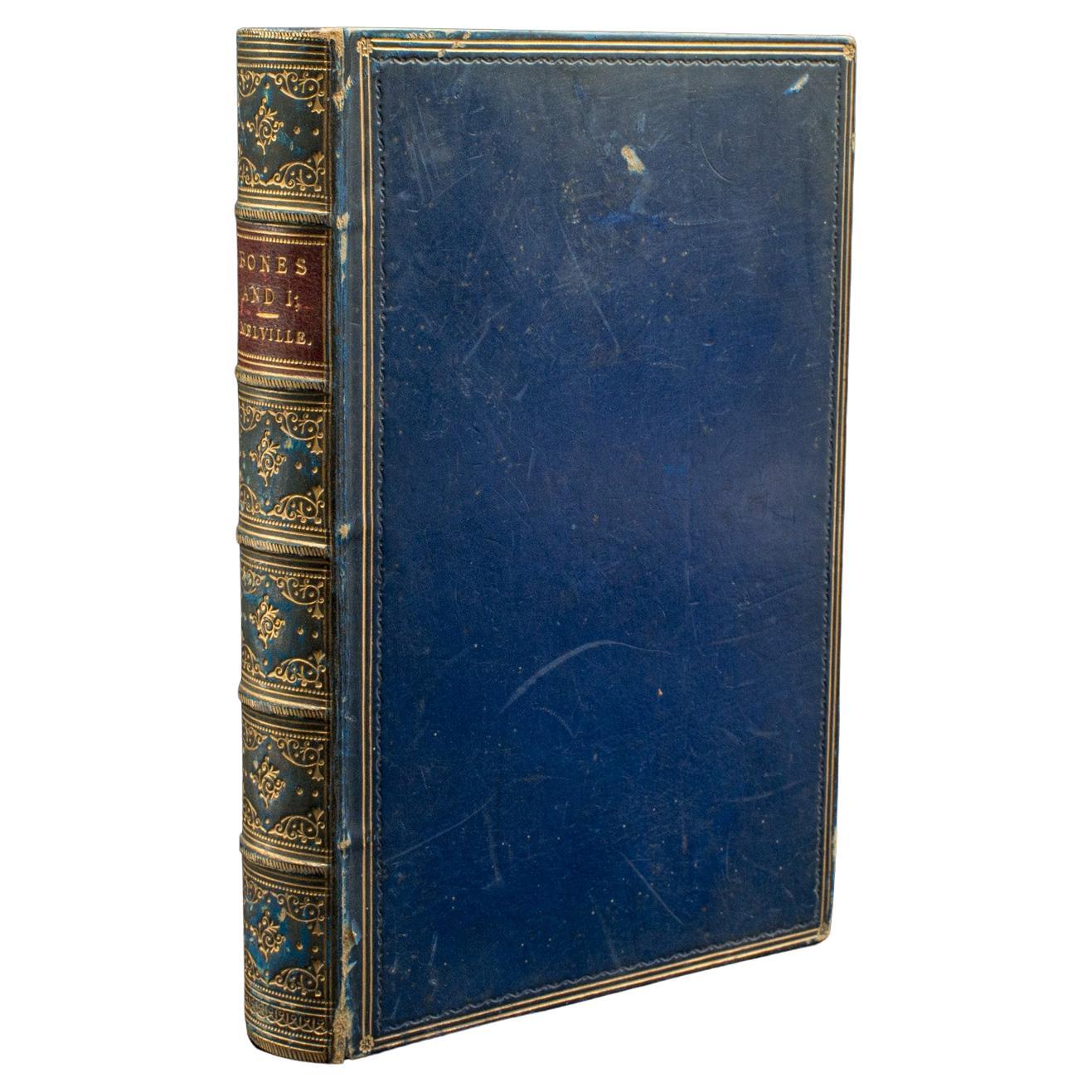
Antique Book, Bones and I, Whyte-Melville, English, Novel, Victorian, Circa 1880
Located in Hele, Devon, GB
This is an antique book, Bones & I by George Whyte-Melville. An English language, bound novel, dating to the late Victorian period, circa 1880.
First published in 1868, Bones & I is a humorous novel written about a man - Jack Raggles - who gains possession of a human skeleton. Written by George Whyte-Melville (1821 - 1878), the book is a comedic and macabre blend of satire and class division.
Nicely presented example of this unusual title
Displays a desirable aged patina, lightly time-worn but intact
Bound with cloth over board in navy blue with gold...
Category
Antique Late 19th Century British Late Victorian Books
Materials
Paper
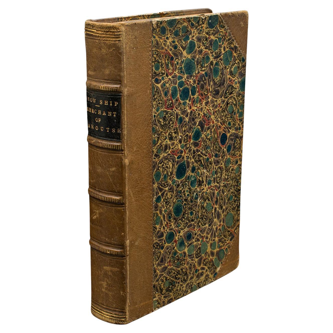
Antique Novel, The Snow Ship, Percy St John, English, Fiction, Victorian, C.1880
Located in Hele, Devon, GB
This is an antique novel The Snow Ship by Percy St. John. An English language fiction book with secondary title Merchant of Yakoutsk, dating to the Vict...
Category
Antique Late 19th Century British Victorian Books
Materials
Paper
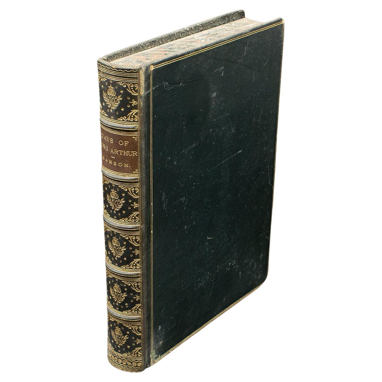
Antique Book, Days of King Arthur, Mythology, English, Fiction, Late Victorian
Located in Hele, Devon, GB
This is an antique mythology book, Days of King Arthur by Charles Henry Hanson. An English language, hard bound fictional work with illustrations by Gus...
Category
Antique Late 19th Century British Late Victorian Books
Materials
Paper
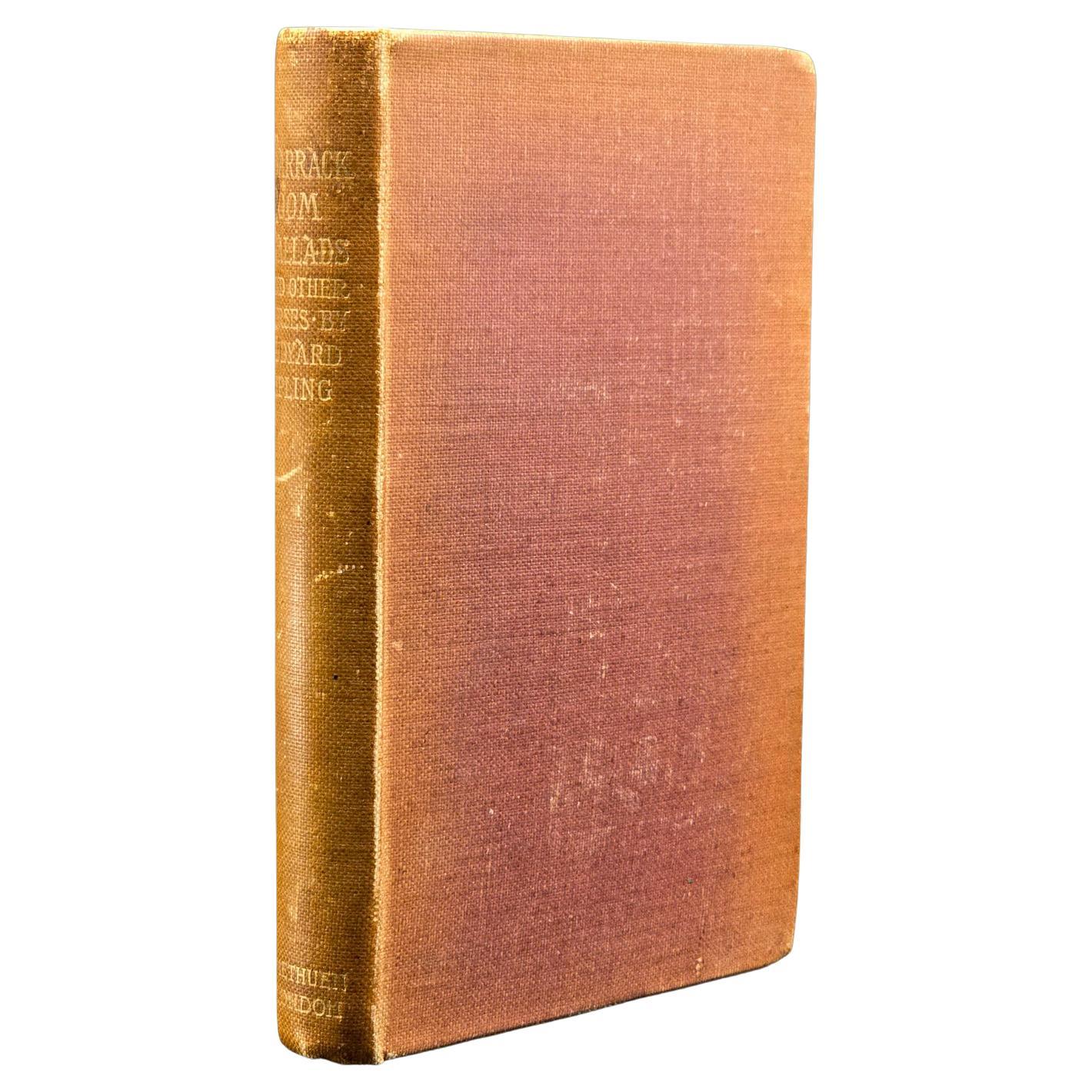
Antique Poetry Book, Barrack Room Ballads, Rudyard Kipling, Literary Classic
Located in Hele, Devon, GB
This is an antique copy of Barrack-Room Ballads by Rudyard Kipling, a highly regarded bound and illustrated song and poetry collection, dating to 1898. Retaining its intact, original...
Category
Antique 1890s British Late Victorian Books
Materials
Paper

1927 Dictionary of Modern English Usage H.W. Fowler Oxford Antique Leather Book
Located in Dayton, OH
A Dictionary of Modern English Usage - by H.W. Fowler - Published by G.P. Putnam's Sons, 1927 - Printed in England at the Oxford university Press by John Johnson - Soft cover, black ...
Category
Vintage 1920s Books
Materials
Leather, Paper
$348 Sale Price
25% Off
Antique The Fables Book, Historic Literature, English, Illustrated, Victorian
Located in Hele, Devon, GB
This is a superb antique edition of 'The Fables' by Jean de La Fontaine, translated into English verse by Walter Thornbury and illustrated throughout by Gustave Doré. A fine, intact ...
Category
Antique 1870s British Victorian Books
Materials
Paper
More Ways To Browse
The President Furniture
Antique Law Office Furniture
Furniture Kansas City
Antique Fabric Stamps
Antique Railroad Furniture
Antique Map New York
Union Furniture Co
Antique Mining
Railroad Collectibles
Antique Map Mexico
Antique Maps California
Antique Railroad Collectibles
Antique Railroad Maps
Antique Telephones
Antique Spirit Board
Map Railroad
Weather Station
Antique Maps Of New York City