Items Similar to 1718 Ides & Witsen Map "Route D'amsterdam a Moscow Et De La Ispahan Et Gamron
Want more images or videos?
Request additional images or videos from the seller
1 of 8
1718 Ides & Witsen Map "Route D'amsterdam a Moscow Et De La Ispahan Et Gamron
About the Item
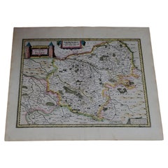
1718 Ides & Witsen map, entitled
"Route D'Amsterdam A Moscow Et De La Ispahan Et Gamron,"
Ric.b005
Subject: Eastern Europe and Central Asia
Period: 1718 (published)
Publication: Voyages Par Le Muscovie, En Perse, Et Aux Indes Orientales
Color: Black & White
Size:
14.8 x 11.1 inches
37.6 x 28.2 cm
De Bruyn, a Dutch artist, journeyed to Moscow, Persia and the East Indies in 1701 at the age of 50. He spent several years in the region recording his observations and preparing the illustrations for this important 18th century travelogue. This map depicts his route from Amsterdam to Archangel through the North Sea and then overland through Russia and Persia to the Straight of Hormuz. Finely engraved with a decorative title cartouche.
Good condition.
- Dimensions:Height: 11.11 in (28.2 cm)Width: 14.81 in (37.6 cm)Depth: 0.4 in (1 cm)
- Materials and Techniques:
- Place of Origin:
- Period:
- Date of Manufacture:1718
- Condition:
- Seller Location:Norton, MA
- Reference Number:1stDibs: LU5848230077102
About the Seller
5.0
Platinum Seller
These expertly vetted sellers are 1stDibs' most experienced sellers and are rated highest by our customers.
Established in 2000
1stDibs seller since 2021
85 sales on 1stDibs
Typical response time: <1 hour
- ShippingRetrieving quote...Ships From: Norton, MA
- Return PolicyA return for this item may be initiated within 3 days of delivery.
More From This SellerView All
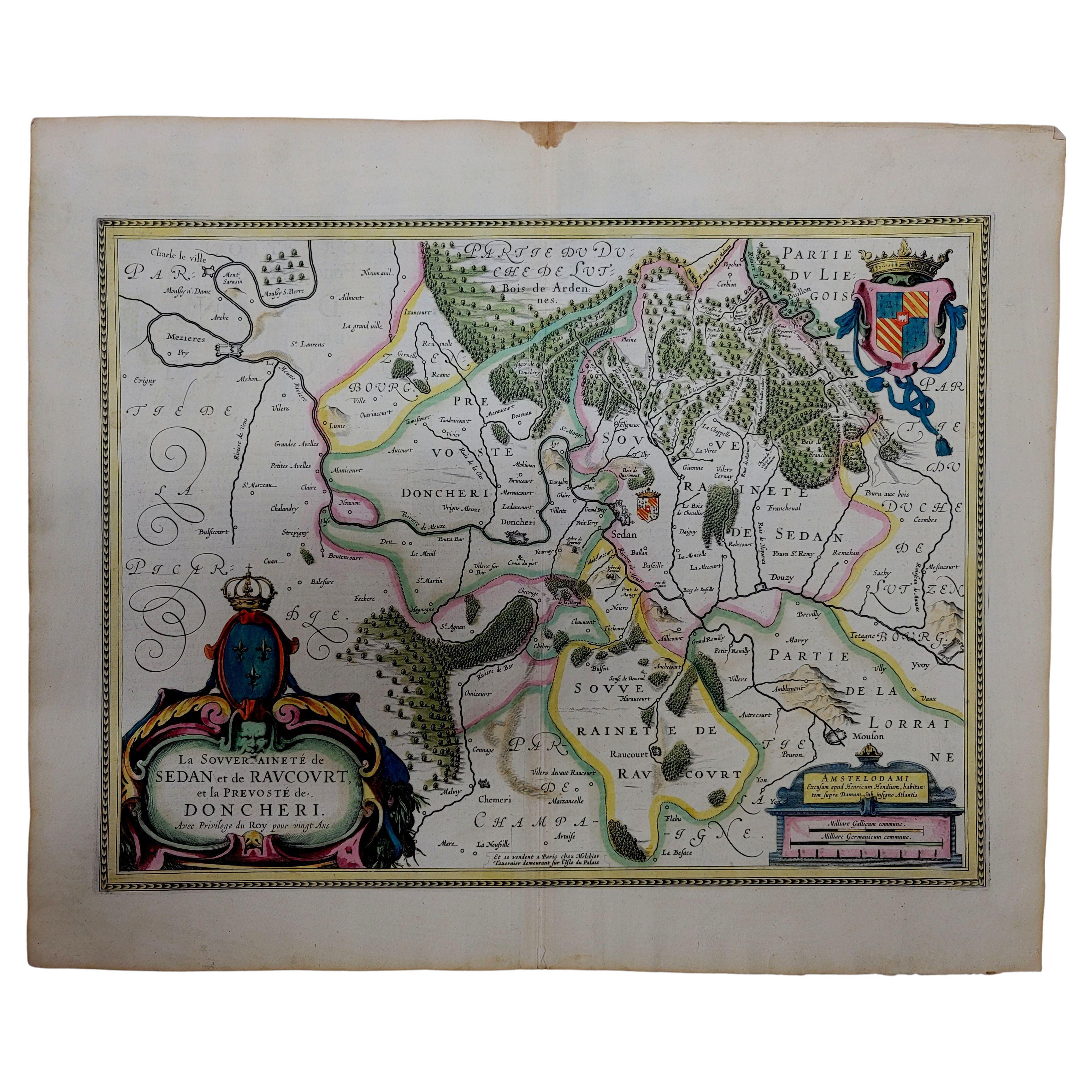
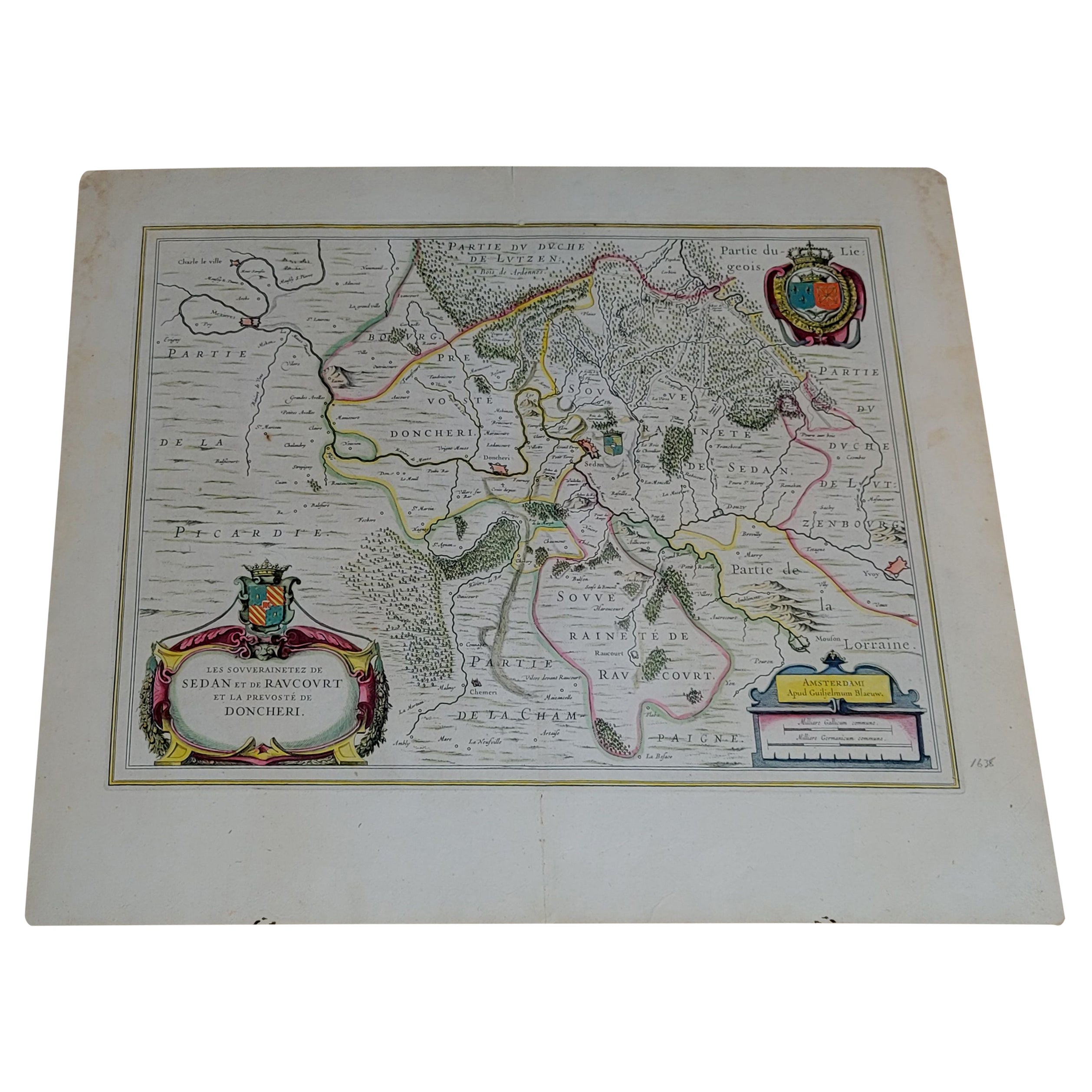
- 1633 Map "La Souverainete De Sedan Et De Raucourt, Et La Prevoste Ric0011Located in Norton, MA1653 map entitled "La Souverainete de Sedan et de Raucourt, et la Prevoste de Doncheri," Ric0011 Description: Lovely map centered on Sedan and Doncheri and the Meuze River fr...Category
Antique 17th Century Dutch Maps
MaterialsPaper
- 1656 "La Souverainete de Sedan et de Raucourt, et la Prevoste de Doncheri Ric004Located in Norton, MA1656 map entitled "La Souverainete de Sedan et de Raucourt, et la Prevoste de Doncheri," Hand Colored Ric0004. Description: Lovely map centered on Sedan and Doncheri an...Category
Antique 17th Century Dutch Maps
MaterialsPaper
- 1627 Hondius Map "La Principaute d'Orange et Comtat de Ve", Ric.0003Located in Norton, MA1627 Hondius map entitled "La Principaute d'Orange et Comtat de Venaissin," Original Hand-Colored Description: From Johannes Janssonius's Atlantis Maioris Appendix of 1630. ...Category
Antique 17th Century Unknown Maps
MaterialsPaper
- 1633 Map, Entitled "La Douche De Berry, " Ric.0005Located in Norton, MA1633 map, entitled "La douche de Berry," Hand Colored Ric.0005 Description: 1633 map, entitled "La douche de Berry," Dimension: Paper: 23.3" W x 20.3" H (59 cm W x 51.7 c...Category
Antique 17th Century Unknown Maps
MaterialsPaper
- 1640 Joan Bleau Map Entitled"Diocecese de rheims et le pais de rethel, " Eic.a011Located in Norton, MA1640 Joan Bleau map entitled "Diocecese de rheims et le pais de rethel," Ric.a011 OAN BLAEU Diocecese de Rheims, et le pais de Rethel. Handcolored engraving, c.1640. ...Category
Antique 17th Century Dutch Maps
MaterialsPaper
- 1633 map, entitled "La douche de Berry, " Original Hand Colored Ric.0005Located in Norton, MA1633 map, entitled "La douche de Berry," Hand Colored Ric.0005 Description: 1633 map, entitled "La douche de Berry," Dimension: Paper: 23.3" W x 20.3" H (59 cm W x 51.7 cm H) ; ...Category
Antique 17th Century Dutch Maps
MaterialsPaper


You May Also Like
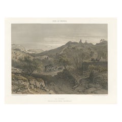
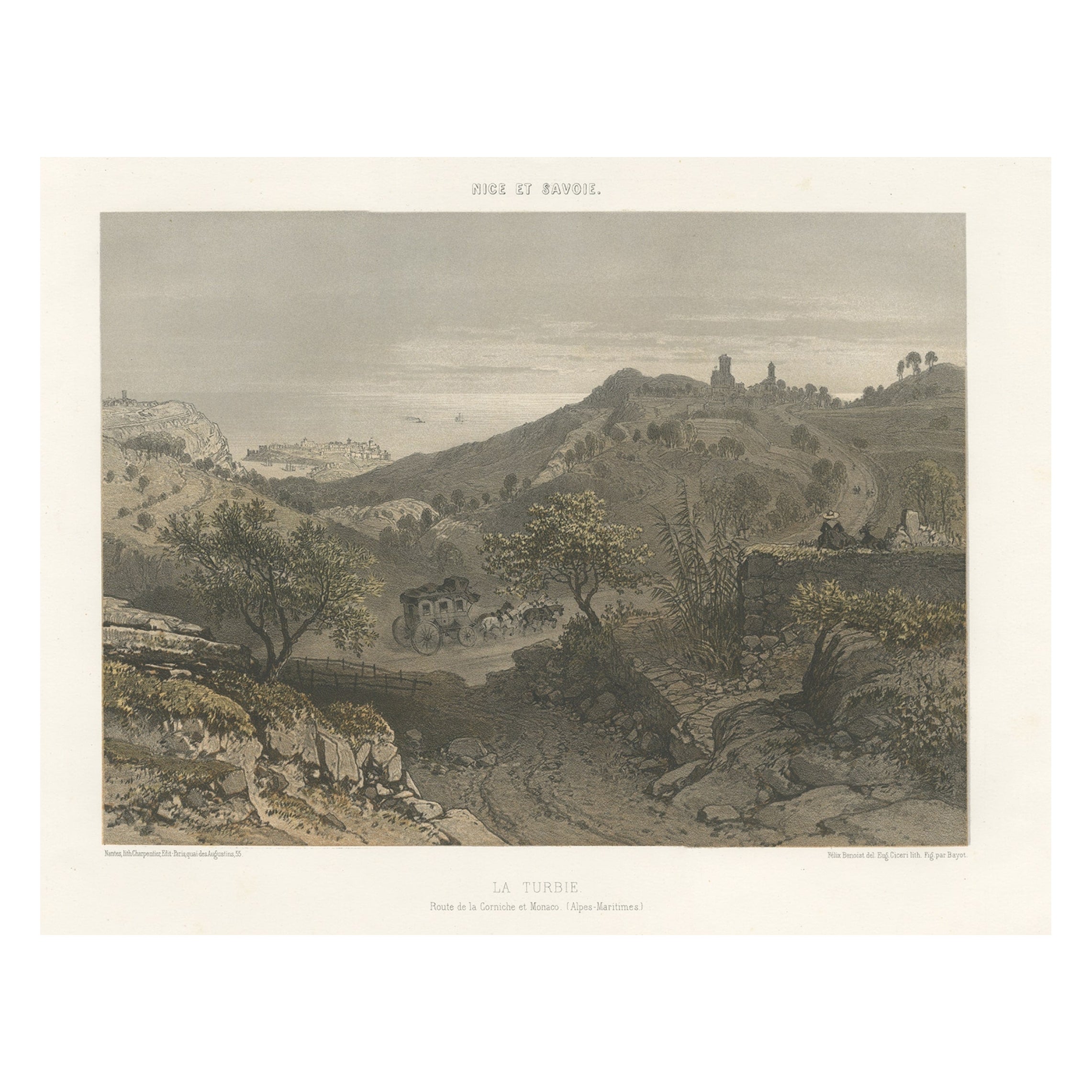
- Antique Print of La Turbie or Route de la Corniche et Monaco, c.1865Located in Langweer, NLAntique print titled 'La Turbie, Route de la Corniche et Monaco'. View of the commune of La Turbie, France. This print originates from 'Nice Et Savoie, Sites Pittoreques, Monuments, ...Category
Antique 19th Century Prints
MaterialsPaper
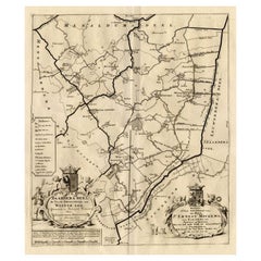
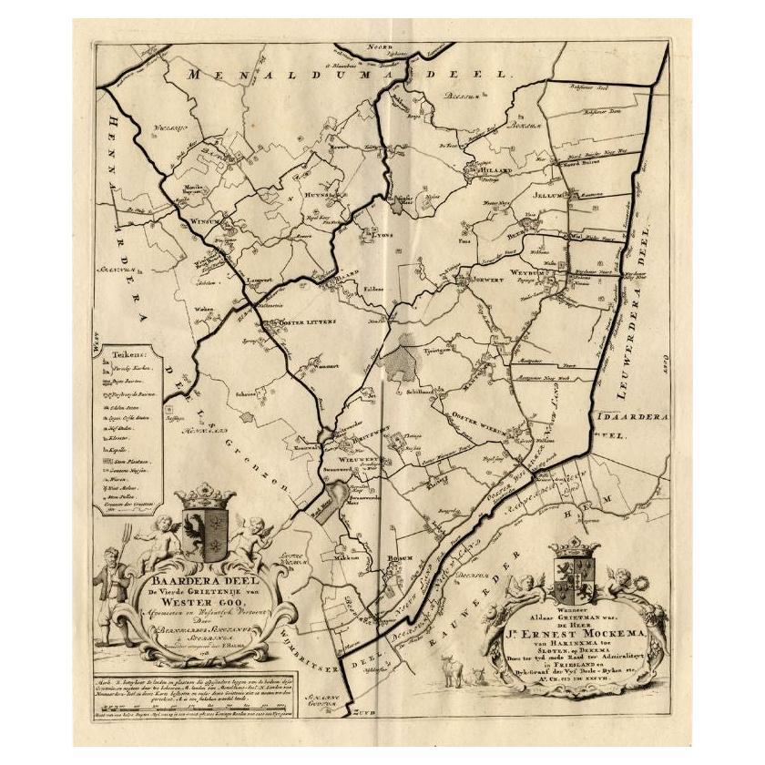
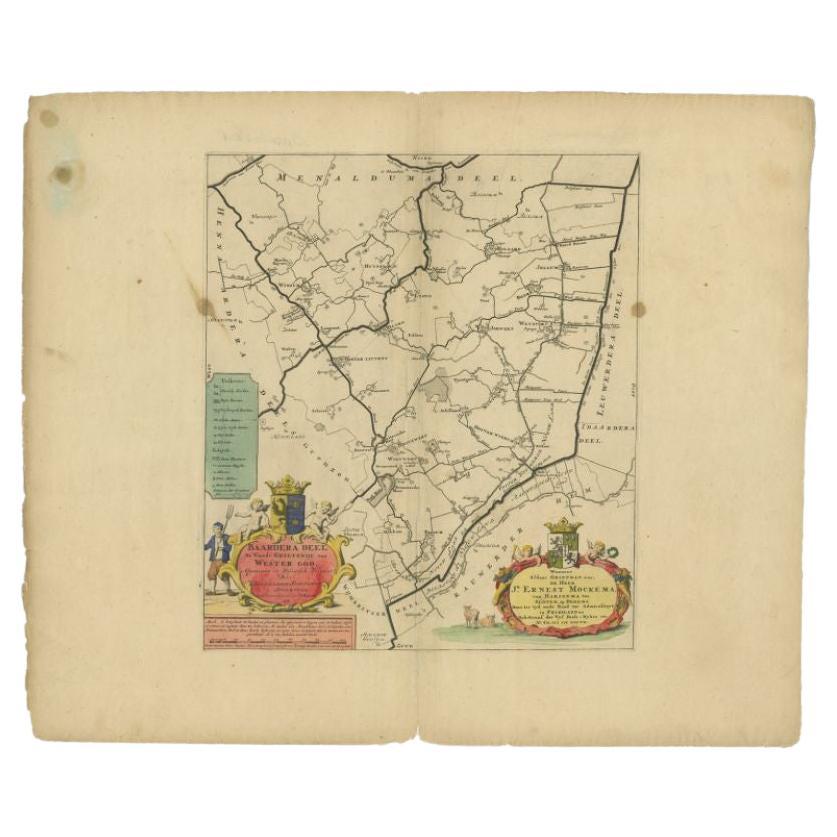
- Antique Map of the Baarderadeel Township, 1718Located in Langweer, NLAntique map Friesland titled 'Baardera Deel de Vierde Grietenije van Wester Goo (..)'. Old map of Friesland, the Netherlands. This map depicts the region of B...Category
Antique 18th Century Maps
MaterialsPaper
- Antique Map of the Baarderadeel Township, 1718Located in Langweer, NLAntique map Friesland titled 'Baardera Deel de Vierde Grietenije van Wester Goo (..)'. Old map of Friesland, the Netherlands. This map depicts the region of B...Category
Antique 18th Century Maps
MaterialsPaper
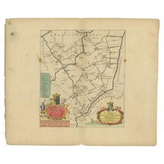
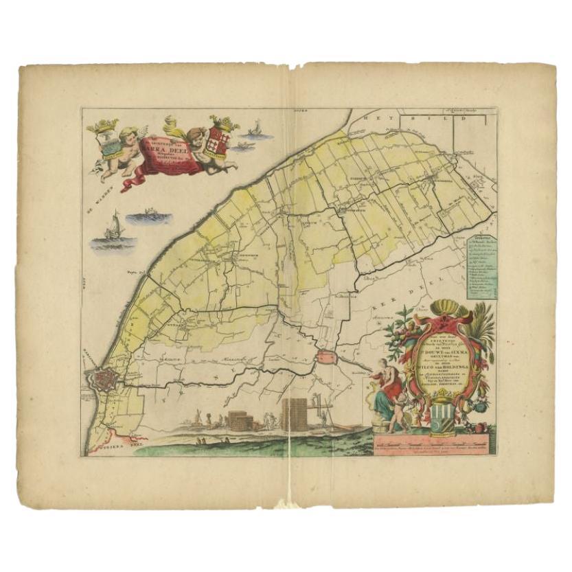
- Antique Map of the Barradeel Township, 1718Located in Langweer, NLAntique map Friesland titled 'De Grietenije van Barra Deel (..)'. Old map of Friesland, the Netherlands. This map depicts the region of Barradeel and includes cities and villages lik...Category
Antique 18th Century Maps
MaterialsPaper
- Map of the Holy Land "Carte de la Syrie et de l'Egypte" by Pierre M. LapieBy Pierre M. LapieLocated in Alamo, CAAn early 19th century map of ancient Syria and Egypt entitled "Carte de la Syrie et de l'Egypte anciennes/dressée par M. Lapie, Colonel d'Etat Major, et...Category
Antique Early 19th Century French Maps
MaterialsPaper
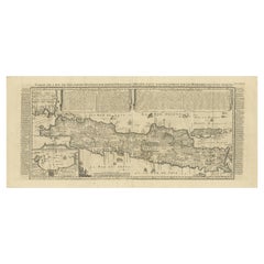
- Antique Decorative French Map of Java, Indonesia, 1718Located in Langweer, NLAntique map of Java titled 'Carte de l'Ile de Java: Partie Occidentale, Partie Orientale, Dressee tout Nouvellement (..)'. Decorative large format map...Category
Antique 18th Century Maps
MaterialsPaper