Items Similar to 1859 Vintage Maps of England and Wales: Blackie's Imperial Geographic Detail
Want more images or videos?
Request additional images or videos from the seller
1 of 6
1859 Vintage Maps of England and Wales: Blackie's Imperial Geographic Detail
About the Item
The "Antique Map of England & Wales" from 'The Imperial Atlas of Modern Geography', published by W. G. Blackie in 1859, is an original antique map that provides a detailed depiction of England and Wales during the mid-19th century. This map captures the geographical and political landscape of the region with remarkable detail and accuracy, characteristic of the Victorian era's cartographic style.
**Key Features of the Map:**
1. **Geographical Detail**: The map covers the entire regions of England and Wales, showcasing their diverse landscapes. It likely includes detailed renderings of key topographical features such as the Pennines, the Lake District, and the Welsh mountains, along with major rivers like the Thames, Severn, and Mersey.
2. **County Divisions**: Reflecting the administrative divisions of the time, the map likely delineates the various counties in England and Wales, offering insight into the regional organization and local governance structures of the mid-19th century.
3. **Urban Centers**: Major cities such as London, Manchester, Liverpool, Cardiff, and Birmingham are prominently marked. The map provides a view of the urban distribution and key population centers, highlighting the growing industrial and economic hubs of the era.
4. **Transportation Networks**: The map may detail the expansive railway network, which was rapidly developing during this period, along with major roads and canals, underscoring the industrial growth and improved connectivity across England and Wales.
5. **Coastal and Maritime Features**: Given the importance of maritime trade and naval power, the map likely details the coastal geography, including significant ports and harbors along the English Channel, the Irish Sea, and the North Sea.
6. **Artistic and Aesthetic Elements**: In line with the Victorian era's cartographic style, the map probably features ornate borders, an elegant title script, and possibly other artistic flourishes that enhance its visual appeal.
7. **Educational and Historical Value**: As a historical document, this map is invaluable for educational purposes, offering a glimpse into the geographical knowledge and perceptions of England and Wales in the mid-19th century.
This antique map of England and Wales is not only a collector’s item for enthusiasts of historical maps but also an important resource for historians, geographers, and anyone interested in the historical landscape and development of the British Isles. It captures a pivotal moment in the history of England and Wales, reflecting the era's cultural, industrial, and geographical transformations.
- Dimensions:Height: 14.57 in (37 cm)Width: 21.26 in (54 cm)Depth: 0.02 in (0.5 mm)
- Sold As:Set of 2
- Materials and Techniques:
- Period:
- Date of Manufacture:1859
- Condition:Wear consistent with age and use. Minor structural damages. General age-related toning. some foxing, Please study image carefully.
- Seller Location:Langweer, NL
- Reference Number:
About the Seller
5.0
Platinum Seller
These expertly vetted sellers are 1stDibs' most experienced sellers and are rated highest by our customers.
Established in 2009
1stDibs seller since 2017
1,916 sales on 1stDibs
Typical response time: <1 hour
- ShippingRetrieving quote...Ships From: Langweer, Netherlands
- Return PolicyA return for this item may be initiated within 14 days of delivery.
More From This SellerView All
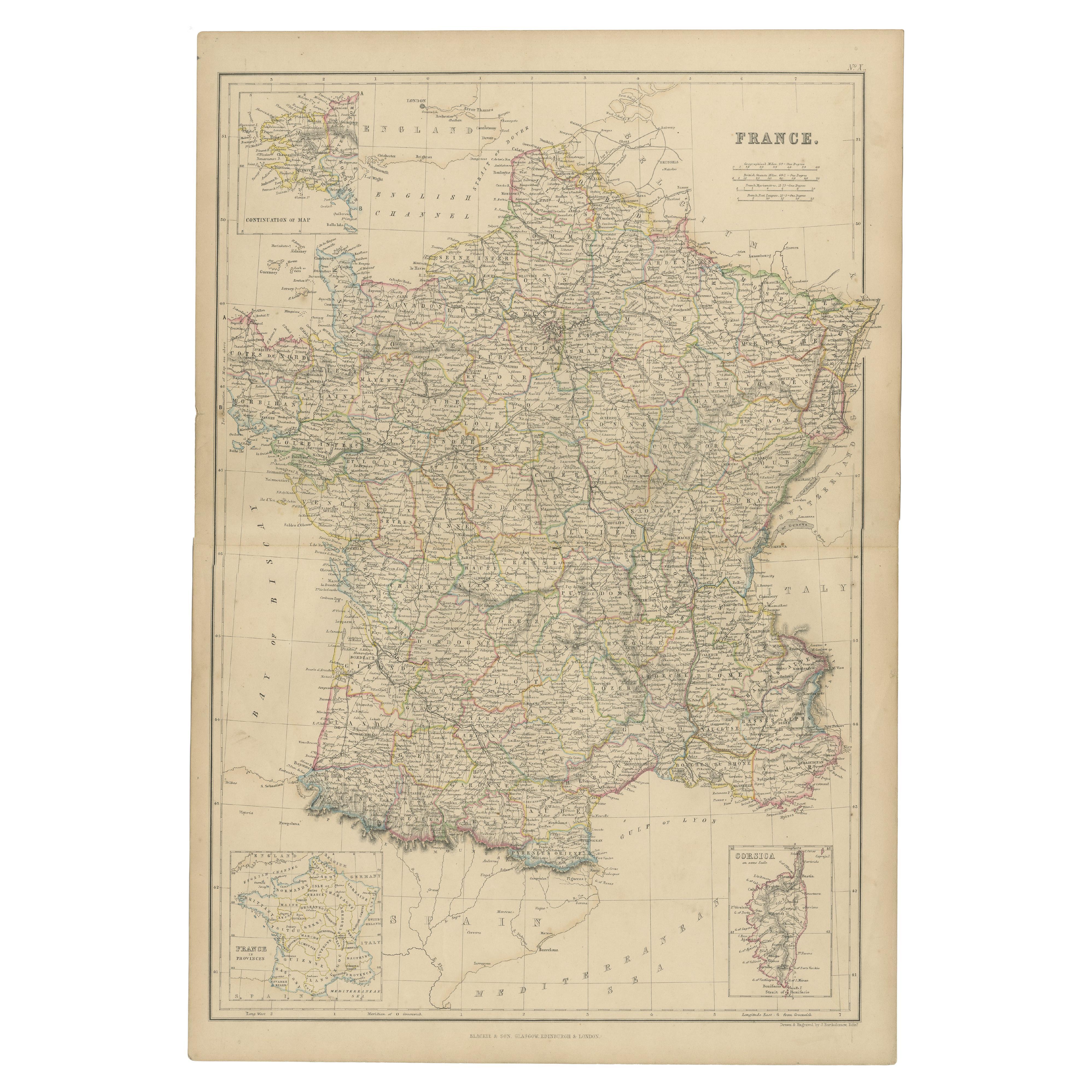
- 1859 Classic Map of France: Blackie's Imperial Geographic MasterpieceLocated in Langweer, NLThe "Antique Map of France" from 'The Imperial Atlas of Modern Geography', published in 1859 by W. G. Blackie, is a historically valuable cartographic work that offers a comprehensiv...Category
Antique Mid-19th Century Maps
MaterialsPaper
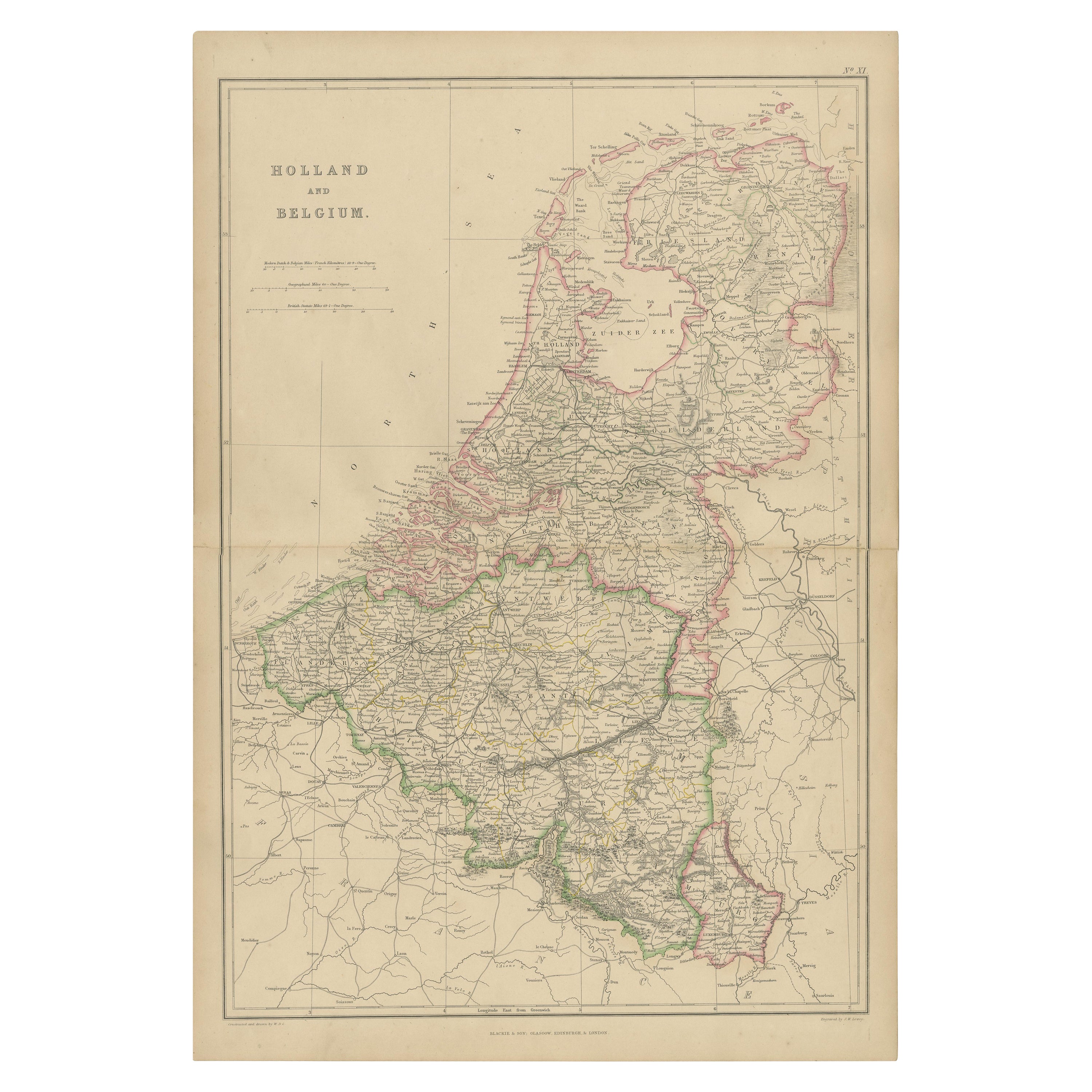
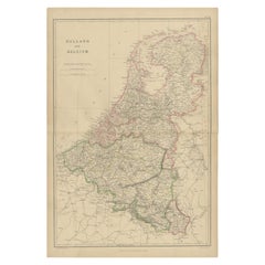
- 1859 Vintage Map of Holland and Belgium: Blackie's Imperial Geographic InsightLocated in Langweer, NLThe "Antique Map of Holland and Belgium" from 'The Imperial Atlas of Modern Geography', published by W. G. Blackie in 1859, is a significant hi...Category
Antique Mid-19th Century Maps
MaterialsPaper
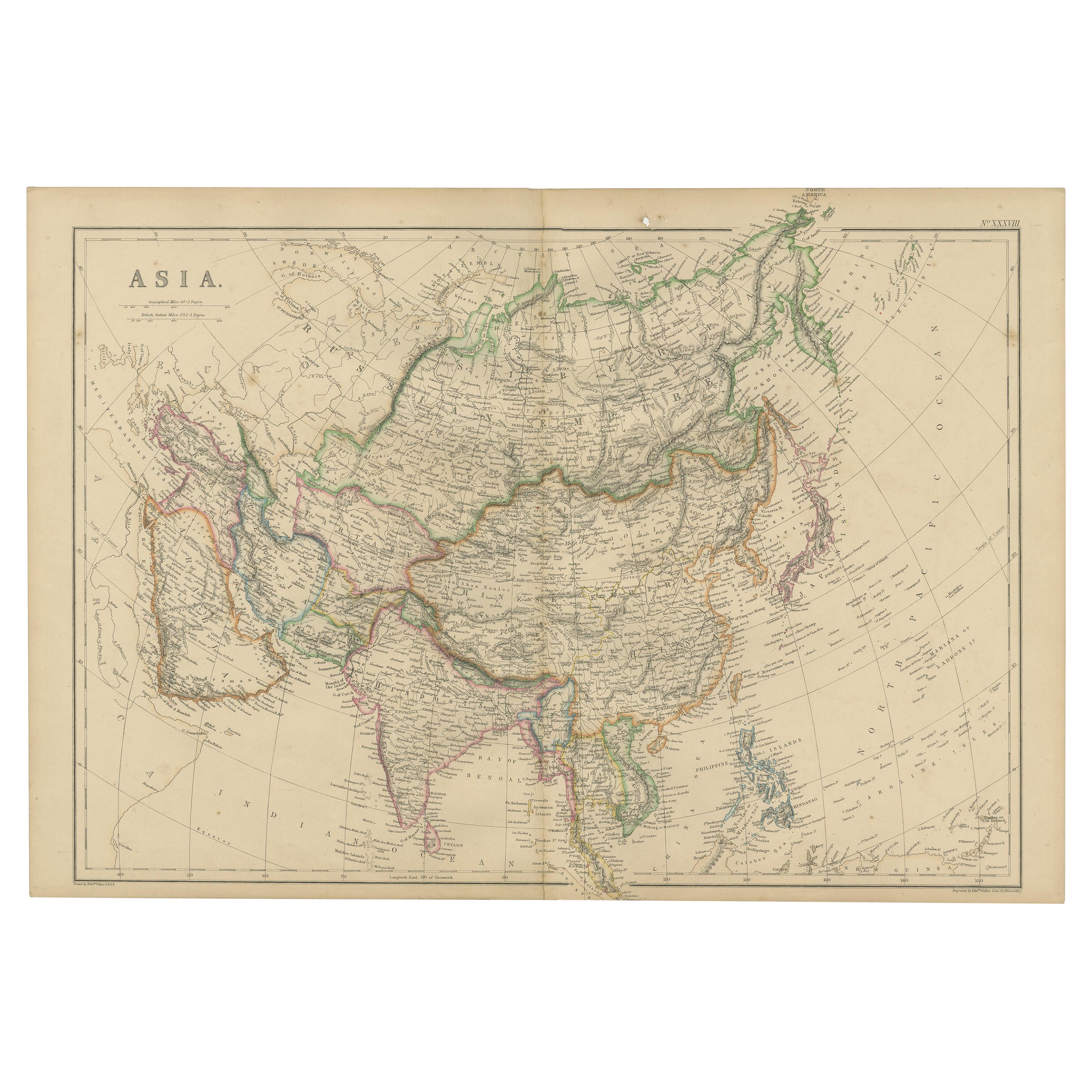
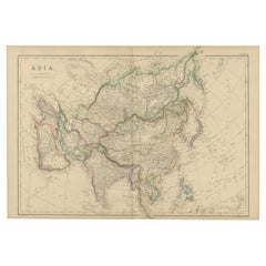
- Original 1859 Map of Asia from W.G. Blackie's Imperial Atlas of Modern GeographyLocated in Langweer, NLAntique map titled 'Asia'. Original antique map of Asia. This map originates from ‘The Imperial Atlas of Modern Geography’. Published by W. G. Blackie, 1859. The "Classic Cartograph...Category
Antique Mid-19th Century Maps
MaterialsPaper
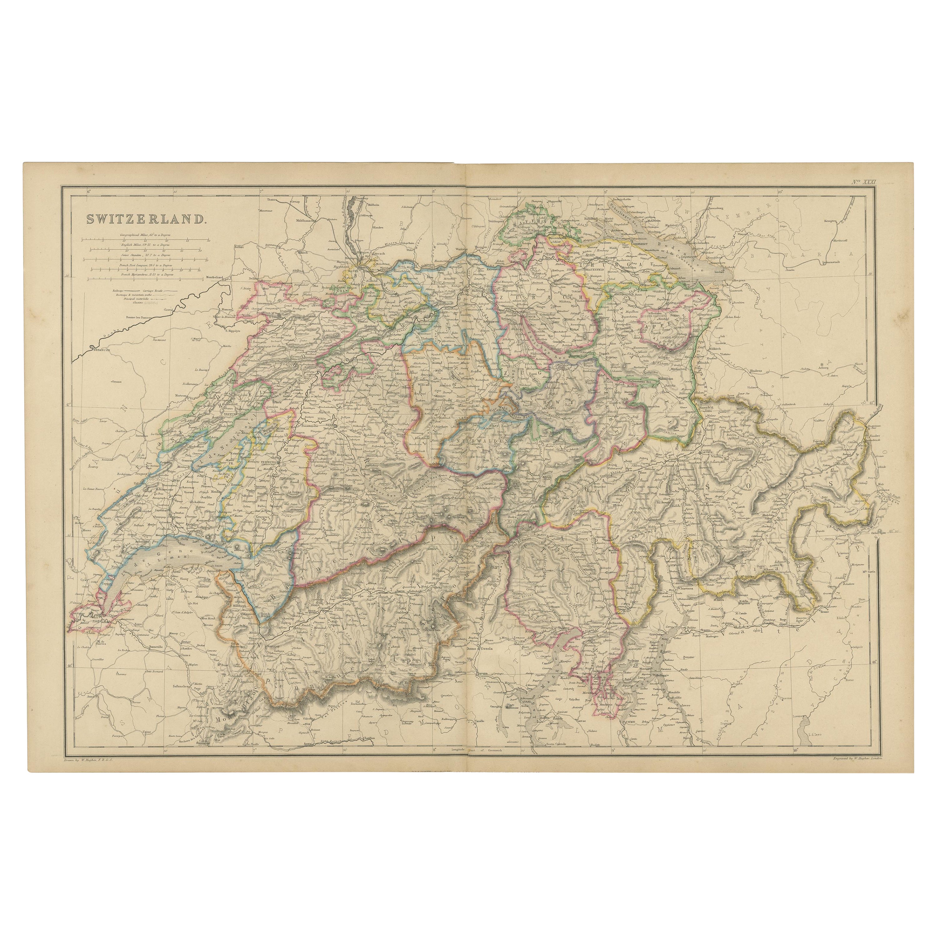
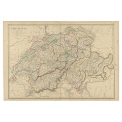
- 1859 Antique Swiss Panorama: Blackie's Detailed Map of SwitzerlandLocated in Langweer, NLThe "Antique Map of Switzerland" is a distinguished piece from 'The Imperial Atlas of Modern Geography', published in 1859 by the renowned cartographer W. G. Blackie. This map presen...Category
Antique Mid-19th Century Maps
MaterialsPaper
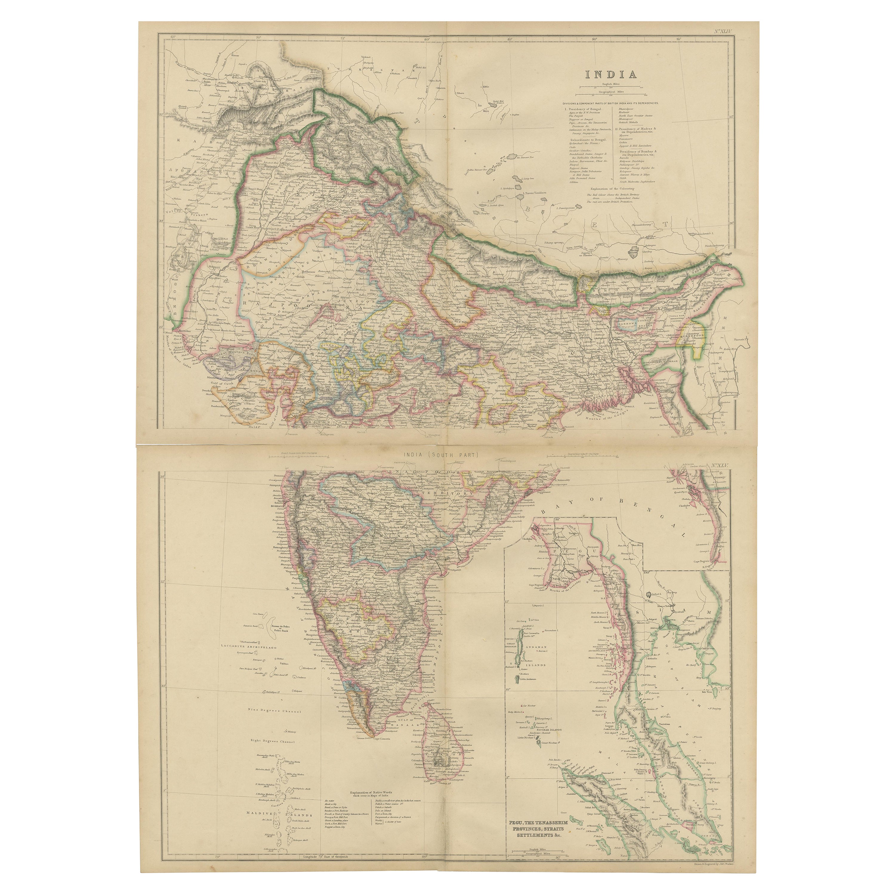
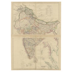
- Vintage Cartographic Collection Set of India Explored - W. G. Blackie's 1859Located in Langweer, NLAntique map titled 'India'. Original antique map of India with inset maps of Pegu, the Tenasserim Provinces, straits settlements. This map originate...Category
Antique Mid-19th Century Maps
MaterialsPaper
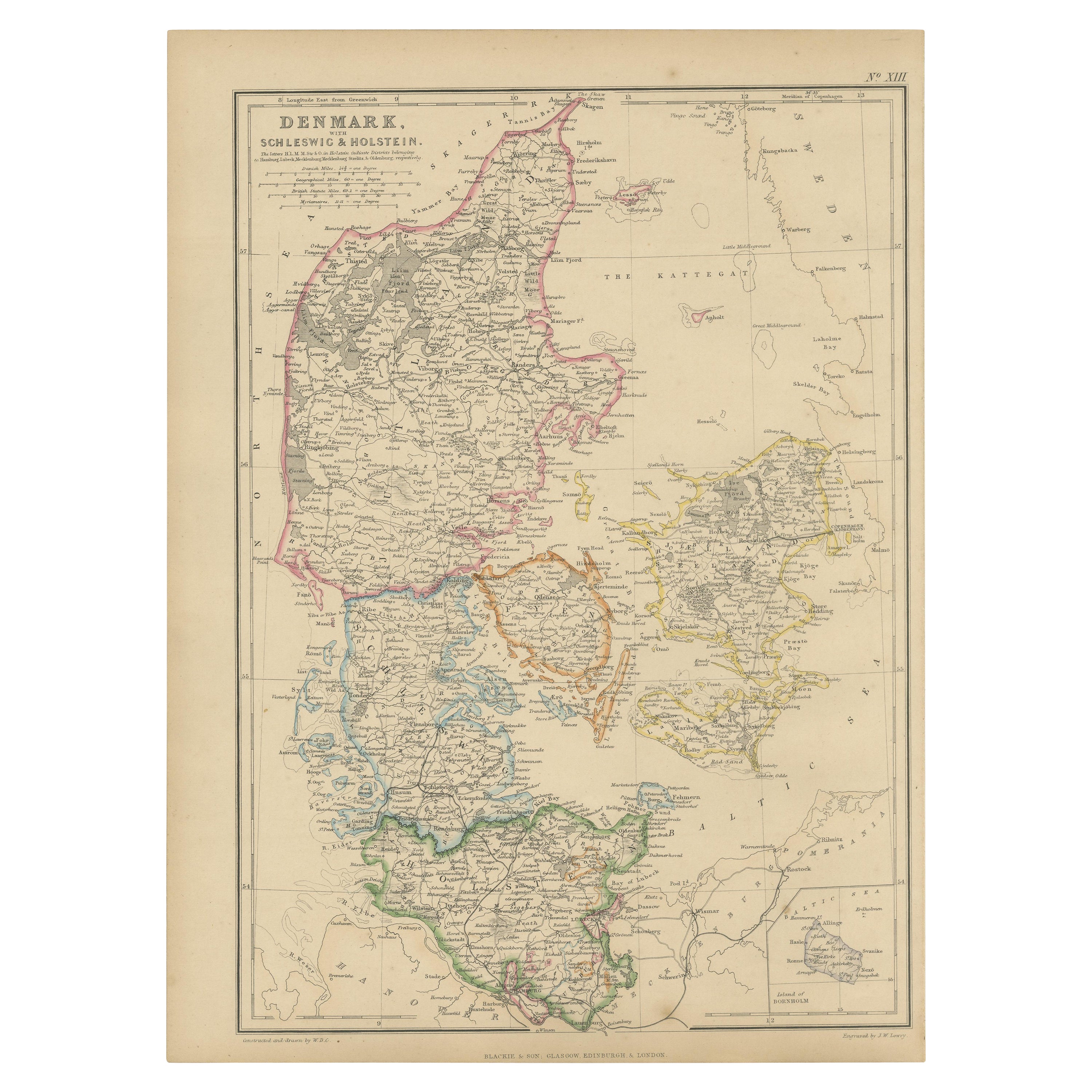
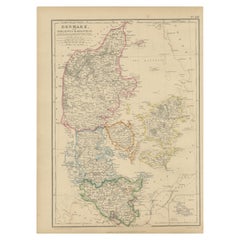
- 1859 Denmark and Schleswig-Holstein Map: A Historical View from Blackie's AtlasLocated in Langweer, NLThe "Antique Map of Denmark with Schleswig & Holstein" from 'The Imperial Atlas of Modern Geography', published by W. G. Blackie in 1859, is a valuable historical document that provi...Category
Antique Mid-19th Century Maps
MaterialsPaper

You May Also Like
- Large Antique 1859 Map of North AmericaLocated in Sag Harbor, NYThis Map was made by Augustus Mitchell in 1859 It is in amazing condition for being 163 years old. This price is for the rolled up easy to ship version of this piece. I will be Frami...Category
Antique Mid-19th Century American Maps
MaterialsCanvas, Paper

- Old Horizontal Map of EnglandBy TassoLocated in Alessandria, PiemonteST/520 - Old rare Italian map of England, dated 1826-1827 - by Girolamo Tasso, editor in Venise, for the atlas of M.r Le-Sage.Category
Antique Early 19th Century Italian Other Prints
MaterialsPaper
- 17th Century Hand-Colored Map of Southeastern England by Mercator and HondiusBy Gerard MercatorLocated in Alamo, CAA 17th century copperplate hand-colored map entitled "The Sixt Table of England" by Gerard Mercator and Jodocus Hondius, published in Amsterdam in 1635 in 'Cosmographicall Descriptio...Category
Antique Mid-17th Century Dutch Maps
MaterialsPaper
- England, Scotland & Ireland: A Hand Colored Map of Great Britain by TirionBy Isaak TirionLocated in Alamo, CAThis is a hand-colored double page copperplate map of Great Britain entitled "Nieuwe Kaart van de Eilanden van Groot Brittannien Behelzende de Kon...Category
Antique Mid-18th Century Dutch Maps
MaterialsPaper
- Large 17th Century Hand Colored Map of England and the British Isles by de WitBy Frederick de WitLocated in Alamo, CAA large hand colored 17th century map of England and the British Isles by Frederick de Wit entitled "Accuratissima Angliæ Regni et Walliæ Principatus", published in Amsterdam in 1680. It is a highly detailed map of England, Scotland, the Scottish Isles...Category
Antique Late 17th Century Dutch Maps
MaterialsPaper
- Hampshire County, Britain/England: A Map from Camden's" Britannia" in 1607By John NordenLocated in Alamo, CAAn early hand-colored map of Britain's Hampshire county, published in the 1607 edition of William Camden's great historical description of the British Isles, "Britannia". This map was drawn by cartographer John Norden (c. 1547-1625) and engraved by William Hole (active 1607-1624) and William Kip...Category
Antique Early 17th Century English Maps
MaterialsPaper


Recently Viewed
View AllMore Ways To Browse
Wales And Wales Furniture
Antique 2 Modern Used Furniture
Antique Map England
Antique Maps England
Antique England Map
Antique Maps Of England
Antique Map Of England
Set Of Maps
Antique Map Set
Set Of Antique Maps
Maps Wales
Map Of Wales
Antique Maps Wales
Antique Map Wales
Antique Map Of Wales
Antique Maps Of Wales
Old Maps Of World
16th Century Dutch