Items Similar to Antique Map of Asia by N. de Fer, 1700


Want more images or videos?
Request additional images or videos from the seller
1 of 5
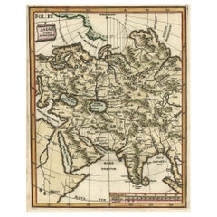
Antique Map of Asia by N. de Fer, 1700
About the Item
Antique map titled 'L‘ Asie Suivant les Nouvelles Decouvertes dont les Point Principaux (..)'. By N. de Fer, 1700. Depicting China, Japan, India, New Zealand, Borneo, Sumatra, Java, part of Africa and many more.
- Dimensions:Height: 39.8 in (101.1 cm)Width: 50 in (127 cm)Depth: 0.5 in (1.27 cm)
- Materials and Techniques:
- Period:
- Date of Manufacture:1700
- Condition:General age-related toning. Small stain near New Zealand. Passe-partout included. Please study image carefully.
- Seller Location:Langweer, NL
- Reference Number:Seller: No code1stDibs: LU3054311063141
About the Seller
5.0
Platinum Seller
These expertly vetted sellers are 1stDibs' most experienced sellers and are rated highest by our customers.
Established in 2009
1stDibs seller since 2017
1,916 sales on 1stDibs
Typical response time: <1 hour
- ShippingRetrieving quote...Ships From: Langweer, Netherlands
- Return PolicyA return for this item may be initiated within 14 days of delivery.
More From This SellerView All
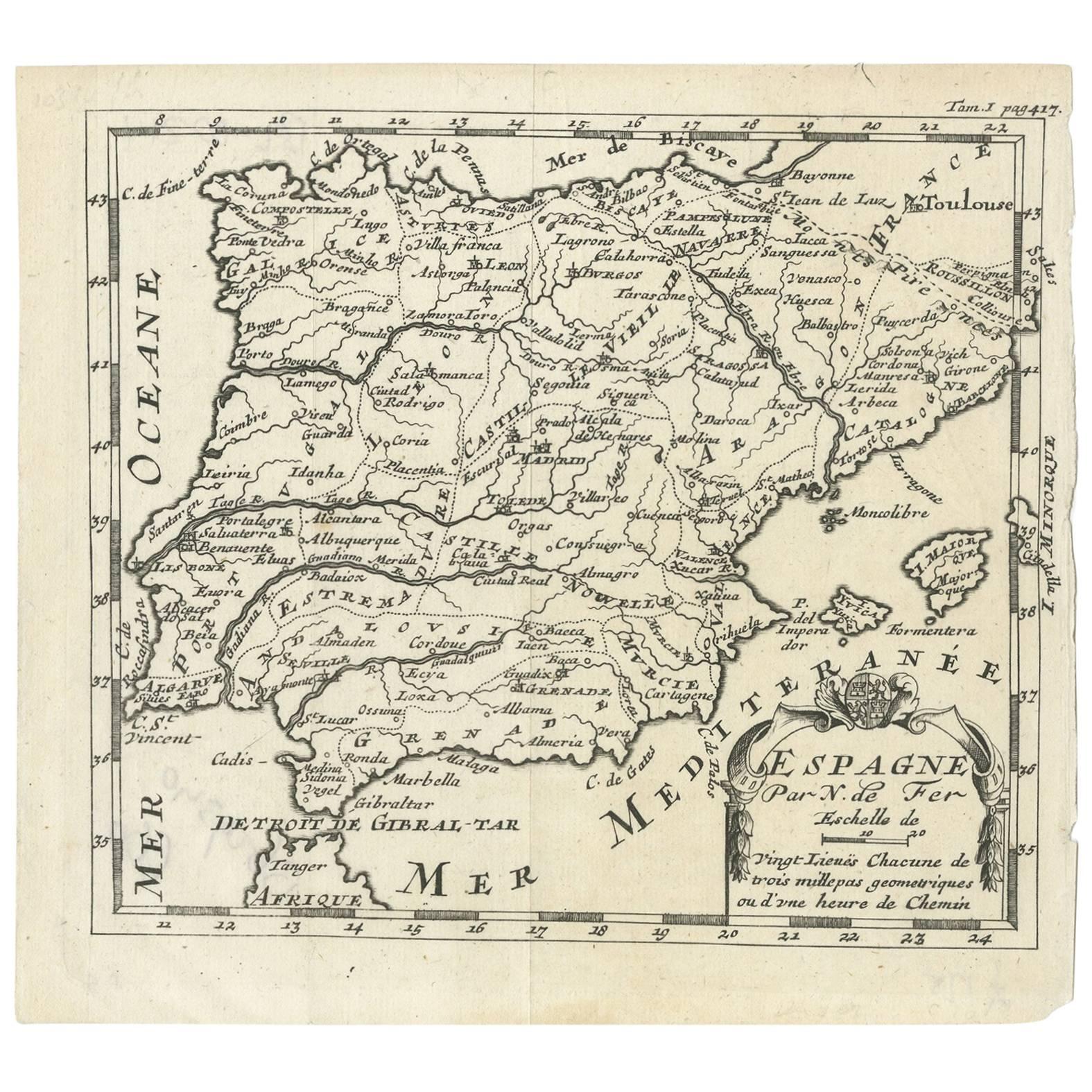
- Antique Map of Spain by N. de Fer, circa 1700Located in Langweer, NLAntique map of Spain and Portugal with a title cartouche. Nicolas de Fer was the youngest son of the Paris printer and publisher Antoine de Fer. At the ...Category
Antique Early 18th Century Maps
MaterialsPaper
- Antique Map of Portugal by P. Schenk, circa 1700Located in Langweer, NLAntique map titled 'Portugalliae et Algarbia'. Striking example of Schenk's rare map of Portugal, with the coats of arms of Portugal, Algarbia and a Spanish sailing vessell in the ca...Category
Antique Early 18th Century Maps
MaterialsPaper
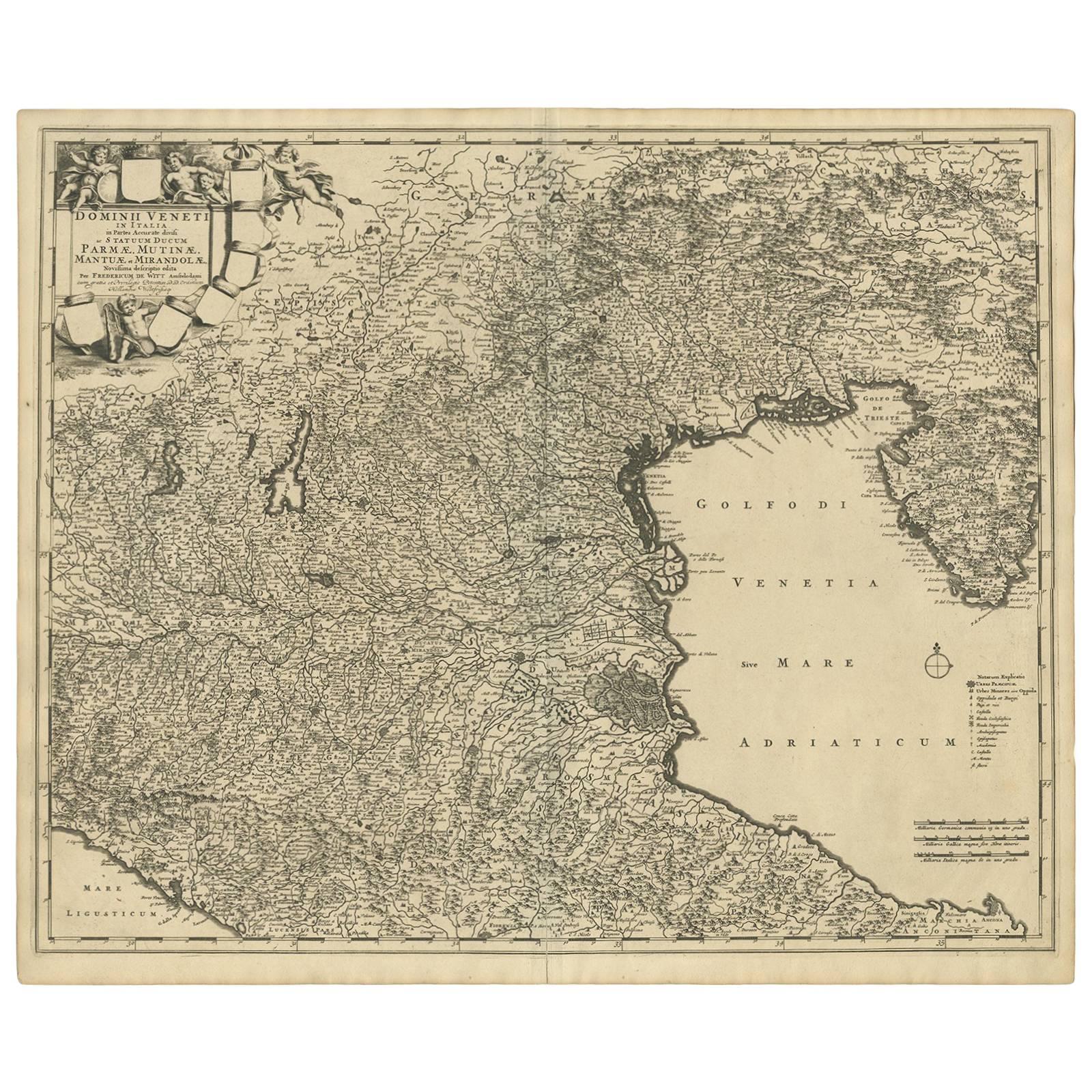
- Antique Map of the Region of Venice, Italy by F. De Wit, circa 1700Located in Langweer, NLAntique map of the Dominion of Venice, extending from Stato di Milano and Genoa to Istria. Including Lake Garda, Venice and Istria.Category
Antique Early 18th Century Maps
MaterialsPaper
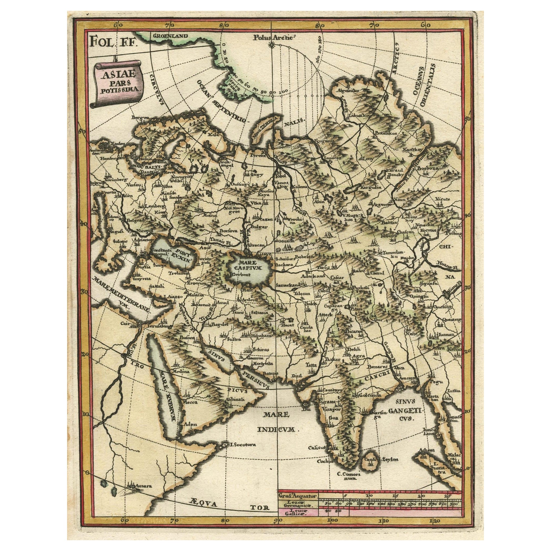
- Antique Map of Central Asia Wiht Nova Zembla as an Island, C.1700Located in Langweer, NLAntique map titled 'Asiae Pars Potissima.' Attractive map focusing on the central part of Asia but extending to include much of Eastern Europe and Northeastern Africa. The Caspian Se...Category
Antique 18th Century Maps
MaterialsPaper
- Antique Map of Asia by A & C, Black, 1870Located in Langweer, NLAntique map titled 'Asia'. Original antique map of Asia. This map originates from ‘Black's General Atlas of The World’. Published by A & C. Black, 1870.Category
Antique Late 19th Century Maps
MaterialsPaper
- Antique Map of Asia by Johnson, 1872Located in Langweer, NLAntique map titled 'Johnson's Asia'. Original map of Asia. This map originates from 'Johnson's New Illustrated Family Atlas of the World' by A.J. Johnson. Published, 1872.Category
Antique Late 19th Century Maps
MaterialsPaper


You May Also Like
- Original Antique Map of Asia. C.1780Located in St Annes, LancashireGreat map of Asia Copper-plate engraving Published C.1780 Two small worm holes to right side of map Unframed.Category
Antique Early 1800s English Georgian Maps
MaterialsPaper

- Original Antique Map of South East Asia by Thomas Clerk, 1817Located in St Annes, LancashireGreat map of South East Asia Copper-plate engraving Drawn and engraved by Thomas Clerk, Edinburgh. Published by Mackenzie And Dent, 1817 Unframed.Category
Antique 1810s English Maps
MaterialsPaper
- Original Antique Map of South East Asia by Becker, circa 1840Located in St Annes, LancashireGreat map of South East Asia Steel engraving with original color outline Engraved by Becker Published by Virtue, circa 1840. Unframed.Category
Antique 1840s English Other Maps
MaterialsPaper
- Original Antique Map of South East Asia, Arrowsmith, 1820Located in St Annes, LancashireGreat map of South East Asia Drawn under the direction of Arrowsmith Copper-plate engraving Published by Longman, Hurst, Rees, Orme and Brown, 1820 Unframed.Category
Antique 1820s English Maps
MaterialsPaper
- Antique Map of Italy by Andriveau-Goujon, 1843By Andriveau-GoujonLocated in New York, NYAntique Map of Italy by Andriveau-Goujon, 1843. Map of Italy in two parts by Andriveau-Goujon for the Library of Prince Carini at Palazzo Carini i...Category
Antique 1840s French Maps
MaterialsLinen, Paper
- Antique Map of Principality of MonacoBy Antonio Vallardi EditoreLocated in Alessandria, PiemonteST/619 - "Old Geographical Atlas of Italy - Topographic map of ex-Principality of Monaco" - ediz Vallardi - Milano - A somewhat special edition ---Category
Antique Late 19th Century Italian Other Prints
MaterialsPaper


Recently Viewed
View AllMore Ways To Browse
Antique New Zealand Map
Antique Maps New Zealand
New Zealand Antique Map
Antique Map Of New Zealand
Antique Map New Zealand
Antique Prints Maps
Antique Map Prints
Antique Maps And Prints
Antique Prints And Maps
Map 19th Century
Antique Atlas Furniture
Map Of France
Large Map
Large Maps
Antique German Collectibles
Original World Map
World Atlas
Map Of Itsly