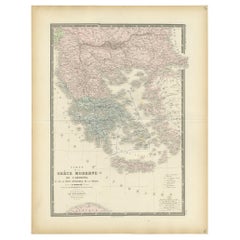
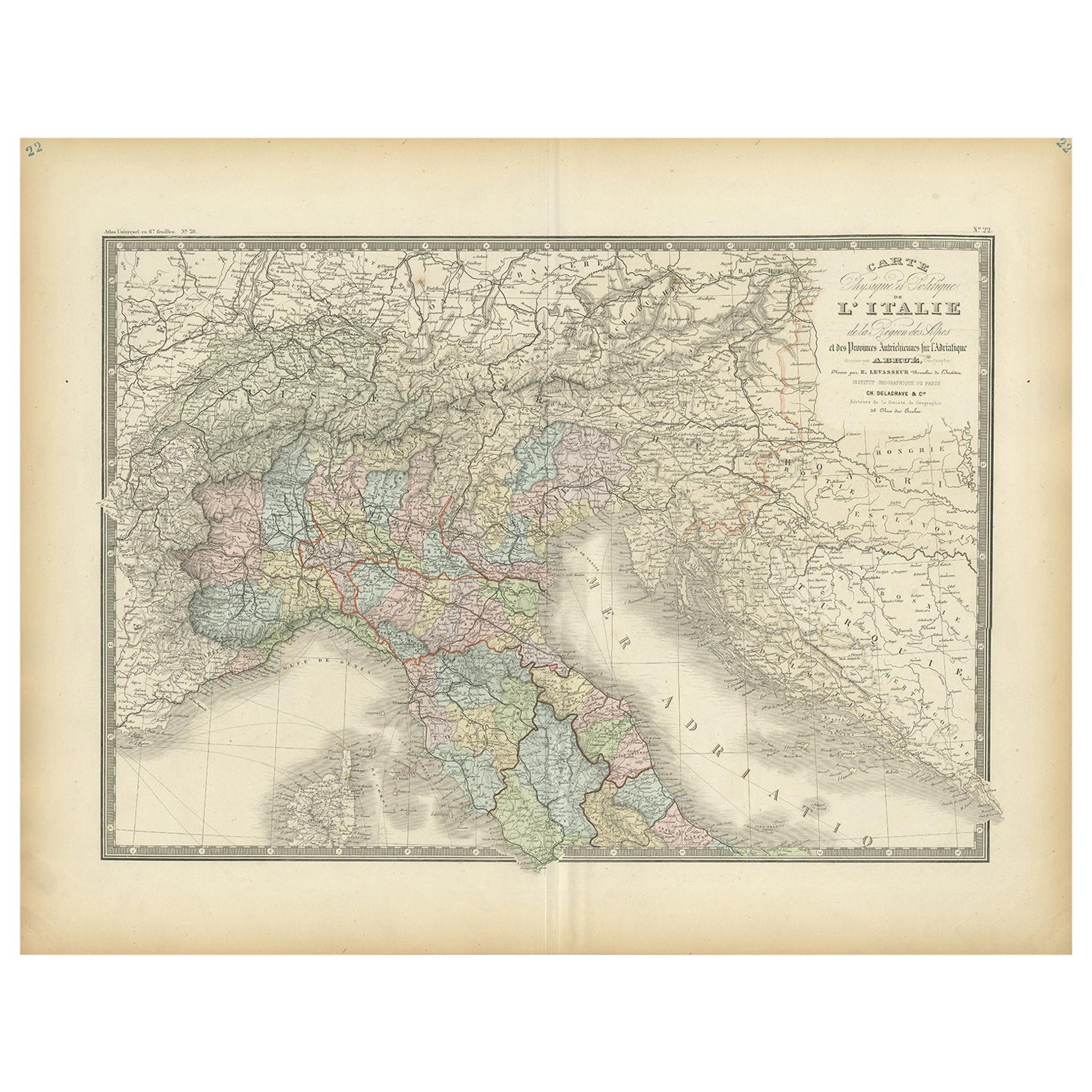
Antique Map of Greece by Levasseur, '1875'
View Similar Items


Want more images or videos?
Request additional images or videos from the seller
1 of 5
Antique Map of Greece by Levasseur, '1875'
About the Item
- Dimensions:Height: 24.02 in (61 cm)Width: 18.71 in (47.5 cm)Depth: 0.02 in (0.5 mm)
- Materials and Techniques:
- Period:
- Date of Manufacture:1875
- Condition:General age-related toning, minor wear. Few small holes, also affecting image. Original folding line, blank verso. Please study images carefully.
- Seller Location:Langweer, NL
- Reference Number:Seller: BG-12257-251stDibs: LU3054320208922
About the Seller
5.0
Recognized Seller
These prestigious sellers are industry leaders and represent the highest echelon for item quality and design.
Platinum Seller
Premium sellers with a 4.7+ rating and 24-hour response times
Established in 2009
1stDibs seller since 2017
2,442 sales on 1stDibs
Typical response time: 1 hour
Authenticity Guarantee
In the unlikely event there’s an issue with an item’s authenticity, contact us within 1 year for a full refund. DetailsMoney-Back Guarantee
If your item is not as described, is damaged in transit, or does not arrive, contact us within 7 days for a full refund. Details24-Hour Cancellation
You have a 24-hour grace period in which to reconsider your purchase, with no questions asked.Vetted Professional Sellers
Our world-class sellers must adhere to strict standards for service and quality, maintaining the integrity of our listings.Price-Match Guarantee
If you find that a seller listed the same item for a lower price elsewhere, we’ll match it.Trusted Global Delivery
Our best-in-class carrier network provides specialized shipping options worldwide, including custom delivery.More From This Seller
View AllAntique Map of Scandinavia by Levasseur, 1875
Located in Langweer, NL
Antique map titled 'Carte des Royaumes de Suède, de Norvège et de Danemark'. Large map of Scandinavia. This map originates from 'Atlas de Géographie Moderne P...
Category
Antique Late 19th Century Maps
Materials
Paper

$376 Sale Price
35% Off
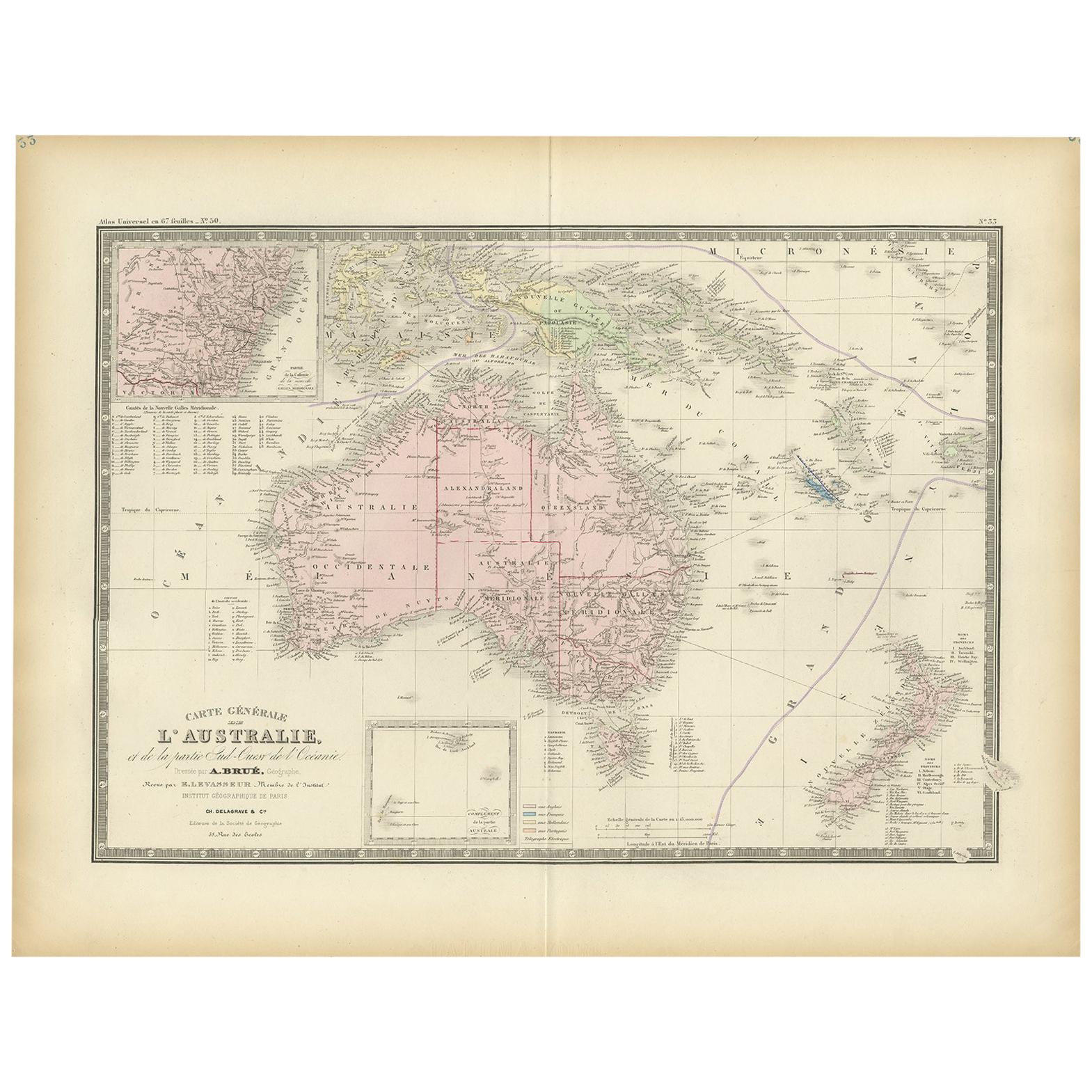
Antique Map of Australia by Levasseur, '1875'
Located in Langweer, NL
Antique map titled 'Carte générale de l'Australie'. Large map of Australia. This map originates from 'Atlas de Géographie Moderne Physique et Politiq...
Category
Antique Late 19th Century Maps
Materials
Paper

$405 Sale Price
30% Off
Antique Map of Europe by Levasseur, '1875'
Located in Langweer, NL
Antique map titled 'Carte générale de l'Europe'. Large map of Europe. This map originates from 'Atlas de Géographie Moderne Physique et Politique' by A. Levasseur. Published 1875.
Category
Antique Late 19th Century Maps
Materials
Paper

$347 Sale Price
40% Off
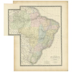
Antique Map of Brazil by Levasseur '1875'
Located in Langweer, NL
Antique map titled 'Carte du Brésil'. Large map of Brazil, with small fold out. This map originates from 'Atlas de Géographie Moderne Physique et Politiq...
Category
Antique Late 19th Century Maps
Materials
Paper
$370 Sale Price
20% Off
Antique Map of Oceania by Levasseur, '1875'
Located in Langweer, NL
Antique map titled 'Carte générale de l'Océanie'. Large map of Oceania. This map originates from 'Atlas de Géographie Moderne Physique et Politique' by A. Levasseur. Published 1875.
Category
Antique Late 19th Century Maps
Materials
Paper

$231 Sale Price
60% Off
Antique Map of Siberia by Levasseur '1875'
Located in Langweer, NL
Antique map titled 'Carte de la Russie d'Asie Sibérie'. Large map of Siberia. This map originates from 'Atlas de Géographie Moderne Physique et Politique' by A. Levasseur. Published ...
Category
Antique Late 19th Century Maps
Materials
Paper

$370 Sale Price
20% Off
You May Also Like
Original Antique Map of Ancient Greece- Boeotia, Thebes, 1787
Located in St Annes, Lancashire
Great map of Ancient Greece. Showing the region of Boeotia, including Thebes
Drawn by J.D. Barbie Du Bocage
Copper plate engraving by P.F T...
Category
Antique 1780s French Other Maps
Materials
Paper

Original Antique Map of Ancient Greece, Achaia, Corinth, 1786
Located in St Annes, Lancashire
Great map of Ancient Greece. Showing the region of Thessaly, including Mount Olympus
Drawn by J.D. Barbie Du Bocage
Copper plate engraving by P.F Tardieu
Original hand color...
Category
Antique 1780s French Other Maps
Materials
Paper

Antique Map of Italy by Andriveau-Goujon, 1843
By Andriveau-Goujon
Located in New York, NY
Antique Map of Italy by Andriveau-Goujon, 1843. Map of Italy in two parts by Andriveau-Goujon for the Library of Prince Carini at Palazzo Carini i...
Category
Antique 1840s French Maps
Materials
Linen, Paper

$3,350 / set
Antique Map of Principality of Monaco
By Antonio Vallardi Editore
Located in Alessandria, Piemonte
ST/619 - "Old Geographical Atlas of Italy - Topographic map of ex-Principality of Monaco" -
ediz Vallardi - Milano -
A somewhat special edition ---
Category
Antique Late 19th Century Italian Other Prints
Materials
Paper

Greece, "Graeciae Antiquae"" A 17th Century Hand-colored Map by Sanson
By Nicolas Sanson
Located in Alamo, CA
This is an original 17th century hand colored copperplate engraved map of Greece entitled "Graeciae Antiquae Tabula Hanc Geographicam" by Nicolas d'Abbeville Sanson, engraved and pub...
Category
Antique Mid-17th Century French Maps
Materials
Paper

Original Antique Map of Sweden, Engraved by Barlow, 1806
Located in St Annes, Lancashire
Great map of Sweden
Copper-plate engraving by Barlow
Published by Brightly & Kinnersly, Bungay, Suffolk. 1806
Unframed.
Category
Antique Early 1800s English Maps
Materials
Paper

Recently Viewed
View AllMore Ways To Browse
Afghanistan Map
Irish Coat Of Arms
John Speed Antique Maps
Antique Ohio Maps
Antique Map Of Thailand
Antique Maps Dublin
Antique Maps Virginia
Antique Newfoundland Canada
Malabar Map
Malaysia Map
Sebastian Munster
Victorian Staircase
Antique Great Lakes Map
Antique Railroad Scale
Burgundy Map
Divided Lands
Framed Africa Maps
Jamaican Antique