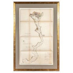
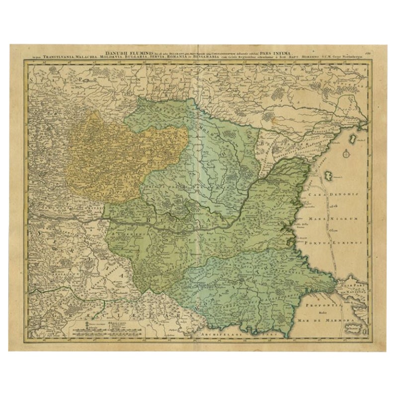
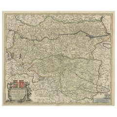
Map of River Danube, from Regensburg, Passau and Vienna to the Black Sea, c.1660
View Similar Items
Want more images or videos?
Request additional images or videos from the seller
1 of 5
Map of River Danube, from Regensburg, Passau and Vienna to the Black Sea, c.1660
About the Item
- Dimensions:Height: 20.87 in (53 cm)Width: 33.47 in (85 cm)Depth: 0 in (0.02 mm)
- Materials and Techniques:
- Period:1660-1669
- Date of Manufacture:circa 1660
- Condition:Wear consistent with age and use.
- Seller Location:Langweer, NL
- Reference Number:Seller: BG-092091stDibs: LU3054326715412
About the Seller
5.0
Platinum Seller
These expertly vetted sellers are 1stDibs' most experienced sellers and are rated highest by our customers.
Established in 2009
1stDibs seller since 2017
1,956 sales on 1stDibs
More From This SellerView All
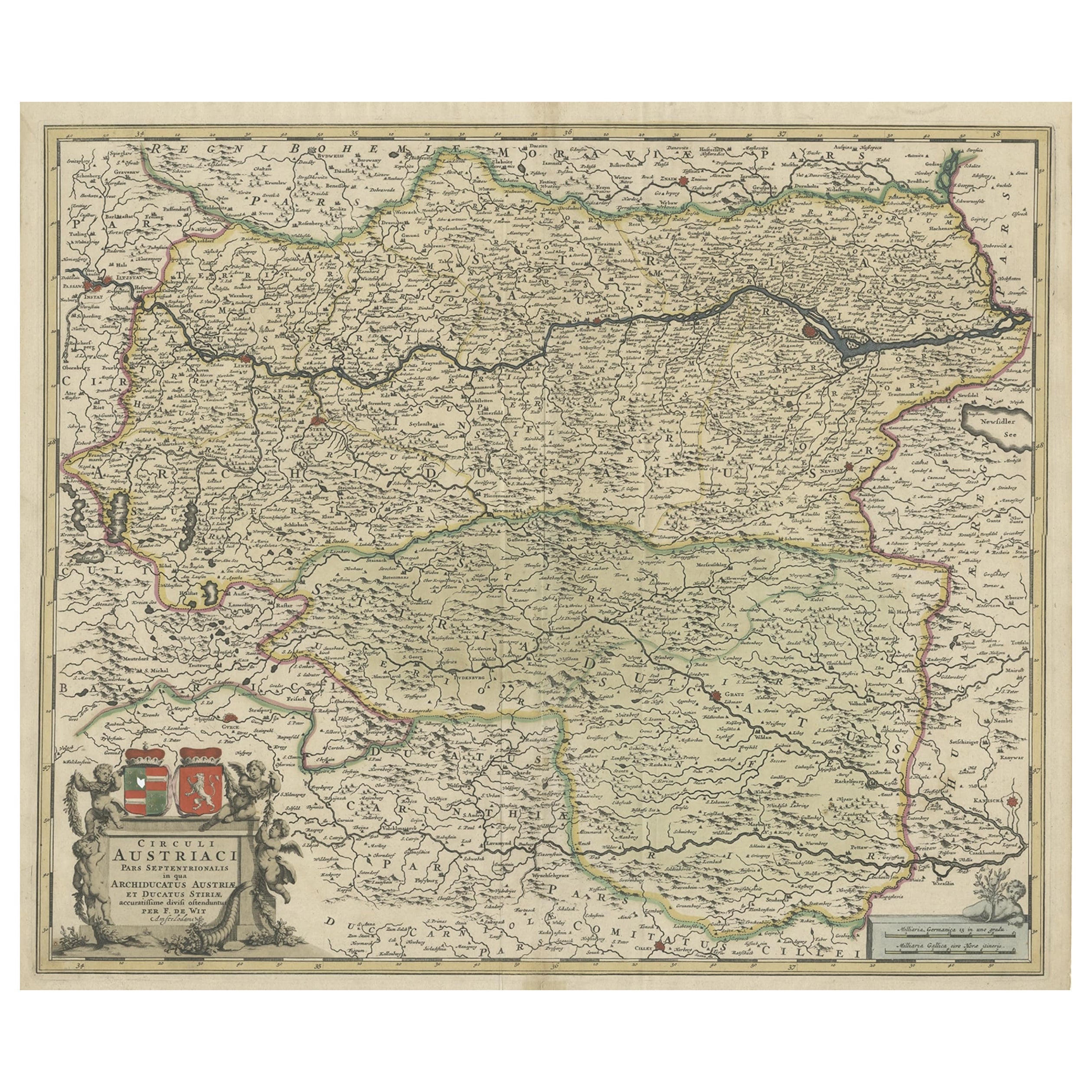
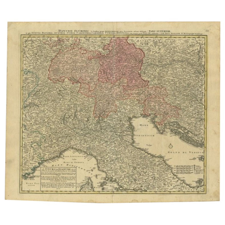
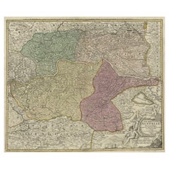
- Antique Map of Austria, Centered Around the Danube from Passau to Vienna, C.1690Located in Langweer, NLAntique map of Austria titled 'Circuli Austriaci pars septentrionalis in quia archiducatus Austriae et Ducatus Stiriae accuratissime divisi ostenduntur per F. de Wit'. Detailed m...Category
Antique 1690s Maps
MaterialsPaper
 $1,198 Sale Price20% Off
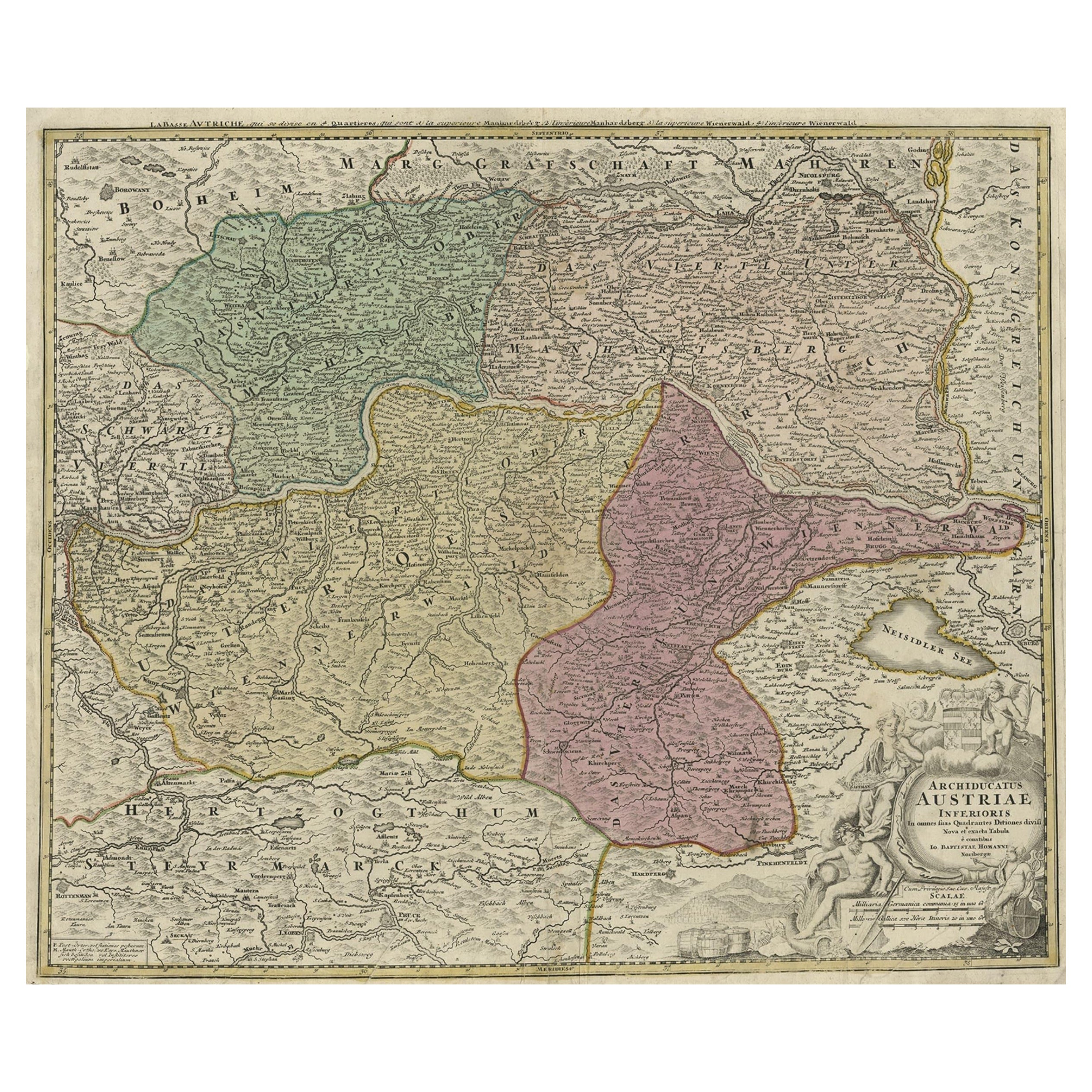
 - Old Decorative Map of Austria, Centered on the Danube River and Vienna, Ca.1720Located in Langweer, NLAntique map titled 'Archiducatus Austriae inferioris (..).' Decorative map of Austria, centered on the course of the Danube River and Vienna. Shows the region from Enss and Steyr to ...Category
Antique 1720s Maps
MaterialsPaper
 $248 Sale Price20% Off
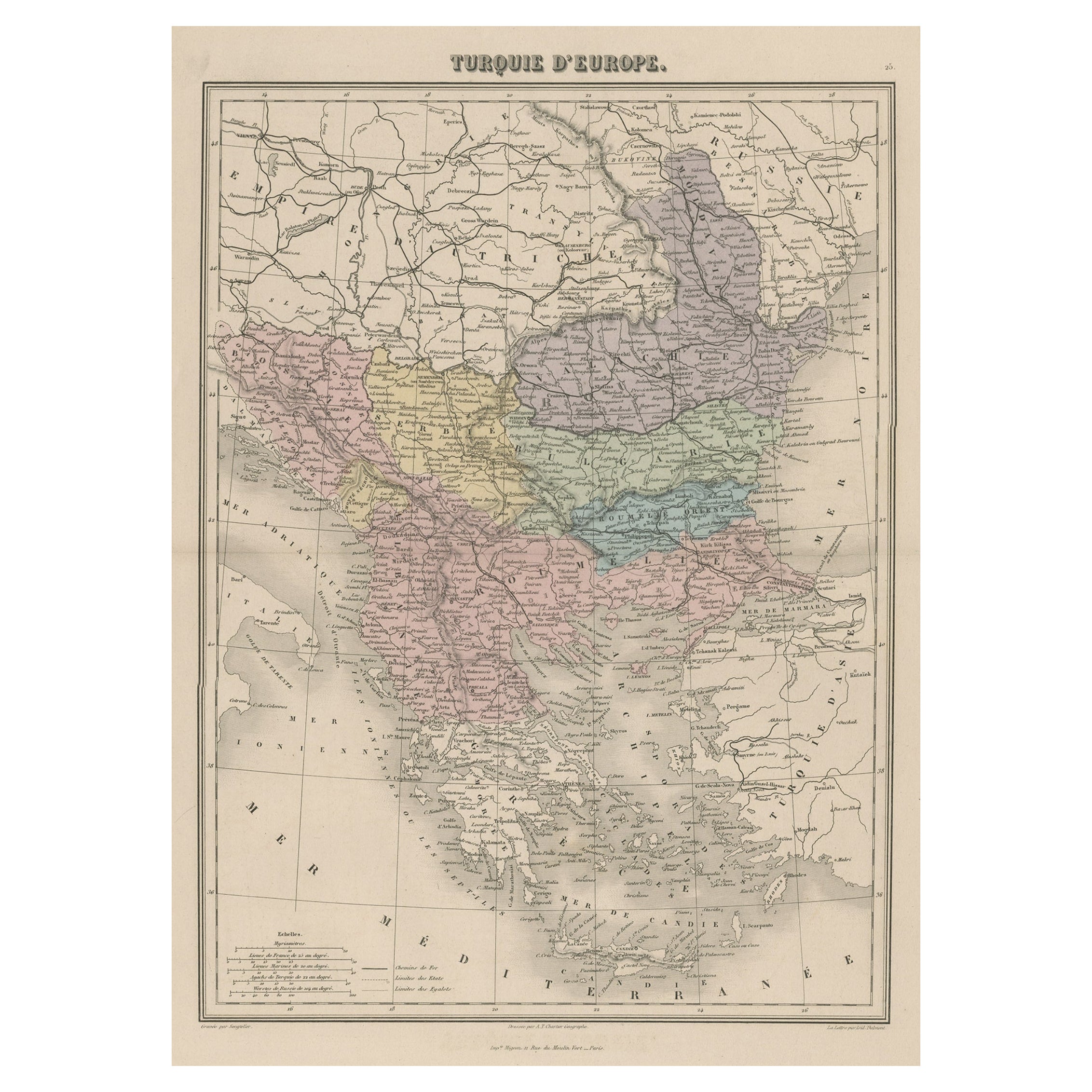
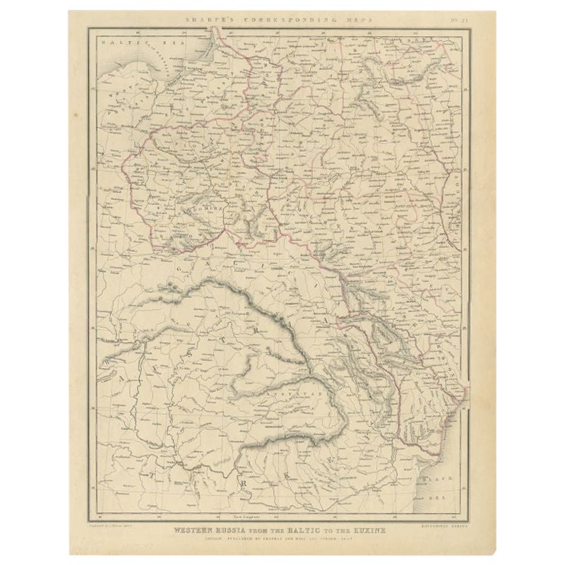
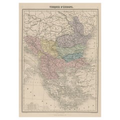
 - Antique Map of Moldova to Thessaly and from the Adriatic to the Black Sea, 1880Located in Langweer, NLAntique map titled 'Turquie d'Europe'. Map of the european parts of Turkey. The map covers from Moldova to Thessaly and from the Adriatic to the Black Sea. Greece and the island ...Category
Antique 1880s Maps
MaterialsPaper
 $124 Sale Price20% Off
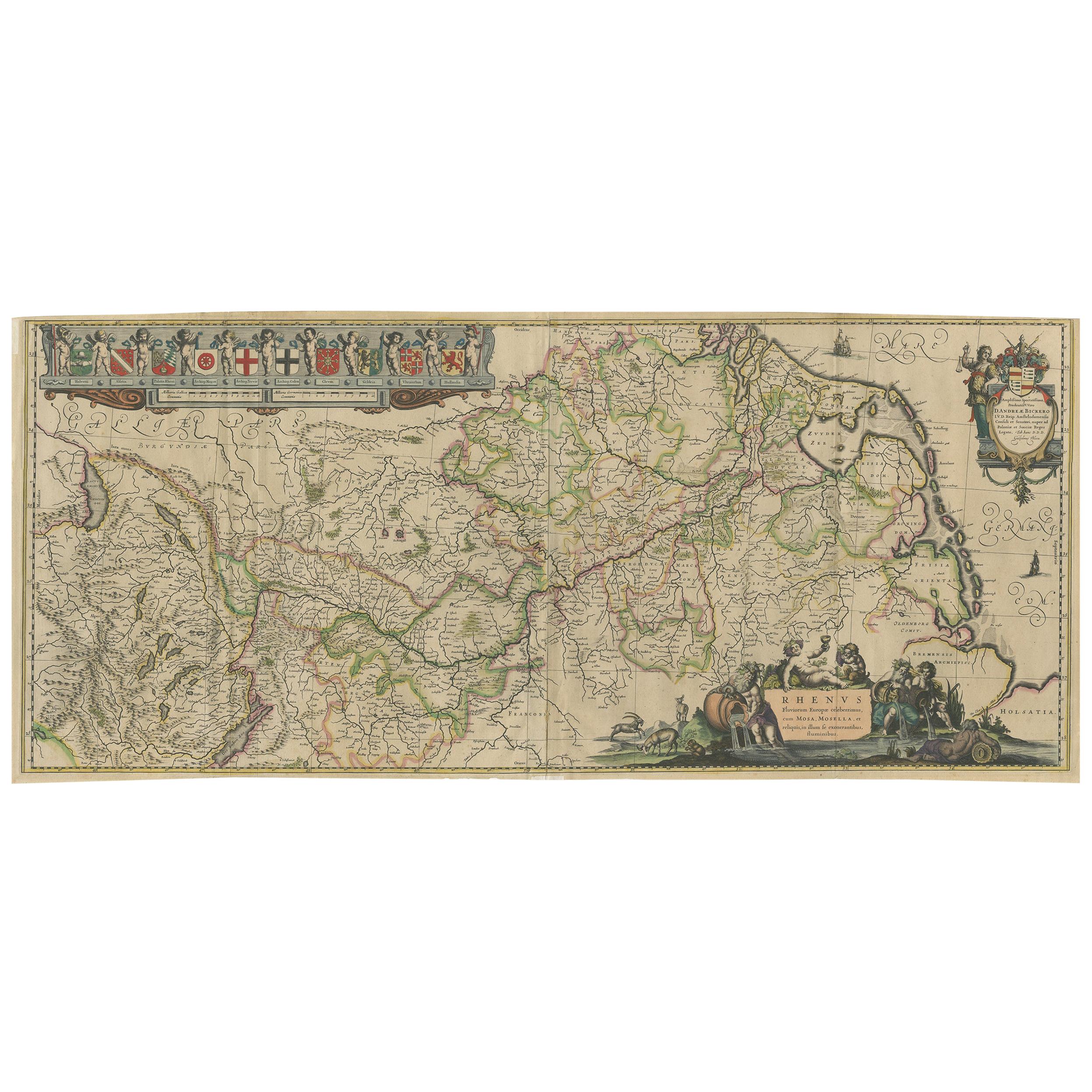
 - Antique Map of the Course of the Rhine River by Blaeu, circa 1640Located in Langweer, NLAntique map titled 'Rhenus Fluviorum Europae celeberrimus, cum Mosa, Mosella, et reliquis, in illum se exonerantibus, fluminibus'. Beautiful map of the course of the Rhine River...Category
Antique Mid-17th Century Maps
MaterialsPaper
 $1,331 Sale Price20% Off
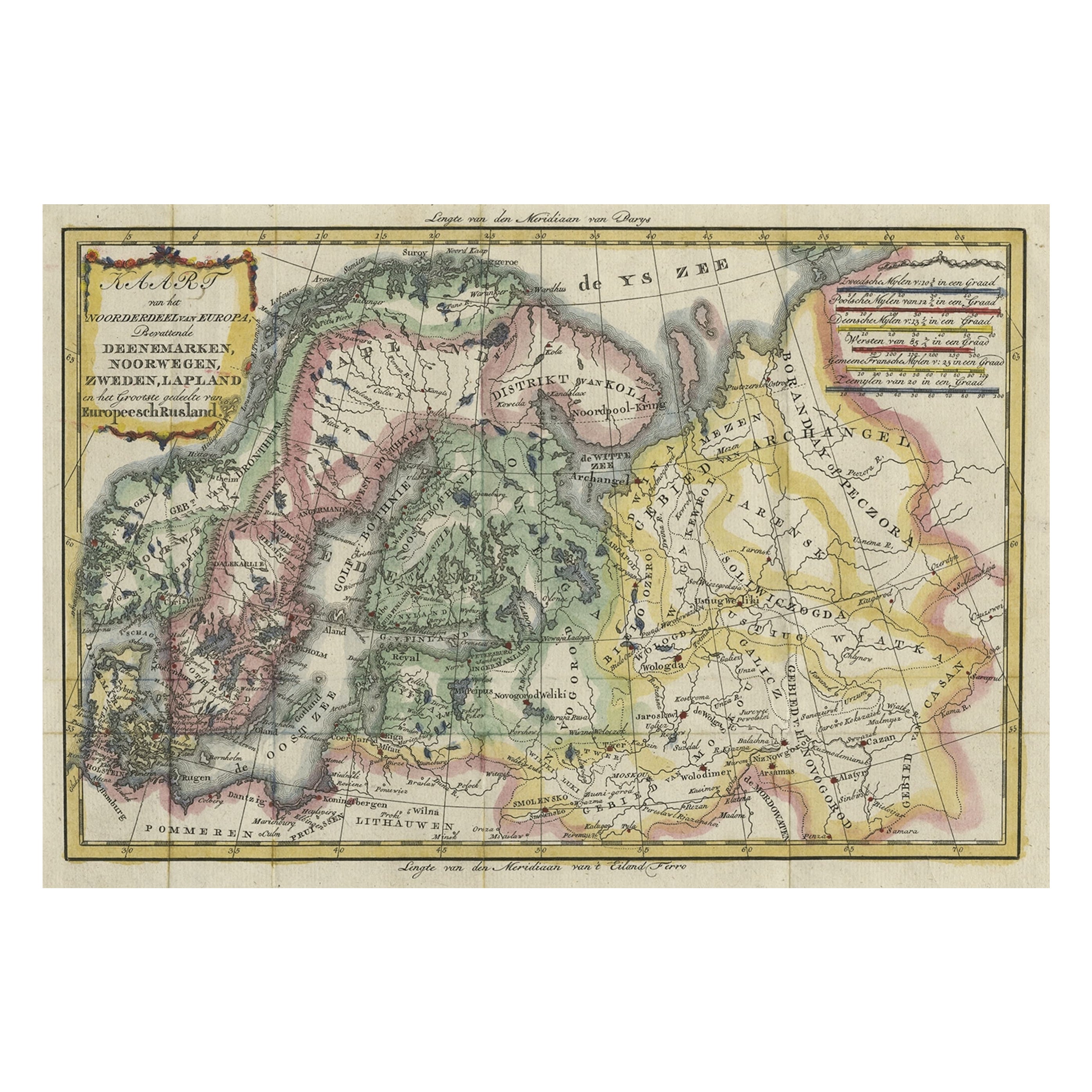
 - Uncommon Old Map of Lapland to Russia and Denmark to Kazan in the South, 1785Located in Langweer, NLDescription: Antique map titled 'Kaart van het Noorderdeel van Europa, Bevattende Deenmarken, Noorwegen, Zweden, Lapland en het Grootste Gedeelte van Europeesch Rusland.' This un...Category
Antique 1780s Maps
MaterialsPaper
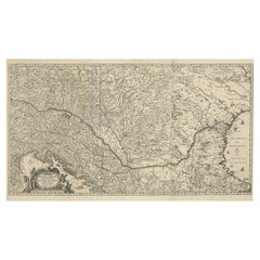
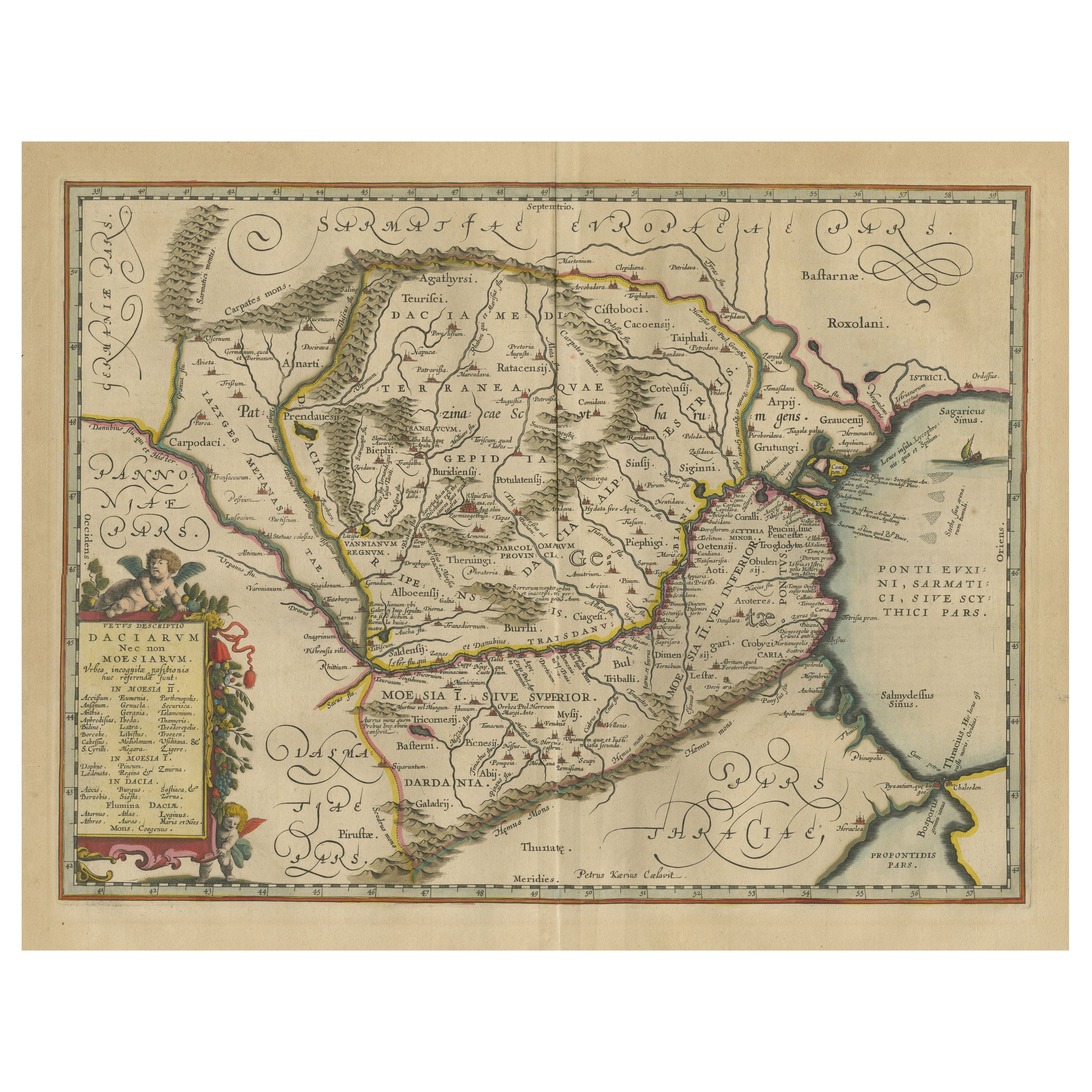
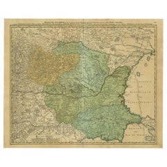
- Antique Map of the Danube River by Homann, c.1720By Homann HeirsLocated in Langweer, NLAntique map titled 'Danubii Fluminis (..)'. Regional map of the Donau river, Shows the Danube river from Belgrade in Serbia, along the border between Roma...Category
Antique 18th Century Maps
MaterialsPaper
 $821 Sale Price20% Off

You May Also Like
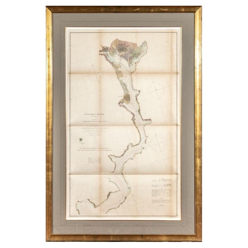
- 1864 U.S. Coast Survey of the Potomac River, from Indian Head to GeorgetownLocated in Bridgeport, CTAn antique nautical map with hand-painted color accents entitled "Potomac River (in four sheets): Sheet no. 4, from Indian Head to Georgetown". Created b...Category
Antique 19th Century American Classical Maps
MaterialsPaper
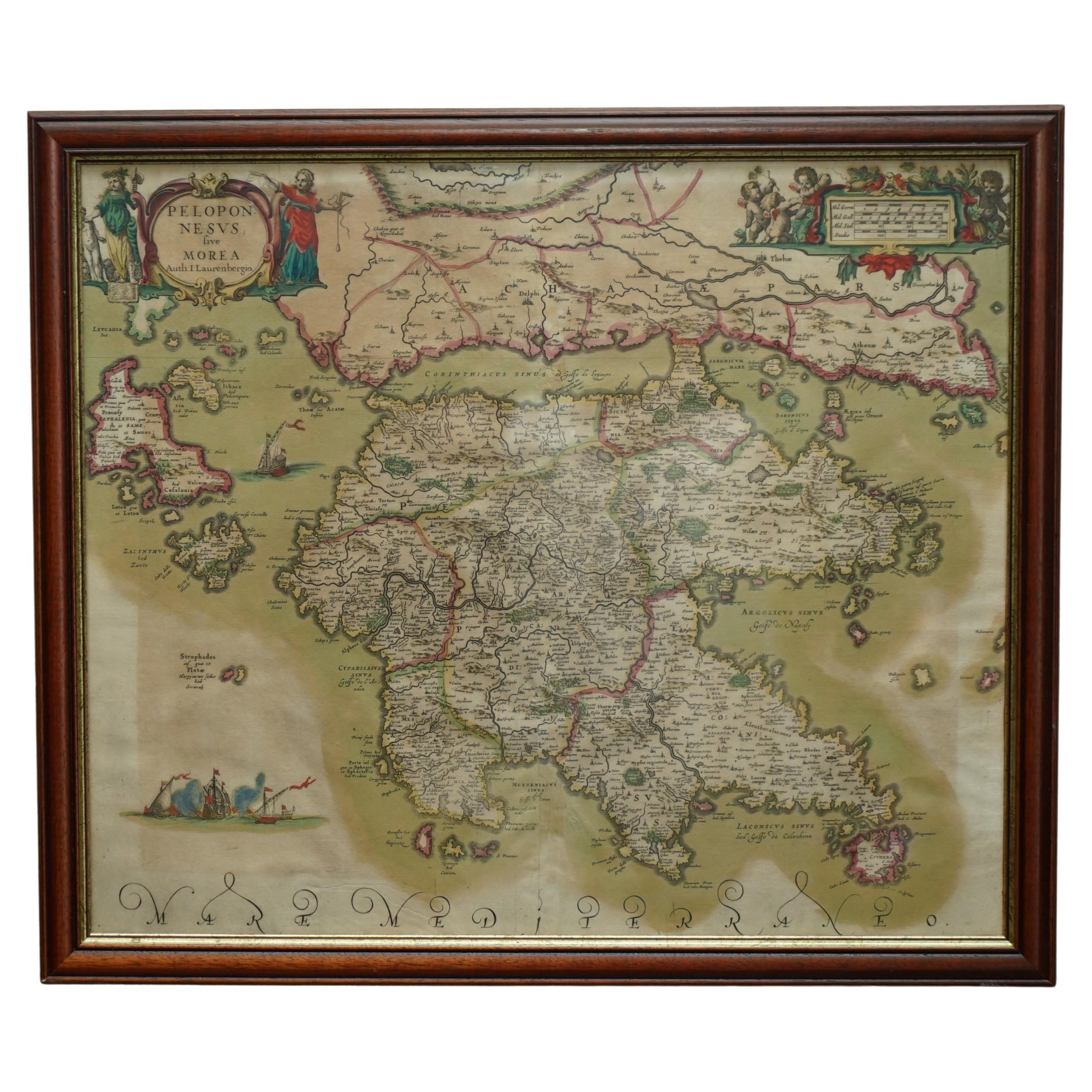
- Greece 1660 Jan Jansson Watercolour Map Peloponesus Sive Morea I LaurenbergioLocated in GBWe are delighted to offer for sale this Jan Jansson Date: 1660 (published) Amsterdam map of Greece. This is an authentic antique map of Peloponnese or...Category
Antique 1660s Danish Dutch Colonial Maps
MaterialsCopper
- Hand Colored 18th Century Homann Map of Austria Including Vienna and the DanubeBy Johann Baptist HomannLocated in Alamo, CA"Archiducatus Austriae inferioris" is a hand colored map of Austria created by Johann Baptist Homann (1663-1724) and published in Nuremberg, Germany in 1728 shortly after his death. ...Category
Antique Early 18th Century German Maps
MaterialsPaper
- Original Antique Map of the American State of Nevada, 1889Located in St Annes, LancashireGreat map of Nevada Drawn and Engraved by W. & A.K. Johnston Published By A & C Black, Edinburgh. Original colour Unframed.Category
Antique 1880s Scottish Victorian Maps
MaterialsPaper
- Original Antique Map of the American State of Oregon, 1889Located in St Annes, LancashireGreat map of Oregon Drawn and Engraved by W. & A.K. Johnston Published By A & C Black, Edinburgh. Original colour Unframed.Category
Antique 1880s Scottish Victorian Maps
MaterialsPaper
- Original Antique Map of the American State of Pennsylvania, 1889Located in St Annes, LancashireGreat map of Pennsylvania Drawn and Engraved by W. & A.K. Johnston Published By A & C Black, Edinburgh. Original colour Unframed. Repair to a minor tear on bottom edge.Category
Antique 1880s Scottish Victorian Maps
MaterialsPaper