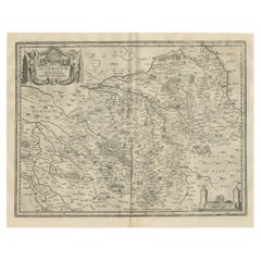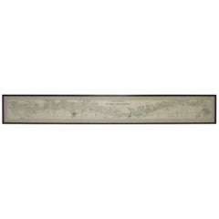
Panoramic Antique Lithographic Map for Louis Latour, Burgundy France Region
View Similar Items


Want more images or videos?
Request additional images or videos from the seller
1 of 11
Panoramic Antique Lithographic Map for Louis Latour, Burgundy France Region
About the Item
- Dimensions:Height: 15.25 in (38.74 cm)Width: 114.75 in (291.47 cm)Depth: 1.38 in (3.51 cm)
- Style:Other (Of the Period)
- Materials and Techniques:
- Place of Origin:
- Period:
- Date of Manufacture:1920s
- Condition:Wear consistent with age and use.
- Seller Location:Peabody, MA
- Reference Number:1stDibs: LU88809308531
About the Seller
4.9
Platinum Seller
These expertly vetted sellers are 1stDibs' most experienced sellers and are rated highest by our customers.
Established in 1998
1stDibs seller since 2010
764 sales on 1stDibs
Typical response time: 1 hour
More From This SellerView All
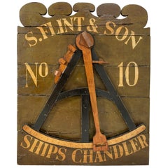
- 19th Century Antique Ships Chandler Shop Advertising SignLocated in Peabody, MAA relic from Boston’s mercantile history and the seafaring trade. This 19th century shop sign displays a fairly detailed replica of a navigator’s octant (or sextant) and the proprietor’s name and street number...Category
Antique Late 19th Century American Folk Art Signs
MaterialsWood
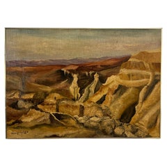
- Modernist Landscape Signed M. Steinberg of the Masada Region, Israel, D.1977Located in Peabody, MAModernist landscape painting depicting the mountainous region where the ancient fortress of Masada once stood in southern Israel. Dated 1977, and signed in Hebrew, M. Steinberg, maki...Category
Vintage 1970s Israeli Mid-Century Modern Paintings
MaterialsPaint
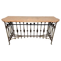
- Antique 19th Century French Wrought Iron and Marble Console TableLocated in Peabody, MAAn exceptional 19th century French wrought iron console table with Rosa Portugués marble top with cut out and molded edges. Wrought iron base features decorative rosettes.Category
Antique 19th Century French French Provincial Console Tables
MaterialsMarble, Wrought Iron
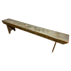
- Antique 19th Century Swedish Rosemaled BenchLocated in Peabody, MAAn antique pine bench hand painted in the Scandinavian rosemale tradition, circa 1800s. Most likely Swedish.Category
Antique 19th Century Swedish Folk Art Benches
MaterialsPaint, Pine
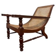
- Antique Paddle Arm British Colonial Plantation Lounge ChairLocated in Peabody, MAAn original antique Anglo-Indian long paddle arm plantation lounge chair in solid teak circa late 19th century. Retains its underarm extensions for reclining with legs up. Depth ...Category
Antique Late 19th Century Unknown Anglo-Indian Lounge Chairs
MaterialsCane, Teak
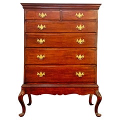
- Antique American Chippendale Chest on Frame, Circa 1780sLocated in Peabody, MAAn American Chippendale chest on frame in cherry consisting of two drawer over four, the frame with carved skirt raised on cabriole legs with pad feet, Connecticut circa 1780.Category
Antique Late 18th Century American Chippendale Dressers
MaterialsCherry
You May Also Like
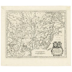
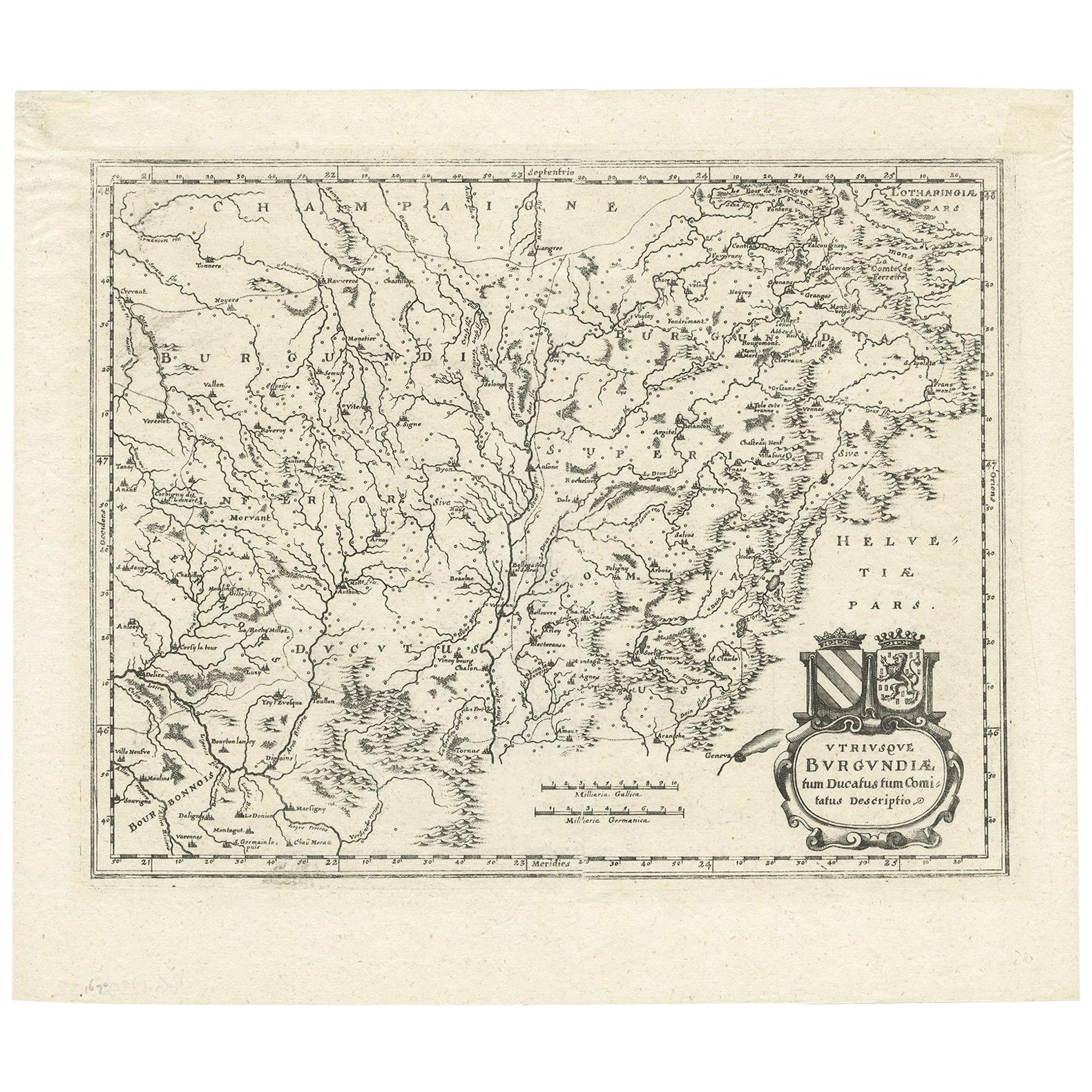
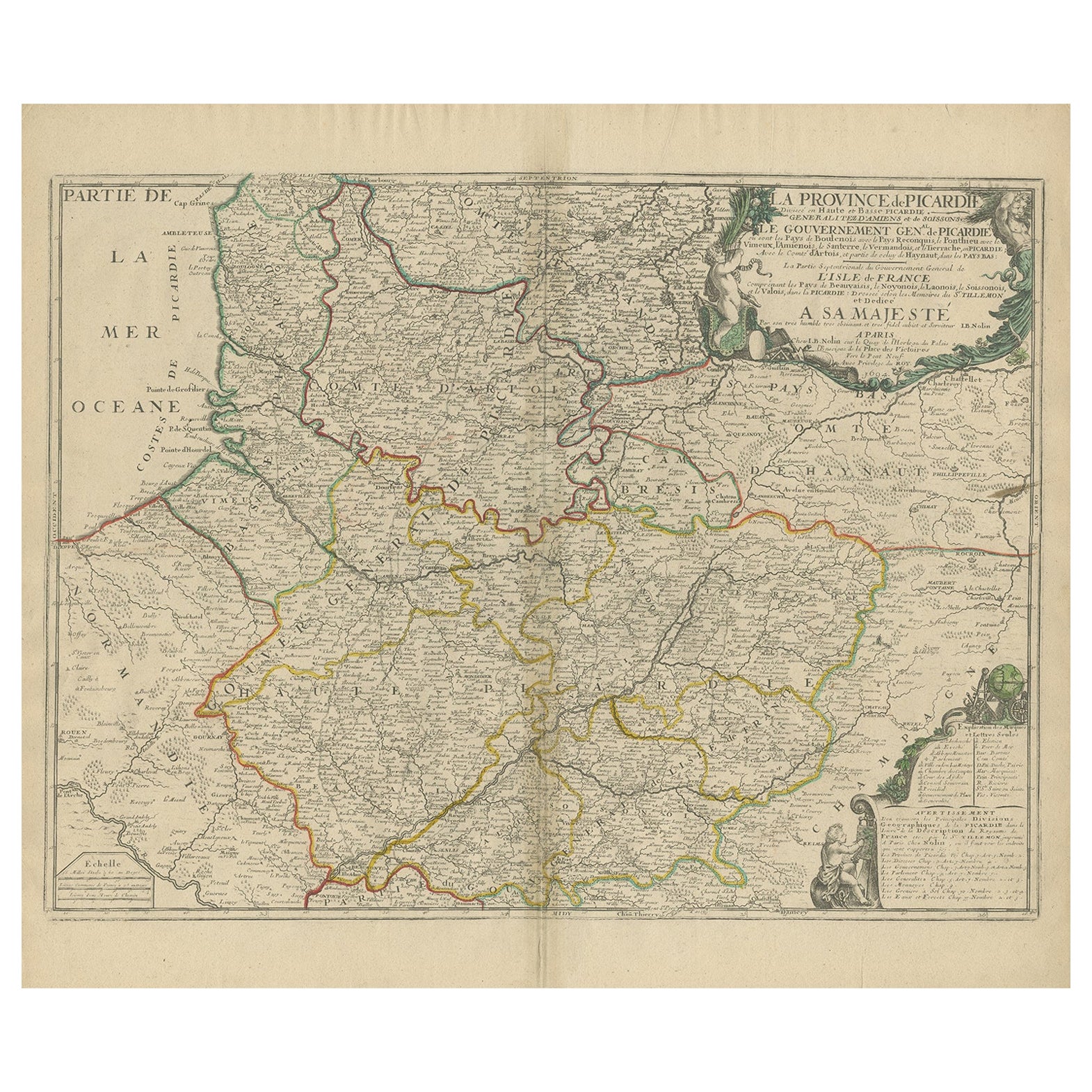
- Antique Map of the Burgundy Region by Merian '1646'Located in Langweer, NLAntique map titled 'Utriusque Burgundiae tum Ducatus tum Comitatus descriptio'. Old map of the Burgundy (Bourgogne) region of France. This map originates from 'Neuwe Archontologia co...Category
Antique Mid-17th Century Maps
MaterialsPaper
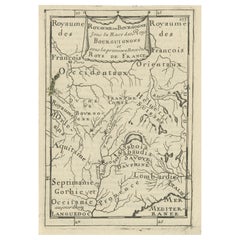
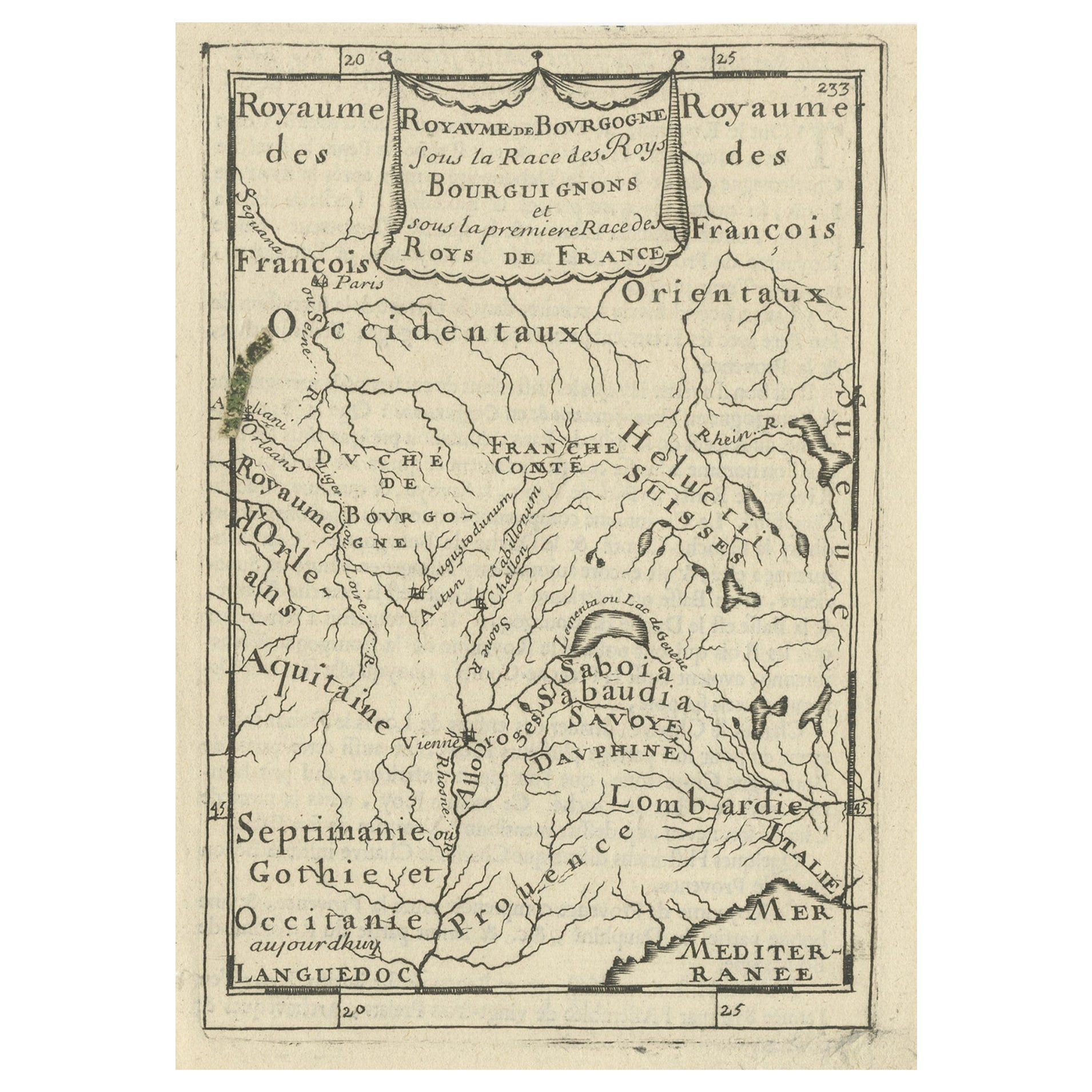
- Nice Detailed Antique Miniature Map of the Burgundy Wine Region, France, ca.1683Located in Langweer, NLAntique map titled 'Royaume de Bourgogne sous la Race des Roys Bourguignons (..)'. Detailed miniature map of the Burgundy region, France. Originates from Mallet's 'Description de...Category
Antique 1680s Maps
MaterialsPaper
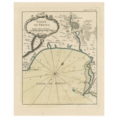
- Antique Map of the Region of Fréjus, FranceLocated in Langweer, NLTitle: "Golf de Fréjus" Description: This antique map, titled "Golf de Fréjus," is an original depiction of the region of Fréjus, France. It is part of the work "Le Petit Atlas Mari...Category
Antique Mid-18th Century Maps
MaterialsPaper
 $261 Sale Price30% Off
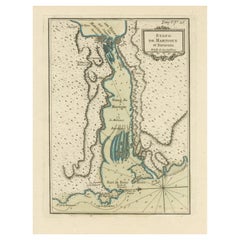
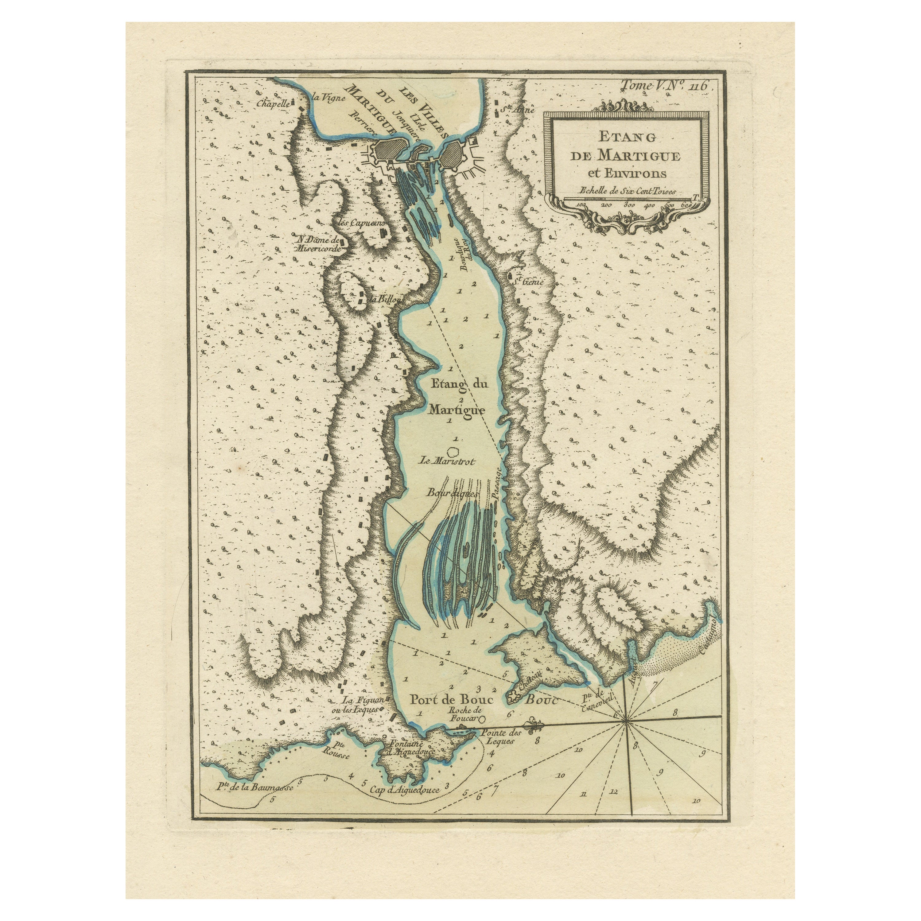
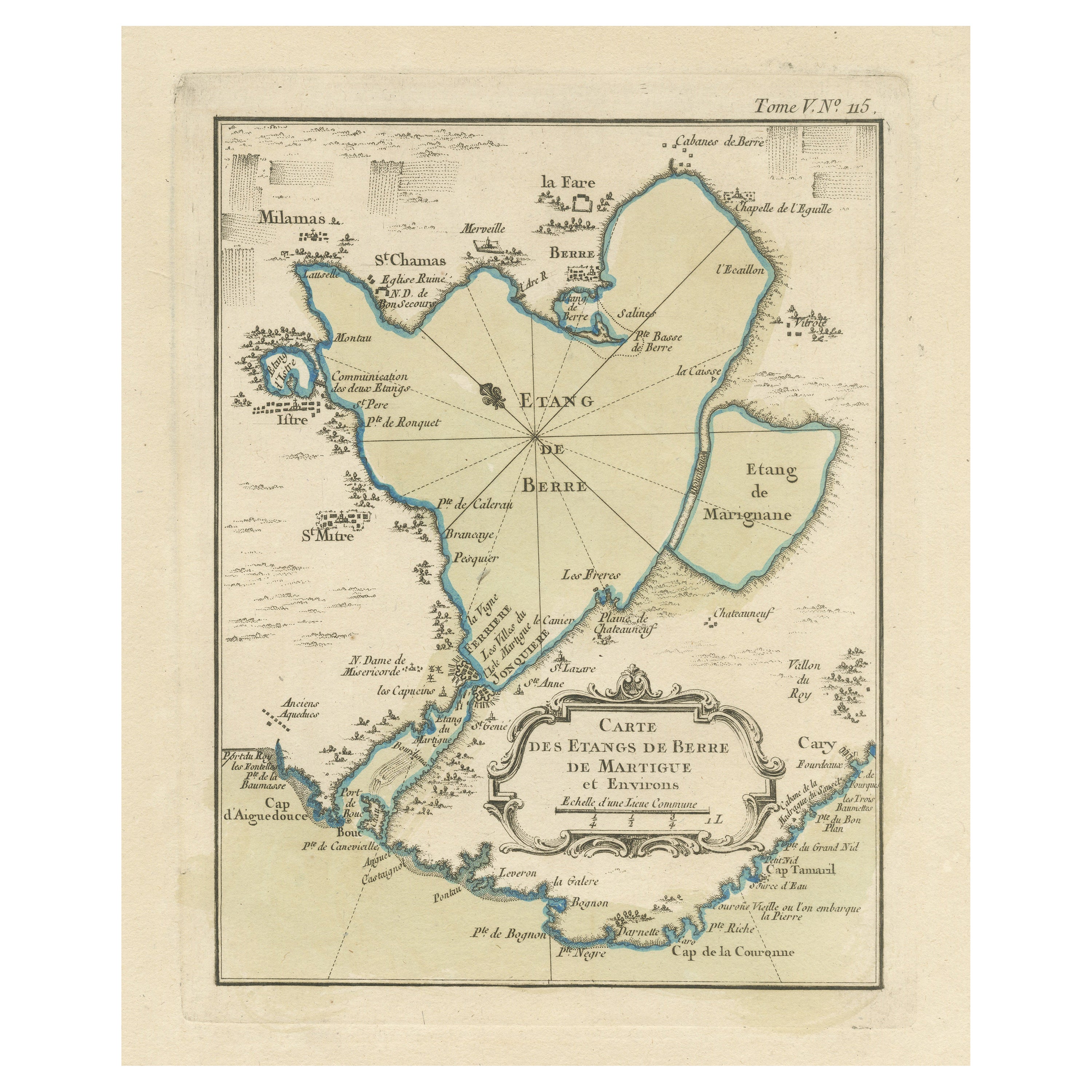
 - Antique Map of the Region of Martigues, FranceLocated in Langweer, NLTitle: "Etang de Martigues et Environs: Antique Map of the Martigues Region, France" Description: This antique map, titled "Etang de Martigue et Environs," offers a detailed view of...Category
Antique Mid-18th Century Maps
MaterialsPaper
- Antique Map of the Lorraine Region 'France' (c.1735)Located in Langweer, NLAntique map titled 'Carte du Duche de Lorraine - Kaart van Lotharingen'. A detailed map of the Duchy of Lorraine. The map is surrounded by thirteen vignette bird-eye view of fortifie...Category
Antique Mid-18th Century Maps
MaterialsPaper
 $192 Sale Price36% Off
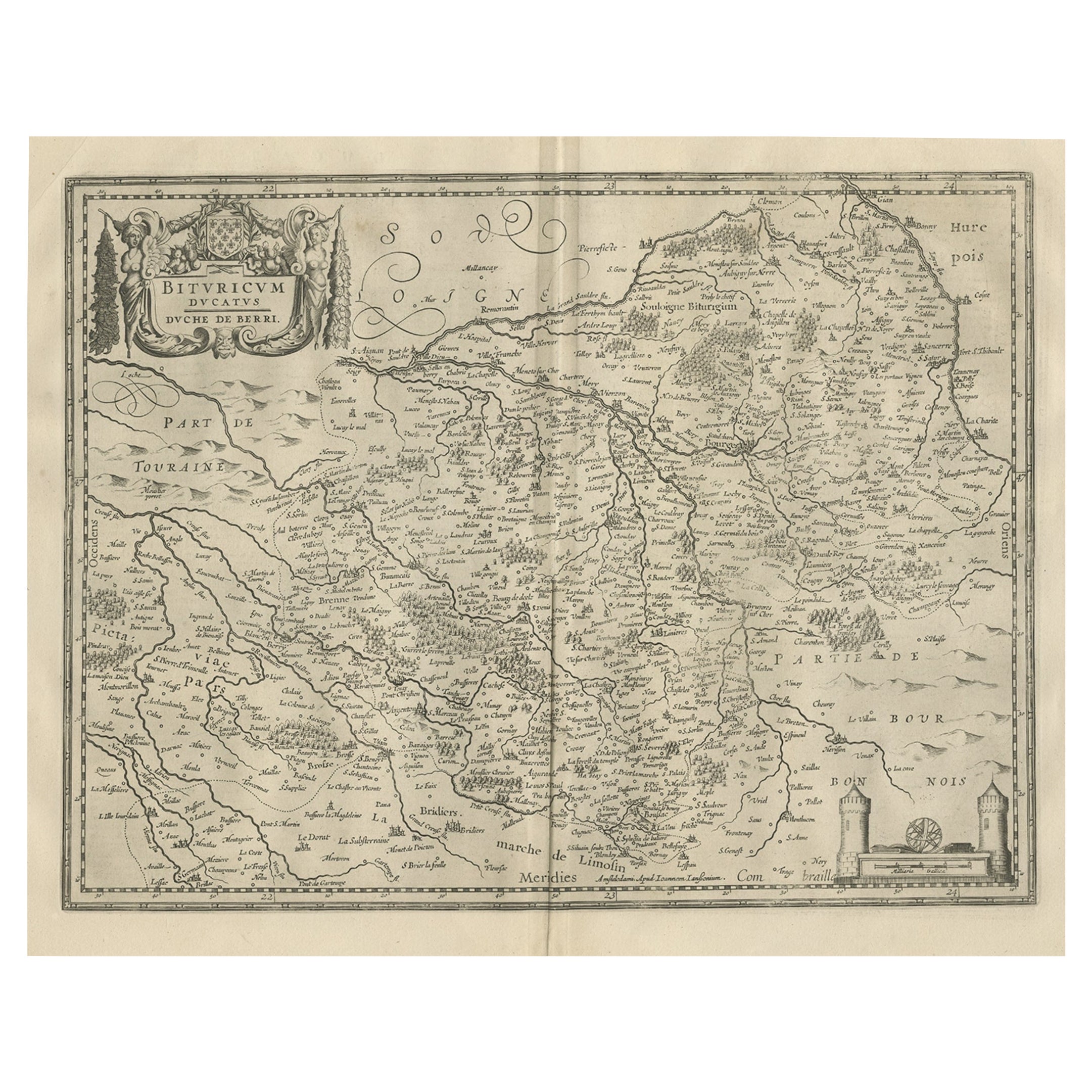
 - Decorative Antique Map of the Berry Region, France, 1657Located in Langweer, NLAntique map of France titled 'Bituricum Ducatus - Duche de Berri'. Decorative map of the Berry region, France. Berry is a region located in the center of France. It was a provinc...Category
Antique 1650s Maps
MaterialsPaper