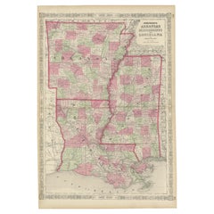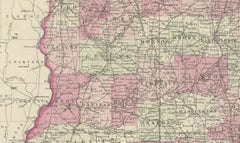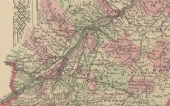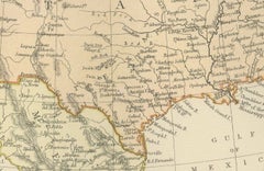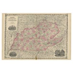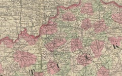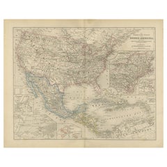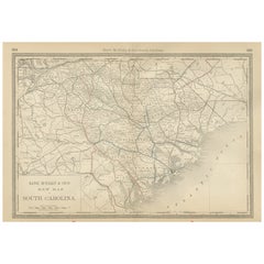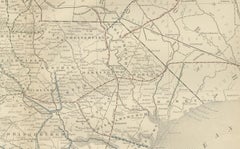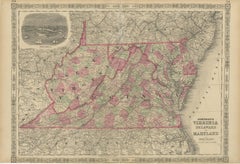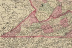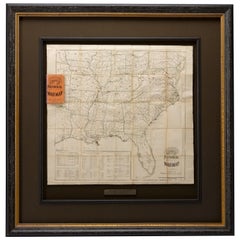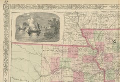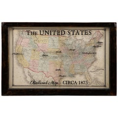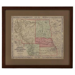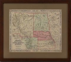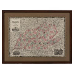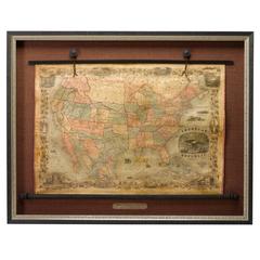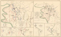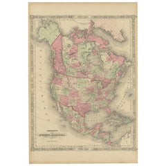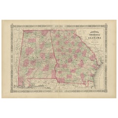
Historic 1864 Civil War Map of Georgia and Alabama with Coastal Focus
Located in Langweer, NL
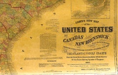
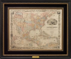
Title: Historic 1864 Civil War Map of Georgia and Alabama with Coastal Focus Description: This intricately detailed antique map, titled "Johnson's Georgia and Alabama," was publishe...
Category
1860s Antique Civil War Maps
Materials
Paper