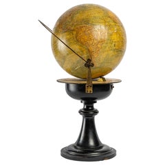
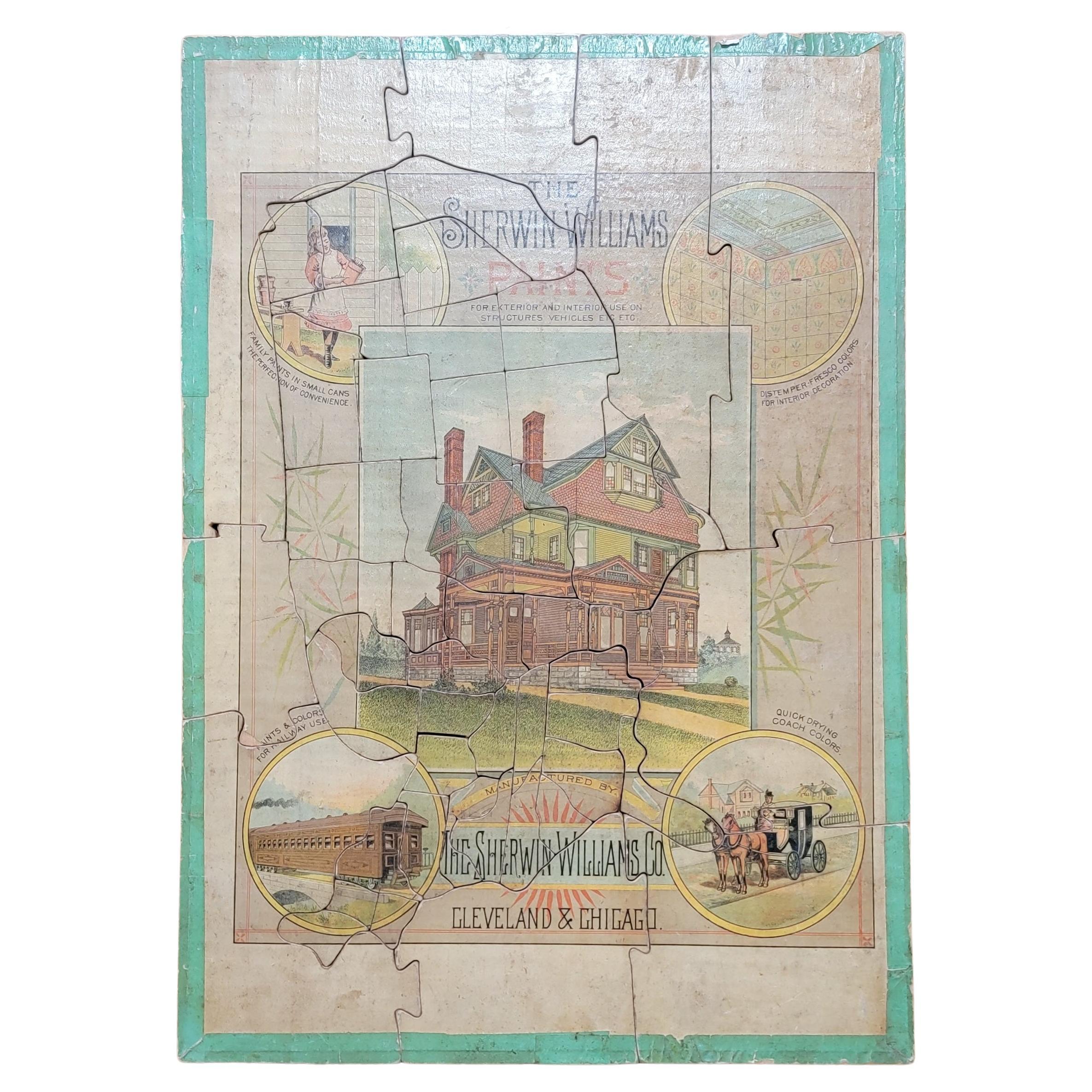
World Map of 19th Century
View Similar Items


Want more images or videos?
Request additional images or videos from the seller
1 of 7
World Map of 19th Century
About the Item
- Dimensions:Height: 17.72 in (45 cm)Diameter: 11.82 in (30 cm)
- Materials and Techniques:
- Place of Origin:
- Period:
- Date of Manufacture:19th Century
- Condition:Wear consistent with age and use.
- Seller Location:Saint-Ouen, FR
- Reference Number:1stDibs: LU1530224276462
About the Seller
4.8
Platinum Seller
These expertly vetted sellers are 1stDibs' most experienced sellers and are rated highest by our customers.
Established in 2003
1stDibs seller since 2015
280 sales on 1stDibs
Typical response time: 2 hours
More From This SellerView All
- Set of a Barometer and a Clock, 19th CenturyLocated in Saint-Ouen, FRSet of a barometer and a clock, 19th century Set of a barometer and a clock in carved wood, from the 19th century, Louis XVI style, Napoleon III period, great decoration. The mechanism of the clock is missing, but it is possible on request to put an old clock...Category
Antique 1870s European Louis XVI Wall Clocks
MaterialsWood
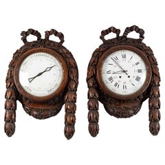 $4,930 / set
 - Game Box, 19th CenturyLocated in Saint-Ouen, FRGame box, 19th century. Napoleon III period game box, 19th century in precious wood marquetry. Measures: H: 5 cm, W: 22 cm, D: 13 cm.Category
Antique 19th Century French Napoleon III Decorative Boxes
MaterialsWood
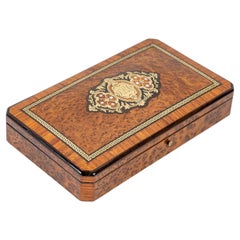 $1,424
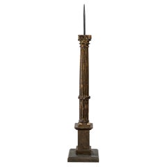
 - Carved and Gilded Wood Candle Stick, 19th CenturyLocated in Saint-Ouen, FRCarved and gilded wood candle stick, 19th century Measures: H: 68 cm, W: 18 cm, D: 18 cm.Category
Antique 19th Century European Candlesticks
MaterialsWood
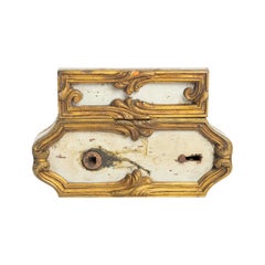
- Door Lock, Large Decoration, 19th Century, with KeyLocated in Saint-Ouen, FRDoor lock, large decoration, 19th century, with key Measures: H 17 cm, W 11 cm, P 3 cm.Category
Antique 1870s French Napoleon III Architectural Models
MaterialsMetal
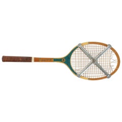
- Tennis Racket, Miss Go, Pro, Middle of the 20th Century.Located in Saint-Ouen, FRTennis racket, Miss Go, pro, mid-20th century. Measures: H 70cm, W 23cm, W 3cm.Category
Vintage 1960s French Mid-Century Modern Sports Equipment and Memorabilia
MaterialsWood
- Christ , 18th CenturyLocated in Saint-Ouen, FRChrist , 18th century. Crucifix, Christ, beautiful carved and gilded wood frame, 18th century. Dimensions: H: 61cm, W: 39cm, D: 7cm.Category
Antique 18th Century French Louis XVI Religious Items
MaterialsWood
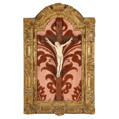 $2,519
You May Also Like
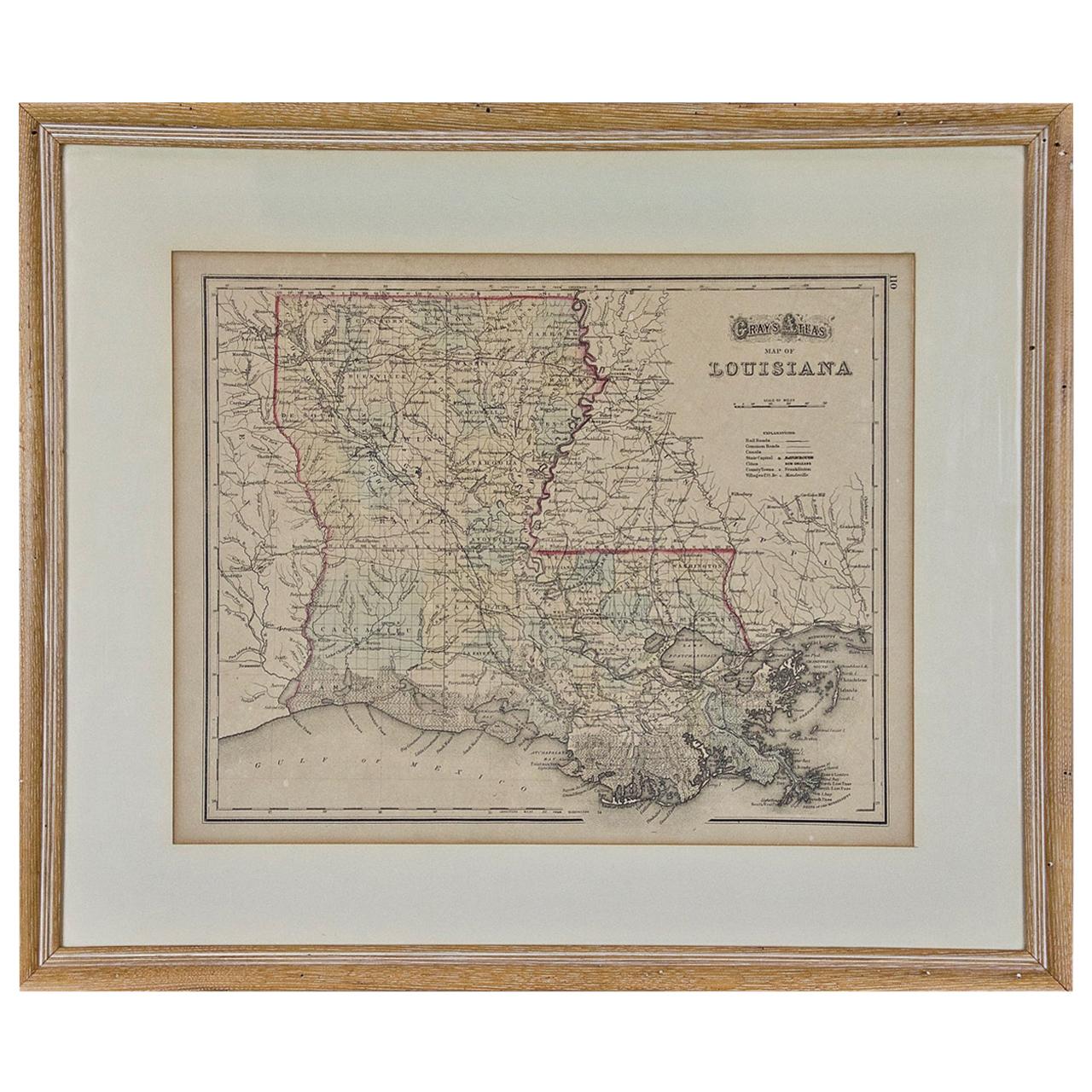
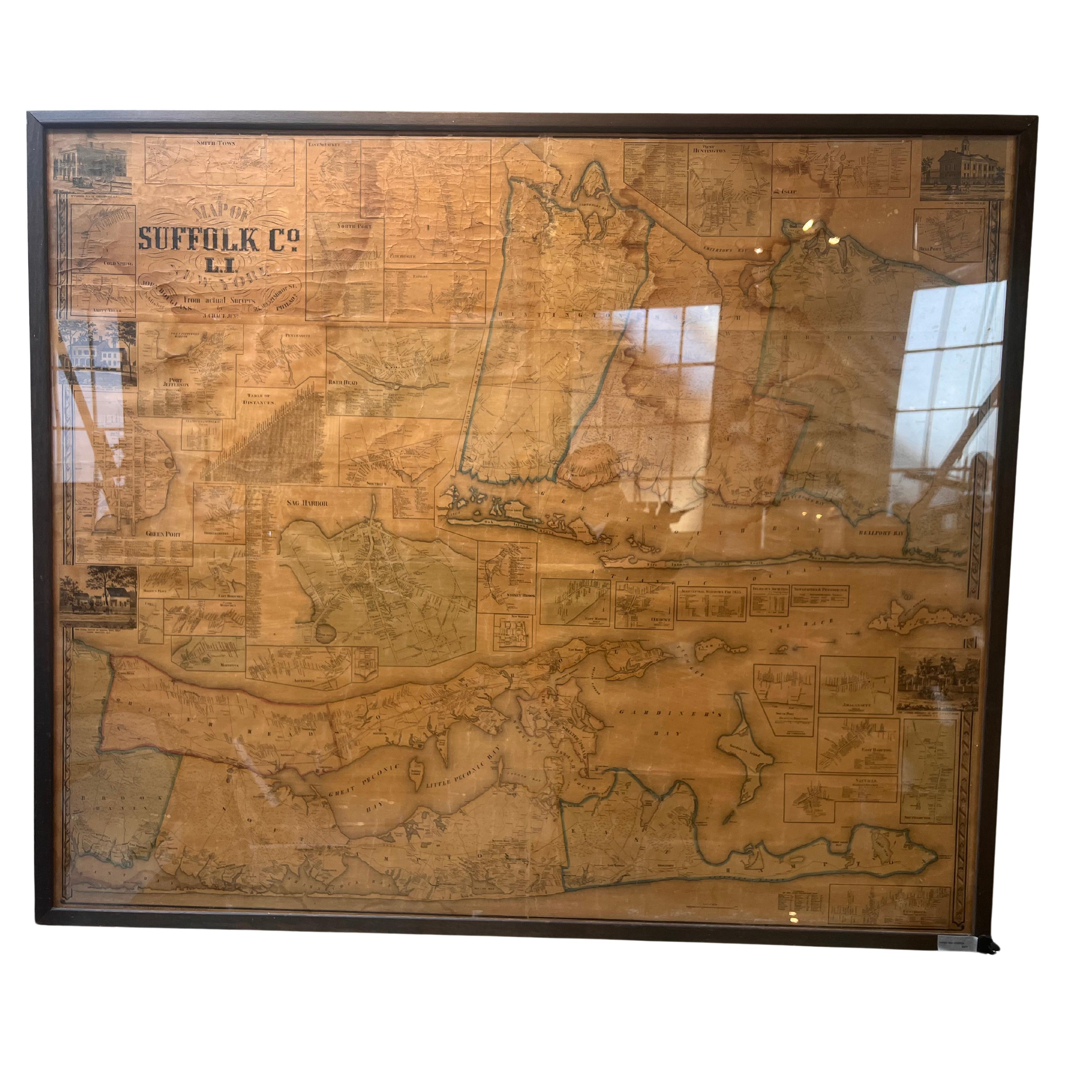
- Louisiana: A Framed 19th Century Map by O. W. GrayBy Gray and CoLocated in Alamo, CAThis framed 19th century map of the Louisiana territory was published in "Gray's Atlas of the United States with General Maps of the World, accompanied by Descriptions Geographical, Historical, Scientific and Statistica" published in 1873 in Philadelphia by O.W. Gray and Son and Stedman, Brown and Lyon. It is a highly detailed map of Louisiana...Category
Antique Mid-19th Century American Other Maps
MaterialsPaper
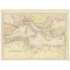
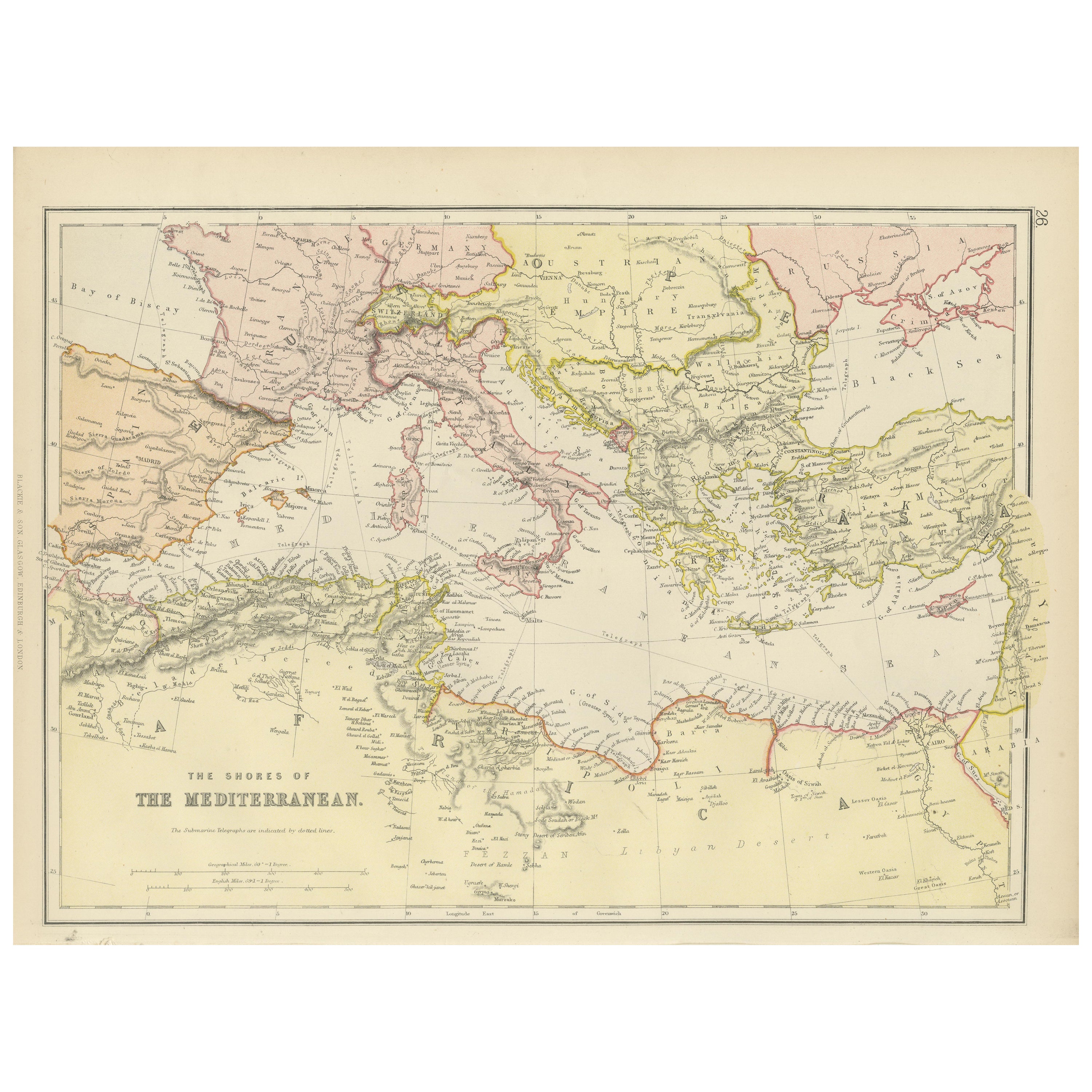
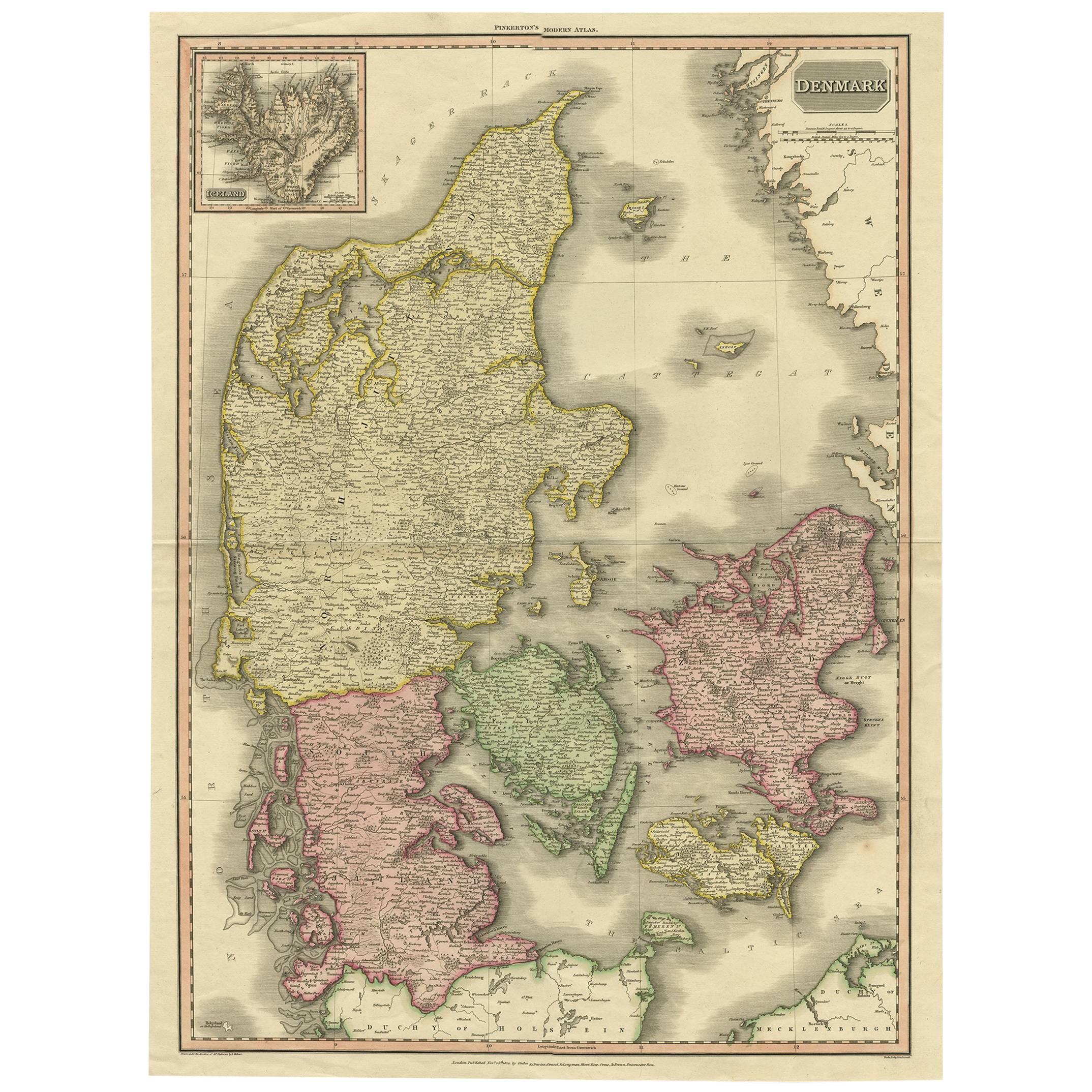
- Mediterranean Tapestry: A 19th Century Map of the Mediterranean Shores, 1882Located in Langweer, NLThis map, titled "The Shores of the Mediterranean," is part of the 1882 atlas by Blackie & Son, and it portrays the coastal regions that surround the Mediterranean Sea. It is a detailed representation of the diverse and historically rich countries that share the Mediterranean coastline, spanning from the Strait of Gibraltar in the west to the Levantine Sea in the east, and from the southern shores of Europe down to the northern coastlines of Africa. The map is a vivid document of the time, with each country along the Mediterranean basin meticulously outlined. The northern coast includes the southern parts of Europe, featuring Spain...Category
Antique 1880s Maps
MaterialsPaper
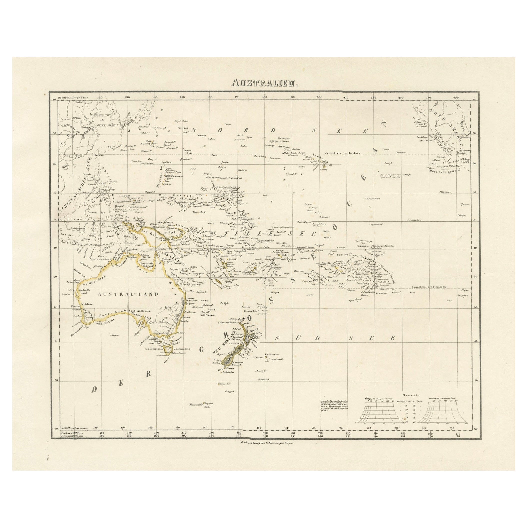
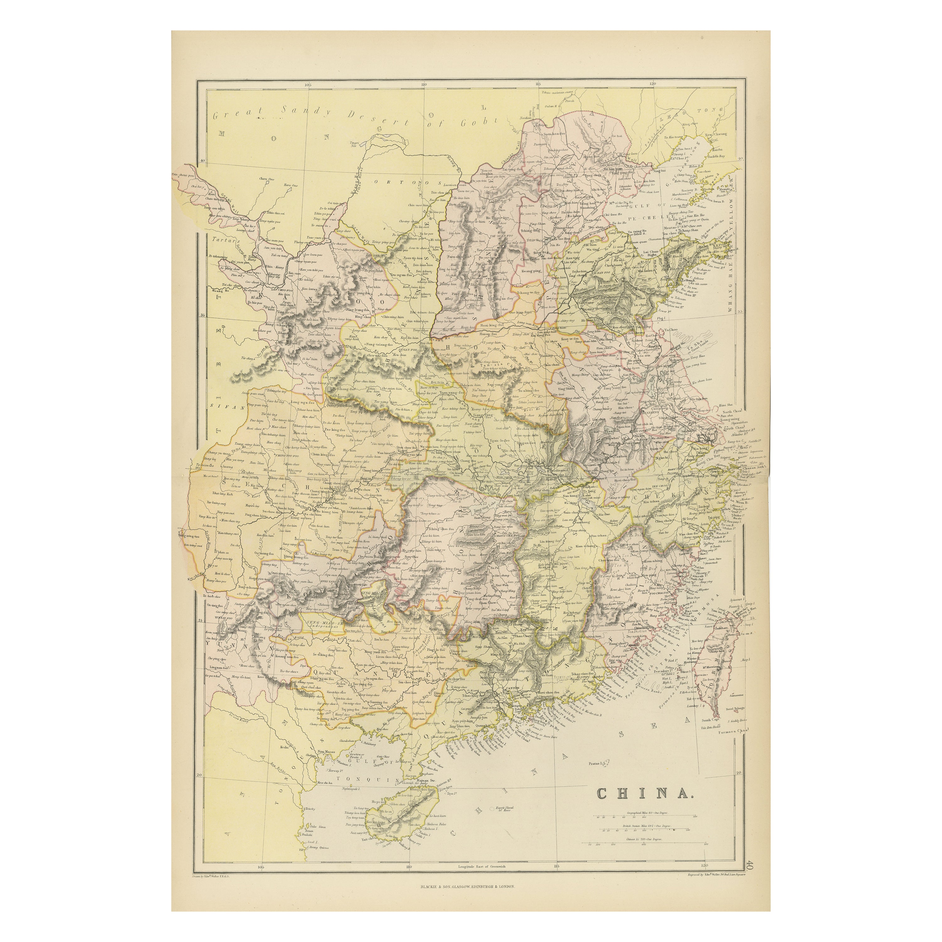
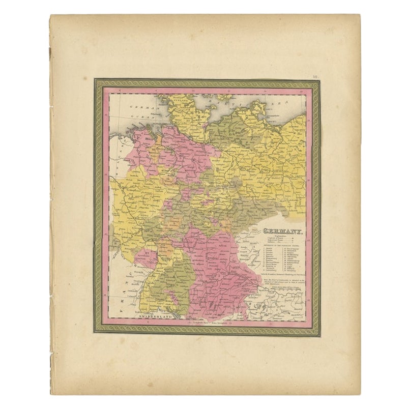
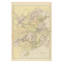
- Antique 19th Century Map of China by Blackie & Son, 1882Located in Langweer, NLThis map is an 1882 Blackie & Son map of China. The title "CHINA." is prominently displayed at the bottom. The map is colored to differentiate various regions, possibly indicating di...Category
Antique 1880s Maps
MaterialsPaper
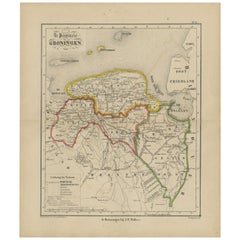
- Antique Map of Groningen from a 19th Century Dutch Atlas, 1864Located in Langweer, NLAntique map titled 'De Provincie Groningen'. Map of the province of Groningen, the Netherlands. This map originates from 'F. C. Brugsma's Atlas van het Koninkrijk der Nederlanden (.....Category
Antique 19th Century Maps
MaterialsPaper
- World Relief MapLocated in Antwerp, BELarge world relief map. Measures: Width 232 cm. Height 158 cm.Category
Mid-20th Century German Mid-Century Modern Maps
MaterialsAcrylic
 $1,972
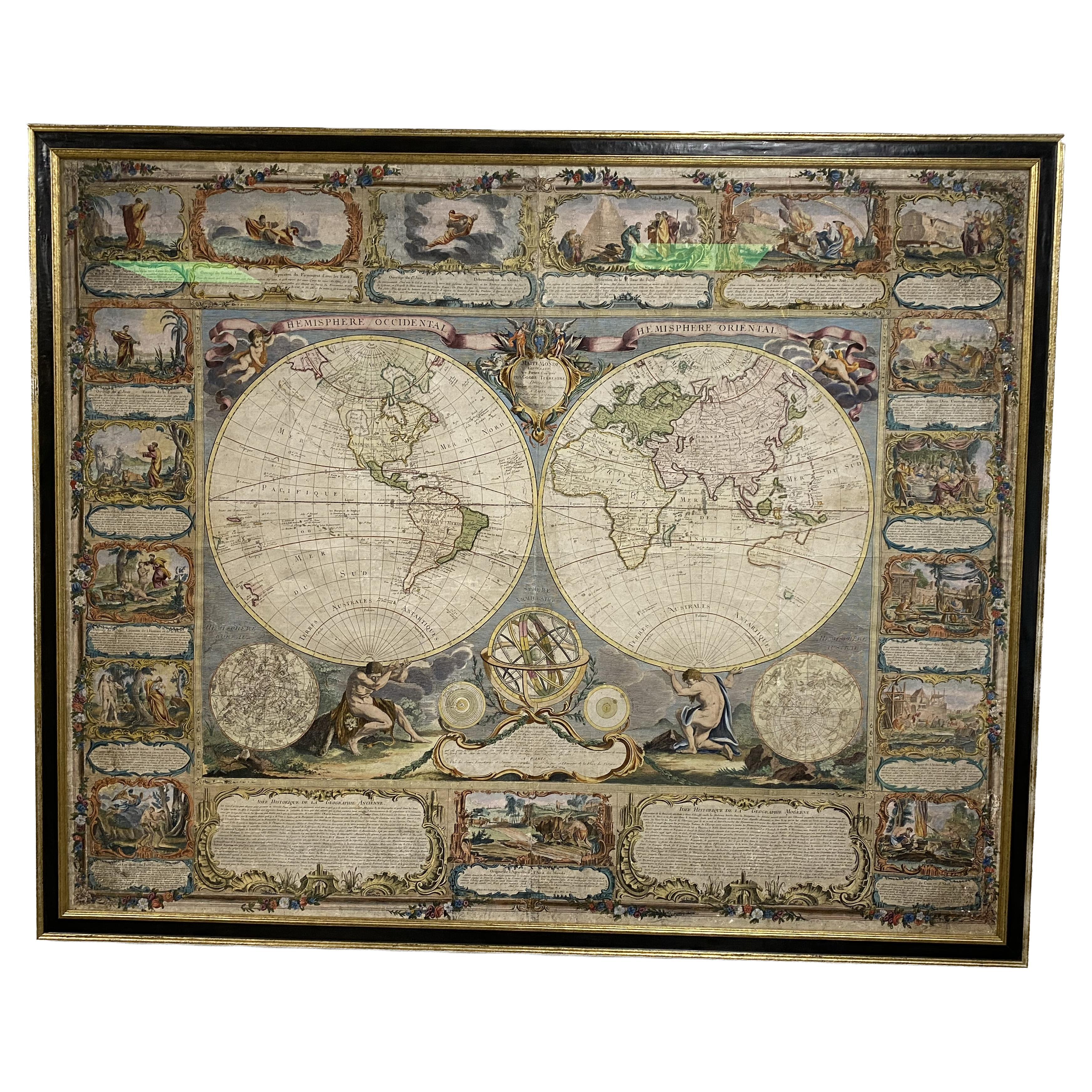
 - Colored wall map of the WORLDBy ChambonLocated in ZWIJNDRECHT, NL“Mappe Monde, contenant les Parties Connues du Globe Terrestre” CHAMBON, Gobert-Denis (France, 17.. - 1781) Paris, Longchamps et Janvier, 1754 Size H. 115 x W. 145 cm. Gobert-Denis Chambon made copper engraving after the work of Guillaume De L’Isle, published in 1754 by Jean Janvier and S.G. Longschamps. A huge wall map of the world in two hemispheres printed on two sheets, depicting the Eastern and Western hemispheres supported by two male figures, decorated at the bottom right and left with two celestial hemispheres (boreal and southern) and at the bottom in the middle with an armillary sphere, in addition. This map is most notable for its depiction of the Sea of Japan labeled "Mer de Corée" and of "Mer de L'Ouest" or Sea of the West - a great sea, easily the size of the Mediterranean, to flow from the then-known Strait of Juan de Fuca...Category
Antique Mid-18th Century French French Provincial Maps
MaterialsWood, Paper