Items Similar to Antique Map of the Course of the Amazon River by E. Van Harrevelt, 1773

Want more images or videos?
Request additional images or videos from the seller
1 of 6
Antique Map of the Course of the Amazon River by E. Van Harrevelt, 1773
About the Item
Detailed regional map, showing the course of the Amazon River from the Andes to the Atlantic. This map originates from 'Atlas portatif pour servir à l'intelligence de l'histoire philosophique et politique des établissements et du commerce des Européens dans les Deux Indes (..)'. Amsterdam, E. van Harrevelt, D.J. Changuion, 1773.
- Dimensions:Height: 10.32 in (26.2 cm)Width: 15.28 in (38.8 cm)Depth: 0.02 in (0.5 mm)
- Materials and Techniques:
- Period:
- Date of Manufacture:1773
- Condition:Please study image carefully.
- Seller Location:Langweer, NL
- Reference Number:
About the Seller
5.0
Platinum Seller
These expertly vetted sellers are 1stDibs' most experienced sellers and are rated highest by our customers.
Established in 2009
1stDibs seller since 2017
1,938 sales on 1stDibs
Typical response time: <1 hour
- ShippingRetrieving quote...Ships From: Langweer, Netherlands
- Return PolicyA return for this item may be initiated within 14 days of delivery.
More From This SellerView All
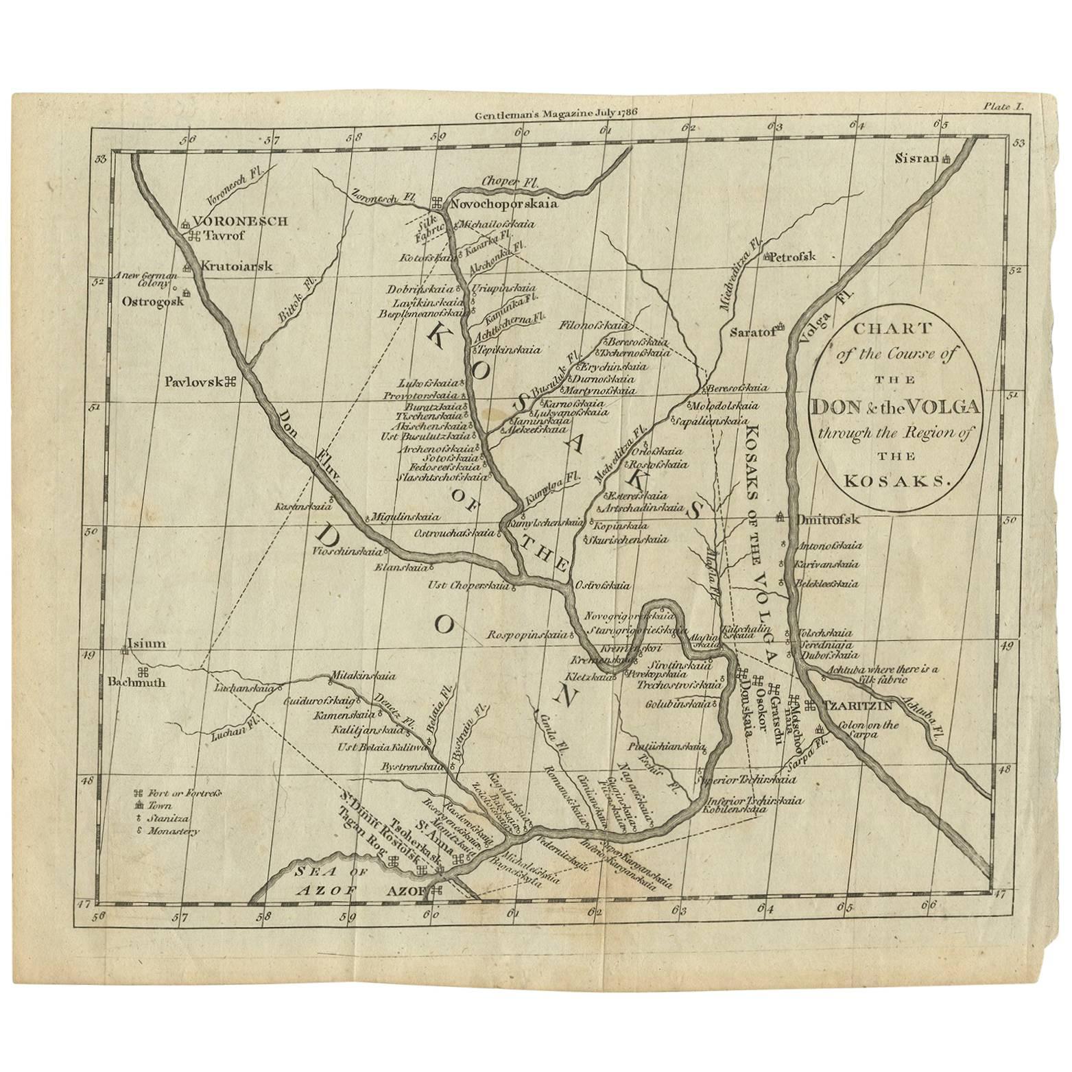
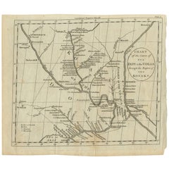
- Antique Map of the course of the Don & Voga riversLocated in Langweer, NLAntique map titled 'Chart of the Course of The Don & the Volga through the Region of The Kosaks'. SW Russia & Ukraine: interesting map showing the course of the Don & Voga rivers thr...Category
Antique Late 18th Century Maps
MaterialsPaper
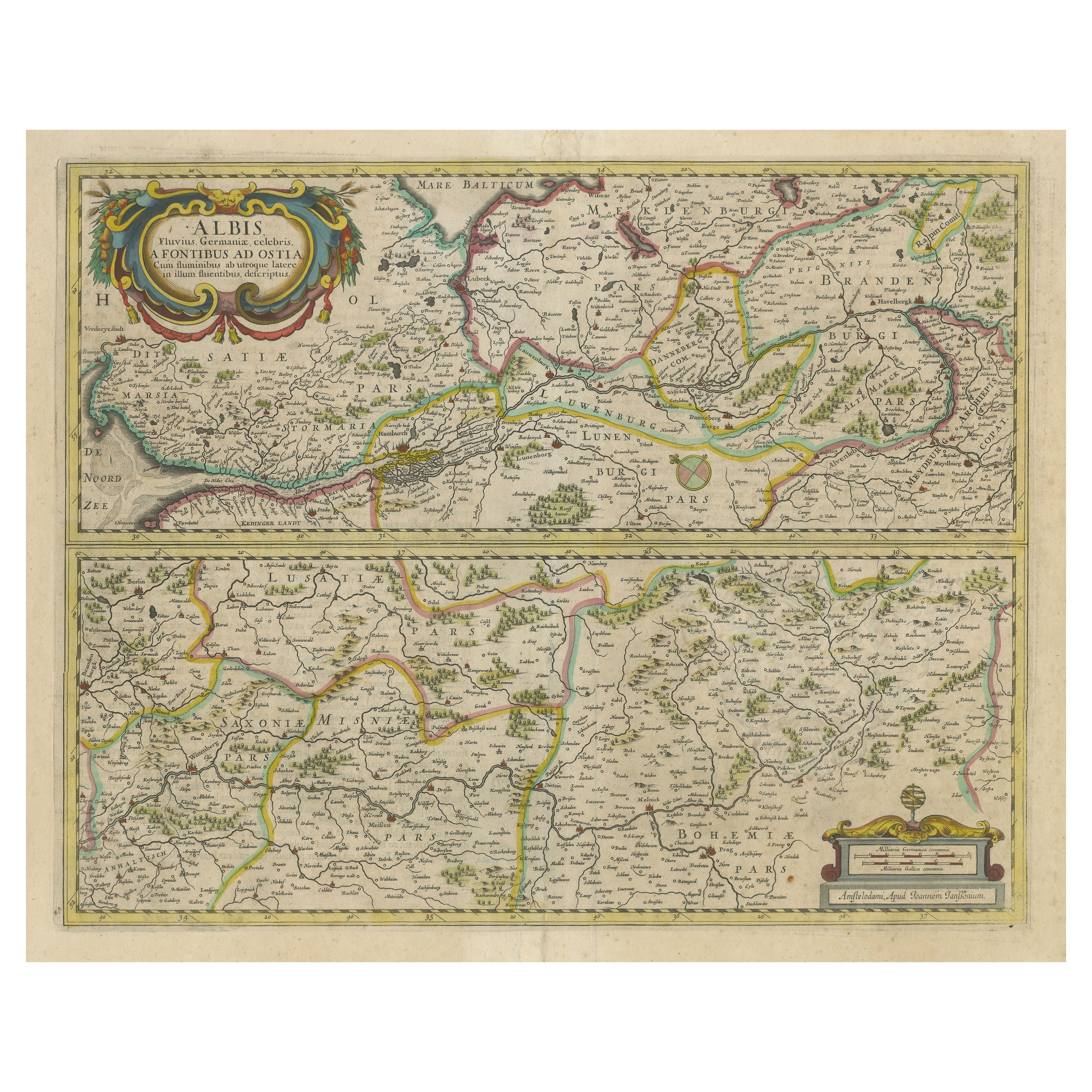
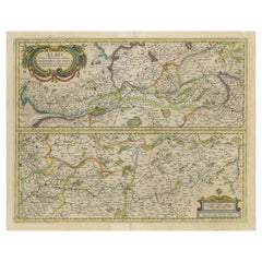
- Antique Map of the of the Course of the Albis River 'or Elbe River'By Johannes JanssoniusLocated in Langweer, NLAntique map titled 'Albis Fluvius Germaniae celebris A Fontiubus Ad Ostia, Cum Fluminibus ab utroque latere in illum fluenibus descriptus'. Detailed map of the course of the Albis Ri...Category
Antique Mid-17th Century Maps
MaterialsPaper
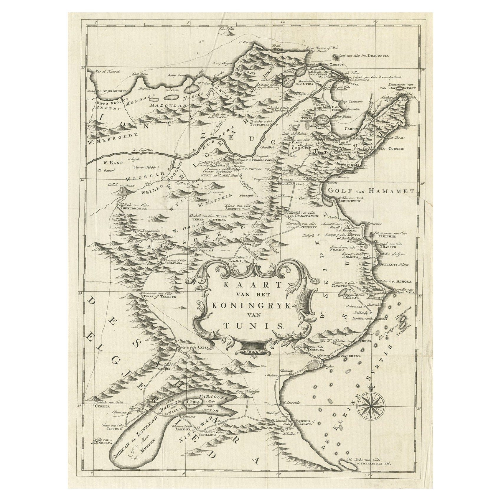
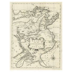
- Antique Map of the Kingdom of Tunisia, Africa, 1773Located in Langweer, NLAntique map titled 'Kaart van het Koningryk van Tunis'. Old map of the Kingdom of Tunisia. Originates from the first Dutch editon of an interesting travel account of Northern Africa ...Category
Antique 18th Century Maps
MaterialsPaper
- Antique Map of the Gambia River by J. Van Schley, circa 1750Located in Langweer, NL"Carte de la Riviere de Gambra ou Gambie. Depuis son Embouchure Jusqu a Eropina". Orig. copper-engraving after Capt. J. Leach's map of the region from 1732. With ornamental title cartouche and Dutch...Category
Antique Mid-18th Century Maps
MaterialsPaper
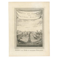
- Antique Map of the Tunquin River and Bay by Van Schley 'c.1750'Located in Langweer, NLAntique map titled ‘Kaart van den Loop der Rivier van Tonkin van Cacho tot aan de Zee / Carte du Cours de la Riviere de Tunquin Depuis Cacho jusqu'à la Mer J. v. Schley direx.’ Detai...Category
Antique Mid-18th Century Prints
MaterialsPaper
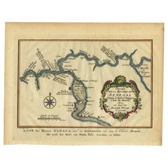
- Antique Map of the Course of the Sanaga River by Van Schley, 1747Located in Langweer, NLAntique map titled 'Cours de la Riviere de Senegal (..) - Loop der Riviere Sanaga (..)'. Original antique map of the course of the Sanaga River that forms the border between Senegal ...Category
Antique 18th Century Maps
MaterialsPaper

You May Also Like
- Original Antique Map of The World by Thomas Clerk, 1817Located in St Annes, LancashireGreat map of The Eastern and Western Hemispheres On 2 sheets Copper-plate engraving Drawn and engraved by Thomas Clerk, Edinburgh. Published by Mackenzie And Dent, 1817 ...Category
Antique 1810s English Maps
MaterialsPaper
- Original Antique Map of The Netherlands, Engraved by Barlow, Dated 1807Located in St Annes, LancashireGreat map of Netherlands Copper-plate engraving by Barlow Published by Brightly & Kinnersly, Bungay, Suffolk. Dated 1807 Unframed.Category
Antique Early 1800s English Maps
MaterialsPaper
- Map of the Republic of GenoaLocated in New York, NYFramed antique hand-coloured map of the Republic of Genoa including the duchies of Mantua, Modena, and Parma. Europe, late 18th century. Dimension: 25...Category
Antique Late 18th Century European Maps
- Antique Map of Italy by Andriveau-Goujon, 1843By Andriveau-GoujonLocated in New York, NYAntique Map of Italy by Andriveau-Goujon, 1843. Map of Italy in two parts by Andriveau-Goujon for the Library of Prince Carini at Palazzo Carini i...Category
Antique 1840s French Maps
MaterialsLinen, Paper
- Antique Map of Principality of MonacoBy Antonio Vallardi EditoreLocated in Alessandria, PiemonteST/619 - "Old Geographical Atlas of Italy - Topographic map of ex-Principality of Monaco" - ediz Vallardi - Milano - A somewhat special edition ---Category
Antique Late 19th Century Italian Other Prints
MaterialsPaper
- Original Antique Map of Russia By Arrowsmith. 1820Located in St Annes, LancashireGreat map of Russia Drawn under the direction of Arrowsmith Copper-plate engraving Published by Longman, Hurst, Rees, Orme and Brown, 1820 Unframed.Category
Antique 1820s English Maps
MaterialsPaper


Recently Viewed
View AllMore Ways To Browse
Map Amazon
George Fleet
Antique Railroad Maps
Map Of New Zealand
Antique Map Art Collectibles
Antique Maps Art Collectibles
James Cook Map
Nautical Charts
Old Antique Compass
Map New Holland
World Map Antique Style
World Maps Antique Style
Antique Style Map Of The World
Maritime Map
Map Sweden
Vienna Map
Map Of Vienna
Map Monde Antique