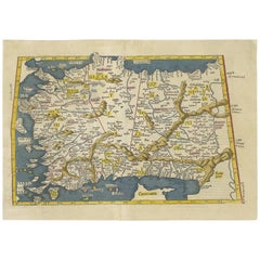
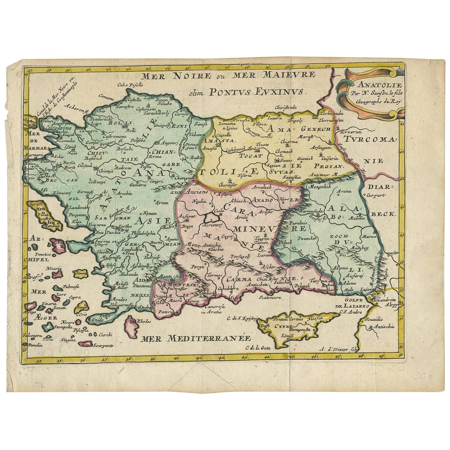
Antique Map of Turkey by C. Ptolomey, circa 1541
View Similar Items


Want more images or videos?
Request additional images or videos from the seller
1 of 9
Antique Map of Turkey by C. Ptolomey, circa 1541
About the Item
- Dimensions:Height: 13.9 in (35.3 cm)Width: 19.61 in (49.8 cm)Depth: 0.02 in (0.5 mm)
- Materials and Techniques:
- Period:
- Date of Manufacture:circa 1541
- Condition:Repaired: Occ. restored on verso. Vertical fold in the middle (as publ.). Occ. restored on verso, but nevertheless an attractive (early) map of Turkey. Please study image carefully.
- Seller Location:Langweer, NL
- Reference Number:Seller: BG-068001stDibs: LU305439797991
About the Seller
5.0
Platinum Seller
These expertly vetted sellers are 1stDibs' most experienced sellers and are rated highest by our customers.
Established in 2009
1stDibs seller since 2017
1,932 sales on 1stDibs
More From This SellerView All
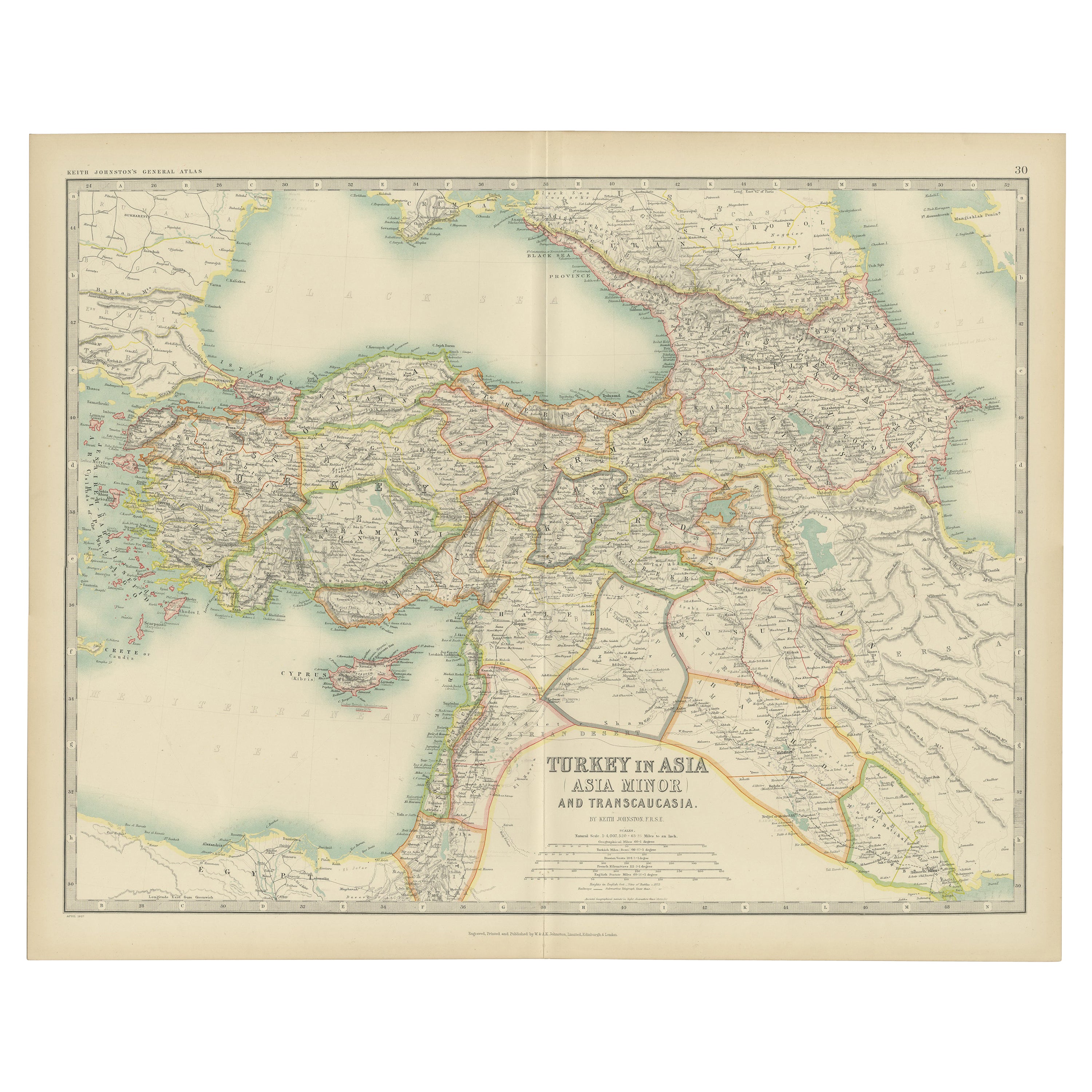
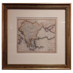
- Antique Map of Turkey in Asia by J. Tallis, circa 1851Located in Langweer, NLA highly decorative and finely engraved mid-19th century map of 'Turkey in Asia' (Middle Eastern part of the Ottoman Empire) which was engraved by J. Rapkin (vignettes by H. Warren &...Category
Antique Mid-19th Century Maps
MaterialsPaper
 $241 Sale Price20% Off
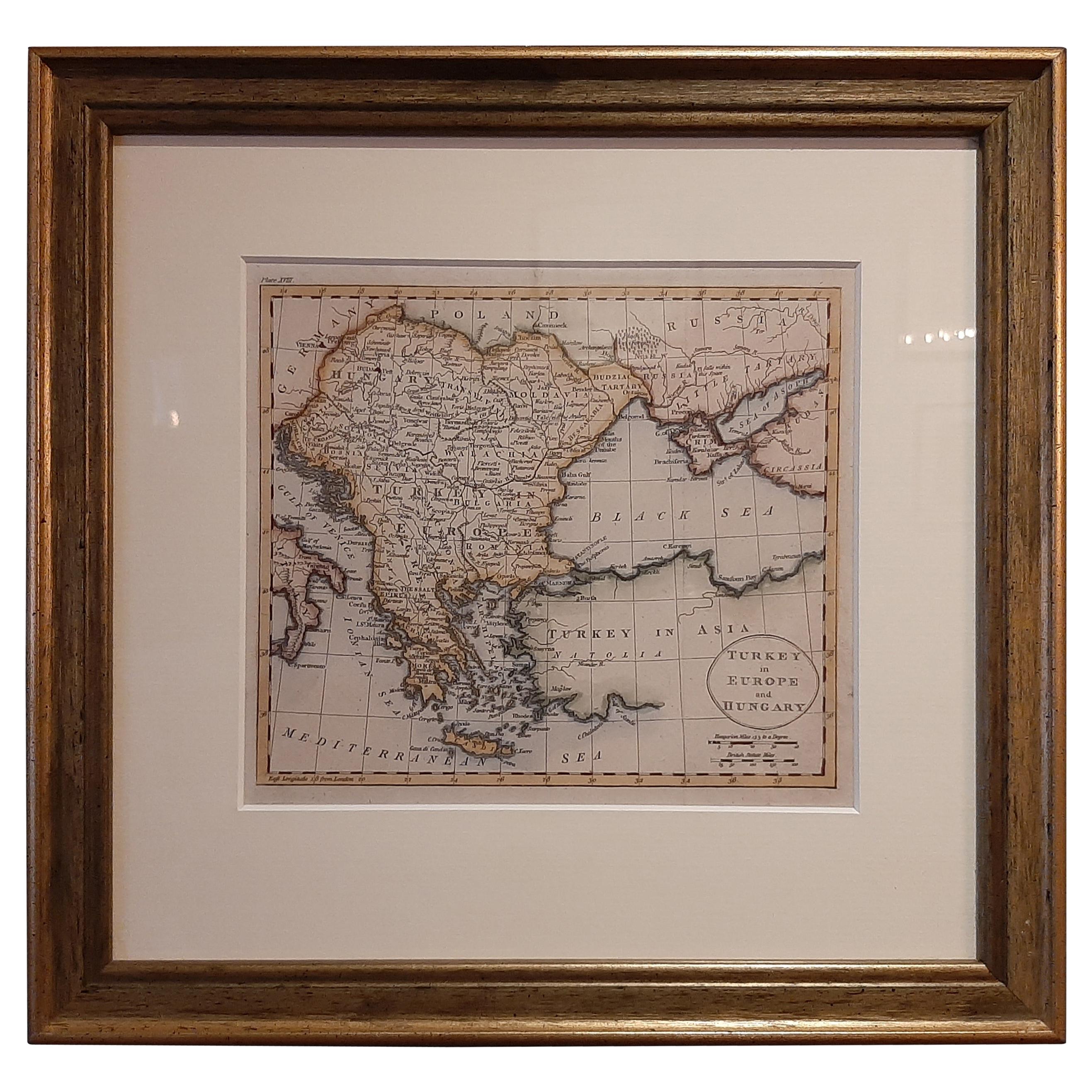
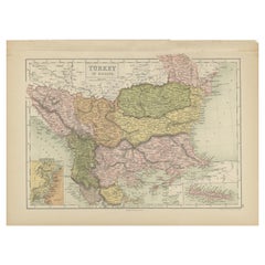
 - Antique Map of Turkey in Europe by Russell, circa 1795Located in Langweer, NLAntique map titled 'Turkey in Europe and Hungary'. Original map of Turkey in Europe. Covers present day Northern Turkey, Greece, Albania, Romania, Hungary, Croatia, Bosnia Herzogovin...Category
Antique Late 18th Century Maps
MaterialsPaper
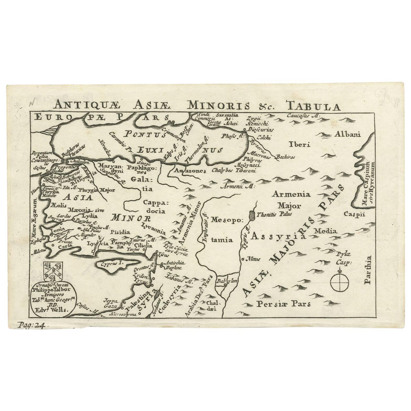
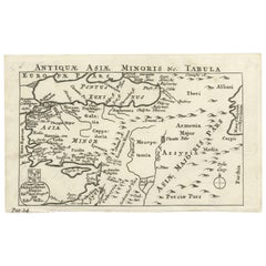
- Nice Antique Map of Asia Minor, Turkey, circa 1718Located in Langweer, NLAntique map titled 'Antiquae Asiae Minoris & C. Tabula' by Philippo Talbor. This rare antique map is published by Edward Wells, circa 1718.Category
Antique Early 18th Century Maps
MaterialsPaper
- Antique Map of Turkey in Asia by A & C. Black, 1870Located in Langweer, NLAntique map titled 'Turkey in Asia'. Original antique map of Turkey in Asia with inset Ruins of Babylon. This map originates from ‘Black's General Atlas of The World’. Published by A...Category
Antique Late 19th Century Maps
MaterialsPaper
 $134 Sale Price30% Off
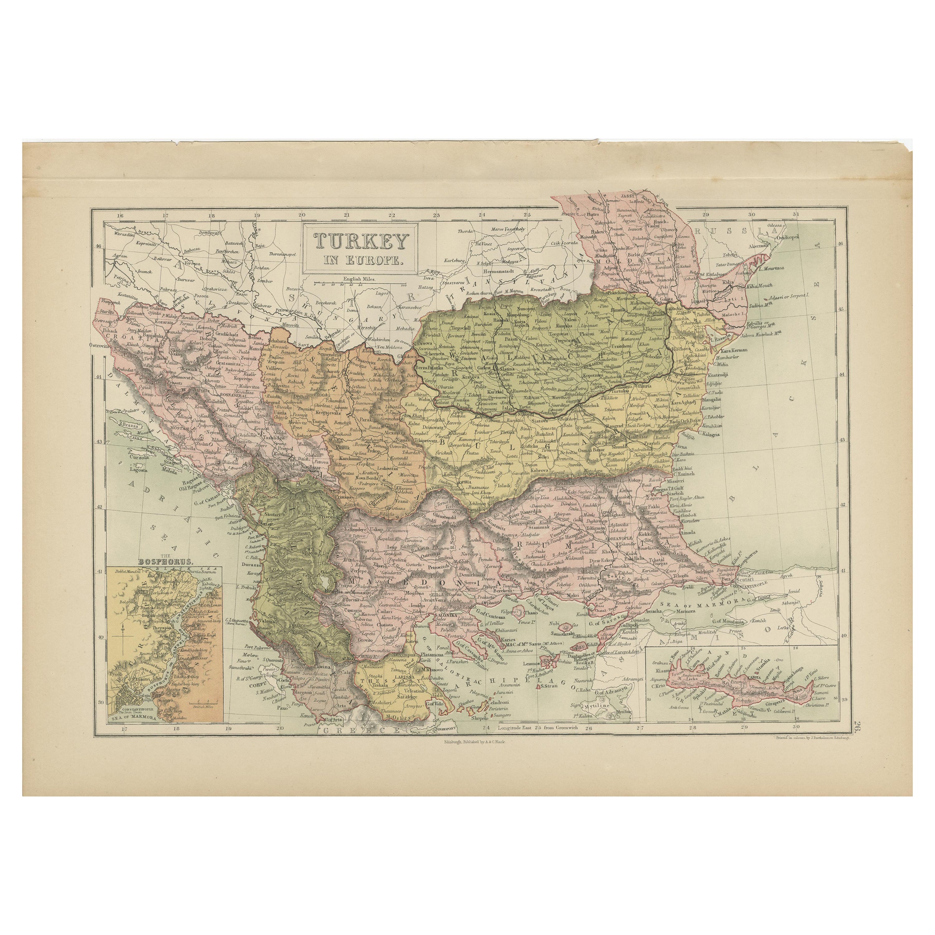
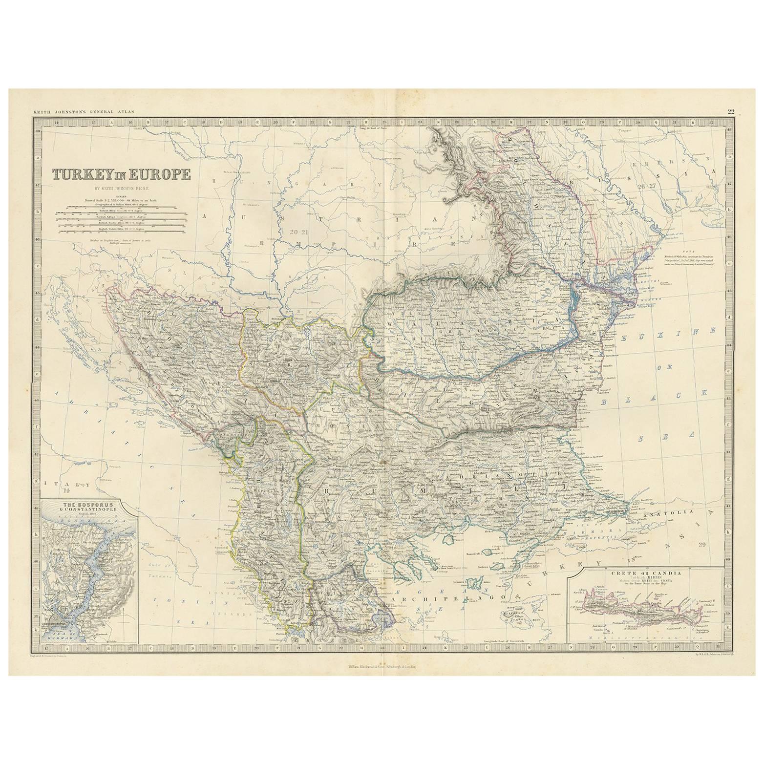
 - Antique Map of Turkey in Europe by A & C. Black, 1870Located in Langweer, NLAntique map titled 'Turkey in Europe'. Original antique map of Turkey in Europe with inset maps of the Bosporus and Crete or Candia. This map originates from ‘Black's General Atlas o...Category
Antique Late 19th Century Maps
MaterialsPaper
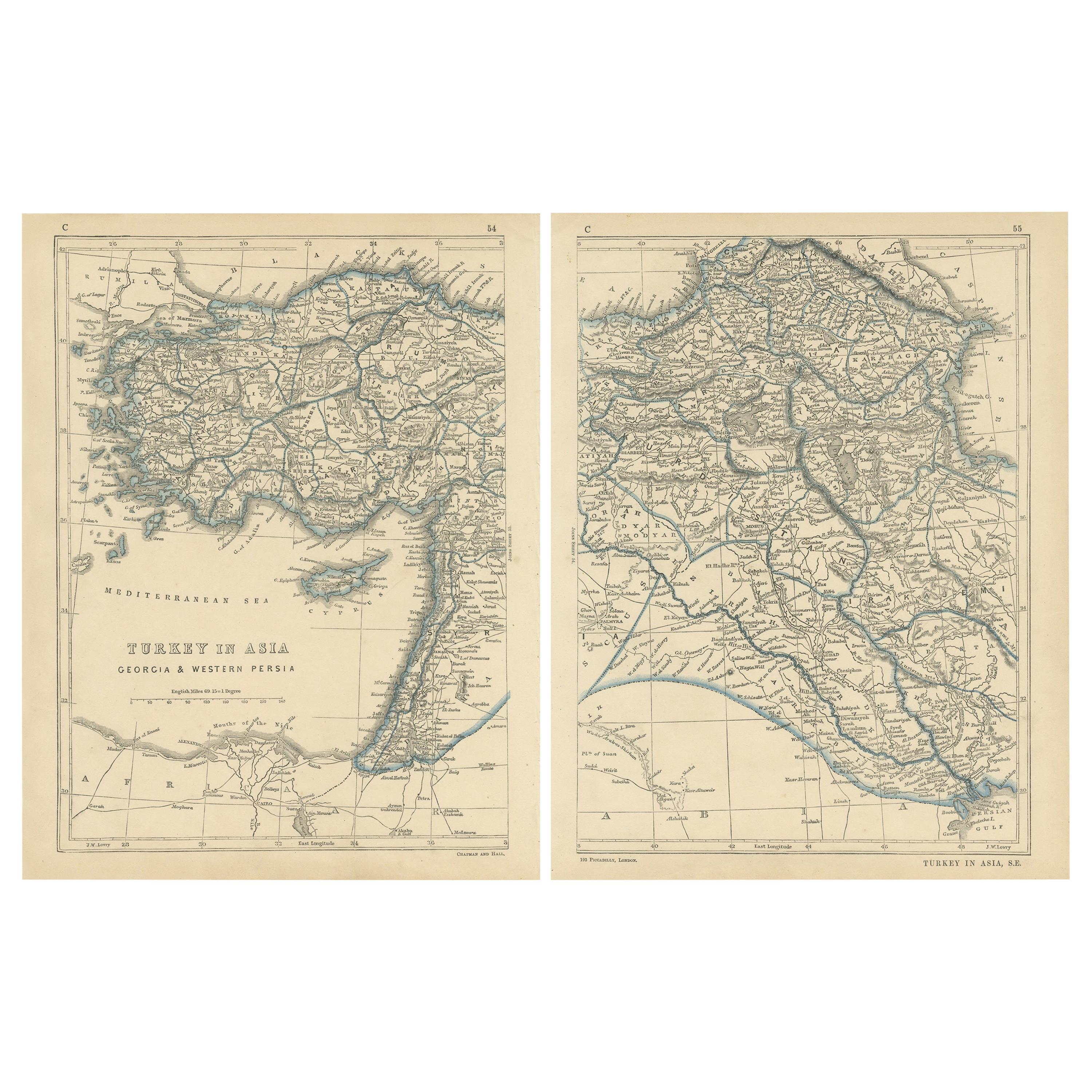
- Antique Map of Turkey in Asia by Lowry '1852'Located in Langweer, NLAntique map titled 'Turkey in Asia, Georgia & Western Persia'. Two individual sheets of Turkey in Asia. This map originates from 'Lowry's Table Atlas constructed and engraved from th...Category
Antique Mid-19th Century Maps
MaterialsPaper
 $131 Sale Price / set20% Off
You May Also Like
- Original Antique Map of Belgium by Tallis, Circa 1850Located in St Annes, LancashireGreat map of Belgium Steel engraving Many lovely vignettes Published by London Printing & Publishing Co. ( Formerly Tallis ), C.1850 Origin...Category
Antique 1850s English Maps
MaterialsPaper
- Original Antique Map of South America, circa 1830Located in St Annes, LancashireGreat map of South America Copper plate engraving Published by Butterworth, Livesey & Co., circa 1830 Unframed.Category
Antique Early 1800s English Other Maps
MaterialsPaper

- Original Antique Map / City Plan of Brussels by Tallis, circa 1850Located in St Annes, LancashireGreat map of Brussels. Steel engraving. Published by London Printing & Publishing Co. (Formerly Tallis), C.1850 Free shipping.Category
Antique 1850s English Maps
MaterialsPaper
- Original Antique Map of South East Asia by Becker, circa 1840Located in St Annes, LancashireGreat map of South East Asia Steel engraving with original color outline Engraved by Becker Published by Virtue, circa 1840. Unframed.Category
Antique 1840s English Other Maps
MaterialsPaper
- Original Antique Map of Spain and Portugal, circa 1790Located in St Annes, LancashireSuper map of Spain and Portugal Copper plate engraving by A. Bell Published, circa 1790. Unframed.Category
Antique 1790s English Other Maps
MaterialsPaper
- Antique Map of Italy by Andriveau-Goujon, 1843By Andriveau-GoujonLocated in New York, NYAntique Map of Italy by Andriveau-Goujon, 1843. Map of Italy in two parts by Andriveau-Goujon for the Library of Prince Carini at Palazzo Carini i...Category
Antique 1840s French Maps
MaterialsLinen, Paper
 $3,350 / set


Recently Viewed
View AllMore Ways To Browse
Antique Turkish Map
Antique Map Of Turkey
Ptolemy Map
George Fleet
Antique Railroad Maps
Map Of New Zealand
Antique Map Art Collectibles
Antique Maps Art Collectibles
James Cook Map
Old Antique Compass
Nautical Charts
Map New Holland
World Map Antique Style
World Maps Antique Style
Antique Style Map Of The World
Maritime Map
Map Sweden
Vienna Map