Items Similar to Europa Regnorum Provinciarum: 18th Century Hand-colored Map of Europe by Lotter


Want more images or videos?
Request additional images or videos from the seller
1 of 9
Tobias Conrad LotterEuropa Regnorum Provinciarum: 18th Century Hand-colored Map of Europe by Lotter1760
1760
$875
£660.34
€755.99
CA$1,234.04
A$1,354.82
CHF 706.81
MX$16,395.23
NOK 8,858.81
SEK 8,347.33
DKK 5,643.25
About the Item
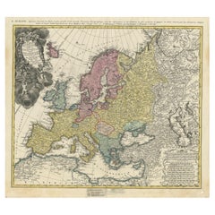
This is an 18th century hand-colored copperplate engraved map entitled "Europa Regnorum Provinciarum Regionum" created by the German cartographer Tobias Conrad Lotter. It was published in Augsburg, Germany in 1760. There is an ornate title cartouche in the upper left corner, a list of major highlight with coordinates in the lower right corner and a distance scale in the lower left corner. The map extends from Iceland, Scandinavia and Russia in the north to North Africa in the south.
This beautiful engraved hand-colored map of Europe is printed on a sheet that measures 20.88" high and 24" wide, with good margins all around. There is a central vertical fold, as issued. There is mild spotting, more prominently in the margins than in the map, and creases the lower corners, with a small area of loss at the lower edge of the right lower corner. There is a short separation of the lower center fold, which has been professionally reinforced on the verso. This striking map is otherwise in very good condition, particularly for its age.
Tobias Conrad Lotter (1717-1777) was a German engraver, publisher, and cartographer who lived and worked in Augsburg, a city in southern Germany. He was born into a family of engravers and learned his craft from his father and grandfather, both of whom were renowned artists. Lotter began his career as an engraver and later became a publisher of maps, atlases, and other printed materials. He was known for his exceptional skill in engraving and for the high quality of his maps, which were praised for their accuracy and attention to detail. In addition to his work as a cartographer, Lotter was also active in politics and served as a member of the city council in Augsburg. He was a respected member of the community and was known for his dedication to his work and his commitment to public service. Today, Lotter is remembered as one of the most important cartographers of the 18th century, and his maps are highly sought after by collectors and historians. His work has been praised for its beauty, accuracy, and historical significance, and he is considered to be one of the most important figures in the history of mapmaking.
- Creator:Tobias Conrad Lotter (1717 - 1777, German)
- Creation Year:1760
- Dimensions:Height: 20.88 in (53.04 cm)Width: 24 in (60.96 cm)
- Medium:
- Period:
- Framing:Framing Options Available
- Condition:
- Gallery Location:Alamo, CA
- Reference Number:Seller: # 39991stDibs: LU1173211789342
About the Seller
5.0
Gold Seller
Premium sellers maintaining a 4.3+ rating and 24-hour response times
Established in 2011
1stDibs seller since 2019
291 sales on 1stDibs
Typical response time: 1 hour
- ShippingRetrieving quote...Shipping from: Alamo, CA
- Return Policy
Authenticity Guarantee
In the unlikely event there’s an issue with an item’s authenticity, contact us within 1 year for a full refund. DetailsMoney-Back Guarantee
If your item is not as described, is damaged in transit, or does not arrive, contact us within 7 days for a full refund. Details24-Hour Cancellation
You have a 24-hour grace period in which to reconsider your purchase, with no questions asked.Vetted Professional Sellers
Our world-class sellers must adhere to strict standards for service and quality, maintaining the integrity of our listings.Price-Match Guarantee
If you find that a seller listed the same item for a lower price elsewhere, we’ll match it.Trusted Global Delivery
Our best-in-class carrier network provides specialized shipping options worldwide, including custom delivery.More From This Seller
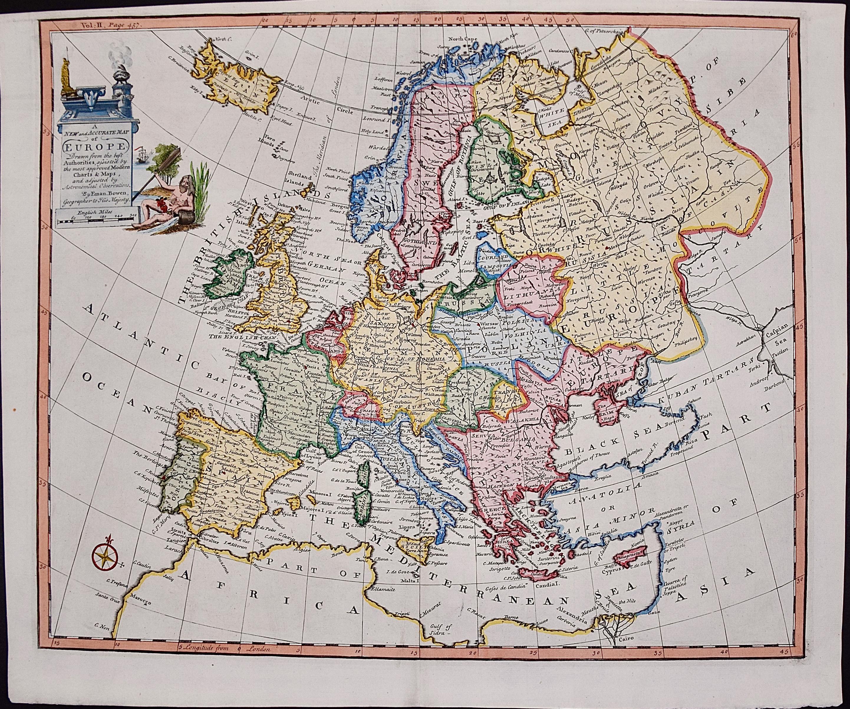
View AllEurope: An Original 18th Century Hand-colored Map by E. Bowen
Located in Alamo, CA
This is an original 18th century hand-colored map entitled "A New & Accurate Map of Europe Drawn from the Best Authorities Assisted by the Most Improved Modern Charts and Maps." by E...
Category
Mid-18th Century Old Masters Landscape Prints
Materials
Engraving

Danube River, Italy, Greece and Croatia: A Hand-colored 18th C. Homann Map
By Johann Baptist Homann
Located in Alamo, CA
"Fluviorum in Europa principis Danubii" is a hand-colored map of the region about the Danube river created by Johann Baptist Homann (1663-1724) in his 'Atlas Novus Terrarum', publish...
Category
Early 18th Century Old Masters Landscape Prints
Materials
Engraving

Hand Colored 18th Century Homann Map of Austria Including Vienna & the Danube
By Johann Baptist Homann
Located in Alamo, CA
"Archiducatus Austriae inferioris" is a hand colored map of Austria created by Johann Baptist Homann (1663-1724) and published in Nuremberg, Germany in 1728 shortly after his death. ...
Category
Early 18th Century Old Masters Landscape Prints
Materials
Engraving

West Germany: Original Hand Colored 17th Century Map by Johannes Janssonius
By Johannes Janssonius
Located in Alamo, CA
An original hand colored copperplate engraved map entitled in Latin "Archiepiscopatus Maghdeburgensis et Anhaltinus Ducatus cum terris adjacentibus", published in Amsterdam in 1640 i...
Category
Mid-17th Century Old Masters More Prints
Materials
Engraving

Map of the Russian Empire: An Original 18th Century Hand-colored Map by E. Bowen
Located in Alamo, CA
This is an original 18th century hand-colored map entitled "A New & Accurate Map of The Whole Russian Empire, As Contain'd Both In Europe and Asia, Drawn from Authentic Journals, Sur...
Category
Mid-18th Century Old Masters Landscape Prints
Materials
Engraving

Belgium and the Netherlands: A Hand-colored 17th Century Map by Visscher
By Nicolaus Visscher
Located in Alamo, CA
This is an original hand-colored 17th century map of Belgium by Nicolaus (Nicolas) Visscher II entitled "Belgium Foederatum emendate auctum et novissime editum", published in Amsterdam in 1678. The map shows the seven provinces comprising the Belgium federation or the Republic of the Seven United Netherlands or the Dutch Republic as it was also known. The republic was formed when an alliance of seven Dutch provinces in the Spanish Netherlands revolted against rule by Spain in 1579 (the Union of Utrecht) and declared their independence in 1581 (the Act of Abjuration). The seven provinces were Groningen, Frisia, Overijssel, Guelders, Utrecht, Holland and Zeeland. This was a predecessor state to the Netherlands and the first fully independent Dutch nation state. Amsterdam, Delft, Rouen, Utrecht, Brugge, Ghent, and Antwerp are all included on the map. A small inset map in the lower right depicts the course of the Maas River from Maastricht to Wessem. There is a decorative cartouche in the upper left corner and a distance scale cartouche in the lower right corner.
The map is presented in an attractive antiqued medium brown-colored wood frame with gold-colored inner and outer trim and a light tan-colored fabric mat. The frame measures 26.63" high by 30" wide by 0.75" deep. There is some darkening of the red areas in the map, presumably related to oxidation of the original iron containing pigment over time. There are also a few scattered spots. The map is otherwise in very good condition.
The Visscher family were one of the great cartographic families of the 17th century. Begun by Claes Jansz Visscher...
Category
Late 17th Century Other Art Style Landscape Prints
Materials
Engraving

You May Also Like
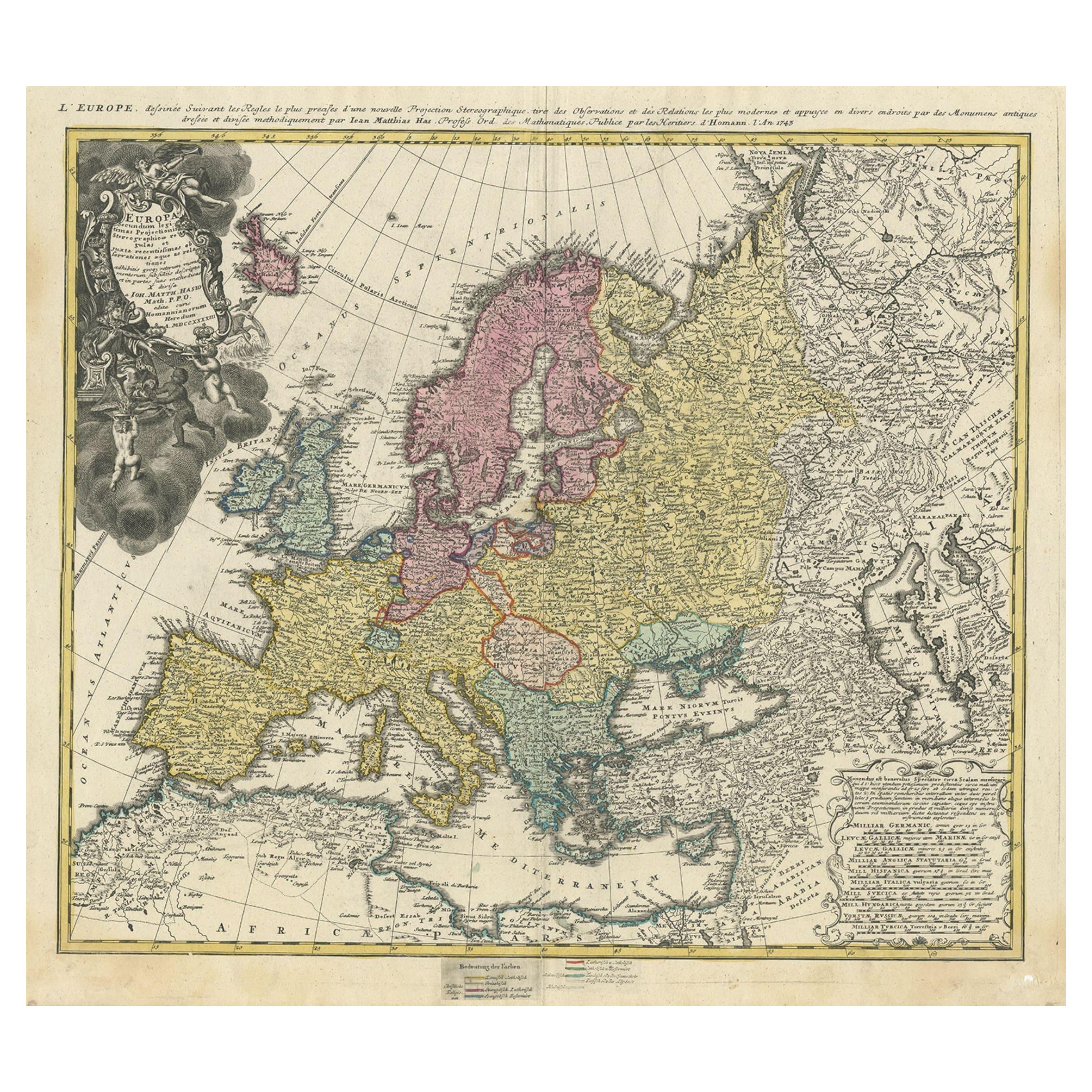
Antique Map of Europe with Elaborate Title Cartouche, c.1750
Located in Langweer, NL
Antique map of Europe titled 'Europa Secundum legitimas Projectionis Stereographicae regulas et juxta recentissimas observationes aeque ac relationes… - L'Europe, dessinee suivant le...
Category
Antique 18th Century Maps
Materials
Paper
$626 Sale Price
20% Off
Antique Map of Europe by Keizer & de Lat, 1788
Located in Langweer, NL
Antique map titled 'Kaartje van Europa (..)'. Uncommon original antique map of Europe. This map originates from 'Nieuwe Natuur- Geschied- en Handelkundige Zak- en Reisatlas' by Gerri...
Category
Antique Late 18th Century Maps
Materials
Paper

$385 Sale Price
20% Off
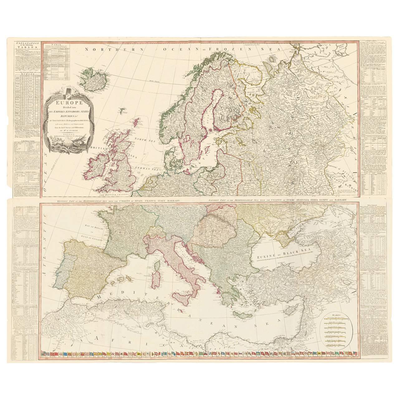
Two-Part Large Hand-Colored Map of Europe from 1798
By Thomas Kitchin
Located in New York, NY
Map of Europe printed on two separate sheets from A New Universal Atlas by Thomas Kitchin. Published in London by Laurie & Whittle, 1798. Original engravings hand-colored at publicat...
Category
1790s More Art
Materials
Paper

$1,700 Sale Price
33% Off
Political Map of Europe: Early 19th Century, from the 1802 Tardieu Atlas
Located in Langweer, NL
Antique Map Description
Title: Carte Générale et Politique de l'Europe
Publication Details:
- **Atlas Title:** Nouvel Atlas Universel de Géographie Ancienne et Moderne
- **Purpose...
Category
Antique Early 1800s French Maps
Materials
Paper

$462 Sale Price
20% Off
Antique Map of Europe from an Old Dutch School-Atlas, 1852
Located in Langweer, NL
Antique map titled 'Europa'. Map of Europe. This map originates from 'School-Atlas van alle deelen der Aarde' by Otto Petri.
Artists and Engravers: Published by A. Baedeker (Otto...
Category
Antique 19th Century Maps
Materials
Paper

$134 Sale Price
20% Off
Antique Map of Europe by R. Bonne, 1780
Located in Langweer, NL
A fine example of Rigobert Bonne and Guilleme Raynal’s 1780 map of Europe. Drawn by R. Bonne for G. Raynal’s Atlas de Toutes les Parties Connues du Globe Terrestre, Dressé pour l'His...
Category
Antique Late 18th Century French Maps
Materials
Paper

$151 Sale Price
30% Off
More Ways To Browse
Map Of Europe
Antique Maps Of Europe
Tobias Antique
Iceland Antique
Icelandic Antique
Antique Map Iceland
Waterloo Anthonie
Axis Mundi
Banksy Walled Off Hotel
Banksy Walled Off
Cartier Poster
Dali Butterfly Suite
David Hockney Red
David Roberts Petra
Earlom Mezzotint
Ernest Roth Etching
Galerie 65 Cannes
Gloucester Etching