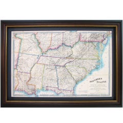
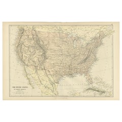
The Southern States of North America with Military Positions, Antique Map, 1861
View Similar Items


Want more images or videos?
Request additional images or videos from the seller
1 of 5
The Southern States of North America with Military Positions, Antique Map, 1861
About the Item
- Dimensions:Height: 34.75 in (88.27 cm)Width: 48.25 in (122.56 cm)Depth: 1.75 in (4.45 cm)
- Materials and Techniques:
- Place of Origin:
- Period:
- Date of Manufacture:1861
- Condition:Wear consistent with age and use. Good condition, with very vibrant coloring. Sections of map are pieced together and stablized with linen backing. Some light toning along were page was folded. Framed according to conservation standards in a custom-built wooden frame.
- Seller Location:Colorado Springs, CO
- Reference Number:Seller: M0531stDibs: LU90973150922
About the Seller
4.9
Platinum Seller
These expertly vetted sellers are 1stDibs' most experienced sellers and are rated highest by our customers.
Established in 2010
1stDibs seller since 2011
400 sales on 1stDibs
More From This SellerView All
- 1861 Topographical Map of the District of Columbia, by Boschke, Antique MapLocated in Colorado Springs, COPresented is an original map of Albert Boschke's extremely sought-after "Topographical Map of the District of Columbia Surveyed in the Years 1856 ...Category
Antique 1860s American Historical Memorabilia
MaterialsPaper
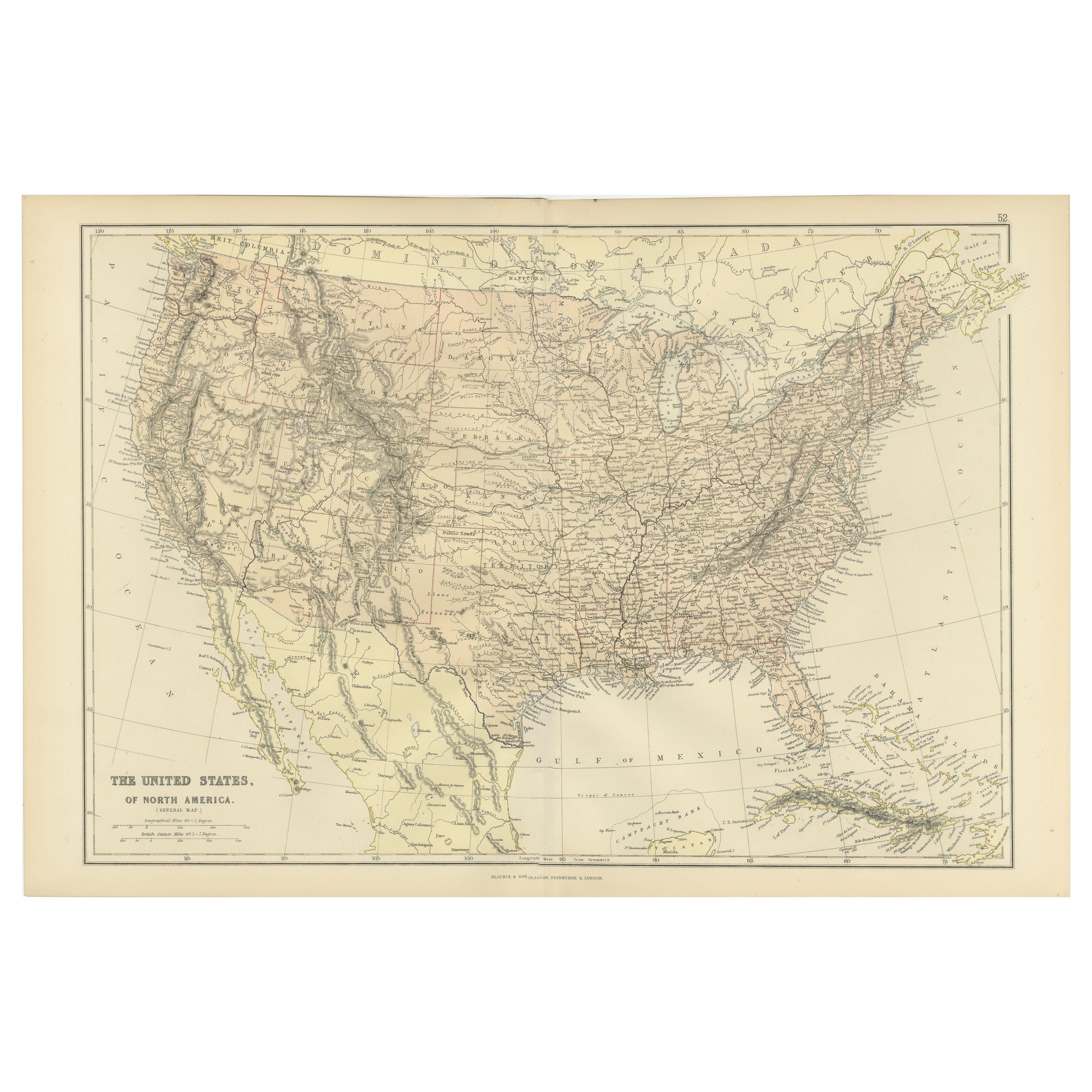
- 1859 "Map of the United States of America..." by J. H. ColtonBy J.H. ColtonLocated in Colorado Springs, COPresented is an 1859 “Map of the United States of America, the British Provinces, Mexico, the West Indies and Central America with Part of...Category
Antique 1850s American Maps
MaterialsPaper
- 1864 Map of North America, Antique Hand-Colored Map, by Adolphe Hippolyte DufourLocated in Colorado Springs, COOffered is a map of North America entitled Amerique du Nord from 1864. This rare, separately published wall map was produced by Adolphe Hippolyte Dufour. This map includes vibrant an...Category
Antique 1860s French Maps
MaterialsPaper
- 1875 "North America" Map by J. BartholomewLocated in Colorado Springs, COPresented is an original 1875 map of “North America.” The map was issued in Volume 1 of the Ninth Edition of the Encyclopædia Britannica, published in Edinburgh. The map was drawn by famous Scottish mapmaker John Bartholomew. The map depicts North America, to include Greenland, the Dominion of Canada, the United States, Mexico, the countries of Central America, and the islands of the West Indies. Prominent rivers, mountain ranges, and cities are labeled on the map, and country borders are emphasized in red. The Encyclopædia Britannica has been published continuously since 1768, appearing in fifteen official editions. The landmark ninth edition of the Encyclopædia Britannica, often called "the Scholar's Edition," was published from January 1875 to 1889 in 25 volumes. The editor and author of the “Foreword” was Thomas Spencer Baynes, the first English-born editor after a series of Scots. After 1880, Baynes was assisted by William Robertson Smith. The 9th edition is often lauded as a high point among early editions for scholarship. The 9th edition was far more luxurious than any previously printed Encyclopædia Britannicas, with thick boards and quality leather bindings, premier paper, and a production which took full advantage of the technological advances of printing in the years between the 1850s and 1870s. The publishers took advantage of the new ability to print large graphic illustrations on the same pages as the text, as opposed to limiting illustrations to separate copper plate engravings. Although this technology had first been used in a primitive fashion the 7th edition, and to a much lesser extent in the 8th, in the 9th edition there were thousands of quality illustrations and maps set...Category
Antique 1870s Scottish Maps
MaterialsPaper
- "The United States from the Latest Authorities" Antique Wall Map, 1835Located in Colorado Springs, COThis is a 1835 map of “The United States from the Latest Authorities” by Ezra Strong. A hand-colored engraved wall map of the eastern half of the United States, this map has a large inset of the "Oregon District" and several engraved city views and two portraits. The primary map extends to Mexico Texas and the Missouri Territory, showing the course of the Missouri River to Ft. Mandan and Old Ft. Mandan, and noting many forts along the river. The territories to the east of Missouri Territory are separately delineated as Sioux District and Huron District. The western details of the map are very good for a map of this time period, with many Native American settlements, villages, forts and other details noted. The map is bordered with vignettes of Boston, New York, Philadelphia, Hartford, Cincinnati, and Baltimore. Each vignette notes the date settled, primary settler, and the population as of 1830. Two portraits of LaFayette and George Washington are presented in full length with related biographical information. A large inset map at lower right shows the Oregon District, centered on the Columbia River and extending to the Rocky Mountains. This is one of the earliest commercial appearances of a separate map of Oregon...Category
Antique 1830s American Maps
MaterialsPaper
- 1812 United States Map, by Pierre Tardieu, Antique French Map Depicting the U.S.By Pierre François TardieuLocated in Colorado Springs, CO1812 "United States of Nth America -- Carte des Etats-Unis De L'Amerique Septentrionale" Two-Sheet Map by Tardieu This attractive map, published in Paris in 1812, is one of the most rare large format maps from the period. It features a view of the East Coast of the U.S. from Maryland to just below South Carolina. Additionally, Ellicott’s plan for the City of Washington D.C. is included at the top right and an illustration of Niagara Falls is shown at the bottom right with a description in both French and English. This extremely detailed map not only depicts the mountainous regions of the southeastern U.S., but also includes names of regions, rivers, and towns. Based on the first state of Arrowsmith’s 4-sheet map of the United States, this map is completely engraved by Tardieu in Paris and showcases high quality engravings. This detailed map of the recently independent United States includes one of the largest and earliest examples of the Ellicott plan of Washington DC. The artist, Pierre François Tardieu (PF Tardieu) was a very well-known map engraver, geographer, and illustrator. Awarded a bronze medal by King Louis-Phillipe for the accuracy and beauty of his map-making, Tardieu produced many fine works including maps of Louisiana...Category
Antique 1810s French Maps
MaterialsPaper


You May Also Like
- Antique Map of The United States of North America, Pacific States, 1882Located in Langweer, NLThe map is from the same 1882 Blackie Atlas and focuses on the Pacific States of the United States of America during that period. Here are some details and historical context about t...Category
Antique 1880s Maps
MaterialsPaper
- Antique Map of The United States of North America, 1882Located in Langweer, NLThis is a historical map titled "The United States of North America, Central Part" from the 1882 Blackie Atlas. It depicts the continental United States with a high level of detail, ...Category
Antique 1880s Maps
MaterialsPaper
- Antique Map of the United States of North America, c.1882Located in Langweer, NLAntique map titled 'United States of North America'. Old map of the United States of North America. This map originates from 'The Royal Atlas of Modern Geography, Exhibiting, in a Se...Category
Antique 1880s Maps
MaterialsPaper
- Antique Map of the United States of North America by Wyld '1845'Located in Langweer, NLAntique map titled 'Map of The United States of North America'. Original antique map of the United States of North America. This map originates from 'An Atlas of the World, Comprehen...Category
Antique Mid-19th Century Maps
MaterialsPaper
 $219 Sale Price20% Off
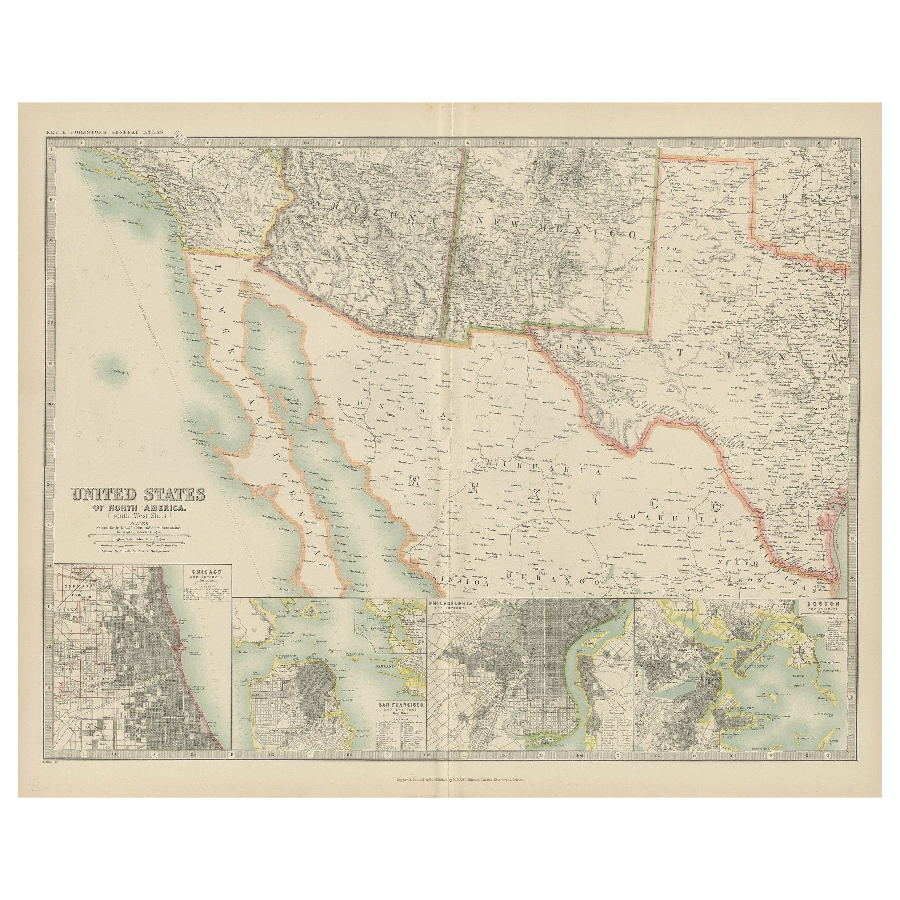
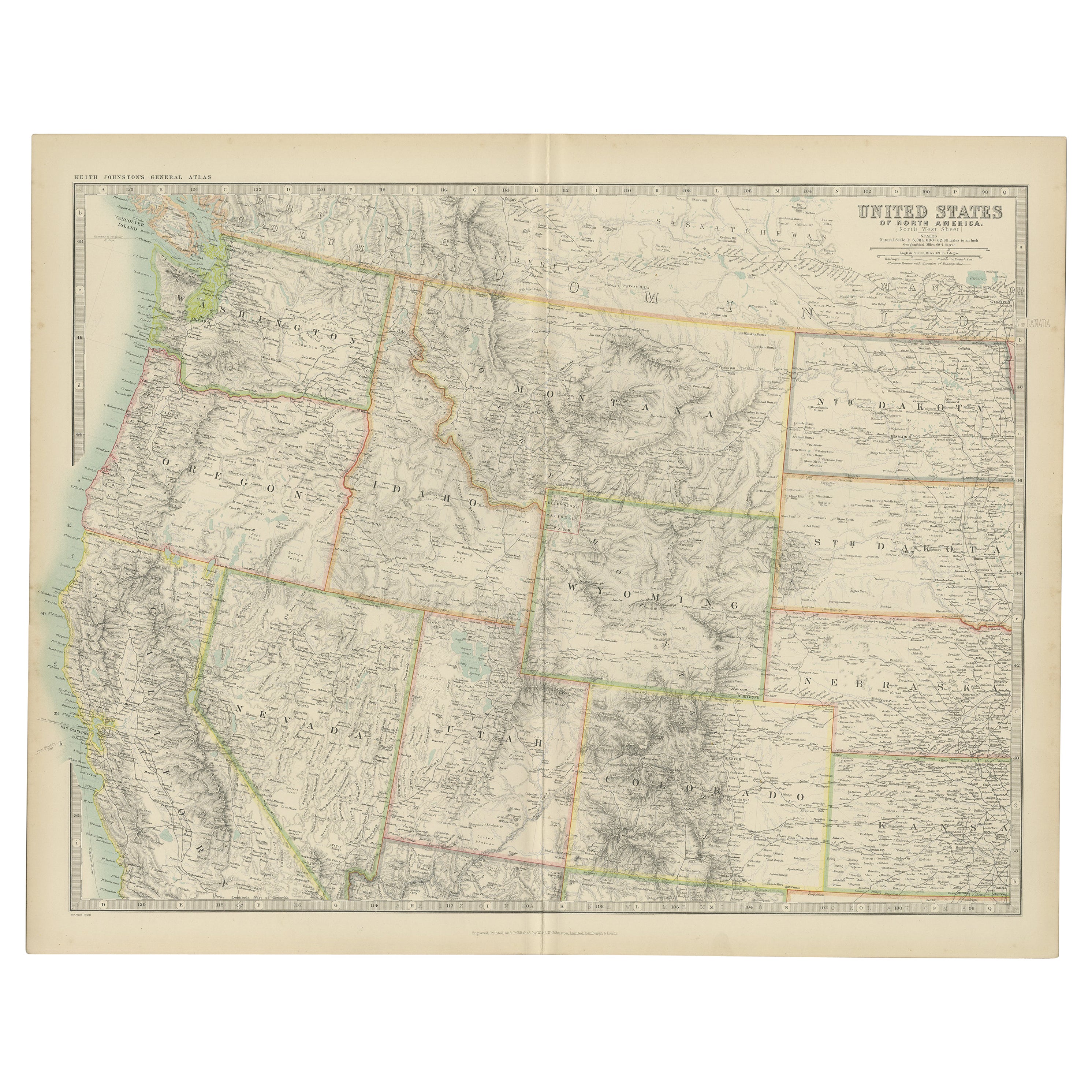
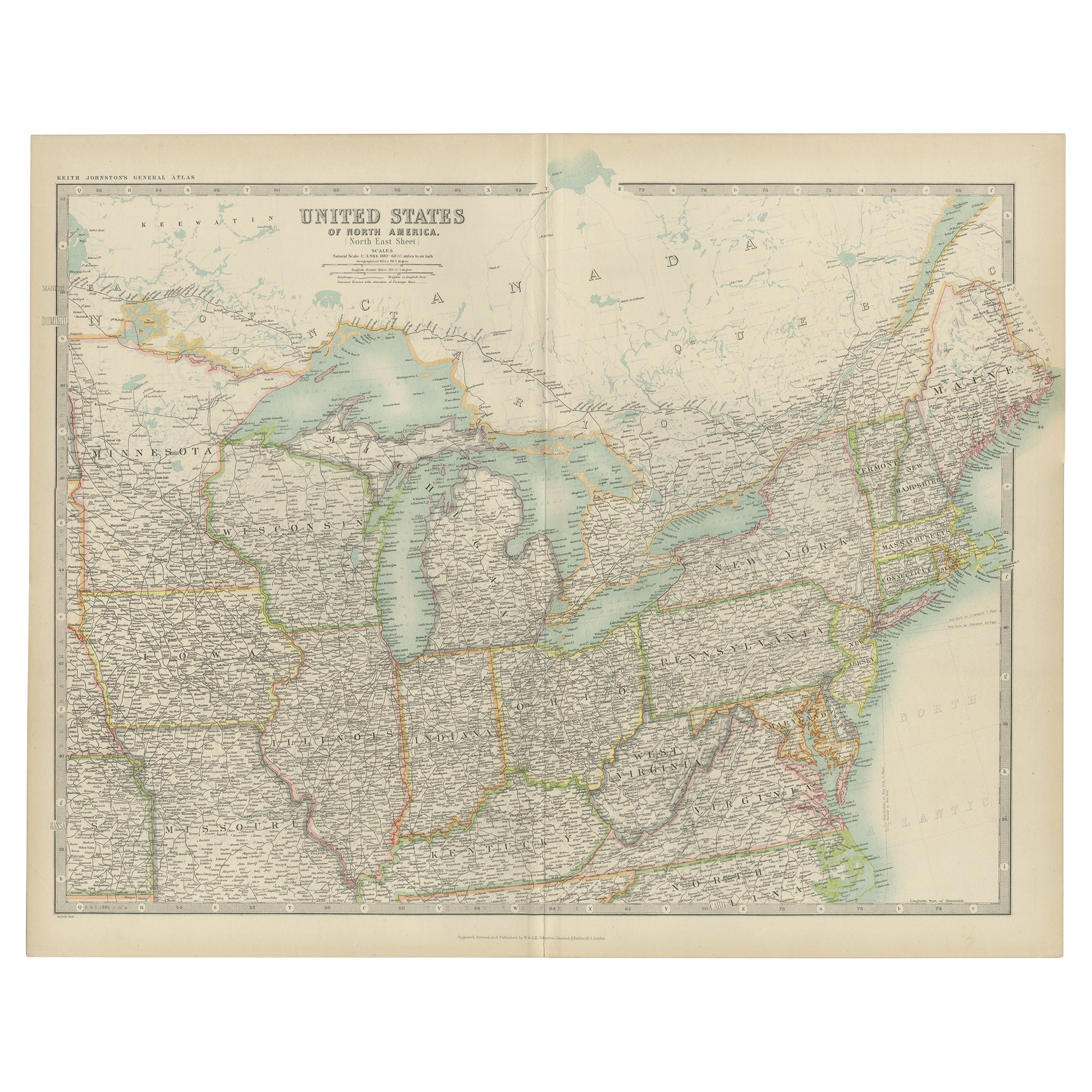
 - Antique Map of the United States of North America by Johnston '1909'Located in Langweer, NLAntique map titled 'United States of North America'. Original antique map of United States of North America ( South West Sheet ). With inset maps of Chicago...Category
Early 20th Century Maps
MaterialsPaper
 $306 Sale Price20% Off
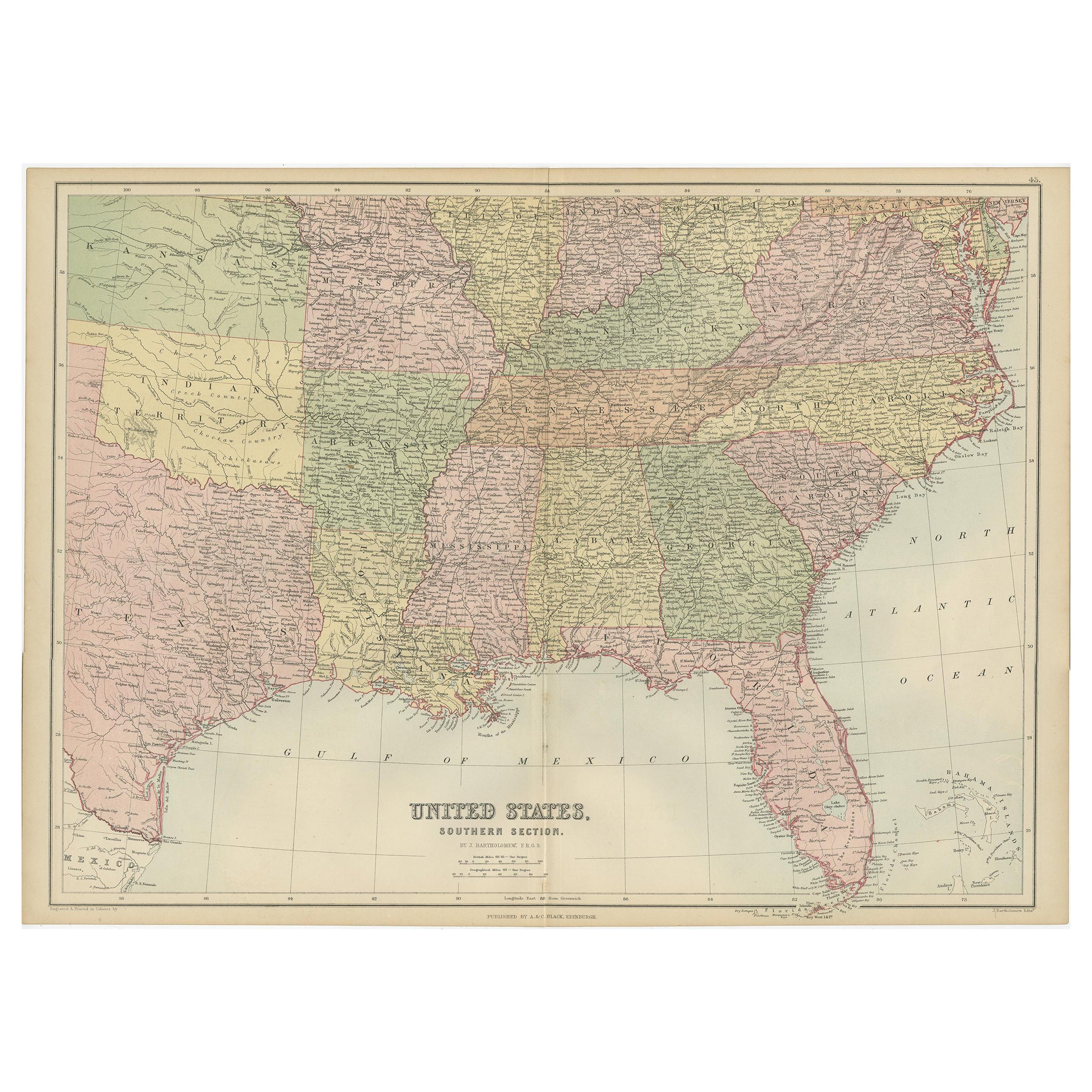
 - Antique Map of The United States Southern Section by A & C. Black, 1870Located in Langweer, NLAntique map titled 'United States Southern Section'. Original antique map of Map of The United States Southern Section. This map originates from ‘Black's General Atlas of The World’....Category
Antique Late 19th Century Maps
MaterialsPaper


Recently Viewed
View AllMore Ways To Browse
Confederate States
Antique Linen Map
Antique Railroad Maps
Map Railroad
Antique Maps Texas
Antique Texas Map
Antique Texas Maps
Antique Maps Of Texas
Scott James Furniture
James Gibson
Map Missouri
Divided Lands
Antique Map Of Texas
Antique Map Texas
Missouri Antique Map
Kansas Map
Antique Blackwood Furniture
Antique Map Of New York City