Antique Map of Zanzibar and the East African Coast by N. Sanson, circa 1690
View Similar Items


Want more images or videos?
Request additional images or videos from the seller
1 of 5
Antique Map of Zanzibar and the East African Coast by N. Sanson, circa 1690
About the Item
- Dimensions:Height: 8.47 in (21.5 cm)Width: 12.21 in (31 cm)Depth: 0.02 in (0.5 mm)
- Materials and Techniques:
- Period:Late 17th Century
- Date of Manufacture:circa 1690
- Condition:Please study image carefully.
- Seller Location:Langweer, NL
- Reference Number:Seller: BG-094421stDibs: LU3054310028761
About the Seller
5.0
Platinum Seller
These expertly vetted sellers are 1stDibs' most experienced sellers and are rated highest by our customers.
Established in 2009
1stDibs seller since 2017
1,948 sales on 1stDibs
More From This SellerView All
- Antique Map of Japan and Korea by Sanson, 'c.1690'Located in Langweer, NLAntique map titled 'Les Iles du Iapon (..)'. Original antique map, with beautiful (later) hand coloring, of Japan and the Island of Corey (Korea). Uncommon edition, with '234' at top...Category
Antique Late 17th Century Maps
MaterialsPaper
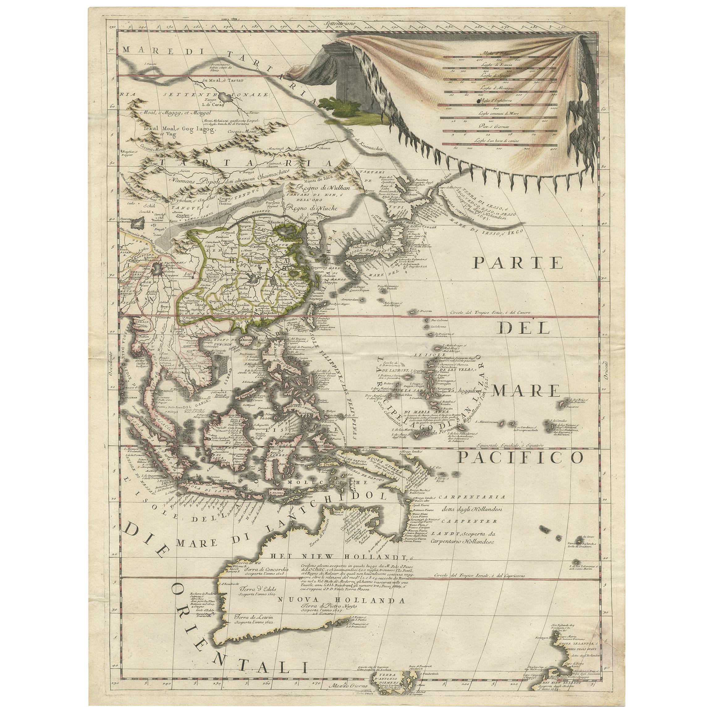
- Antique Map of East Asia by Coronelli, circa 1690Located in Langweer, NLAntique map of East Asia showing New Holland and parts of Van Diemens Land and New Zealand. This map is the right hand part of a two sheet map, but is complete on its own. This map o...Category
Antique Late 17th Century Maps
MaterialsPaper
 $2,230 Sale Price30% Off
 - Original Detailed Antique Map of the East Coast of Africa, 1747Located in Langweer, NLAntique map titled 'Carte de la coste Orientale d'Afrique - Kaart van de Oostkust van Afrika'. Original antique map of the east coast of Africa. Reaches from Cape of Good Hope an...Category
Antique 1740s Maps
MaterialsPaper
 $167 Sale Price20% Off
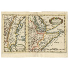
 - Rare Antique Map of the Middle East, ca.1690Located in Langweer, NLDescription: Antique print, untitled. Two decorative maps on one sheet of the middle east in biblical times. Source unknown, to be determined. Artists and Engravers: Anonymous...Category
Antique 1690s Prints
MaterialsPaper
- Antique Map of Asia by Sanson, circa 1705By Nicolas SansonLocated in Langweer, NLDutch edition of Sanson's map of Asia. Shows a large, dramatic version of Terre de Jesso, drawn from the discoveries of the Maarten de Vries expedition of 1643.Category
Antique Early 18th Century Dutch Maps
MaterialsPaper
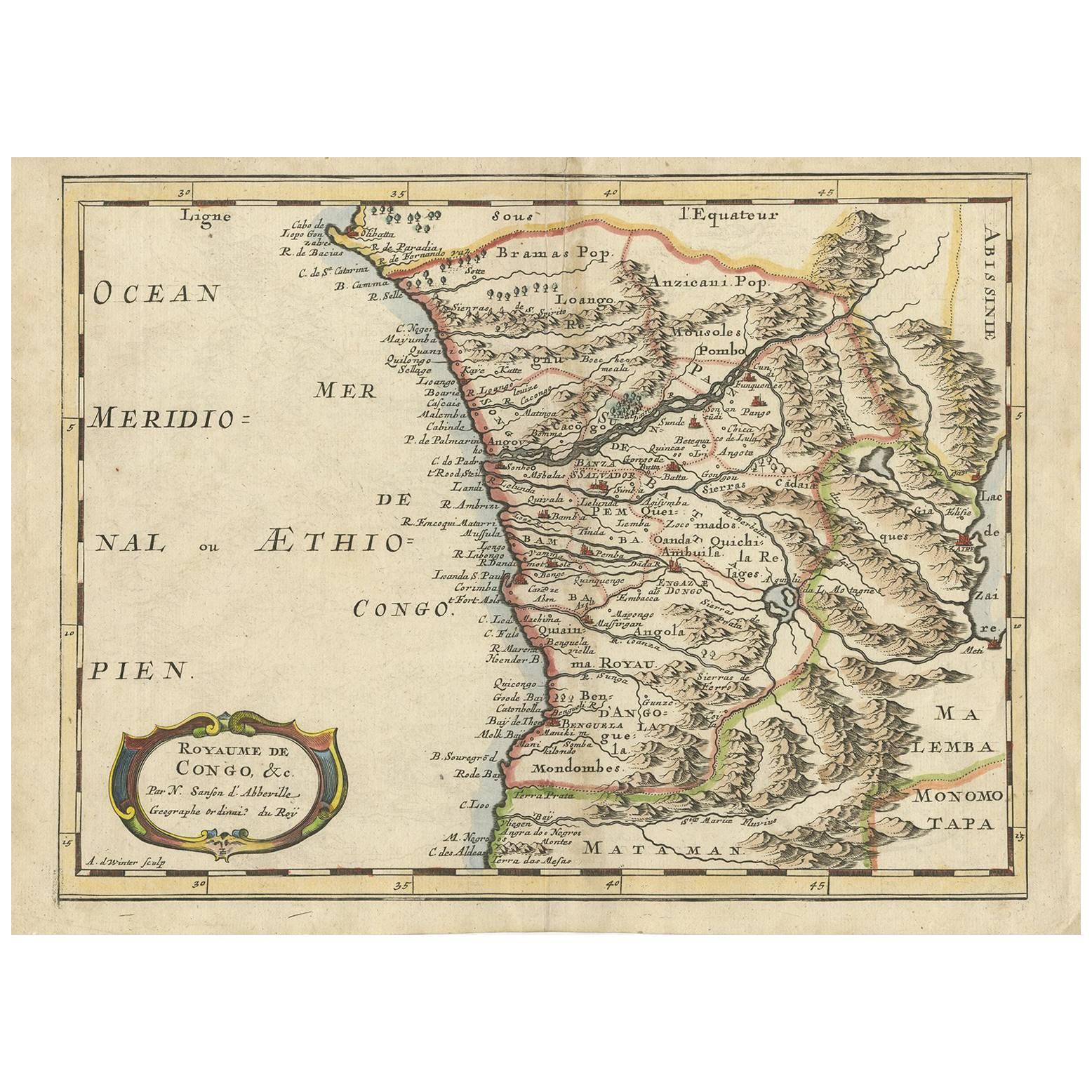
- Antique Map of Madagascar by N. Sanson, circa 1680By Nicolas SansonLocated in Langweer, NLAntique map titled 'Isle de Madagascar ou de St. Laurens. Tiree de Sanutu &c'. Antique map of Madagascar, first published by Sanson in 1657. Sanson n...Category
Antique Late 17th Century Maps
MaterialsPaper


You May Also Like
- "Africa Vetus": a 17th Century Hand-Colored Map by SansonBy Nicolas SansonLocated in Alamo, CAThis original hand-colored copperplate engraved map of Africa entitled "Africa Vetus, Nicolai Sanson Christianiss Galliar Regis Geographi" was originally created by Nicholas Sanson d...Category
Antique Late 17th Century French Maps
MaterialsPaper
- Africa: A Large 17th Century Hand-Colored Map by Sanson and JaillotBy Nicolas SansonLocated in Alamo, CAThis large original hand-colored copperplate engraved map of Africa entitled "L'Afrique divisee suivant l'estendue de ses principales parties ou sont distingues les uns des autres, L...Category
Antique 1690s French Maps
MaterialsPaper
- The Normandy Region of France: A 17th C. Hand-colored Map by Sanson and JaillotBy Nicolas SansonLocated in Alamo, CAThis large hand-colored map entitled "Le Duché et Gouvernement de Normandie divisée en Haute et Basse Normandie en divers Pays; et par evêchez, avec le Gouvernement General du Havre ...Category
Antique 1690s French Maps
MaterialsPaper
- Original Antique Map of South East Asia by Becker, circa 1840Located in St Annes, LancashireGreat map of South East Asia Steel engraving with original color outline Engraved by Becker Published by Virtue, circa 1840. Unframed.Category
Antique 1840s English Other Maps
MaterialsPaper
- West Coast of Africa, Guinea & Sierra Leone: An 18th Century Map by BellinBy Jacques-Nicolas BellinLocated in Alamo, CAJacques Bellin's copper-plate map entitled "Partie de la Coste de Guinee Dupuis la Riviere de Sierra Leona Jusquau Cap das Palmas", depicting the coast of Guinea and Sierra Leone in ...Category
Antique Mid-18th Century French Maps
MaterialsPaper
- Portugal: A Large 17th Century Hand-colored Map by Sanson and JaillotBy Nicolas SansonLocated in Alamo, CAThis large hand-colored map entitled "Le Royaume de Portugal et des Algarves Divisee en see Archeveches, Eveches et Territoires Par le Sr Sanson" was originally created by Nicholas S...Category
Antique 1690s French Maps
MaterialsPaper


Recently Viewed
View AllMore Ways To Browse
Maps Red Sea
Afrique Antique
East Africa Map
Antique Copper Horn
L Afrique Antique
Map Zanzibar
Antique Whimsical
Copper Collectables
Antique Atlas Map
Provence Antiques
Antique Maps Prints
Antique Map Prints
Antique Map Print
Antique Prints Maps
Antique Prints And Maps
Antique Maps And Prints
Map 19th Century
Antique Atlas Furniture