Items Similar to Large Folding Map of Paris, France, on Linen, 36 Segments, Published in 1836

Want more images or videos?
Request additional images or videos from the seller
1 of 6
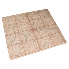
Large Folding Map of Paris, France, on Linen, 36 Segments, Published in 1836
$1,288.34
$1,610.4320% Off
£952.49
£1,190.6120% Off
€1,080
€1,35020% Off
CA$1,772.10
CA$2,215.1220% Off
A$1,969.80
A$2,462.2520% Off
CHF 1,032.53
CHF 1,290.6620% Off
MX$24,055.99
MX$30,069.9920% Off
NOK 12,890.48
NOK 16,113.1120% Off
SEK 12,127.54
SEK 15,159.4320% Off
DKK 8,222.02
DKK 10,277.5320% Off
About the Item
Antique map Paris titled 'Carte Topographique des Environs de Paris Nouvelle edition rectifié d'apres les travaux de la Nouvelle Carte De France'.
Folding map of Paris on linen, 36 segments.
Artists and Engravers: Published by J. Andriveau-Goujon, Paris, 1836.
- Dimensions:Height: 27.96 in (71 cm)Width: 39.77 in (101 cm)Depth: 0 in (0.02 mm)
- Materials and Techniques:
- Period:
- Date of Manufacture:1836
- Condition:Condition: Good, general age-related toning. Some segments a bit loose, please study image carefully.
- Seller Location:Langweer, NL
- Reference Number:Seller: BG-11542 1stDibs: LU3054327344082
About the Seller
5.0
Recognized Seller
These prestigious sellers are industry leaders and represent the highest echelon for item quality and design.
Platinum Seller
Premium sellers with a 4.7+ rating and 24-hour response times
Established in 2009
1stDibs seller since 2017
2,607 sales on 1stDibs
Typical response time: <1 hour
- ShippingRetrieving quote...Shipping from: Langweer, Netherlands
- Return Policy
Authenticity Guarantee
In the unlikely event there’s an issue with an item’s authenticity, contact us within 1 year for a full refund. DetailsMoney-Back Guarantee
If your item is not as described, is damaged in transit, or does not arrive, contact us within 7 days for a full refund. Details24-Hour Cancellation
You have a 24-hour grace period in which to reconsider your purchase, with no questions asked.Vetted Professional Sellers
Our world-class sellers must adhere to strict standards for service and quality, maintaining the integrity of our listings.Price-Match Guarantee
If you find that a seller listed the same item for a lower price elsewhere, we’ll match it.Trusted Global Delivery
Our best-in-class carrier network provides specialized shipping options worldwide, including custom delivery.More From This Seller
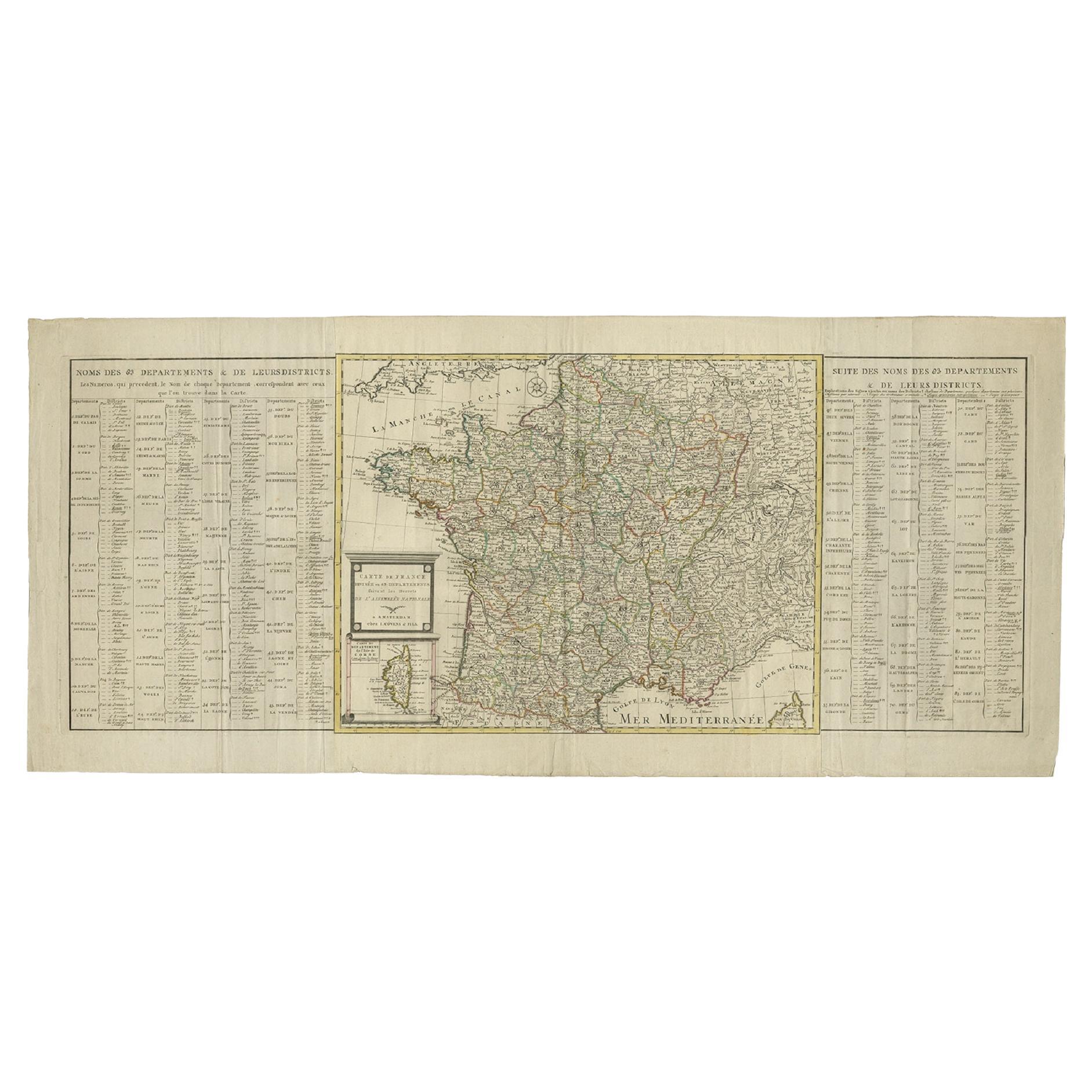
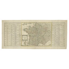
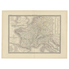
View AllAntique Map of France by Covens & Son, c.1790
Located in Langweer, NL
A detailed description of the 'Carte de France divisée en 83 Departements (..)', an antique map circa 1790, along with information about its publishers, Covens & Mortier:
**Title**:...
Category
Antique 18th Century Maps
Materials
Paper
$429 Sale Price
20% Off
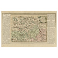
Old Map of Part of France: Poitou, Berry, Bourbonnais, and Nivernais in 1768
Located in Langweer, NL
The map with text neatly mounted on both sides of the map on the plate, is a section of an old map with accompanying French text. The map mentions several historical French provinces...
Category
Antique 1760s Maps
Materials
Paper
$343 Sale Price
20% Off
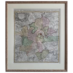
Antique Map of the Region of Paris ‘France’ by H. Heirs, circa 1720
Located in Langweer, NL
Antique map titled 'Agri Parisiensis Tabula particularis, qua maxima Pars Insulae Franciae (..)'. Incredibly detailed map showing everything from tiny villages to forests, farmland, ...
Category
Antique Early 18th Century Maps
Materials
Paper
$1,049 Sale Price
20% Off
Antique Map of France with Surrounding Countries, 1842
Located in Langweer, NL
Antique map titled 'Carte comparée de la France en 1789 et 1813'. Map of France. This map originates from 'Atlas universel de géographie ancienne et moderne (..)' by Pierre M. Lapie ...
Category
Antique 19th Century Maps
Materials
Paper
$286 Sale Price
20% Off
Antique Map of France under the Second Race by Zannoni, 1765
Located in Langweer, NL
Antique map France titled 'Tableau du Domaine Royal (..)'. Beautiful old map of France. This map originates from 'Atlas Historique de la France Ancienne et Moderne' by M. Rizzi Zanno...
Category
Antique 18th Century Maps
Materials
Paper
$143 Sale Price
20% Off
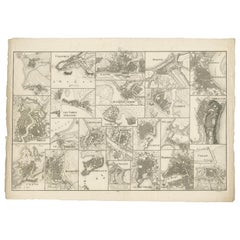
Antique Map of Various Ports in France by Röder 'circa 1800'
Located in Langweer, NL
Antique print showing various ports in France. Including plans of St. Malo, Granville, Nantes, Dieppe, Bourdeauz, Gibraltar, Lorient, Boulogne sur Mer, Les Sables d'Olonne, Brest, Le Trèport, Antibes, La Ciotat...
Category
Antique Early 19th Century Maps
Materials
Paper
$1,765 Sale Price
20% Off
You May Also Like
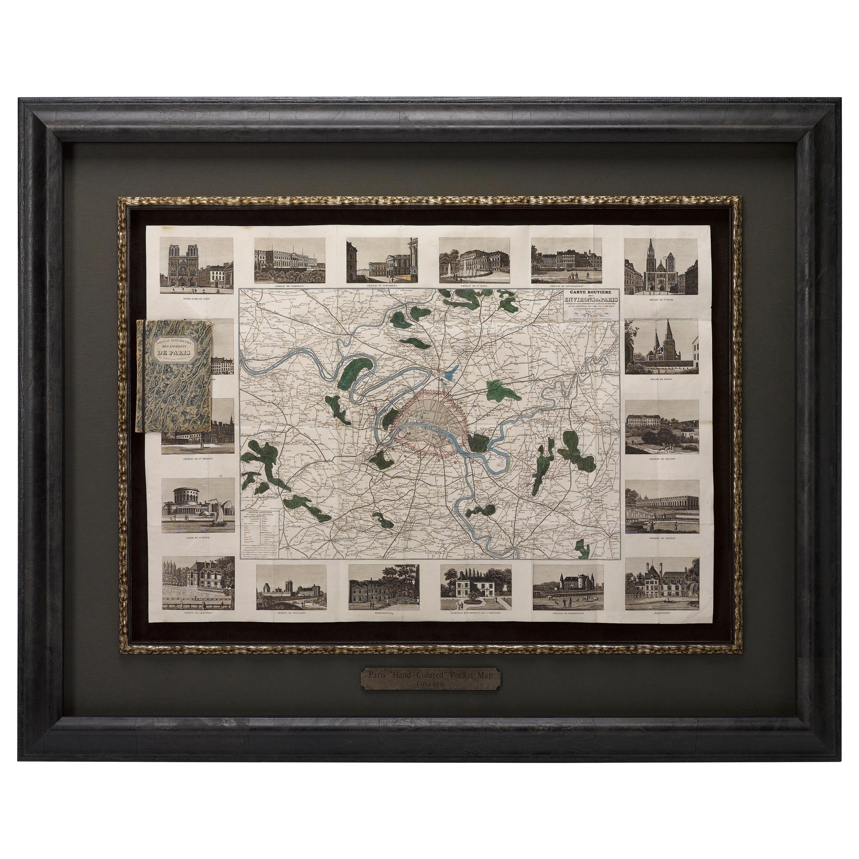
Antique Map of Paris, "Carte Routiere des Environs de Paris" 1841
Located in Colorado Springs, CO
This beautiful hand-colored road map of Paris was published in 1841. The map shows Paris and the surrounding area in a folding pocket map. Organized and detailed for travelers, this ...
Category
Antique 1840s French Maps
Materials
Paper

Original Large Antique Map of Paris, France by John Dower, 1861
Located in St Annes, Lancashire
Fabulous monochrome map of Paris.
Vignettes of St Germain En Laye, Saint Cloud, Versailles and Fontainbleau.
Unframed.
Drawn by J.Dower.
Lithography by Weller. 4 sheets joined to...
Category
Antique 1860s English Victorian Maps
Materials
Paper

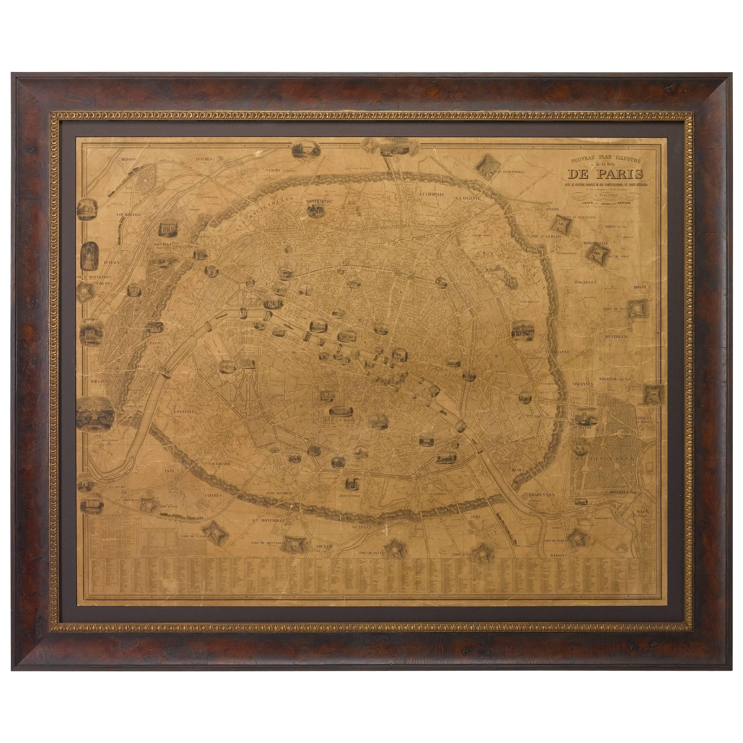
Plan of Paris, France, by A. Vuillemin, Antique Map, 1845
Located in Colorado Springs, CO
This large and detailed plan of Paris was published by Alexandre Vuillemin in 1845. The map conveys a wonderful amount of information and is decorated throughout with pictorial vigne...
Category
Antique 1840s American Maps
Materials
Paper

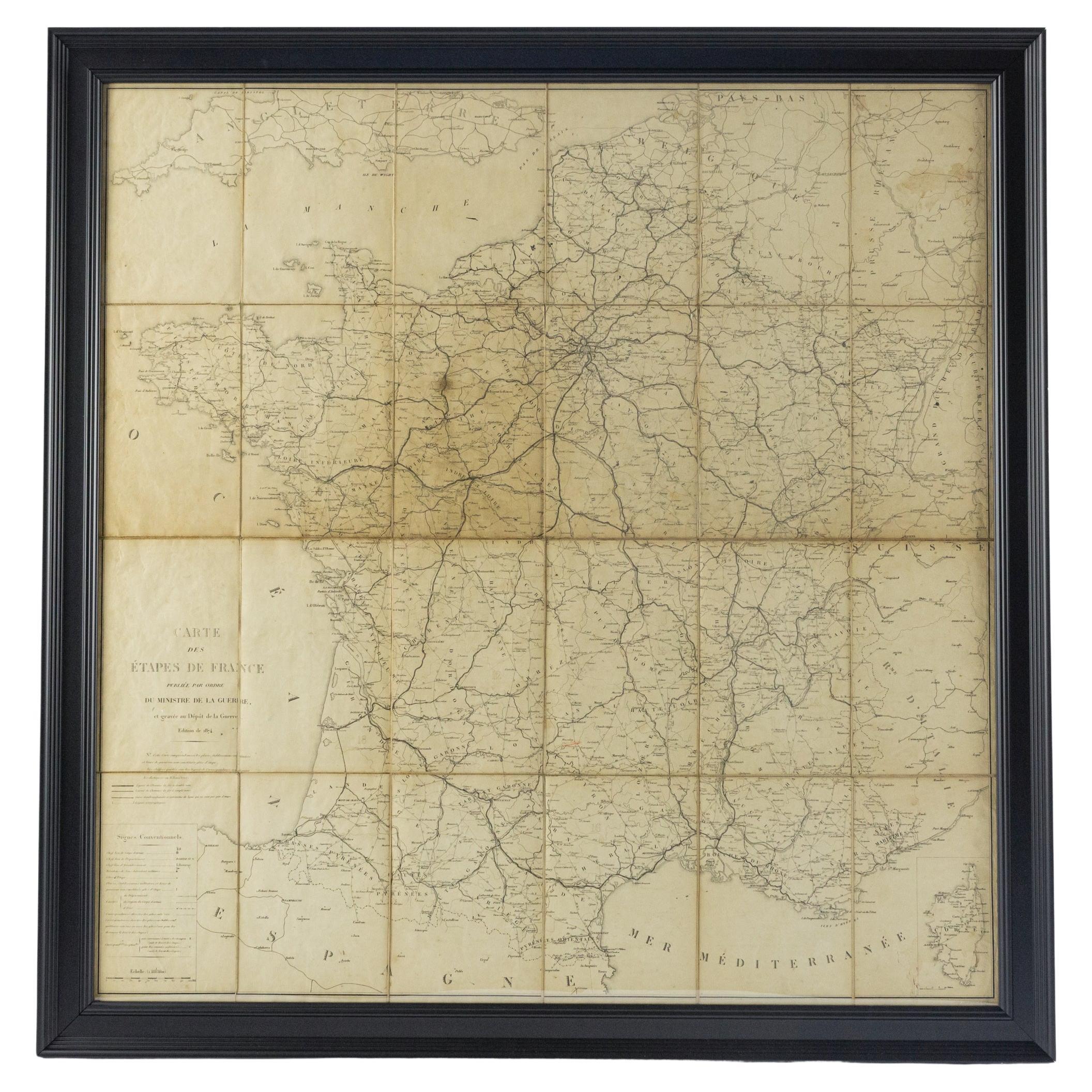
Large 19th Century Map of France
Located in Pease pottage, West Sussex
Large 19th Century Map of France.
Remarkable condition, with a pleasing age worn patina.
Recently framed.
France Circa 1874.
Category
Antique Late 19th Century French Maps
Materials
Linen, Paper

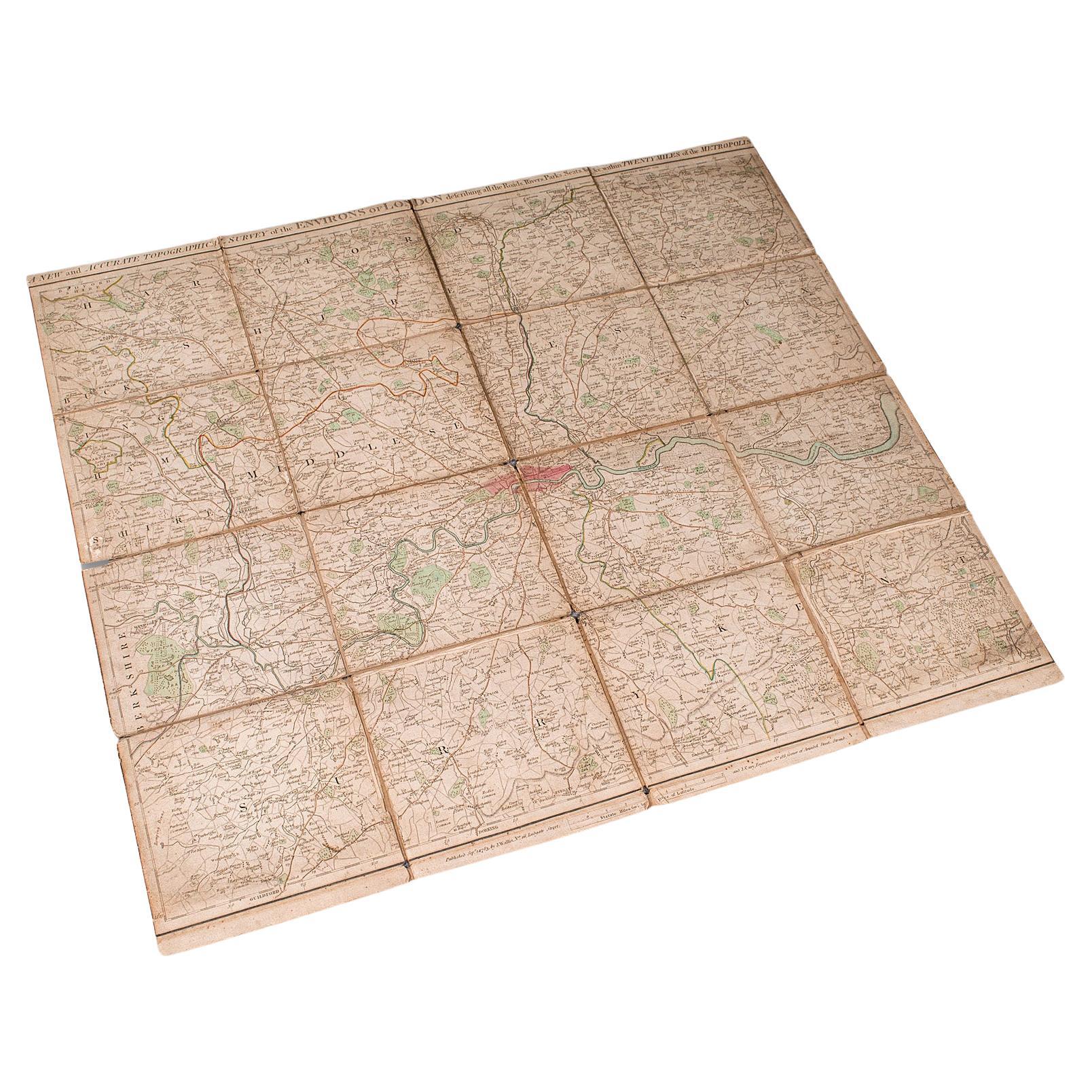
Antique Folding London Map, English, Cartography, Historic, Georgian, Dated 1783
Located in Hele, Devon, GB
This is an antique folding London map. An English, paper on linen cartographical study of the London metropolis and the surrounding area, published in the mid Georgian period, dated ...
Category
Antique Late 18th Century British Georgian Maps
Materials
Linen, Paper
Old Map Depicting the Entire Earth's Surface Divided into Six Parts France 1850
Located in Milan, IT
Map depicting the entire earth's surface divided into six parts which depicts the position of peoples on Earth based on the assumption that it is impossible for each people to have t...
Category
Antique Mid-19th Century French Maps
Materials
Glass, Wood, Paper

More Ways To Browse
Antique Linen Paper
Ptolemy Map
Map Of Jerusalem
1820 World Map
Cyprus Antique Maps
Antique Ecuador
Antique Map Of Thailand
Antique Mississippi Map
Antique Ohio Maps
Burgundy Map
John Speed Maps
Antique Map Of Turkish Empire
Antique Portuguese Scales
Canadian Atlas Furniture
Prussia Map
Afghanistan Map
Malabar Map
Antique Compass Made In France