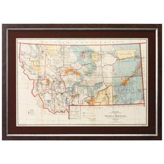
1897 Map of the State of Montana by the General Land Office
View Similar Items


Want more images or videos?
Request additional images or videos from the seller
1 of 2
1897 Map of the State of Montana by the General Land Office
About the Item
- Dimensions:Height: 22.25 in (56.52 cm)Width: 30.5 in (77.47 cm)Depth: 2 in (5.08 cm)
- Place of Origin:
- Period:
- Date of Manufacture:1897
- Condition:Wear consistent with age and use.
- Seller Location:Colorado Springs, CO
- Reference Number:Seller: M0271stDibs: LU90974627183
About the Seller
4.9
Platinum Seller
These expertly vetted sellers are 1stDibs' most experienced sellers and are rated highest by our customers.
Established in 2010
1stDibs seller since 2011
400 sales on 1stDibs
More From This SellerView All
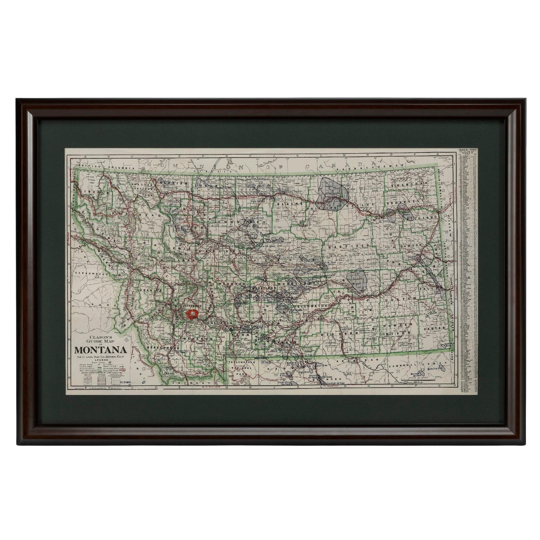
- "Clason's Guide Map of Montana" by The Clason Map Company, Circa 1920sLocated in Colorado Springs, COPresented is “Clason's Guide Map of Montana,” published in the early 1920s by the Clason Map Company. Issued as a folding map, this map identifies county boundaries, county seats, Na...Category
Vintage 1920s American Art Deco Maps
MaterialsPaper
- 1859 "Colton's New Map of the State of Texas..." by Johnson & BrowningLocated in Colorado Springs, COPresented is "Colton's New Map of the State of Texas Compiled from De Cordova's Large Map", published in Alivin J. Johnson’s “New Illustrated Family Atlas.” The map was published in ...Category
Antique 1850s American Maps
MaterialsPaper
- 1837 Mitchell's "Tourist's Pocket Map of the State of Virginia" by J.H. YoungLocated in Colorado Springs, COThis is J. H. Young's pocket map of the Virginia, which shows county development current to 1835. The map was engraved by E. Yeager and F. Dankworth and published by S. A. Mitchell. ...Category
Antique 1830s American Maps
MaterialsPaper
- 1861 Topographical Map of the District of Columbia, by Boschke, Antique MapLocated in Colorado Springs, COPresented is an original map of Albert Boschke's extremely sought-after "Topographical Map of the District of Columbia Surveyed in the Years 1856 ...Category
Antique 1860s American Historical Memorabilia
MaterialsPaper
- 1908 "Map of Texas" by The Kenyon CompanyLocated in Colorado Springs, COPresented is an antique map of the state of Texas, printed as a pocket map in 1908 by The Kenyon Company. The state map is brightly colored by county, with principal cities and towns listed. The congressional districts are numbered and boldly outlined in red. Rivers, roads, and railroads all appear prominently on this fantastic map...Category
Antique Early 1900s American Maps
MaterialsPaper
- 1859 "Map of the United States of America..." by J. H. ColtonBy J.H. ColtonLocated in Colorado Springs, COPresented is an 1859 “Map of the United States of America, the British Provinces, Mexico, the West Indies and Central America with Part of...Category
Antique 1850s American Maps
MaterialsPaper


You May Also Like
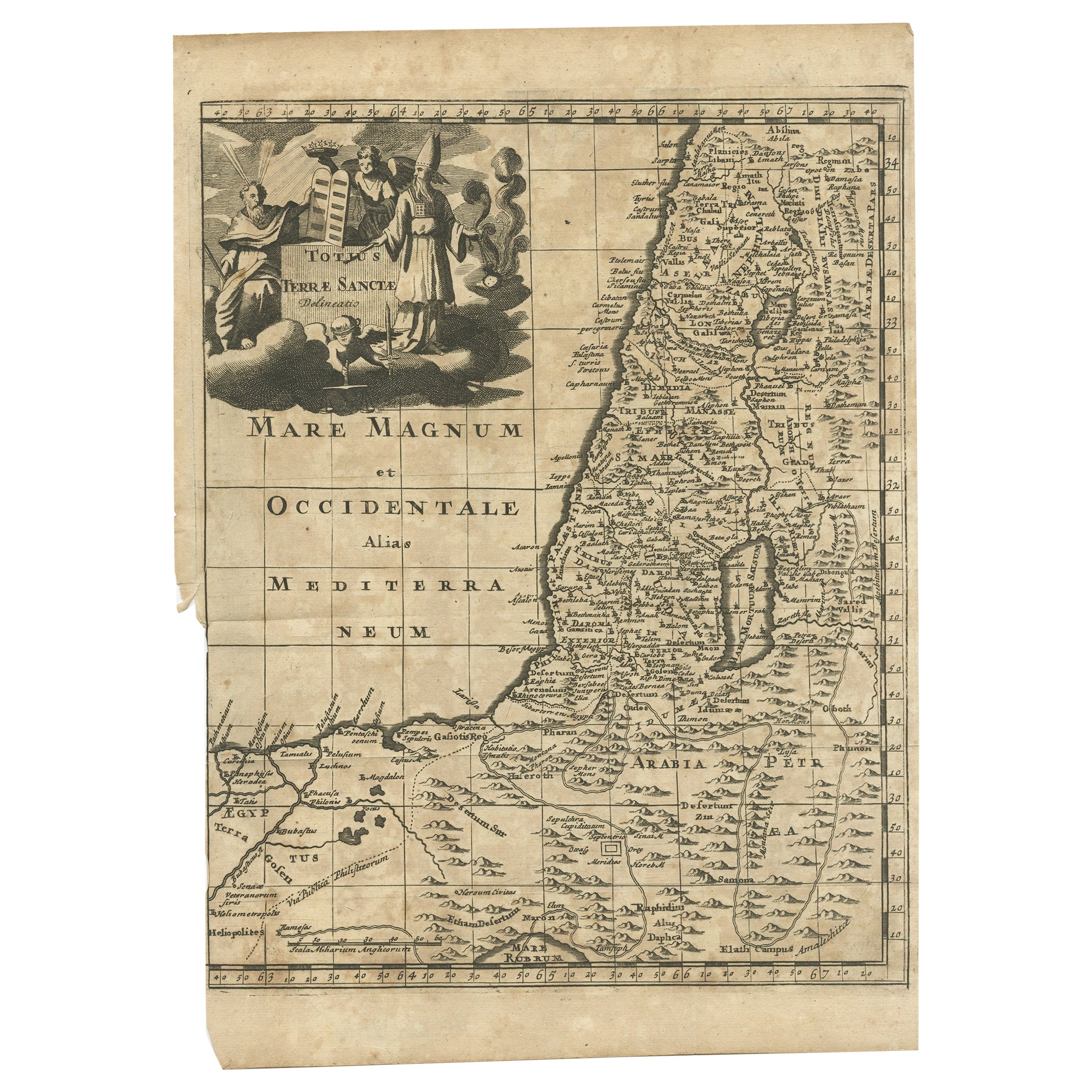
- Antique Map of the Holy Land by Keur, 1748Located in Langweer, NLAntique Map Holy Land titled 'De Gelegentheyd van t'Paradys ende t'Landt Canaan, Mitsgaders d'eerst bewoonde Landen der Patriarchen'. Includes five decorative vignettes, including No...Category
Antique 18th Century Maps
MaterialsPaper
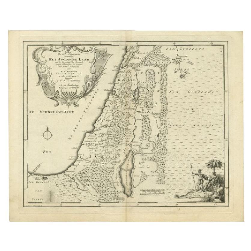
- Antique Map of the Jewish Land by Lindeman, 1761Located in Langweer, NLAntique map titled 'De VIde Landkaart Verbeeldende Het Joodsche Land (..).' Map of the Jewish Land during the reign of the Roman Emperor. Published by A. van Paddenburg, Netherlands ...Category
Antique 18th Century Maps
MaterialsPaper
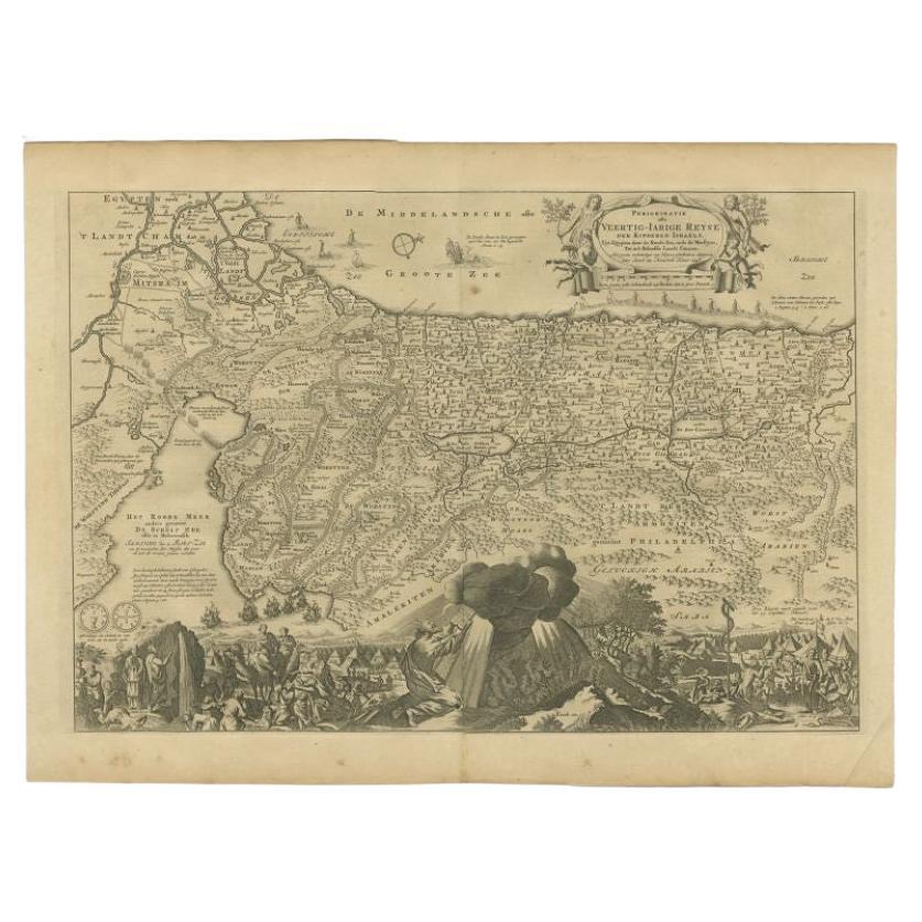
- Antique Map of the Holy Land by Keur, 1748Located in Langweer, NLAntique biblical map titled 'Perigrinatie ofte veertigh-Iarige Reyse der Kinderen Israels uyt Egypten door de Roode Zee ende de Woestyne tot in 't Beloof...Category
Antique 18th Century Maps
MaterialsPaper
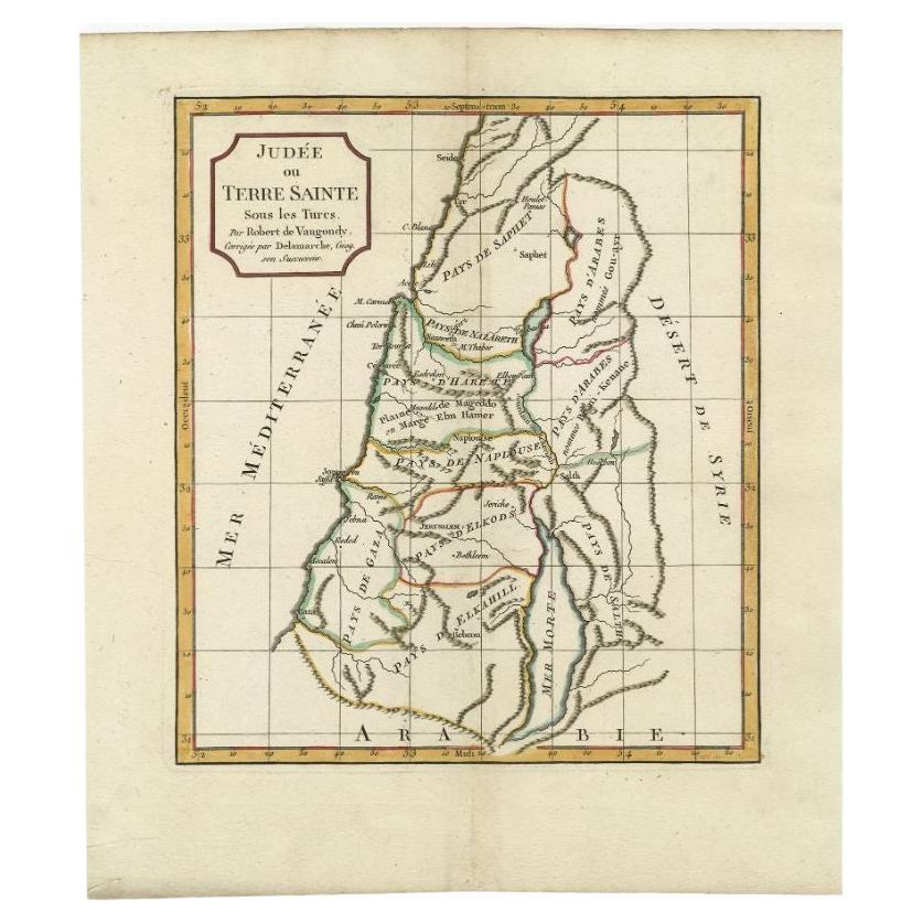
- Antique Map of the Holy Land by Delamarche, 1806By Charles Francois DelamarcheLocated in Langweer, NLAntique map titled 'Judee ou Terre Sainte sous les Turcs.' This map shows the holy land under the Turcs. By Robert de Vaugondy, revised and published by ...Category
Antique 19th Century Maps
MaterialsPaper
- Antique Map of the Holy Land by Danckerts, c.1710Located in Langweer, NLAntique map titled 'Afbeeldinge van de Veertich-Iaarige Reyse der Kinderen Israëls uyt Egypten door de Roode Zee en de Woestyne tot in 't Beloofde Landt Canaan'. Map of the Holy Land...Category
Antique 18th Century Maps
MaterialsPaper
- Antique Map of the Holy Land by Schut, 1710Located in Langweer, NLAntique map of the Holy Land titled 'Het Beloofde Landt Canaan.' Very detailed and decorative map of the Holy Land embellished with sailing ships and com...Category
Antique 18th Century Maps
MaterialsPaper


Recently Viewed
View AllMore Ways To Browse
Antique Montana Map
Antique Montana Maps
Montana Maps
Old Prints Of Maps
Arkansas Indian Map
Indian Territory Maps
Historical Balkan Map
Op Ocean Pacific
Brabant Map
Furniture Sellers In Israel
Map Of Edinburgh
Richard Bassett
Mapp Plate
Map Of Kiribati Islands
Mauritius Antique Map
Formosa Vintage Map
Georgetown Map
Vincenzo Coronelli On Sale