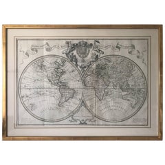
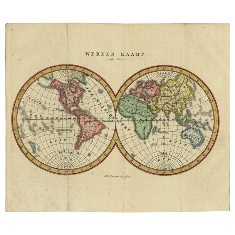
Extremely Rare Mappemonde a l'usage World Map Delisle, Guillaume Buache, 1730
View Similar Items


1 of 10
Extremely Rare Mappemonde a l'usage World Map Delisle, Guillaume Buache, 1730
About the Item
- Dimensions:Height: 22.45 in (57 cm)Width: 31.5 in (80 cm)Depth: 0.79 in (2 cm)
- Materials and Techniques:
- Place of Origin:
- Period:1730-1739
- Date of Manufacture:1730
- Condition:Wear consistent with age and use. Minor fading.
- Seller Location:Drottningholm, SE
- Reference Number:1stDibs: LU2692310642923
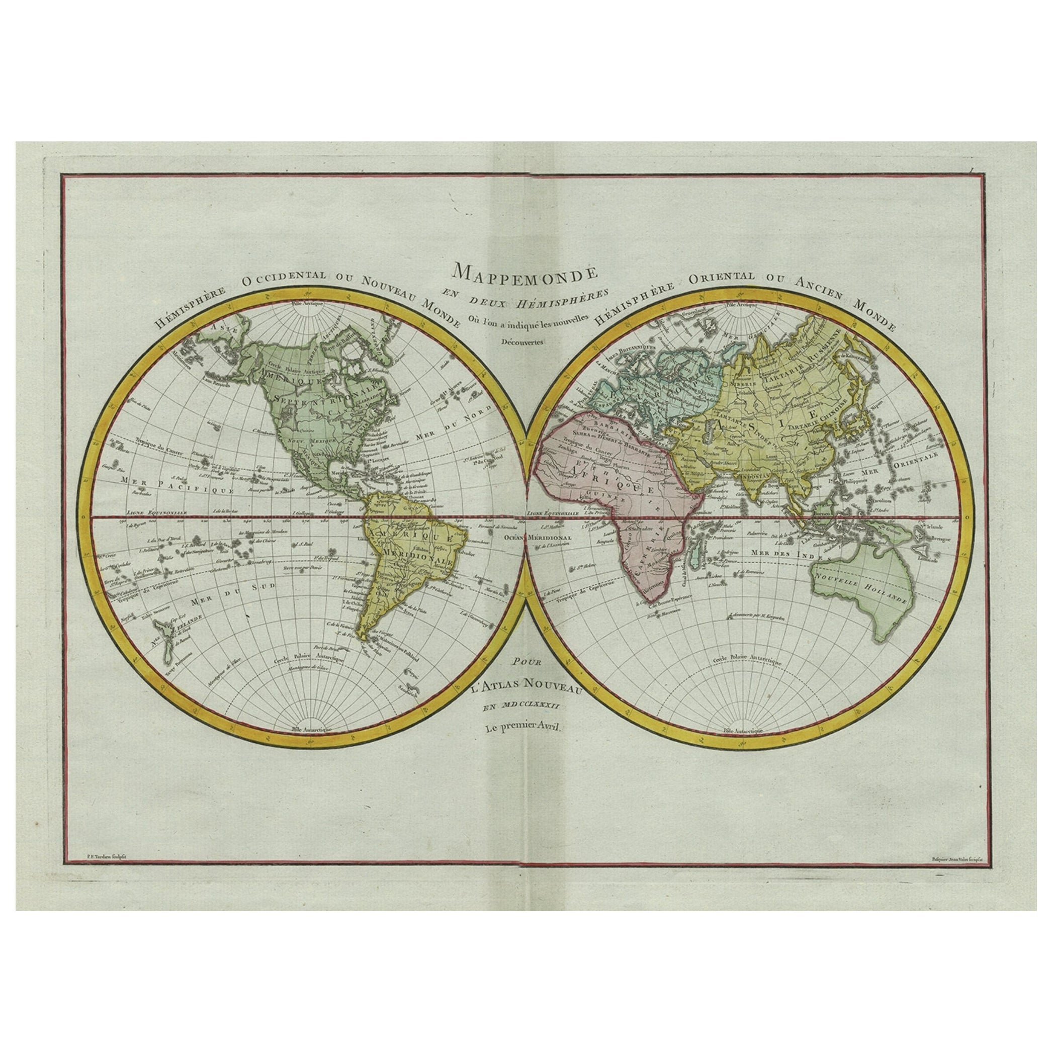
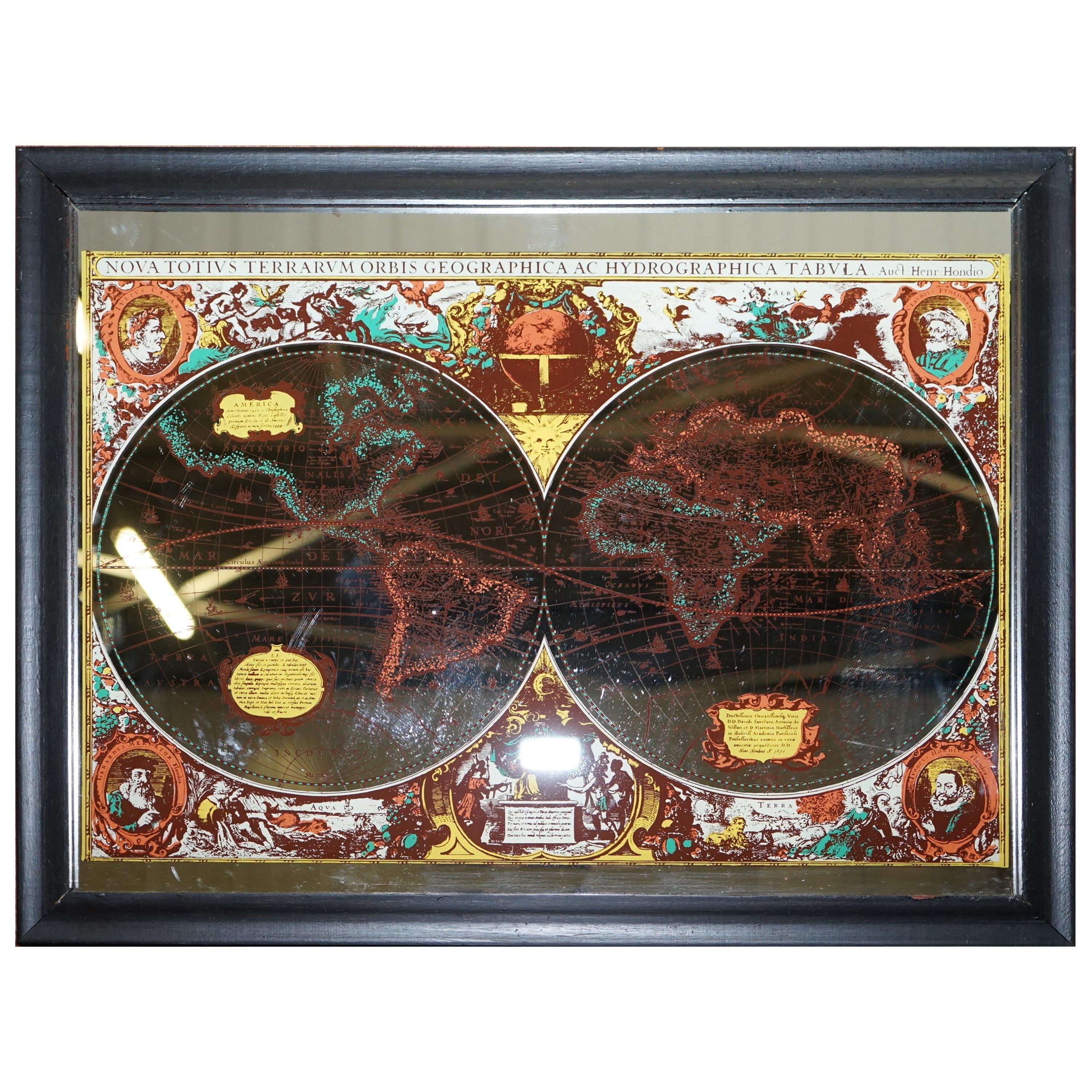
You May Also Like
- World Relief MapLocated in Antwerp, BELarge world relief map. Measures: Width 232 cm. Height 158 cm.Category
Mid-20th Century German Mid-Century Modern Maps
MaterialsAcrylic
 $1,970
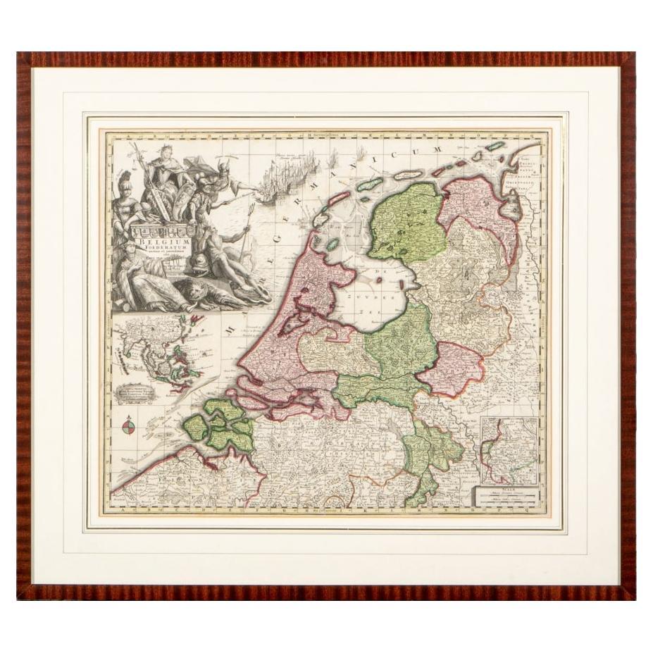
 - Matthaus Seutter, Framed 1730 Color Engraving Map of "Belgium Fonderatum"Located in Bridgeport, CTLabel on verso. From Grosser Atlas. The name Belgium comes from the ancient designation "Gallis Belgica". Figural decoration upper left. M. Seutter was a famed German mapmaker in the...Category
Antique 18th Century European Renaissance Maps
MaterialsBrass
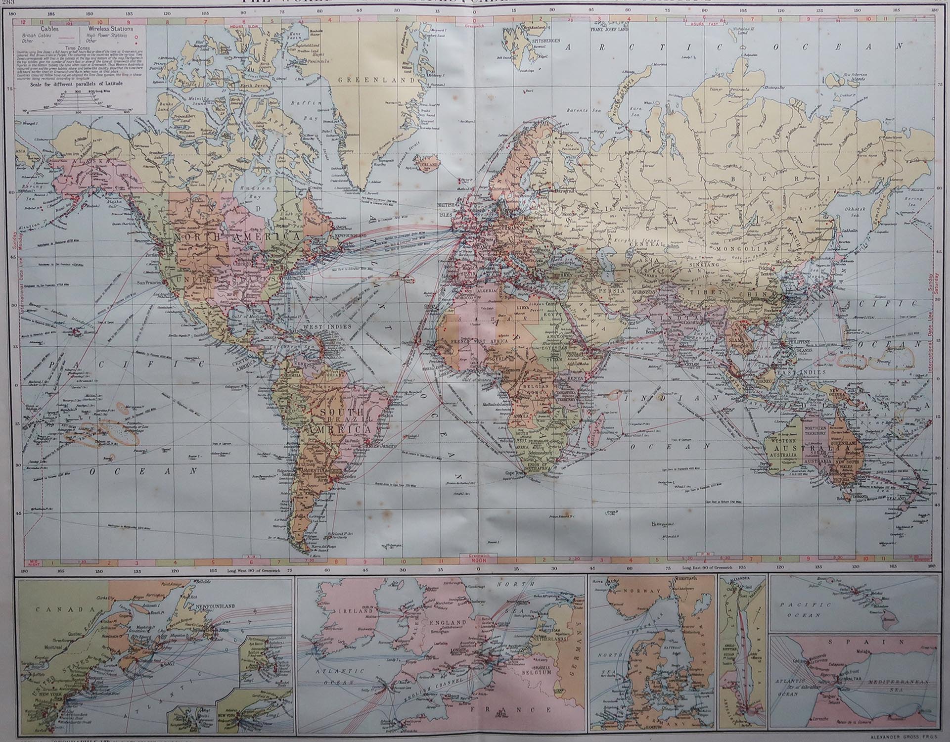
- Large Original Vintage Map of The World, circa 1920Located in St Annes, LancashireGreat map of The World Original color. Good condition / minor foxing Published by Alexander Gross Unframed.Category
Vintage 1920s English Maps
MaterialsPaper

- Large Original Antique Map of The World, Fullarton, C.1870Located in St Annes, LancashireGreat map of the World. Showing both hemispheres From the celebrated Royal Illustrated Atlas Lithograph. Original color. Published by Fullarton, Edinburgh, C.1870 Unframed. Rep...Category
Antique 1870s Scottish Maps
MaterialsPaper
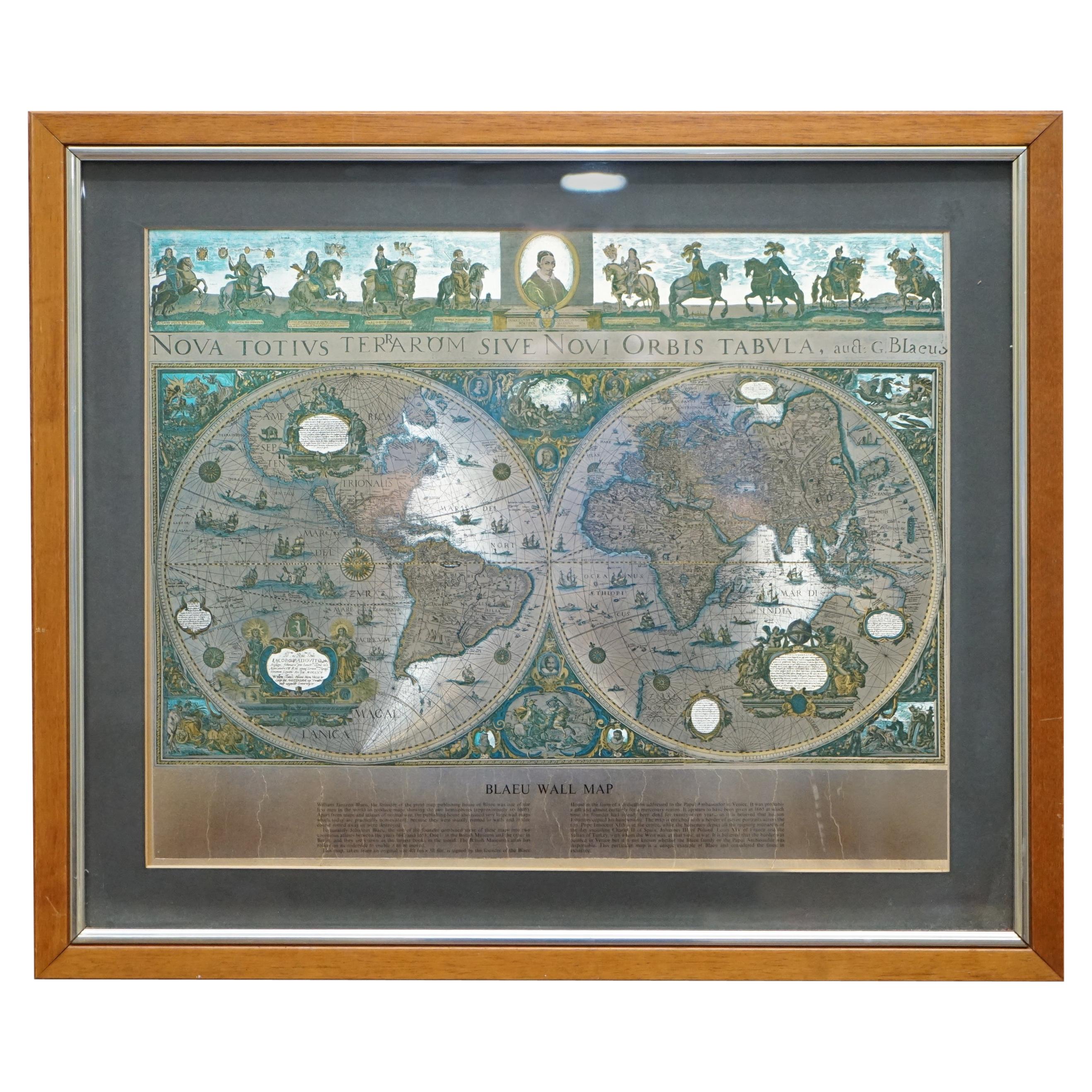
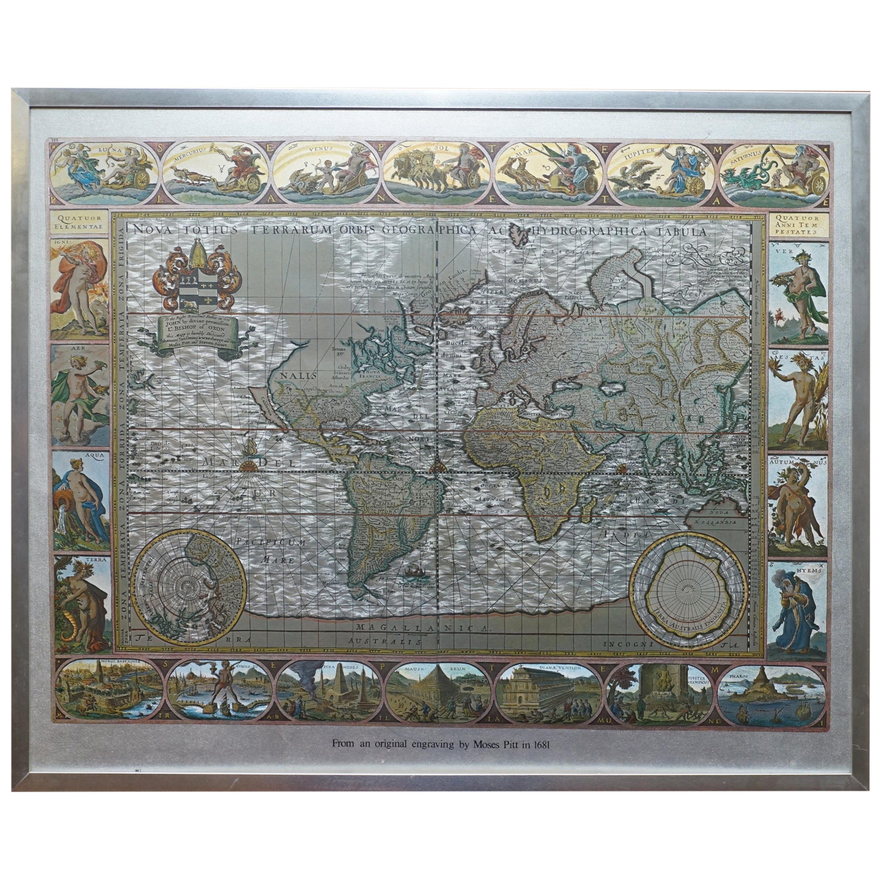
- World Map Silver Leaf Print Based on Original Willem Blaeu Wall Map 1571-1638Located in GBWe are delighted to offer for sale this lovely Antique style pictorial plan map of the globe based on the original Willem Blaeu 1571-1638 engraved in silver leaf foil This is a v...Category
20th Century English Campaign Maps
MaterialsSilver Leaf
- Large Original Antique Map of the World, Fullarton, circa 1870Located in St Annes, LancashireGreat map of the World. From the celebrated Royal Illustrated Atlas Lithograph. Original color. Published by Fullarton, Edinburgh, circa 1870. Unframed.Category
Antique 1870s Scottish Maps
MaterialsPaper


Recently Viewed
View AllMore Ways To Browse
Hemispheres Map
Large Map Of The Netherlands
Antique Hemisphere Maps
Hemisphere World Map
Louis Roy
Map Of St Louis
Magellan Map
Mappemonde Antique
Antique Whimsical
Antique Atlas Map
Antique Maps Prints
Antique Map Prints
Antique Map Print
Antique Prints Maps
Antique Prints And Maps
Antique Maps And Prints
Map 19th Century
Antique Atlas Furniture