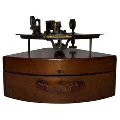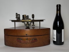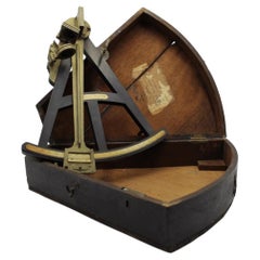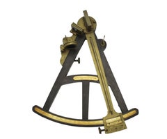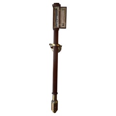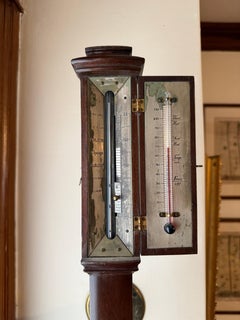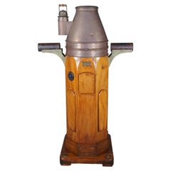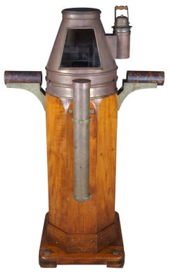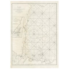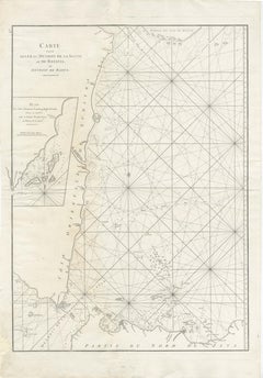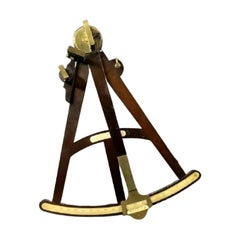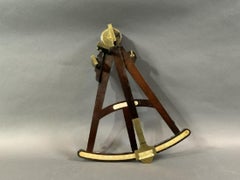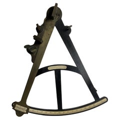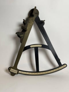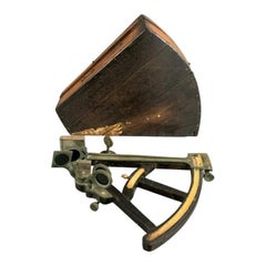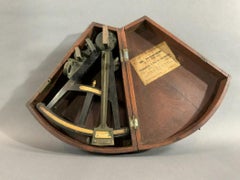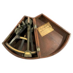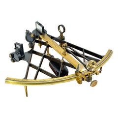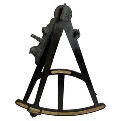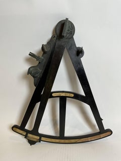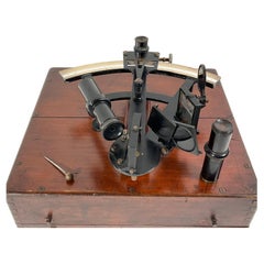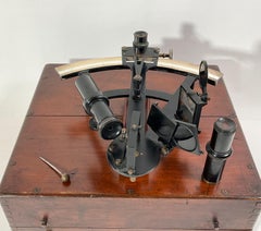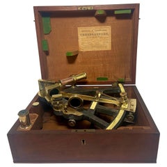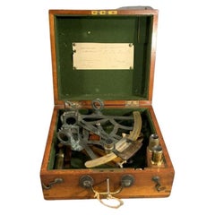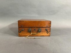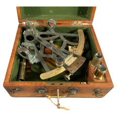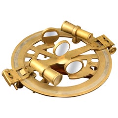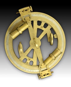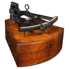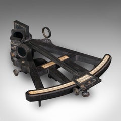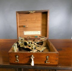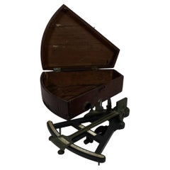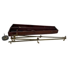
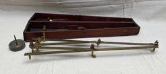
Troughton & Simms Navigators Pantograph
Located in Norwell, MA
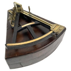
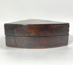
Nineteenth century pantograph with box by Troughton and Simms. Engraved Troughton and Simms, London. Missing one wheel. Great nautical instrument. Used in plotting course on a marine...
Category
1920s European Antique Navigator
Materials
Wood