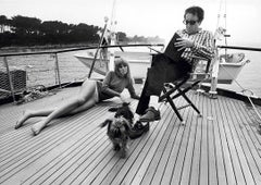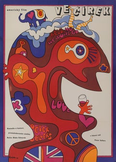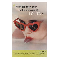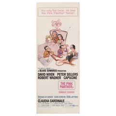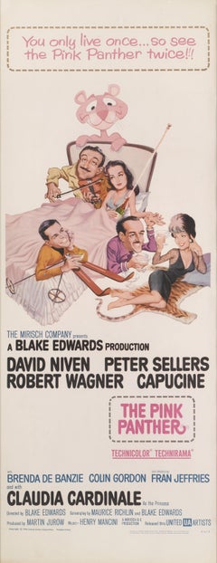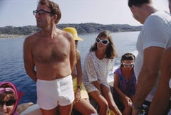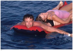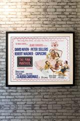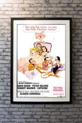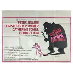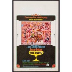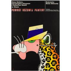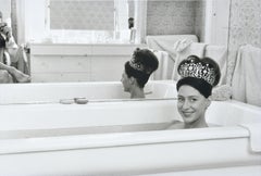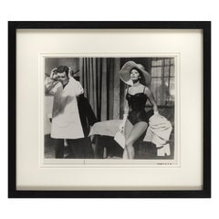
Peter Sellers and Britt Ekland
By Slim Aarons
Located in New York, NY
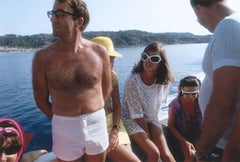
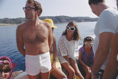
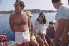
Peter and Britt, 1967 Sharing a lilo, film stars Peter Sellers (1925 - 1980) and his glamorous wife model and actress, Britt Ekland spend their holiday on the Costa Smeralda, 1967.
Category
1960s Modern Color Photography
Materials
Lambda