1780s More Furniture and Collectibles
French Louis XVI Antique 1780s More Furniture and Collectibles
Leather, Walnut


French Other Antique 1780s More Furniture and Collectibles
Paper

Antique 1780s More Furniture and Collectibles
Wood

Antique 1780s More Furniture and Collectibles
Paper

Antique 1780s More Furniture and Collectibles
Paper

Antique 1780s More Furniture and Collectibles
Paper

Antique 1780s More Furniture and Collectibles
Paper

Antique 1780s More Furniture and Collectibles
Paper

French Other Antique 1780s More Furniture and Collectibles
Paper

Antique 1780s More Furniture and Collectibles
Paper

English George III Antique 1780s More Furniture and Collectibles
Brass

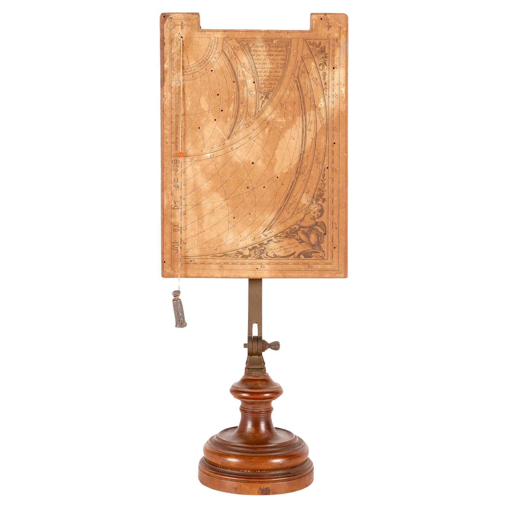
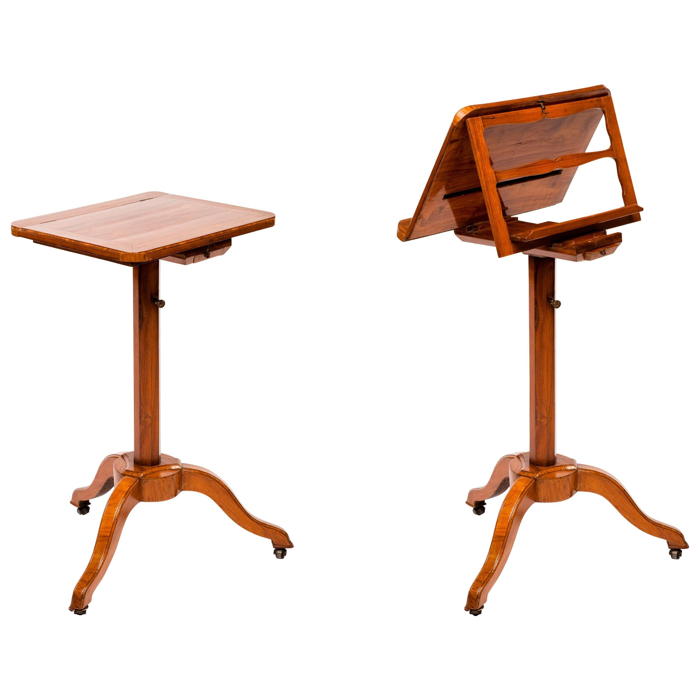
Italian Antique 1780s More Furniture and Collectibles
Wood

Antique 1780s More Furniture and Collectibles
Paper

Antique 1780s More Furniture and Collectibles
Paper

Antique 1780s More Furniture and Collectibles
Paper

Antique 1780s More Furniture and Collectibles
Paper

Antique 1780s More Furniture and Collectibles
Paper

English American Colonial Antique 1780s More Furniture and Collectibles
Leather, Fabric, Paper

Antique 1780s More Furniture and Collectibles
Paper

German Baroque Antique 1780s More Furniture and Collectibles
Iron

Antique 1780s More Furniture and Collectibles
Paper

Unknown Antique 1780s More Furniture and Collectibles
Natural Fiber

French Louis XVI Antique 1780s More Furniture and Collectibles
Gold

Antique 1780s More Furniture and Collectibles
Paper

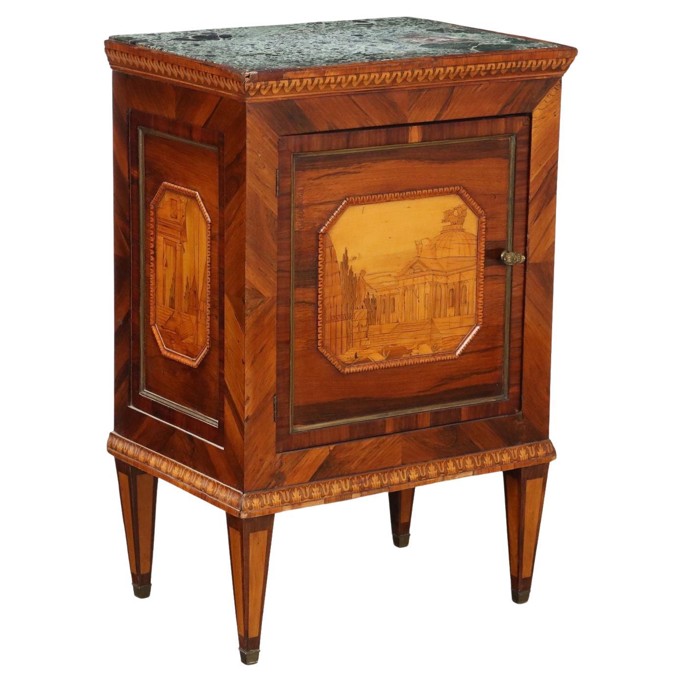
Italian Antique 1780s More Furniture and Collectibles
Wood

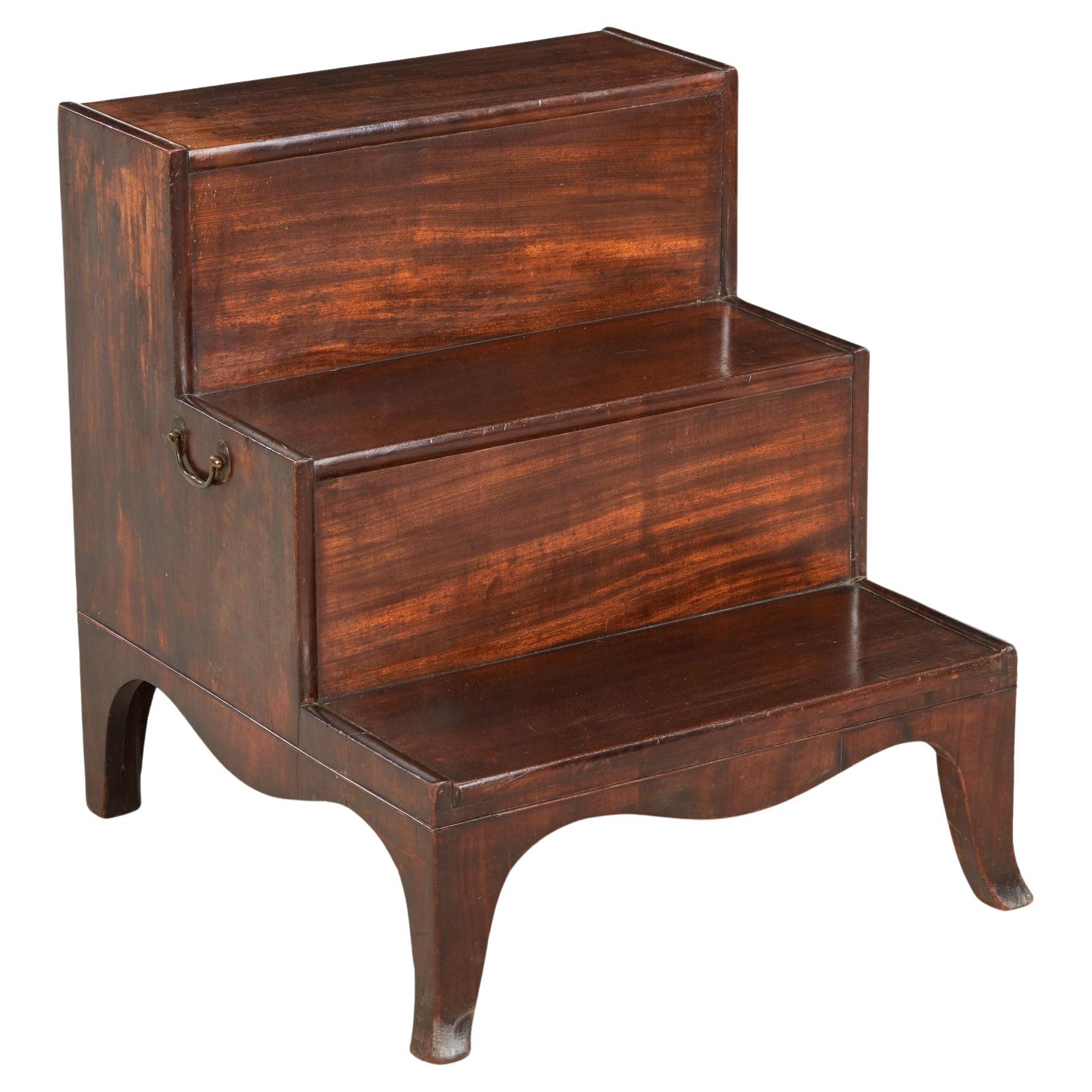
English Georgian Antique 1780s More Furniture and Collectibles
Hardwood

Antique 1780s More Furniture and Collectibles
Paper

Antique 1780s More Furniture and Collectibles
Paper

Antique 1780s More Furniture and Collectibles
Paper

Swedish Gustavian Antique 1780s More Furniture and Collectibles
Brass
 in Birch with a Noble Crown. Gustavian, dated 1783")
Scandinavian Baroque Antique 1780s More Furniture and Collectibles
Pine

English Other Antique 1780s More Furniture and Collectibles
Leather, Wood, Paper

Antique 1780s More Furniture and Collectibles
Paper

French Country Antique 1780s More Furniture and Collectibles
Steel, Iron

Antique 1780s More Furniture and Collectibles
Paper

Antique 1780s More Furniture and Collectibles
Paper

French Empire Antique 1780s More Furniture and Collectibles
Wool

Antique 1780s More Furniture and Collectibles
Paper

Antique 1780s More Furniture and Collectibles
Paper

Antique 1780s More Furniture and Collectibles
Paper

Antique 1780s More Furniture and Collectibles
Paper

French Antique 1780s More Furniture and Collectibles
Leather

Antique 1780s More Furniture and Collectibles
Paper
: Tribes and Territories by Mentele")
British Georgian Antique 1780s More Furniture and Collectibles
Glass, Paper

English George III Antique 1780s More Furniture and Collectibles
Mahogany

Antique 1780s More Furniture and Collectibles
Paper

Antique 1780s More Furniture and Collectibles
Paper

American Federal Antique 1780s More Furniture and Collectibles
Leather, Fabric, Paper

Antique 1780s More Furniture and Collectibles
Paper

English Georgian Antique 1780s More Furniture and Collectibles
Mahogany

Antique 1780s More Furniture and Collectibles
Paper

Dutch Rococo Antique 1780s More Furniture and Collectibles
Ceramic, Delft, Faience

English Antique 1780s More Furniture and Collectibles
Quartz, Gold

Antique 1780s More Furniture and Collectibles
Paper

Italian Antique 1780s More Furniture and Collectibles
Brass

Antique 1780s More Furniture and Collectibles
Paper

Antique 1780s More Furniture and Collectibles
Paper

Antique 1780s More Furniture and Collectibles
Paper

Read More
Medal-Worthy Memorabilia from Epic Past Olympic Games
Get into the games! These items celebrate the events, athletes, host countries and sporting spirit.
Ahoy! You’ve Never Seen a Collection of Sailor Art and Kitsch Quite Like This
French trendsetter and serial collector Daniel Rozensztroch tells us about his obsession with objects related to seafaring men.
39 Incredible Swimming Pools
It's hard to resist the allure of a beautiful pool. So, go ahead and daydream about whiling away your summer in paradise.
Pamela Shamshiri Shares the Secrets behind Her First-Ever Book and Its Effortlessly Cool Interiors
The sought-after designer worked with the team at Hoffman Creative to produce a monograph that beautifully showcases some of Studio Shamshiri's most inspiring projects.
Moroccan Artworks and Objects Take Center Stage in an Extraordinary Villa in Tangier
Italian writer and collector Umberto Pasti opens the doors to his remarkable cave of wonders in North Africa.
Montecito Has Drawn Royalty and Celebrities, and These Homes Are Proof of Its Allure
Hollywood A-listers, ex-pat aristocrats and art collectors and style setters of all stripes appreciate the allure of the coastal California hamlet — much on our minds after recent winter floods.
Whaam! Blam! Pow! — a New Book on Pop Art Packs a Punch
Publishing house Assouline and writer Julie Belcove have teamed up to trace the history of the genre, from Roy Lichtenstein, Andy Warhol and Yayoi Kusama to Mickalene Thomas and Jeff Koons.
The Sparkling Legacy of Tiffany & Co. Explained, One Jewel at a Time
A gorgeous new book celebrates — and memorializes — the iconic jeweler’s rich heritage.